Gravel Adventure through Franconian Switzerland
A gravel cycling route starting from Pommelsbrunn
Discover the rugged beauty of Franconian Switzerland on this 88-km gravel adventure.
Map
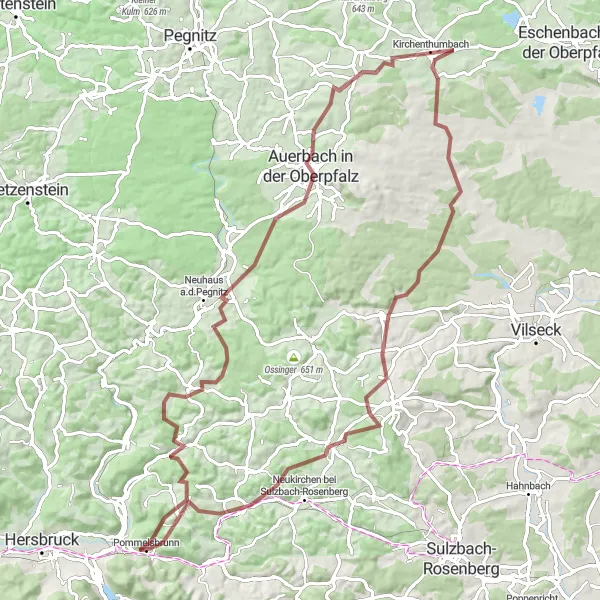
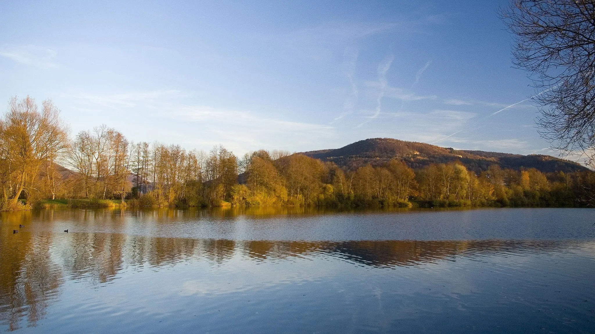
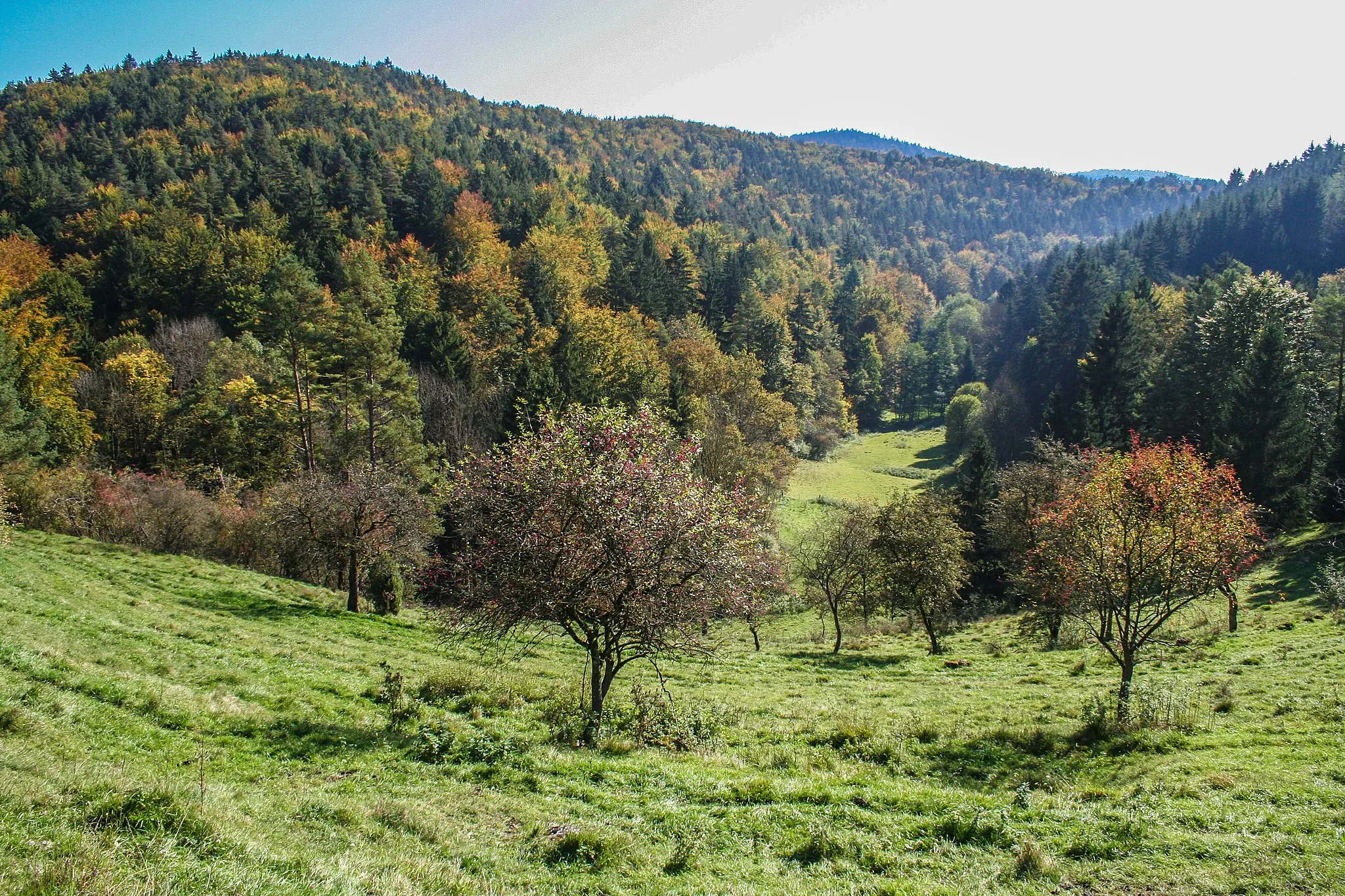
This gravel route takes you through the picturesque landscapes of Franconian Switzerland, known for its rocky cliffs and dense forests. With an ascent of 1579 meters over a distance of 88 kilometers, it offers a challenging ride for experienced gravel cyclists. Along the way, you'll pass through charming villages and enjoy breathtaking views from scenic viewpoints. The route also includes several highlights, such as Rutschen, a natural slide formed by rock formations, and Auerbach in der Oberpfalz, a historic town known for its well-preserved old town.
gravel
88 km
1579 m
Tough
Route profile
Highlights on the route
0 km
0 km
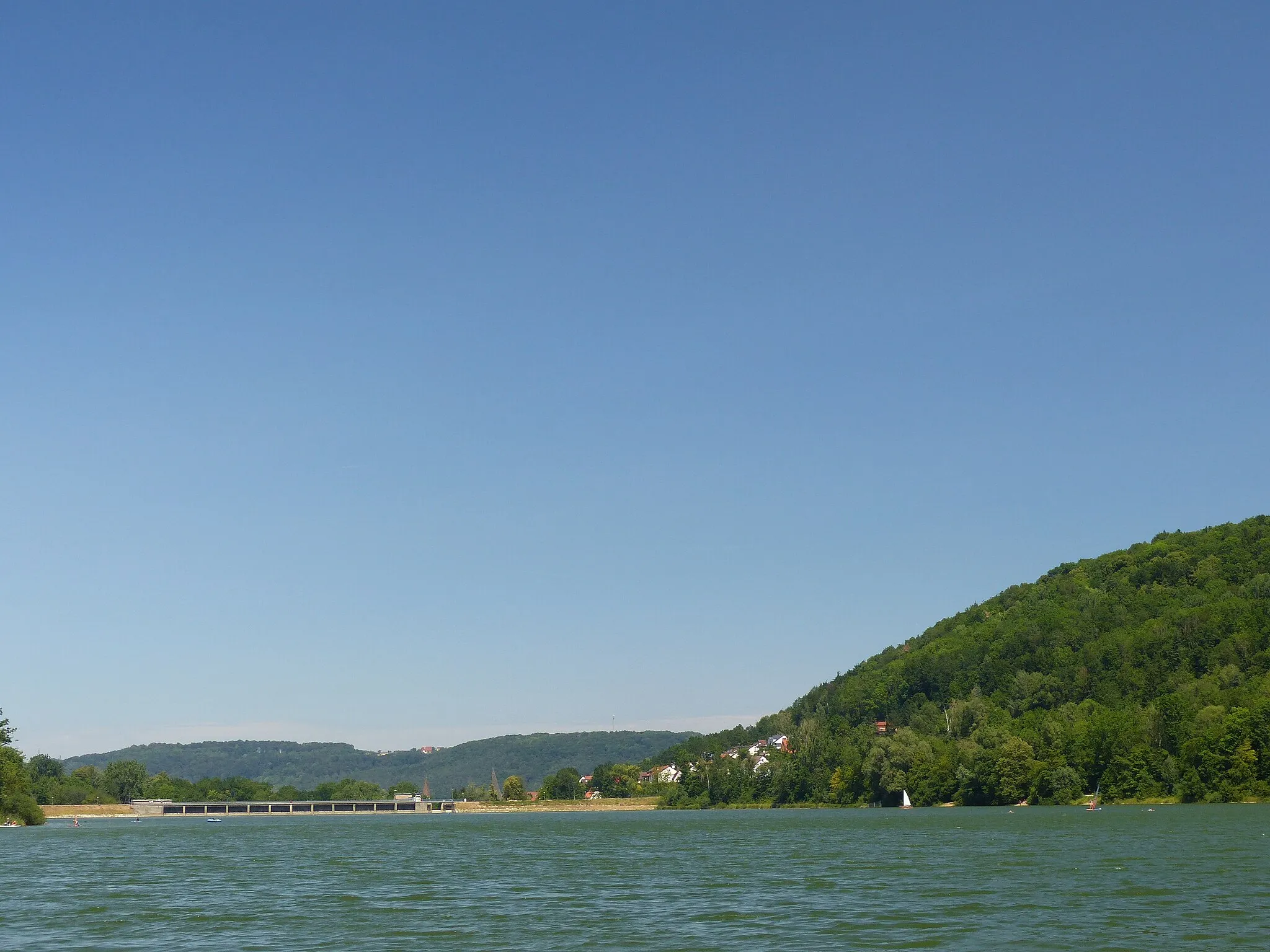
Start: Pommelsbrunn Village centerPommelsbrunn: Conquer legendary climbs in stunning landscapes of Pommelsbrunn, Germany.
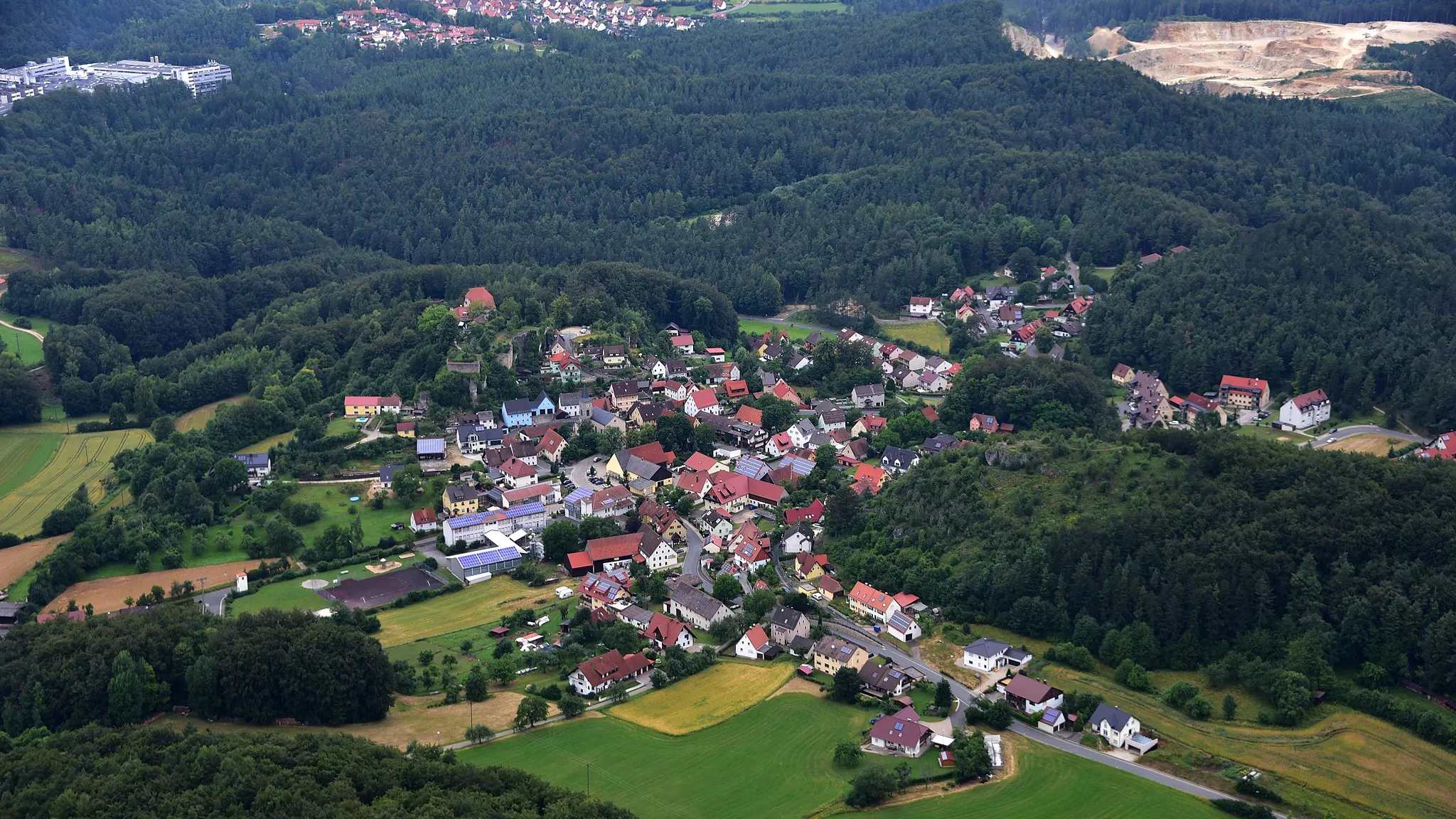
Pommelsbrunn, situated in Mittelfranken, Germany, is a region that is ideal for road and gravel cyclists. The locality is known for its stunning landscapes, ranging from forested hills to rocky formations. Cyclists exploring Pommelsbrunn can enjoy a mixture of challenging climbs and more moderate routes surrounded by beautiful scenery. Famous cycling attractions in the area include the Fränkische Schweiz region, which offers a diverse range of climbs, including the notorious Ochsenkopf. In addition to road cycling, Pommelsbrunn offers gravel cyclists the opportunity to venture into scenic off-road trails that wind through forests and rural areas. From a cyclist's point of view, Pommelsbrunn would be ranked as a 5 due to its legendary climbs and impressive landscapes.6 km
6 km
Rutschen591 mPeakLocated along the route, Rutschen is a unique natural slide formed by rock formations. It's worth taking a break and experiencing the thrill of sliding down the rocks.
9 km
9 km
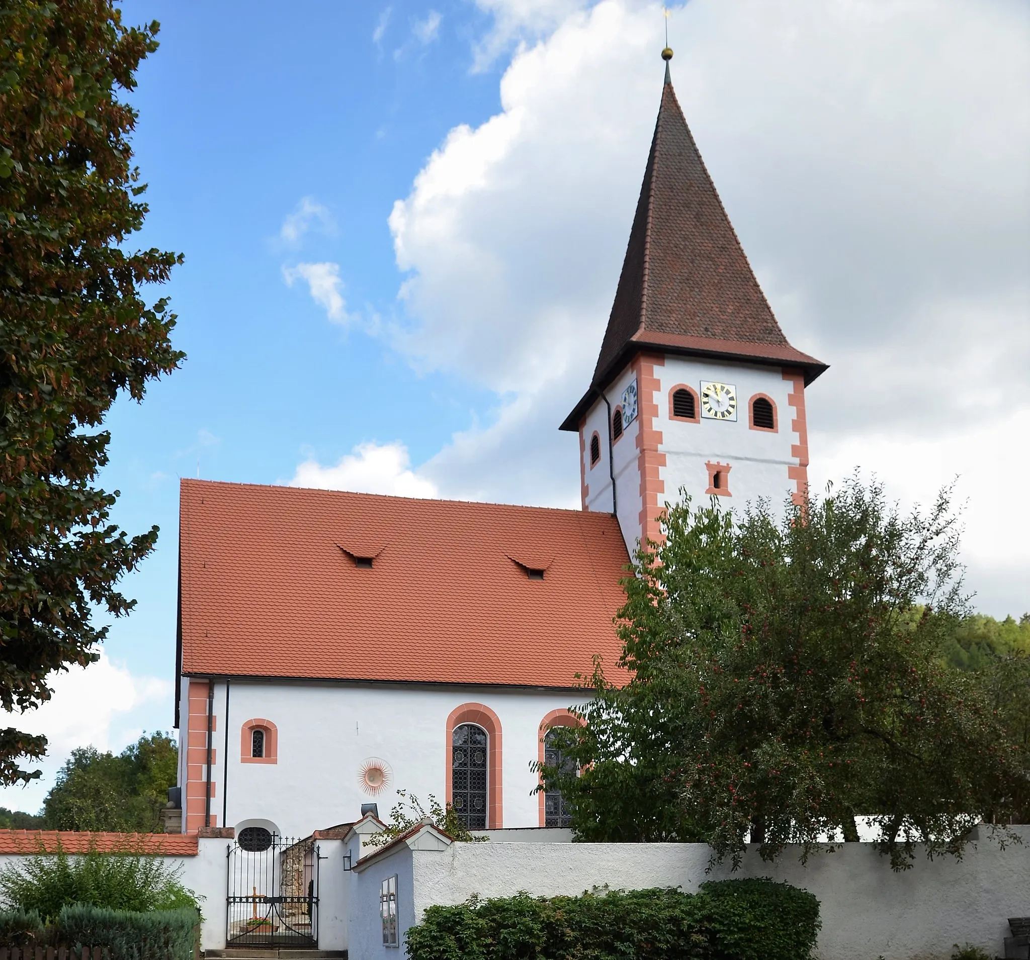
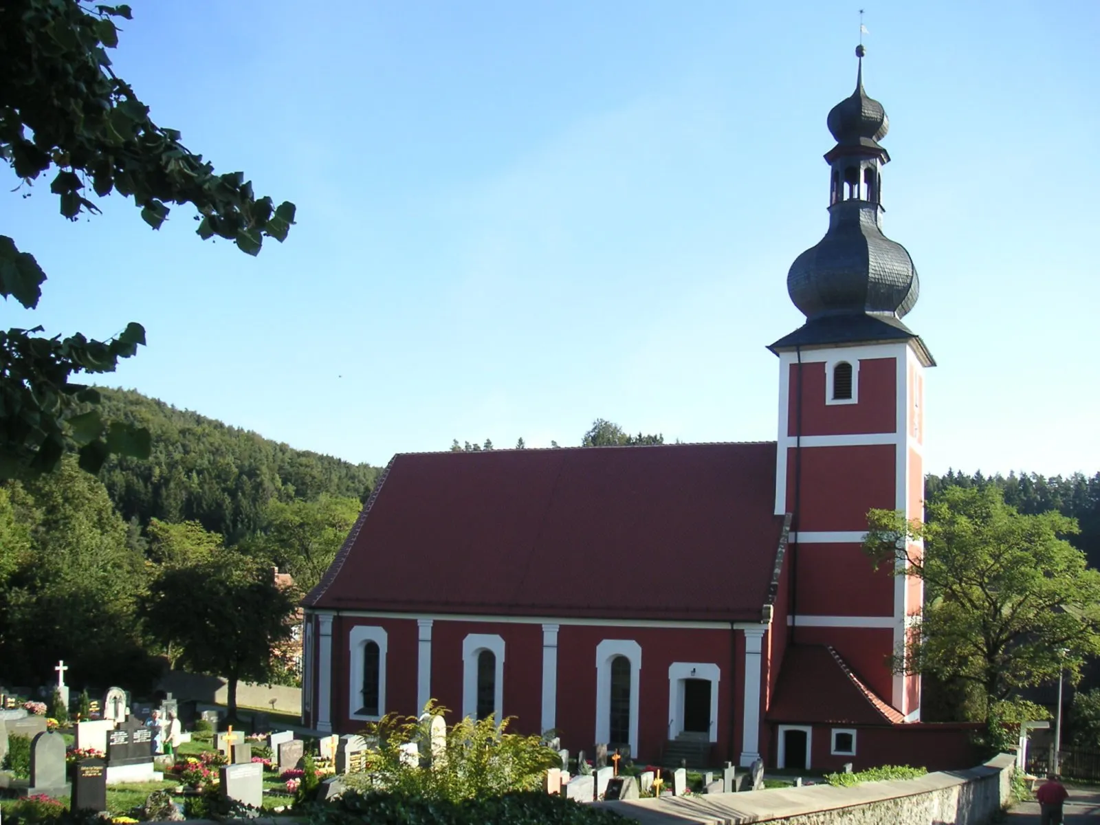
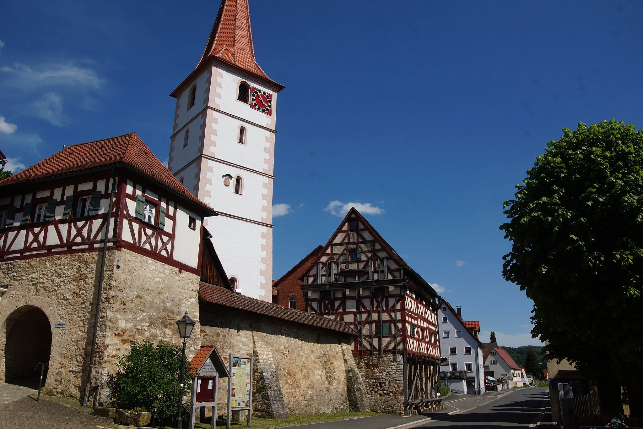
HirschbachVillageHirschbach is a charming village with traditional half-timbered houses. Take a moment to explore the village and enjoy its peaceful atmosphere.
16 km
16 km
Giebelstein512 mPeakGiebelstein is a striking rock formation that offers panoramic views of the surrounding countryside. It's a great spot to stop and take in the beauty of the landscape.
32 km
32 km
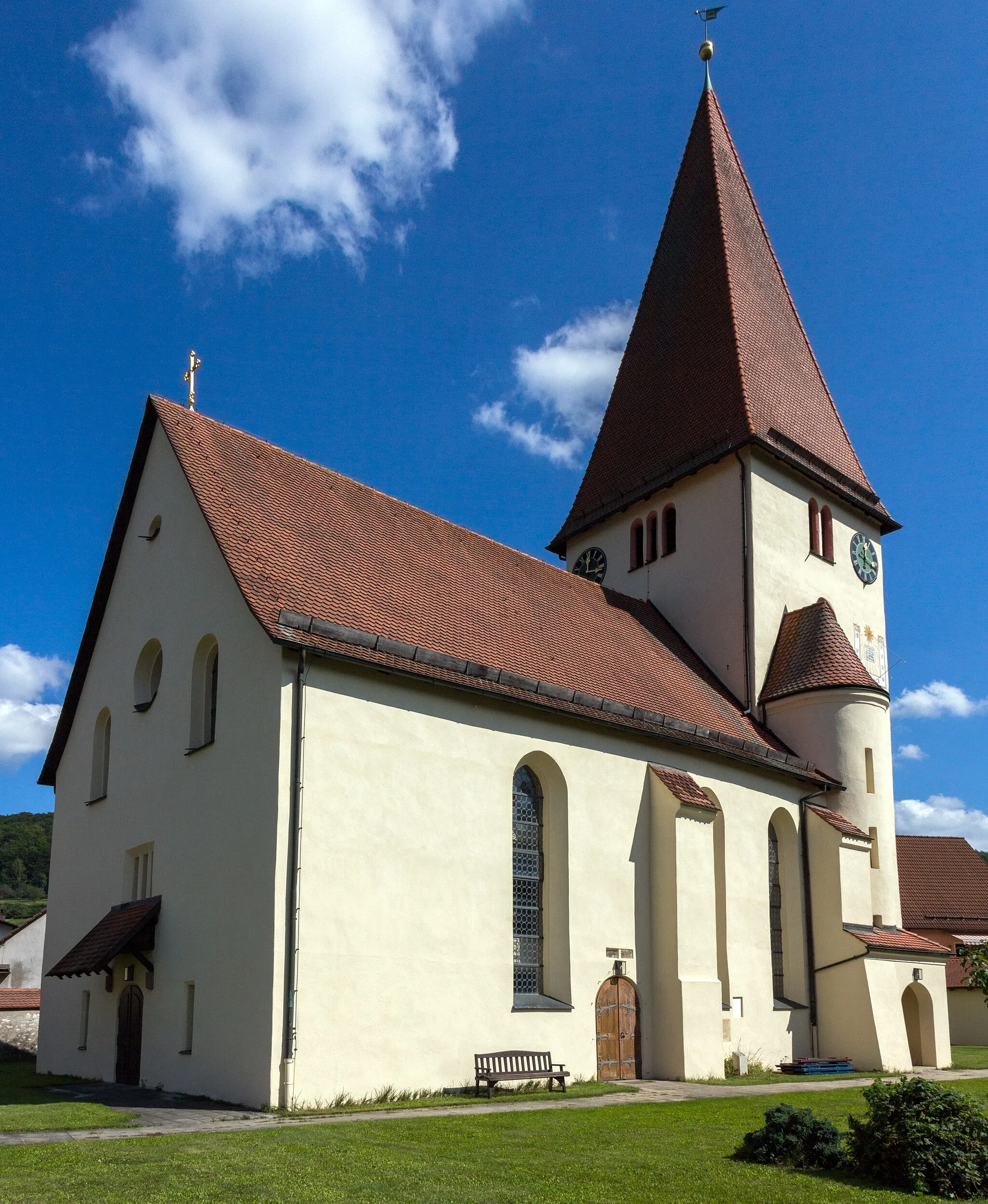
Auerbach in der OberpfalzTownAuerbach in der Oberpfalz is a historic town with a well-preserved old town. Visit the castle and wander through the narrow streets to get a feel for its medieval charm.
44 km
44 km
KirchenthumbachVillageKirchenthumbach is a picturesque village with traditional Franconian architecture. Explore the village and discover its quaint charm.
65 km
65 km
Spitzfelsen528 mPeakLocated along the route, Spitzfelsen offers stunning views of the surrounding countryside. Take a moment to appreciate the natural beauty of the area.
67 km
67 km
NiederärndtHamletNiederärndt is a small village with beautiful half-timbered houses. Stop by and enjoy the peaceful atmosphere of this charming village.
78 km
78 km
Steinberg526 mPeakSteinberg is a historic castle ruin located on a hilltop. Explore the ruins and take in the panoramic views of the surrounding landscape.
88 km
88 km
PommelsbrunnVillageThe route starts and ends in Pommelsbrunn, a scenic village with traditional Franconian architecture. Take some time to explore the village before or after your ride.
88 km
88 km
Finish: Pommelsbrunn Village centerPommelsbrunn: Conquer legendary climbs in stunning landscapes of Pommelsbrunn, Germany.
Cycling routes from Pommelsbrunn:
Cycling routes nearby: