Hidden Gems of Treuchtlingen
A gravel cycling route starting from Treuchtlingen
Discover the lesser-known treasures of Treuchtlingen on this gravel route.
Map
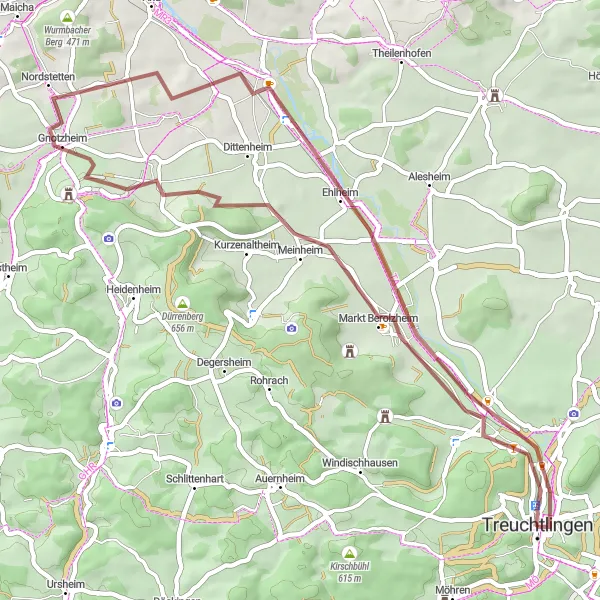
Embark on a 50-kilometer gravel adventure through the hidden gems of Treuchtlingen. With an ascent of 289 meters, this route takes you to Schloss Treuchtlingen, Bubenheimer Berg, Steinacker, Gelber Berg, Meinheim, Patrichberg, and back to Treuchtlingen.
gravel
50 km
289 m
Chill
Route profile
Highlights on the route
0 km
0 km
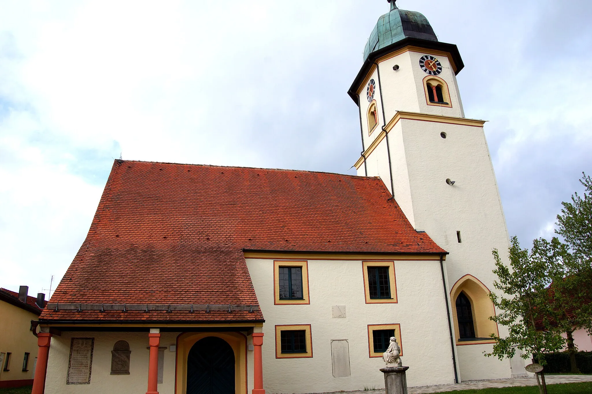
Start: Treuchtlingen City centerTreuchtlingen: Nature's paradise for cyclists in Treuchtlingen, Mittelfranken, Germany
Treuchtlingen is a cyclist-friendly locality in Mittelfranken, Germany. The town is surrounded by beautiful natural landscapes, including lush forests and scenic river valleys, making it an ideal destination for cyclists who love outdoor adventures. The area offers a variety of cycling routes suitable for all skill levels, including flat terrain for leisurely rides or more challenging climbs for experienced cyclists. One of the highlights in Treuchtlingen is the Altmühltal cycle path, a popular 250 km trail that takes cyclists through stunning landscapes and historical towns. Cyclists can also explore the nearby Franconian Lake District, which offers numerous lakes for water-based activities and relaxation. Treuchtlingen is a must-visit for cyclists looking for diverse routes and breathtaking scenery.0 km
0 km
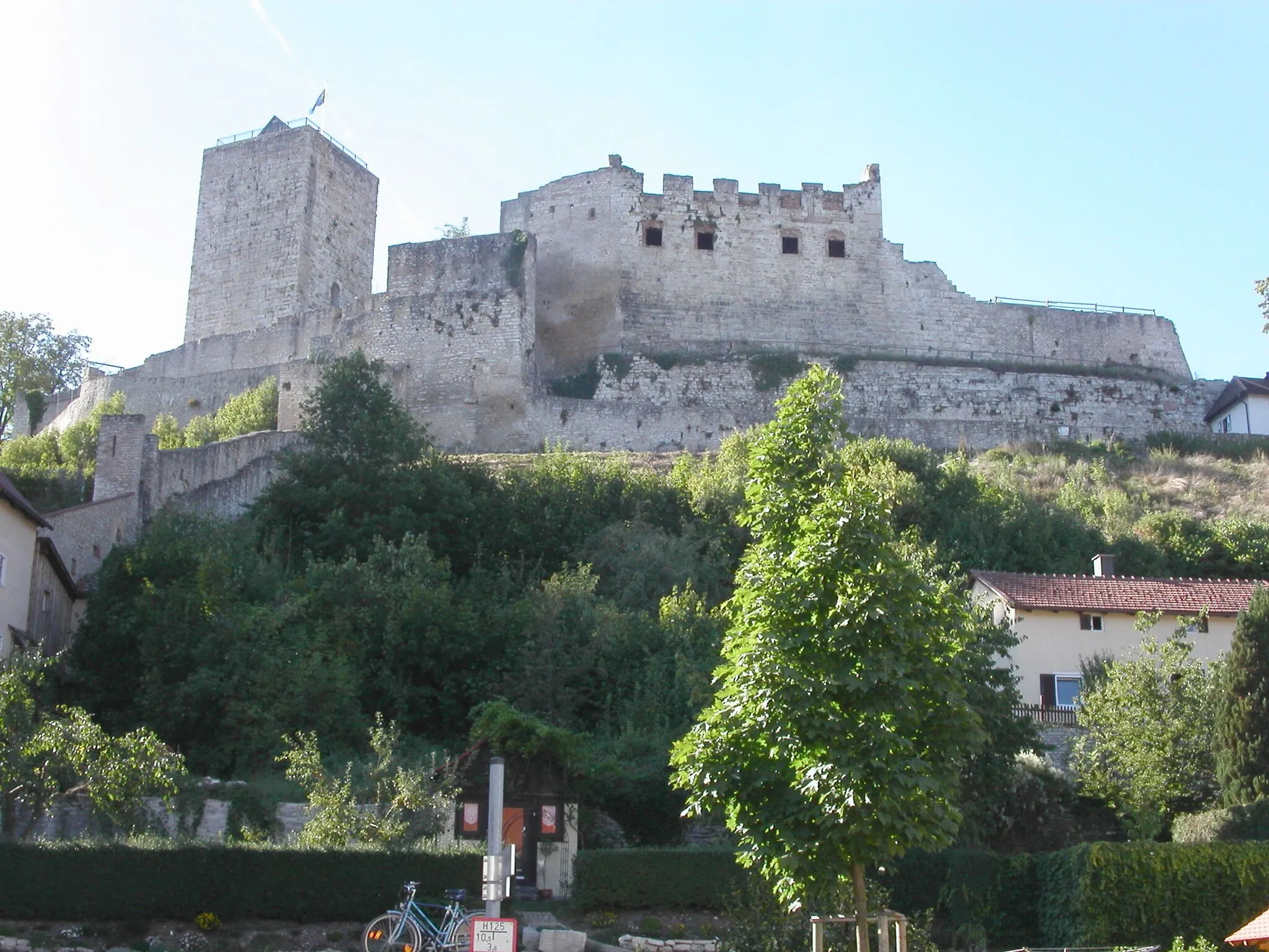
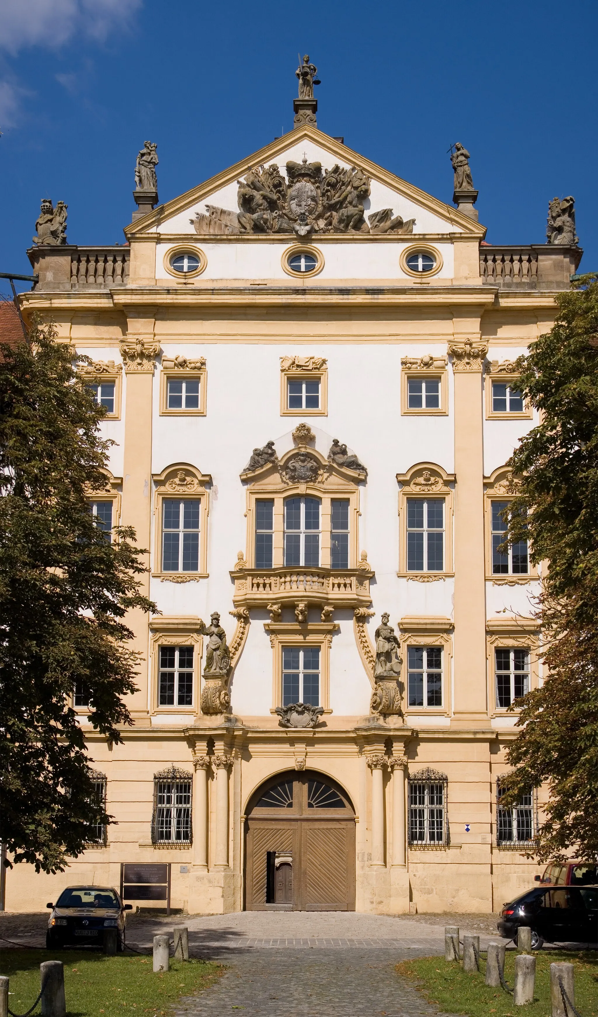
Schloss TreuchtlingenCastleSchloss Treuchtlingen is a picturesque castle with a rich history, surrounded by scenic gardens and a moat.
4 km
4 km
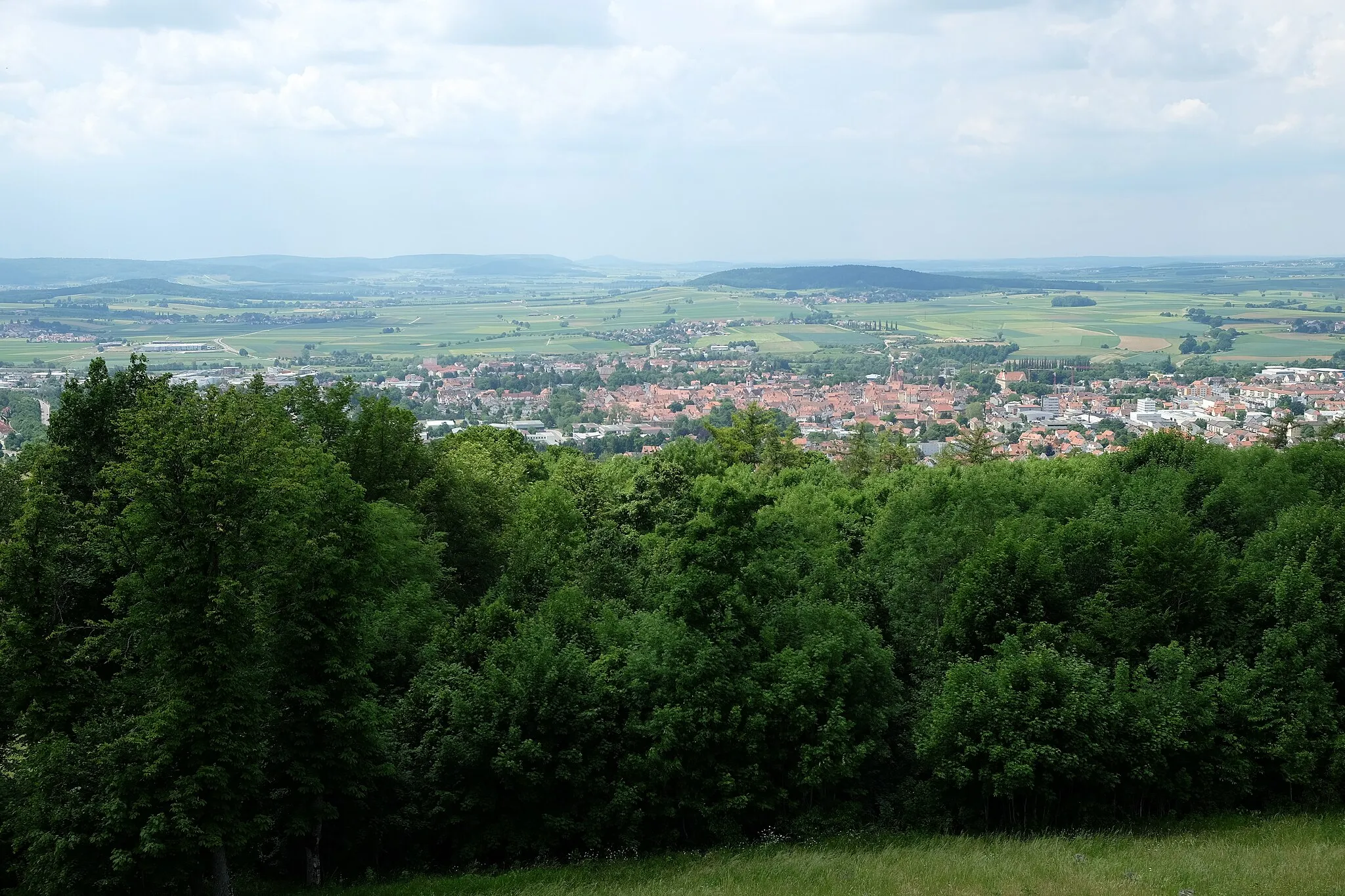
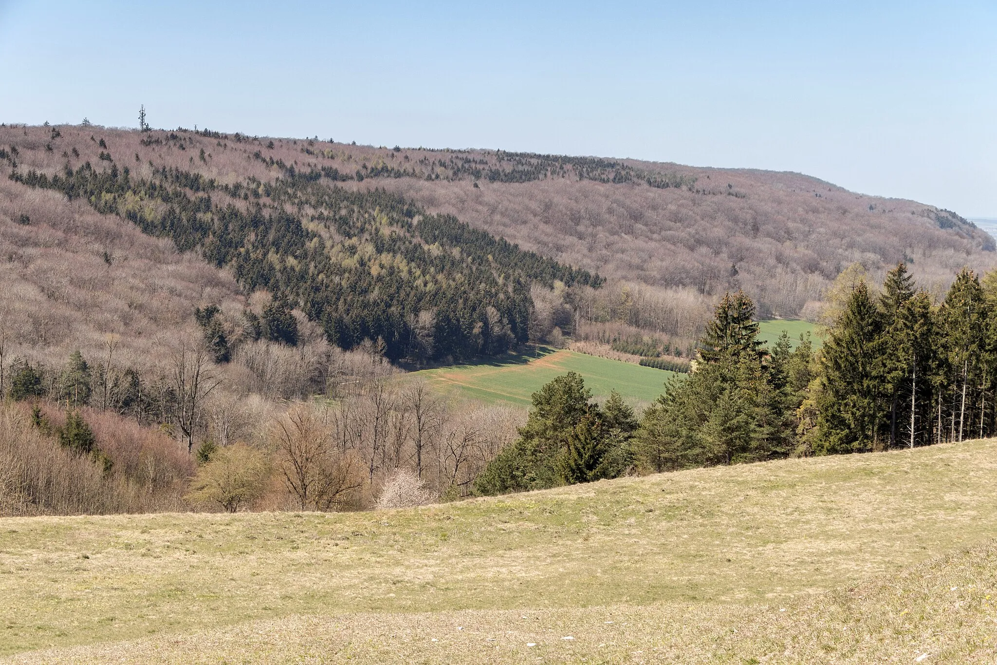
Bubenheimer Berg475 mPeak ViewpointBubenheimer Berg is a small hill that offers panoramic views of the surrounding countryside.
24 km
24 km
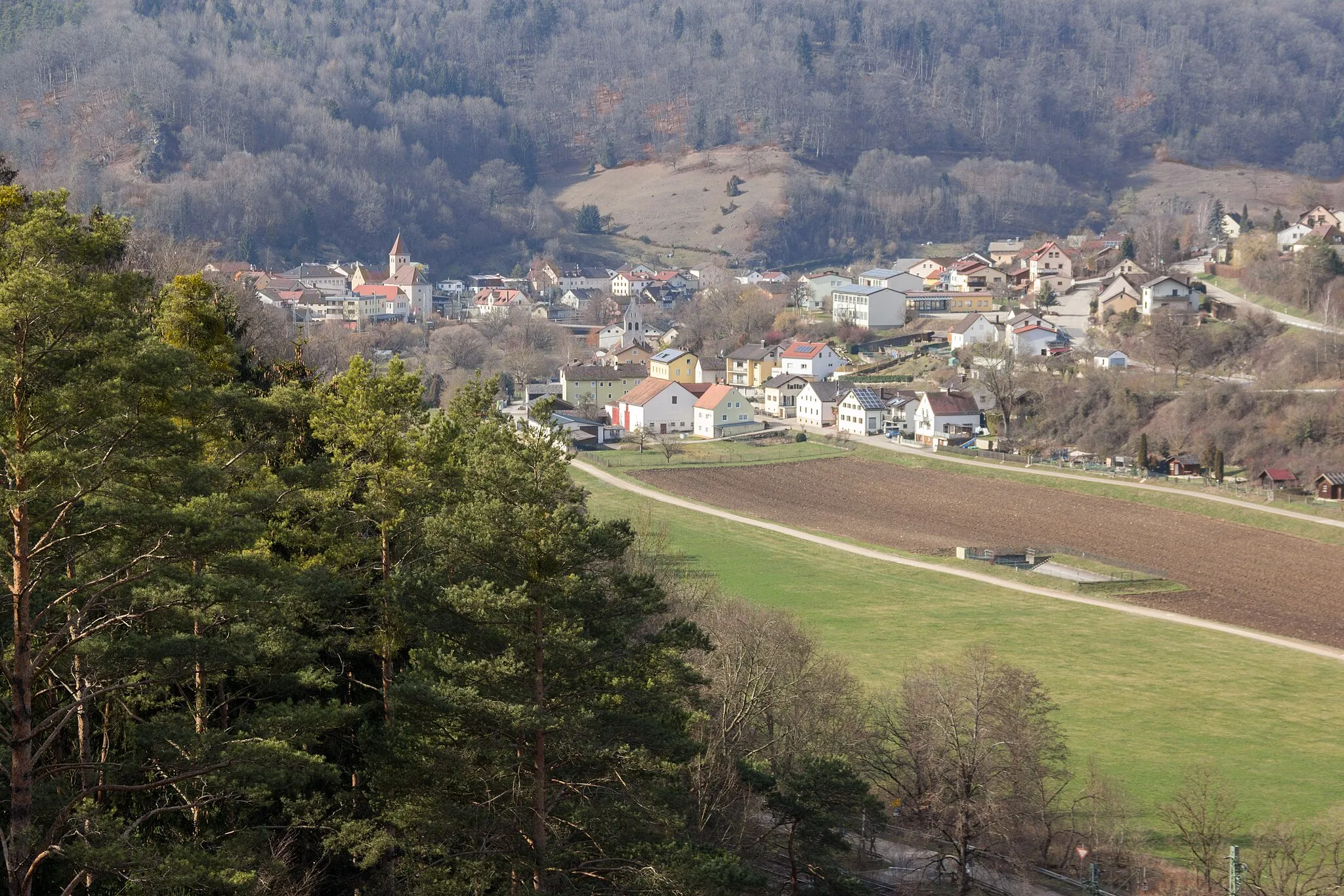
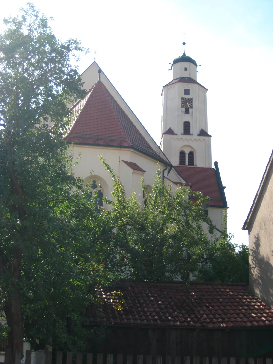
SteinackerHamletSteinacker is a charming little village known for its traditional half-timbered houses and peaceful atmosphere.
32 km
32 km
Gelber Berg628 mPeakGelber Berg, meaning 'Yellow Mountain,' got its name from its vibrant yellow wildflowers that bloom in the spring.
37 km
37 km
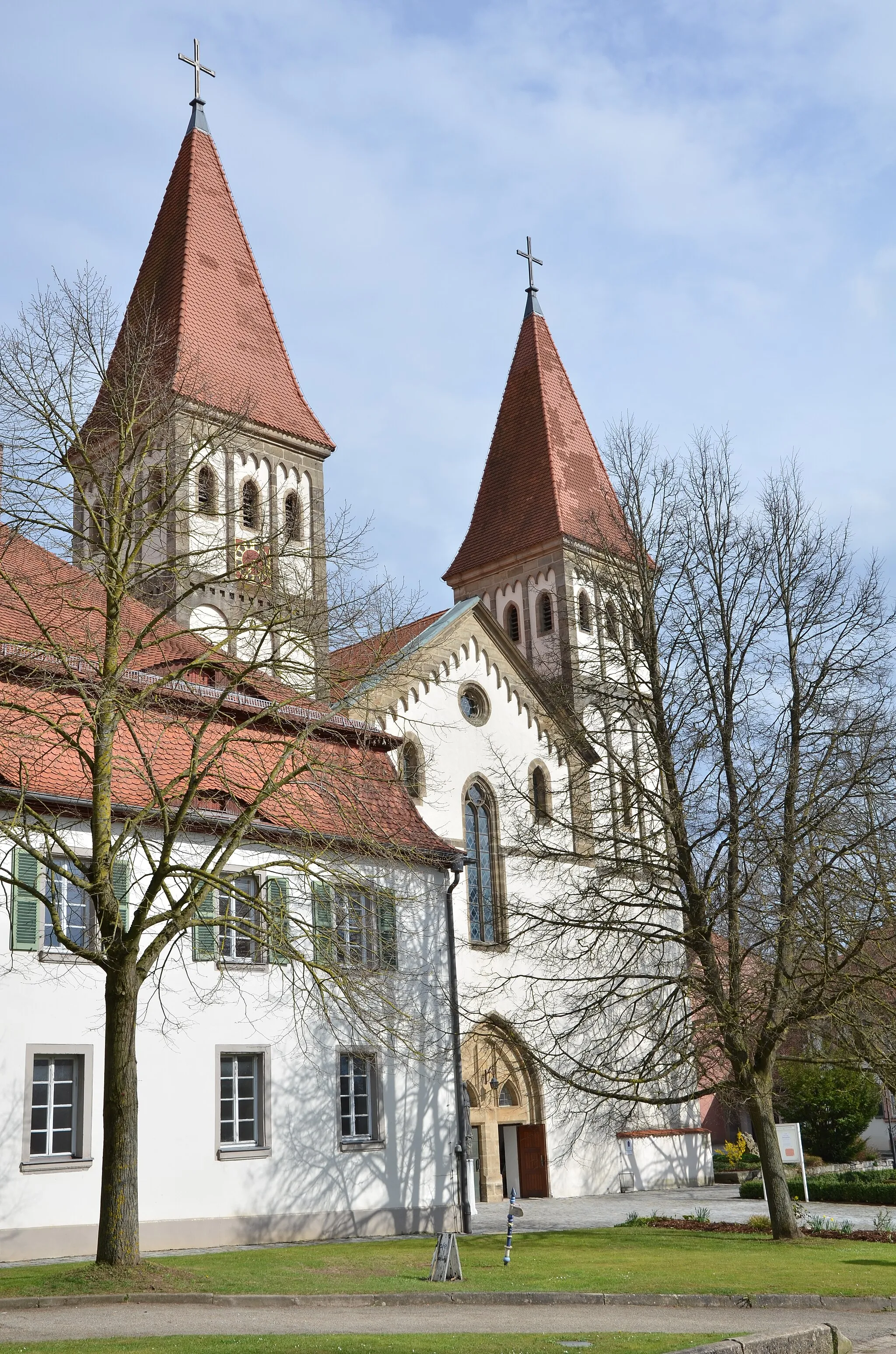
MeinheimVillageMeinheim is a quaint village with narrow streets, beautiful gardens, and traditional Franconian houses.
46 km
46 km
Patrichberg599 mPeakPatrichberg is a hilltop hamlet famous for its panoramic views of the Altmühl valley.
50 km
50 km
TreuchtlingenTownTreuchtlingen, as the starting and finishing point, offers various amenities for cyclists, from bike rentals to cozy cafes and restaurants.
50 km
50 km
Finish: Treuchtlingen City centerTreuchtlingen: Nature's paradise for cyclists in Treuchtlingen, Mittelfranken, Germany
Cycling routes from Treuchtlingen:
Nature and History in Mittelfranken Gravel Adventure in Mittelfranken Treuchtlingen Round Trip - Road Cycling Hidden Gems of Treuchtlingen Historical Tour of Treuchtlingen Treuchtlingen Round Trip - Gravel Cycling Hitchhiking through Langenaltheim Scenic Delights of Suffersheim Cycling Adventure in Schwaben Medieval Castles and Natural Beauty
Cycling routes nearby: