The Best of Niederbayern by Road
A road cycling route starting from Deggendorf
Cycle through the scenic landscapes of Niederbayern on this road route.
Map
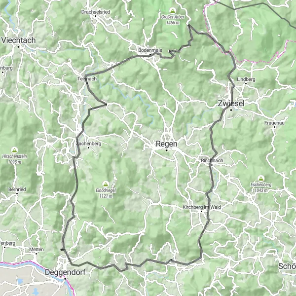
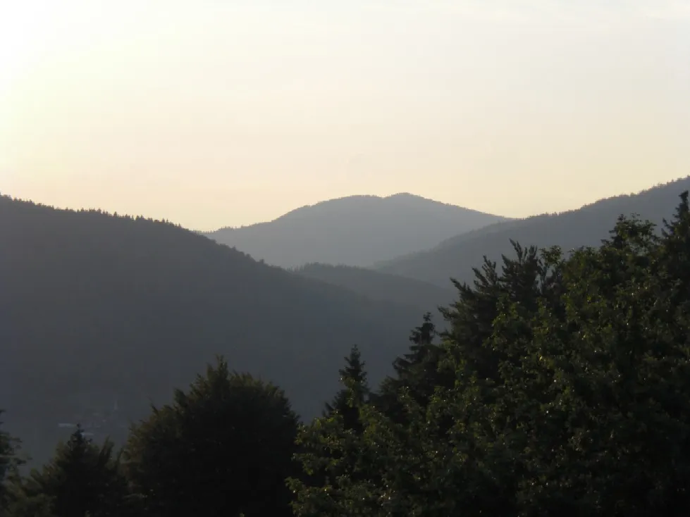
This road cycling route takes you through the beautiful landscapes of Niederbayern. With a total ascent of 2083m and a distance of 103km, this challenging route is suited for well-trained amateurs. The route passes through highlights such as Grafling, Teisnach, and Zwiesel providing amazing views and opportunities to explore the local attractions.
road
103 km
2083 m
Tough
Route profile
Highlights on the route
0 km
0 km
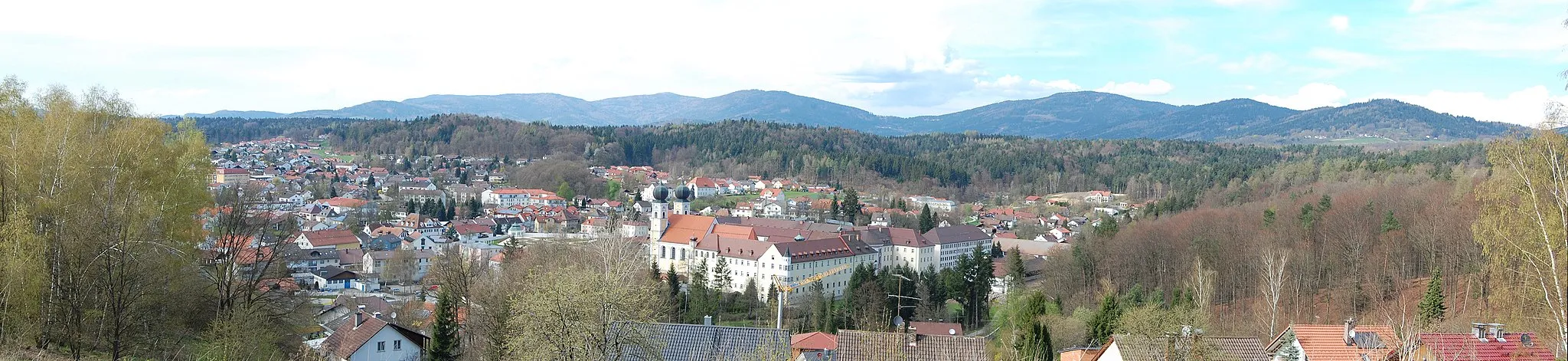
Start: Oberkandelbach Village centerDeggendorf: Cycling paradise in scenic Bavarian countryside.
Deggendorf is a locality in Niederbayern, Germany. From a cyclist's perspective, Deggendorf offers a mix of scenic routes through the Bavarian countryside and challenging climbs for the more experienced riders. One famous cycling spot near Deggendorf is the Großer Arber, a mountain known for its picturesque scenery and demanding ascents. With its well-maintained roads and dedicated cycling paths, Deggendorf is a great destination for road cyclists. Additionally, the region offers plenty of opportunities for gravel cycling, with numerous off-road trails in the surrounding countryside. Overall, Deggendorf provides a diverse and enjoyable cycling experience.5 km
5 km
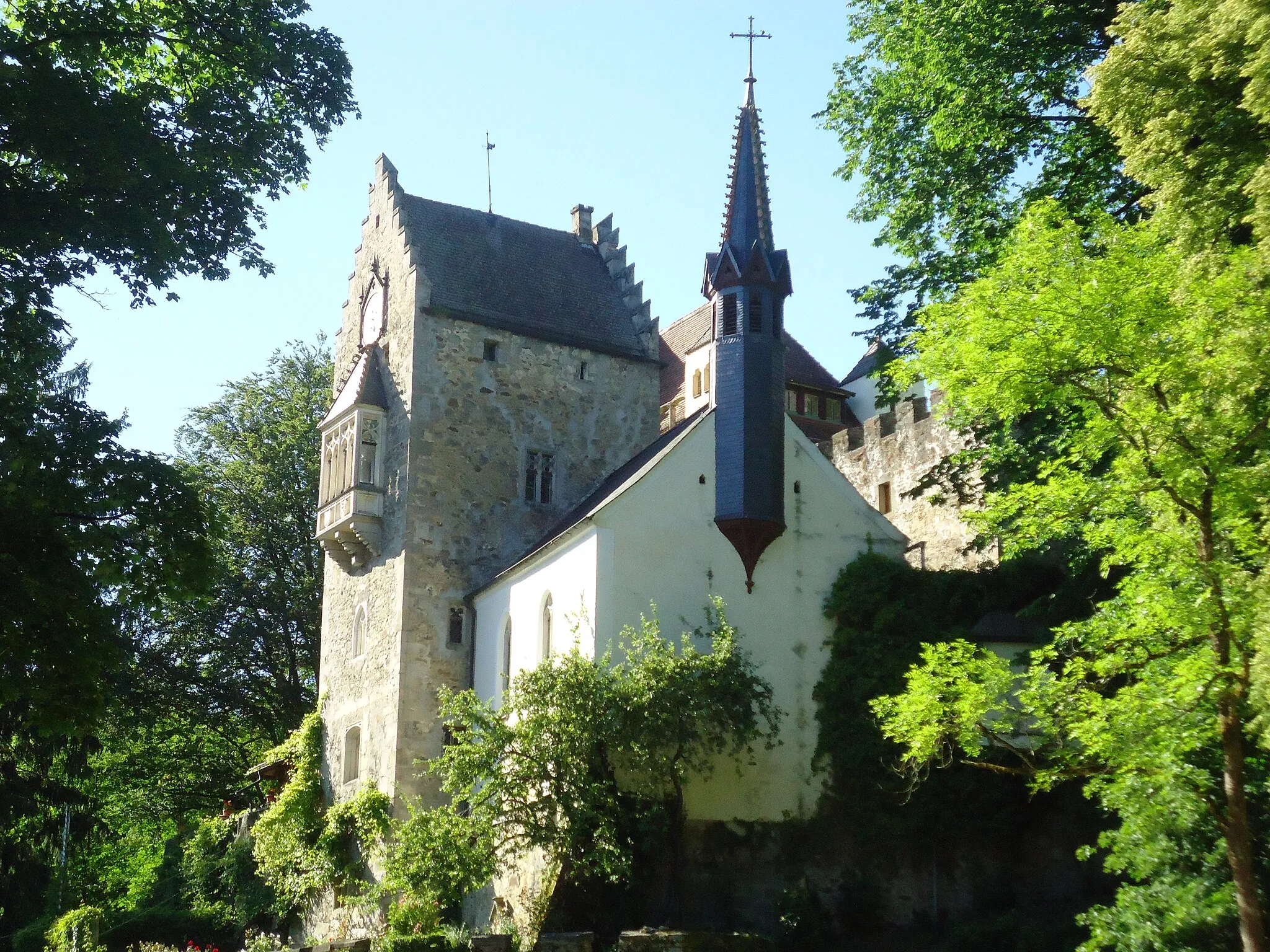
GraflingVillageStop by the idyllic town of Grafling and soak in its picturesque charm.
10 km
10 km
Hocheck727 mPeakExperience the stunning panoramic views from Hocheck summit.
26 km
26 km
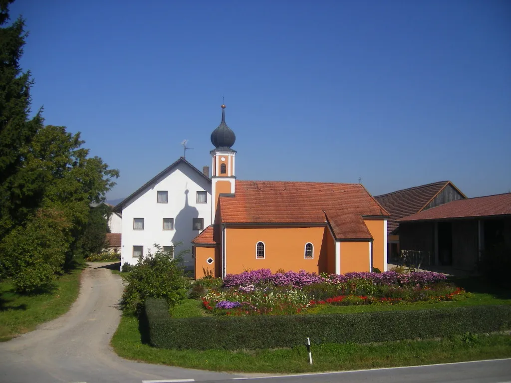
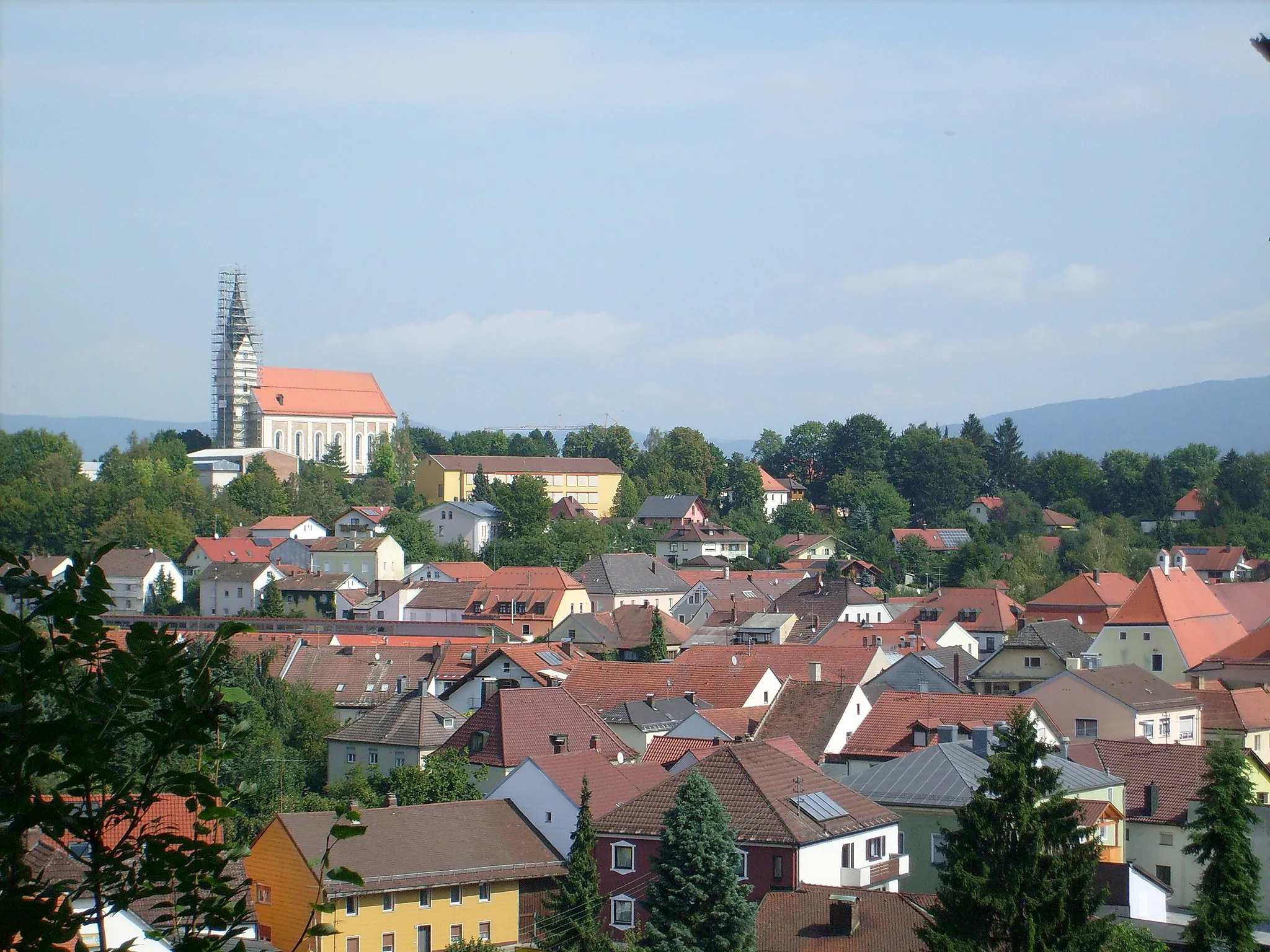
TeisnachVillageEnjoy the beauty of the Teisnach region, known for its rich natural landscapes.
32 km
32 km
Sternknöckel818 mPeakDiscover the unique geological formation of Sternknöckel.
40 km
40 km
Hochzellberg1208 mPeakMarvel at the scenic surroundings from the top of Hochzellberg.
54 km
54 km
LudwigsthalVillagePass through Ludwigsthal and immerse yourself in its tranquil atmosphere.
61 km
61 km
Ausblick ZwieselViewpointRelish the spectacular views of Zwiesel from the lookout point.
68 km
68 km
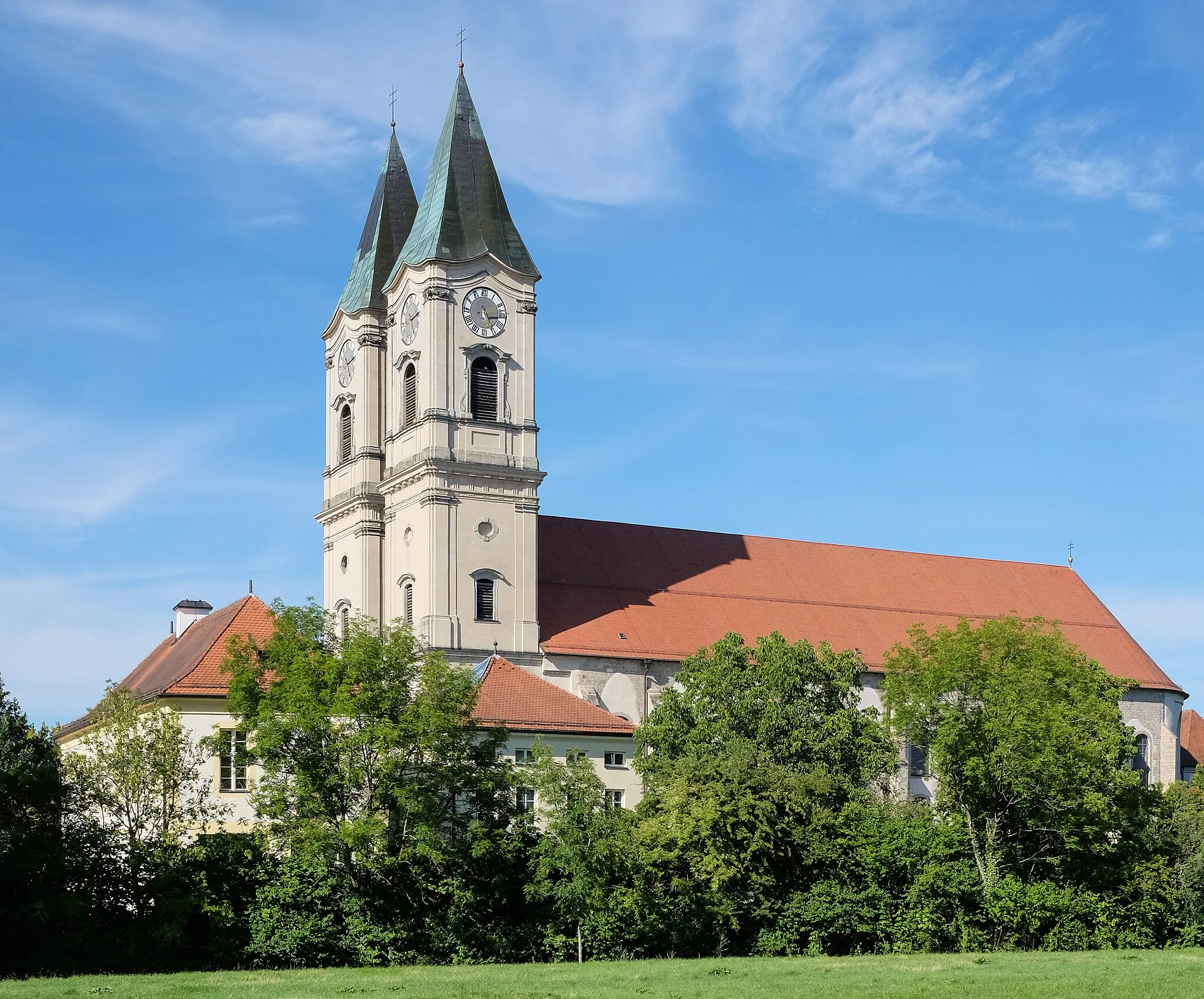
RinchnachVillageExplore the charming town of Rinchnach and appreciate its architectural heritage.
79 km
79 km
Hangenleithner Hügel808 mPeakRide through Hangenleithner Hügel and enjoy the gentle slopes.
92 km
92 km
SchauflingVillageTake a break in Schaufling and admire the countryside vistas.
101 km
101 km
Geißberg388 mPeakClimb the Geißberg for breathtaking views of the surrounding landscapes.
103 km
103 km
Finish: Oberkandelbach Village centerDeggendorf: Cycling paradise in scenic Bavarian countryside.
Cycling routes from Deggendorf:
Deggendorf-Plattling Loop Gravel Tour Exploring Niederbayern's Countryside Geiersberg Loop Scenic Journey through Historic Niederbayern The Best of Niederbayern by Road Bernried Loop Metten-Kloster Church Loop Fischerdorf Loop Gravel Adventure in Niederbayern Road Tour in the Heart of Niederbayern Bavarian Forest Adventure The Bohemian Forest Loop
Cycling routes nearby: