Ergoldsbach Gravel Adventure
A gravel cycling route starting from Ergoldsbach
An adventurous gravel route starting in Ergoldsbach
Map
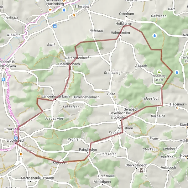
The Ergoldsbach Gravel Adventure is a thrilling cycling route that takes you through scenic gravel paths and off-road terrain. With a total distance of 35 kilometers and an ascent of 448 meters, this route offers a challenging experience for gravel cyclists. The highlight of this route is Ergoldsbach, a charming town that serves as the starting point for this adventure. Other highlights along the route include Oberellenbach, Brunnberg, Paindlkofen, and Kapellenberg/Lourdes-Kapelle, each offering unique sights and experiences. Overall, this route is perfect for gravel enthusiasts looking for an exciting cycling journey.
gravel
35 km
448 m
Tough
Route profile
Highlights on the route
0 km
0 km
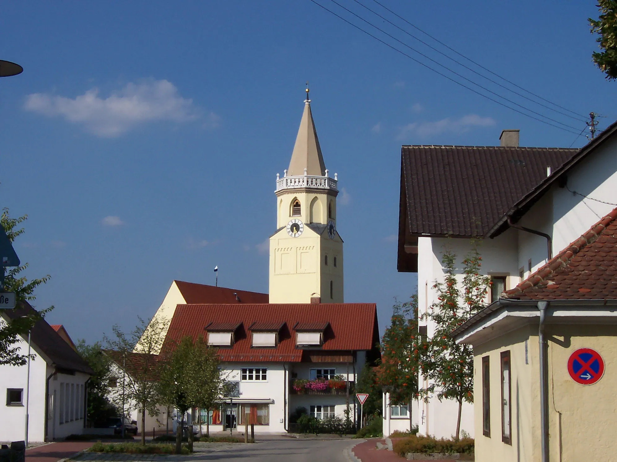
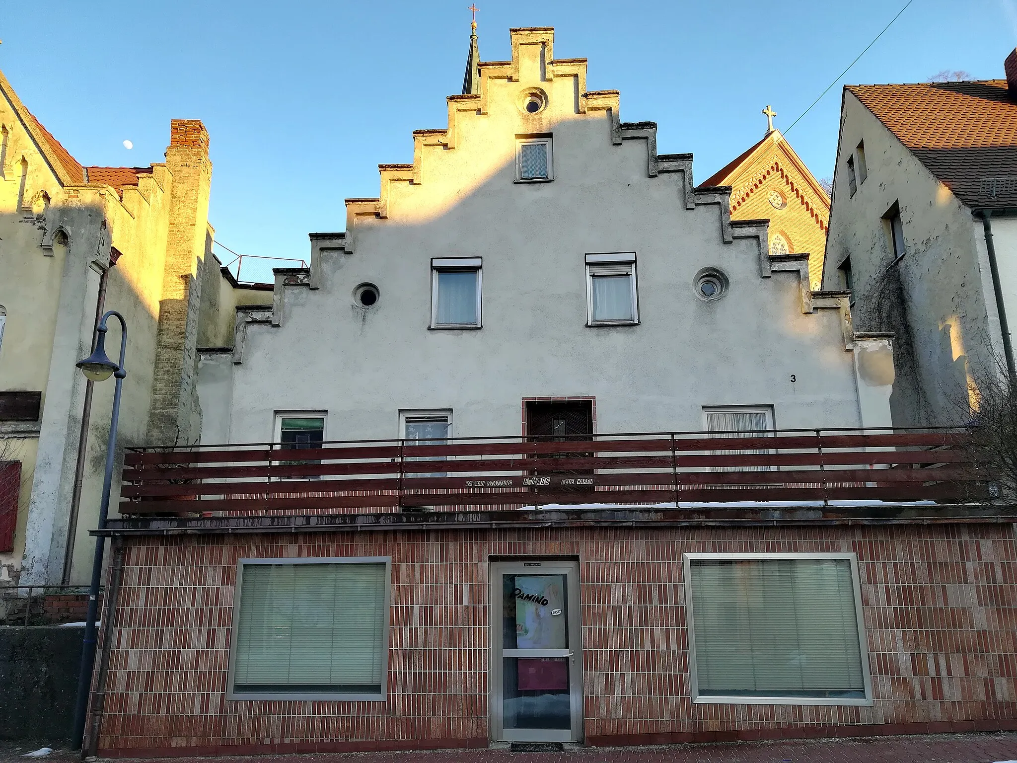
Start: Ergoldsbach Village centerErgoldsbach: Scenic cycling in the Bavarian countryside of Ergoldsbach
Ergoldsbach is a charming town located in the Niederbayern region of Germany. From a cyclist's perspective, Ergoldsbach offers a mix of road and gravel cycling routes through the scenic Bavarian countryside. The nearby Isar River provides opportunities for waterside cycling, while the surrounding forests and rolling hills offer pleasant and challenging terrains for mountain biking. Notable cycling spots nearby include the Danube Cycle Path and the Regental-Radweg. With its picturesque landscapes and well-maintained cycling paths, Ergoldsbach is a great destination for road and gravel cyclists alike.0 km
0 km
ErgoldsbachVillageErgoldsbach is a quaint town that serves as the starting point for this gravel adventure.
8 km
8 km
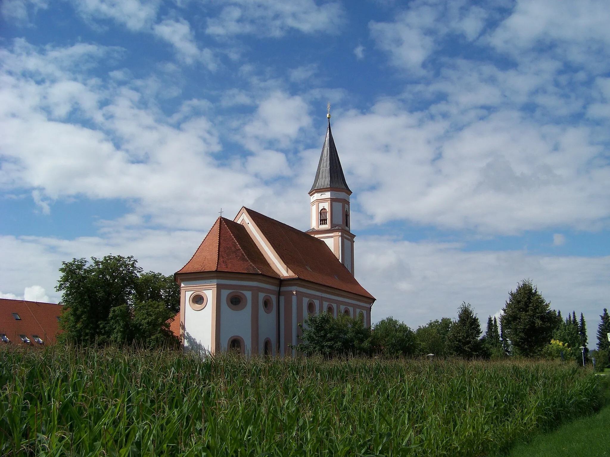
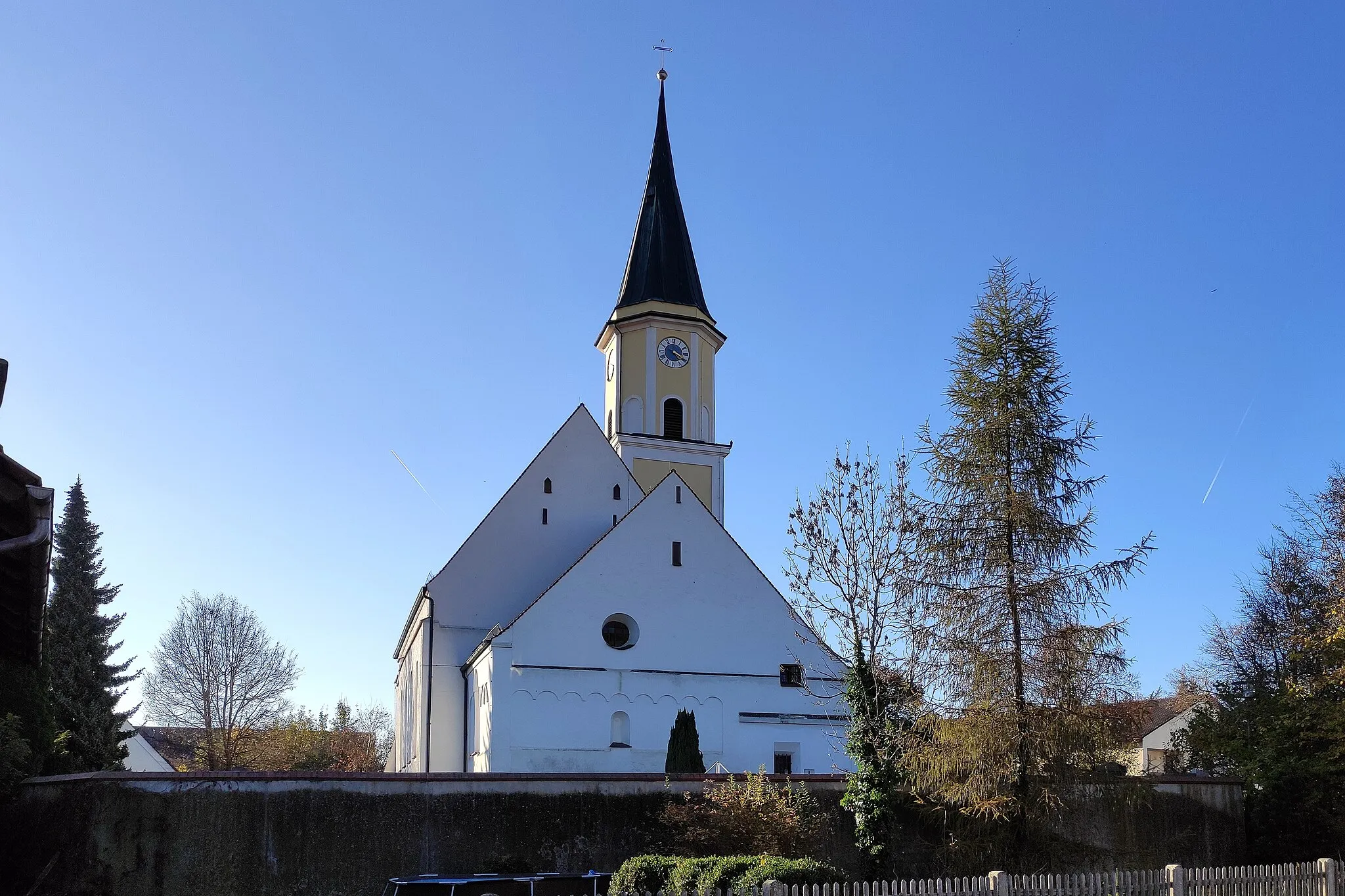
OberellenbachVillageOberellenbach offers beautiful views of the surrounding countryside and is worth a stop.
19 km
19 km
Brunnberg461 mPeakBrunnberg is a scenic spot with peaceful surroundings.
29 km
29 km
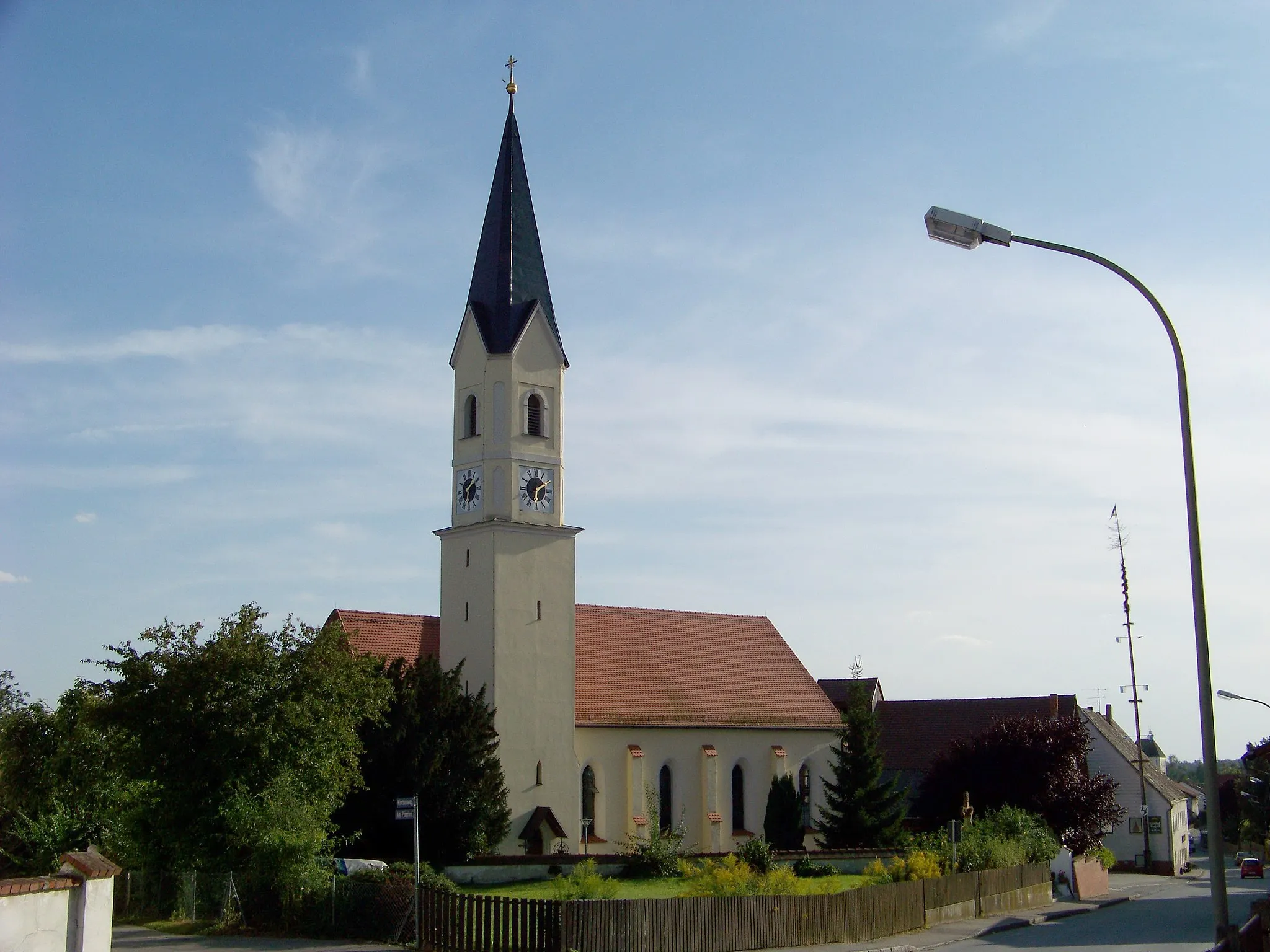
PaindlkofenVillagePaindlkofen offers breathtaking views of the landscape and is a great spot to take a break.
35 km
35 km
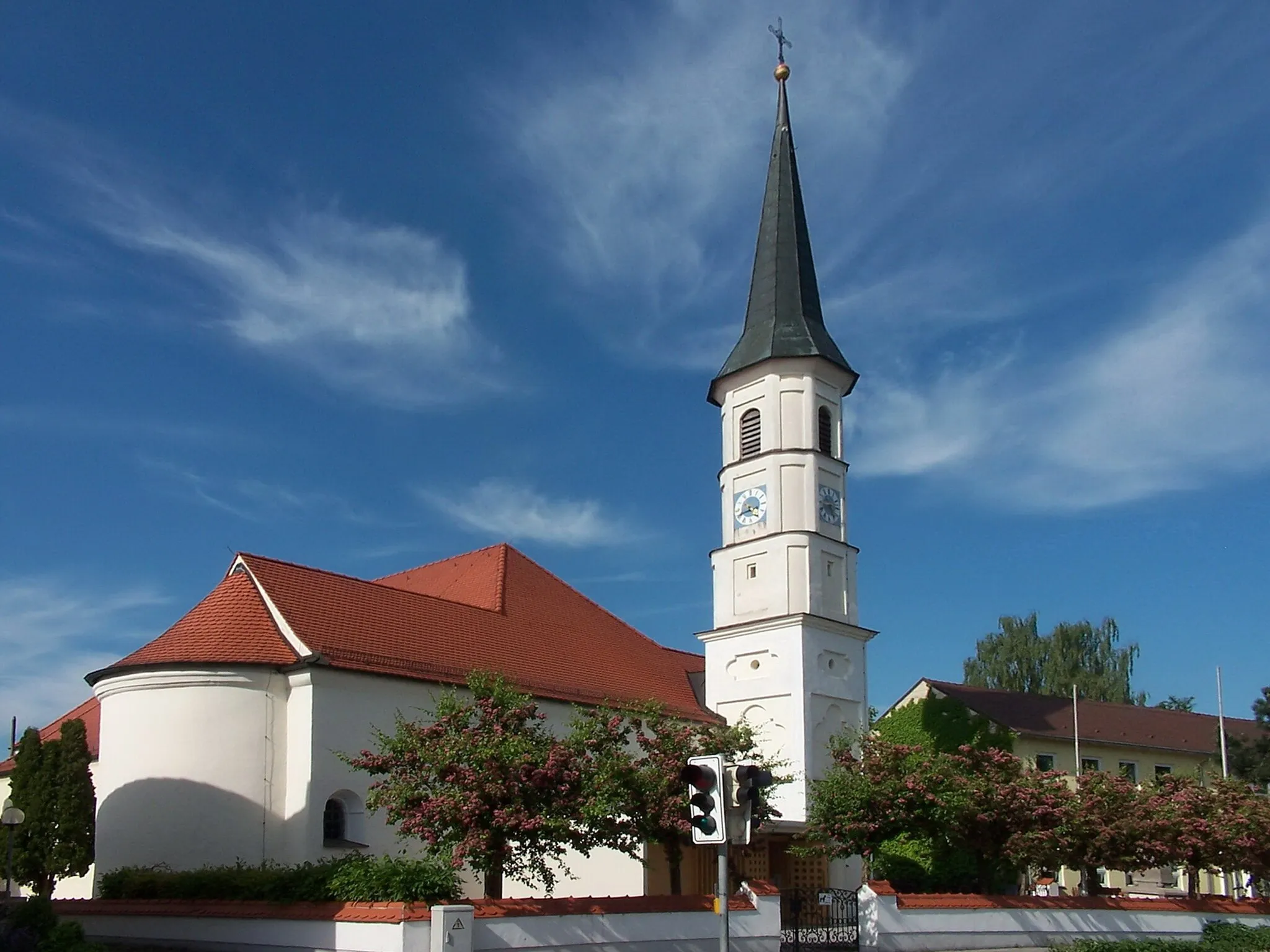
Kapellenberg/Lourdes-Kapelle462 mPeakKapellenberg/Lourdes-Kapelle is a stunning viewpoint that offers panoramic vistas and a religious site to explore.
35 km
35 km
Finish: Ergoldsbach Village centerErgoldsbach: Scenic cycling in the Bavarian countryside of Ergoldsbach
Cycling routes nearby: