Ering Discovery
A road cycling route starting from Ering
Explore the scenic surroundings and charming villages near Ering on this relatively easy road cycling route.
Map
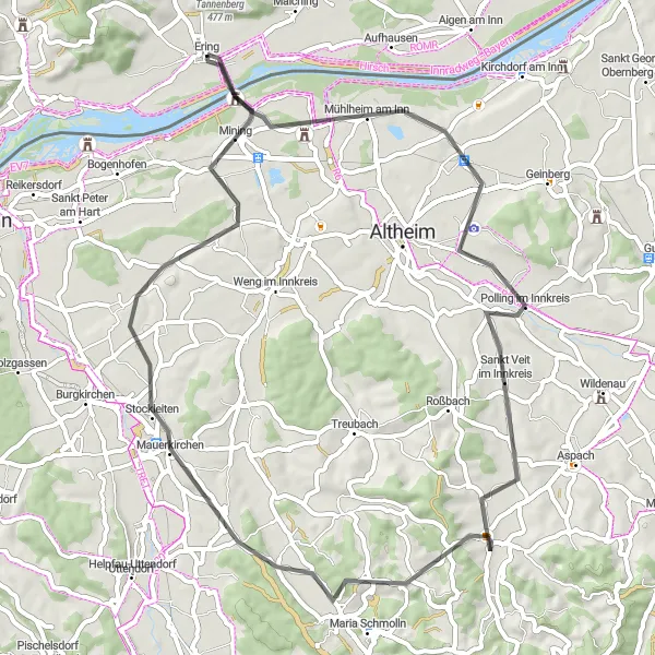
The Ering Discovery is a relatively easy road cycling route that takes you through the scenic surroundings and charming villages near Ering, Germany. With a distance of 56 kilometers and an elevation gain of 404 meters, this route is suitable for well-trained amateur cyclists looking for a more relaxed ride. The highlights along the way include Ering, Mühlheim am Inn, Höhnhart, Mauerkirchen, and Alberting. These highlights offer picturesque landscapes, quaint village charm, and opportunities to discover local culture. Overall, this route provides a pleasant cycling experience with beautiful scenery and cultural attractions.
road
56 km
404 m
Chill
Route profile
Highlights on the route
0 km
0 km
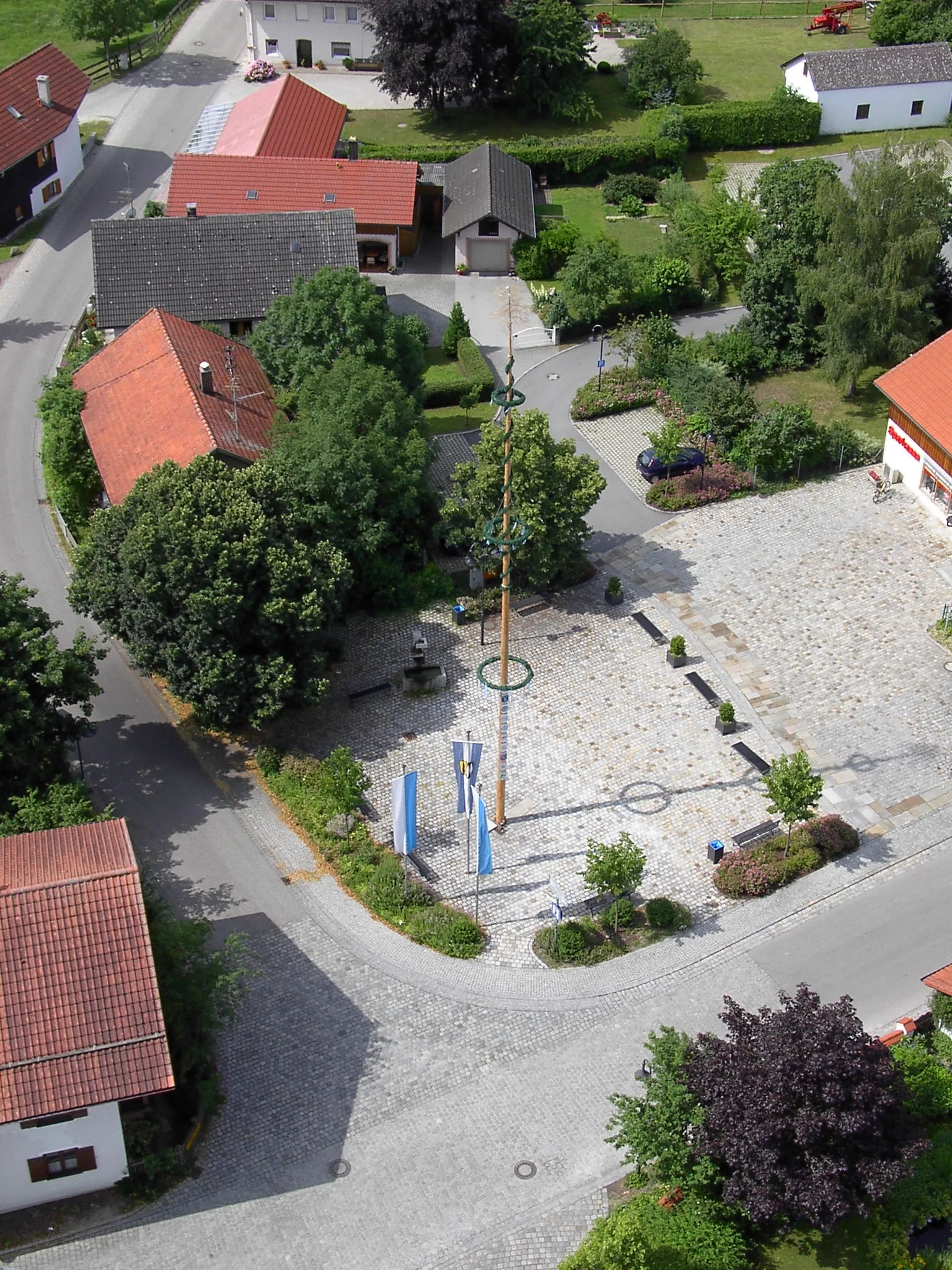
Start: Ering Village centerEring: Tranquil cycling destination in Niederbayern with scenic routes along the Inn River.
Ering, nestled in the Niederbayern region of Germany, is an ideal locality for road and gravel cyclists seeking tranquility and natural beauty. Cyclists can explore the idyllic countryside, ride along peaceful roads, and admire the stunning views of the Inn River. Ering is a gateway to the nature reserve of Unterer Inn, which offers diverse cycling trails amidst the scenic river landscape. While not featuring any particularly famous climbs, the area provides a charming and rewarding cycling experience. With its serene ambience and picturesque routes, Ering is a hidden gem for cyclists looking to connect with nature and indulge in a peaceful ride.0 km
0 km
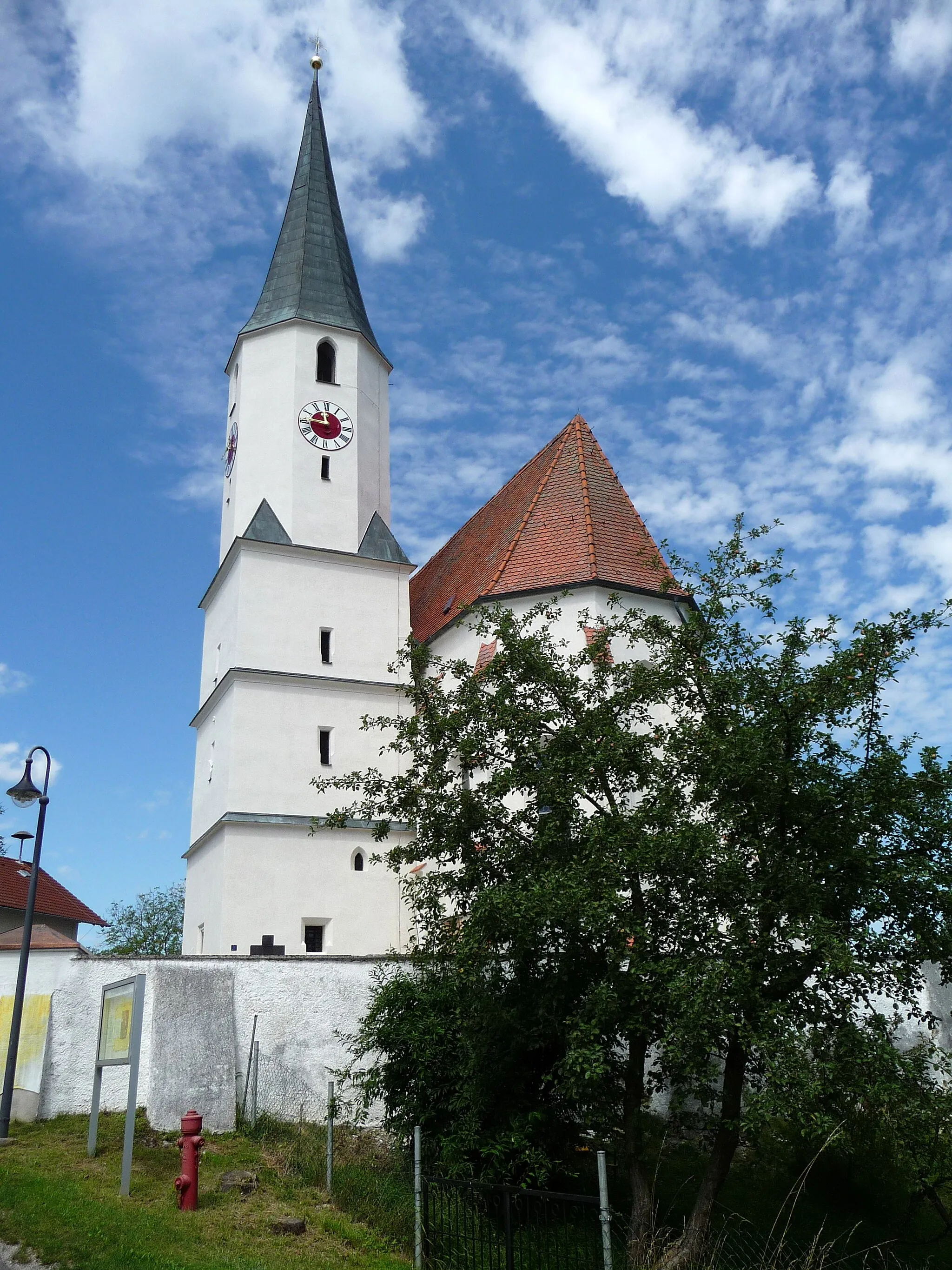
EringVillageStart your journey in the picturesque village of Ering, famous for its traditional Bavarian charm.
6 km
6 km
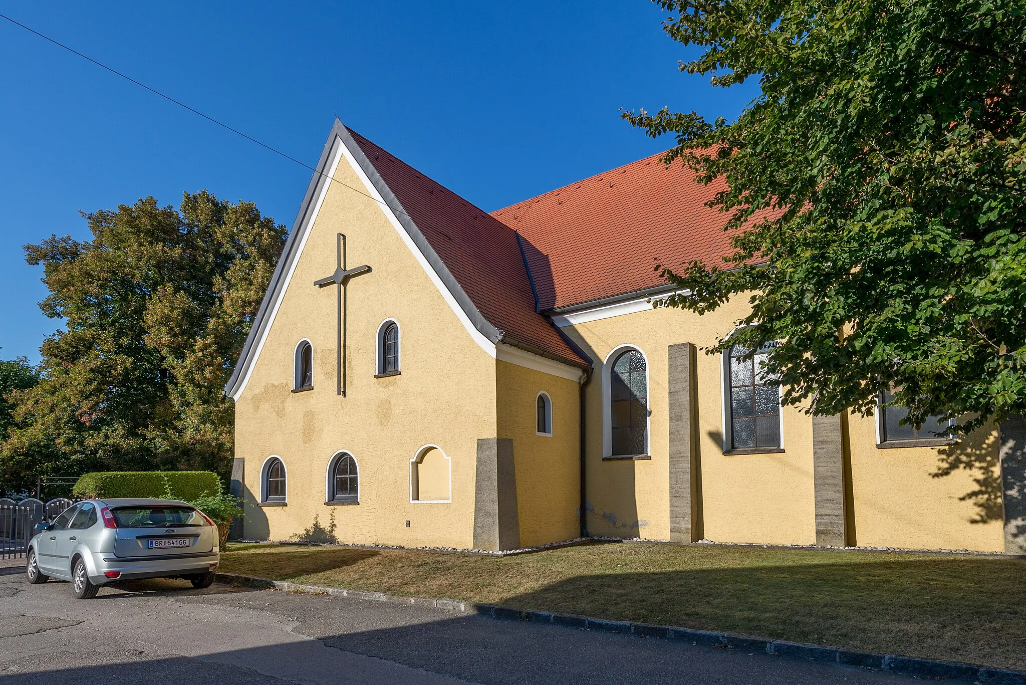
Mühlheim am InnVillageExplore Mühlheim am Inn, a charming village with a scenic riverside location.
25 km
25 km
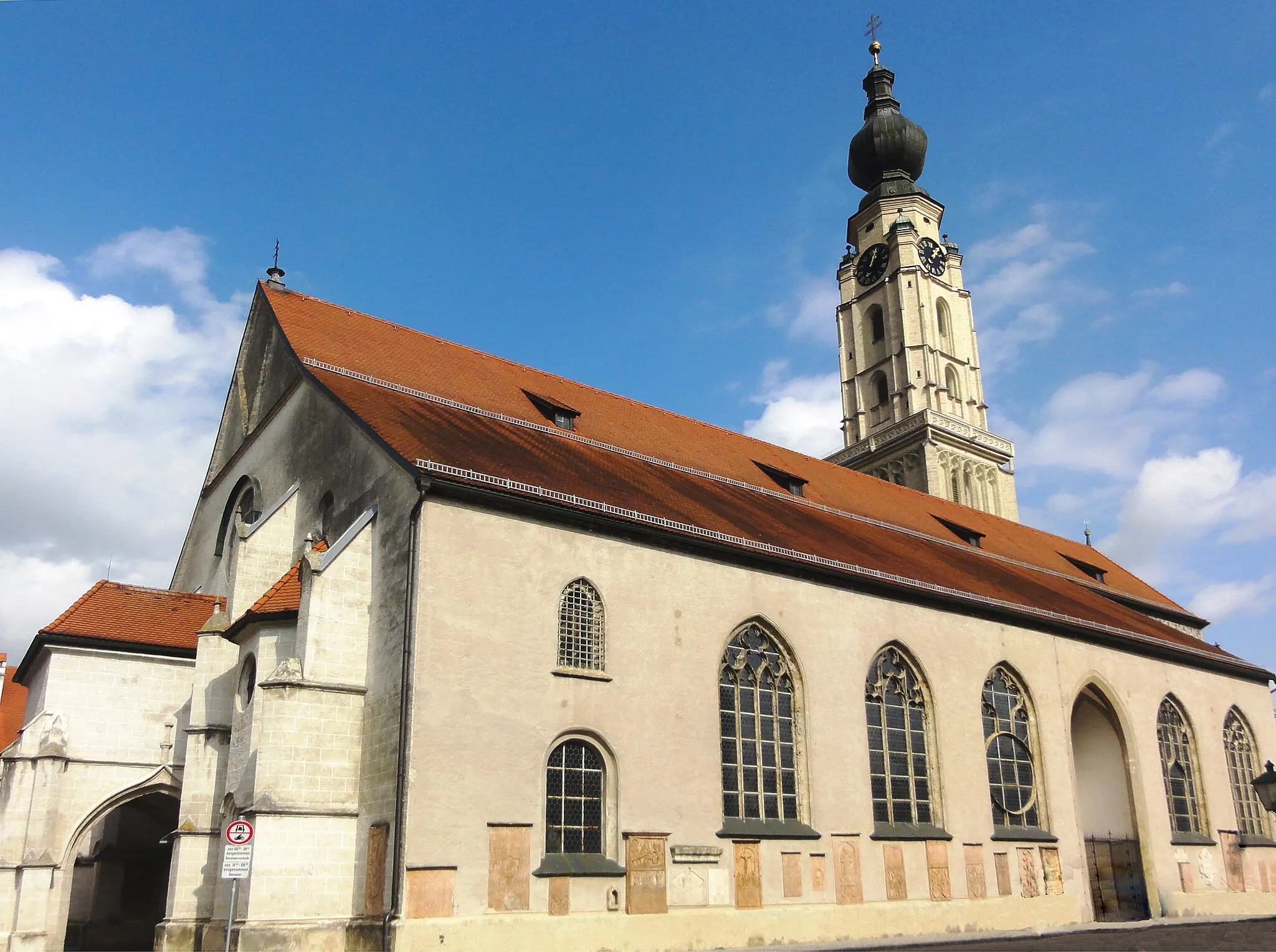
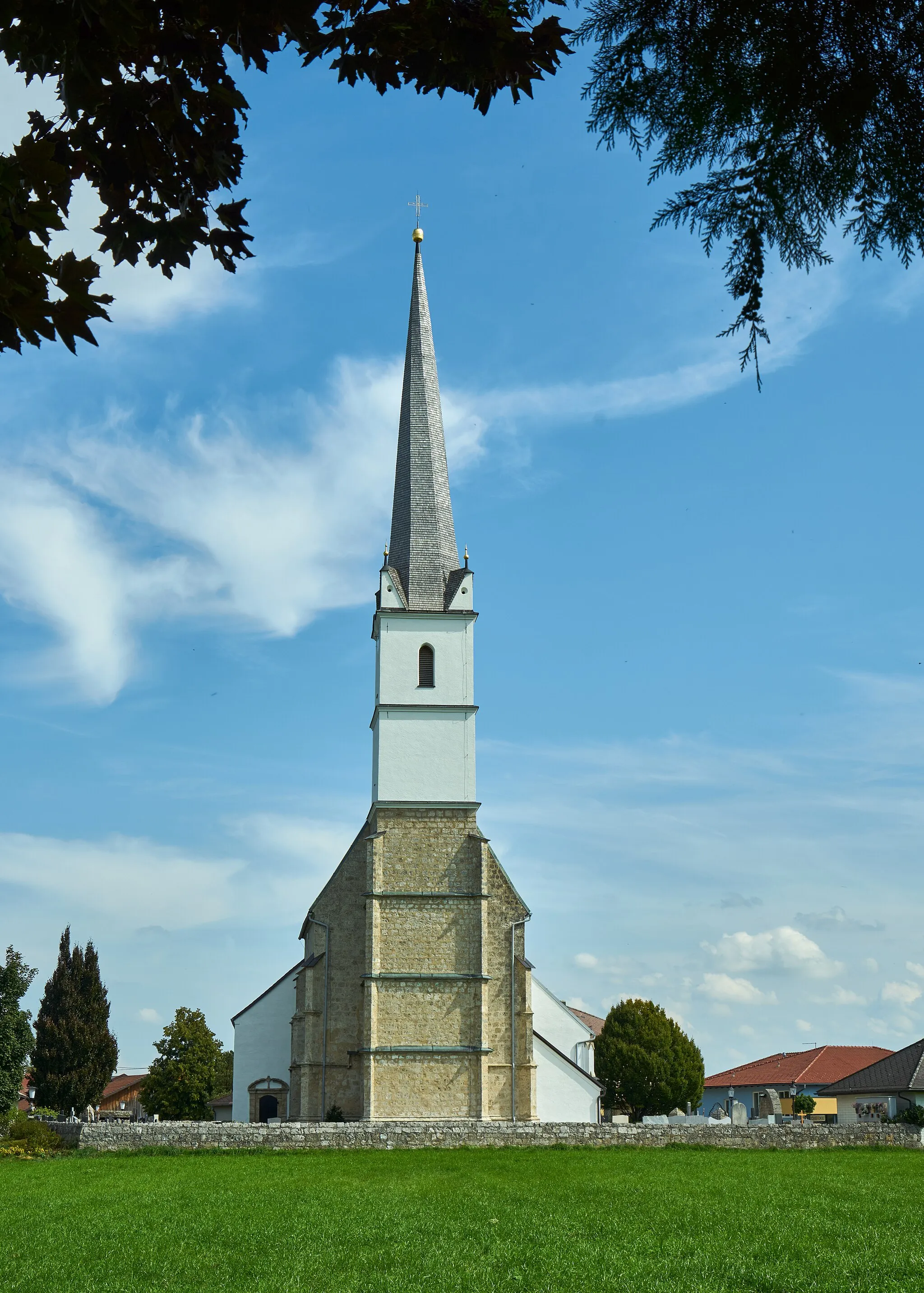
HöhnhartHamletDiscover the tranquil beauty of Höhnhart and its surrounding countryside.
40 km
40 km
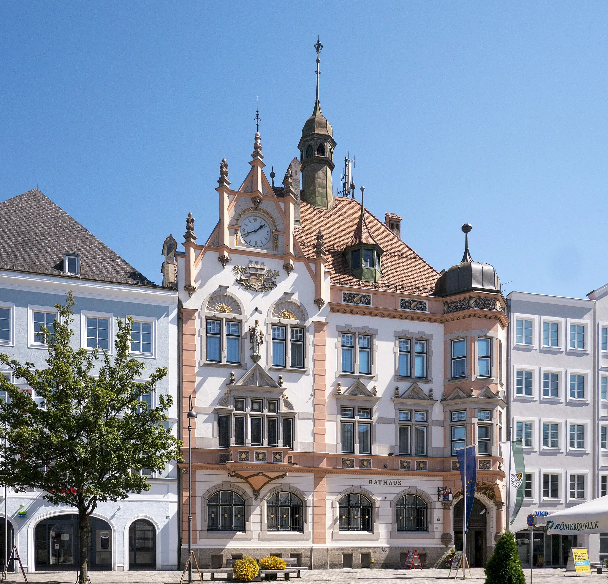
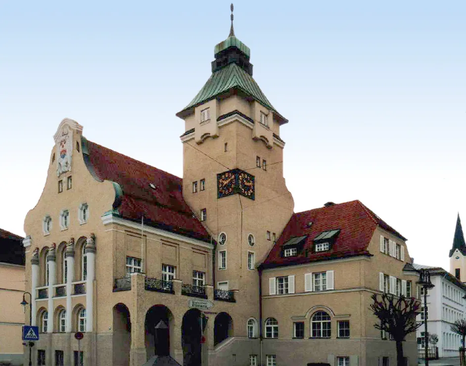
MauerkirchenVillageVisit Mauerkirchen, a historic town known for its medieval architecture and cultural heritage.
51 km
51 km
AlbertingHamletExplore Alberting and its rolling hills that provide scenic views of the Bavarian countryside.
56 km
56 km
Finish: Ering Village centerEring: Tranquil cycling destination in Niederbayern with scenic routes along the Inn River.
Cycling routes nearby: