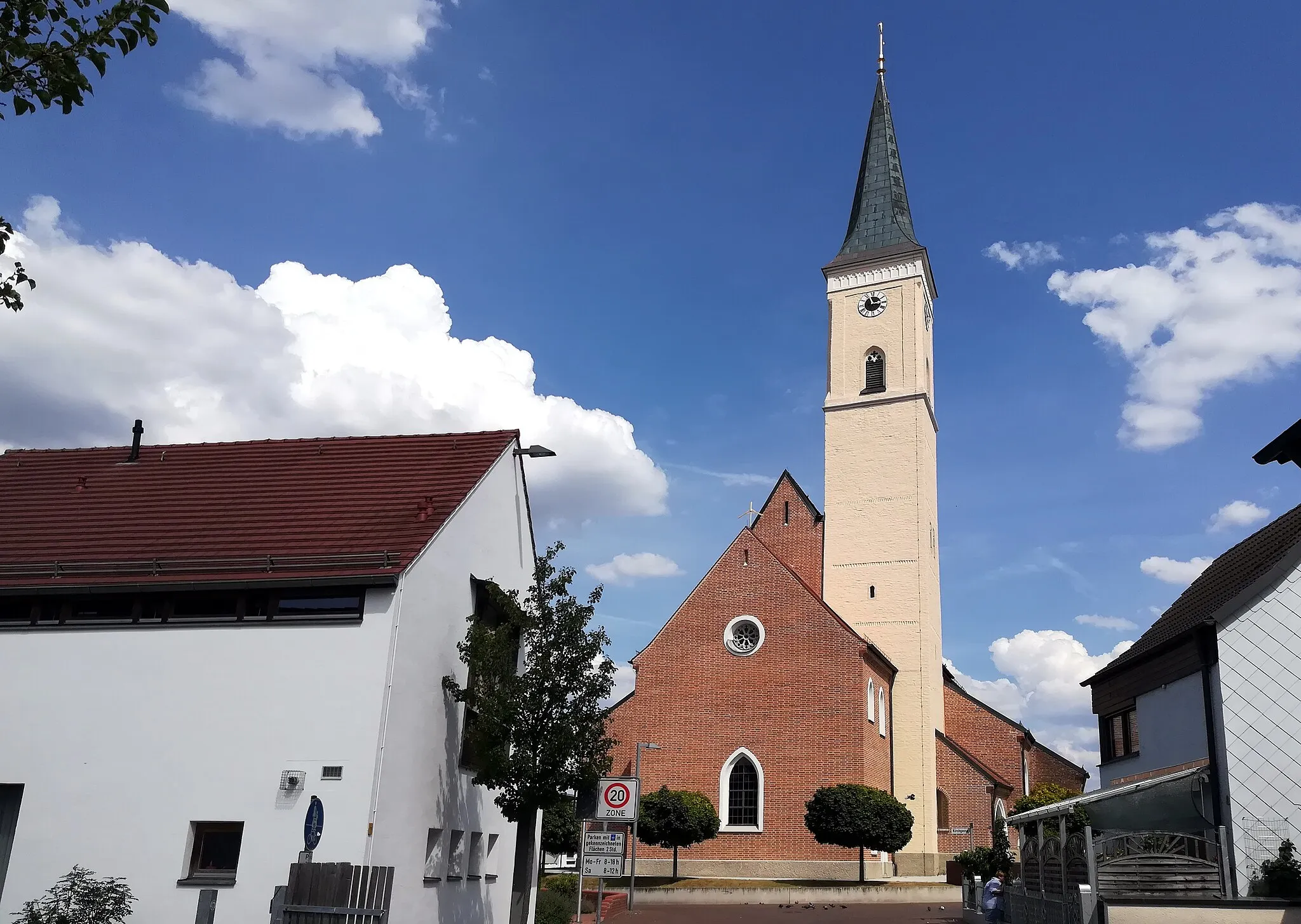
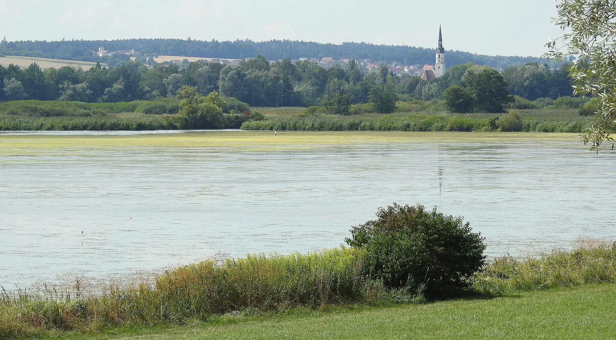
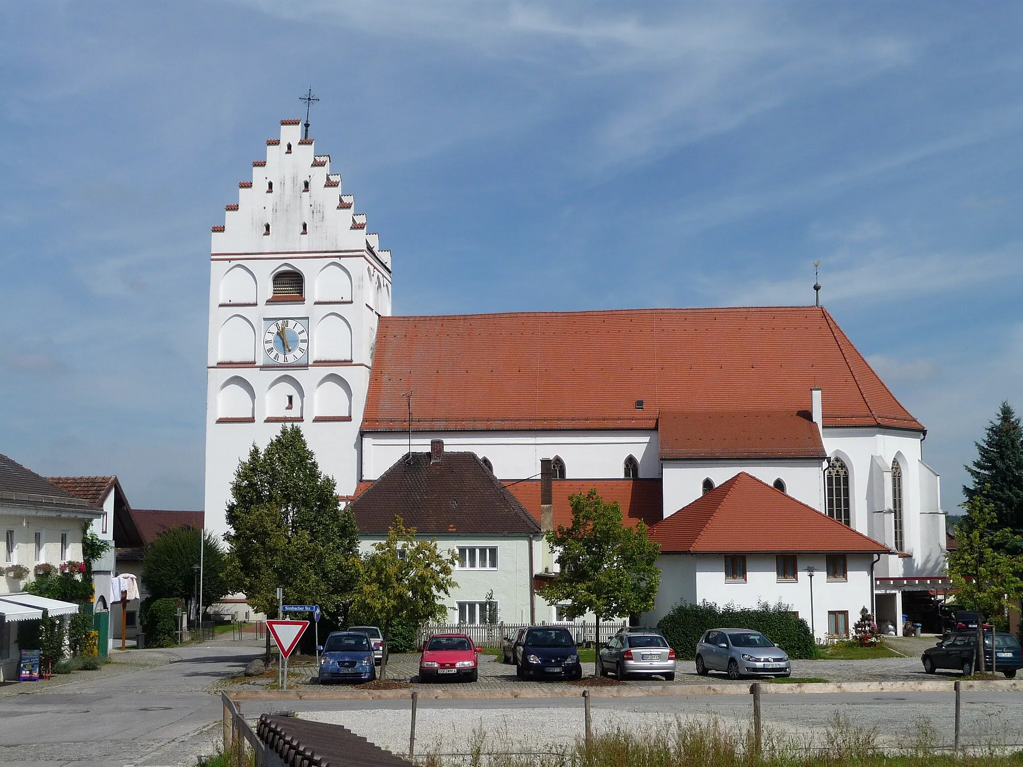
Tranquil countryside cycling in Frontenhausen, Niederbayern
Cycling routes from Frontenhausen
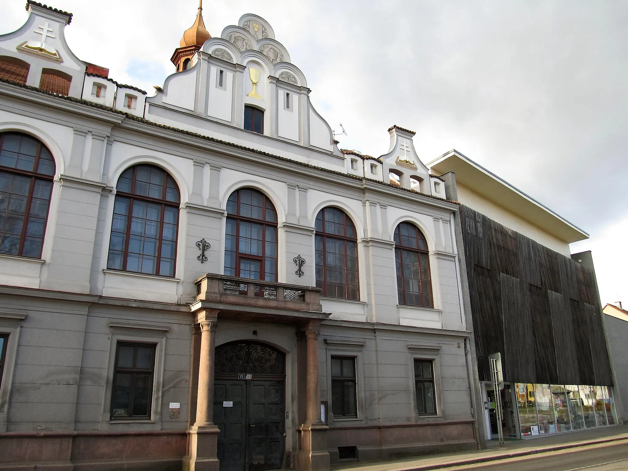
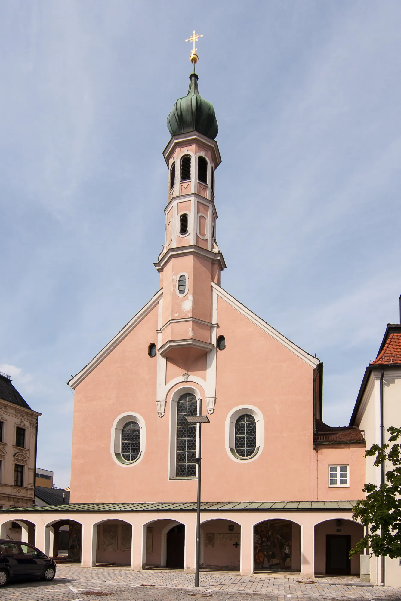
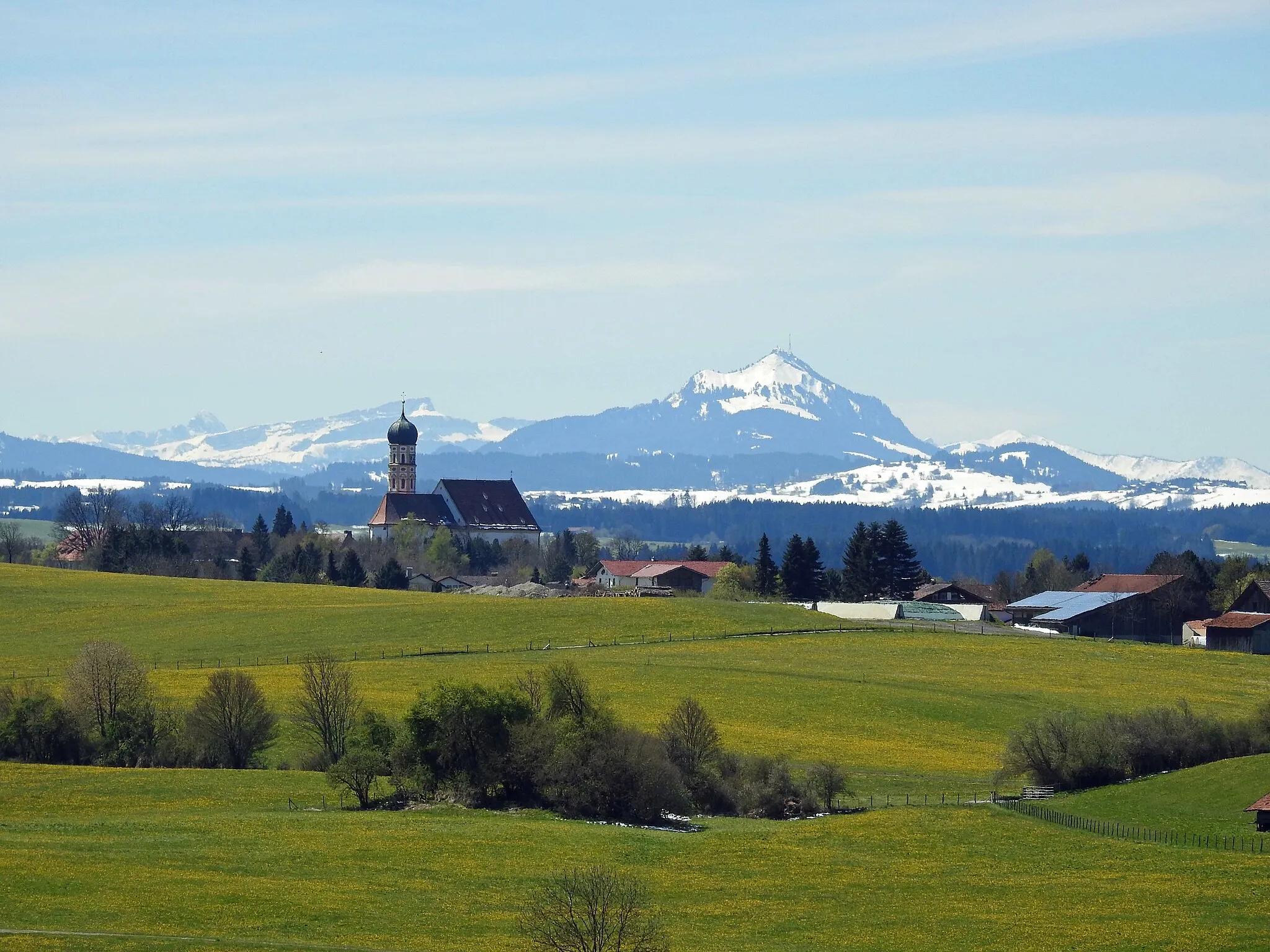
Frontenhausen, located in Niederbayern, Germany, provides a cycling-friendly environment with its well-paved roads and picturesque surroundings. The region offers a mix of flat and hilly terrains, accommodating various cycling preferences. Cyclists can explore charming villages and enjoy scenic routes passing through farmlands and forests. While there are no legendary climbs or famous cycling spots nearby, Frontenhausen compensates with its peaceful atmosphere and scenic countryside. It is an ideal location for leisurely rides and exploring the beauty of Niederbayern.
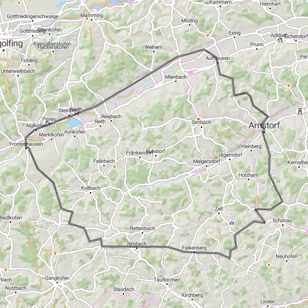
Thrilling road cycling adventure from Reichersdorf to Falkenberg
Embark on a 74 km road cycling adventure through the picturesque landscapes between Reichersdorf and Falkenberg. With 780 meters of ascent, this route offers challenging climbs and exhilarating descents, making it a favorite among avid cyclists. Immerse yourself in the stunning natural beauty of the region as you pedal through idyllic towns and rolling hills.
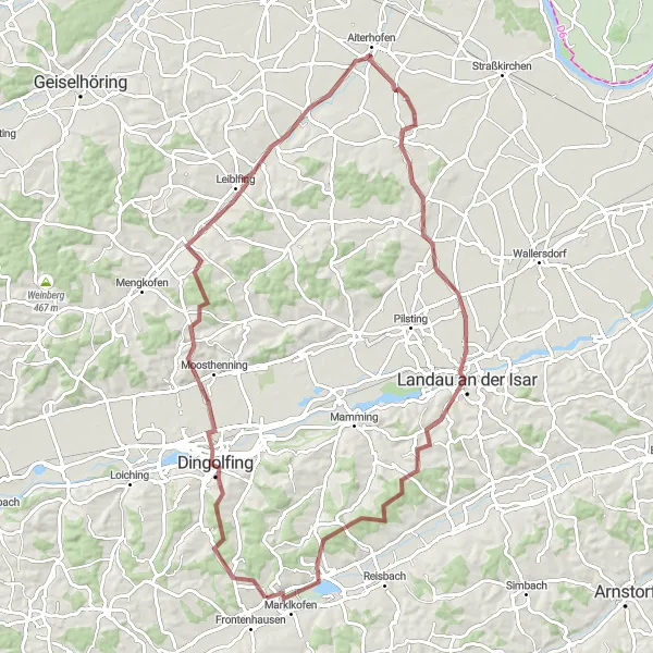
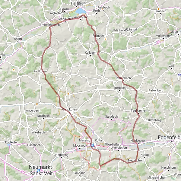
A thrilling gravel cycling route through Hüttenkofen
The Gravel Adventure: Hüttenkofen Loop is an exciting gravel cycling route that takes you on a thrilling off-road journey through the Hüttenkofen area. With a total distance of 86 kilometers and an ascent of 732 meters, this route offers a challenging and adventurous experience for gravel enthusiasts. The highlights of this route include Dingolfing, a historic town with beautiful architecture, and Landau an der Isar, a charming town located along the picturesque Isar River. Overall, the Gravel Adventure: Hüttenkofen Loop is a must-try route for cyclists looking for an off-road adventure in Niederbayern.
A challenging road cycling route to Reisbach
The Reisbach Challenge is a challenging road cycling route that takes you to the beautiful town of Reisbach. With a total distance of 84 kilometers and an ascent of 829 meters, this route offers a thrilling experience for cyclists. The highlights of this route include Reisbach, a charming town with historic buildings and cultural attractions, and Hebertsfelden, a peaceful village located along the route. Overall, the Reisbach Challenge is a great option for cyclists looking to test their skills and explore the beauty of the region.
Simbach Road Adventure
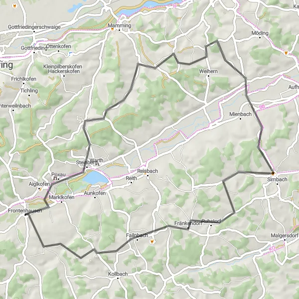
An adventurous road cycling route to Simbach
The Simbach Road Adventure is a thrilling road cycling route that takes you on a scenic journey from Frontenhausen to Simbach. With a total distance of 54 kilometers and an ascent of 638 meters, this route offers a challenging yet exciting experience for cyclists. The highlights of this route include Poxau, a small village with traditional Bavarian architecture, and Moospoint, a picturesque village with stunning natural surroundings. Overall, the Simbach Road Adventure is a great option for cyclists looking to challenge themselves and explore the beauty of the region.
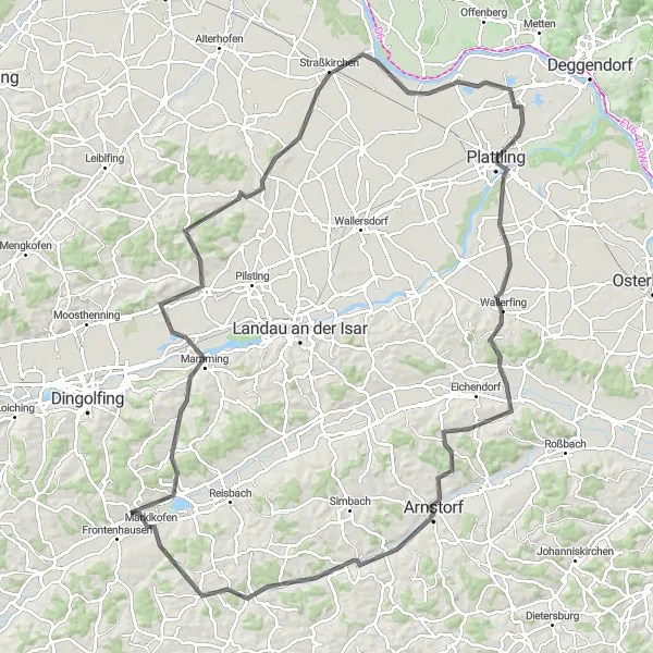
A road cycling adventure through quaint Bavarian towns
Embark on a 121 km road cycling adventure from Mamming to Plattling and immerse yourself in the beauty of Bavarian countryside. This route offers a mix of scenic views, challenging climbs, and cultural highlights along the way. Experience the charm and tranquility of small Bavarian towns, known for their warm hospitality and vibrant traditions.
Landau an der Isar Gravel Ride
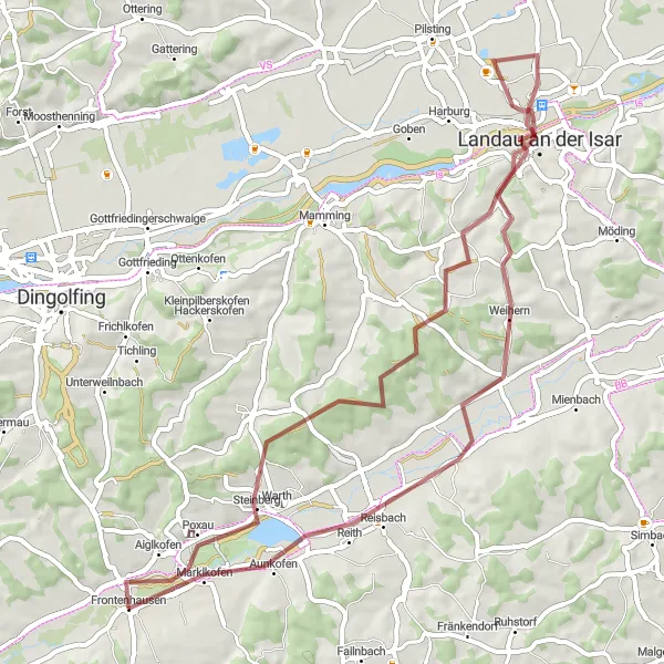
Uncover the beauty of Landau an der Isar on a gravel adventure
Saddle up for a 55 km gravel adventure starting from Frontenhausen and winding through the scenic landscapes around Landau an der Isar. This ride features 443 meters of ascent, taking cyclists through quaint villages with beautiful architecture and stunning natural surroundings. Immerse yourself in the beauty of the Bavarian countryside on this exhilarating gravel route.
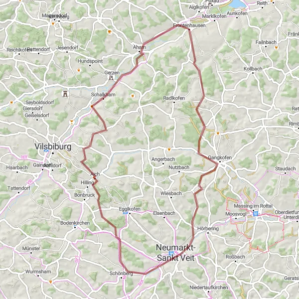
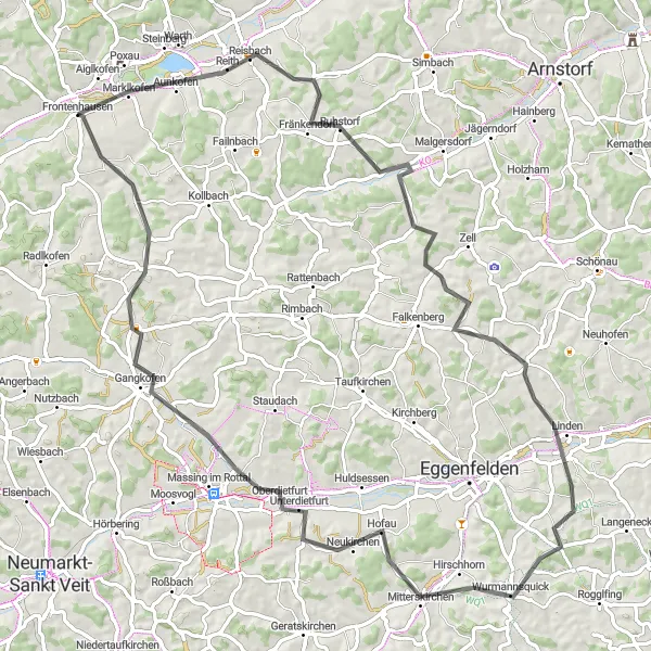
An adventurous gravel cycling route to Aham
The Aham Gravel Adventure is a thrilling gravel cycling route that takes you on an off-road journey to the charming village of Aham. With a total distance of 65 kilometers and an ascent of 508 meters, this route offers an exciting experience for gravel enthusiasts. The highlights of this route include Gangkofen, a vibrant town with a rich history, and Schönberg, a picturesque village located along the route. Overall, the Aham Gravel Adventure is a great choice for cyclists seeking an off-road adventure in Niederbayern.
Marklkofen Loop
Gravel adventure through beautiful Niederbayern
Embark on a thrilling gravel adventure through the scenic countryside of Niederbayern. The Marklkofen Loop takes you on a 64 km journey with 814 meters of ascent, offering stunning views and picturesque villages along the way. Challenge yourself on varied terrain and enjoy the tranquility of rural Bavaria.
Frontenhausen Loop
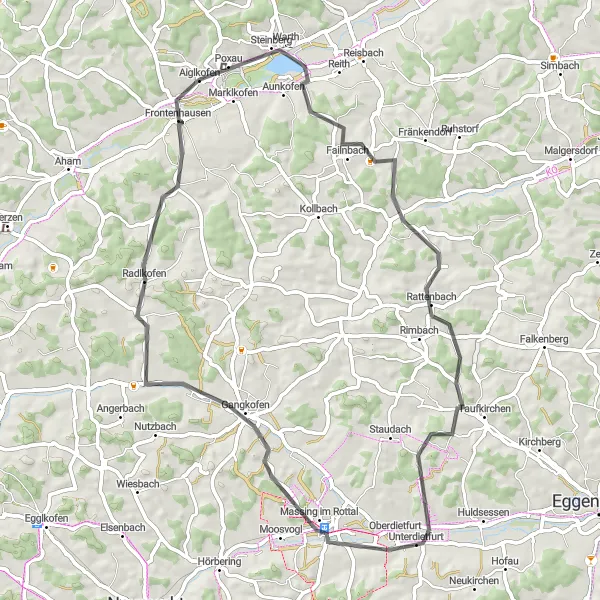
A scenic road cycling route around Frontenhausen
The Frontenhausen Loop is a beautiful road cycling route that takes you on a scenic journey around the Frontenhausen area in Niederbayern, Germany. With a total distance of 62 kilometers and an ascent of 673 meters, this route offers a challenging yet rewarding experience for cyclists. The highlights of this route include Poxau, a charming village with picturesque landscapes, and Aussichtsturm, a stunning lookout tower that provides panoramic views of the surrounding countryside. Overall, the Frontenhausen Loop is a fantastic option for cyclists looking to explore the beauty of Niederbayern.
Frontenhausen Loop
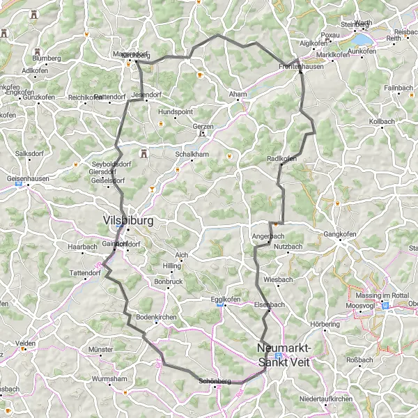
Scenic road cycling tour around Frontenhausen
Explore the charming area around Frontenhausen on this 78 km road cycling tour. With 908 meters of ascent, cyclists will enjoy beautiful vistas and charming towns along the way. Experience the thrill of conquering challenging climbs and the delight of cruising through quiet country roads.
Cycling routes nearby:


Nearby regions: