Cycling paradise in Niederbayern with scenic routes and challenging climbs nearby.
Cycling routes from Dingolfing
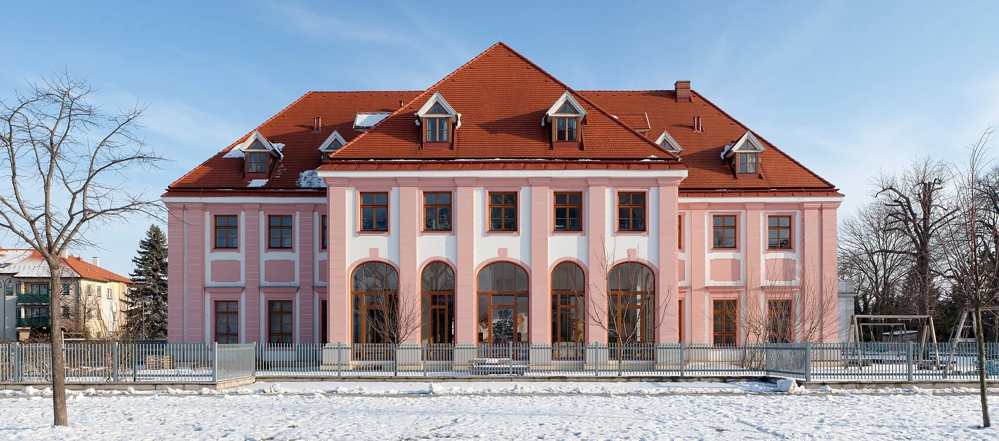
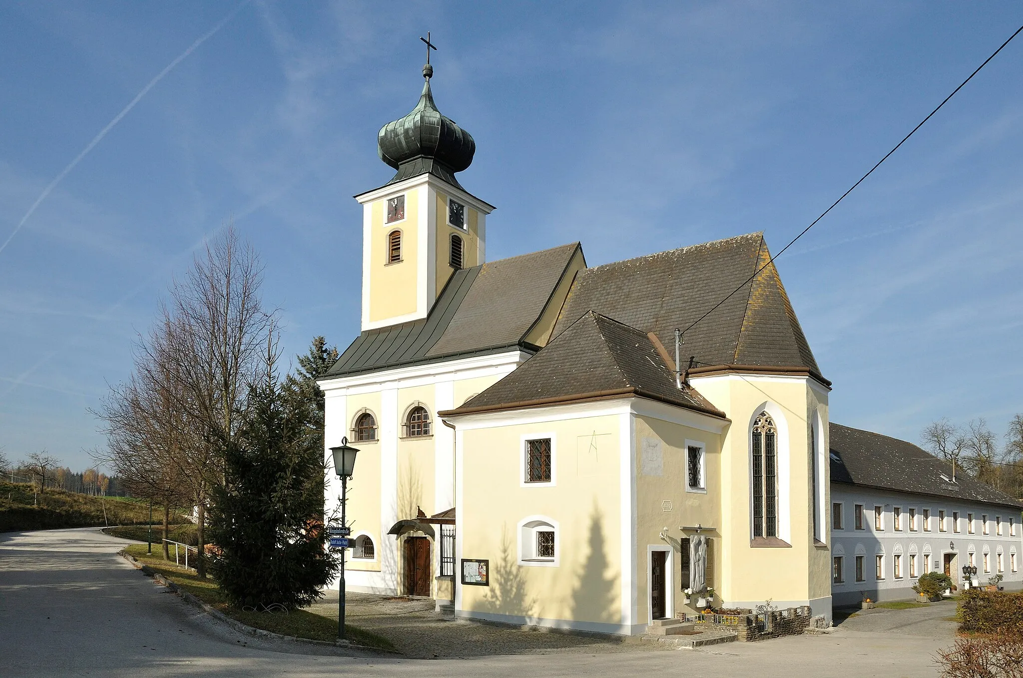
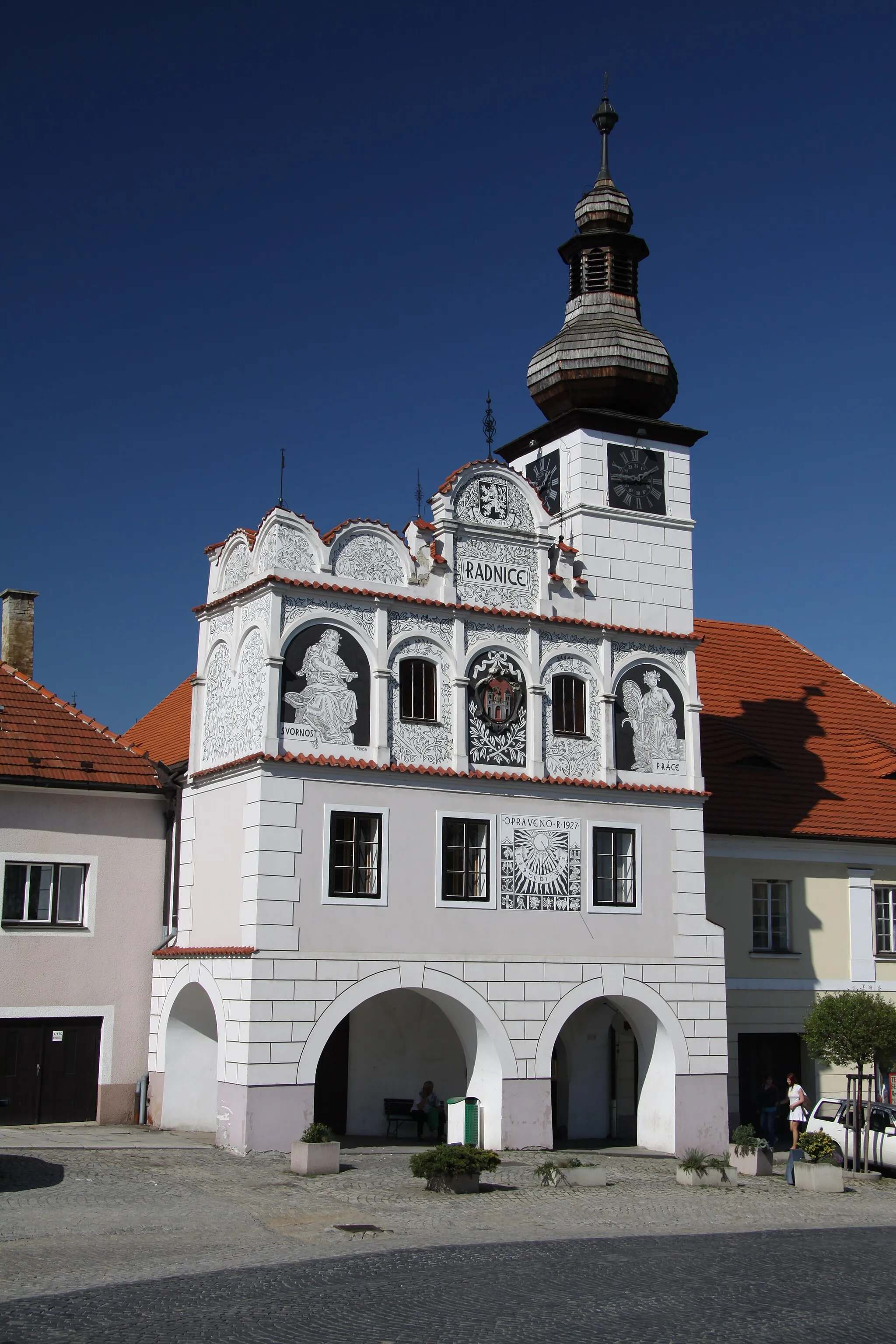
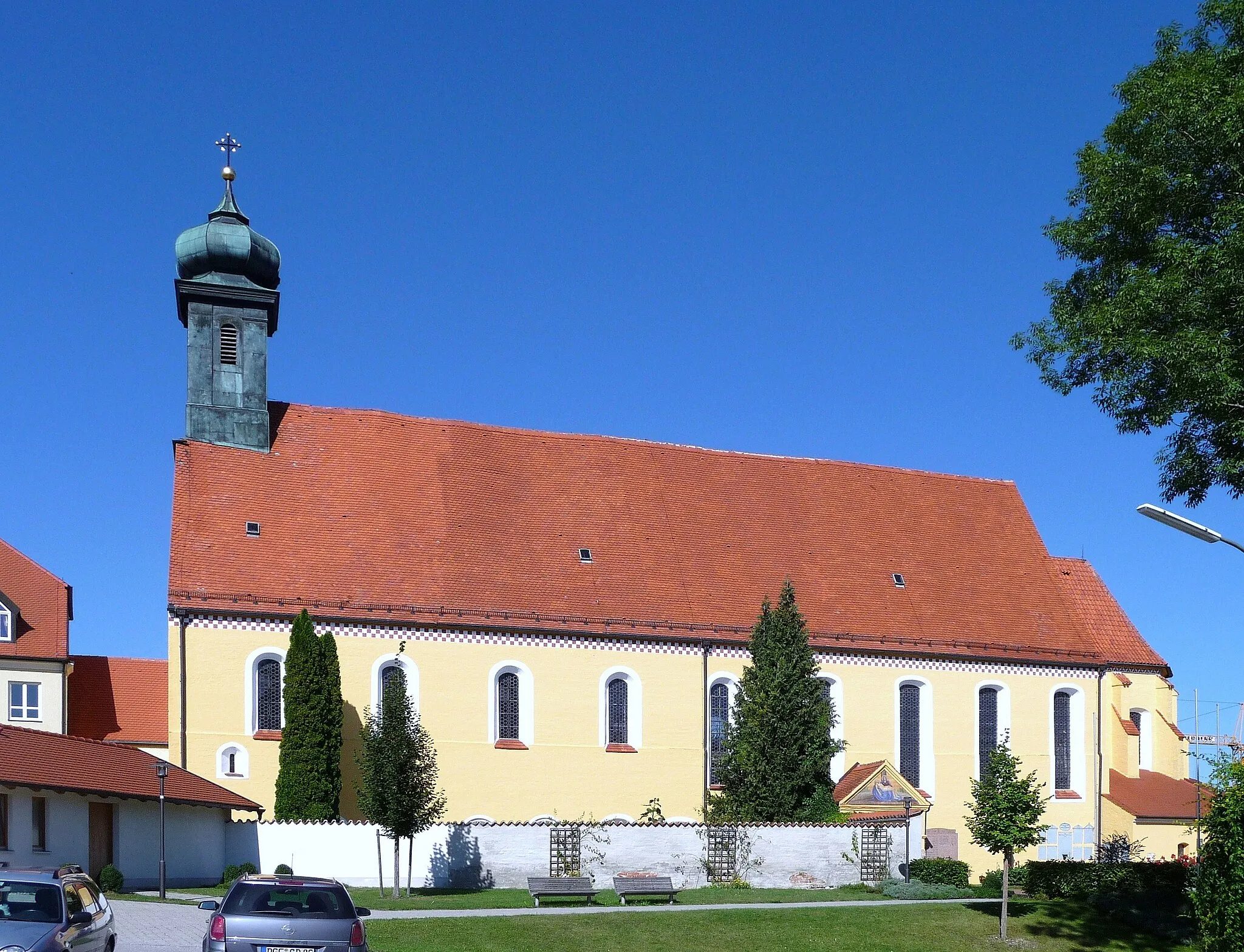
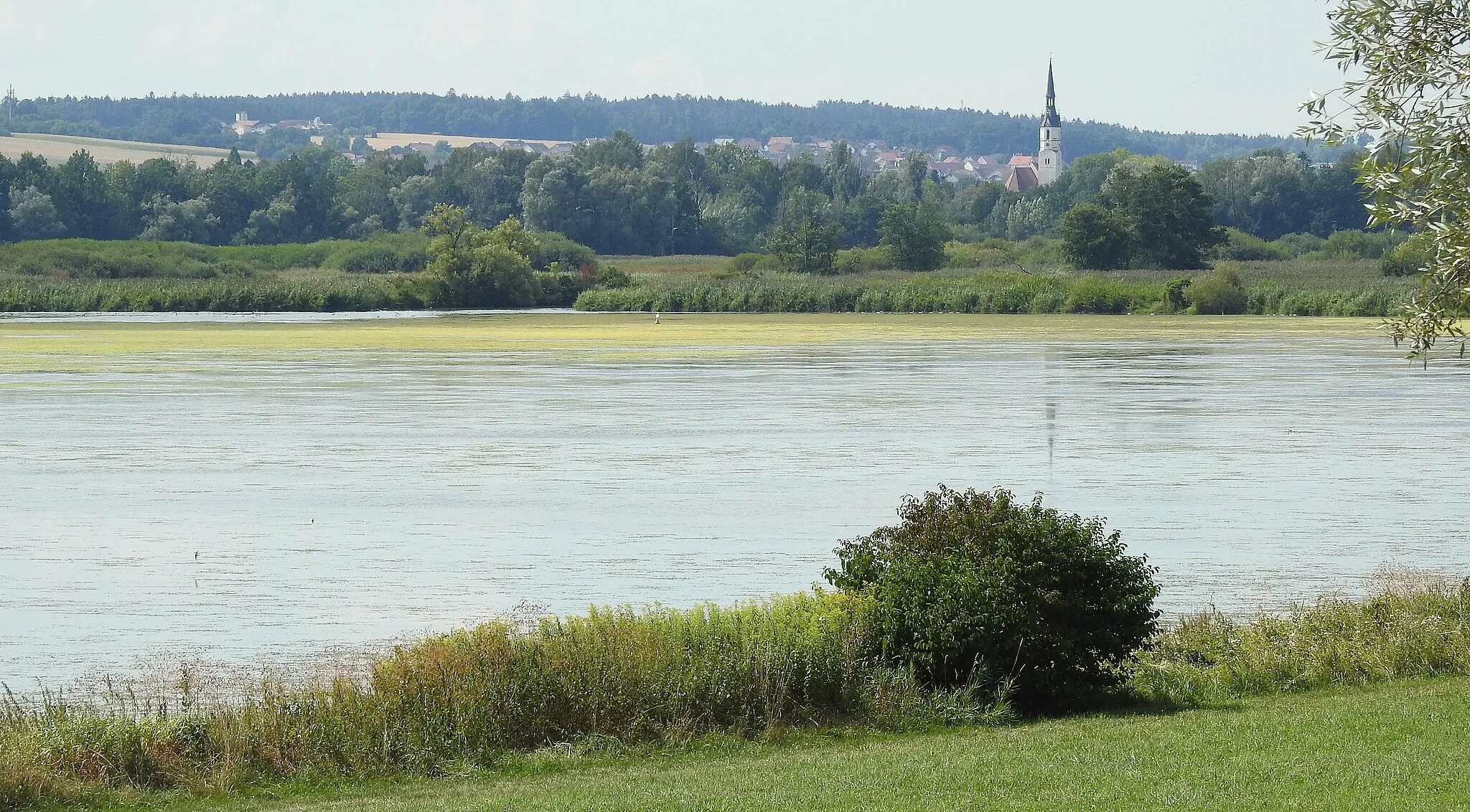
Dingolfing is a charming town located in Niederbayern, Germany. As a road and gravel cyclist, you'll appreciate the town's well-maintained cycling infrastructure and the variety of bike-friendly routes available. Dingolfing is surrounded by beautiful scenery, making it an ideal base for exploring the rolling hills and picturesque landscapes of the region. Additionally, there are several nearby climbs and cycling routes that offer exciting challenges for more experienced riders. Whether you're after leisurely rides or intense training sessions, Dingolfing has something to offer for every cyclist.
An adventurous road cycling route with highlights including Weng and Hüttenkofen
Embark on an epic road cycling adventure near Dingolfing with this challenging route. Ride through impressive landscapes, conquer challenging climbs, and explore picturesque towns such as Greilsberg, Hagelstadt, Riekofen, Perkam, and Hüttenkofen. The route covers a distance of 111 kilometers with an ascent of 981 meters, providing a thrilling experience for experienced road cyclists. Immerse yourself in the natural beauty of Niederbayern and enjoy the cultural highlights along the way.
Explore the charming countryside around Dingolfing on this road cycling loop
Discover the scenic beauty of Niederbayern on this 98-kilometer road cycling loop. With an ascent of 1079 meters, this route is suitable for experienced cyclists seeking both a physical challenge and an immersive cultural experience. Immerse yourself in the history and traditions of the region as you pass through charming villages and take in breathtaking views of the Isar River.
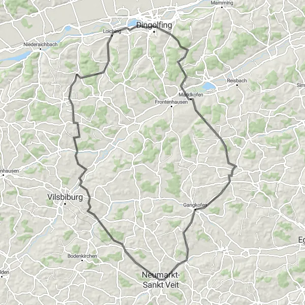
A scenic road cycling route with highlights including Marklkofen and Neumarkt-Sankt Veit
Discover the beauty of Niederbayern on this scenic road cycling route starting near Dingolfing. Ride through rolling hills and picturesque landscapes, passing by charming towns such as Gangkofen, Neumarkt-Sankt Veit, and Weigendorf. This 89-kilometer route offers a challenging ascent of 1064 meters, making it suitable for experienced road cyclists. Enjoy the enchanting views and cultural highlights along the way.
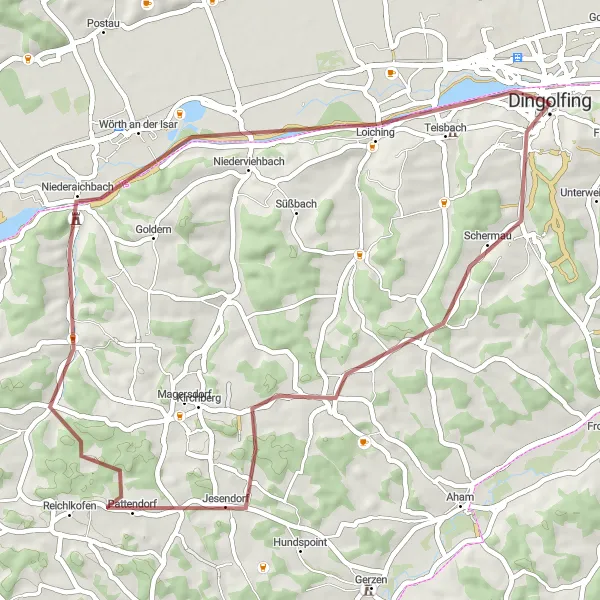
The Gravel Adventure
Embark on a picturesque gravel adventure near Dingolfing
Venture off the beaten path and explore the stunning countryside surrounding Dingolfing. This gravel route offers a unique and thrilling cycling experience with its meandering trails and scenic landscapes. Challenge yourself with a moderate amount of ascent and a distance of 49 kilometers, perfect for an intermediate-level cyclist. Discover charming villages along the way and immerse yourself in the rural beauty of Niederbayern.
The Countryside Escape
Escape to the scenic countryside near Dingolfing on this challenging gravel route
Featuring rolling hills and serene landscapes, this 55-kilometer gravel route showcases the captivating beauty of the Dingolfing countryside. With an ascent of 475 meters, this route is perfect for intermediate to advanced cyclists seeking a challenging and rewarding expedition. Explore rural villages and soak in the peaceful ambiance of the Bavarian countryside.
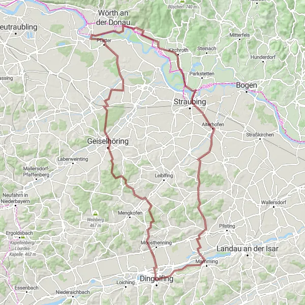
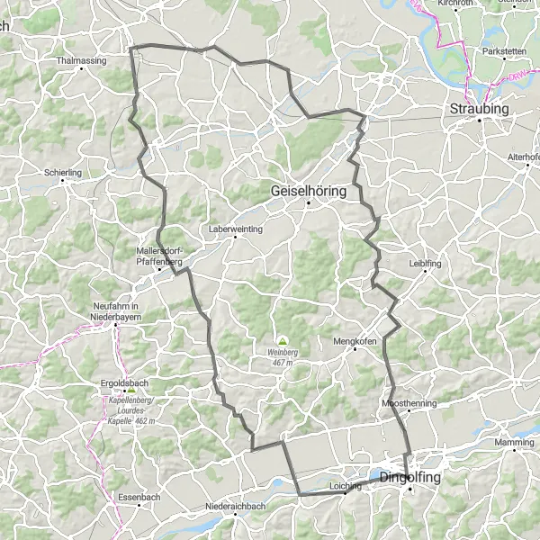
A scenic gravel route with highlights including Geiselhöring and Straubing
Venture into the unknown on this exploratory gravel route near Dingolfing. Ride through diverse landscapes, ranging from rolling hills to picturesque towns, capturing the essence of Niederbayern. Explore the charming towns of Geiselhöring, Pfatter, Kirchroth, Straubing, and Großköllnbach, and uncover hidden gems along the way. The route covers a distance of 121 kilometers with an ascent of 782 meters, challenging seasoned gravel riders. Indulge in the beauty of nature and immerse yourself in the cultural highlights.
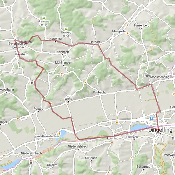
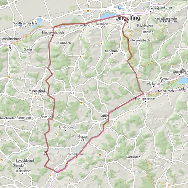
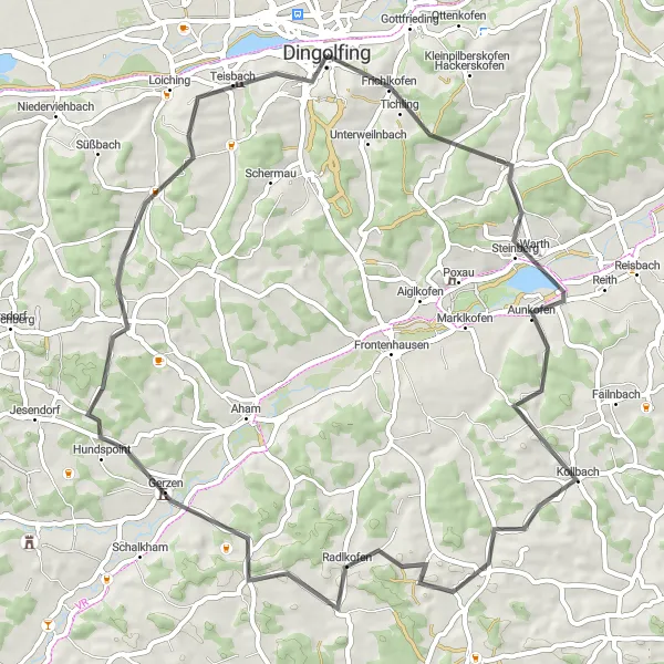
A scenic gravel route with highlights like Schermau and Wörth an der Isar
Embark on a picturesque gravel cycling adventure starting near Dingolfing. This route takes you through beautiful landscapes and offers the opportunity to visit the charming towns of Schermau and Wörth an der Isar. The route covers a distance of 47 kilometers with an ascent of 353 meters. It is suitable for both intermediate and advanced gravel riders. Enjoy the serene nature and cultural highlights along the way.
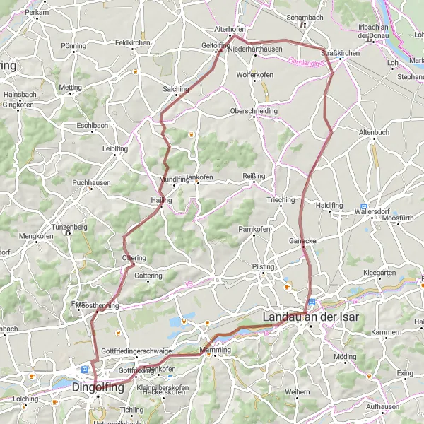
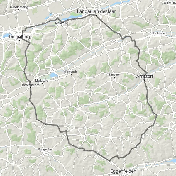
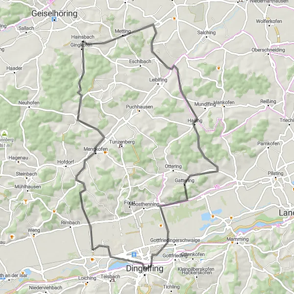
An adventurous gravel route with highlights including Moosthenning and Gottfrieding
Experience the thrill of gravel cycling on this adventurous route near Dingolfing. Along the way, you'll encounter scenic landscapes and have the opportunity to explore the picturesque towns of Moosthenning, Salching, Paitzkofen, Landau an der Isar, and Gottfrieding. The route covers a distance of 74 kilometers with an ascent of 335 meters, making it suitable for intermediate gravel riders. Immerse yourself in nature and enjoy the cultural highlights along the route.
The Ultimate Challenge
Embark on the ultimate road cycling challenge near Dingolfing
Prepare for an epic 61-kilometer road cycling adventure that will test your endurance and skills. With an ascent of 902 meters, this route is reserved for experienced cyclists seeking a formidable challenge. Push your limits as you conquer undulating terrain and savour the raw beauty of Niederbayern's countryside. Beat your personal records and enjoy the satisfaction of completing this demanding route.
The Countryside Delight
Experience the delightful countryside near Dingolfing on this road cycling route
Indulge in a scenic 65-kilometer road cycling route that showcases the picturesque countryside surrounding Dingolfing. With an ascent of 562 meters, this moderately challenging route is ideal for intermediate-level cyclists seeking a blend of tranquility and natural beauty. Immerse yourself in the rich history and cultural heritage of the region as you pedal through charming villages and admire the rolling hills and vibrant greenery.
Cycling routes nearby:


Nearby regions: