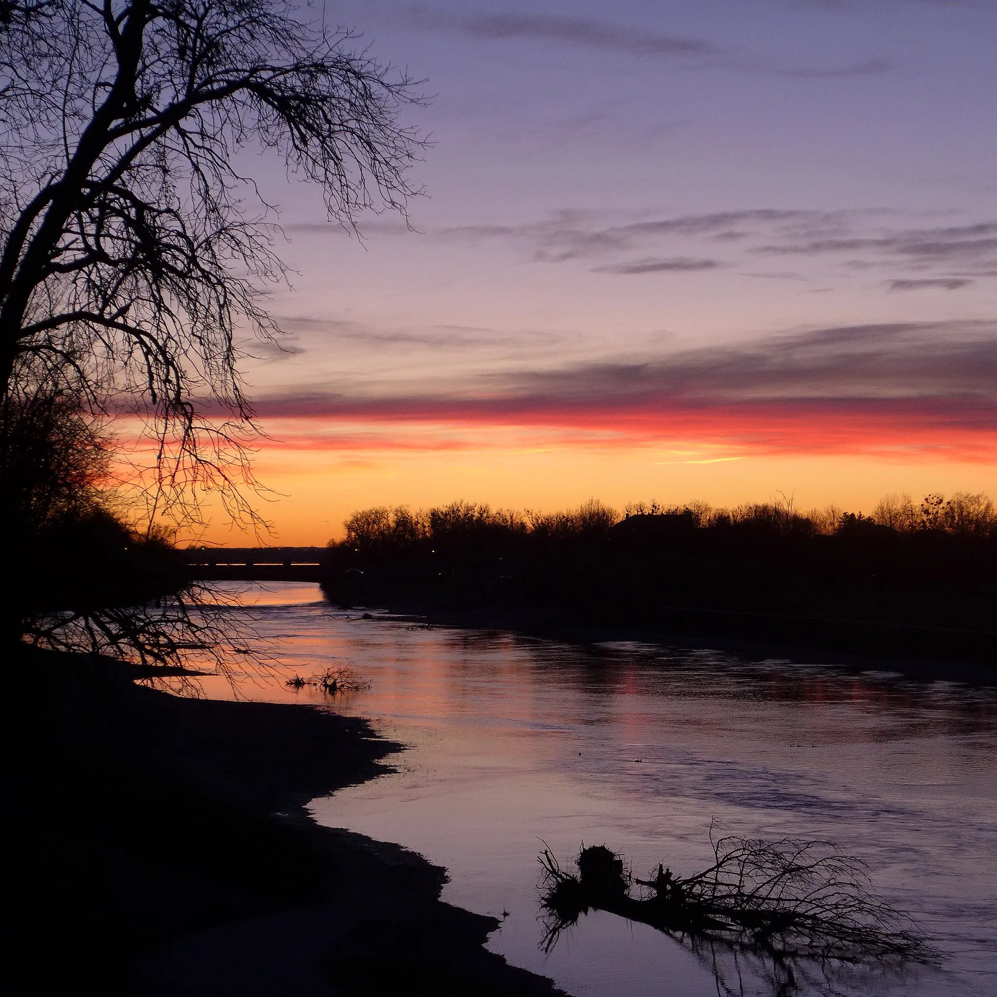
Tranquil cycling retreat in Niederbayern
Cycling routes from Marklkofen
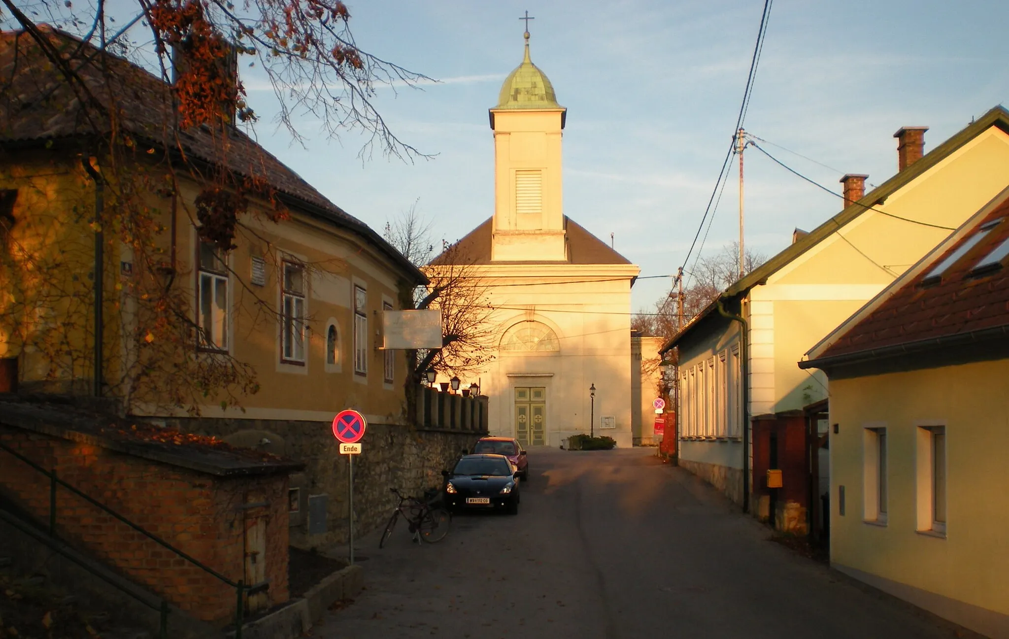
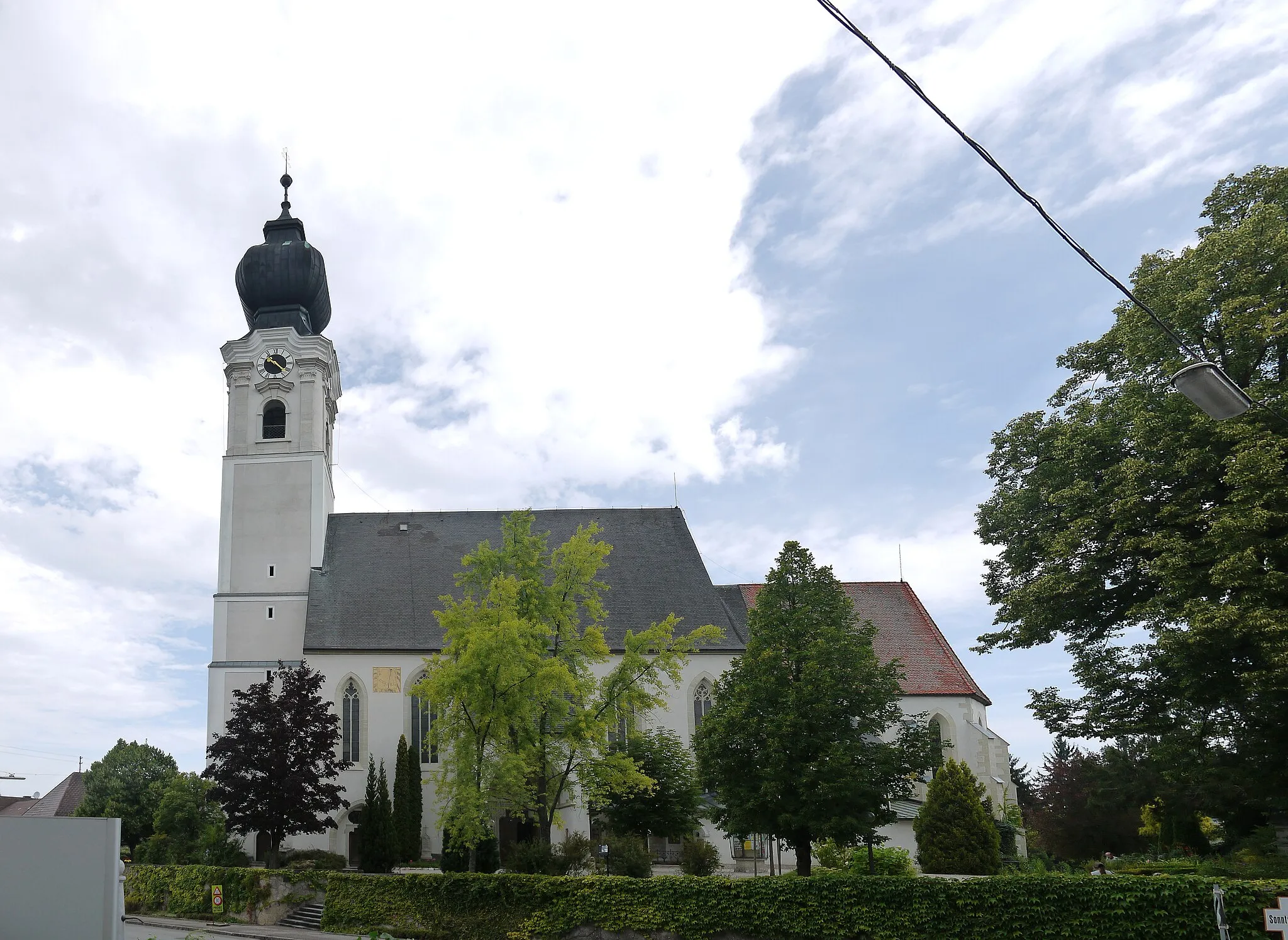
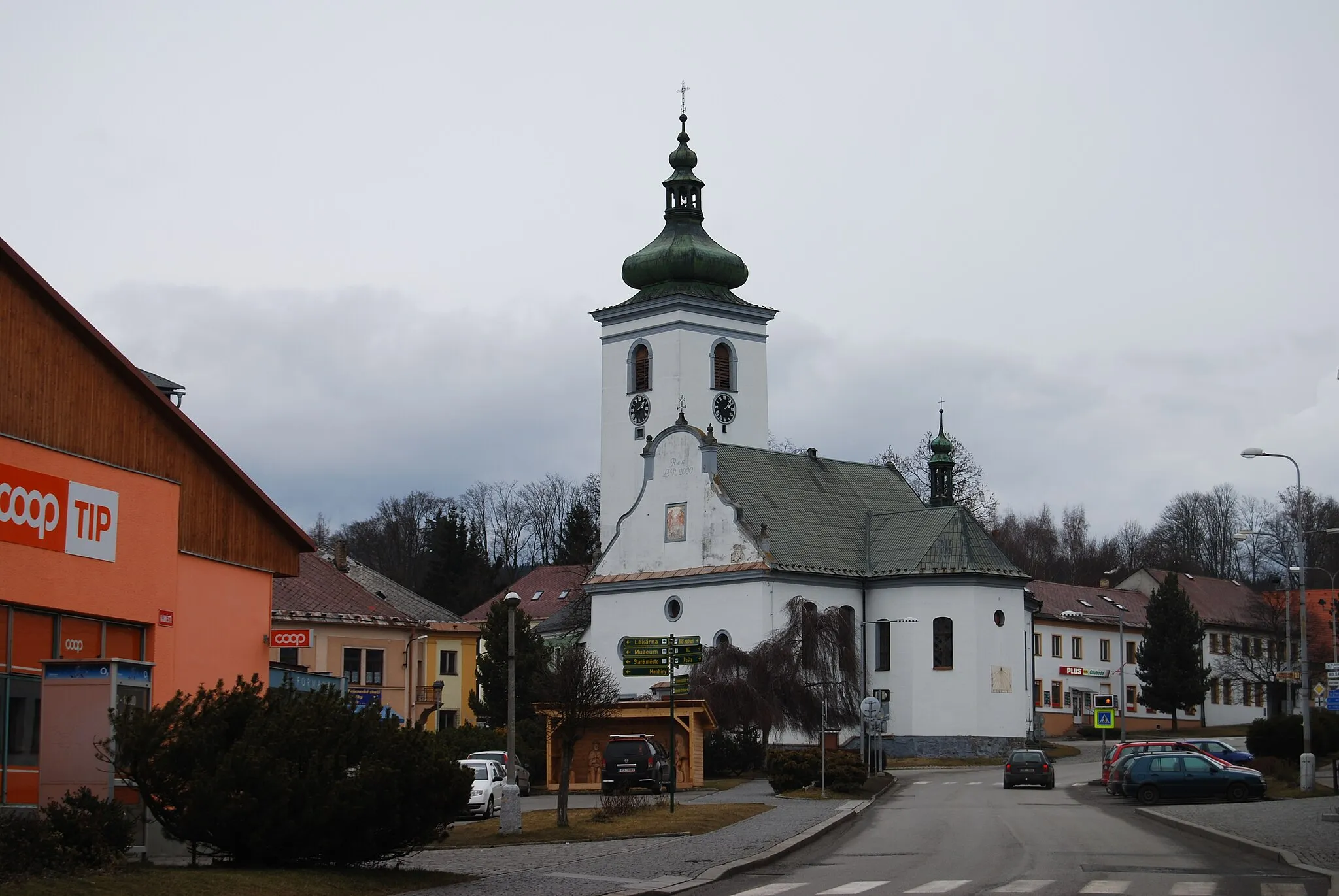
Marklkofen is situated in Niederbayern, Germany. As a road and gravel cyclist, Marklkofen provides enjoyable cycling experiences with its tranquil rural surroundings and well-paved roads. Cyclists can explore the beautiful countryside, passing by quaint villages and rolling hills. A nearby popular cycling route is the Rottaler Runde, which offers diverse scenery and peaceful landscapes. Marklkofen is a great destination for cyclists seeking a peaceful and scenic cycling getaway.
Diepoltskirchen Ride
Exploring the rural beauty near Diepoltskirchen
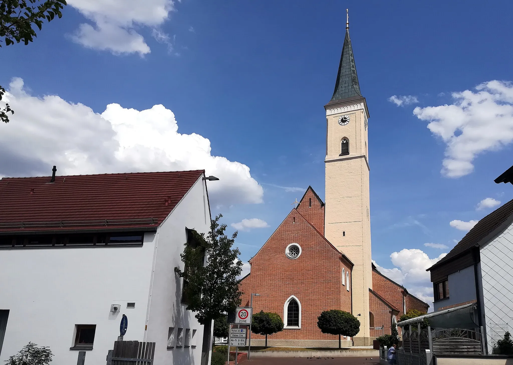
The Diepoltskirchen Ride will take you on a scenic cycling adventure through the serene countryside of Niederbayern, Germany. With a total distance of 67km and an elevation gain of 675m, this road cycling route offers a challenging yet rewarding experience. Highlights along the way include Poxau, Simbach, Neukirchen, and Diepoltskirchen. This route receives a difficulty rating of 3 out of 5, suitable for intermediate-level cyclists. Immerse yourself in the rural beauty, enjoy the picturesque landscapes, and discover the hidden charms of this region.
A gravel cycling route with a taste of nature
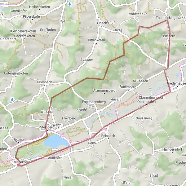
This 33-kilometer gravel route takes you through picturesque landscapes near Marklkofen. With an ascent of 340 meters, it offers a moderately challenging ride for gravel enthusiasts. The route is characterized by its tranquility and scenic beauty, allowing riders to immerse themselves in nature. Along the way, you'll pass through Thanhöcking, a small village known for its charming atmosphere and friendly locals.
The Poxau Loop
Experience the scenic beauty of Niederbayern on this road cycling loop
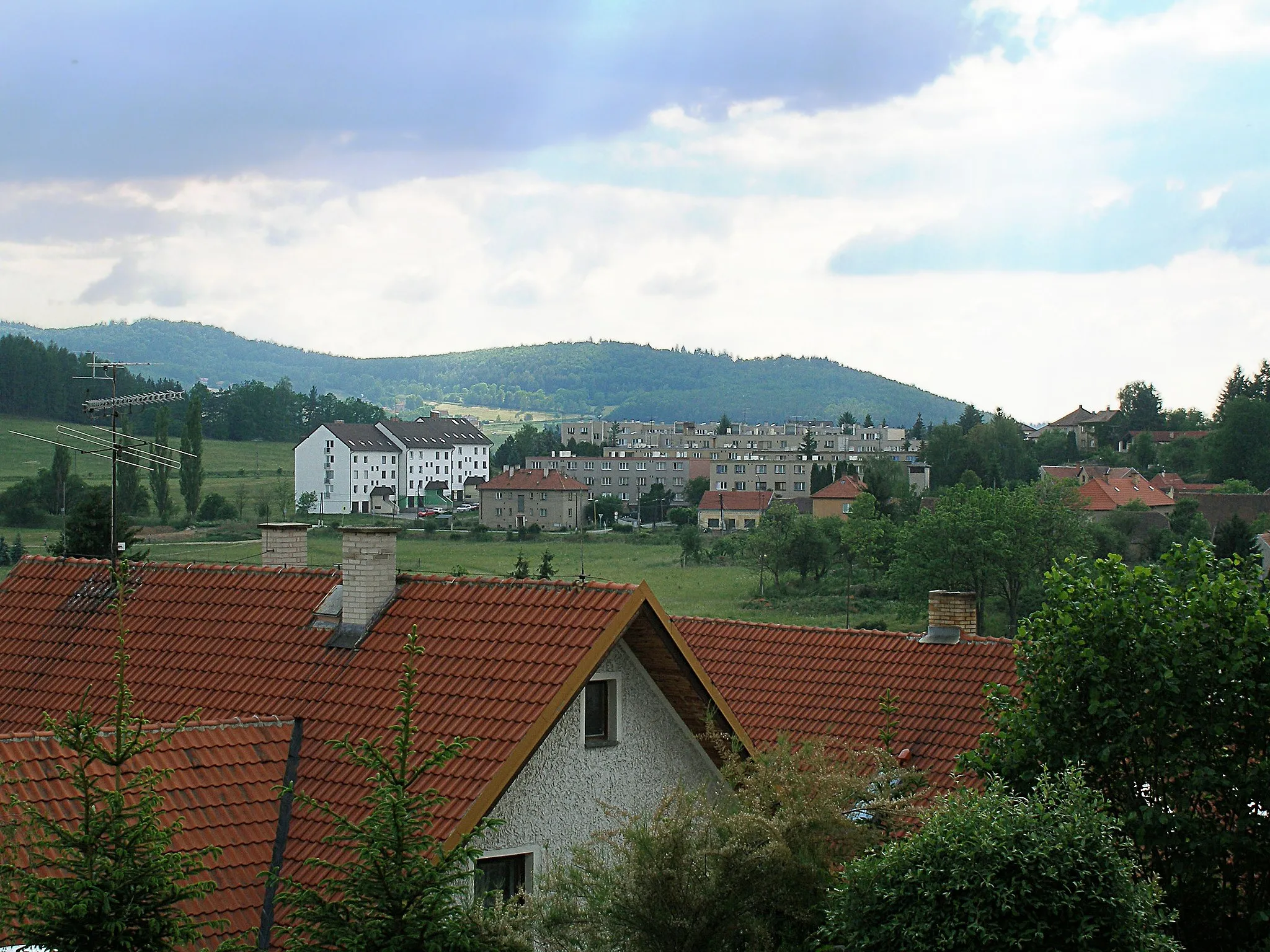
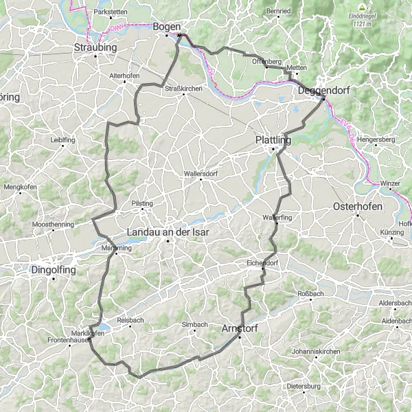
The Poxau Loop is a stunning road cycling route that takes you through the picturesque landscapes of Niederbayern. With a total distance of 143 kilometers and an ascent of 957 meters, it offers a challenging yet rewarding ride for cycling enthusiasts.
Embarking on a gravel adventure near Frontenhausen
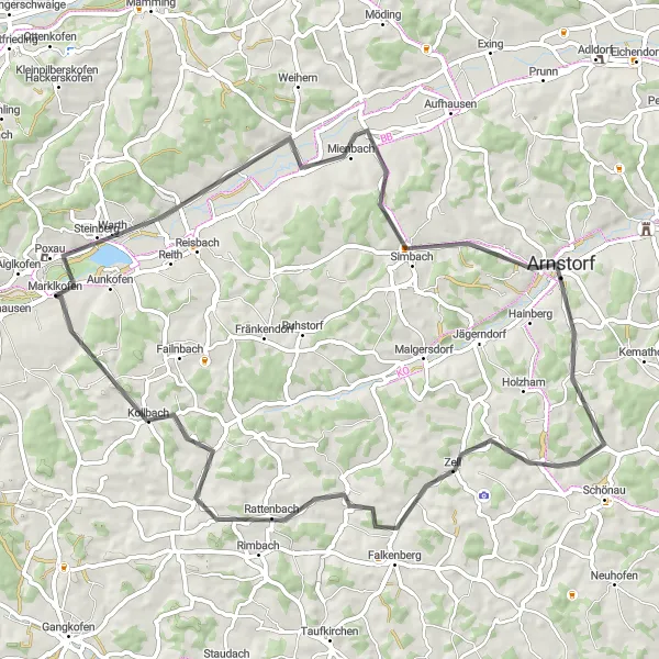
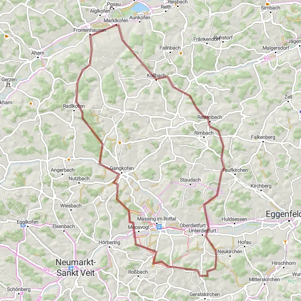
Get ready for an exciting gravel cycling adventure near Frontenhausen, Germany. The Frontenhausen Gravel Adventure is an 80km route with an elevation gain of 799m. It is suitable for gravel bikes, offering a thrilling off-road experience. Highlights along the way include Frontenhausen, Lohkirchen, and Frauensattling. This route receives a difficulty rating of 4 out of 5, perfect for experienced gravel cyclists looking for a challenging ride. The scenic beauty and off-the-beaten-path trails make this route truly epic. Prepare to be captivated by the rugged landscapes and breathtaking views of the countryside.
Exploring the rural beauty near Gottfrieding
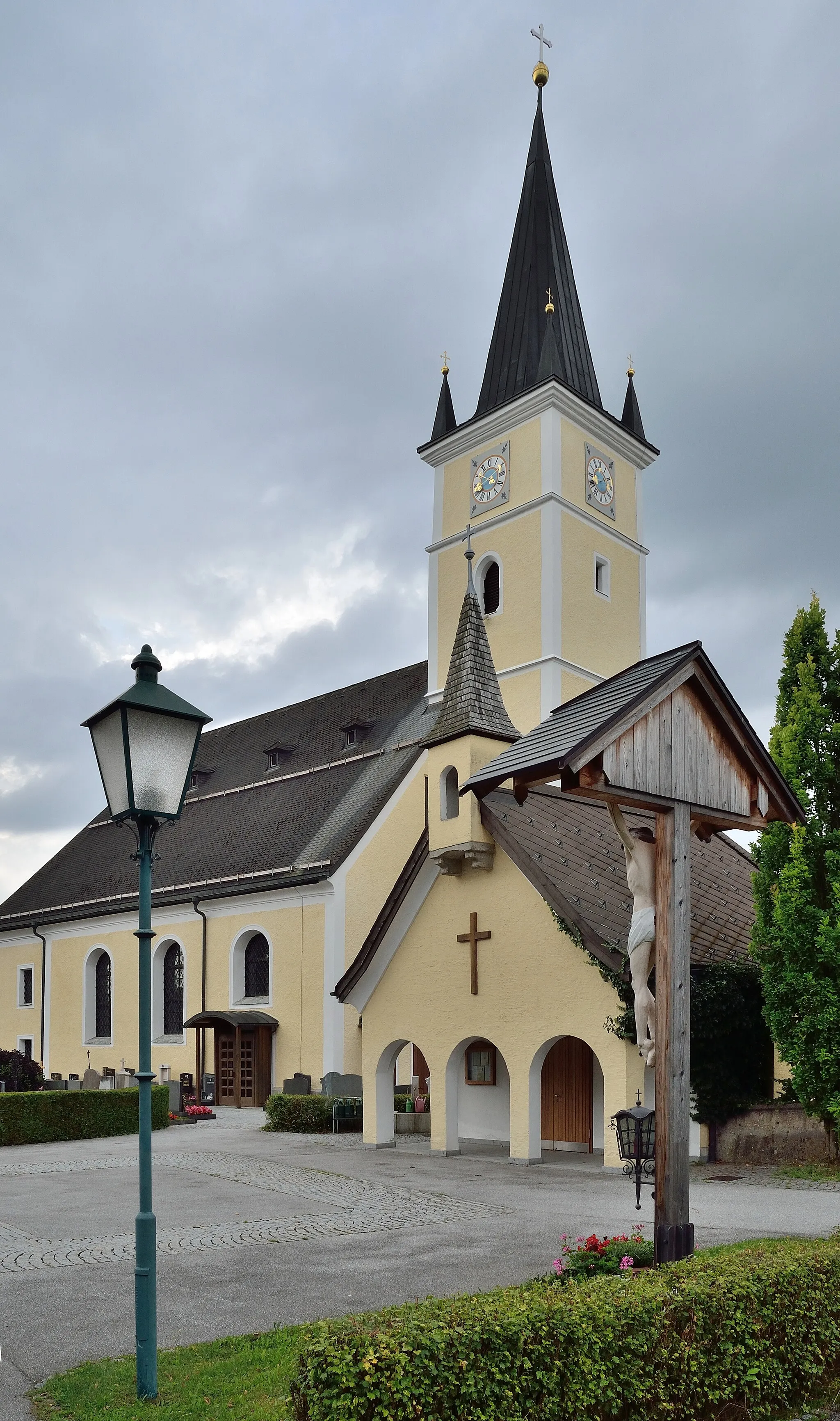
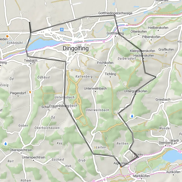
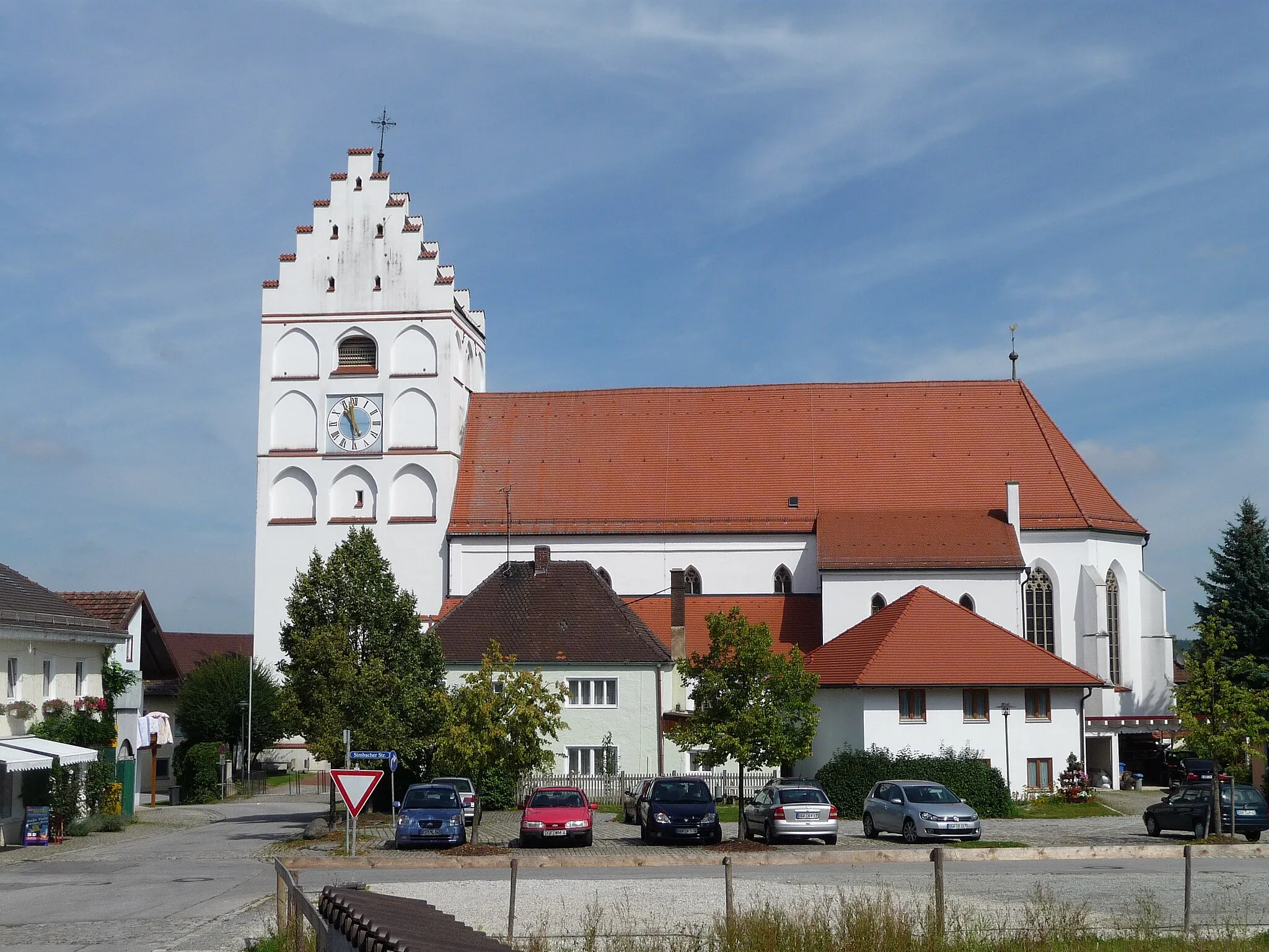
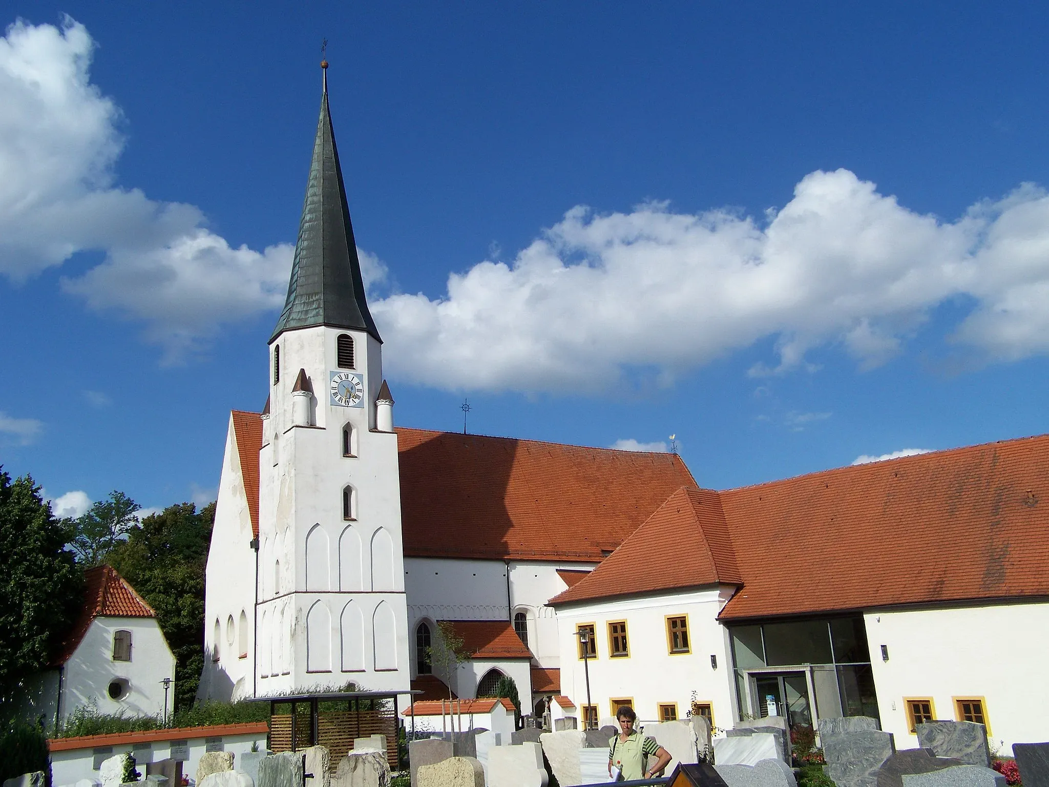
The Gottfrieding Loop is a 35km road cycling route that takes you through the tranquil countryside of Niederbayern, Germany. With a total elevation gain of 366m, this route offers a relatively easy ride suitable for cyclists of all levels. Starting in Aiglkofen, the route passes through Schloss Teisbach and Gottfrieding. A highlight of this route is Schloss Poxau, known for its stunning architecture and historic significance. The Gottfrieding Loop receives a difficulty rating of 2 out of 5, making it perfect for leisurely rides in the countryside. The scenic beauty and charming towns along the way make it a delightful cycling experience.
Marklkofen Loop
Exploring the beautiful landscape near Marklkofen
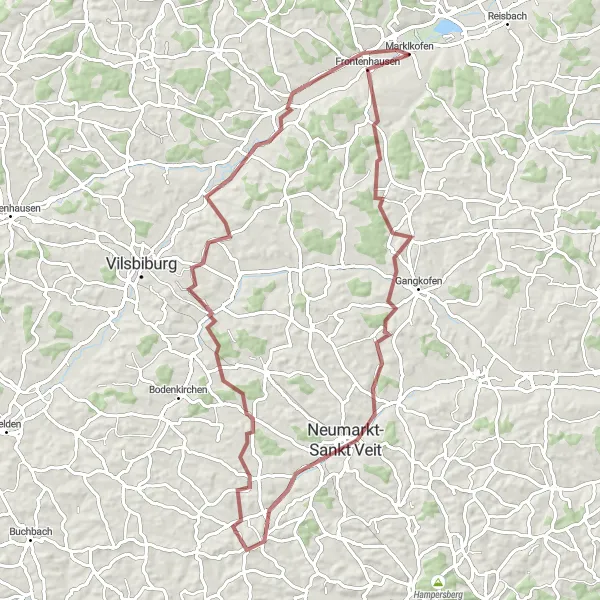
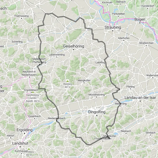
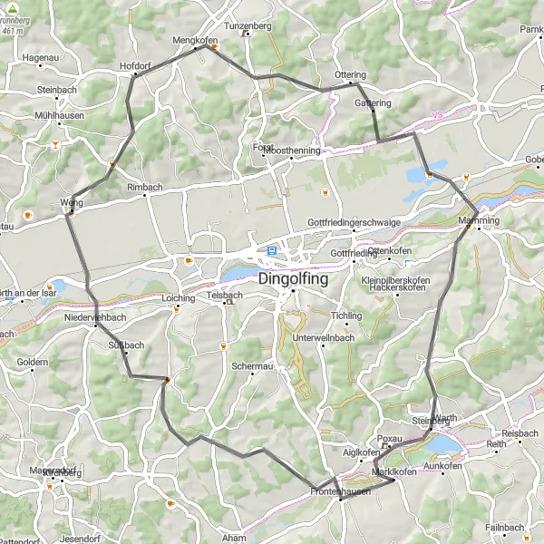
The Marklkofen Loop takes you through the scenic countryside of Niederbayern, Germany. With a total distance of 140km and an elevation gain of 1083m, this road cycling route offers a challenging yet rewarding experience. The route starts in Marklkofen and passes through picturesque towns like Aham, Niederaichbach, and Paindlkofen. Highlights along the way include Mallersdorf-Pfaffenberg, Pfakofen, and Riekofen. The difficulty level of this route is rated as 4 out of 5, suitable for well-trained amateurs. With its varied terrain and stunning views, it offers a truly epic cycling adventure.
Marklkofen Loop
Experience the beauty of Niederbayern on this scenic cycling route.
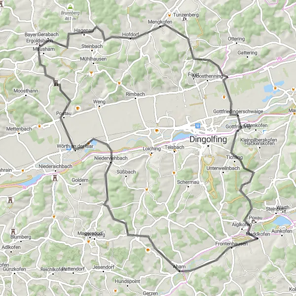
The Marklkofen Loop is a picturesque cycling route that takes you through the stunning landscapes of Niederbayern. With a distance of 66 kilometers and an elevation gain of 725 meters, it offers a moderate challenge for well-trained amateur cyclists. The route starts in Marklkofen and passes through Oberspechtrain, Weng, Mengkofen, Großweiher, Mamming, and Schloss Poxau.
The Isar Valley Experience
Embark on a road cycling adventure through the stunning Isar Valley
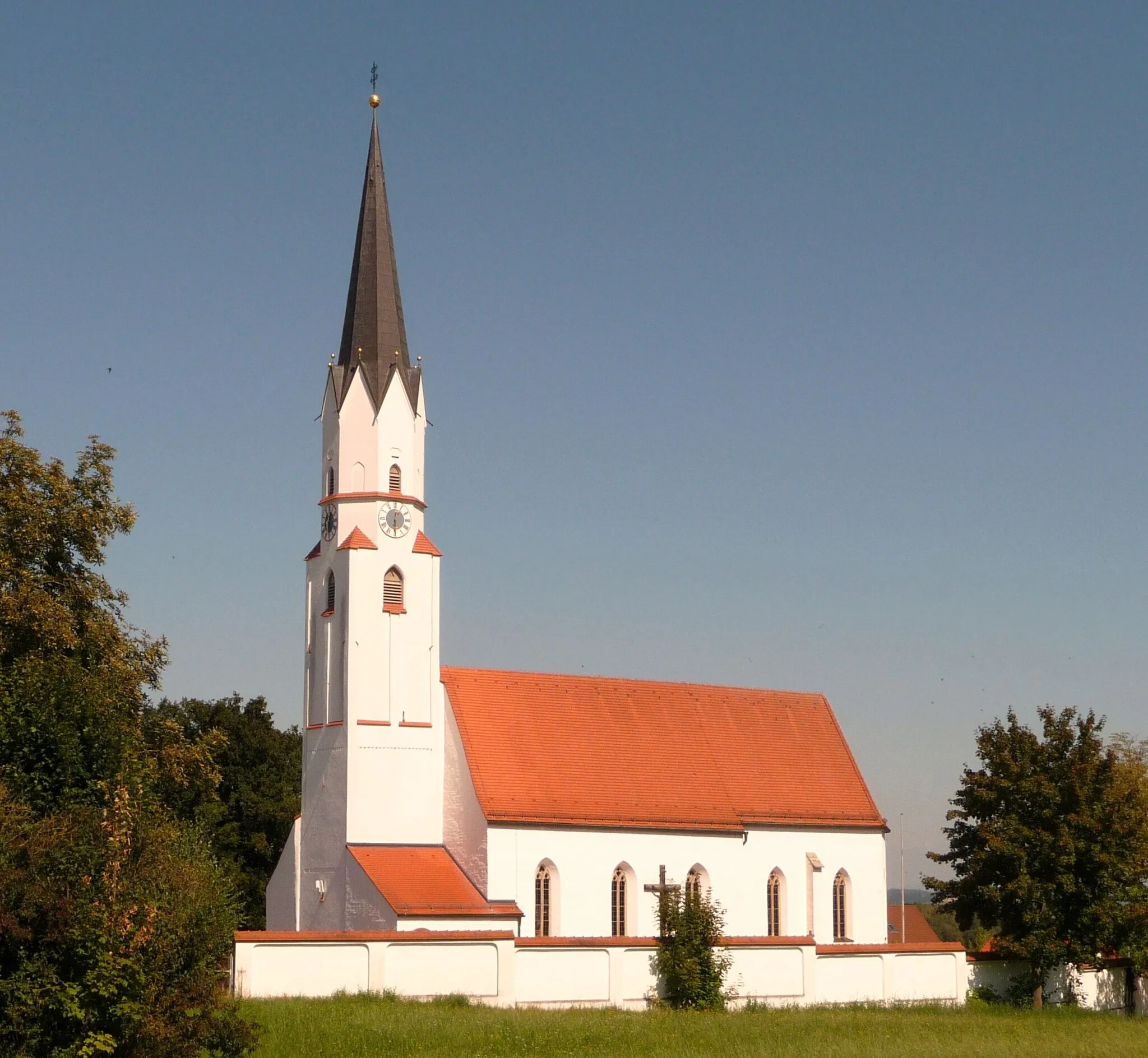
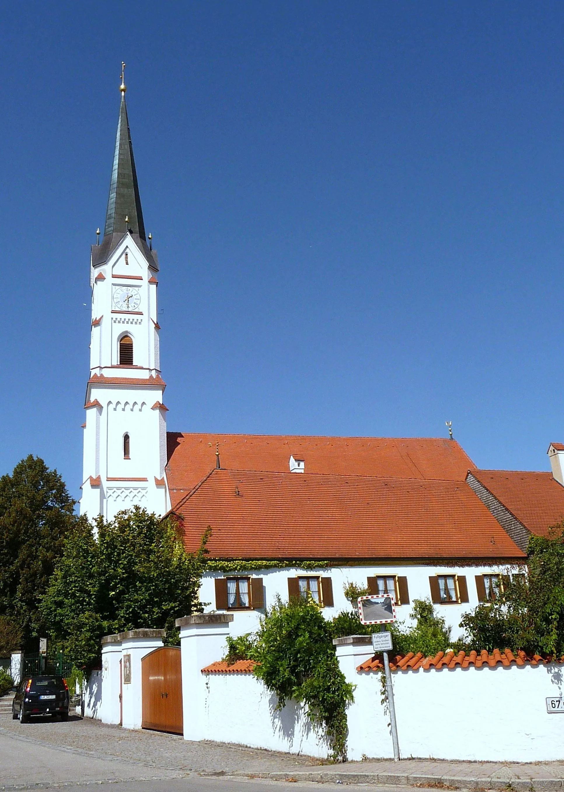
This 80-kilometer road cycling route takes riders through the magnificent Isar Valley, offering a spectacular blend of nature and culture. With an ascent of 792 meters, this is a moderately challenging route that will leave you awe-inspired. Starting in Marklkofen, you'll embark on a journey through Oberviehbach, a charming village known for its historic buildings and welcoming atmosphere. Wörth an der Isar awaits you further along the route, offering breathtaking views of the river and picturesque landscapes. Ginhart entices with its traditional Bavarian charm and fascinating architecture. Weinberg greets you with scenic countryside views and a serene atmosphere. Gottfrieding captivates visitors with its idyllic countryside setting and warm hospitality. The route concludes at Aiglkofen, offering stunning panoramas from its elevated position.
Escape the city and encounter the tranquility of Bavaria's countryside
This 65-kilometer gravel cycling route promises to transport you into the heart of Bavaria's idyllic countryside. With an ascent of 945 meters, it caters to cyclists seeking a moderate challenge amidst beautiful surroundings. As you journey through Unterdietfurt, you'll pass by stunning landscapes dominated by fields of vibrant wildflowers. Schloss Hellsberg awaits you further along the route, offering breathtaking architectural beauty nestled amidst nature. Georgenschwimmbach captivates with its peaceful ambience and scenic wonders. Finally, the route loops back to Marklkofen, where you can unwind and reflect on your picturesque countryside escape.
A challenging road cycling route through Bavaria's beautiful landscapes
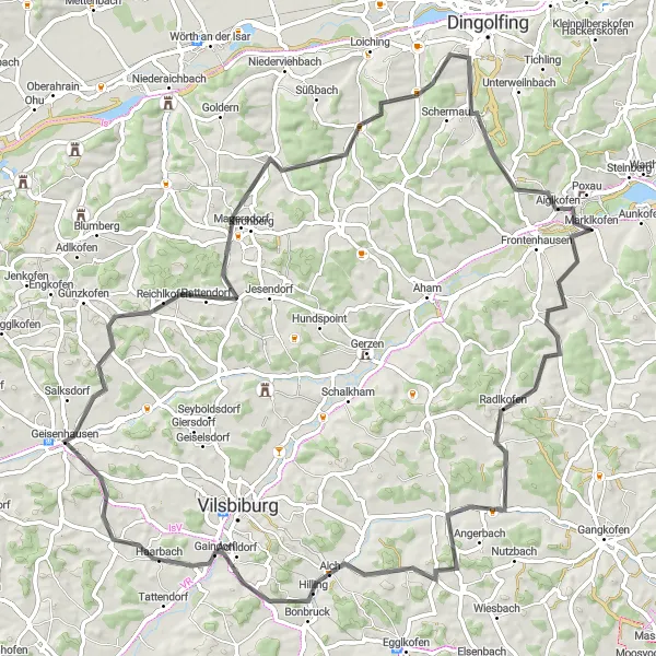
Embark on this 85-kilometer road cycling adventure that will take you through the stunning countryside near Marklkofen. With an ascent of 951 meters, this route is ideal for experienced cyclists looking for a challenge. Along the way, you'll pass through Jesenkofen, a small village known for its traditional Bavarian charm. Geisenhausen is another highlight, offering a fascinating mix of history and culture. The picturesque village of Weigendorf is the ultimate destination, where you can unwind and enjoy the friendly Bavarian atmosphere.
Cycling routes nearby:

Nearby regions: