Charming Landscapes and Bavarian Villages
Cycling routes from Mamming
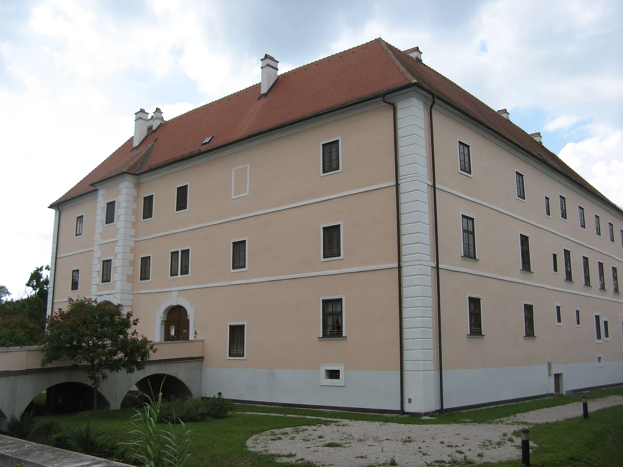
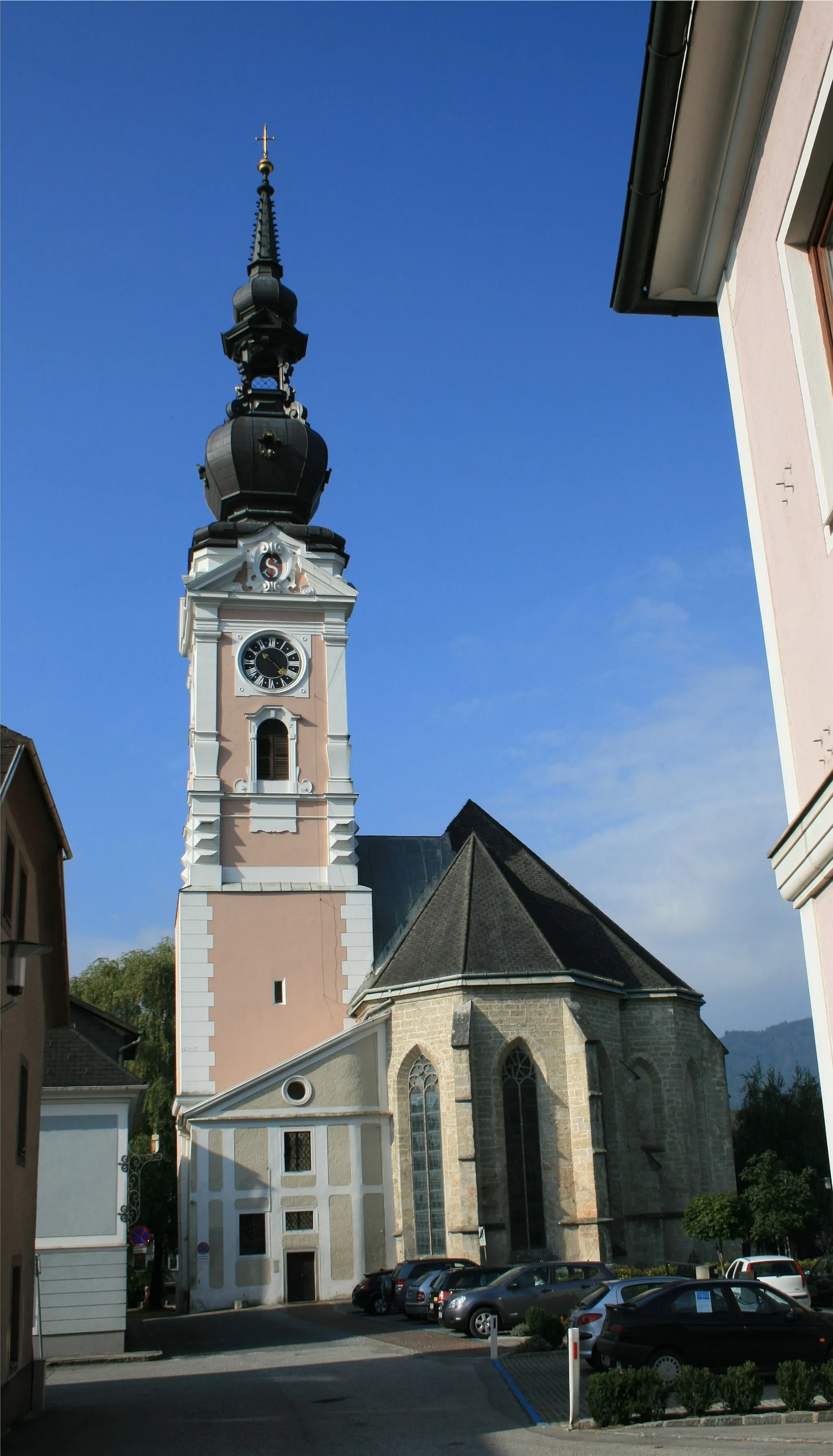
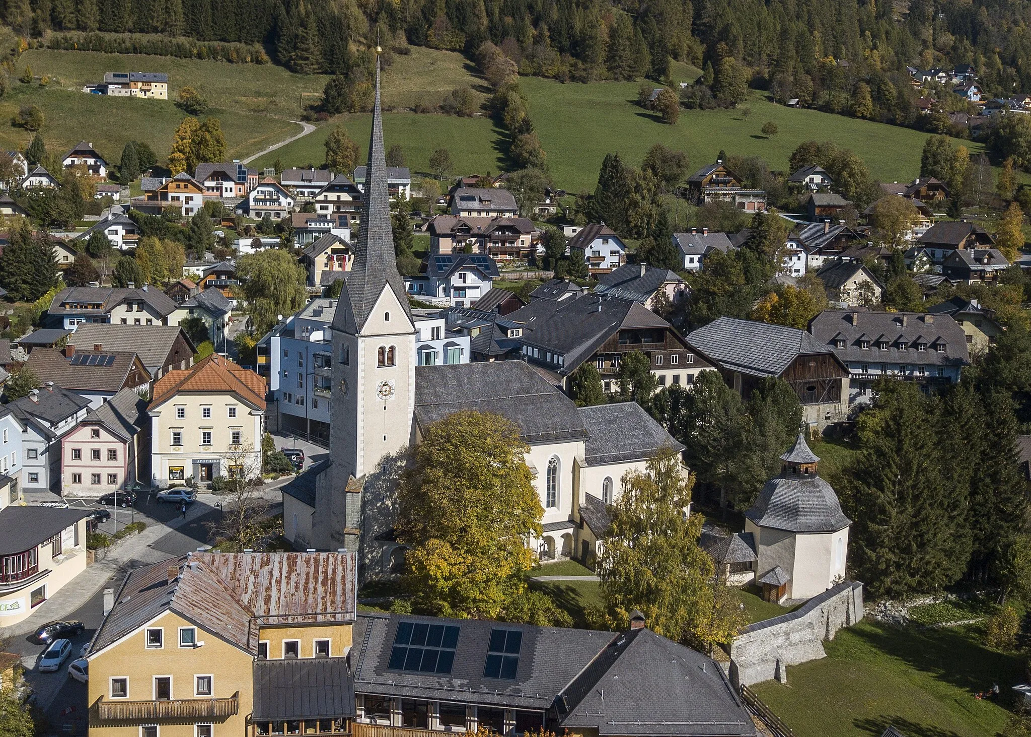
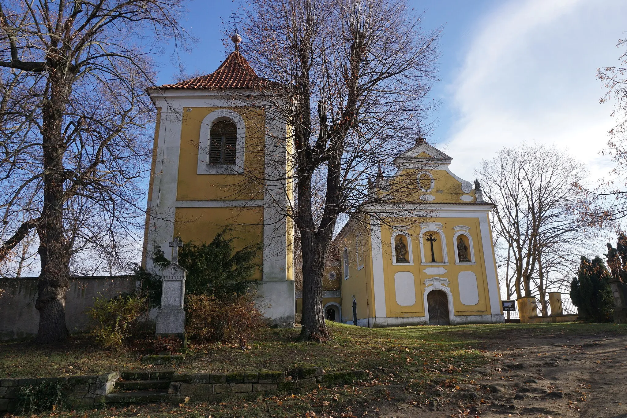
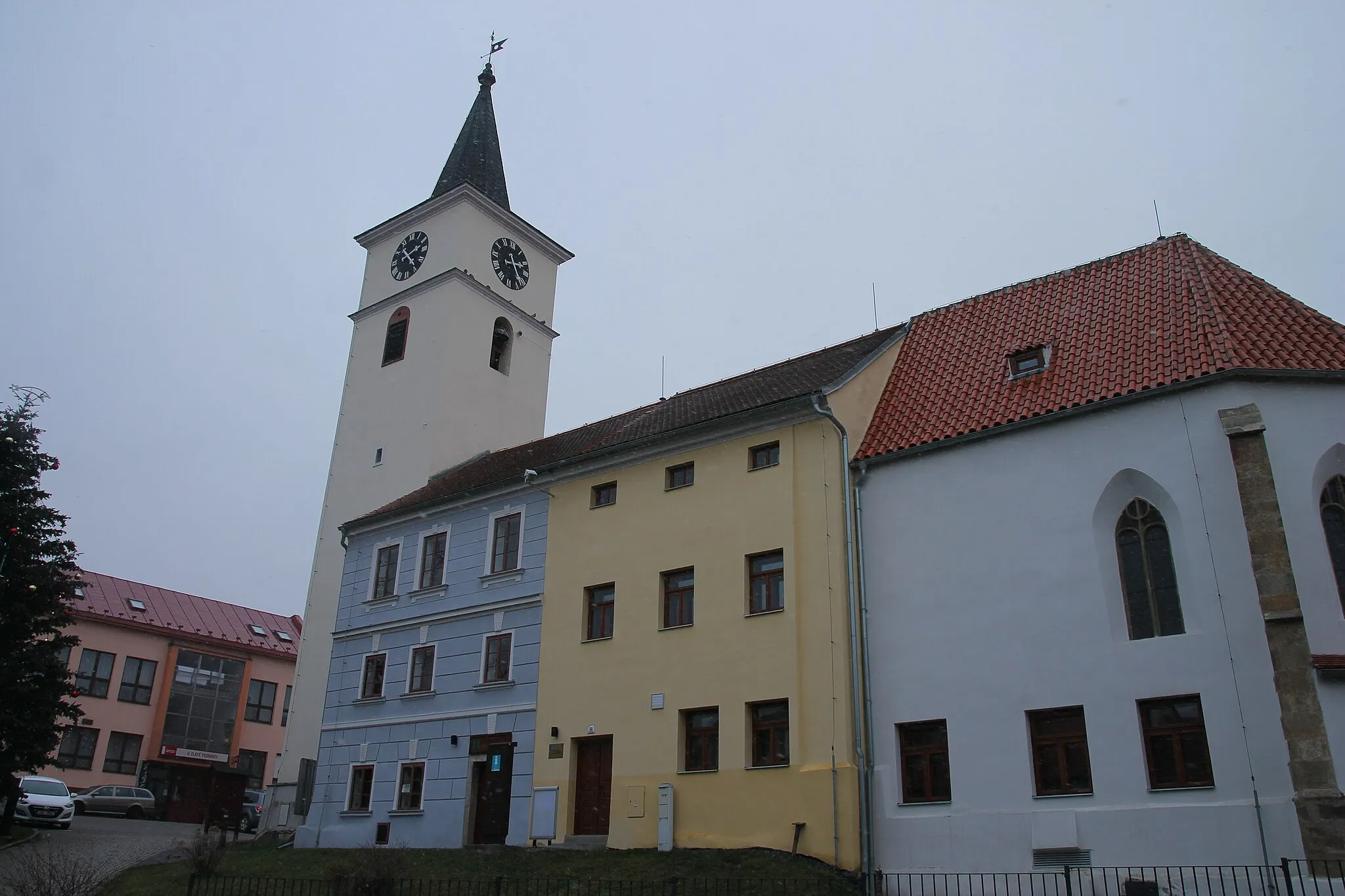
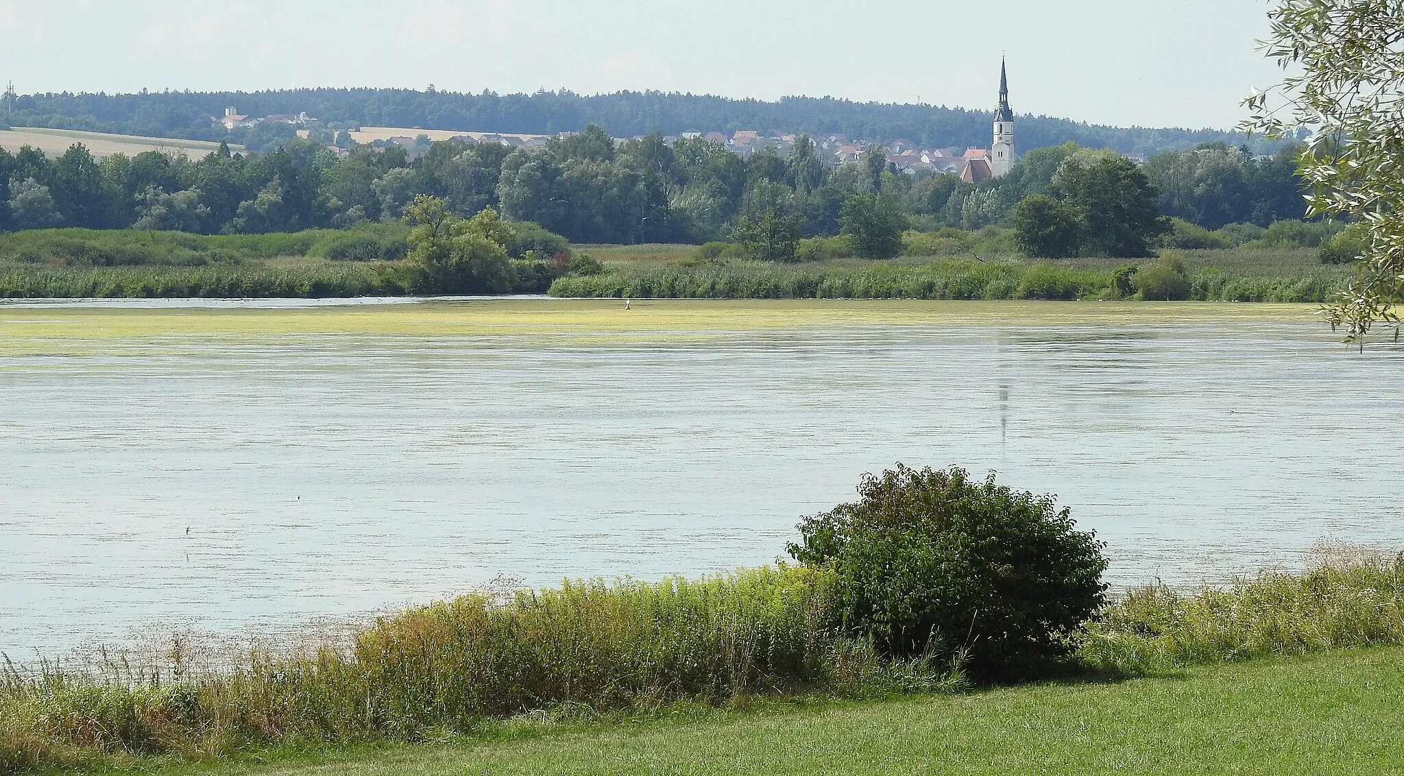
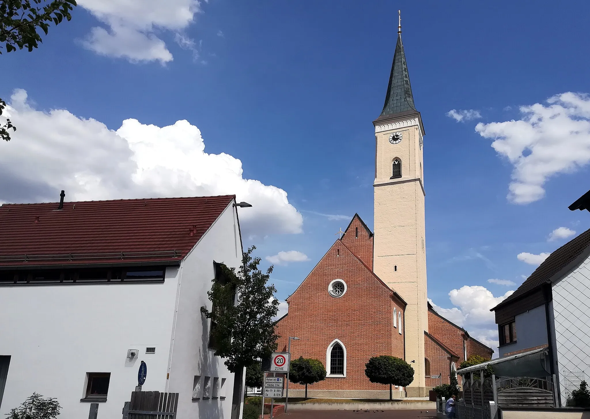
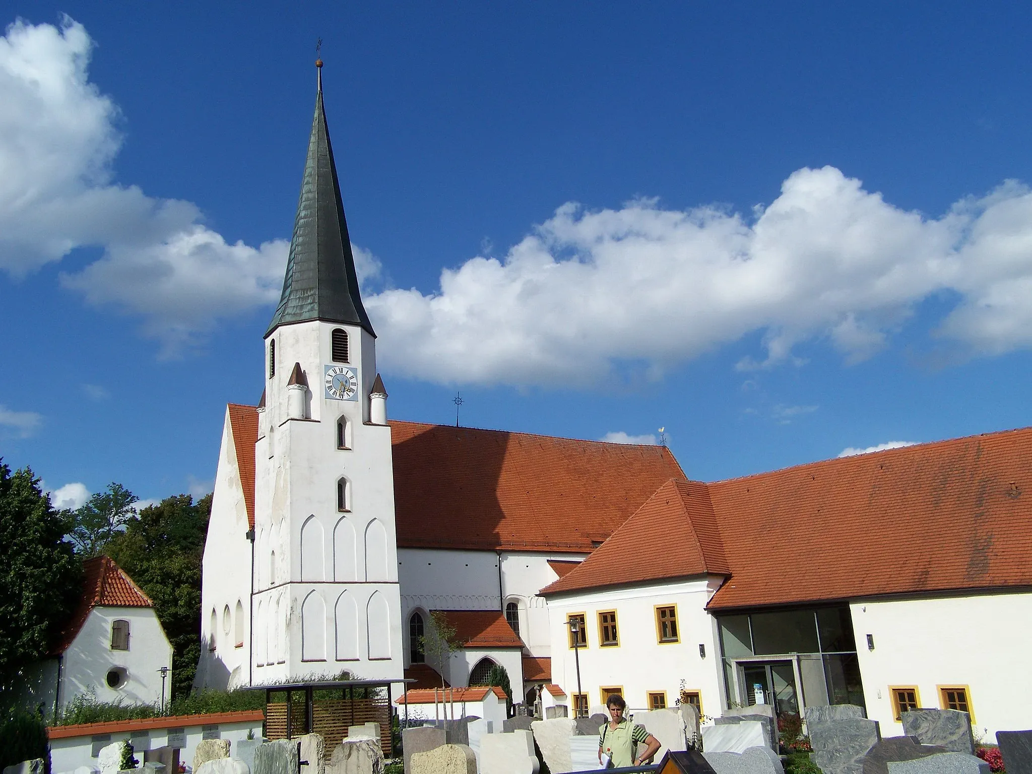
Mamming, a locality in the Niederbayern region of Germany, offers a mix of flat and hilly terrain suitable for road and gravel cycling. The region is renowned for its picturesque landscapes and charming villages, making it a popular tourist destination. Cyclists can enjoy exploring the gently rolling countryside or challenge themselves with hilly routes that pass through quaint Bavarian towns. With well-maintained roads and scenic views, Mamming is a cyclist-friendly area that is sure to delight two-wheeled enthusiasts.
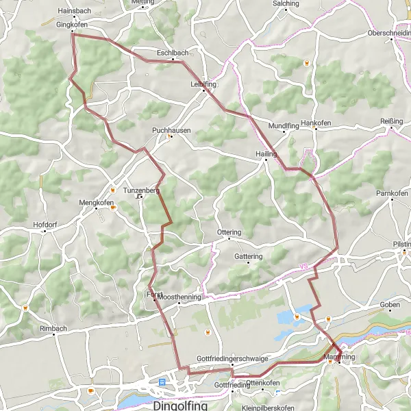
Embark on an exciting gravel cycling journey from Gottfrieding to Mammingerschwaigen
This 60 km gravel route takes cyclists from Gottfrieding to Mammingerschwaigen. With an ascent of 634 meters, it provides a challenging yet rewarding experience for gravel enthusiasts. The route passes through Hüttenkofen, Haining, Leiblfing, and Großköllnbach, offering diverse landscapes and picturesque views. Cyclists can immerse themselves in the rich cultural heritage and relax in the peaceful surroundings. The route showcases stunning nature and invites cyclists to explore the hidden gems of the Bavarian countryside.
Mamming Gravel Adventure
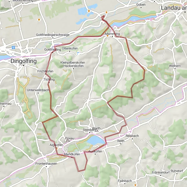
Embark on a gravel adventure through the scenic Mamming region.
Discover the breathtaking beauty of Mamming on this 46 km gravel route. With a total ascent of 407 meters, the route offers a medium-level challenge suitable for intermediate riders. The highlights include Mamming, where you can explore the charming village, Aunkofen - known for its picturesque landscapes, and Gottfrieding - a hidden gem with its tranquil atmosphere. This route provides an exciting gravel adventure with an epicness score of 3 out of 5.
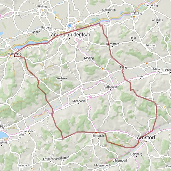
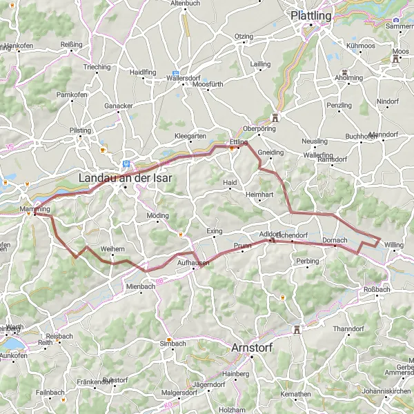
Experience the thrill of gravel cycling from Landau an der Isar to Obermünchsdorf
This 56 km gravel route takes cyclists from Landau an der Isar to Obermünchsdorf. With an ascent of 606 meters, it provides a challenging terrain for gravel enthusiasts. The route passes through Exing and Simbach, offering scenic beauty and diverse landscapes. Cycling through Obermünchsdorf, cyclists can enjoy the rural charm and experience the authentic Bavarian lifestyle. This route is perfect for those seeking an adventurous and off-road cycling experience.
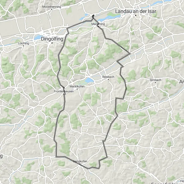
Mamming - Thürnthenning Route
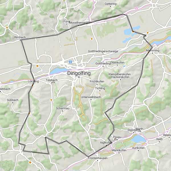
Cycle through the beautiful countryside from Mamming to Thürnthenning
This 59 km road cycling route from Mamming to Thürnthenning offers a scenic journey through picturesque landscapes. With a moderate ascent of 427 meters, it provides a good challenge for amateur cyclists. The route passes through Frontenhausen, Weigendorf, and Dornwang, offering charming villages and peaceful surroundings. Along the way, cyclists can enjoy the tranquil atmosphere and soak in the beauty of the Bavarian countryside.
Landau an der Isar Discovery
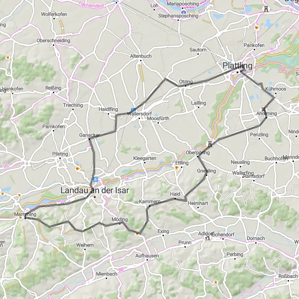
Explore the charming town of Landau an der Isar on this 71 km road cycling route.
This road cycling route takes you through the beautiful town of Landau an der Isar. With a total distance of 71 km and an ascent of 444 meters, the route offers a moderate challenge suitable for intermediate riders. The highlights of this route include Landau an der Isar, where you can explore its charming streets and historical sites, Wallersdorf - known for its beautiful architecture, and Plattling - a vibrant town with a lively atmosphere. The route provides a delightful cycling experience with an epicness score of 3 out of 5.
Gottfrieding Adventure
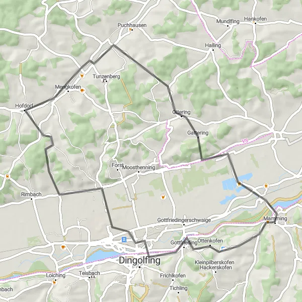
Experience the adventure of cycling through Gottfriediing on this 48 km road cycling route.
This road cycling route takes you through the stunning landscapes of Gottfrieding. With a total distance of 48 km and an ascent of 485 meters, it offers a medium-level challenge suitable for intermediate riders. The highlights of this route include Gottfrieding - a hidden gem known for its peaceful atmosphere, Hofdorf - a charming countryside village with beautiful vistas, Dengkofen - a quaint town famous for its historical landmarks, and Mammingerschwaigen - a picturesque countryside area with stunning views. The route promises an exciting adventure with an epicness score of 3 out of 5.
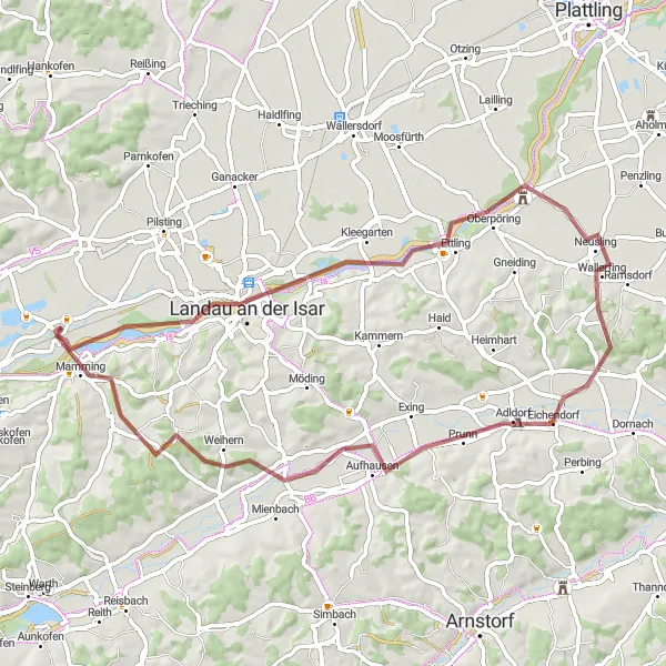
Experience the thrill of gravel cycling from Landau an der Isar to Aufhausen
This 62 km gravel route takes cyclists from Landau an der Isar to Aufhausen. With an ascent of 337 meters, it offers a moderate challenge for gravel enthusiasts. The route passes through Wallerfing and Eichendorf, providing scenic beauty and peaceful surroundings. Cyclists can explore the charming village of Aufhausen and soak in the rural ambiance. This route showcases the diverse landscapes of Bavaria and is perfect for adventure-seeking gravel cyclists.
Zeholfing - Bubach Gravel Route
Explore the scenic landscapes on a gravel adventure from Zeholfing to Bubach
This 63 km gravel route takes cyclists from Zeholfing to Bubach. With an ascent of 431 meters, it provides an exciting and varied terrain for gravel enthusiasts. The route passes through Eichendorf and Reichersdorf, offering charming villages and stunning natural beauty. Bubach marks the endpoint of this journey, where cyclists can immerse themselves in nature and enjoy the peaceful surroundings. This route is ideal for gravel cyclists seeking a mix of challenging trails and beautiful landscapes.
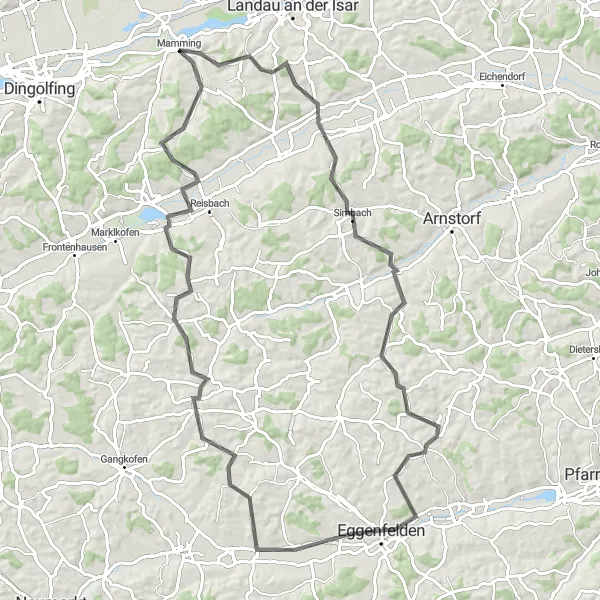
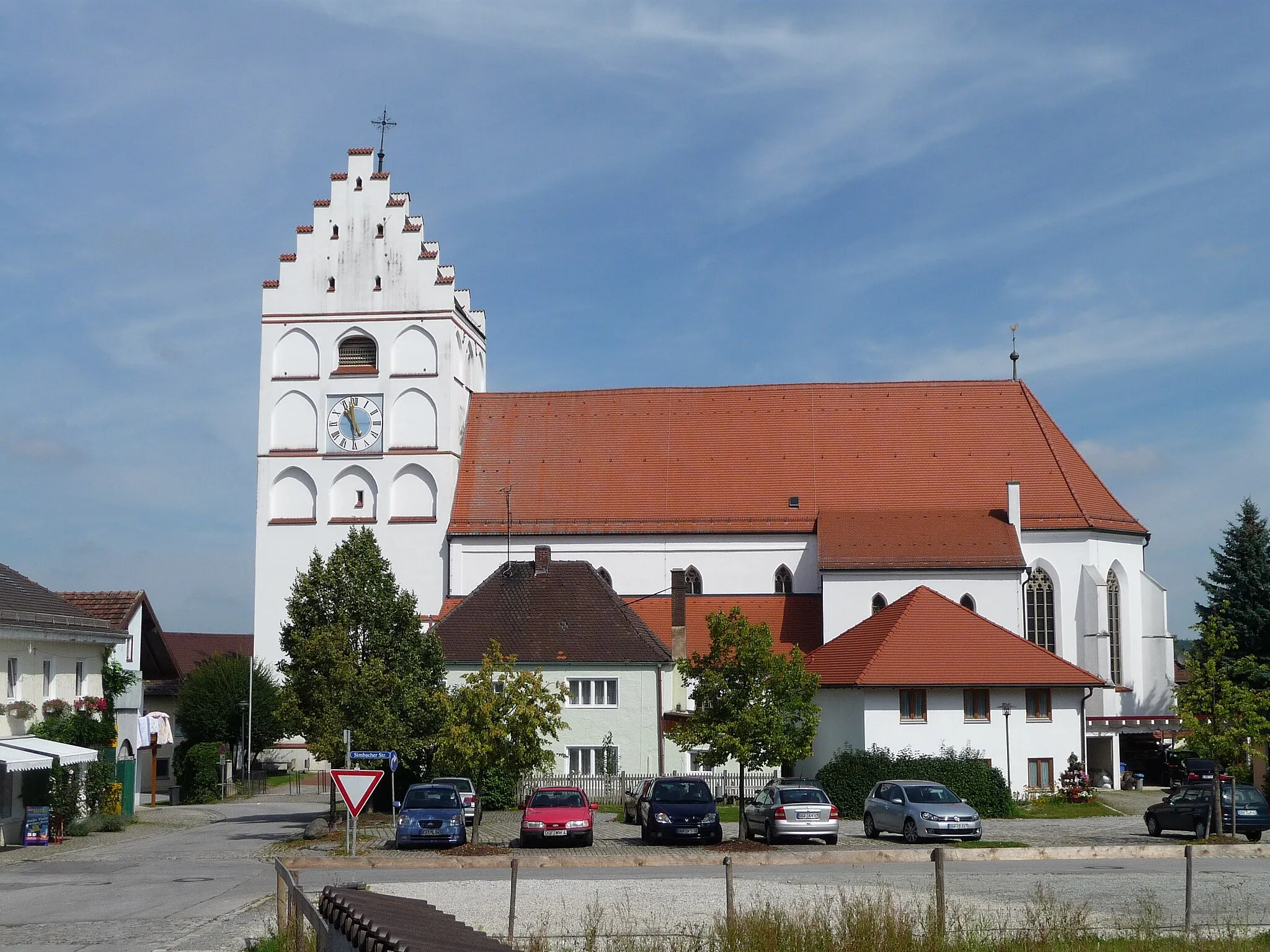
Haberskirchen Circuit
Experience the picturesque beauty of Haberskirchen on this 76 km road cycling route.
Cycle through the scenic landscapes of Haberskirchen on this 76 km road cycling route. With a total ascent of 678 meters, it offers a moderate challenge suitable for intermediate riders. The highlights of this route include Mamming - a charming village with a rich cultural heritage, Haberskirchen - known for its picturesque landscapes and stunning natural beauty, and Frontenhausen - a quaint town with warm hospitality. This route guarantees an exciting and scenic cycling experience with an epicness score of 3 out of 5.
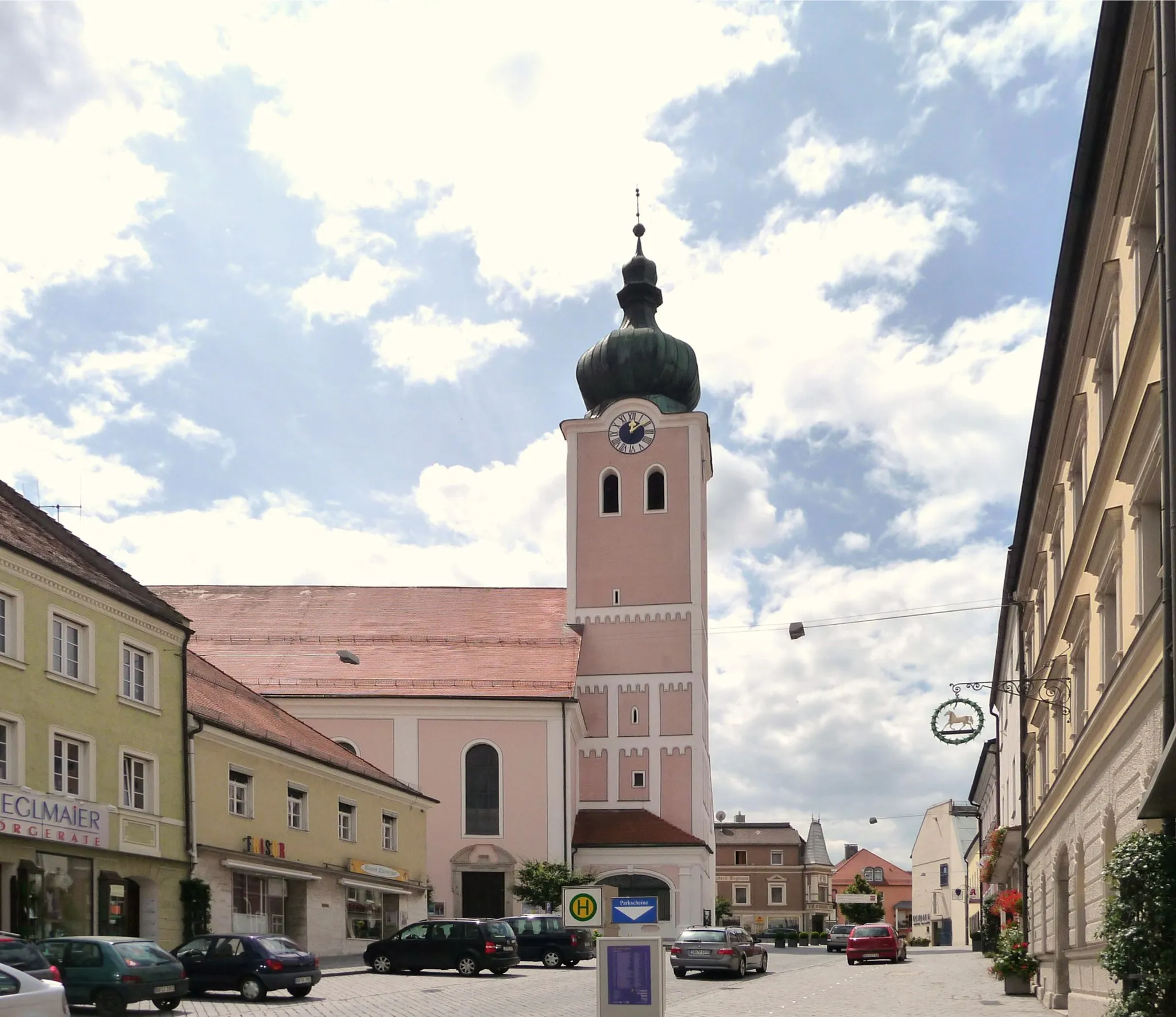
Experience the beauty of Mettenhausen on this 90 km road cycling route.
This stunning road cycling route takes you through the picturesque village of Mettenhausen. With a total distance of 90 km, it offers a challenging ride with a total ascent of 1038 meters. The route is suitable for well-trained amateurs with a difficulty level of 3 out of 5. The highlights of this route include Simpson's Market Square in Mettenhausen, Eggenfelden - known for its rich history and cultural heritage, and Englmannsberg - a charming village with breathtaking views. The route guarantees an epic experience with an epicness score of 4 out of 5.
Cycling routes nearby:


Nearby regions: