The Gravel Adventure
A gravel cycling route starting from Dingolfing
Embark on a picturesque gravel adventure near Dingolfing
Map
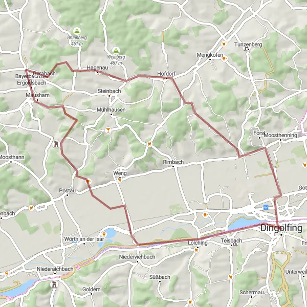
Venture off the beaten path and explore the stunning countryside surrounding Dingolfing. This gravel route offers a unique and thrilling cycling experience with its meandering trails and scenic landscapes. Challenge yourself with a moderate amount of ascent and a distance of 49 kilometers, perfect for an intermediate-level cyclist. Discover charming villages along the way and immerse yourself in the rural beauty of Niederbayern.
gravel
49 km
374 m
Tough
Route profile
Highlights on the route
0 km
0 km
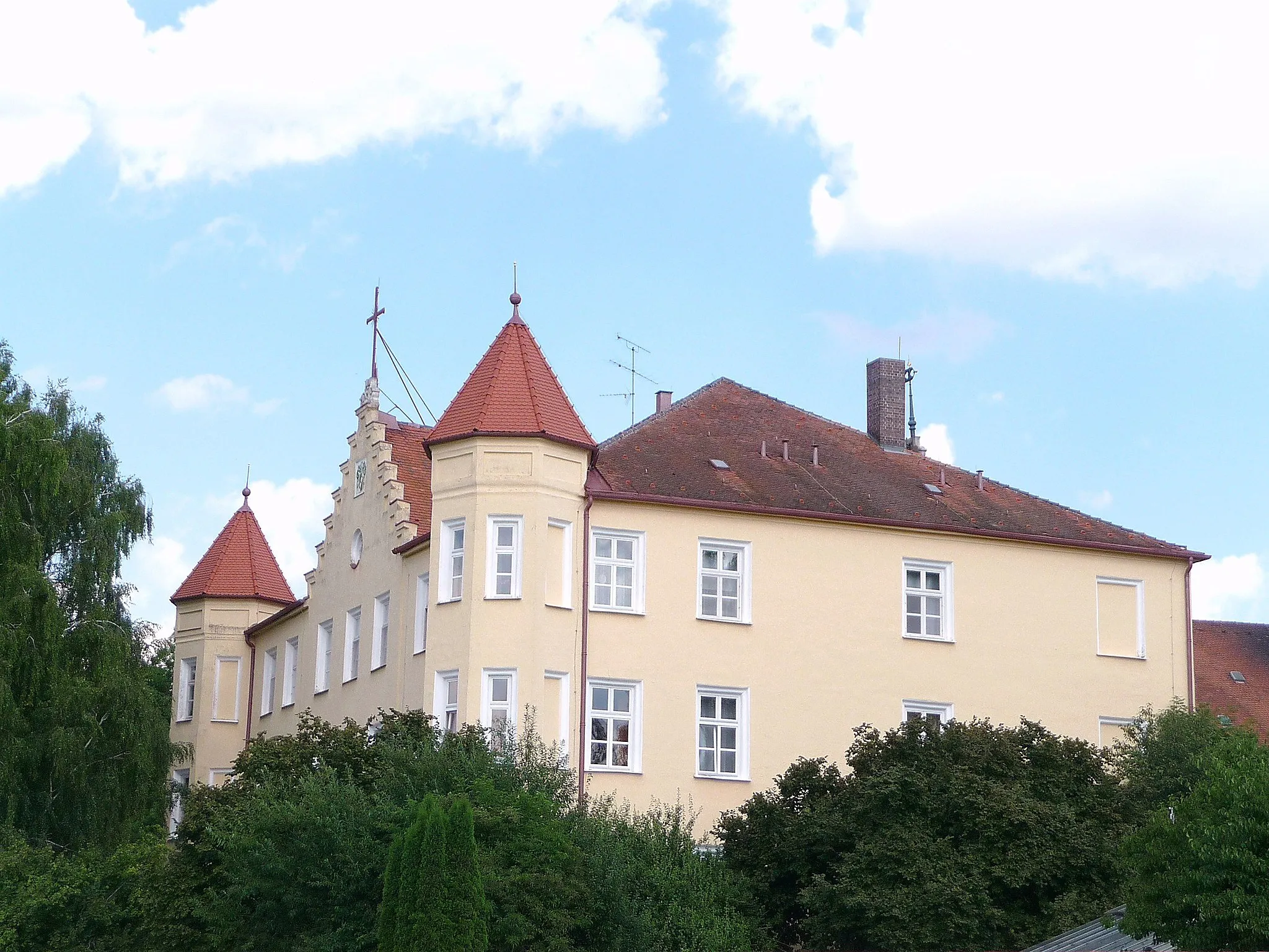
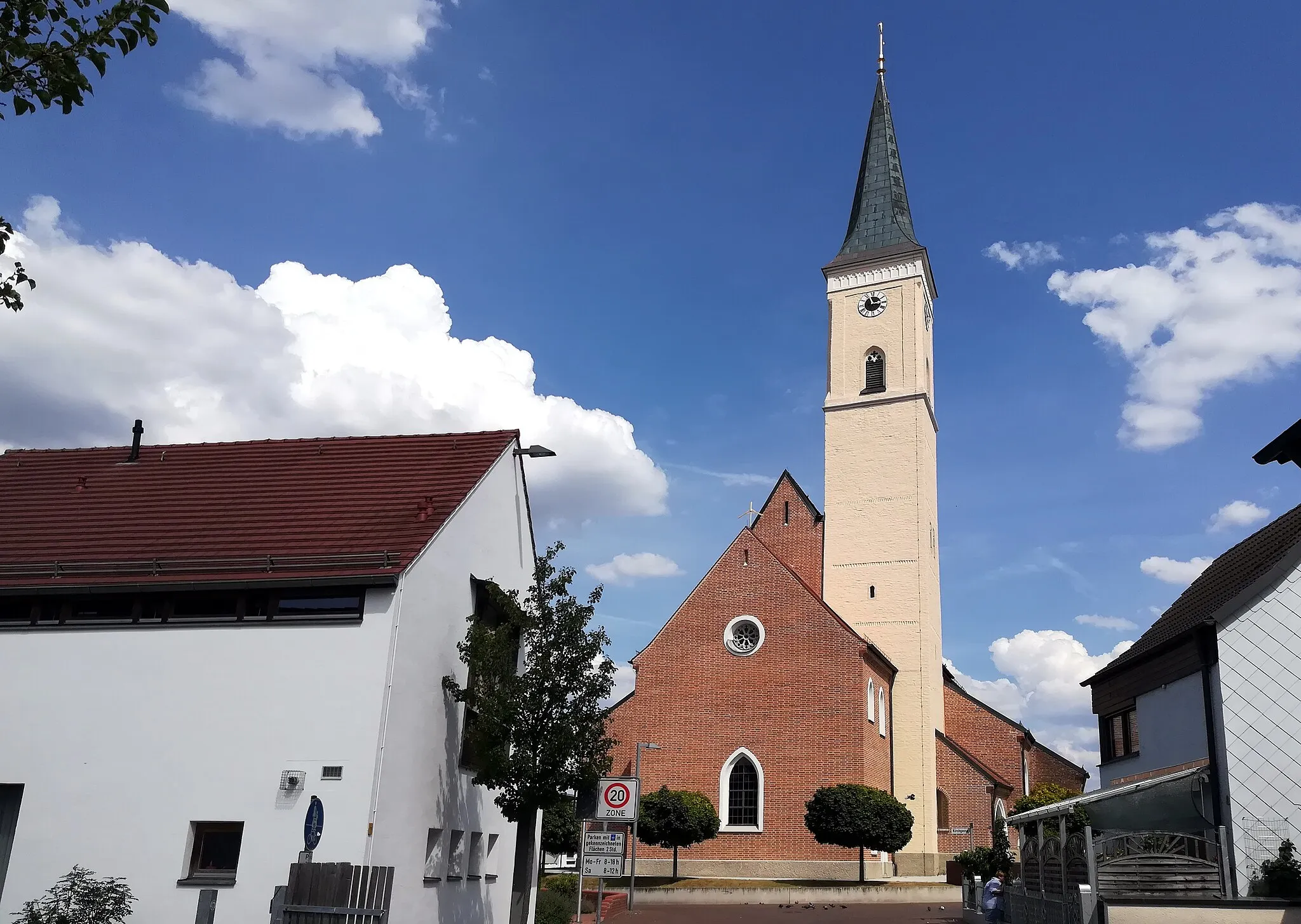
Start: Dingolfing City centerDingolfing: Cycling paradise in Niederbayern with scenic routes and challenging climbs nearby.
Dingolfing is a charming town located in Niederbayern, Germany. As a road and gravel cyclist, you'll appreciate the town's well-maintained cycling infrastructure and the variety of bike-friendly routes available. Dingolfing is surrounded by beautiful scenery, making it an ideal base for exploring the rolling hills and picturesque landscapes of the region. Additionally, there are several nearby climbs and cycling routes that offer exciting challenges for more experienced riders. Whether you're after leisurely rides or intense training sessions, Dingolfing has something to offer for every cyclist.3 km
3 km
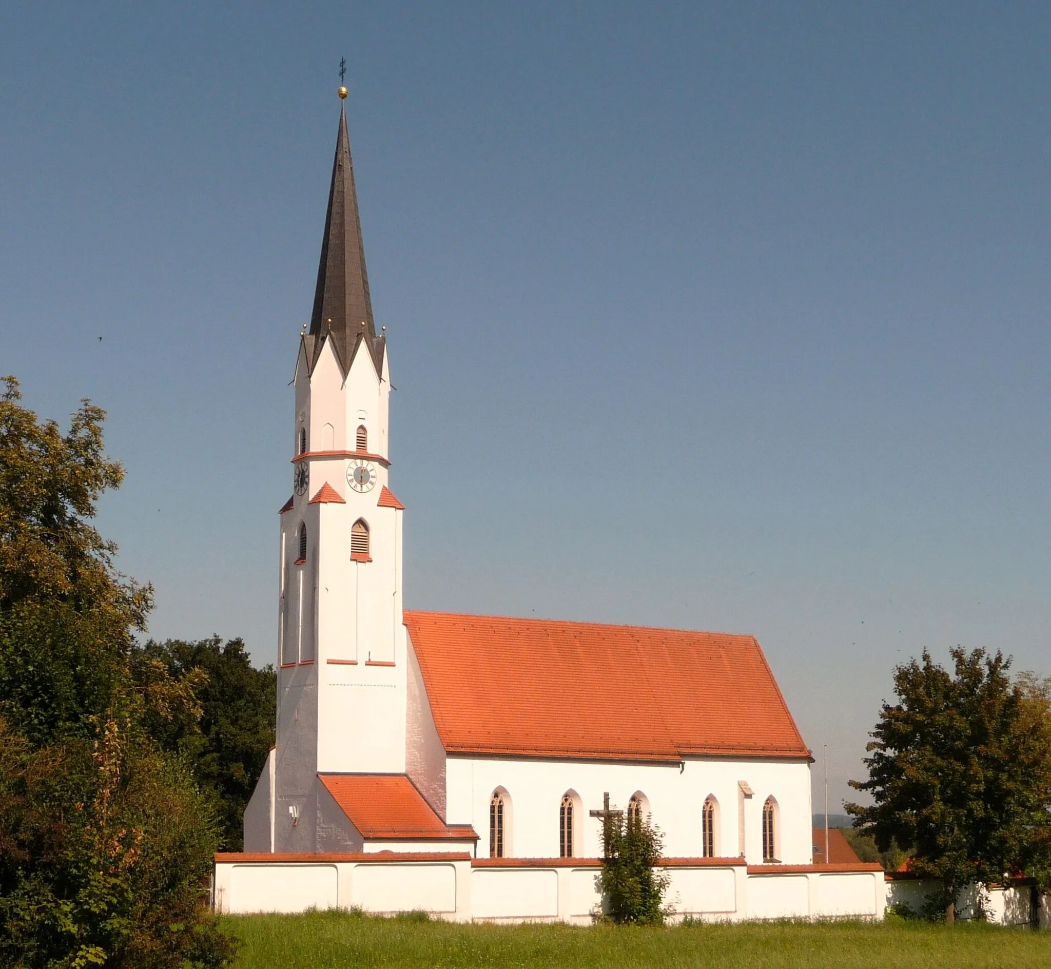
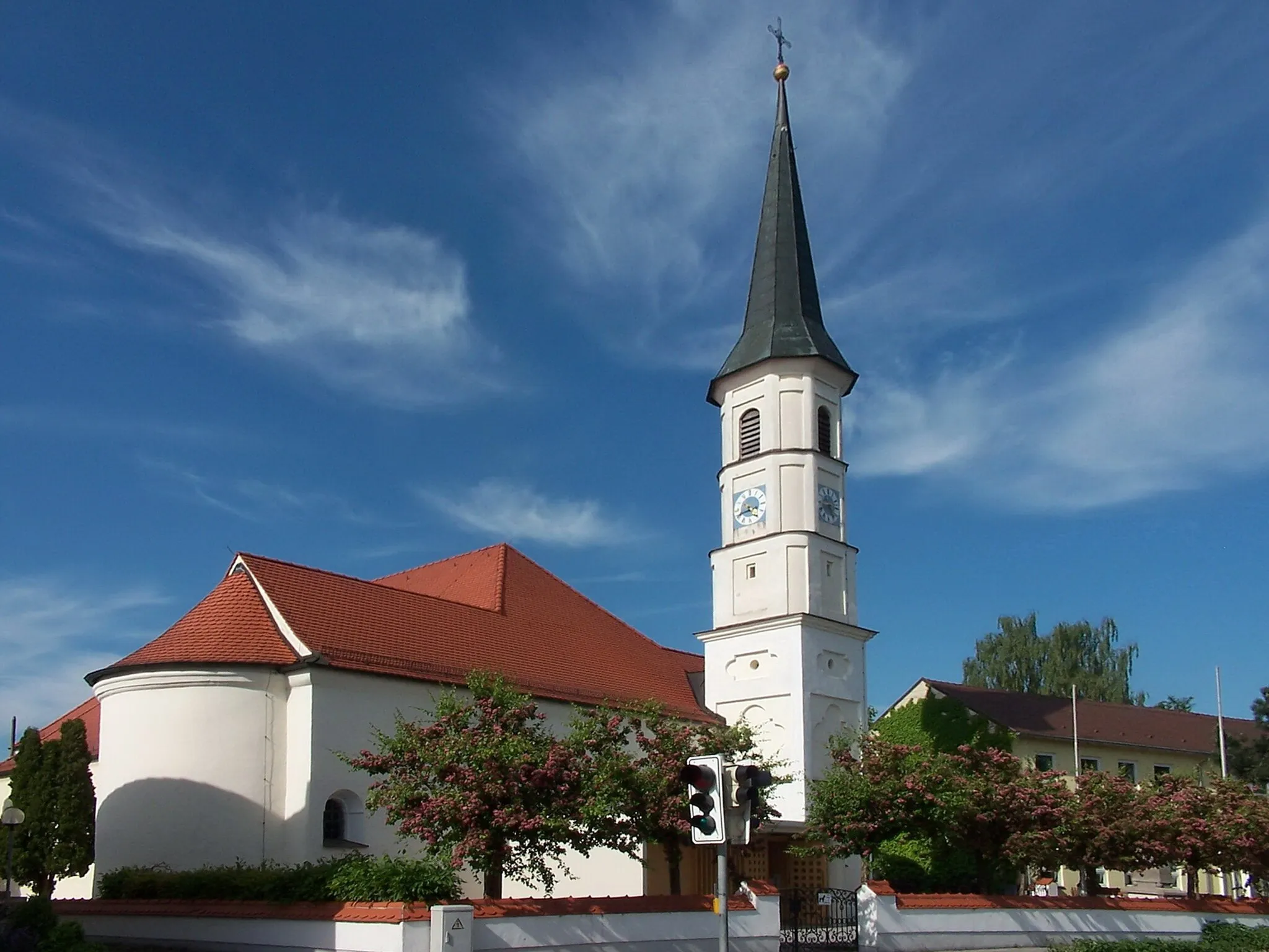
TeisbachVillageLocated at the 3-kilometer mark of your route, Teisbach is a quaint village known for its historic buildings and traditional charm.
15 km
15 km
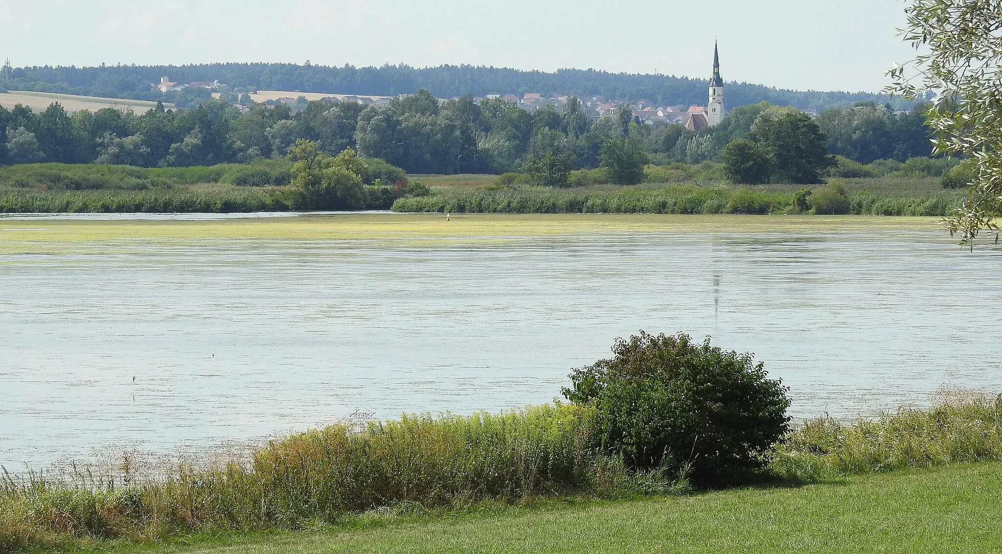
UnholzingVillagePassing through Unholzing at the 15-kilometer mark, you'll be enchanted by its idyllic farmlands and quiet atmosphere.
29 km
29 km
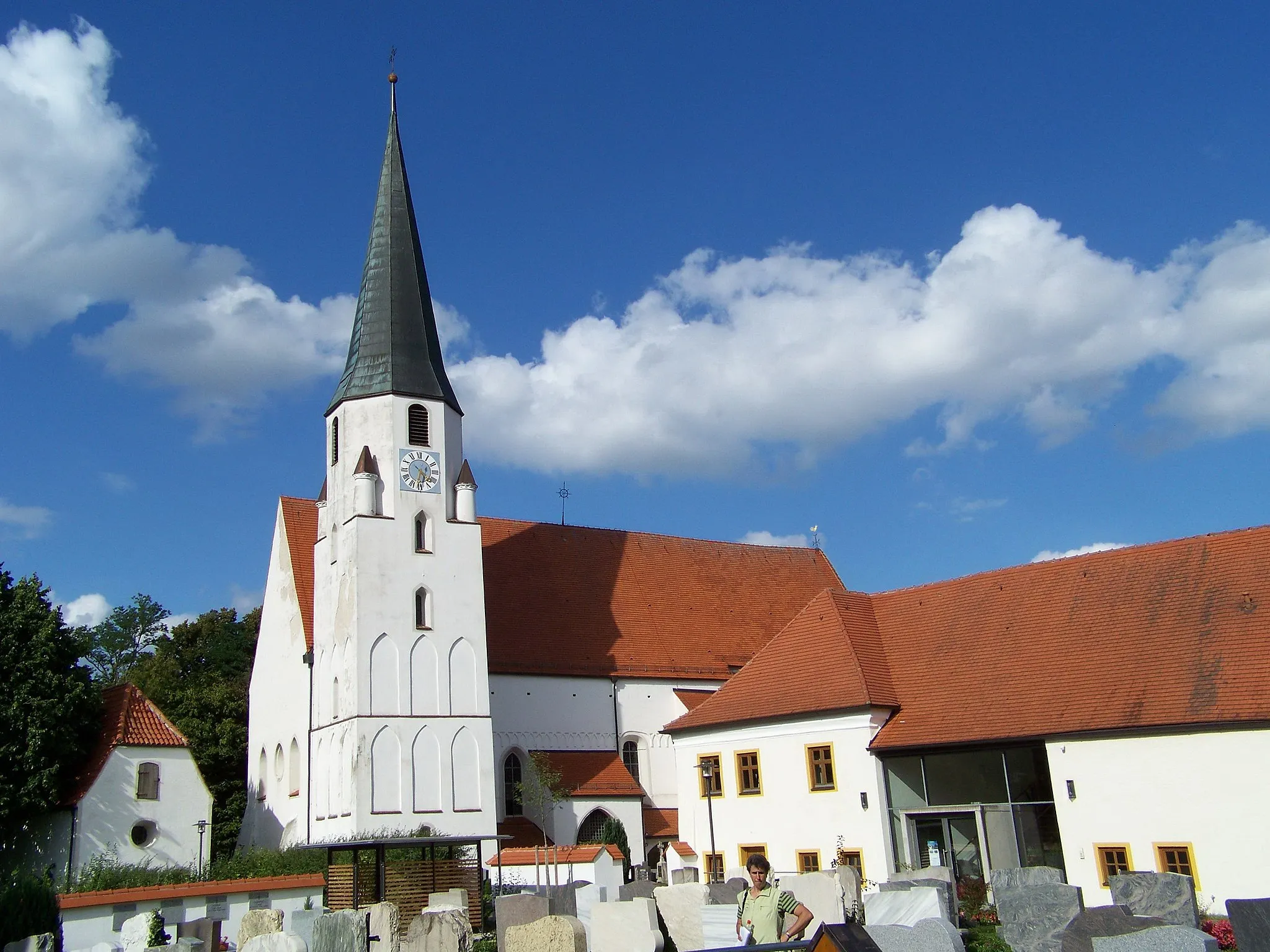
GinhartHamletAt the 29-kilometer mark lies Ginhart, a small village surrounded by rolling hills and picturesque meadows.
34 km
34 km
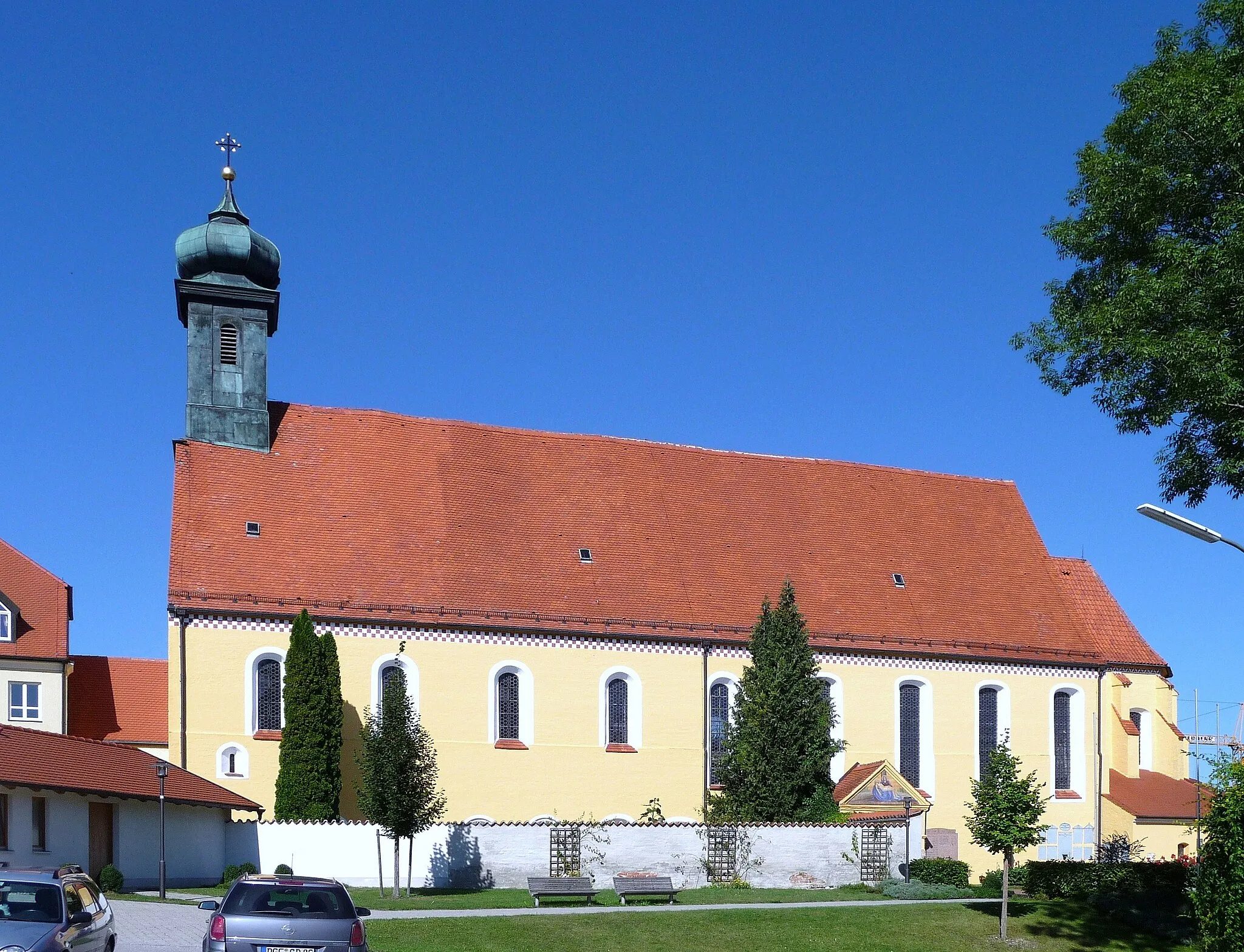
HofdorfVillageHofdorf, located at the 34-kilometer mark, is characterized by its scenic countryside and traditional Bavarian architecture.
49 km
49 km
DingolfingTownYour journey concludes in Dingolfing, a charming town with a rich history and numerous cultural attractions.
49 km
49 km
Finish: Dingolfing City centerDingolfing: Cycling paradise in Niederbayern with scenic routes and challenging climbs nearby.
Cycling routes from Dingolfing:
Gravel Loop to Schermau and Wörth an der Isar Scenic Gravel Adventure to Moosthenning and Gottfrieding Road Cycling Loop with Marklkofen and Neumarkt-Sankt Veit Road Cycling Adventure to Weng and Hüttenkofen The Charming Countryside Loop The Ultimate Challenge The Countryside Delight The Gravel Adventure The Countryside Escape Exploratory Gravel Route to Geiselhöring and Straubing
Cycling routes nearby: