Waldkirchen Loop
A gravel cycling route starting from Haselbach
A scenic loop passing through Waldkirchen
Map
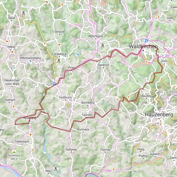
Take a ride on this scenic gravel cycling loop, starting near Haselbach. With an ascent of 1355 meters and a total distance of 59 kilometers, this route offers a mix of challenging uphill sections and picturesque landscapes. Explore the charming town of Waldkirchen and enjoy stunning views of the surrounding countryside.
gravel
59 km
1355 m
Tough
Route profile
Highlights on the route
0 km
0 km
Start: Haselbach Village centerHaselbach: Pedal through scenic rolling hills in Haselbach.
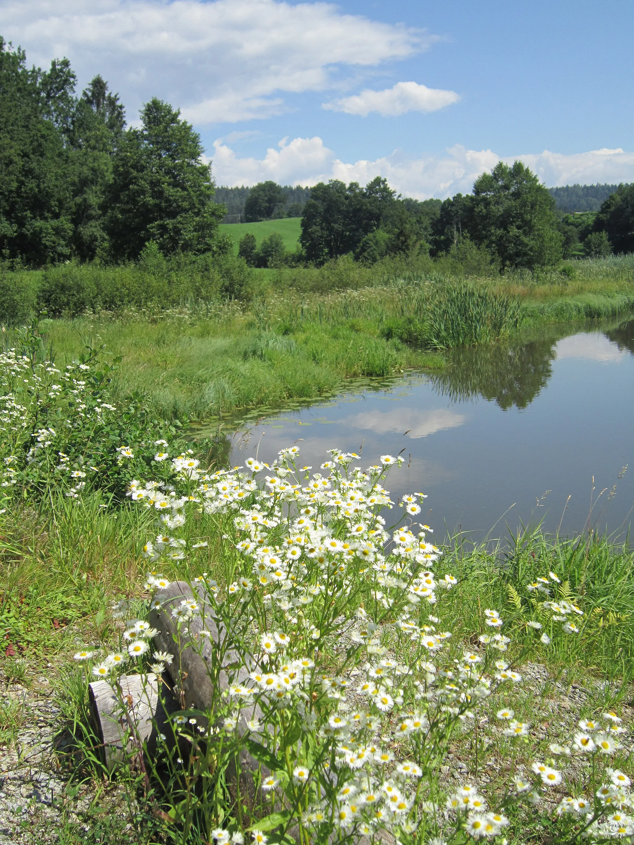
Haselbach, located in Niederbayern, Germany, offers decent cycling opportunities for road and gravel cyclists. The local roads are generally in good condition, but caution is advised as some routes may have heavier traffic. The landscape surrounding Haselbach consists of rolling hills and beautiful rural scenery. Local cyclists often enjoy riding on the nearby Rottal Cycling Path, which offers a paved and flat route suitable for all skill levels. While Haselbach may not have any particularly famous cycling-related spots or well-known climbs, it provides a pleasant setting for cyclists to explore.23 km
23 km
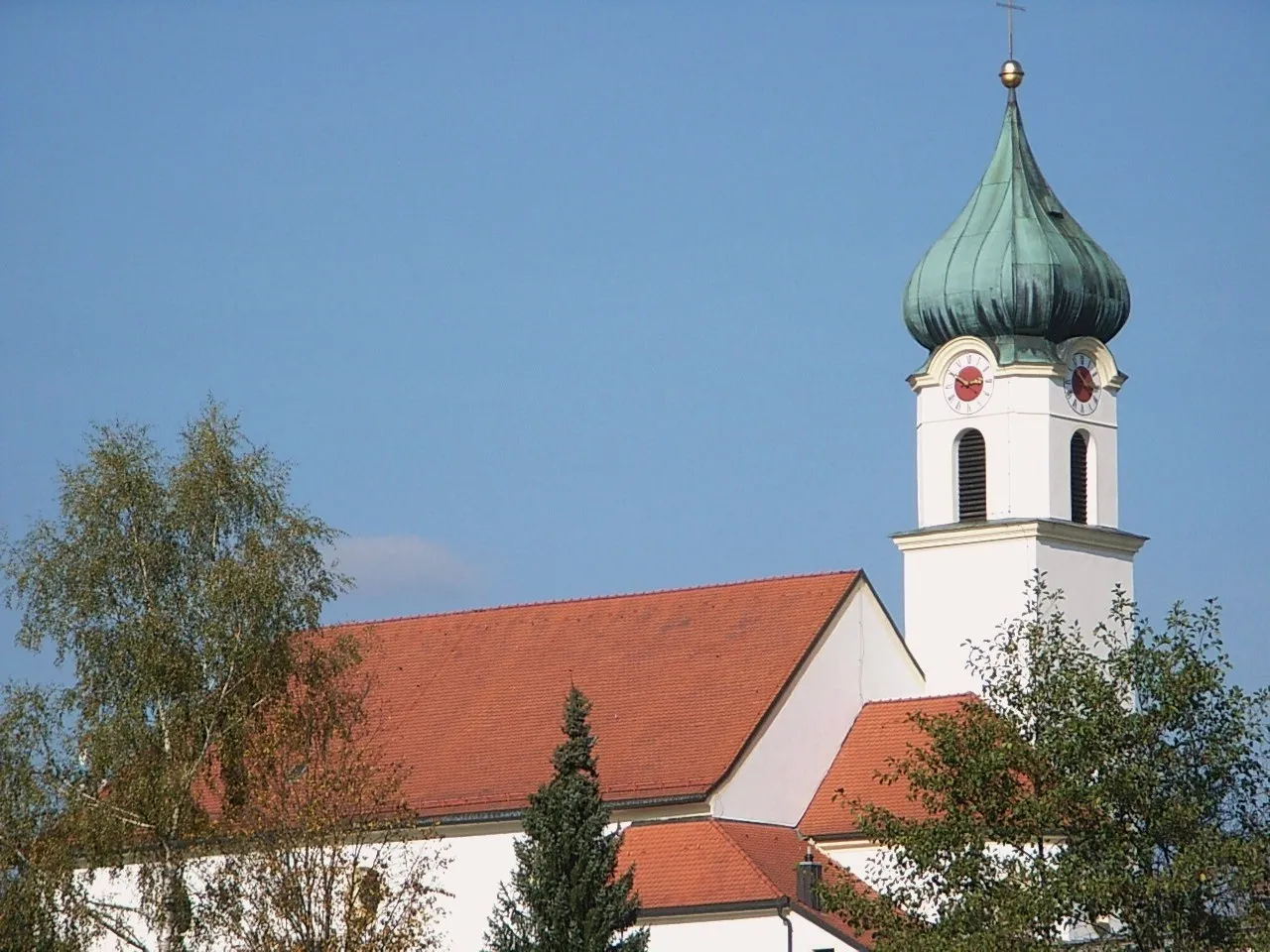
KaroliViewpointKaroli is a famous pilgrimage site, known for its impressive Baroque church.
24 km
24 km
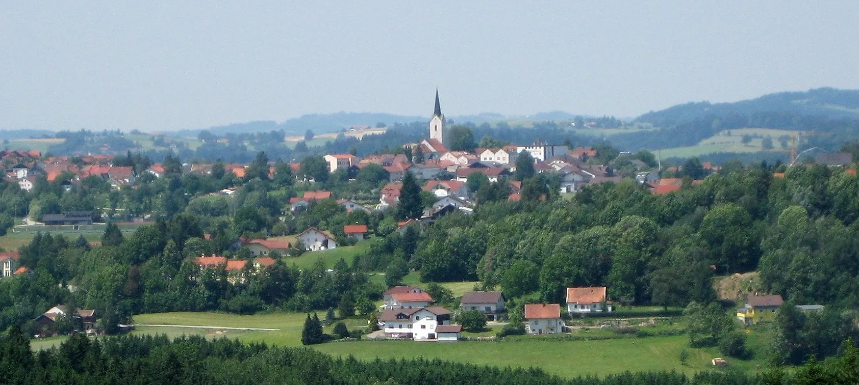
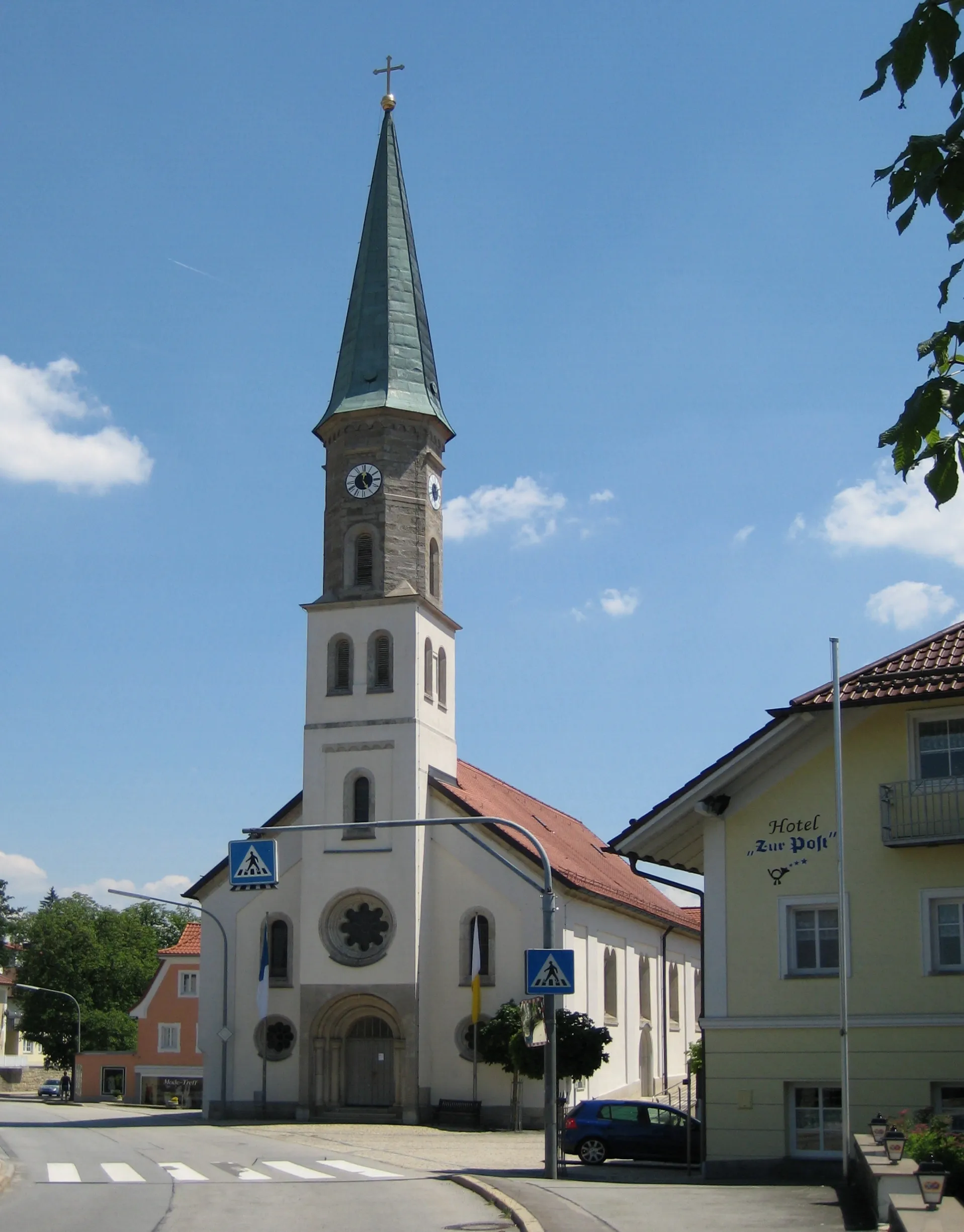
WaldkirchenTownIn Waldkirchen, you can visit the market square and explore the historic city center.
35 km
35 km
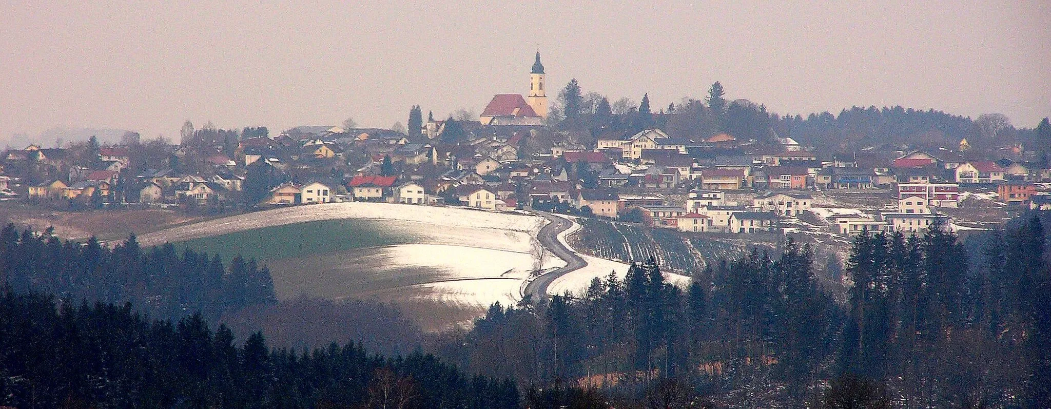
Steinberg830 mPeakSteinberg is a small village with beautiful traditional Bavarian houses and charming streets.
40 km
40 km
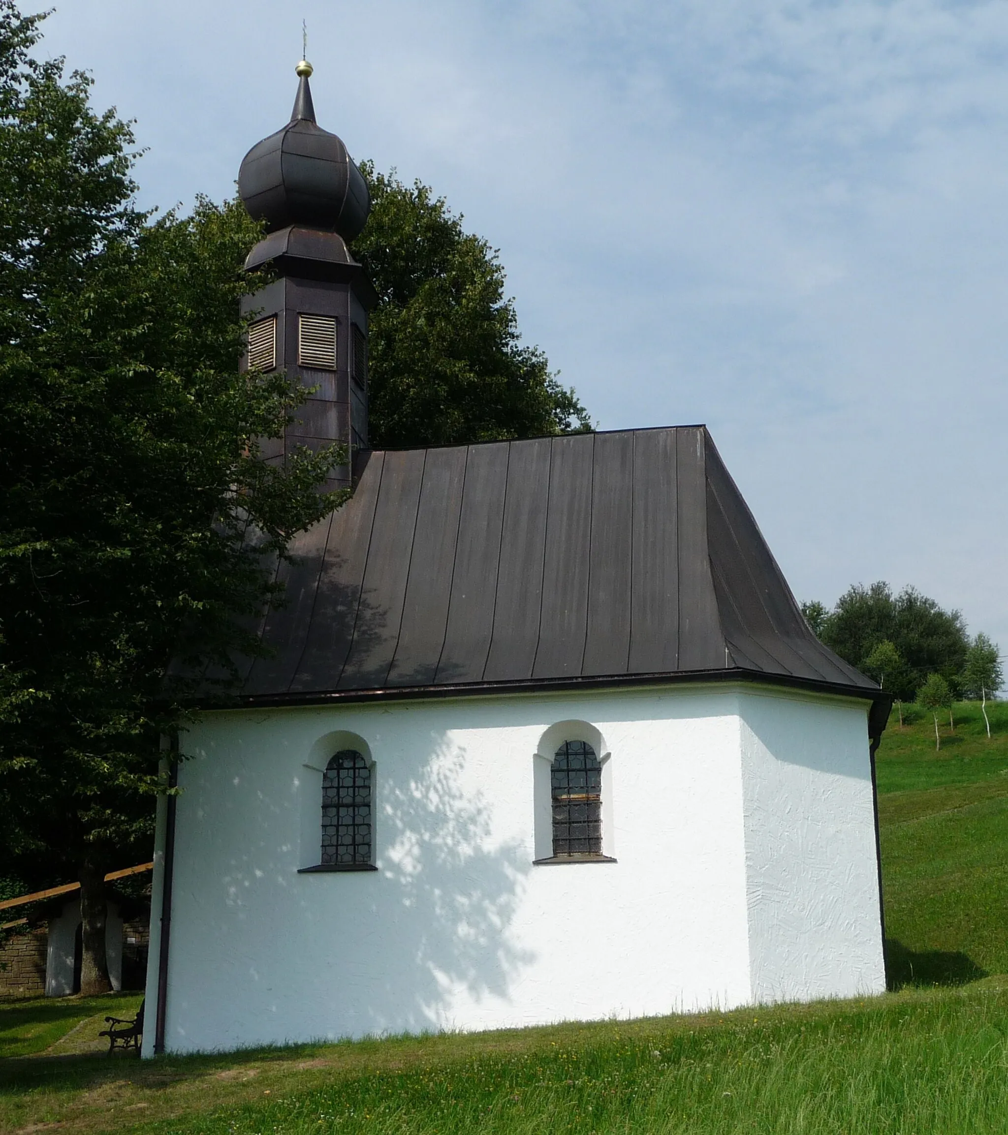
EitzingerreutHamletEitzingerreut is a picturesque village nestled in the countryside, offering peaceful surroundings.
57 km
57 km
RudertingVillageRuderting is a scenic spot where you can enjoy panoramic views of the region.
59 km
59 km
Finish: Haselbach Village centerHaselbach: Pedal through scenic rolling hills in Haselbach.
Cycling routes nearby: