Passau Loop
A road cycling route starting from Haselbach
Cycle through the beautiful city of Passau
Map
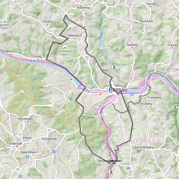
The Passau Loop is a scenic cycling route that takes you through the picturesque city of Passau in Niederbayern. Starting near Haselbach, this 47-kilometer route features a moderate ascent of 802 meters. The highlight of the route is the iconic Wetterpilz, a unique mushroom-shaped weather shelter. Along the way, you will also pass by Neuburg am Inn, known for its charming streets and historical buildings, and Heining, where you can enjoy stunning views of the surrounding countryside from the bike path.
road
47 km
802 m
Chill
Route profile
Highlights on the route
0 km
0 km
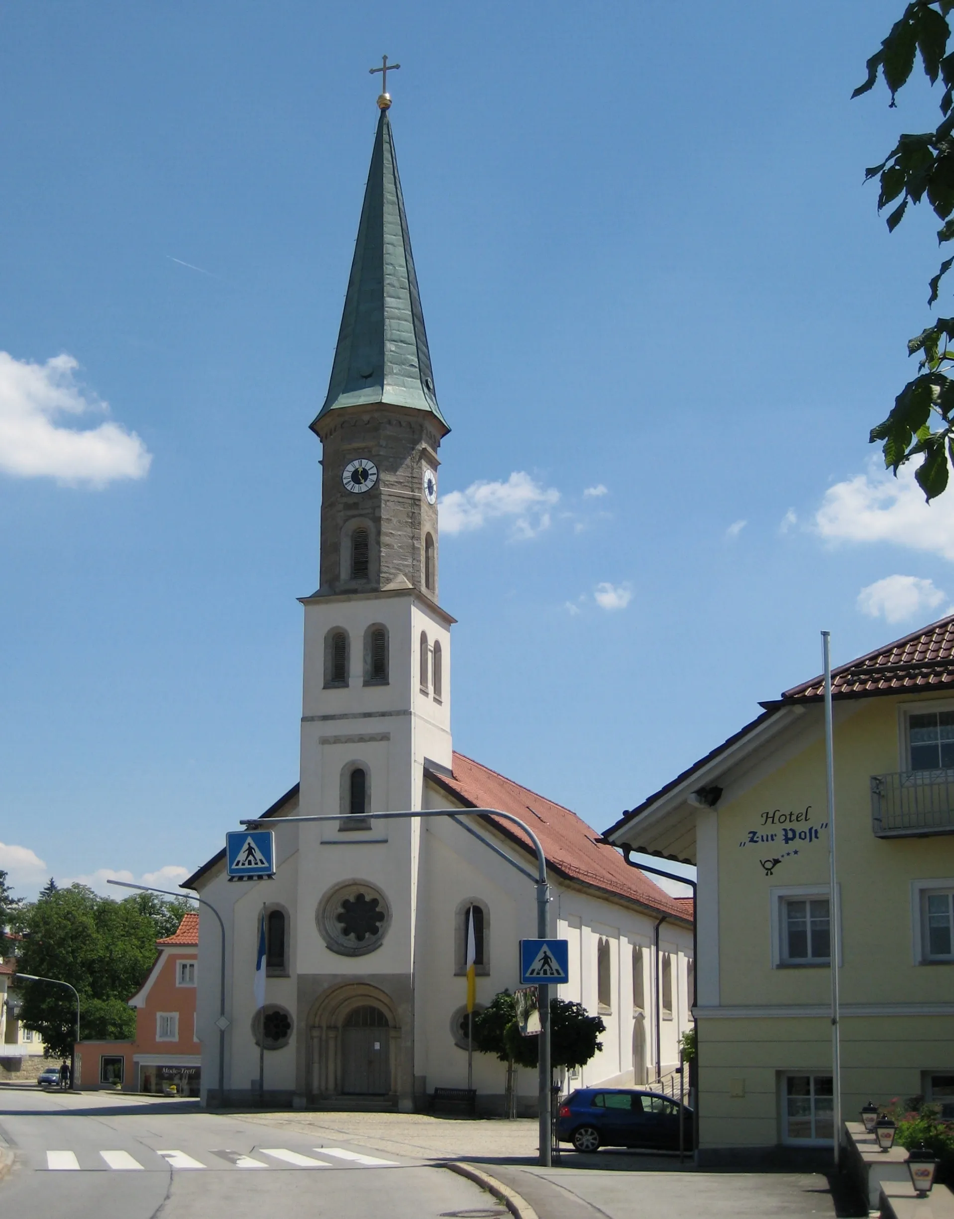
Start: Haselbach Village centerHaselbach: Pedal through scenic rolling hills in Haselbach.
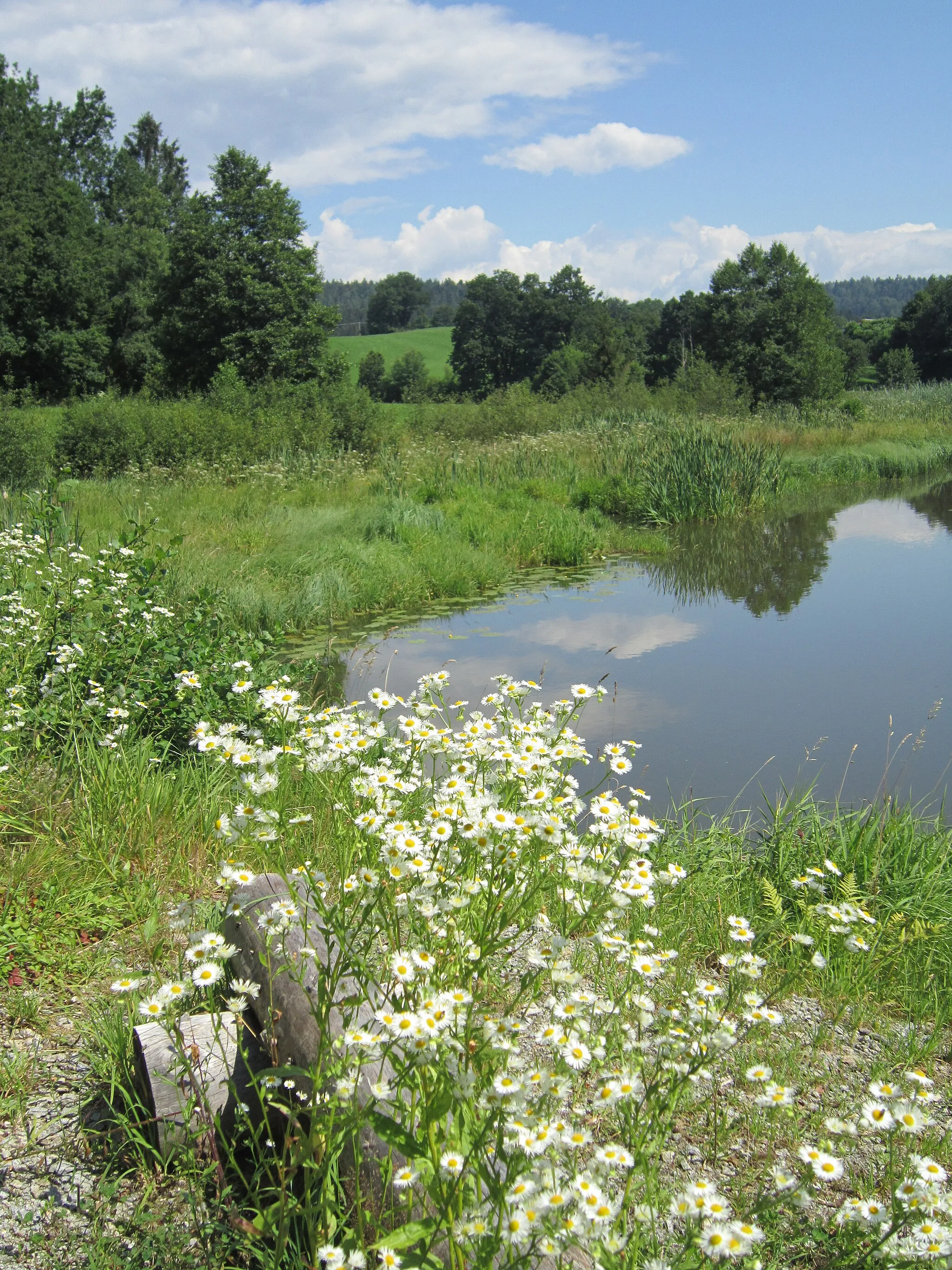
Haselbach, located in Niederbayern, Germany, offers decent cycling opportunities for road and gravel cyclists. The local roads are generally in good condition, but caution is advised as some routes may have heavier traffic. The landscape surrounding Haselbach consists of rolling hills and beautiful rural scenery. Local cyclists often enjoy riding on the nearby Rottal Cycling Path, which offers a paved and flat route suitable for all skill levels. While Haselbach may not have any particularly famous cycling-related spots or well-known climbs, it provides a pleasant setting for cyclists to explore.12 km
12 km
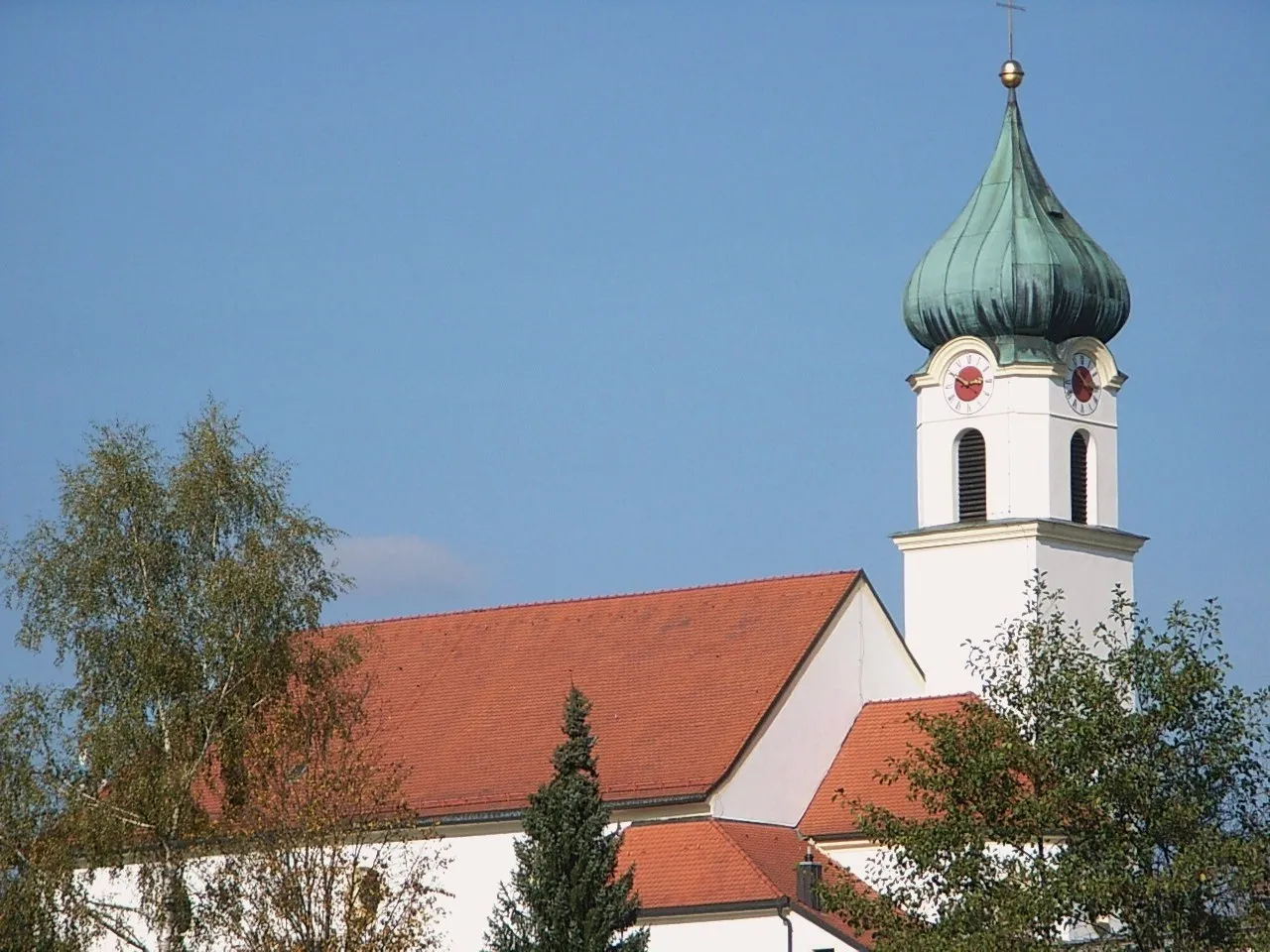
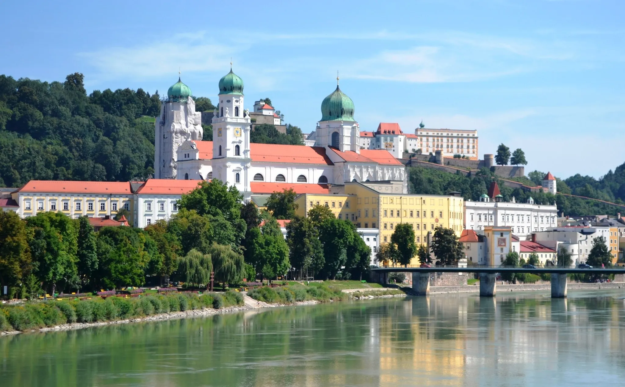
PassauTownPassau is a historic city that lies at the confluence of three rivers - the Danube, Inn, and Ilz. Explore the charming old town with its narrow alleys and baroque architecture.
12 km
12 km
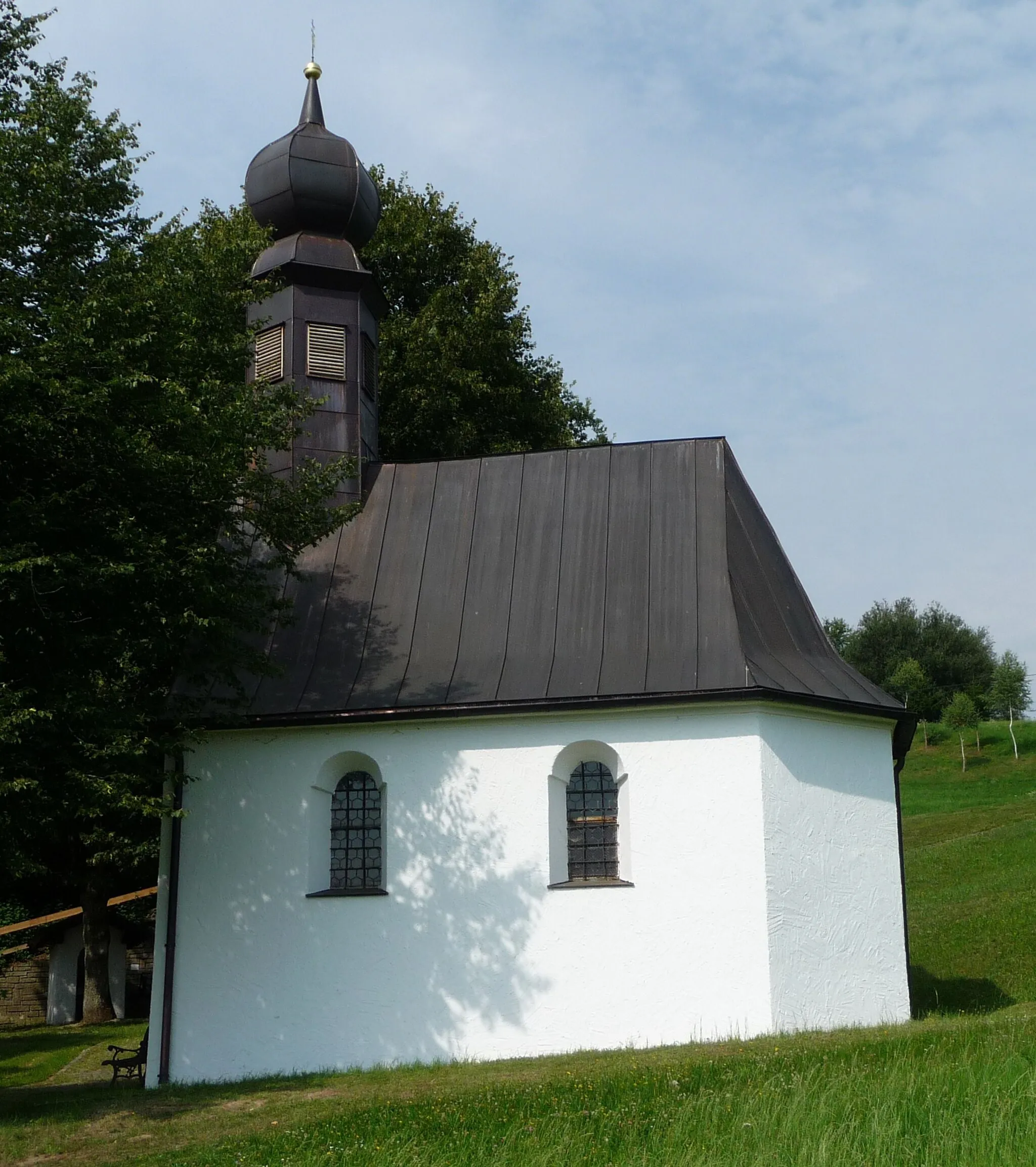
WetterpilzViewpointThe Wetterpilz is a unique weather shelter designed by Stefan Falke. Its distinctive mushroom shape adds novelty to the surrounding landscape.
23 km
23 km
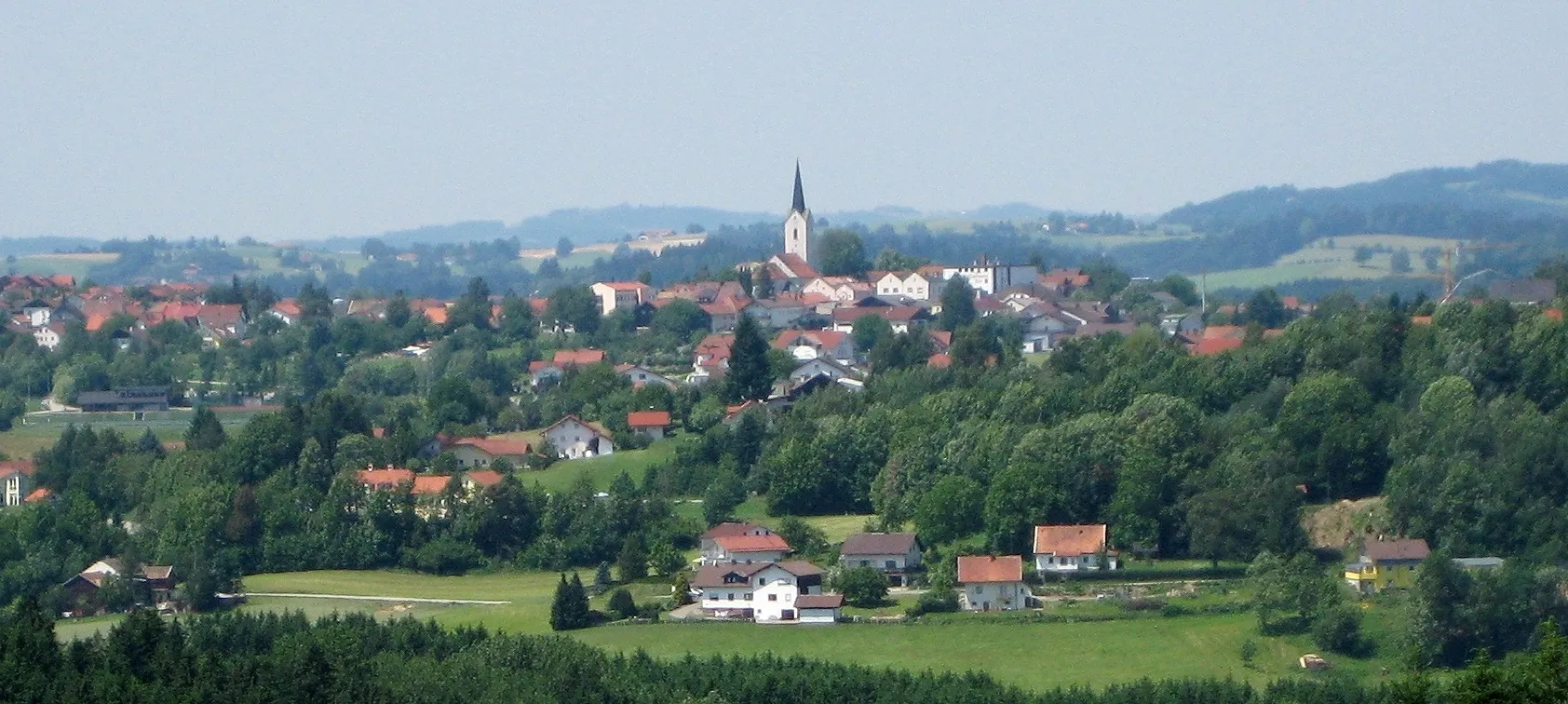
Neuburg am InnVillageNeuburg am Inn is a picturesque village located on the banks of the Inn River. Take a leisurely stroll through the town and admire the well-preserved historic buildings.
35 km
35 km
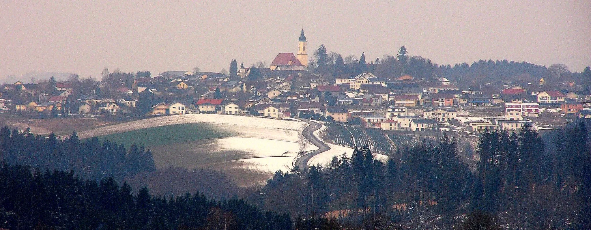
HeiningSub-urbHeining offers panoramic views of the surrounding countryside and is a great spot to take a break and enjoy the peace and tranquility.
42 km
42 km
Kastenberg386 mPeakKastenberg is a small hill that offers beautiful views of the rolling hills of Niederbayern. Take a moment to appreciate the natural beauty of the region.
47 km
47 km
Finish: Haselbach Village centerHaselbach: Pedal through scenic rolling hills in Haselbach.
Cycling routes nearby: