Rechenberg and Hengersberg Gravel Loop
A gravel cycling route starting from Hengersberg
Discover scenic landscapes on the Rechenberg and Hengersberg Gravel Loop.
Map
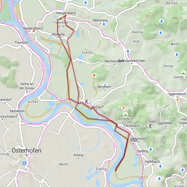
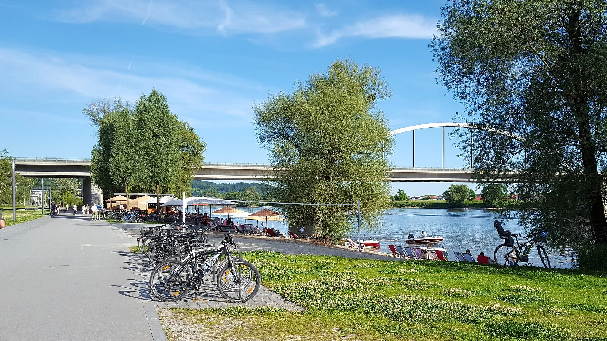
The Rechenberg and Hengersberg Gravel Loop is a 25-kilometer route that showcases the scenic beauty of Niederbayern. With only 29 meters of ascent, this route is suitable for all levels of riders. Starting in Hengersberg, the route takes you to Rechenberg, a small village known for its picturesque countryside. From there, you will pass through Ottach and Sonnenhügel, offering beautiful views of the surrounding area. The highlight of the route is Frauenberg, a 24-kilometer mark known for its stunning views of the Bavarian landscape. Overall, this short and picturesque route is perfect for riders who want to enjoy the beauty of Niederbayern at a leisurely pace.
gravel
25 km
29 m
Chill
Route profile
Highlights on the route
0 km
0 km
Start: Hengersberg Village centerHengersberg: A charming locality offering diverse cycling routes and access to nearby biking trails.
Hengersberg is a small locality located in Niederbayern, Germany. It offers a mix of scenic routes suitable for both road and gravel cycling. With its rolling hills and picturesque landscapes, Hengersberg provides a pleasant cycling experience. Additionally, the region offers easy access to nearby cycling routes and trails for added exploration. While Hengersberg may not have any famous cycling spots or well-known climbs directly in its vicinity, it serves as a great starting point for discovering the cycling routes in the surrounding areas.9 km
9 km
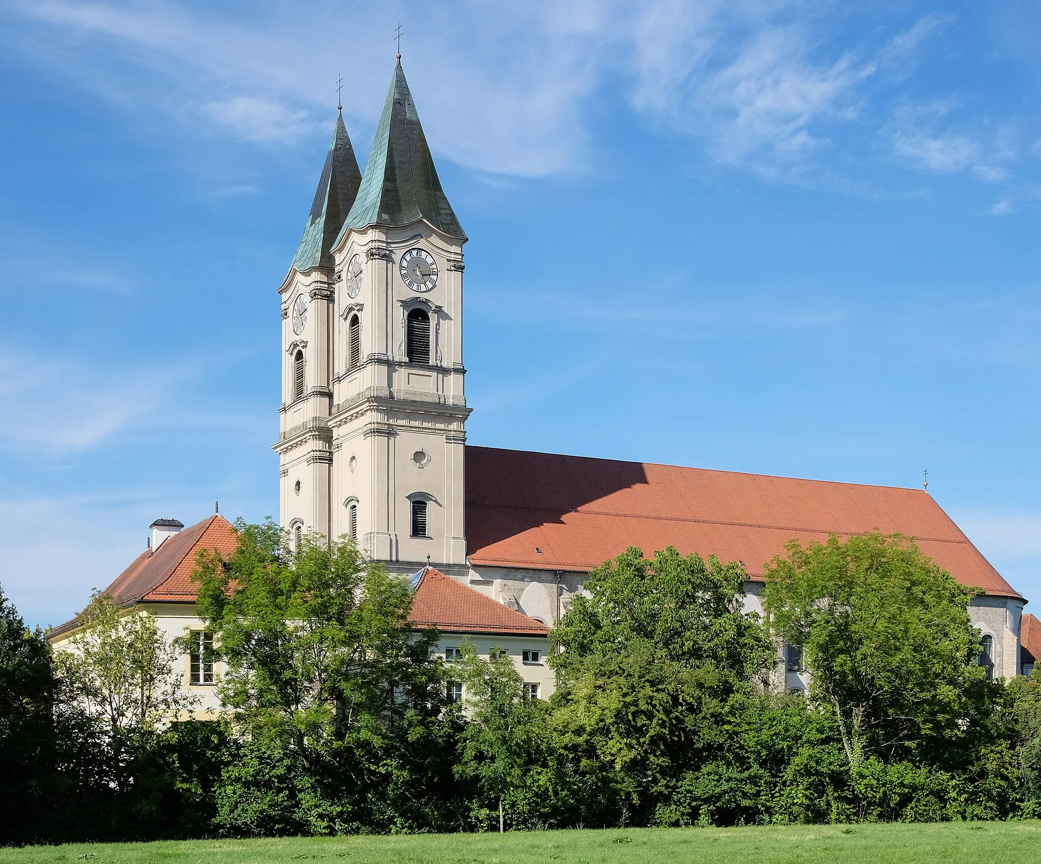
Rechenberg423 mPeakRechenberg is a small village with beautiful countryside.
9 km
9 km
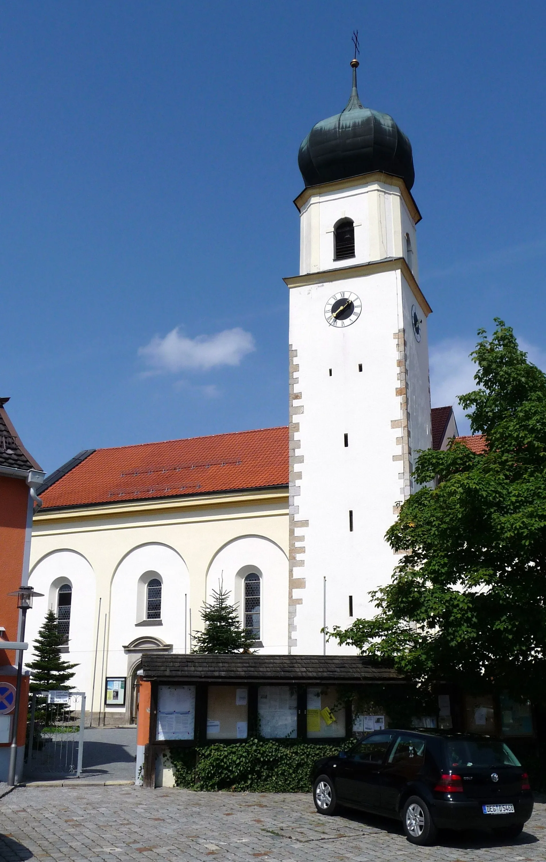
OttachHamletOttach offers picturesque views of the Bavarian landscape.
15 km
15 km
Sonnenhügel410 mPeakSonnenhügel is known for its scenic hills and meadows.
17 km
17 km
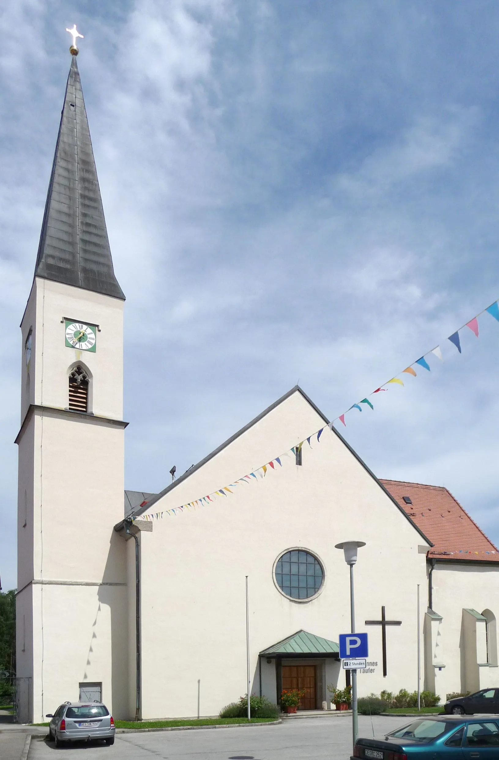
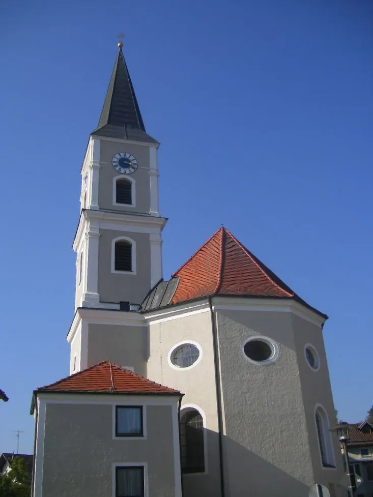
WinzerVillageWinzer is a charming town with traditional Bavarian houses.
24 km
24 km
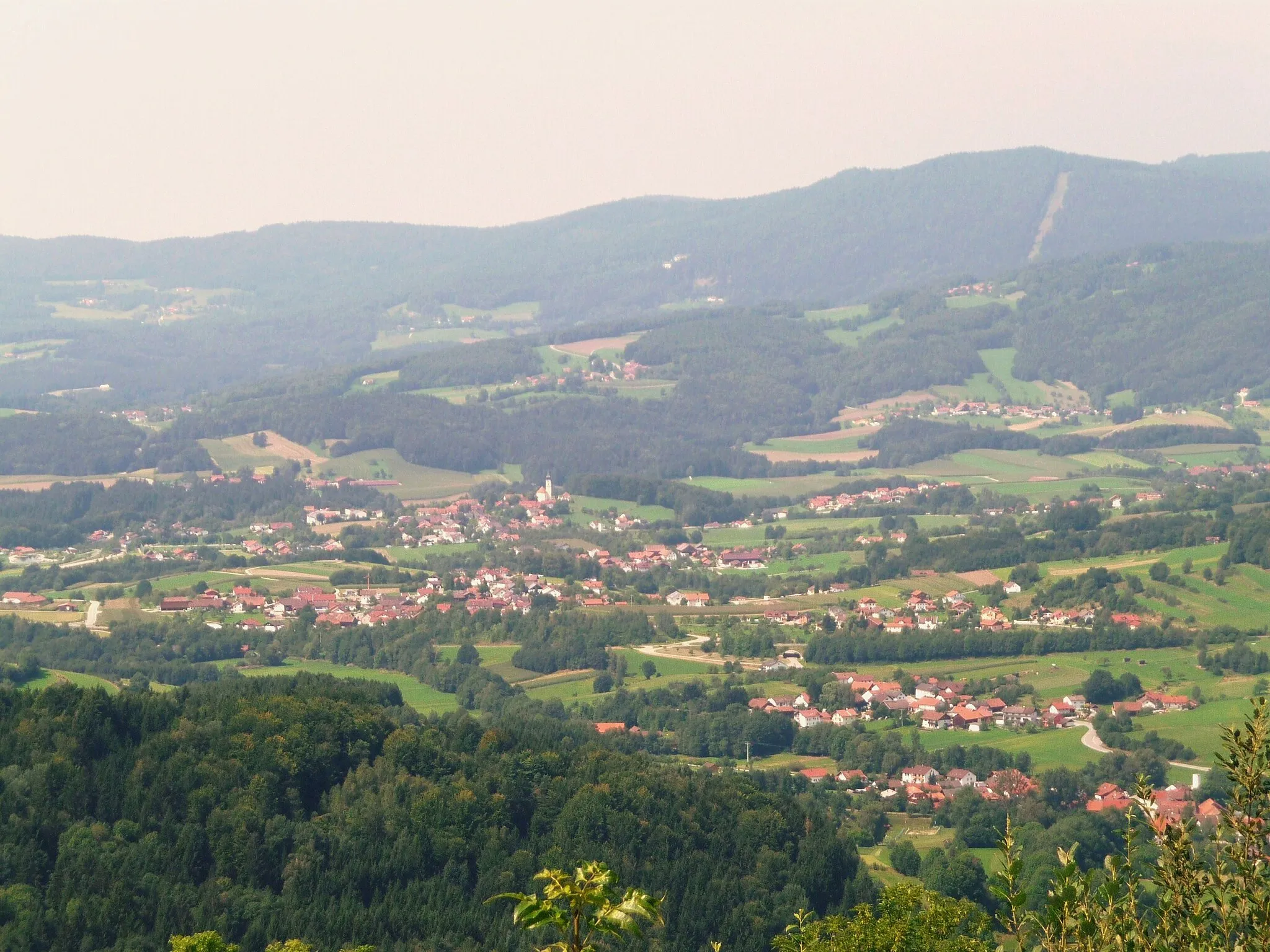
Frauenberg337 mPeakFrauenberg provides stunning views of the Bavarian countryside.
25 km
25 km
HengersbergVillageHengersberg is the starting and finishing point of the route.
25 km
25 km
Finish: Hengersberg Village centerHengersberg: A charming locality offering diverse cycling routes and access to nearby biking trails.
Cycling routes from Hengersberg:
Cycling routes nearby: