Geiersberg and Hengersberg Gravel Loop
A gravel cycling route starting from Hengersberg
The Geiersberg and Hengersberg Gravel Loop offers a challenging gravel ride with stunning views.
Map

The Geiersberg and Hengersberg Gravel Loop is a challenging 76-kilometer route that takes you through the scenic landscape of Niederbayern. With 1,516 meters of ascent, this route provides a good test for experienced riders. Starting in Hengersberg, the route takes you to Geiersberg, a hill with panoramic views of the surrounding area. From there, you will pass through picturesque towns like Deggendorf and Bernried. One of the highlights of the route is Hirschenstein, a 35-kilometer mark that offers breathtaking views of the Bavarian Forest. Overall, this route is perfect for gravel enthusiasts who are looking for a challenging and rewarding ride.
gravel
76 km
1516 m
Tough
Route profile
Highlights on the route
0 km
0 km
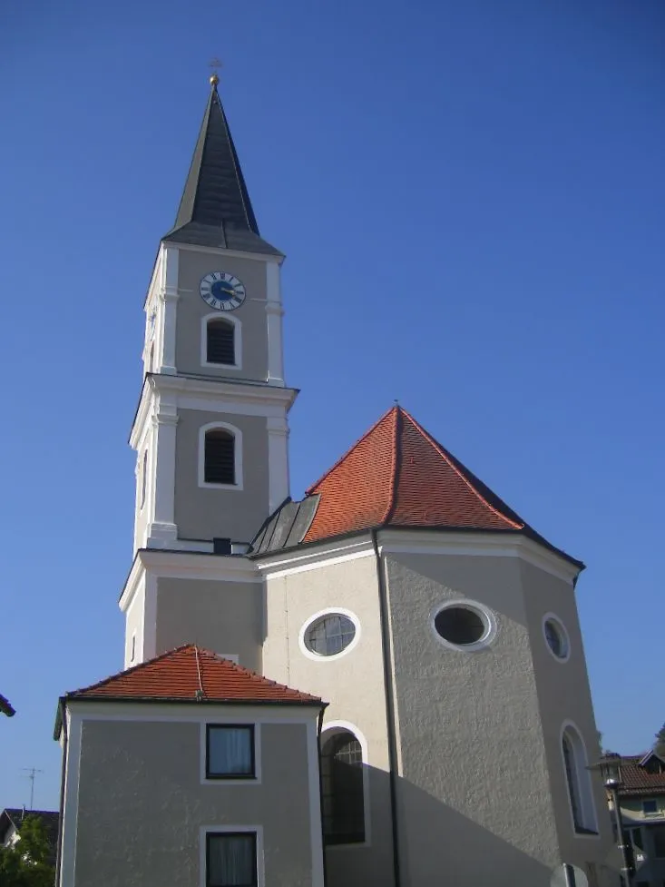
Start: Hengersberg Village centerHengersberg: A charming locality offering diverse cycling routes and access to nearby biking trails.
Hengersberg is a small locality located in Niederbayern, Germany. It offers a mix of scenic routes suitable for both road and gravel cycling. With its rolling hills and picturesque landscapes, Hengersberg provides a pleasant cycling experience. Additionally, the region offers easy access to nearby cycling routes and trails for added exploration. While Hengersberg may not have any famous cycling spots or well-known climbs directly in its vicinity, it serves as a great starting point for discovering the cycling routes in the surrounding areas.12 km
12 km
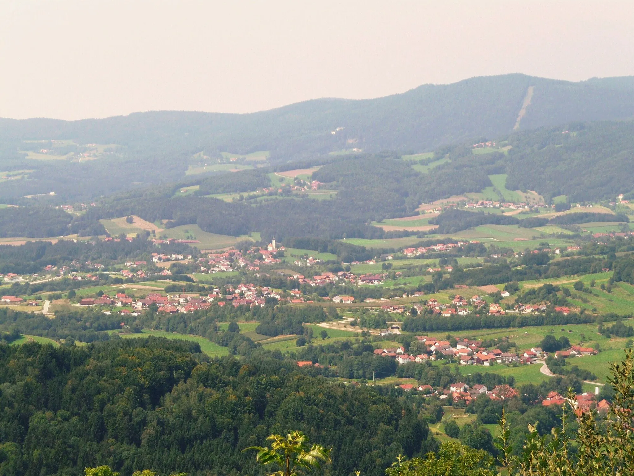
Geiersberg368 mPeakGeiersberg offers panoramic views of Niederbayern.
12 km
12 km
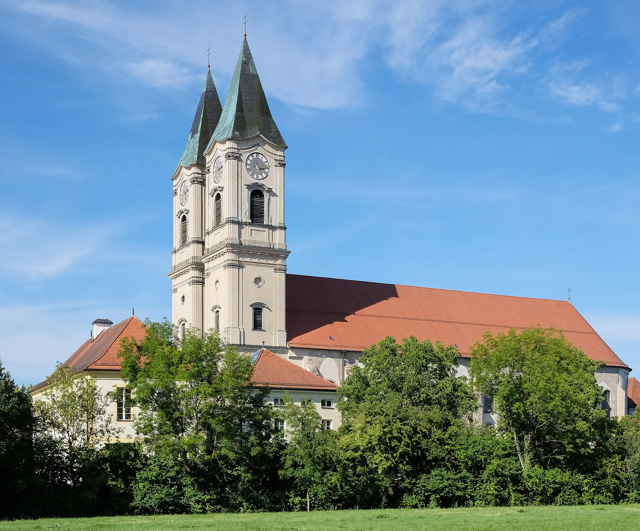
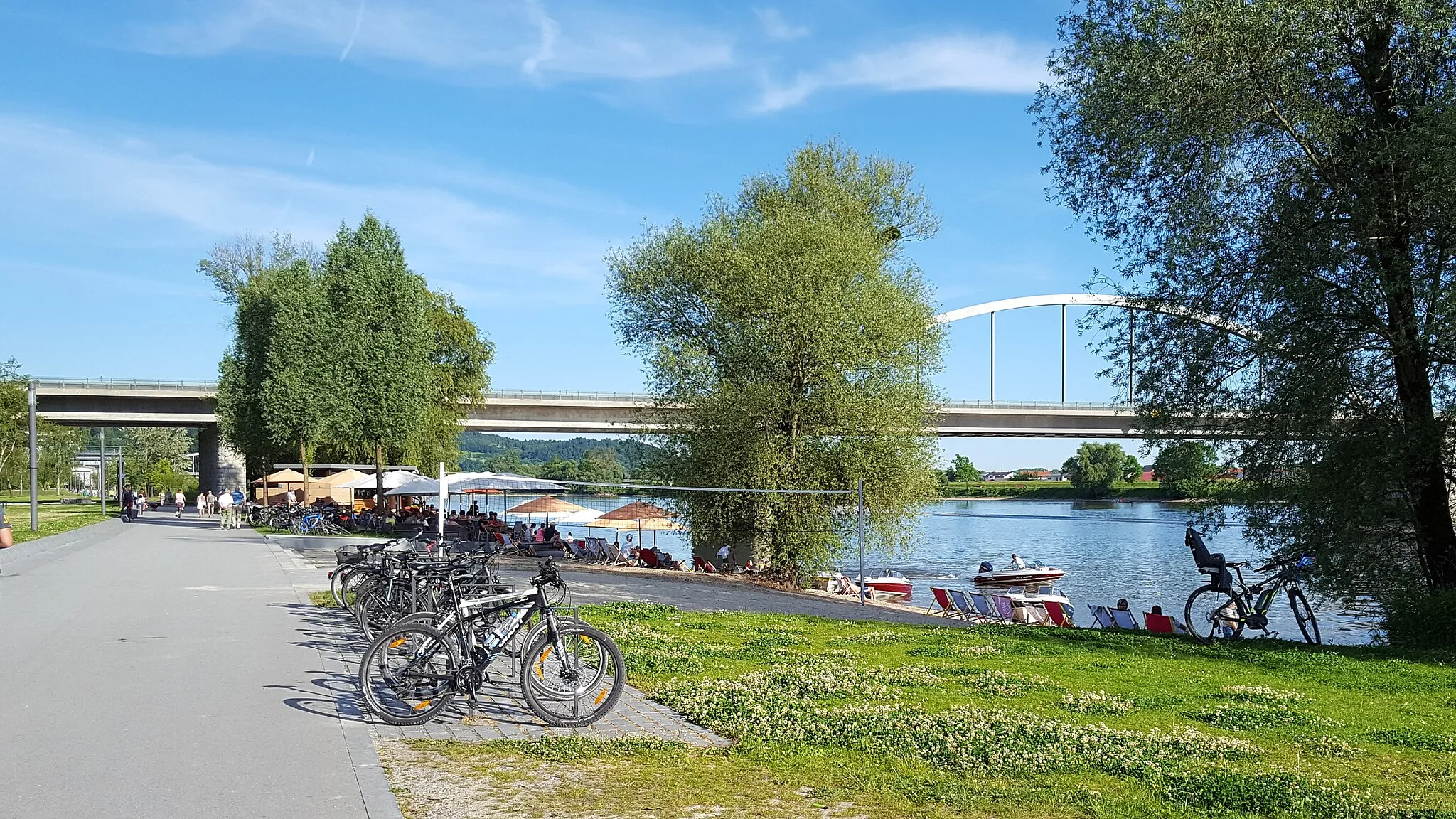
DeggendorfTownDeggendorf is a charming Bavarian town along the route.
27 km
27 km
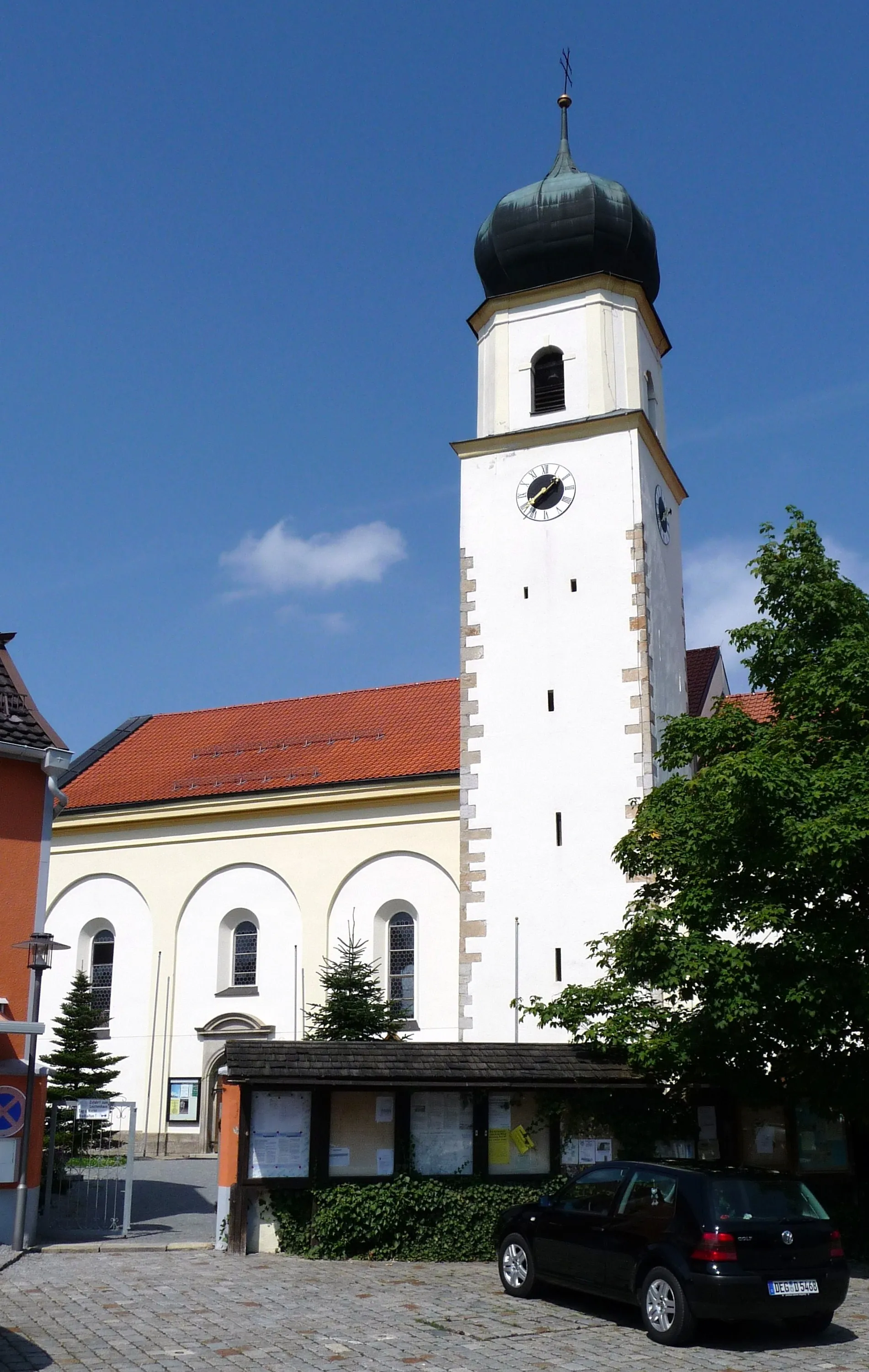
BernriedVillageBernried is a picturesque town with beautiful architecture.
35 km
35 km
Hirschenstein1095 mPeakHirschenstein provides stunning views of the Bavarian Forest.
43 km
43 km
AchslachVillageAchslach is a small village surrounded by rolling hills.
54 km
54 km
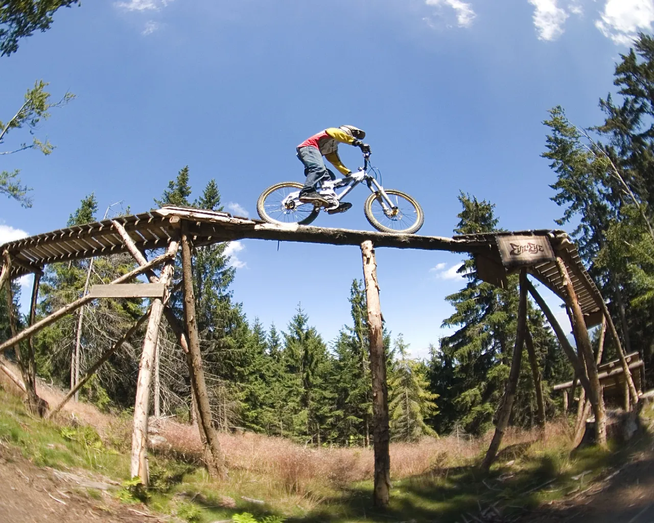
Geißkopf1097 mPeakGeißkopf is a popular ski resort during the winter months.
75 km
75 km
Hengersberg382 mPeakHengersberg is the starting and finishing point of the route.
76 km
76 km
Finish: Hengersberg Village centerHengersberg: A charming locality offering diverse cycling routes and access to nearby biking trails.
Cycling routes from Hengersberg:
Cycling routes nearby: