Untermitterdorf Loop
A road cycling route starting from Kirchdorf im Wald
Explore the charming countryside and picturesque villages on this road cycling route near Kirchdorf im Wald
Map
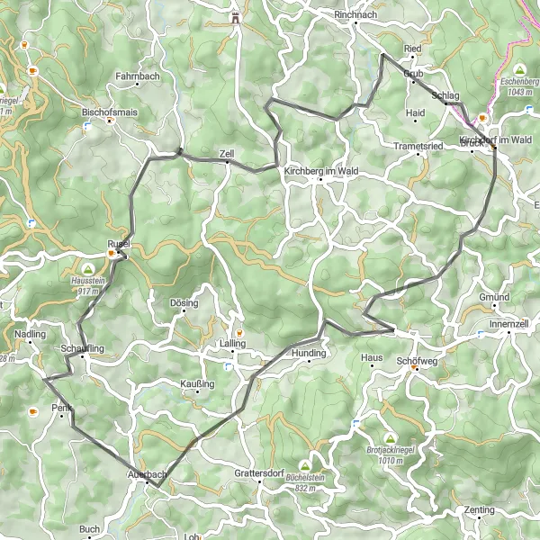
The Untermitterdorf Loop is a scenic road cycling route near Kirchdorf im Wald in Niederbayern, Germany. This 58 km route offers beautiful countryside views and takes you through charming villages. With an ascent of 1,293 meters, it provides a moderate challenge for well-trained amateur cyclists. The highlight of the route includes Untermitterdorf, a quaint village that takes you back in time with its traditional Bavarian architecture and stunning landscapes.
road
58 km
1293 m
Tough
Route profile
Highlights on the route
0 km
0 km
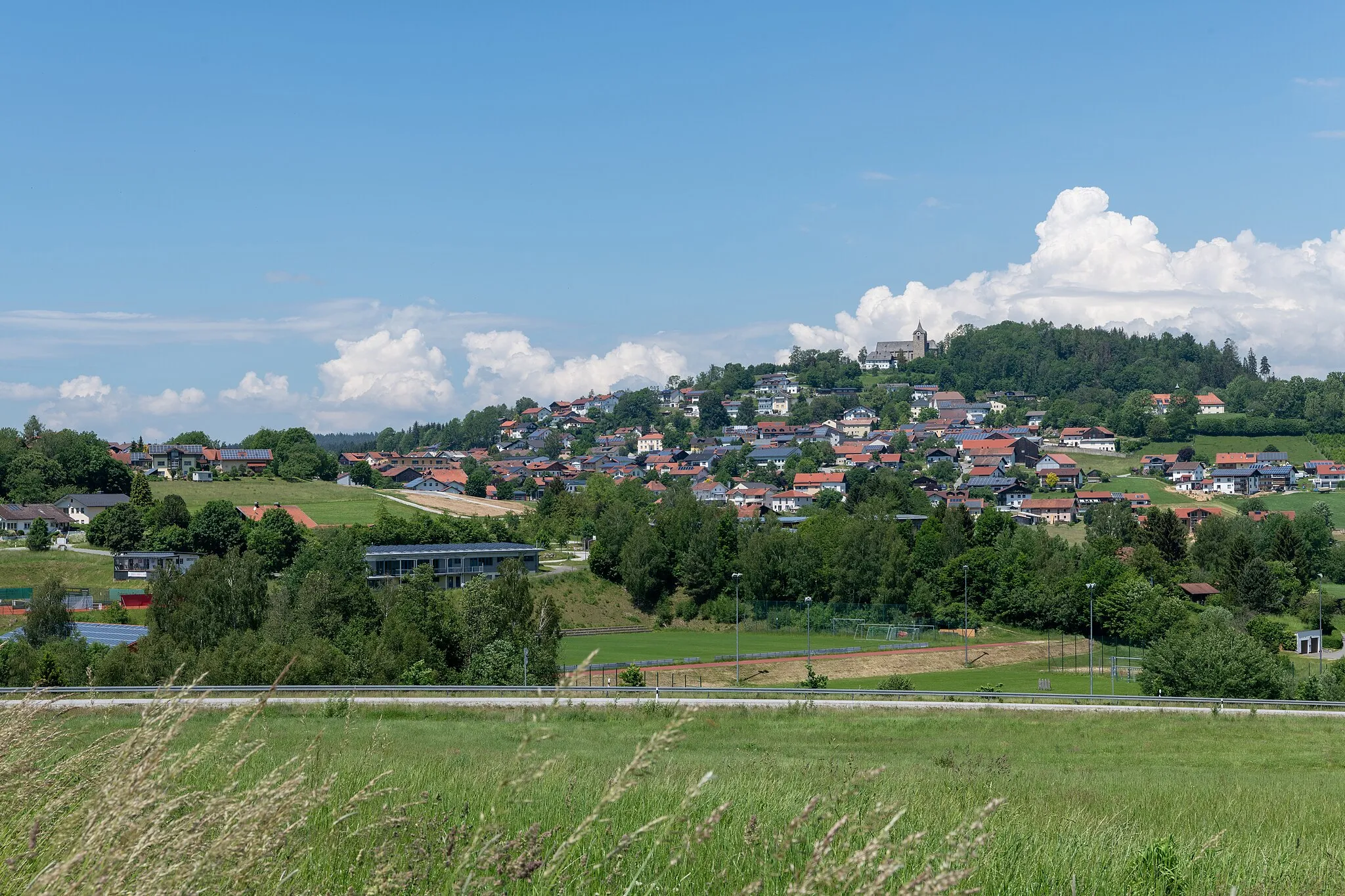
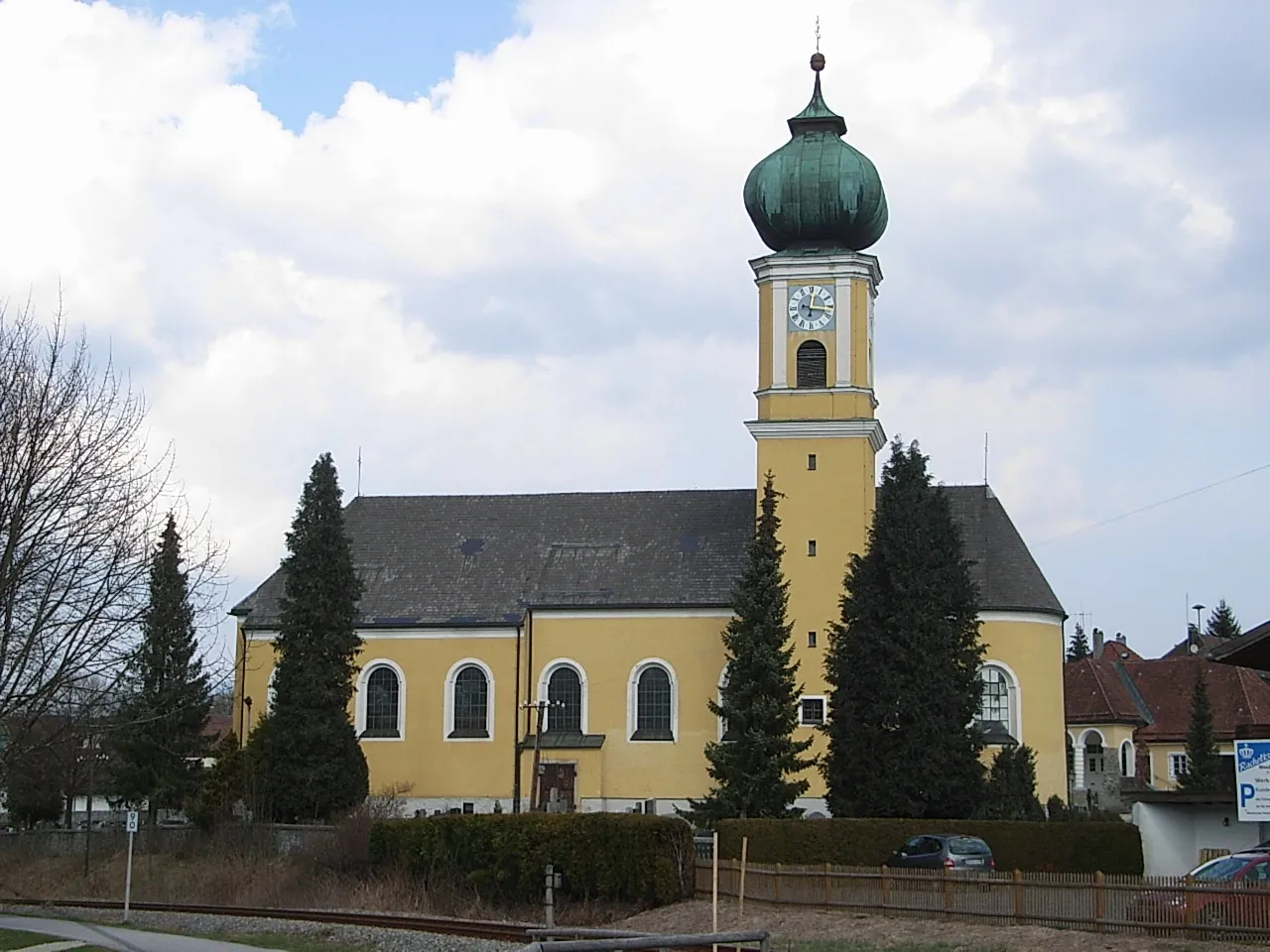
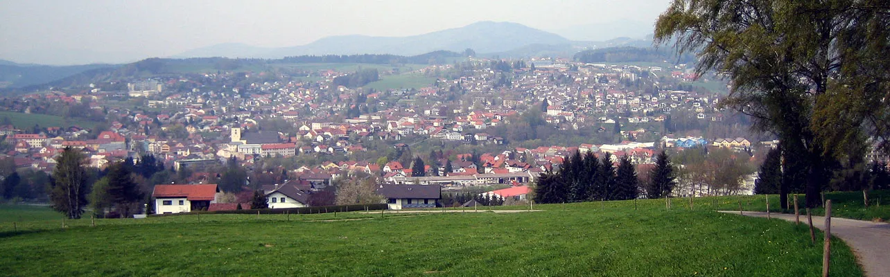
Start: Kirchdorf im Wald Village centerKirchdorf im Wald: Kirchdorf im Wald: Where beauty and cycling converge.
Kirchdorf im Wald, located in Niederbayern, Germany, is a picturesque locality that offers great cycling opportunities. The region has a mix of flat roads for beginners and challenging climbs for advanced cyclists. One of the well-known climbs nearby is the Falkenfelsen, which offers stunning views of the surrounding countryside. Kirchdorf im Wald is also home to several cycling clubs and events, making it a vibrant destination for cyclists. With its stunning natural beauty and cycling-friendly infrastructure, Kirchdorf im Wald receives a rank of 4 on the cyclist perspective scale.6 km
6 km
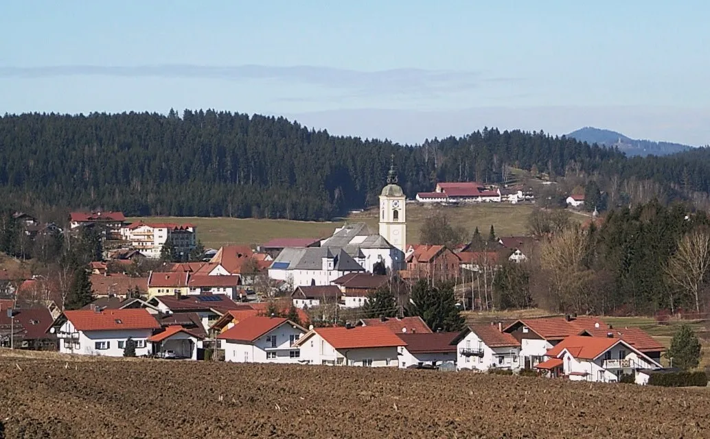
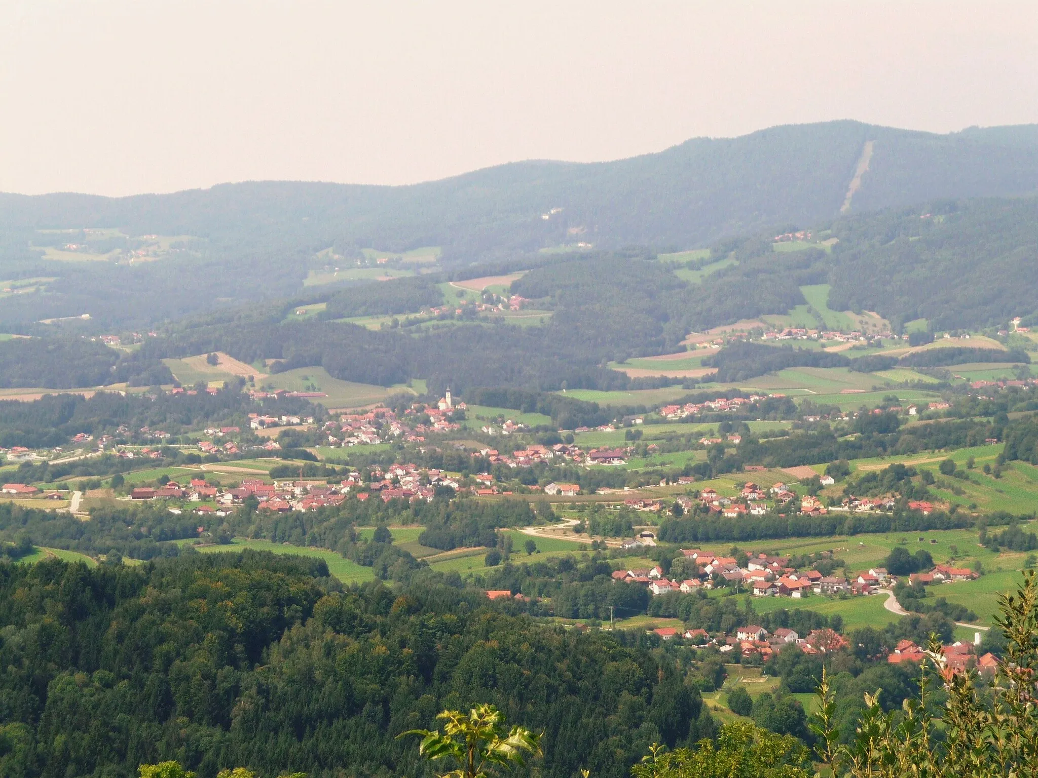
UntermitterdorfVillageUntermitterdorf, a charming village with traditional Bavarian architecture and beautiful landscapes.
7 km
7 km
Fürberg880 mPeakFürberg, a village known for its historical landmarks and scenic surroundings.
14 km
14 km
HundingVillageHunding, a popular tourist spot with beautiful hiking trails and viewpoints.
25 km
25 km
Raubühl437 mPeakRaubühl, a hidden gem offering panoramic views of the Bavarian countryside.
30 km
30 km
SchauflingVillageSchaufling, a picturesque village with a charming historic center.
34 km
34 km
Hausstein917 mPeakHausstein, a unique rock formation offering scenic views of the surrounding area.
39 km
39 km
Hieselberg696 mPeakHieselberg, a popular spot for outdoor activities such as hiking and mountain biking.
42 km
42 km
ZellVillageZell, a historic village with a rich cultural heritage and traditional Bavarian houses.
55 km
55 km
Riedstein745 mPeakRiedstein, a small mountain with panoramic views and a popular hiking destination.
58 km
58 km
Kirchdorf im WaldVillageKirchdorf im Wald, the starting and ending point of the route, known for its charming atmosphere and scenic surroundings.
58 km
58 km
Finish: Kirchdorf im Wald Village centerKirchdorf im Wald: Kirchdorf im Wald: Where beauty and cycling converge.
Cycling routes from Kirchdorf im Wald:
Untermitterdorf Loop Gravel Adventure in the Bavarian Forest Bavarian Countryside Road Cycling Bavarian Forest Gravel Adventure Challenging Bavarian Circuit Kirchdorf im Wald and the Breathtaking Scenic Roads Gravel Adventure through Kirchdorf im Wald The Ultimate Gravel Challenge near Kirchdorf im Wald The Ultimate Gravel Challenge: Kirchberg im Wald to Rinchnach Regen Valley Adventure: Kirchdorf im Wald to Rinchnach The Rolling Hills of Kirchdorf im Wald Scenic Beauty and Challenging Climbs Exploring the Beauty of Kirchdorf im Wald
Cycling routes nearby: