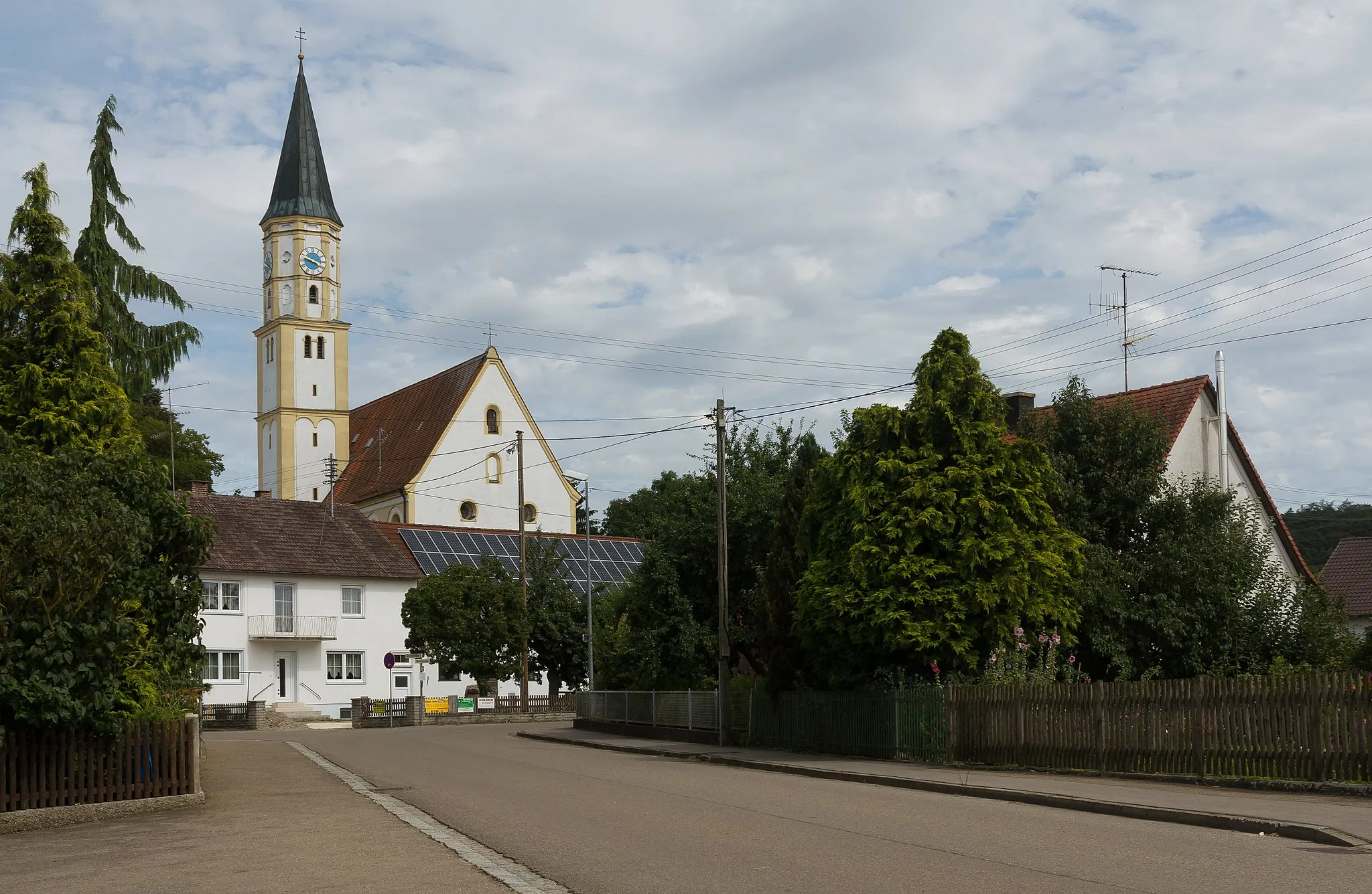
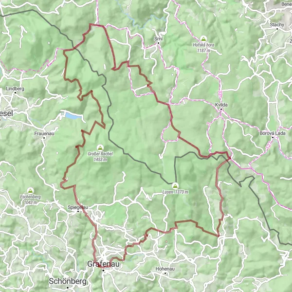
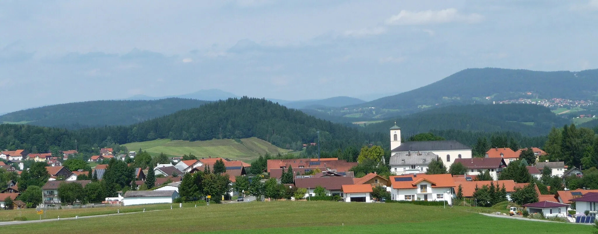
Discovering the scenic forests and taking on the Osserbuam Trail in Grafenau, Germany.
Cycling routes from Grafenau
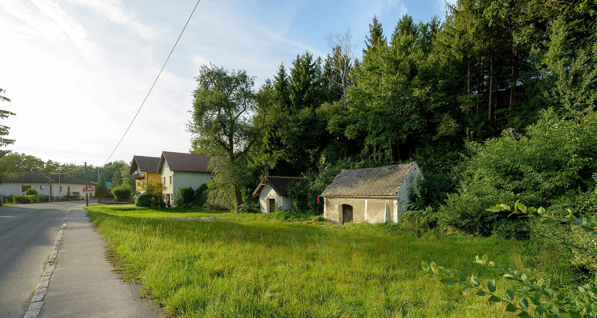
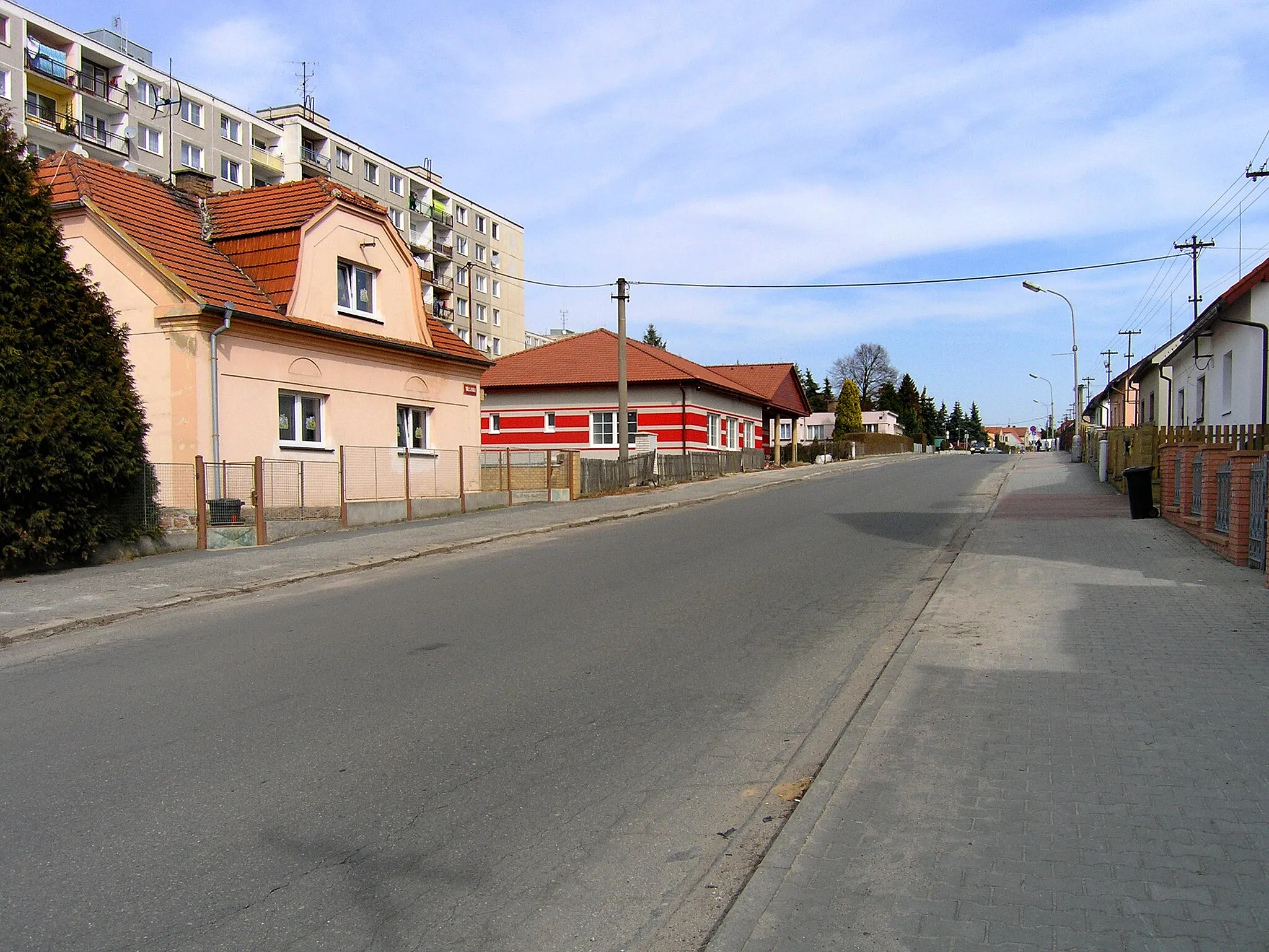
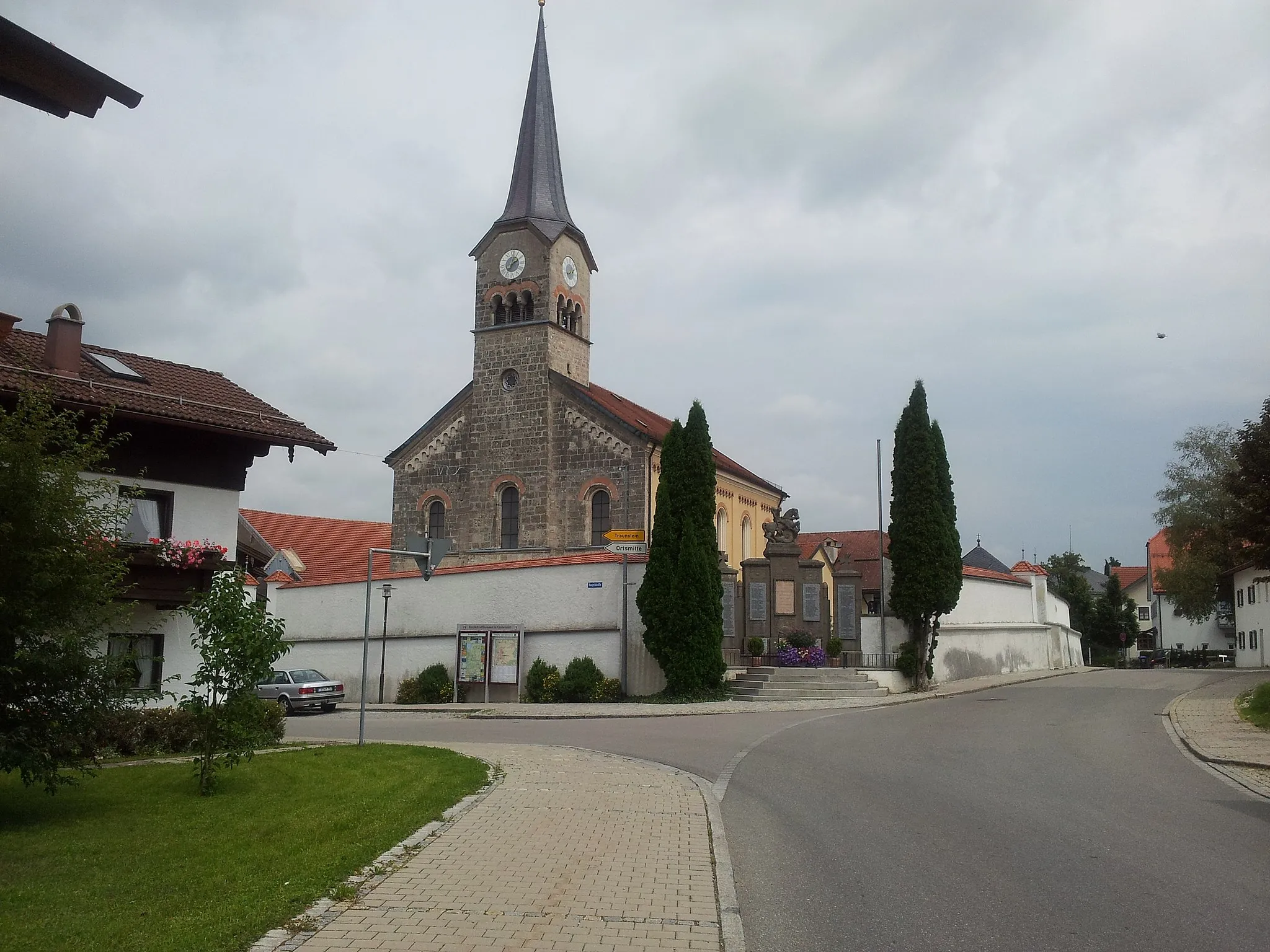
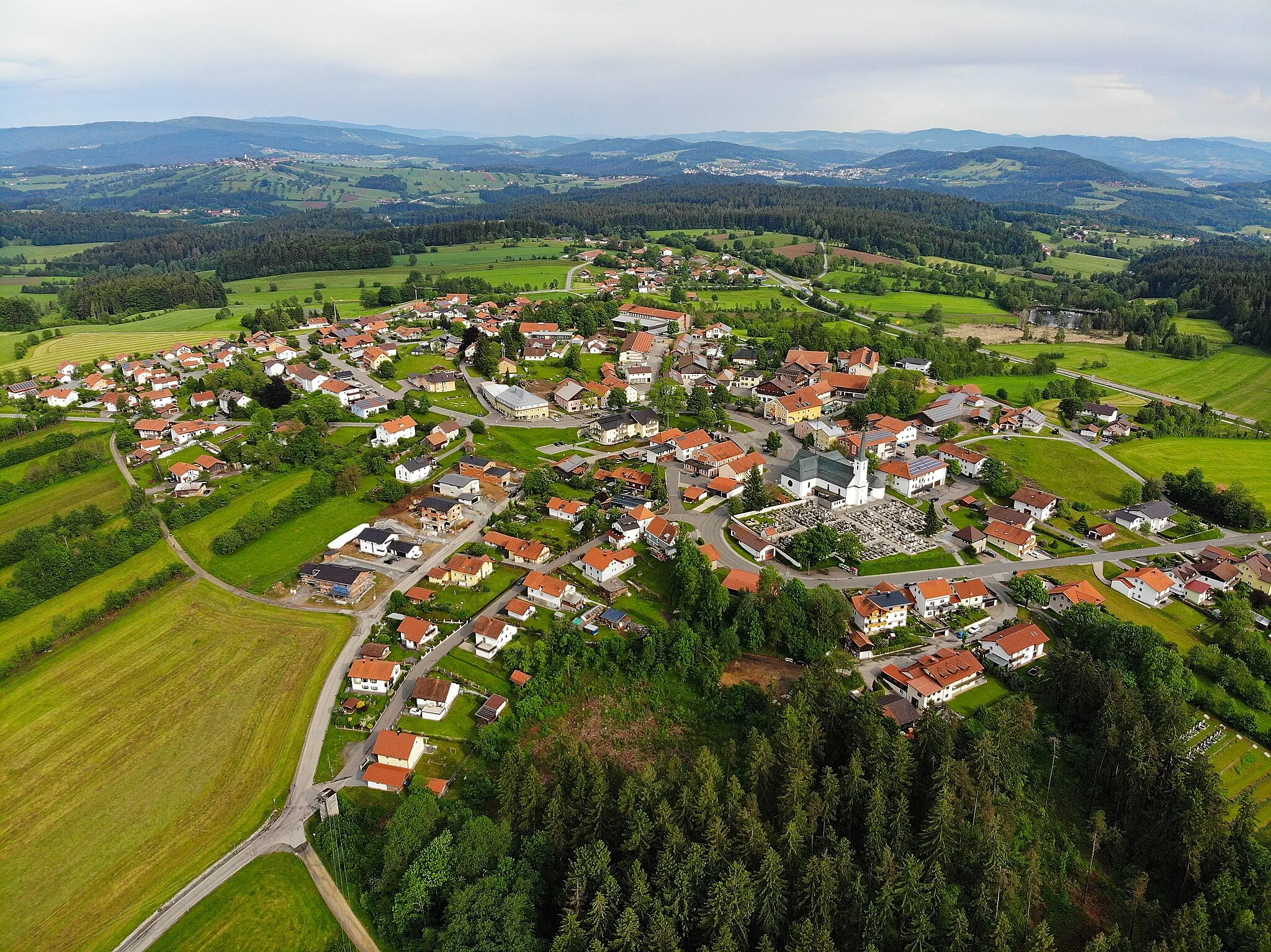
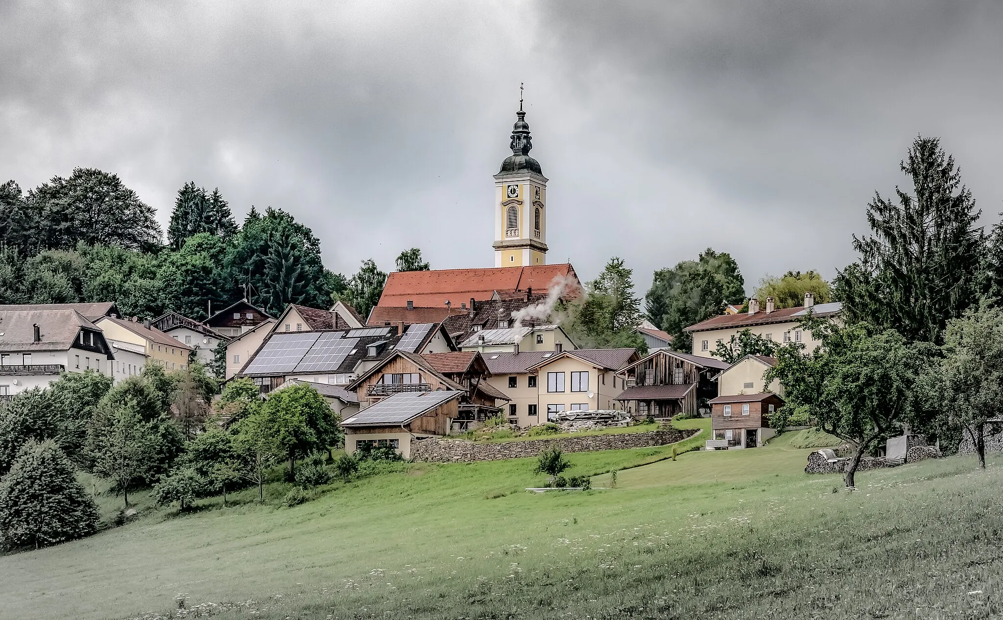
Grafenau is a locality situated in Niederbayern, Germany. It offers a diverse range of cycling opportunities, with both road and gravel routes available. The area is known for its scenic beauty, with forested hills and picturesque countryside that make for enjoyable cycling experiences. Grafenau is also home to the Osserbuam Trail, a well-known mountain biking route that offers thrilling descents and technical challenges. Overall, Grafenau is a cycling-friendly locality with plenty of natural beauty to explore.
Embark on a thrilling road cycling adventure from Grafenau to Perlesreut
This road cycling route starting near Grafenau will surely test your skills and push you to your limits. With an ascent of 1610 meters and covering a distance of 75 kilometers, this route is perfect for experienced road cyclists. The highlights along the route include Augenweide, Perlesreut, Neukirchen vorm Wald, Ranfels, Solla, and Hoher Sachsen. Augenweide offers stunning views of the surrounding landscape and is worth a stop for its natural beauty. Perlesreut is known for its charming village atmosphere and historical significance. Ranfels provides a unique rock formation and is a great spot for photography. Hoher Sachsen offers panoramic views of the surrounding countryside and is perfect for a photo stop. Overall, this route guarantees an unforgettable cycling experience.
Explore the beautiful landscapes of Niederbayern while taking on challenging uphill sections and enjoying breathtaking viewpoints.
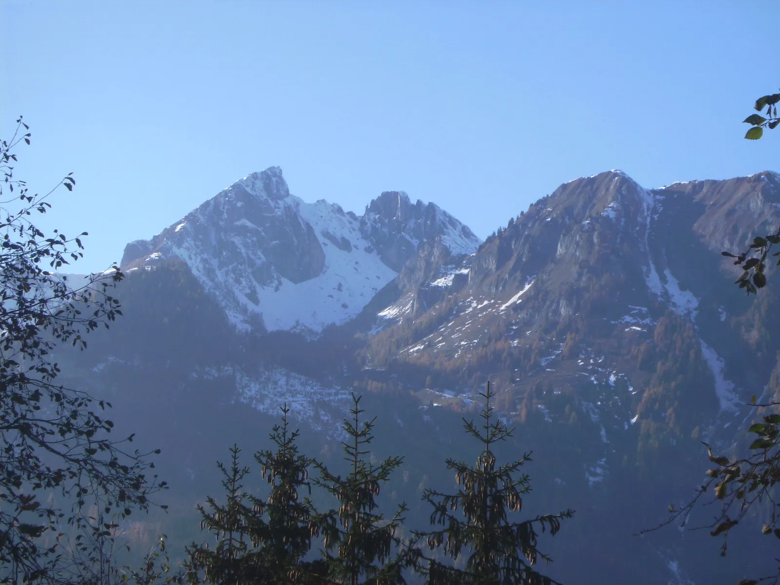
Embark on a cycling adventure through Niederbayern and experience the region's diverse beauty. This route will take you through picturesque towns, dense forests, and rolling hills, providing a true taste of Bavaria. With a moderate ascent of 1,187 meters over a distance of 61 kilometers, this road cycling route is suitable for cyclists with some training and stamina. Along your journey, you will encounter highlights such as the majestic Hoher Sachsen mountain and the ancient Altenstein castle ruins. Take a moment to admire the panoramic views from Ausblick Zwiesel and immerse yourself in the tranquility of nature at Frauenau. This route is perfect for those seeking both physical adventure and cultural exploration.
Take on a challenging road cycling loop near Grafenau and experience the excitement of climbing and descending.
This challenging road cycling loop covers a distance of 66 kilometers with an ascent of 1518 meters, making it ideal for cyclists seeking a demanding journey. Starting near Grafenau, riders will pass through highlights such as Hoher Sachsen, Kirchberg, Schöfweg, and Zell. The route combines scenic countryside landscapes with thrilling climbs and fast descents. Challenge yourself to conquer the steep ascents and enjoy the exhilaration of descending serpentine roads. This loop promises unforgettable views and a sense of accomplishment for those willing to push their limits.
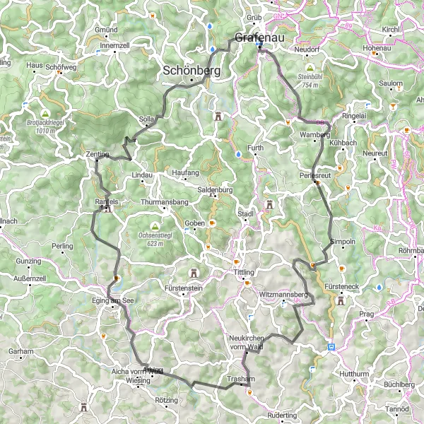
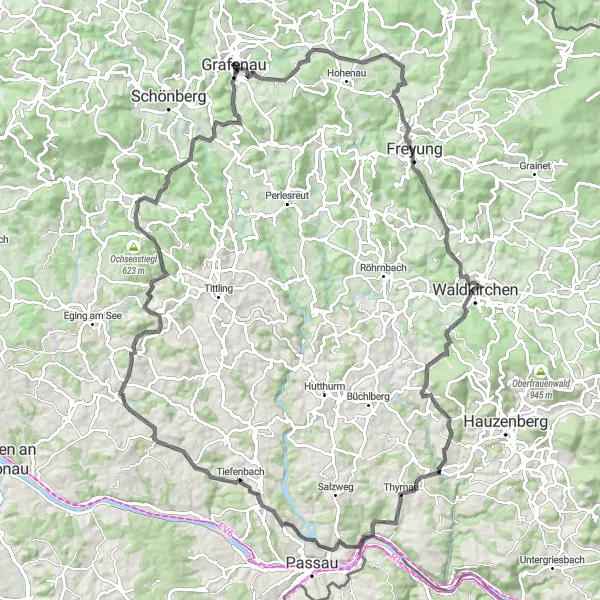
Embark on an epic road cycling adventure from Grafenau to Altbachhaus
This challenging road cycling route starting near Grafenau is perfect for those seeking an epic adventure. With an ascent of 1943 meters and covering a distance of 104 kilometers, this route is best suited for experienced road cyclists. The highlights along the route include Augenweide, Saldenau, Kumreut, Eberhardsberg, Donaublick, Paulusbogen, Minsing, Im Riegel, Eberhardsreuth, and Altbachhaus. Augenweide offers stunning panoramic views of the surrounding landscapes, making it a highlight not to be missed. Kumreut is known for its charming village atmosphere and peaceful surroundings. Eberhardsberg provides panoramic views of the Danube River and the surrounding countryside. Donaublick offers breathtaking views of the Danube Valley and is perfect for a photo stop. Altbachhaus, with its rich history and impressive architecture, is definitely worth exploring. Overall, this route guarantees an unforgettable and truly epic cycling experience.
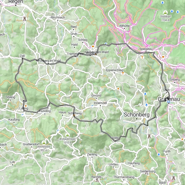
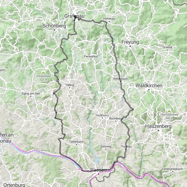
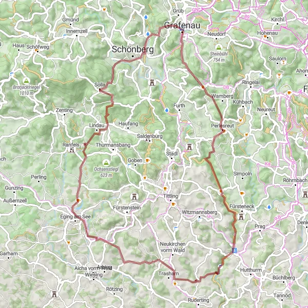
Explore the picturesque route from Grafenau to Solla and enjoy the beauty of nature
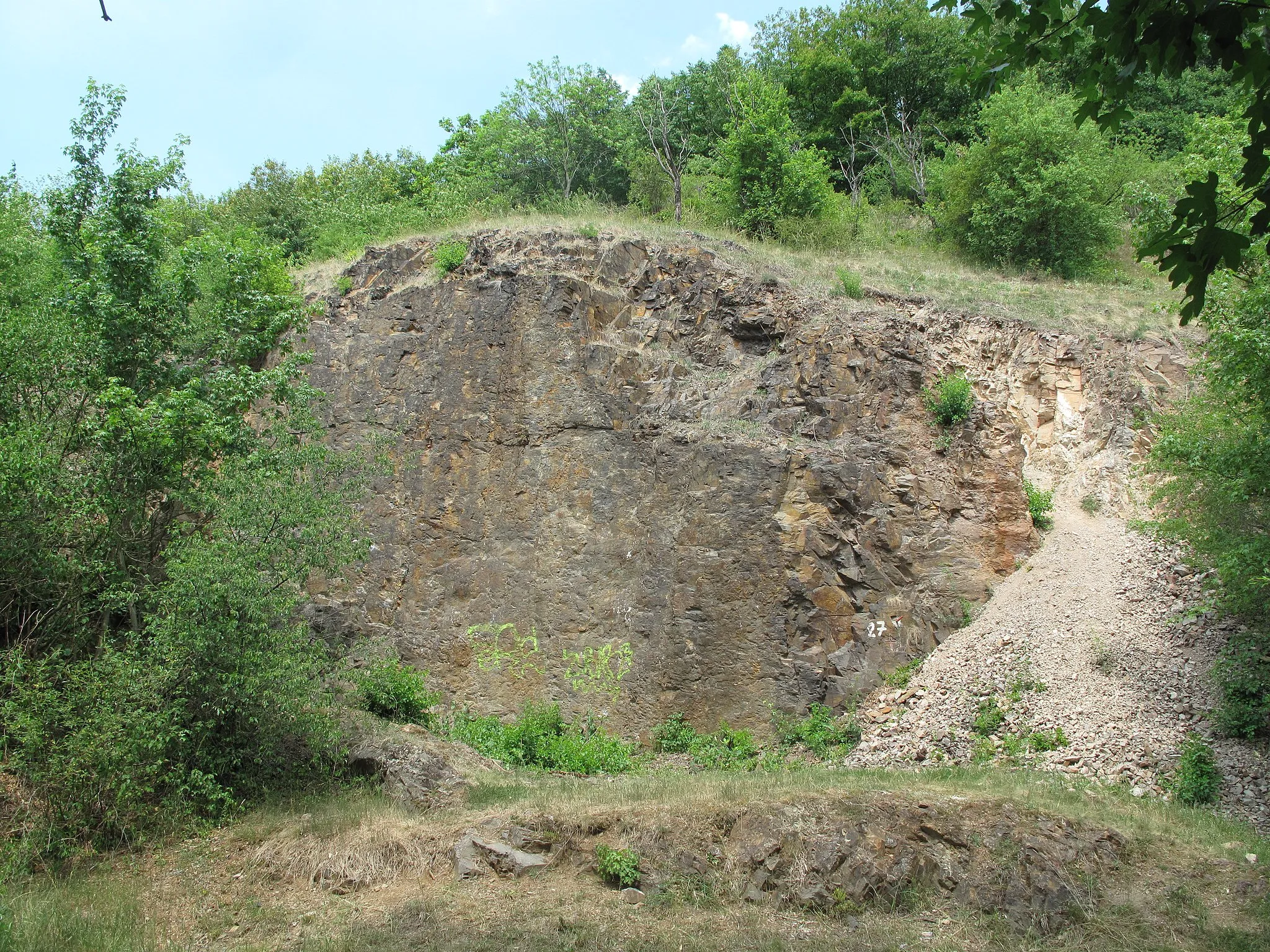
This round-trip cycling route starting near Grafenau takes you on a beautiful journey through some scenic landscapes. With a challenging ascent of 2163 meters and covering a distance of 95 kilometers, this gravel route is perfect for experienced riders. The route highlights include Solla, Aschenstein, Büchelstein, Grattersdorf, Altes Rathaus, Geißberg, Königstein, Ranzinger Vorberg, Kirchberg im Wald, and Bärta. Solla, with its stunning views and natural beauty, is definitely worth a stop. Geißberg offers panoramic views of the surrounding countryside. Königstein is known for its charming architecture and historical significance. Overall, this route provides an exciting and challenging cycling experience for gravel enthusiasts.
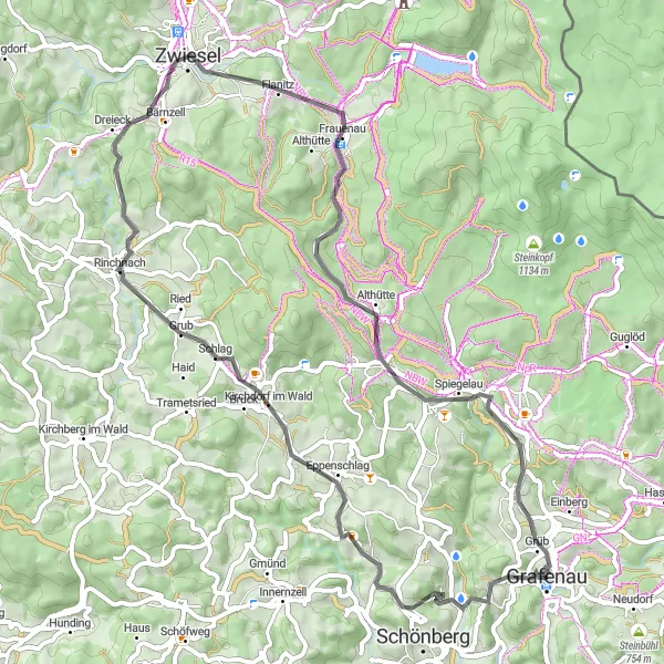
Embark on an epic cycling journey through the breathtaking landscapes of Niederbayern, featuring challenging ascents and scenic spots.
Get ready to tackle a thrilling adventure as you cycle through the stunning landscapes of Niederbayern. This road cycling route spans over 110 kilometers with a challenging ascent of 2,177 meters. Suitable for well-trained enthusiasts, this route will take you through picturesque towns, dense forests, and magnificent viewpoints. Highlights along the way include the gateway to Hinter Wildnis, an enchanting natural reserve filled with diverse flora and fauna. Look out for the hidden gem of Augenweide, a magical spot that will leave you in awe of its natural beauty. Freyung awaits with its charming architecture and inviting atmosphere. Ascend to the Aussichtsturm Wasserreserve for stunning panoramic views of the surrounding landscapes. Take a moment to soak in the beauty of the Donaublick and explore historical landmarks like the Altbachhaus.
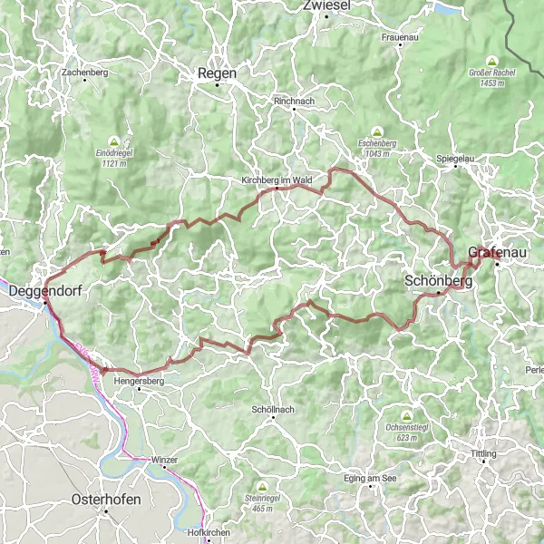
Experience the thrill of gravel cycling from Grafenau to Modrava
This gravel cycling route starting near Grafenau is perfect for adventure seekers. With a challenging ascent of 2602 meters and covering a distance of 109 kilometers, this route is best for experienced cyclists. The highlights along the route include Großarmschlag, Altenstein, Hochruck, Schachten-Diensthütte, Dolní Ždánidla, Prášily, Jezernice, Modrava, Stráž, Tor zur Wildnis, and Bärta. Großarmschlag is known for its tranquil ambiance and untouched natural beauty, making it a perfect highlight along the route. Altenstein offers stunning views of the surrounding landscapes and is worth a stop for its panoramic beauty. Modrava, with its charming village atmosphere and picturesque surroundings, is definitely worth exploring. Overall, this route provides an adventurous and thrilling cycling experience for gravel enthusiasts.

Experience the untamed beauty of the wilderness on this thrilling gravel adventure near Grafenau.
Covering a distance of 86 kilometers with an ascent of 1866 meters, the Wilderness Gravel Adventure is designed for adventurous cyclists seeking a challenging yet rewarding experience. Starting near Grafenau, riders will journey through highlights such as Tor zur Wildnis, Bärta, Baumwipfelpfad, and Haidel. These spots offer an insight into the region's wild and untouched landscapes. The route takes cyclists through dense forests, past tranquil lakes, and up steep hills. Admire the unspoiled beauty of nature and enjoy the sense of freedom that comes with exploring the wilderness.
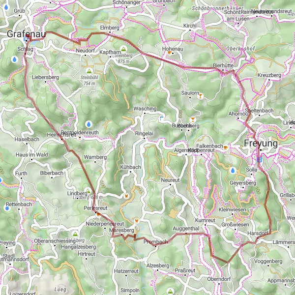
Explore the diverse landscapes of Niederbayern on this thrilling gravel adventure near Grafenau.
With a total distance of 69 kilometers and a challenging ascent of 1482 meters, the Grafenau Gravel Adventure takes cyclists through picturesque villages and stunning natural surroundings. The route is best explored on a gravel bike, allowing riders to tackle both paved roads and off-road sections. Throughout the journey, cyclists will encounter several highlights including Lindberg, Perlesreut, and Thannberg. These charming spots offer a glimpse into the rich history and culture of the region, making this ride a truly immersive experience. Experience the thrill of gravel cycling while discovering the hidden gems of Grafenau and its surroundings.
Enchanting Gravel Ride
Embark on an enchanting gravel ride through the scenic landscapes surrounding Grafenau.
Covering a distance of 44 kilometers with an ascent of 1054 meters, this gravel ride offers a perfect balance of challenge and reward. Starting near Grafenau, cyclists will journey through various highlights including Bärta, Saldenau, Perlesreut, and Lindberg. These spots showcase the natural beauty and rural charm of the region. The scenic gravel roads, combined with stunning vistas of rolling hills and dense forests, make this ride a true delight for nature lovers. Escape the hustle and bustle of daily life and immerse yourself in the tranquility of Niederbayern.
Cycling routes nearby:


Nearby regions: