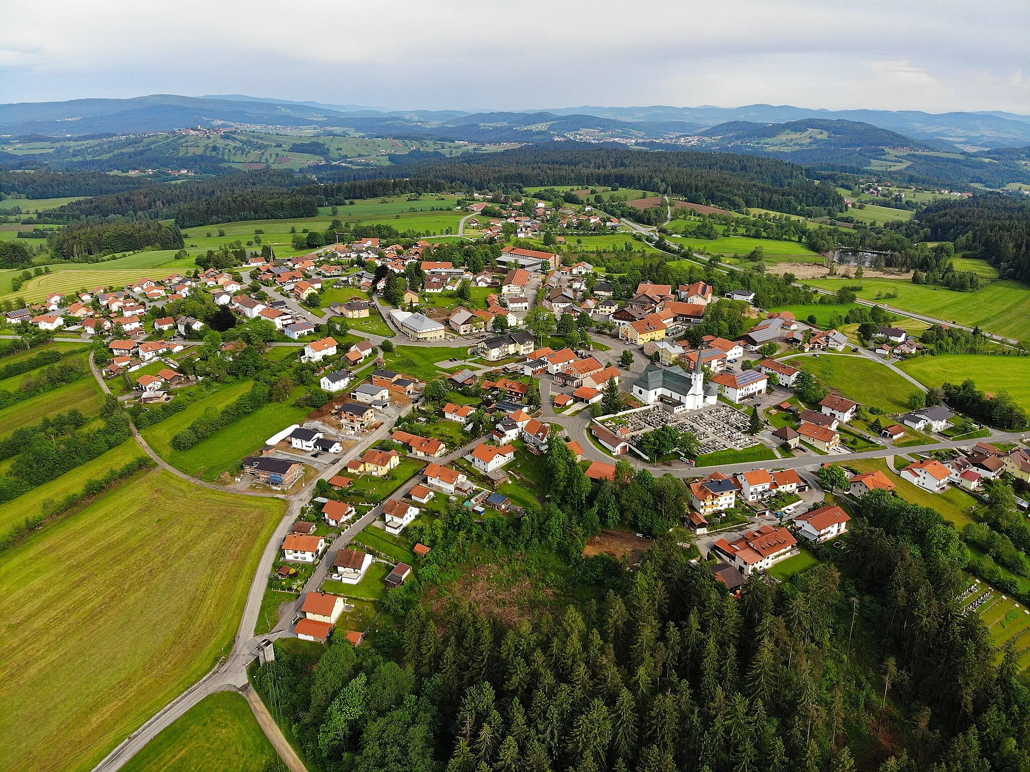
Immerse yourself in Neuschönau's natural cycling playground.
Cycling routes from Neuschonau
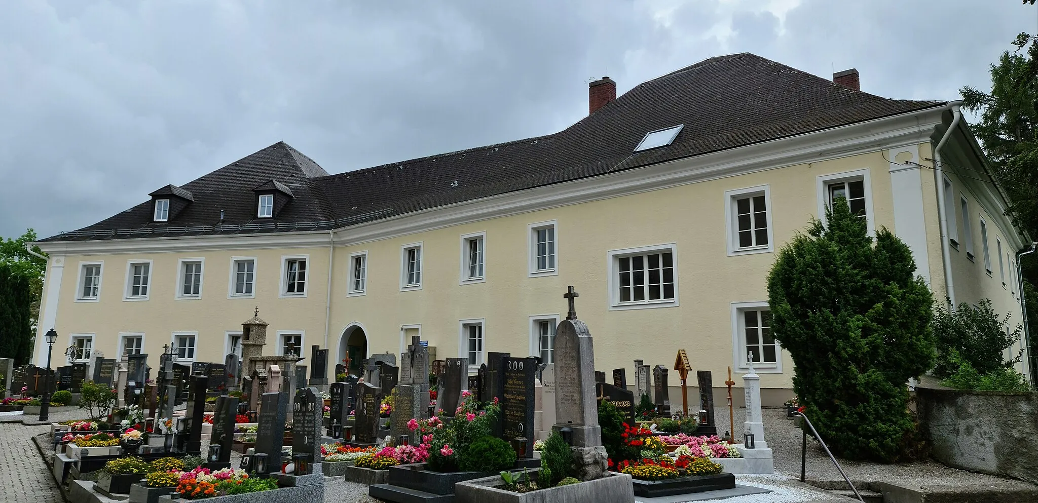
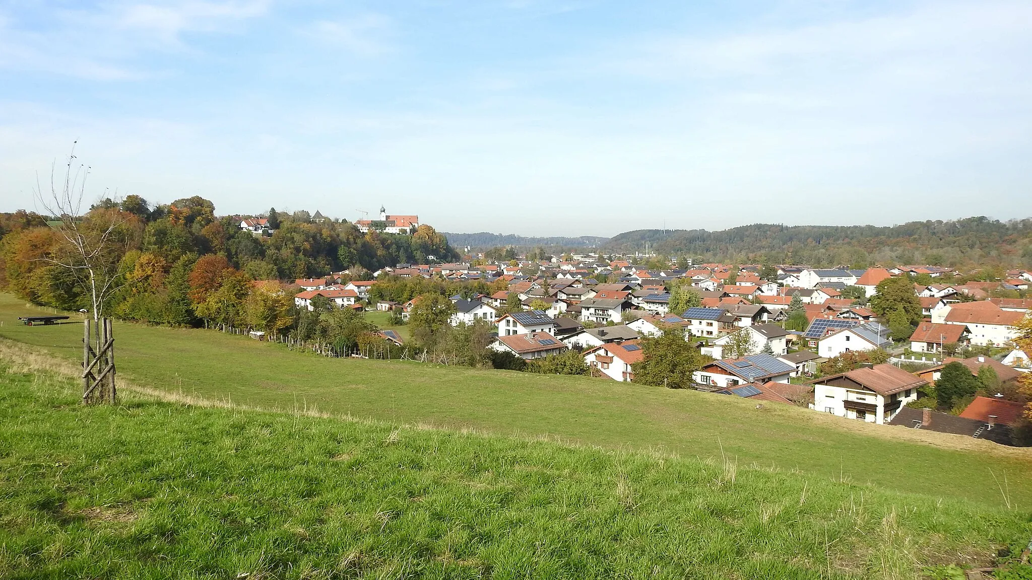
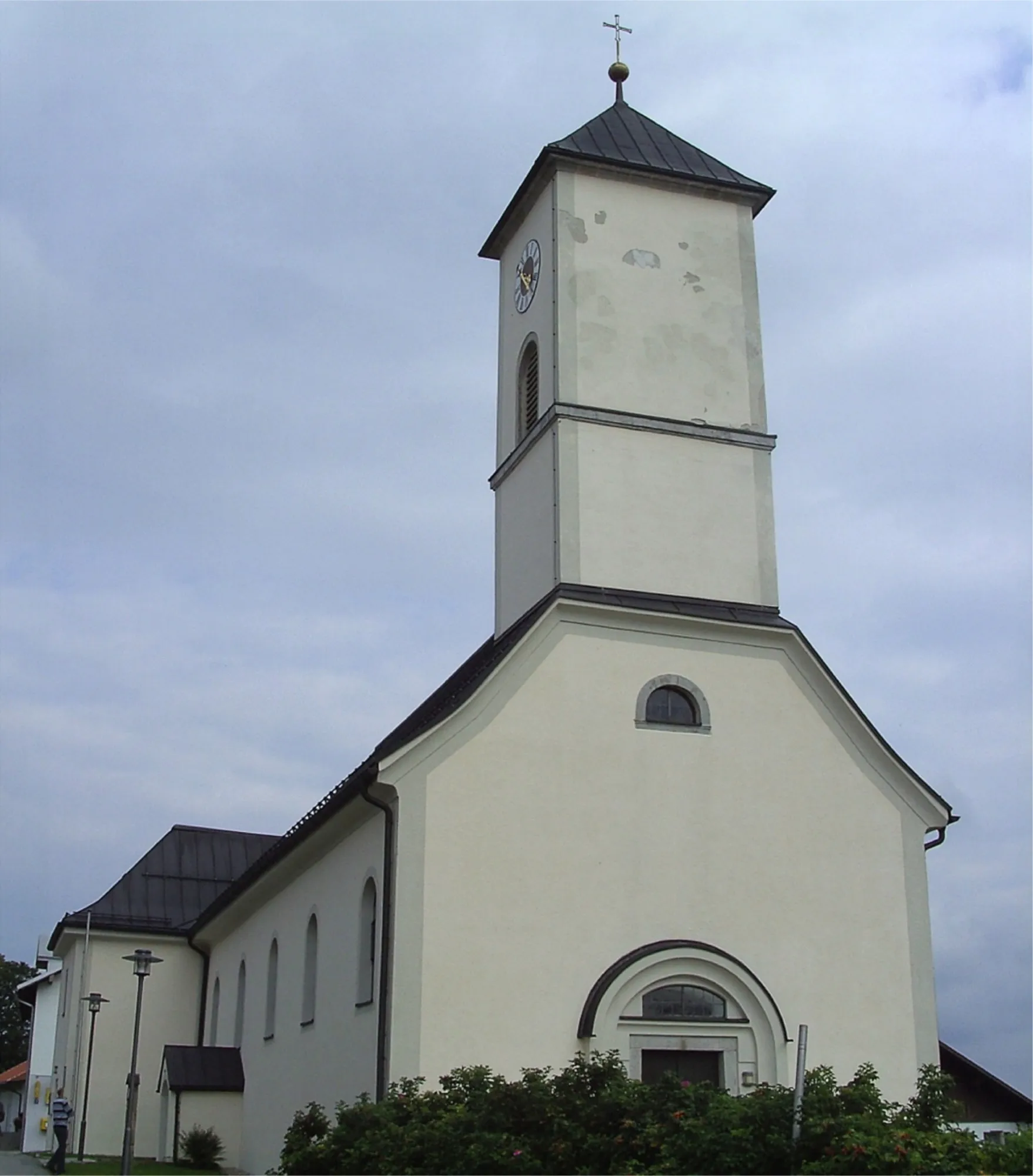
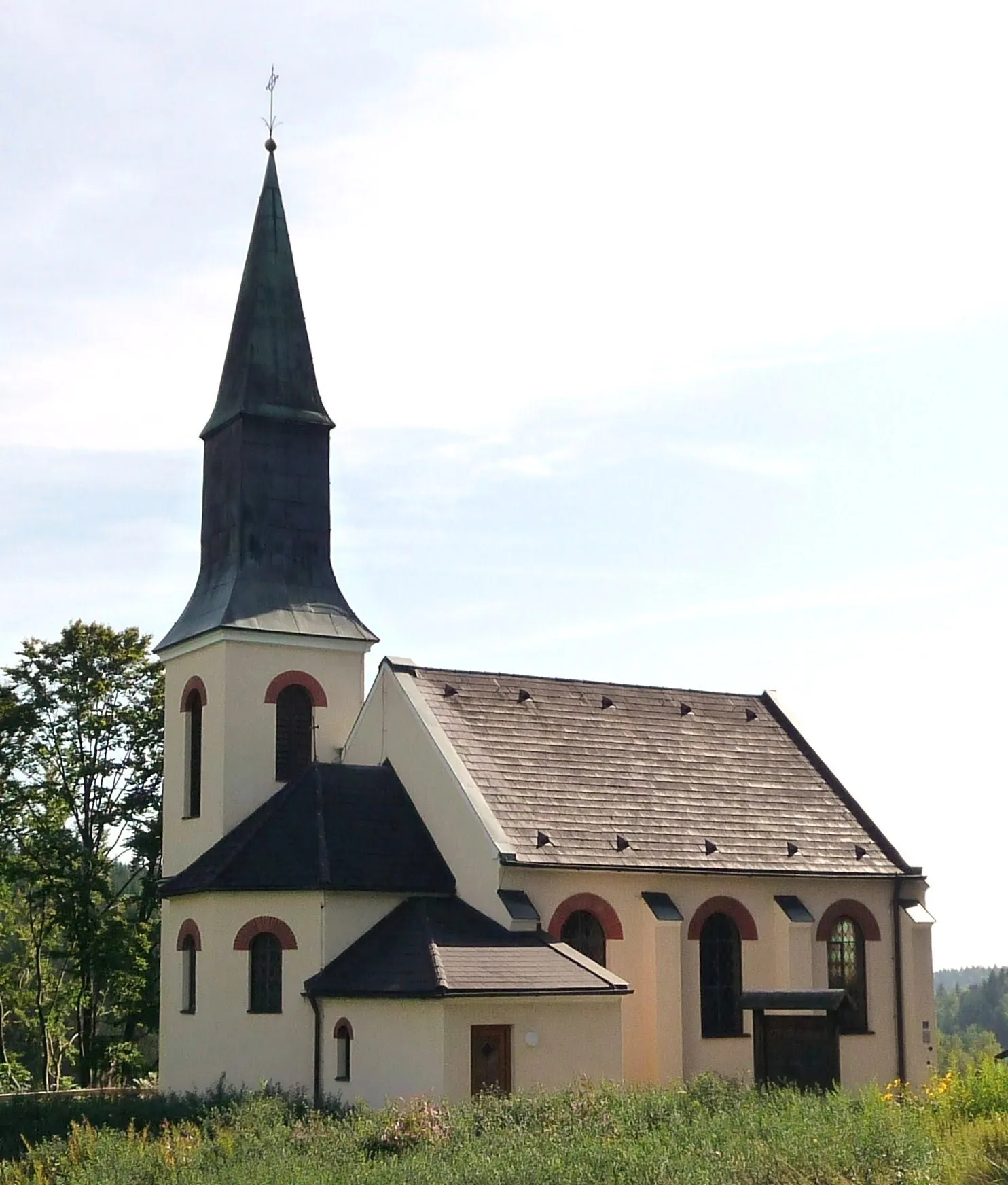
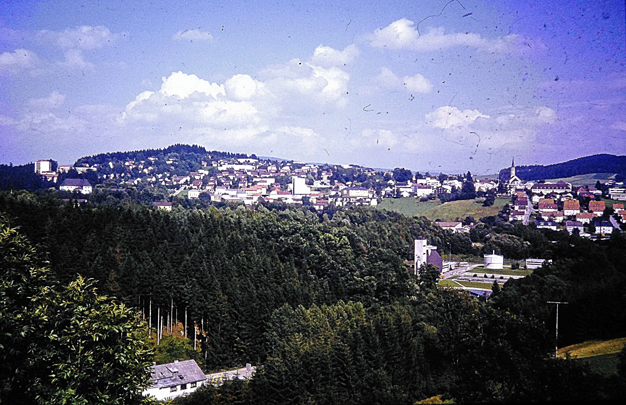
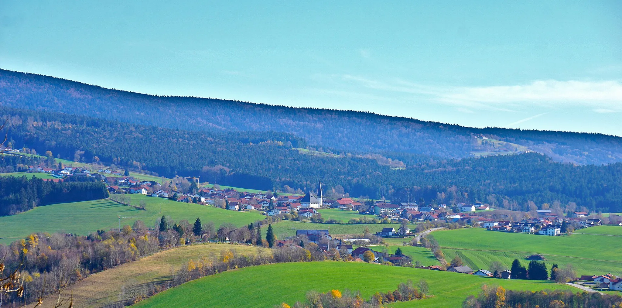
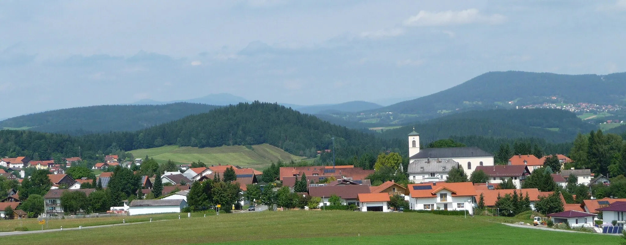
Neuschönau, situated in the Niederbayern region of Germany, offers a picturesque setting perfect for road and gravel cyclists. The town is enveloped by lush forests and tranquil landscapes, creating an enchanting atmosphere for your rides. Neuschönau is renowned for the breathtaking climb to Lichtenauer Aussichtsturm, providing awe-inspiring panoramic views at its peak. As you cycle through the undulating roads, you'll witness stunning natural beauty every step of the way. Whether you seek gentle rides or challenging routes, Neuschönau promises an unforgettable cycling experience.
Road Quest
Embark on an epic road cycling journey through Freyung, Waldkirchen, Karoli, and more!
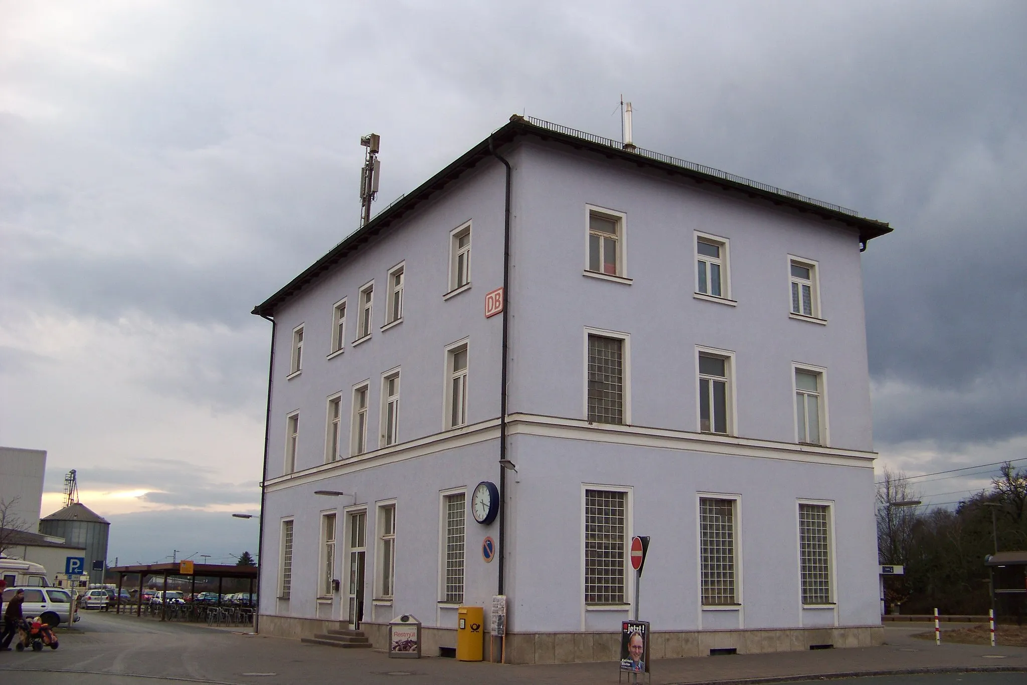
Get ready for an epic road cycling adventure starting near Neuschönau. This round-trip route covers a distance of 95 kilometers and boasts an ascent of 2057 meters. With a difficulty level of 5, it demands stamina and determination. The epicness score of 4 highlights the scenic beauty and cultural significance of the locations along the way. Explore the impressive Aussichtsturm Baumwipfelpfad (Ei), marvel at the historical town of Freyung, and discover the charms of Waldkirchen.
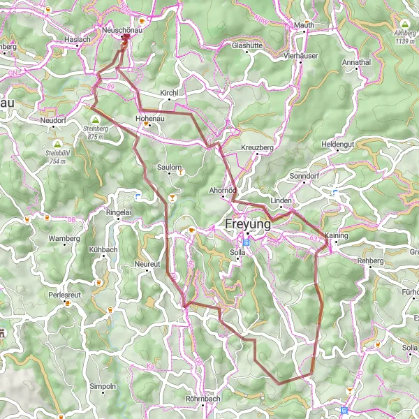
Gravel Adventure

Explore the natural beauty and cultural highlights of Grafenau, Bärta, Im Riegel, and more!
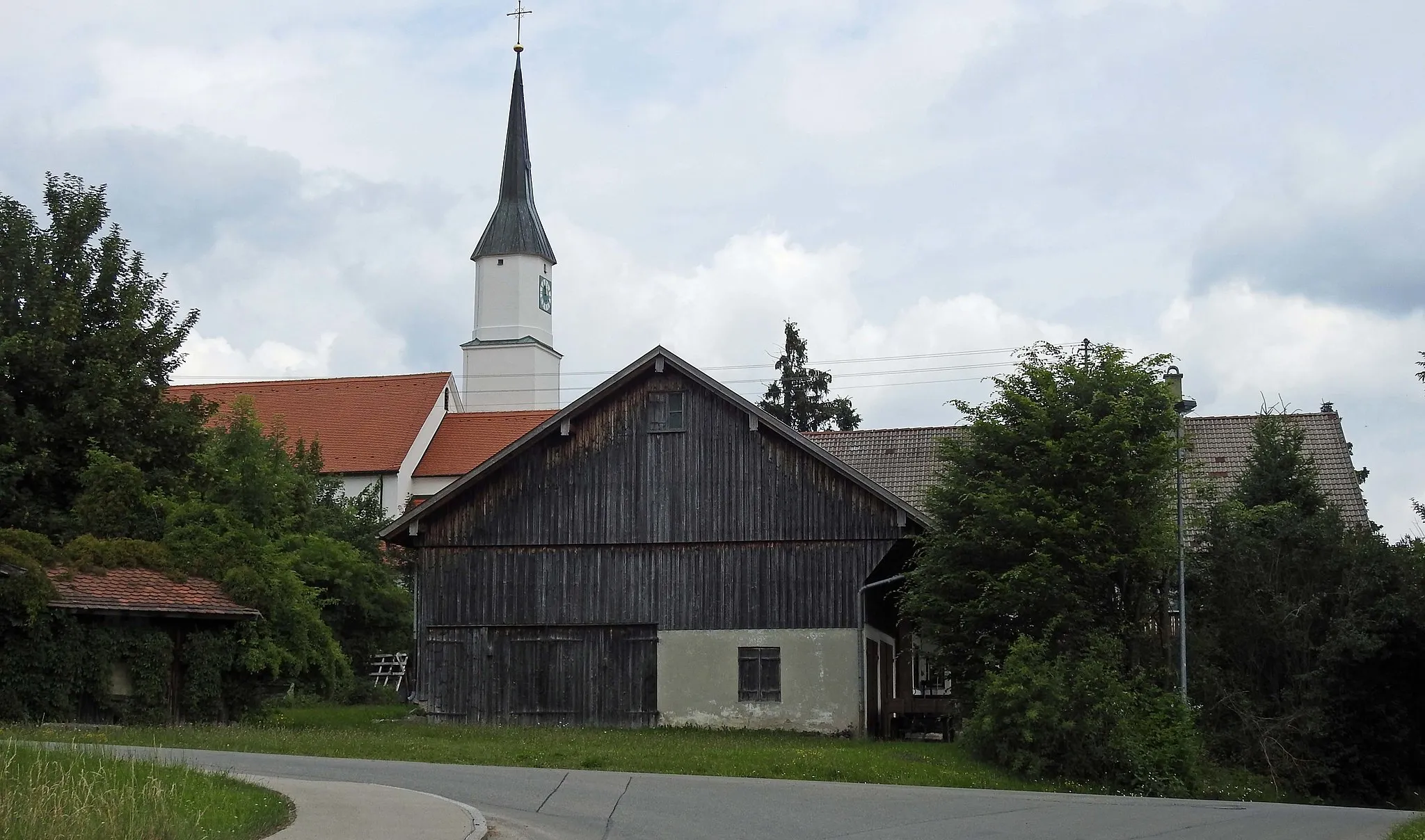
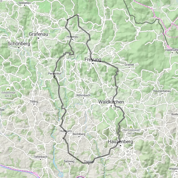
This gravel round-trip cycling route starting near Neuschönau offers a thrilling adventure through stunning landscapes and charming towns. With a total distance of 81 kilometers and an ascent of 1729 meters, it is an ideal challenge for those seeking excitement. Suitable for very well-trained amateurs, the difficulty level is rated 4. With an epicness score of 3, this route provides a mix of scenic views, serene forests, and rich cultural heritage. Highlights include the picturesque Grafenau, the historical site of Ranfels, and the majestic Büchelstein.

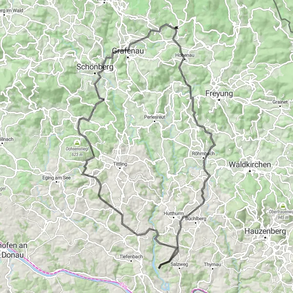
Conquer the Bavarian Summit on this epic road cycling adventure
Get ready for the ultimate challenge as you conquer the mesmerizing landscapes of Bavaria on this road cycling route. With a distance of 131 kilometers and an elevation gain of 2519 meters, this demanding route is designed for experienced cyclists seeking to test their limits. Along the way, take in the breathtaking highlights such as the infamous Kumreut climb and the picturesque Jägerwirth.

Embark on an off-road adventure through the enchanting Bavarian Forest
Experience the off-road thrill of cycling through the magical Bavarian Forest on this gravel cycling route. With a distance of 44 kilometers and an elevation gain of 981 meters, this shorter but action-packed route provides cyclists with a thrilling escape into nature. Marvel at the highlights along the way, including the awe-inspiring Baumwipfelpfad (treetop walkway) and the picturesque town of Mauth.
Unearth the hidden beauty of Sumava on this unforgettable road cycling route
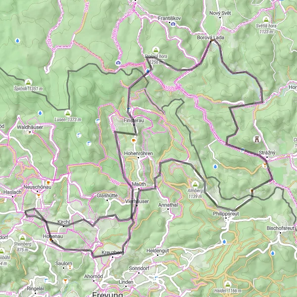
Embark on a breathtaking journey through the hidden beauty of Sumava on this road cycling route. With a distance of 85 kilometers and an elevation gain of 1744 meters, this intermediate-level route offers cyclists the opportunity to discover the scenic landscapes and cultural heritage of the region. Be captivated by the highlights along the way, including the iconic Kreuzberg summit and the enchanting Borová Lada village.

A thrilling cycle through the diverse landscapes of the Bavarian Forest
Embark on an exhilarating adventure through the stunning landscapes of the Bavarian Forest. This challenging route takes you through picturesque villages, dense forests, and rolling hills, providing breathtaking views of the surrounding nature. With a distance of 145 kilometers and an elevation gain of 2562 meters, this road cycling route is perfect for experienced riders seeking a true challenge. Take a well-earned break at the highlights along the way, such as the historic Haus im Wald and the mesmerizing Ranfels castle.
Delve into natural wonders and historical landmarks at Wolfstein Castle, Appmannsberg, and more!
This gravel cycling route starting near Neuschönau takes you on a 50-kilometer journey through stunning nature and historical sites. With an ascent of 1143 meters and a difficulty level of 3, it provides an enjoyable challenge for intermediate cyclists. The epicness score of 2 reflects the pleasant mix of natural beauty and cultural heritage. Highlights include the majestic Schloß Wolfstein, the peaceful village of Appmannsberg, and the charming surroundings of Saldenau.
Saddle up for a captivating journey through the scenic hills of Bavaria
Indulge in a stunning ride through the captivating Bavarian hills on this road cycling route. With a distance of 98 kilometers and an elevation gain of 1996 meters, this challenging route provides cyclists with breathtaking views of the rolling landscape and historical landmarks. Take some time to explore the highlights along the way, including the picturesque Aigenstadl and the majestic ruins of Röhrnbach Castle.

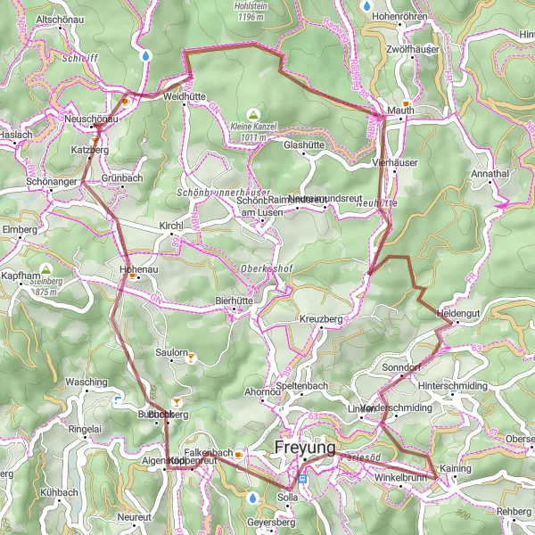
Enjoy breathtaking mountain views on this thrilling cycling route through Mauth, Kleine Kanzel, and Katzberg.
Indulge in the scenic beauty of the Bavarian mountainscape on this adventurous 36-kilometer gravel round-trip cycling route starting near Neuschönau. With an ascent of 899 meters and a difficulty level of 2, it offers a moderate challenge for intermediate riders. The epicness score of 2 highlights the stunning mountain vistas along the way. Explore the popular Baumwipfelpfad observation tower, marvel at the panoramic vistas from Kleine Kanzel, and conquer the slopes of Katzberg.
Embark on a thrilling forest adventure through Mauth, Freyung, and Aigenstadl!
This gravel round-trip cycling route starting near Neuschönau offers an exciting forest adventure covering a distance of 44 kilometers. With an elevation gain of 1075 meters and a difficulty level of 3, it is a suitable challenge for moderate-level riders. With an epicness score of 2, this route combines beautiful forest scenery with cultural highlights. Enjoy the unique experience of walking above the treetops on Baumwipfelpfad, explore the historic town of Freyung, and discover the quaint village of Aigenstadl along the way.
Cycling routes nearby:


Nearby regions: