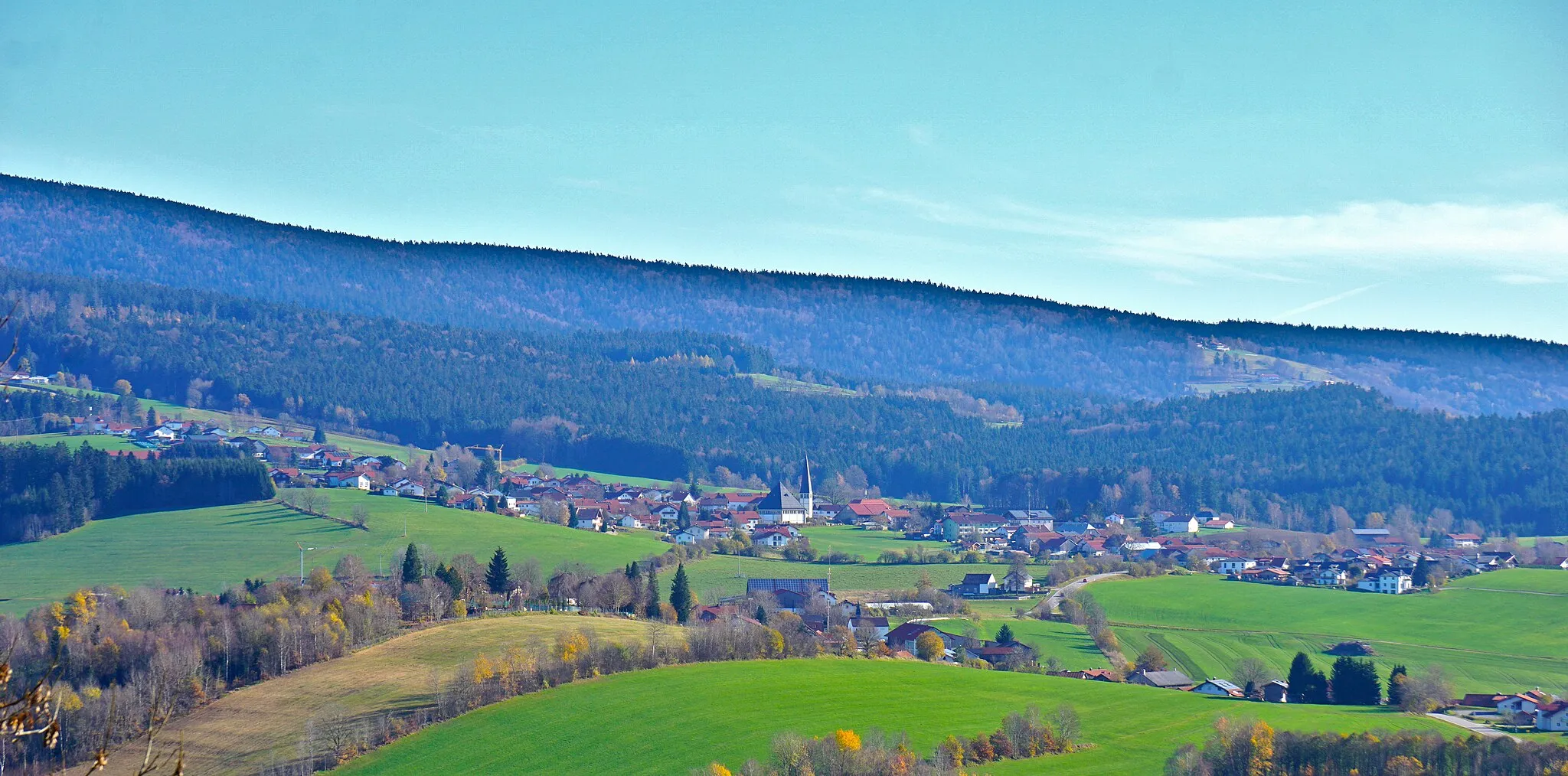
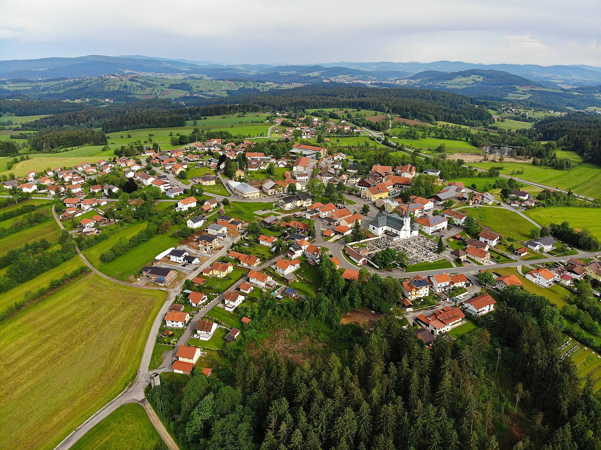
Immersing in nature and history in Freyung, Niederbayern
Cycling routes from Freyung
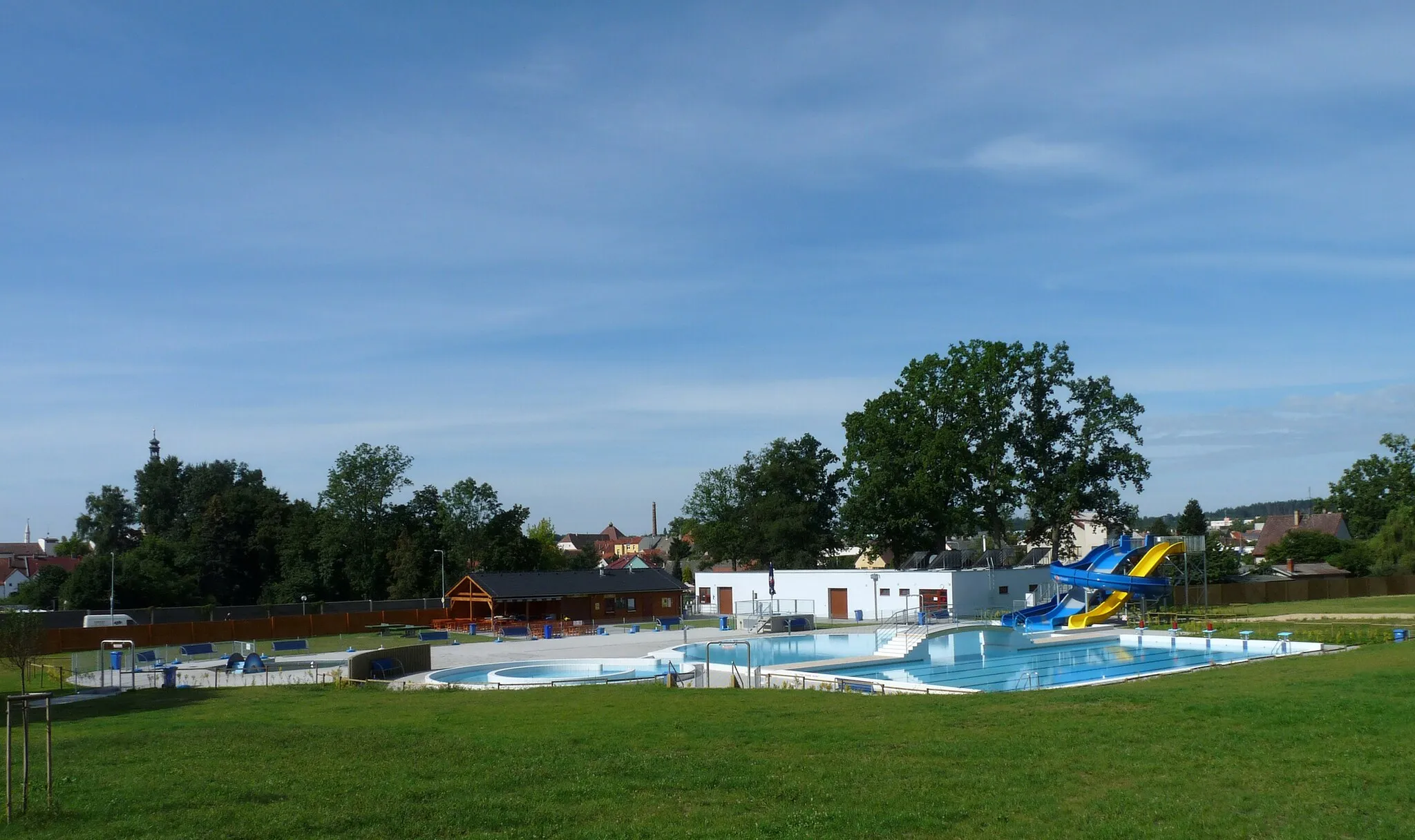
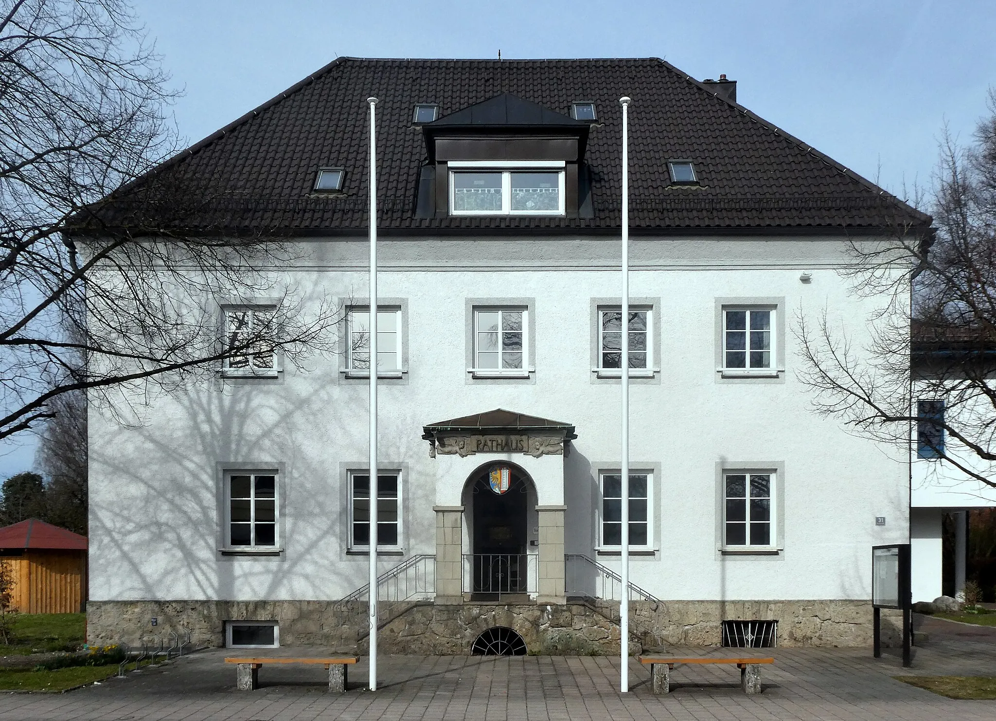
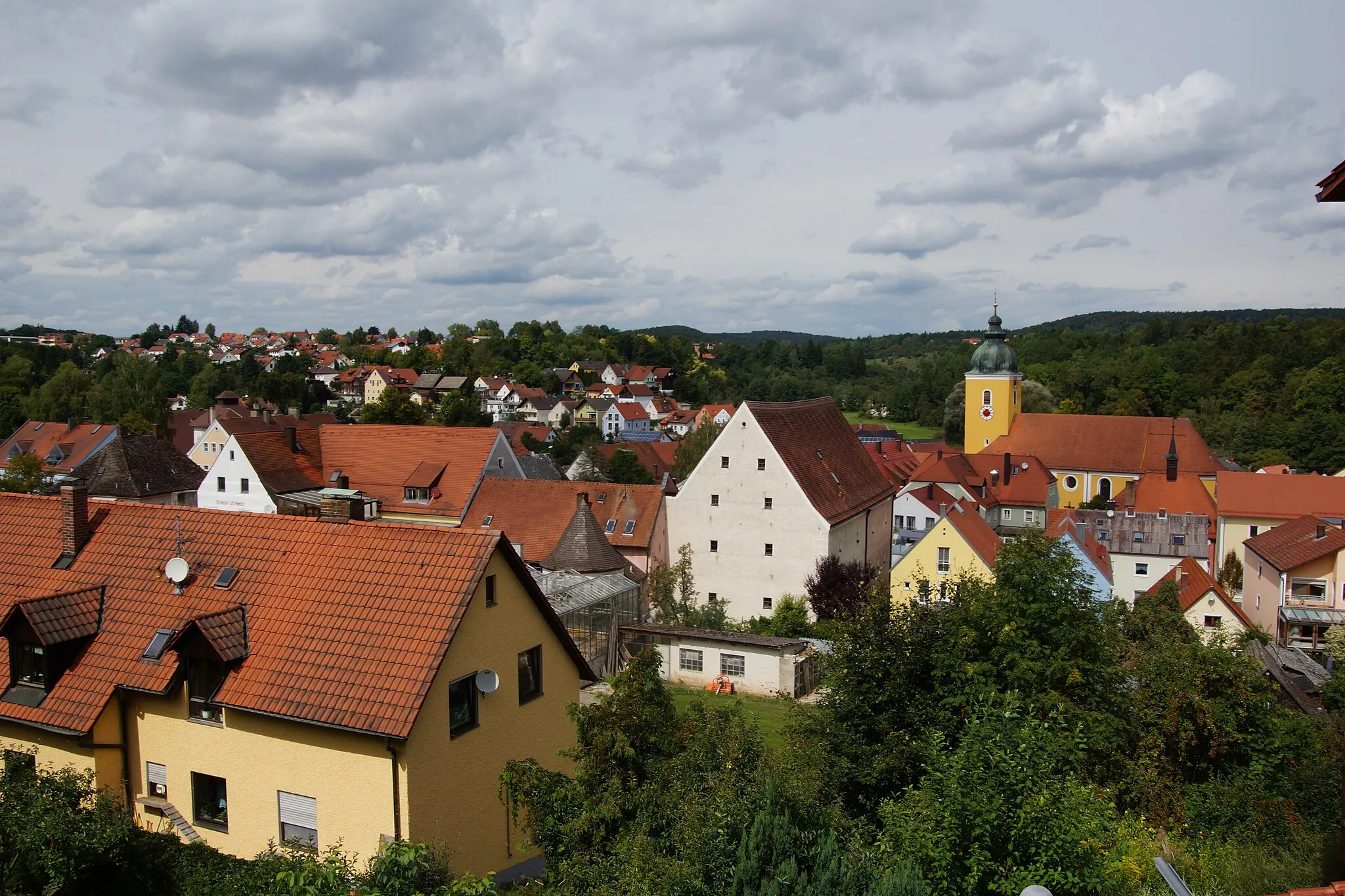
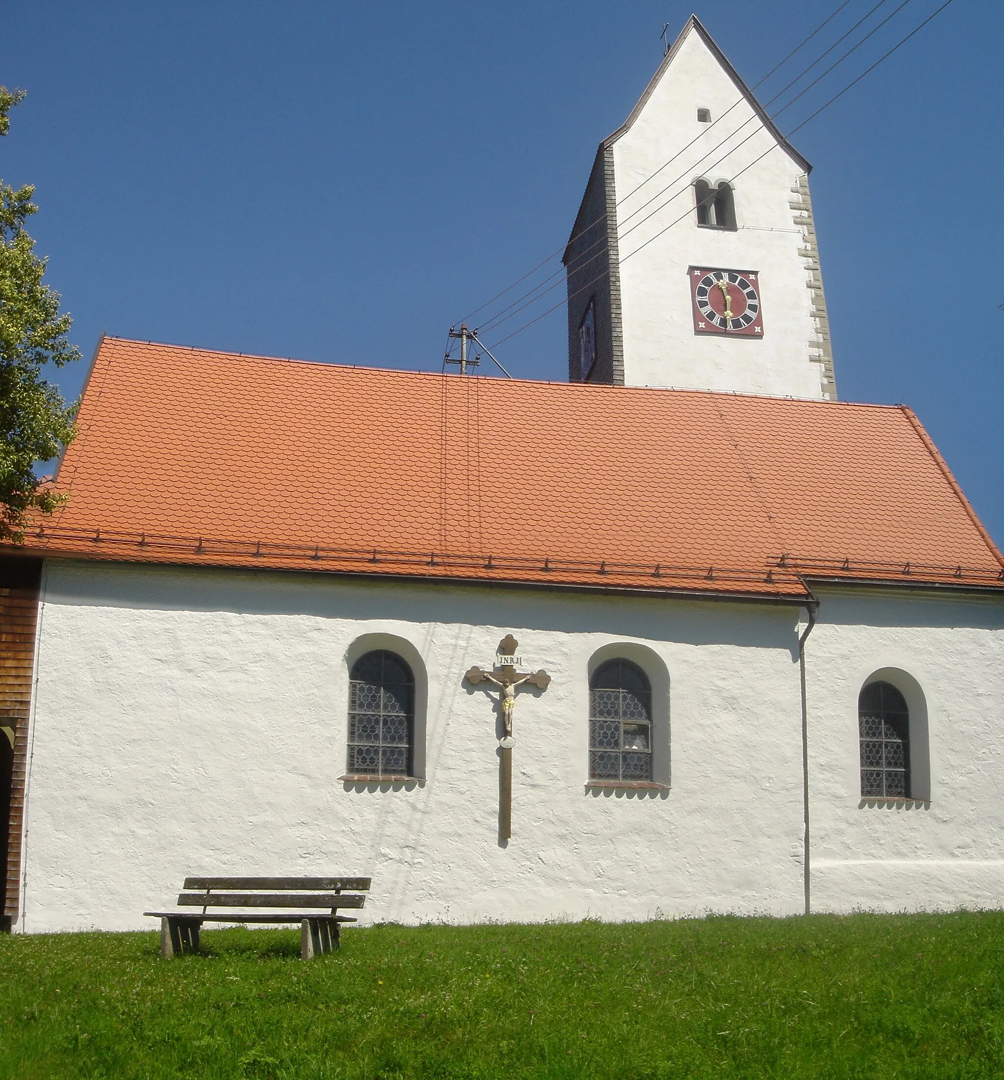
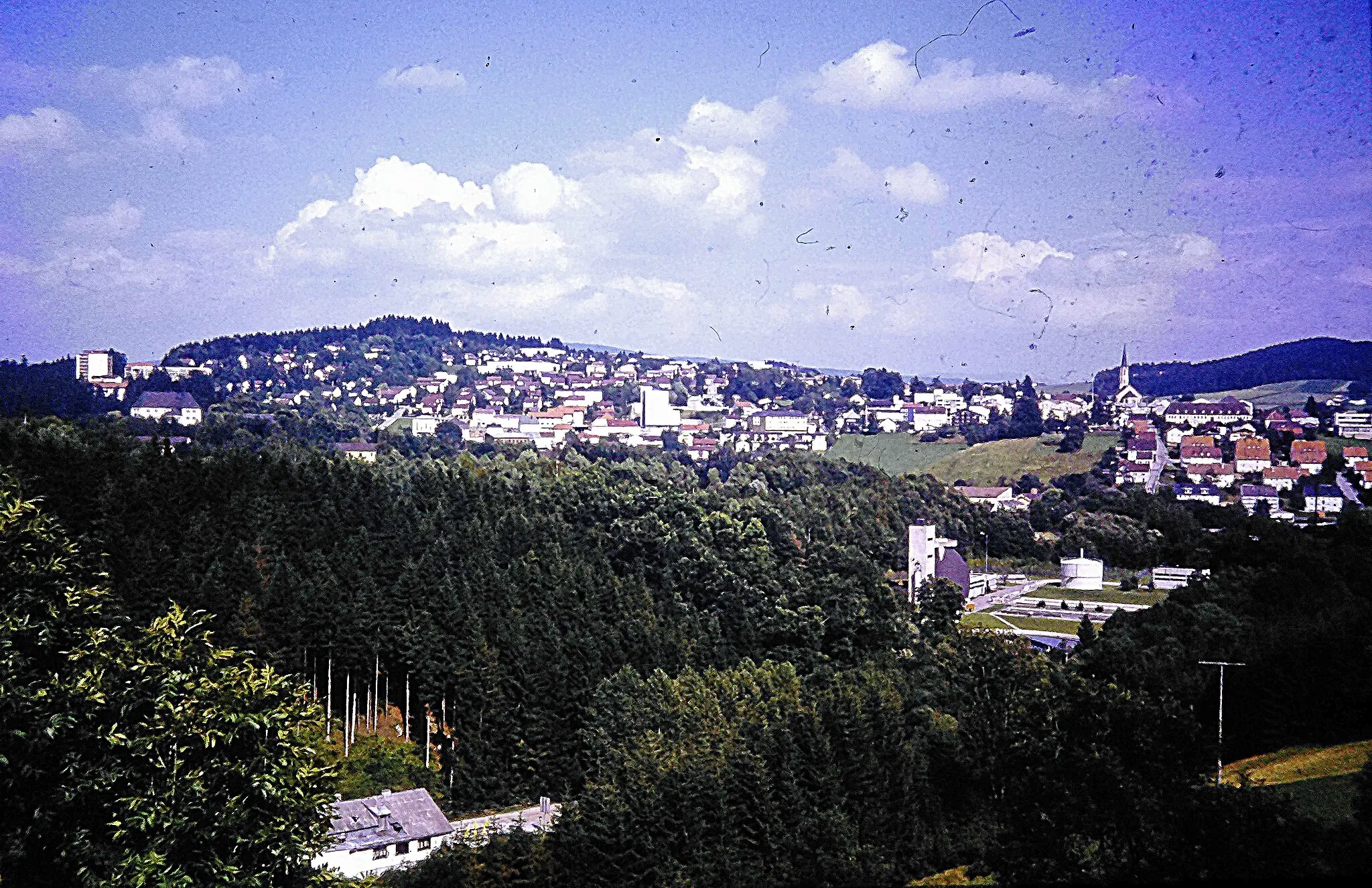
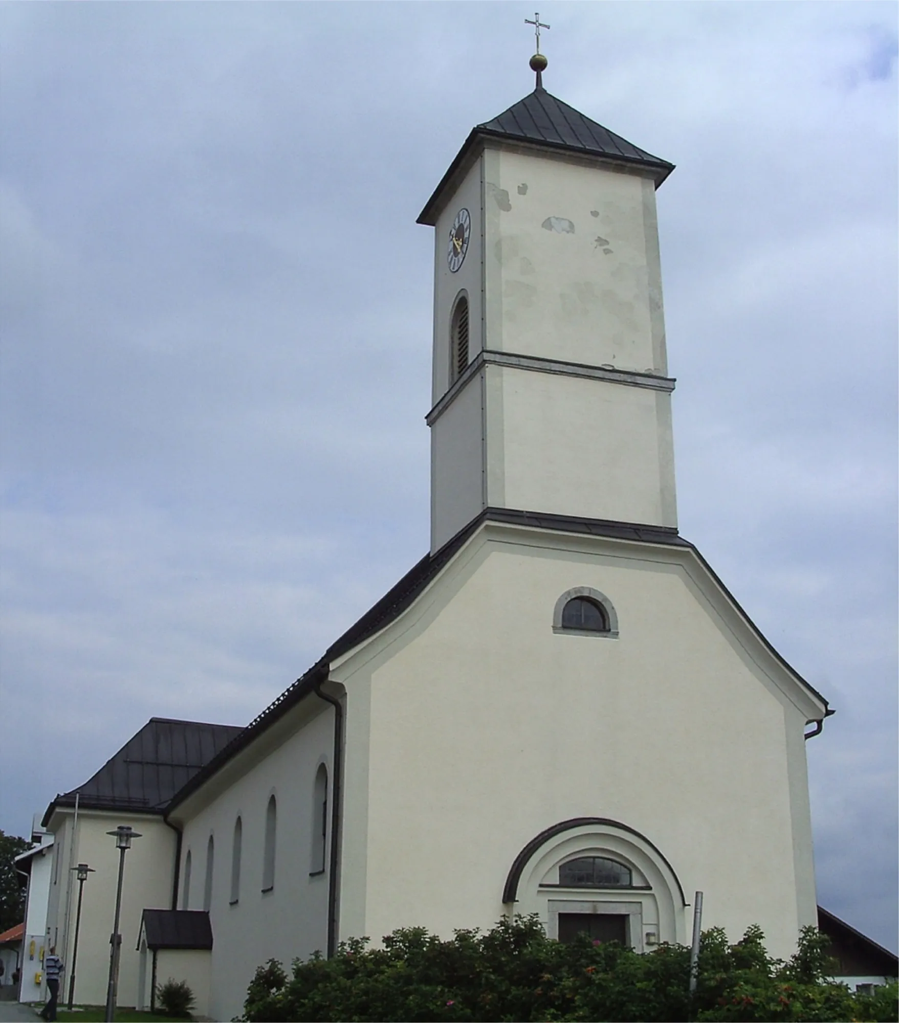
Freyung in Niederbayern, Germany, offers a peaceful retreat for cycling enthusiasts who enjoy a mixture of nature and cultural experiences. Road cyclists can savor the picturesque paths that wind through rural landscapes, passing by charming villages and historic landmarks. The region features rolling hills and panoramic views, ensuring an enjoyable workout and stunning scenery along the way. Gravel cyclists can delve into the forested areas and explore the network of trails, experiencing the beauty of the region's nature reserves. Freyung is also close to the Bavarian Forest National Park, home to scenic routes and abundant wildlife, making it an ideal destination for nature-loving cyclists.
An epic mountain biking adventure through the majestic Bavarian Forest
The Bayerischer Wald Adventure is an exhilarating route that takes you through the majestic Bavarian Forest. With a difficulty level of 4, it is recommended for experienced mountain bikers with a good level of fitness. The epicness of this route is rated 4 as well, thanks to the challenging terrain and breathtaking views. Overall, this route offers a thrilling mountain biking experience, allowing riders to immerse themselves in the untouched beauty of the forest.
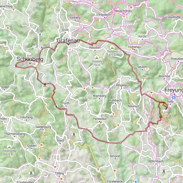
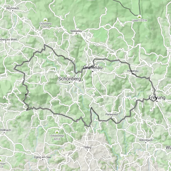
Experience the charm of the rural countryside while cycling through quaint villages and beautiful landscapes.
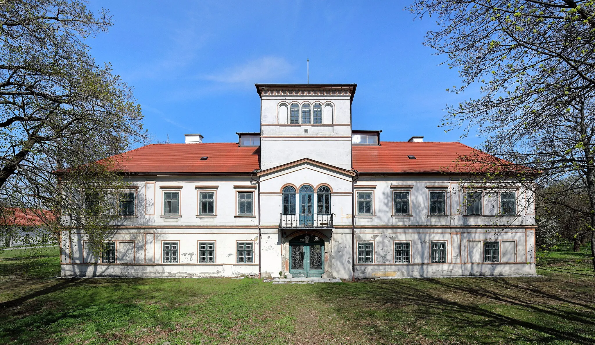
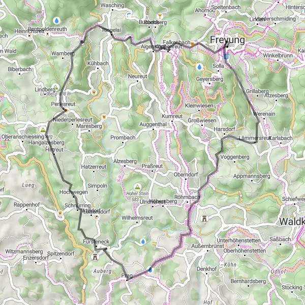
The Rural Delights route stretches over 55 km with an ascent of 1398 meters, offering a perfect mix of natural beauty and cultural attractions. This gravel route is ideal for cyclists who seek a moderate challenge and want to discover the region's hidden gems. Highlights include Kumreut, Bubikberg, Bauernberg, Schönberg, Grafenau, Steinberg, and Aigenstadl. Immerse yourself in the scenic countryside, ride along peaceful gravel paths, and explore the traditional villages of Lower Bavaria.
Wolfstein Loop
A challenging route showcasing the magnificent Schloß Wolfstein
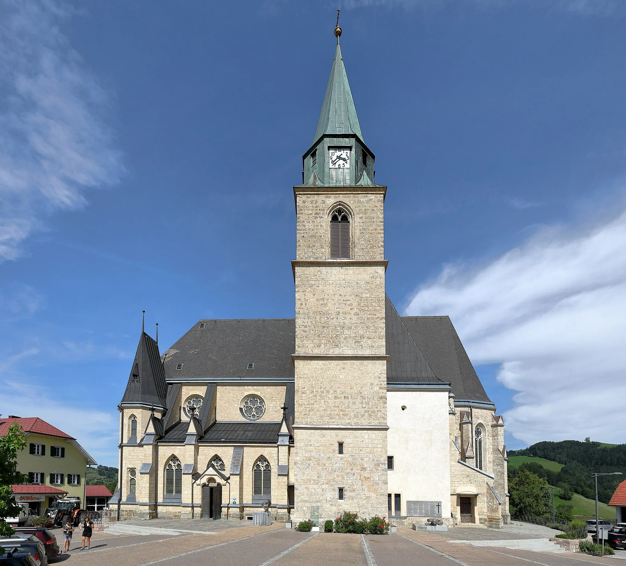
The Wolfstein Loop is a challenging route that showcases the magnificent Schloß Wolfstein and the natural beauty of the surrounding area. With a difficulty level of 5, this route is only recommended for highly trained cyclists with advanced climbing abilities. The epicness of the route is rated 4, thanks to the breathtaking scenery and the majestic castle. Overall, this route offers a thrilling cycling adventure, combining history and nature in one unforgettable experience.

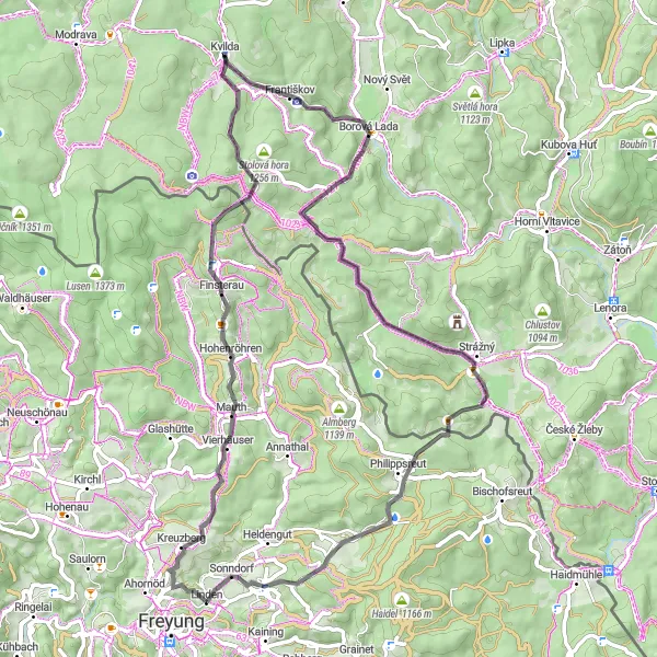
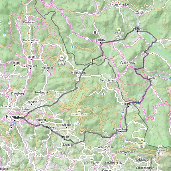
A thrilling road cycling route through the scenic landscapes of Bayerischer Wald
Embark on a remarkable journey through the picturesque surroundings of Niederbayern in Bayerischer Wald. This 87-kilometer road cycling route takes you through charming villages, dense forests, and stunning natural landmarks. Challenge yourself with a total ascent of 1,809 meters, as you enjoy breathtaking views along the way. Discover the beauty of Kvilda, Jezerní slať, Nad Pasekou, Michlova Huť, Žlíbský vrch, Strážný, Philippsreut, Mühlberg, and Oberndorf, each offering their own unique charm. From challenging climbs to serene moments of tranquility, this route will leave you mesmerized.
Rehberg Circuit
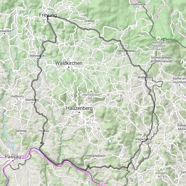
Cycle through scenic landscapes and experience breathtaking views along the Rehberg Circuit.
The Rehberg Circuit offers a challenging yet rewarding cycling experience. With a total distance of 102 km and an ascent of 1774 meters, it provides a great opportunity for very well-trained amateurs to test their skills. The route takes you through picturesque villages, lush forests, and stunning panoramic viewpoints. With highlights such as Stubenberg, Wegscheid, Ponzaun, Obernzell, and Thyrnau, you'll have plenty of reasons to stop and capture the beauty of the surroundings. The route also includes Büchlberg and Röhrnbach, offering cultural and historical attractions in addition to natural splendor.
Mauth Gravel Adventure
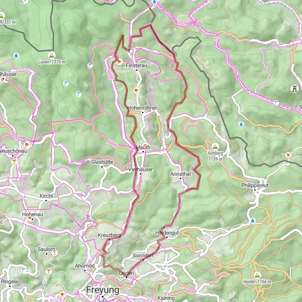
A thrilling off-road adventure through the rugged terrains near Mauth
This gravel route takes you off the beaten path, exploring the wild landscapes near Mauth. With a difficulty level of 3, it is suitable for experienced cyclists with some off-road biking skills. The epicness of the route is rated 3 as well, thanks to the rough terrains and picturesque views. Overall, this route offers a unique and challenging cycling experience, showcasing the natural beauty of the area.
Gravel Adventure
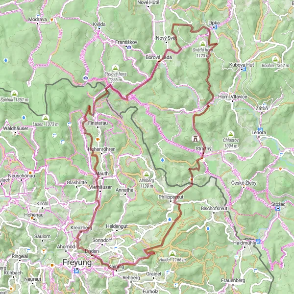
Embark on an epic gravel adventure through diverse terrains and experience the beauty of nature.
The Gravel Adventure route near Freyung takes you on a thrilling 84 km journey with an ascent of 1859 meters. This challenging route is ideal for experienced gravel cyclists who crave excitement and variety. Highlights such as Mauth, Bučina, Chalupská Slat, Michlova Huť, Světlá hora, Strážný, and Vorderschmiding offer unique natural landmarks and cultural attractions. You'll ride through dense forests, traverse mountainous terrain, and enjoy scenic views. Discover the hidden gems of the region while experiencing the thrill of off-road cycling.
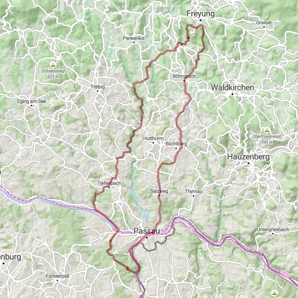
Röhrnbach Circuit
A scenic route exploring the beautiful landscapes of Röhrnbach
This route takes you through the picturesque town of Röhrnbach, offering breathtaking views of the surrounding countryside. With a moderate difficulty level, it is suitable for well-trained amateurs. The epicness of the route is rated a solid 3, as it offers some challenging sections but does not include any legendary climbs or famous spots. Overall, this route provides a charming cycling experience with its mix of natural beauty and cultural highlights.
Explore the Gravel Paths
Embark on an exciting gravel adventure and explore the hidden gems of the region.
The Explore the Gravel Paths route offers a thrilling 89 km ride with an ascent of 1719 meters. This gravel adventure is perfect for adventurous cyclists who seek challenging terrains and scenic landscapes. Highlights such as Röhrnbach, Büchlberg, Wetterpilz, Heining, Kastenberg, Fürsteneck, and Geyersberg provide a perfect blend of natural and cultural attractions. Immerse yourself in the beauty of the Bavarian countryside, traverse rugged paths, and discover the diversity of the region.
Conquer the lofty peaks of Almberg on this challenging cycling route
The Almberg Challenge is a demanding route that takes adventurous cyclists to the lofty peaks of Almberg. With a difficulty level of 5, this route is only recommended for experienced riders with excellent endurance and climbing abilities. The epicness of the route is rated 4, thanks to the exhilarating climbs and scenic landscapes. Overall, this route promises an unforgettable experience for those seeking a true cycling challenge.
Cycling routes nearby:


Nearby regions: