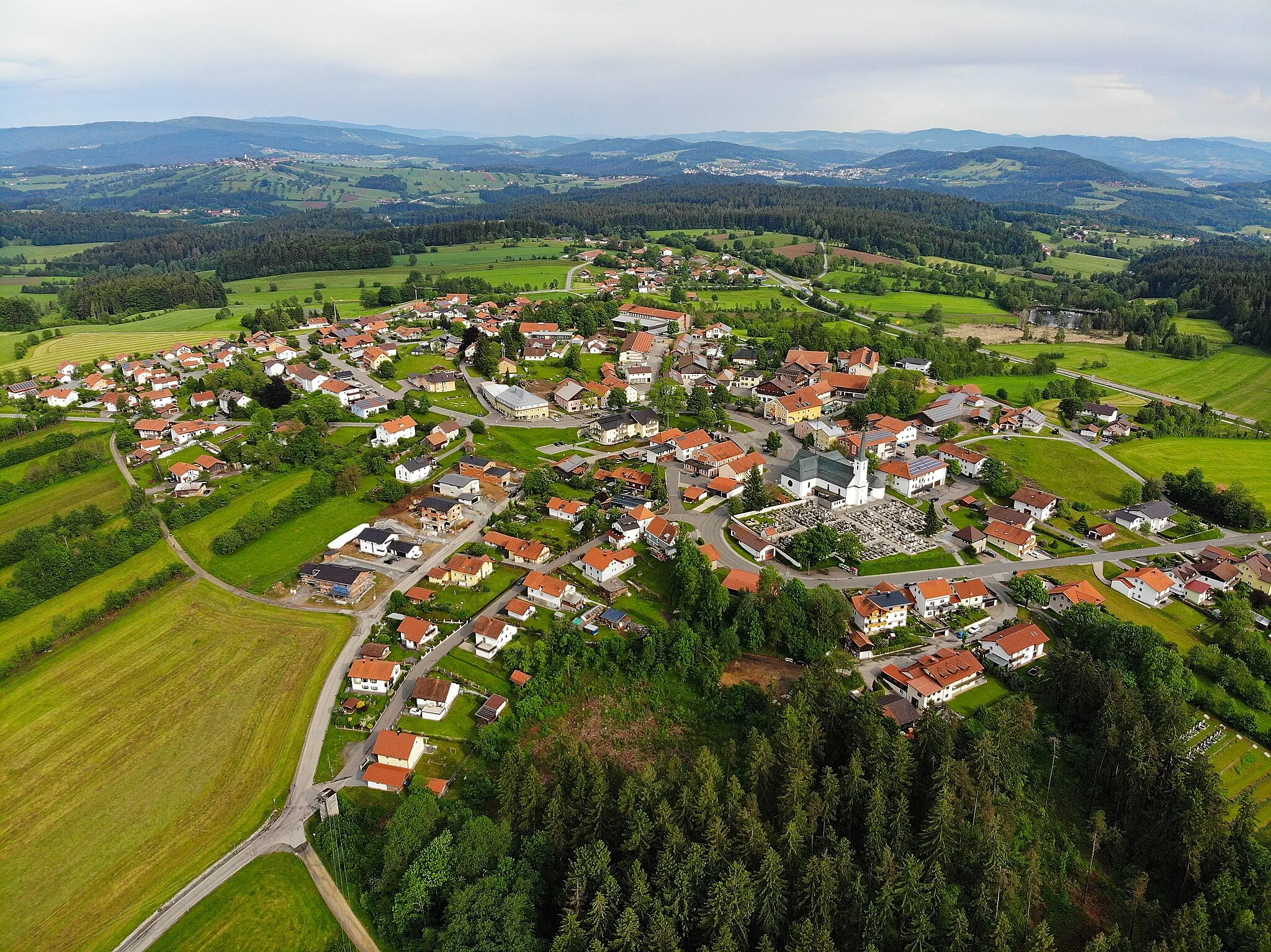
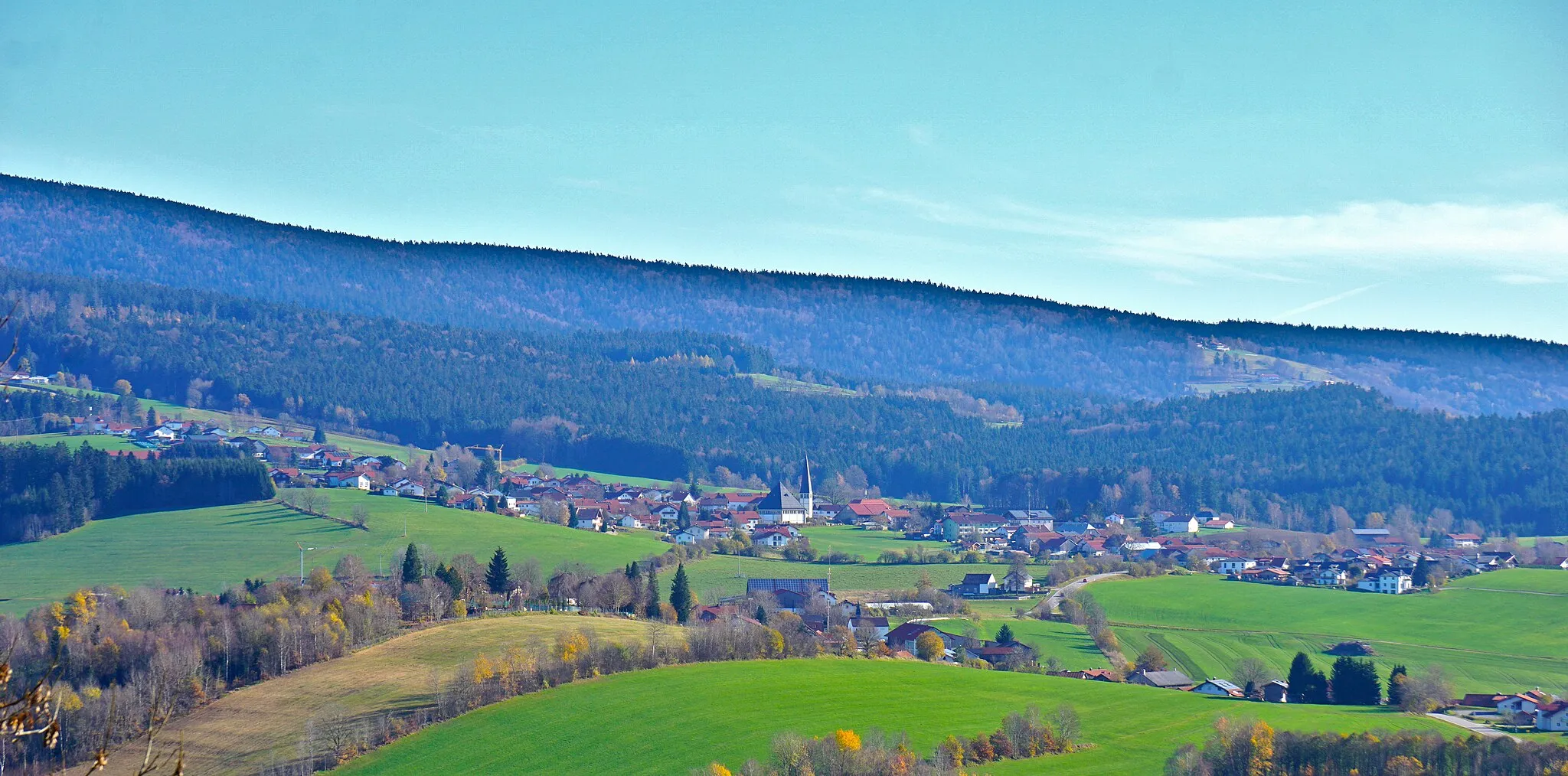
Embark on an outdoor adventure in Bavarian Forest National Park from Hohenau
Cycling routes from Hohenau
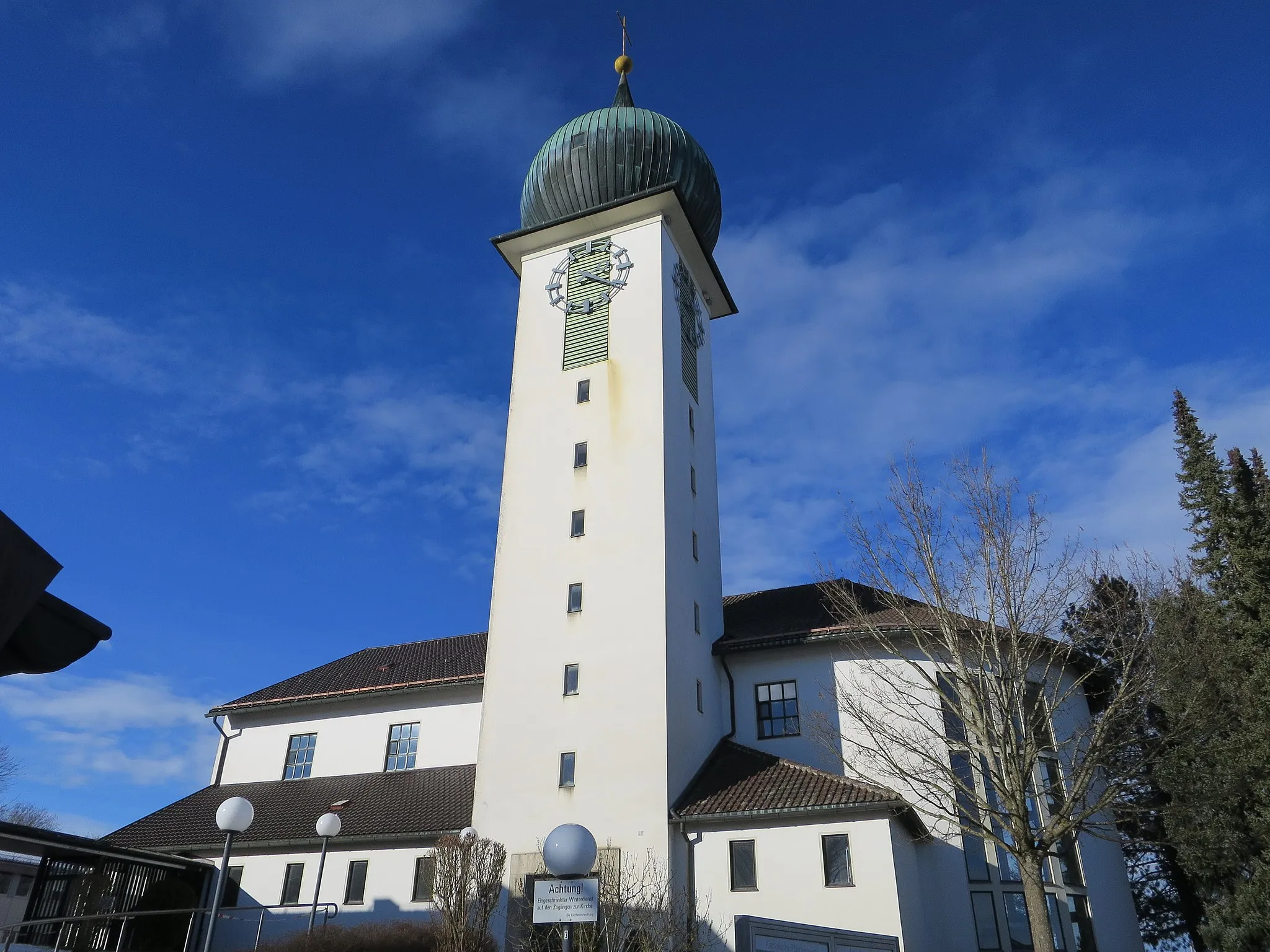
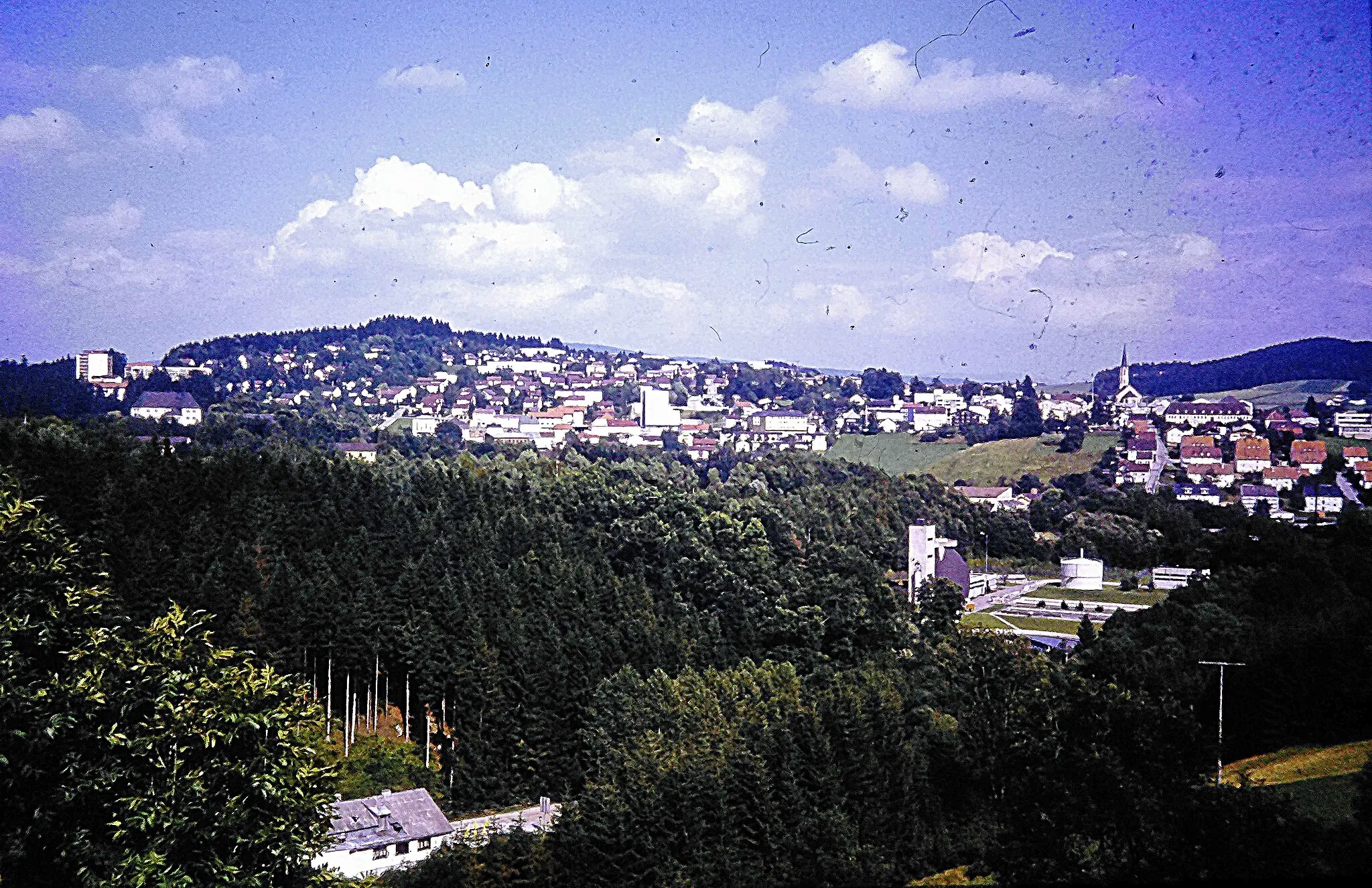
Hohenau, located in Niederbayern, Germany, offers an average experience for road and gravel cyclists. The town itself doesn't have prominent cycling-related spots or famous cycling climbs. However, Hohenau provides access to the beautiful Bavarian Forest National Park, renowned for its stunning natural landscapes and diverse wildlife. Cyclists can explore the forest's well-marked cycling routes, offering a combination of gentle paths and more demanding trails in the mountainous terrain. Hohenau's proximity to the Bavarian Forest National Park makes it a suitable starting point for cyclists seeking outdoor adventures in Niederbayern.
Hohenau to Lindberg
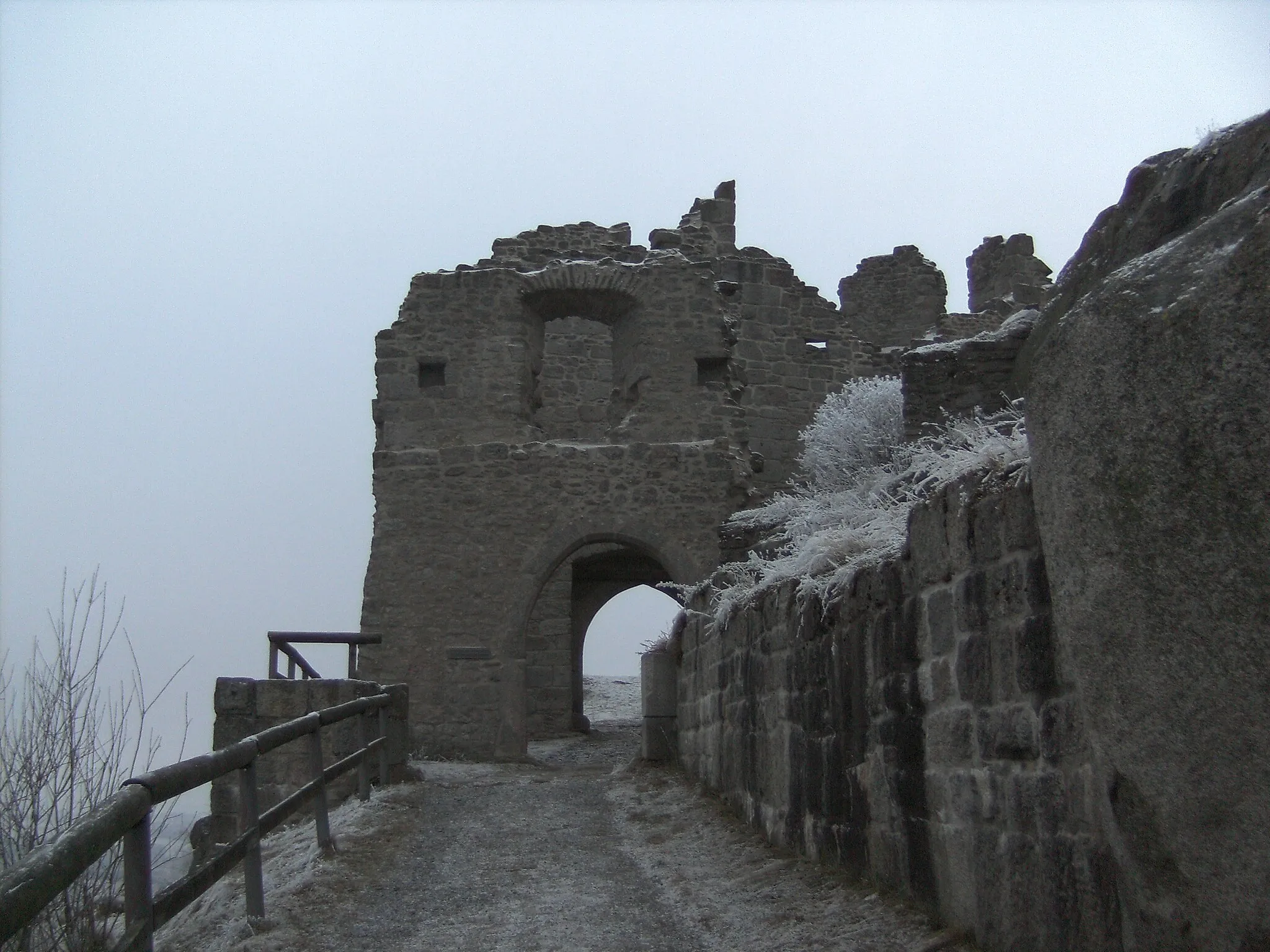
Experience the historical Wolfstein Castle and enjoy the beautiful views from Veste Oberhaus.
This road cycling route takes you on a 105 km journey from Hohenau to Lindberg. Along the way, you will encounter numerous highlights, including the stunning Schloß Wolfstein and the scenic Veste Oberhaus. The route has a total ascent of 2165 meters, making it moderately challenging for well-trained amateurs. With its mix of historical landmarks and natural beauty, this route promises a memorable cycling experience. The epicness of this route is rated as 3, offering an enjoyable and scenic ride.

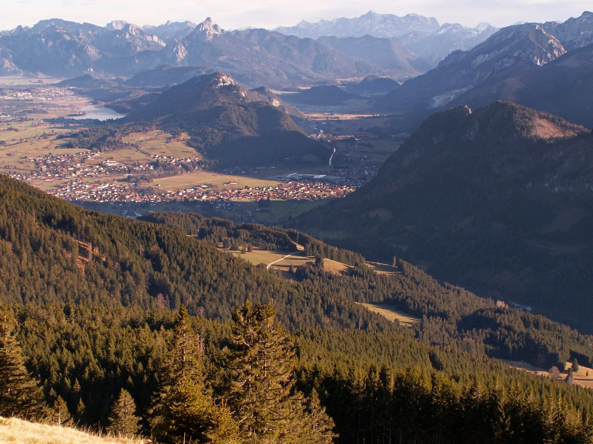
Climb the Arber Pass and enjoy stunning landscapes along the way.
The Arber Pass Loop is a challenging road cycling route that takes you through the beautiful landscapes near Hohenau. This route features a total ascent of 1148 meters over a distance of 62 kilometers. Starting from Hohenau, you will climb the renowned Arber Pass, which offers breathtaking views of the surrounding mountains. The descent back to Hohenau will make you feel like flying as you enjoy the exhilarating downhill ride.
Mauth Gravel Adventure
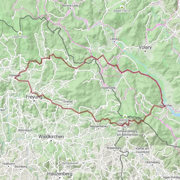
Embark on an epic gravel adventure and conquer the challenging České Žleby and Nová Pec.
Prepare for an exciting gravel adventure with this 101 km route starting from Mauth. With an impressive ascent of 2173 meters, this route offers a thrilling challenge for gravel enthusiasts. Highlights along the way include České Žleby and Nová Pec, known for their picturesque landscapes and challenging trails. The jaw-dropping Teufelsschüssel and the scenic Freyung add to the excitement of this epic journey. Ranked as a 5 on the epicness scale, this route promises an unforgettable adventure through the rugged terrains of Bavaria.
Conquer the highest peaks on this challenging road cycling route
This road round-trip cycling route near Hohenau spans 87 kilometers and boasts a total ascent of 1,666 meters. Perfect for avid road cyclists seeking a challenge, this tour offers breathtaking landscapes and legendary climbs. The difficulty level of this route is rated 5 out of 5, making it suitable for experienced cyclists.
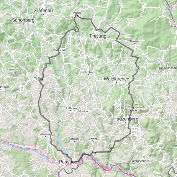
Experience the beauty of the Passau countryside on this scenic cycling route
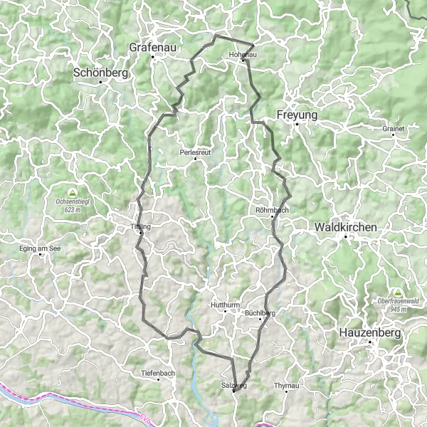
Explore the stunning countryside surrounding Passau on this scenic cycling route. With a total ascent of 1582 meters and a distance of 81 kilometers, it offers a challenging ride through picturesque landscapes. Highlights along the route include Aigenstadl, a charming village with traditional Bavarian architecture, Röhrnbach, known for its beautiful hilltop views, and Tittling, home to a fascinating open-air museum. The difficulty level of this route is rated 3 out of 5, making it suitable for cyclists with moderate experience.
The Gravel Adventure

Embark on an exciting gravel adventure through the Bavarian countryside.
The Gravel Adventure route is designed for gravel bike enthusiasts looking for a thrilling off-road experience. With an ascent of 831 meters and a distance of 37 kilometers, this route will take you through the scenic landscapes near Hohenau. Get ready to conquer steep climbs, fly down adrenaline-pumping descents, and immerse yourself in the tranquility of nature.
Aiga to Grafenau

Cycle through picturesque landscapes and visit the charming town of Grafenau.
Experience the beauty of the Bavarian countryside with this road cycling route from Aiga to Grafenau. Clocking in at 84 km with an ascent of 1813 meters, this route offers a moderate challenge for cyclists. Along the way, you'll encounter highlights such as Aigenstadl and Hutthurm, which showcase the region's picturesque landscapes. The route culminates in the town of Grafenau, where you can explore historical sites and soak in the local culture. With its mix of natural beauty and cultural attractions, this route guarantees an unforgettable cycling experience. The epicness of this route is rated as 3, offering an enjoyable journey through picturesque surroundings.
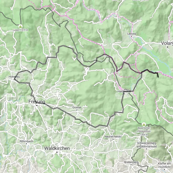
The Gravel Adventure

Embark on a thrilling gravel adventure with stunning views along the way
This round-trip cycling route starting near Hohenau takes gravel enthusiasts on a 63-kilometer journey with a total ascent of 1,464 meters. Offering a unique and distinctive experience, this route is perfect for those seeking an off-road cycling adventure. The difficulty level of this tour is rated 4 out of 5, making it suitable for very well-trained amateurs.

Experience the beauty of the Bavarian Forest on this iconic road cycling route.
The Bavarian Forest Loop takes you through stunning landscapes as you explore the enchanting Bavarian Forest. With a total ascent of 1257 meters spread over 52 kilometers, this route will challenge your climbing skills and reward you with unforgettable views. Starting from Hohenau, you will ride through quaint villages, dense forests, and meandering roads that snake their way through majestic mountains.
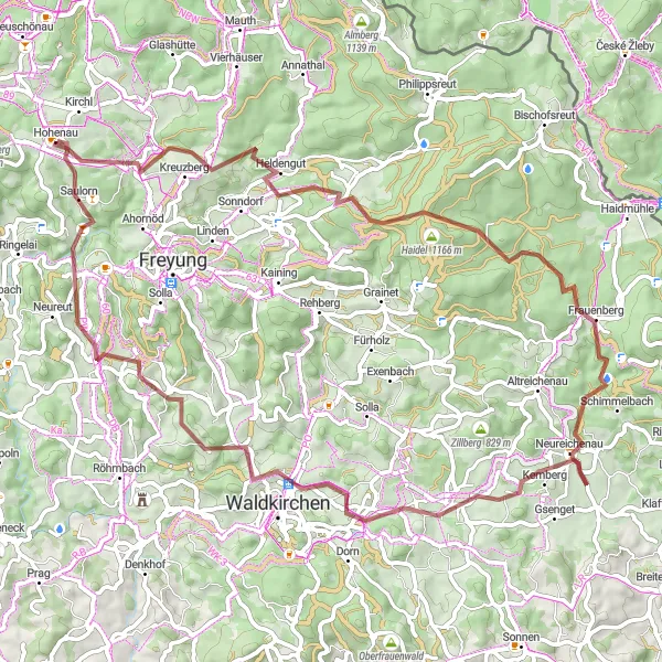
Embark on a thrilling gravel adventure and discover hidden gems like Großwiesen and Saulorn.
Step out of your comfort zone with this challenging gravel route from Hohenau. With a total distance of 73 km and an ascent of 1544 meters, this route offers a thrilling adventure for experienced cyclists. Highlights along the way include the picturesque towns of Großwiesen and Saulorn. The route is suitable for gravel bikes and promises a mix of gravel paths, dirt roads, and scenic trails. Overall, this route is rated as an epic adventure with a rating of 4, perfect for cyclists seeking an unconventional and exciting experience.
Cycling routes nearby:


Nearby regions: