The Arber Pass Loop
A road cycling route starting from Hohenau
Climb the Arber Pass and enjoy stunning landscapes along the way.
Map

The Arber Pass Loop is a challenging road cycling route that takes you through the beautiful landscapes near Hohenau. This route features a total ascent of 1148 meters over a distance of 62 kilometers. Starting from Hohenau, you will climb the renowned Arber Pass, which offers breathtaking views of the surrounding mountains. The descent back to Hohenau will make you feel like flying as you enjoy the exhilarating downhill ride.
road
62 km
1148 m
Tough
Route profile
Highlights on the route
0 km
0 km
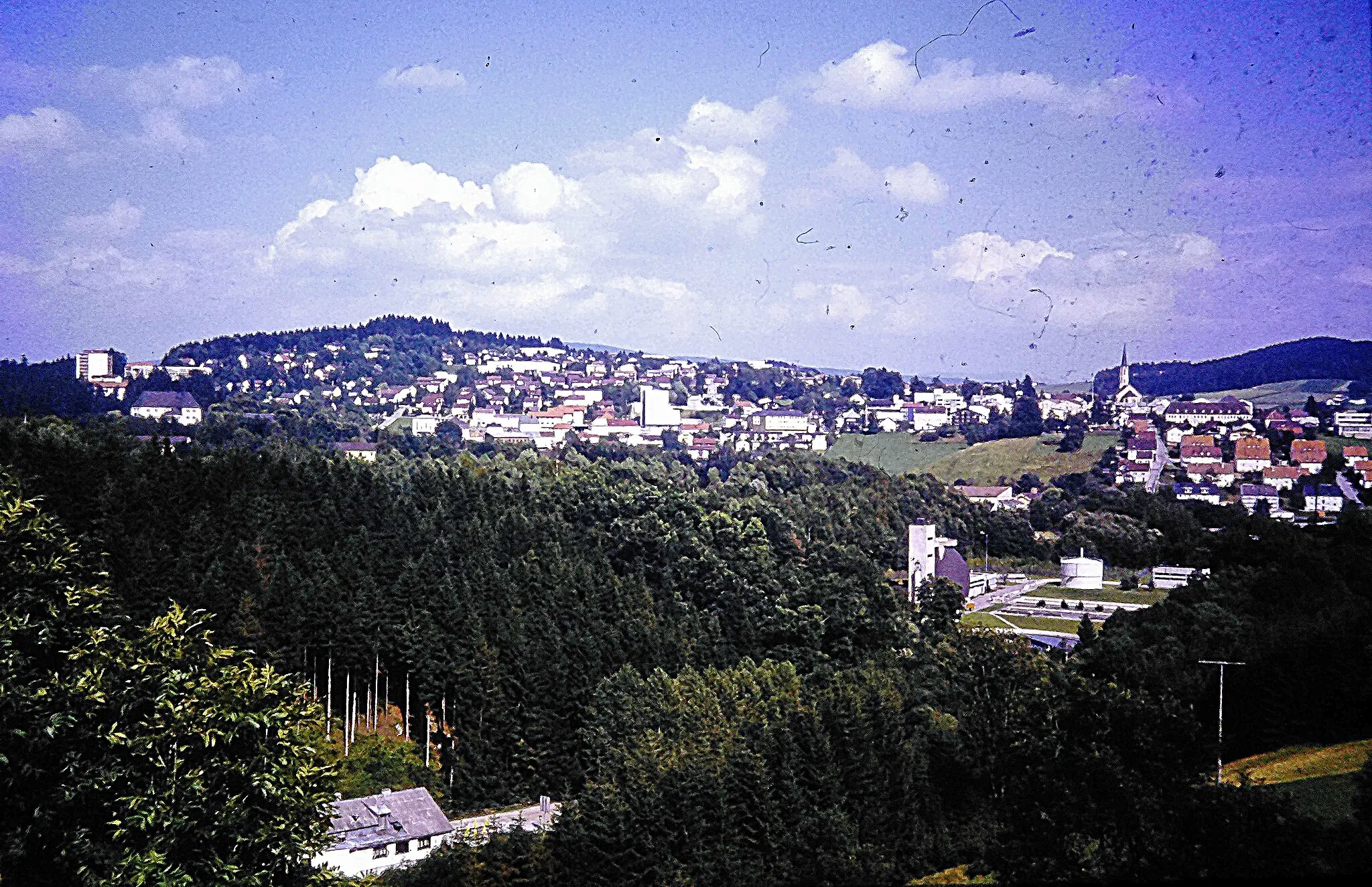
Start: Hohenau Village centerHohenau: Embark on an outdoor adventure in Bavarian Forest National Park from Hohenau
Hohenau, located in Niederbayern, Germany, offers an average experience for road and gravel cyclists. The town itself doesn't have prominent cycling-related spots or famous cycling climbs. However, Hohenau provides access to the beautiful Bavarian Forest National Park, renowned for its stunning natural landscapes and diverse wildlife. Cyclists can explore the forest's well-marked cycling routes, offering a combination of gentle paths and more demanding trails in the mountainous terrain. Hohenau's proximity to the Bavarian Forest National Park makes it a suitable starting point for cyclists seeking outdoor adventures in Niederbayern.4 km
4 km
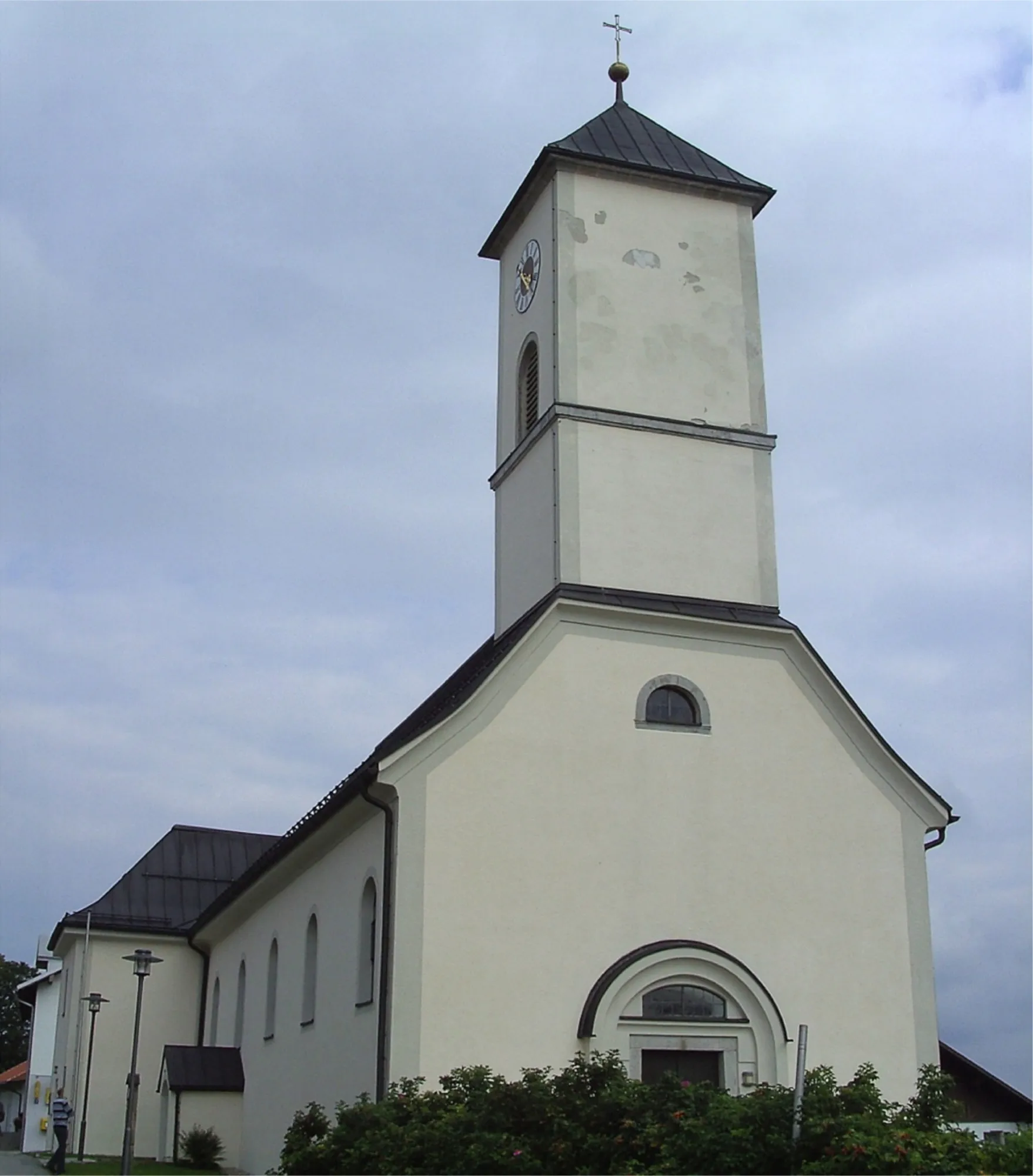
SchönangerVillageSchönanger is a picturesque village located along the route, offering a serene atmosphere and charming traditional Bavarian architecture.
10 km
10 km
Bienstand865 mPeakBienstand is a popular viewpoint where you can admire panoramic views of the surrounding valleys and mountains.
27 km
27 km
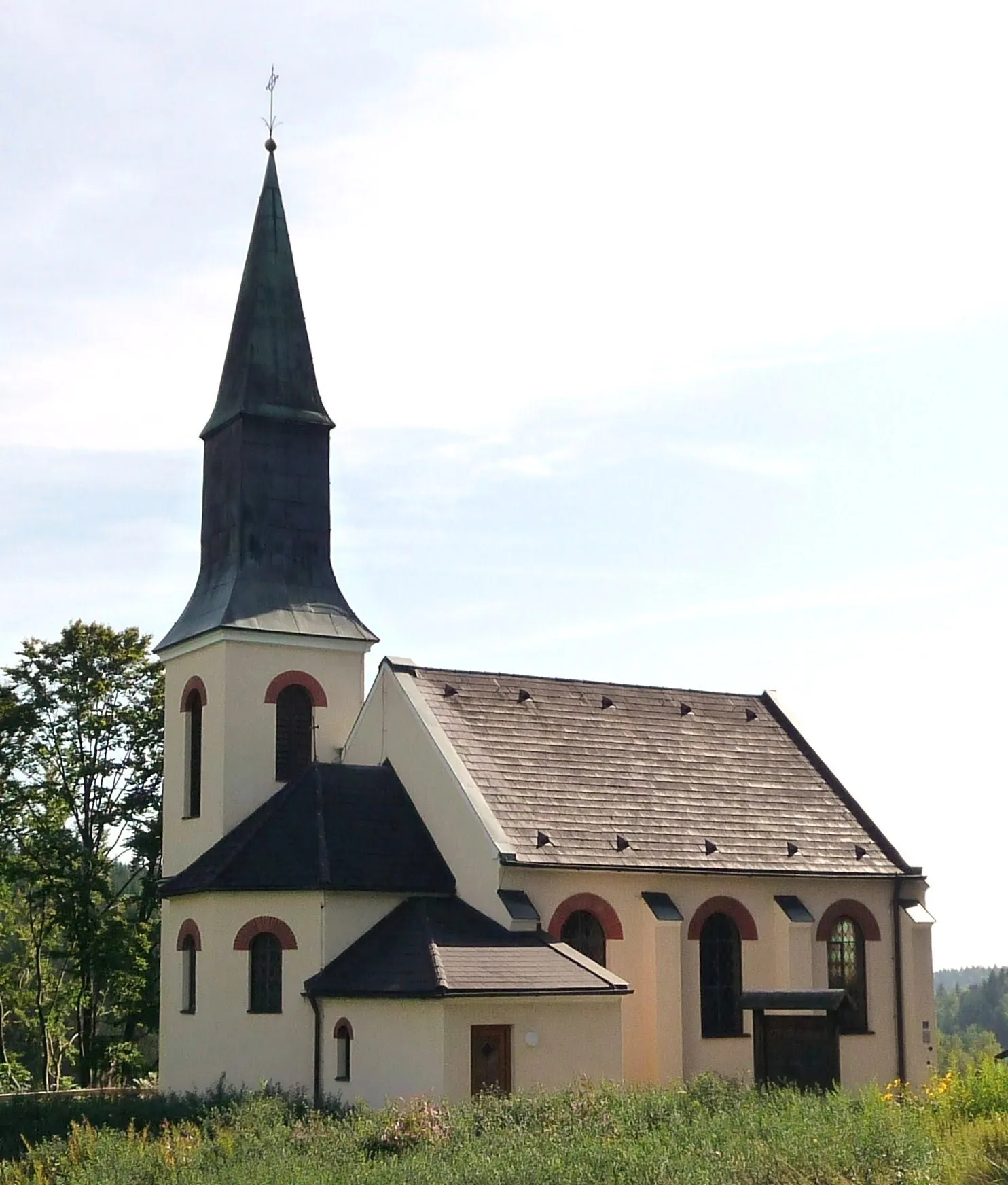
FrauenauVillageFrauenau is a charming town known for its glass production, and you can visit the local glassworks to witness traditional craftsmanship.
42 km
42 km
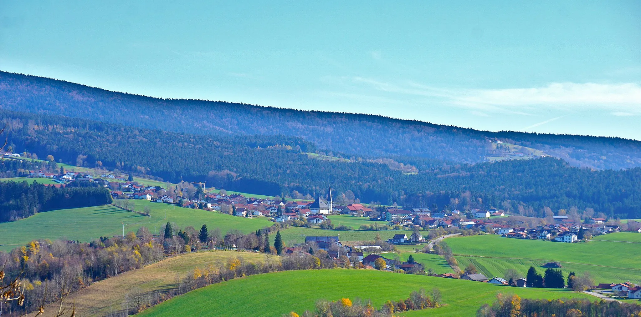
SpiegelauVillageSpiegelau is a quaint town situated in the heart of the Bavarian Forest, surrounded by picturesque landscapes. Take a moment to explore its charming streets and enjoy some local cuisine.
48 km
48 km
GroßarmschlagVillageGroßarmschlag is a small village known for its traditional farming practices. Take a break here and experience the peaceful ambiance of rural Bavaria.
59 km
59 km
Steinberg875 mPeakSteinberg is a legendary cycling spot known for its challenging ascent. Ride through this iconic climb and test your skills on the bike.
62 km
62 km
Finish: Hohenau Village centerHohenau: Embark on an outdoor adventure in Bavarian Forest National Park from Hohenau
Cycling routes nearby: