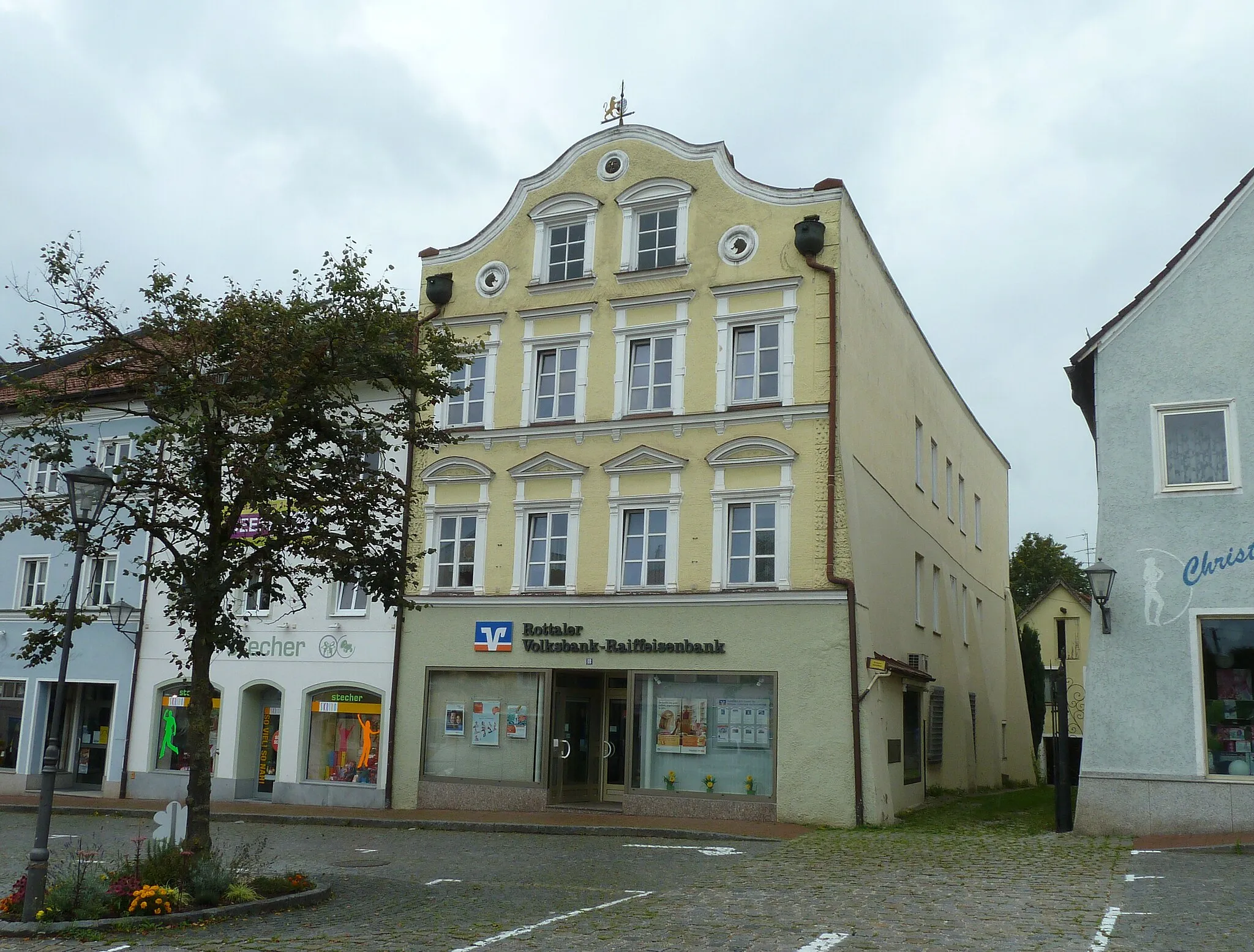
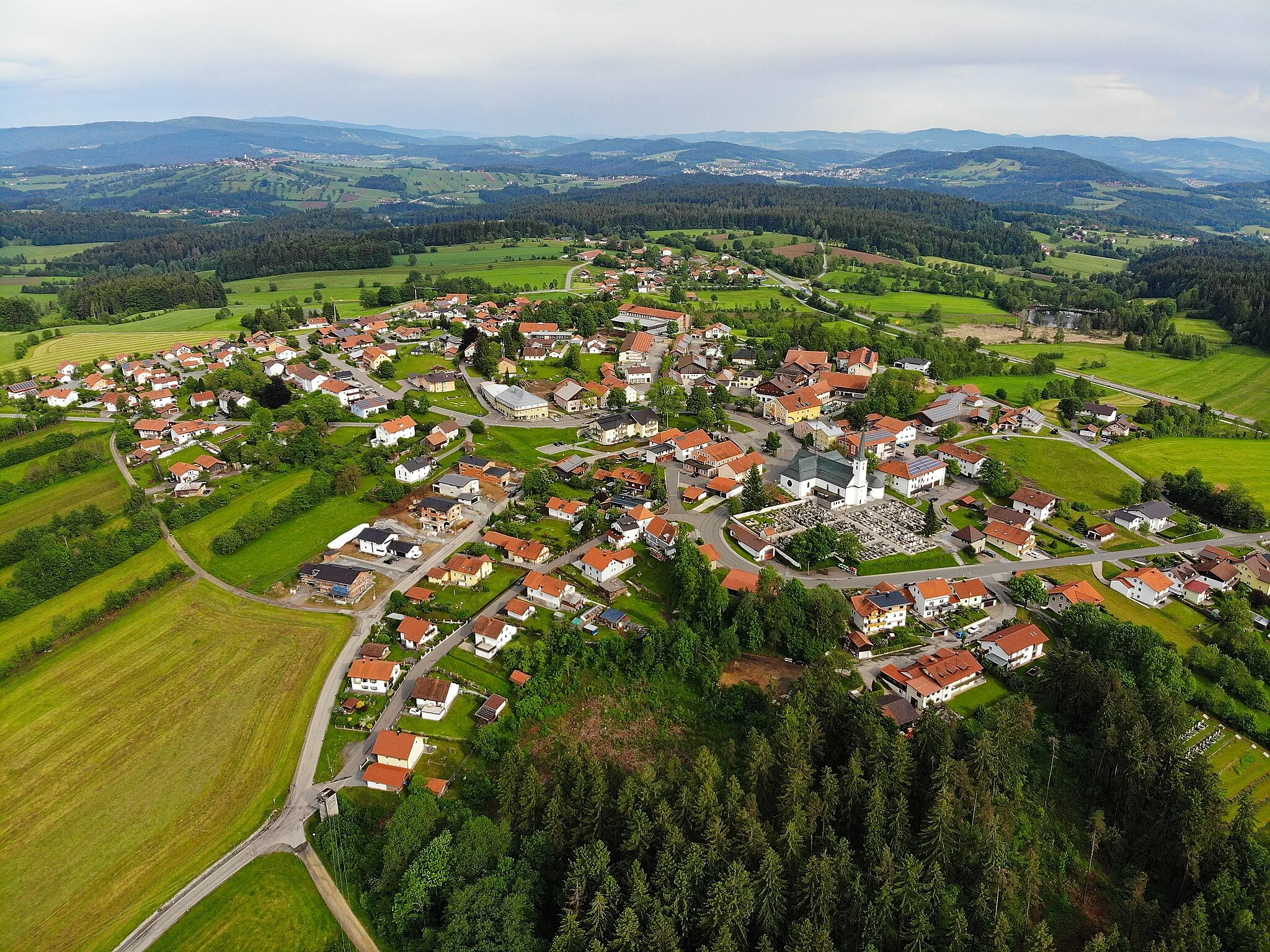
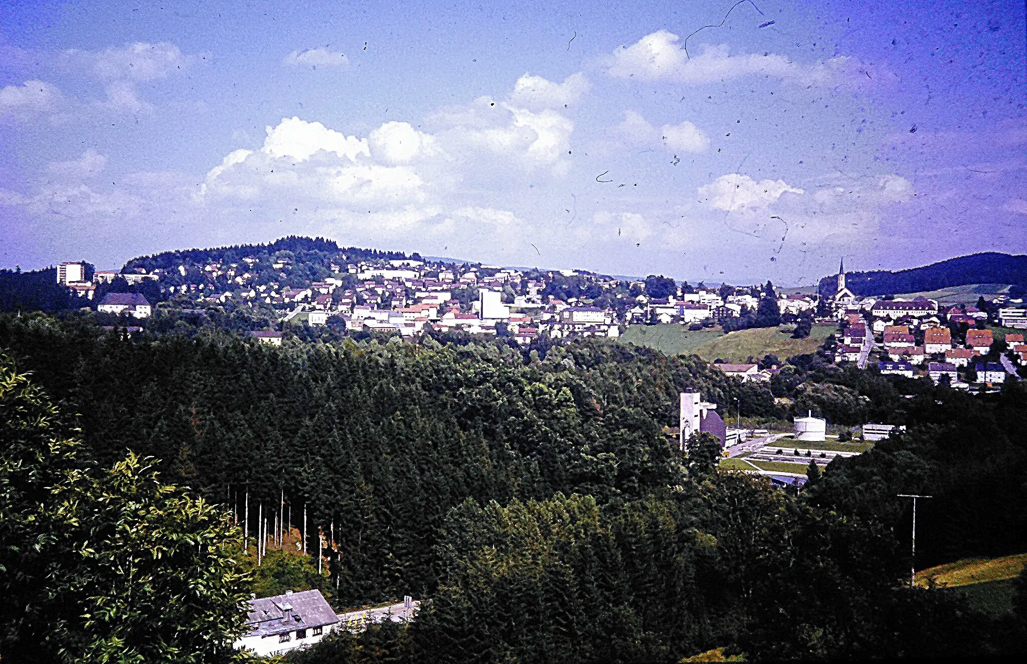
Immersing in nature's embrace while cycling in Ringelai
Cycling routes from Ringelai
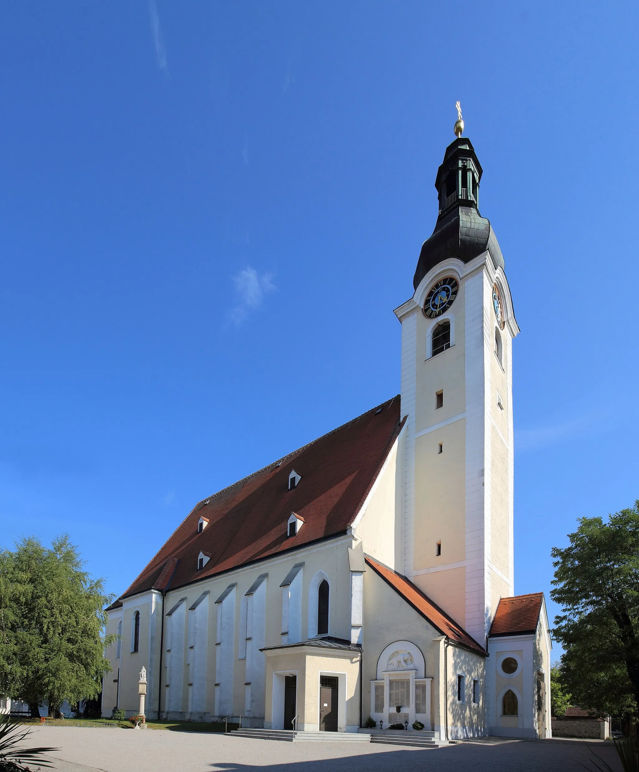
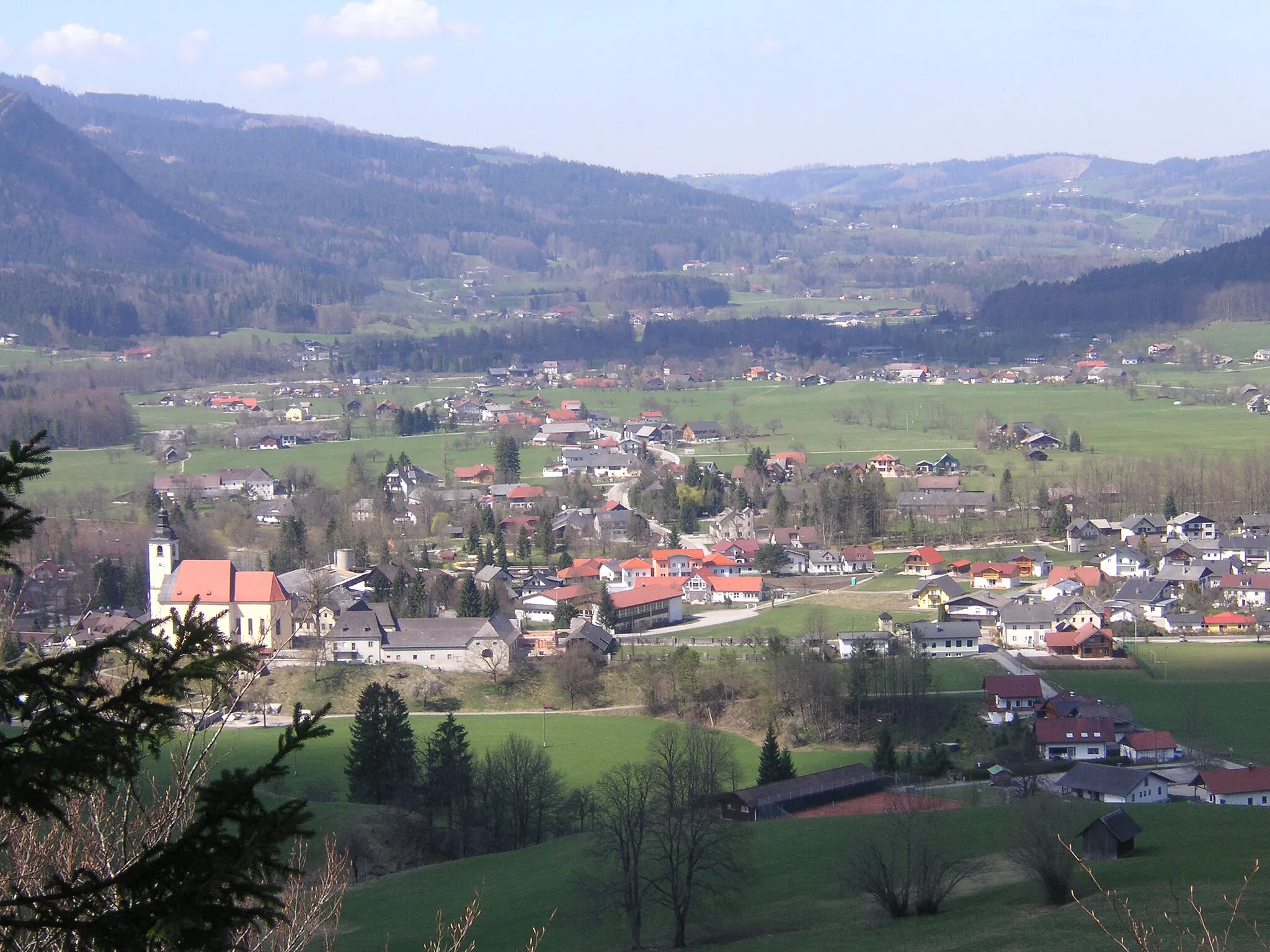
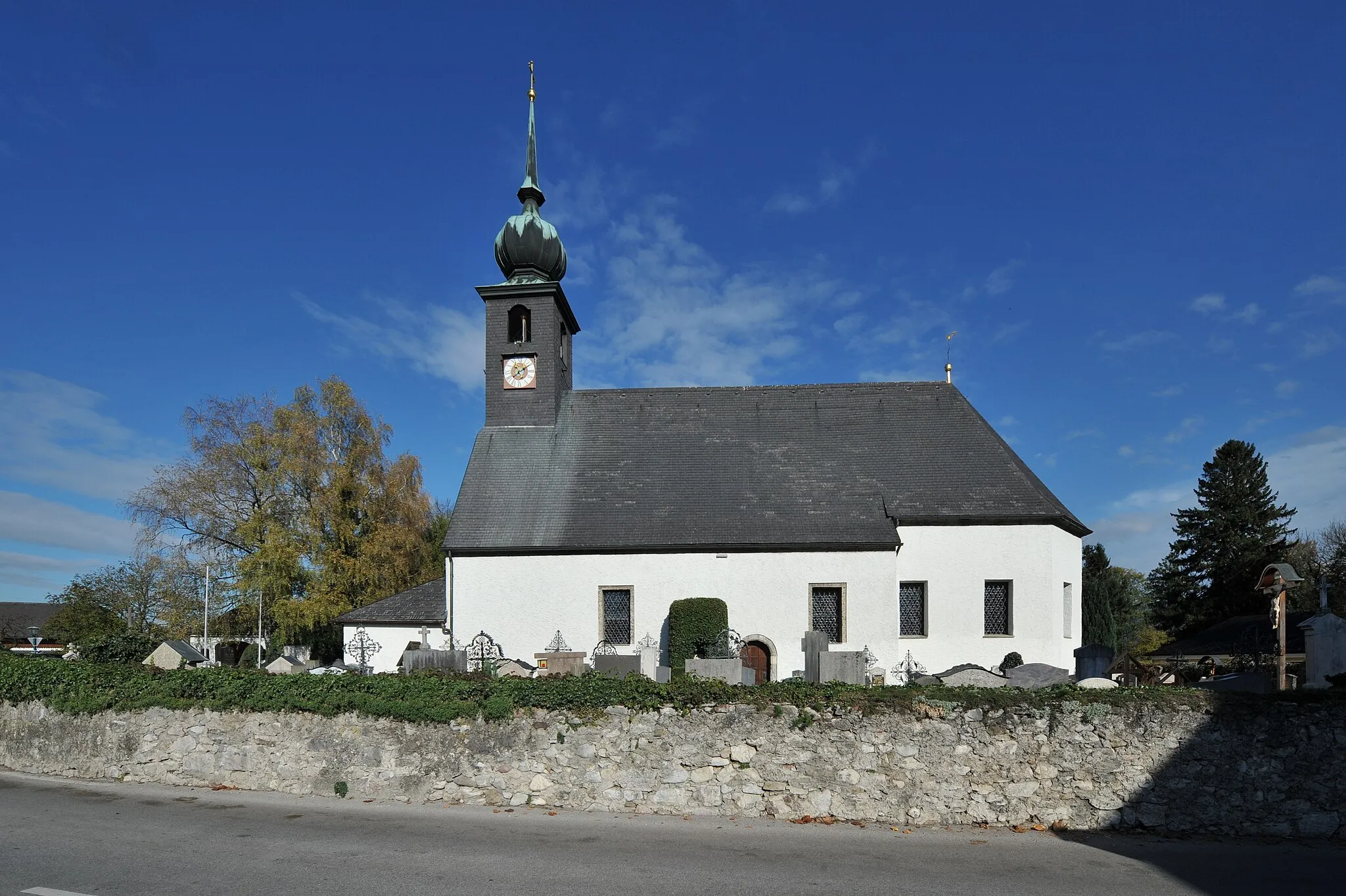
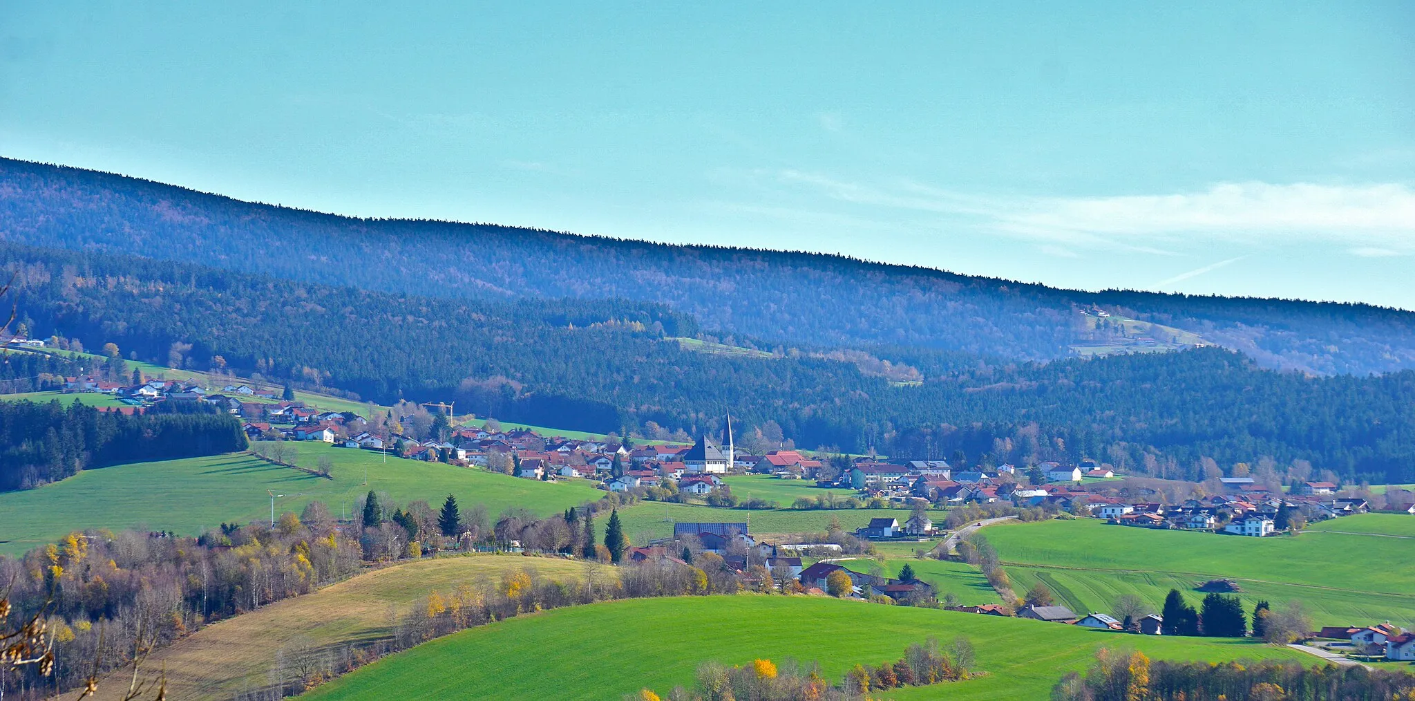
Ringelai, situated in Niederbayern, Germany, offers a delightful setting for road and gravel cyclists. Surrounded by lush greenery and natural beauty, Ringelai provides an ideal environment for leisurely rides and exploration. Cyclists can enjoy well-maintained roads that wind through rolling hills and charming villages. Gravel cyclists can venture onto the scenic forest trails and immerse themselves in nature, discovering hidden treasures along the way. Ringelai serves as a great starting point for unforgettable cycling experiences in the enchanting Bavarian countryside.
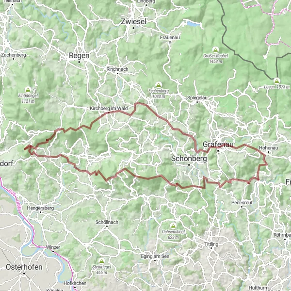
Embark on a thrilling gravel adventure through the scenic landscapes of Niederbayern.
The Gravel Adventure offers an exhilarating journey through the diverse landscapes of Niederbayern, Germany. With a challenging ascent of 2622 meters and a distance of 101 kilometers, this route is ideal for experienced gravel cyclists seeking an adrenaline-fueled adventure. Prepare to push your limits as you navigate through gravel paths, forest trails, and open countryside. Along the way, you'll encounter several highlights that add to the unique charm of this route.
The Naton Forest Loop
Discover the natural beauty of Niederbayern on this road cycling route through the enchanting Naton Forest.
The Naton Forest Loop is a scenic road cycling route that takes you through the mesmerizing Naton Forest in Niederbayern, Germany. Offering stunning views of rolling hills, dense forests, and picturesque villages, this route is perfect for nature enthusiasts and adventure seekers. With a total elevation gain of 1855 meters and a distance of 88 kilometers, this moderately difficult ride is suitable for well-trained amateurs. Prepare for a challenging yet rewarding experience as you navigate through winding roads and conquer some steep climbs. Along the way, you'll encounter several highlights that add to the allure of this route.

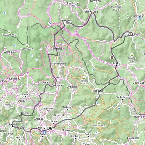
Enjoy stunning views of the Bavarian Forest along this challenging cycling route
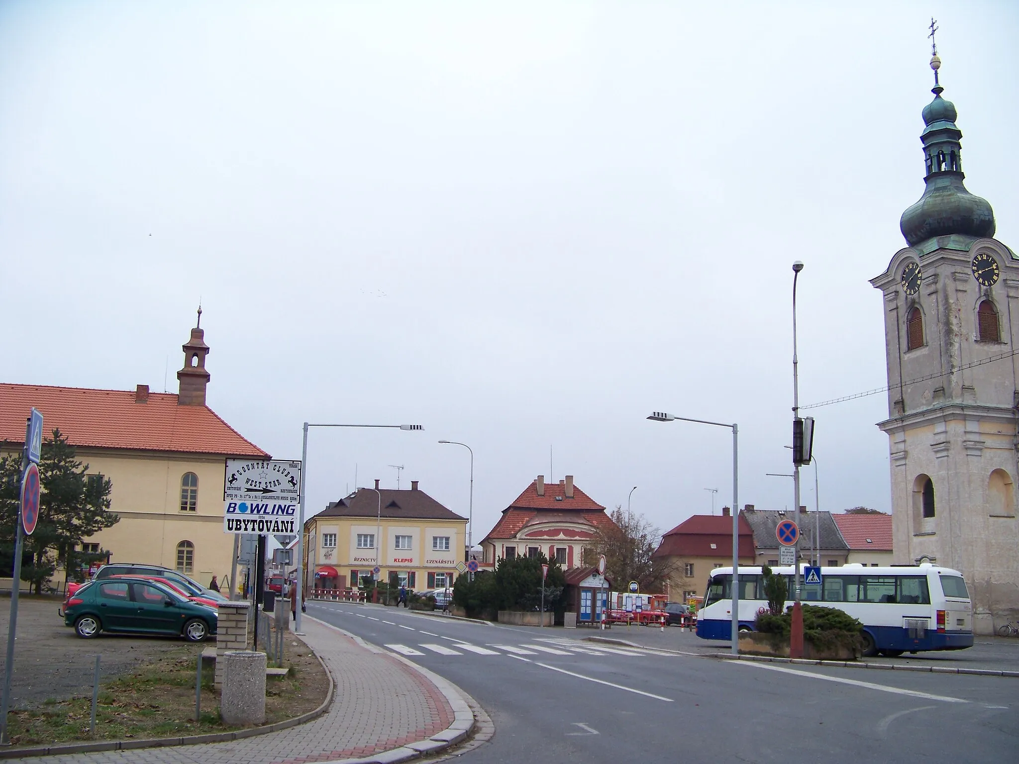
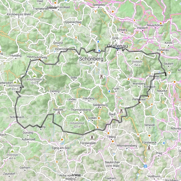
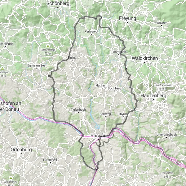
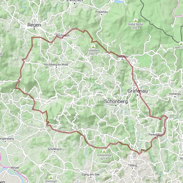
This round-trip cycling route near Ringelai takes you through the picturesque landscapes of the Bavarian Forest. With a total distance of 109 kilometers and an ascent of 2411 meters, this challenging route is recommended for very well-trained amateurs. The epicness of this route is rated 4 out of 5, thanks to its breathtaking panoramas and beautiful natural highlights. Highlights along the route include Mauth, where you can take a break and admire the majestic views of the forest. Finsterau offers a peaceful stopover with its quaint charm and idyllic surroundings. As you continue, make sure to visit Siebensteinkopf, a rocky summit known for its panoramic vistas. The route also takes you to Kvilda, a charming Czech village known for its historical heritage and stunning landscapes. Don't miss Jezerní slať, a beautiful moorland with unique plant and animal species. As you pedal ahead, Zdíkov welcomes you with its traditional architecture and local hospitality. The route then leads you to Vodník, where you can witness the beauty of a picturesque lake. Continuing from there, Šerava offers a stop to explore its stunning nature reserve and serene atmosphere. Horní Vltavice, nestled along the Vltava River, invites you to enjoy some peaceful moments surrounded by nature. Philippsreut, with its charming town center and local cuisine, is another highlight along the route. Mühlberg offers a scenic landscape with rolling hills and green meadows. Freyung, a small city in the heart of the Bavarian Forest, is rich in history and cultural landmarks. Lastly, be sure to make a quick stop at Augustin Kanzel, a popular viewpoint offering breathtaking panoramic views of the surrounding countryside. Overall, this round-trip cycling route near Ringelai offers a challenging but rewarding experience, allowing you to immerse yourself in the natural beauty of the Bavarian Forest and discover unique cultural highlights along the way.

Embark on a scenic gravel adventure passing through Augustin Kanzel, Freyung, and Mauth.
Escape into nature on this scenic gravel adventure near Ringelai. With a total ascent of 1,327 meters and a distance of 59 kilometers, it offers a rewarding and immersive experience.
Waldkirchen Gravel Adventure
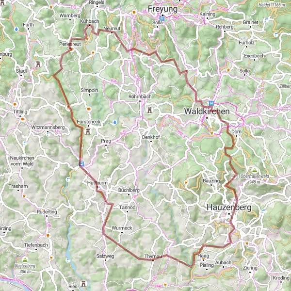
Embark on an adventurous gravel ride passing through Großwiesen, Waldkirchen, and Karoli.
Discover the adventurous side of Ringelai on this gravel ride to Waldkirchen. With a total ascent of 1,656 meters and a distance of 75 kilometers, it offers a thrilling experience for gravel enthusiasts.
The Scenic Route
Indulge in the scenic beauty of Niederbayern on this road cycling journey through charming villages and picturesque landscapes.
The Scenic Route offers a delightful cycling experience for those seeking a journey through the unspoiled beauty of Niederbayern. With a total elevation gain of 1802 meters and a distance of 86 kilometers, this moderately difficult route showcases the best of the region's natural and cultural highlights. As you pedal through winding roads, quaint villages, and rolling hills, you'll be captivated by the stunning landscapes that unfold before you. This route is perfect for cyclists of all levels who wish to explore the hidden gems of Niederbayern.

Discover the natural beauty of Steinberg and Neuschönau on this gravel loop ride.
Experience the captivating natural beauty of the Steinberg and Neuschönau regions on this gravel loop ride starting near Ringelai. With a total ascent of 1,316 meters and a distance of 63 kilometers, it is a moderate ride suitable for cyclists of various levels.
Escape into the tranquility of the forest on this scenic road cycling route in Niederbayern.
The Forest Escape offers a perfect getaway for cyclists seeking peace and serenity amidst picturesque surroundings. With an elevation gain of 1891 meters and a distance of 85 kilometers, this route combines moderate difficulty with stunning natural beauty. As you pedal through the enchanting forests and charming villages of Niederbayern, you'll be treated to breathtaking views and a sense of tranquility rarely found elsewhere. Along the way, you'll encounter several highlights that add to the allure of this route.
The Bavarian Rollercoaster
Prepare for an exciting roller coaster ride along the scenic roads of Niederbayern.
The Bavarian Rollercoaster is a thrilling road cycling route that promises an exhilarating experience for cyclists of all levels. With an elevation gain of 2020 meters and a distance of 109 kilometers, this route provides a perfect balance between challenging climbs and thrilling descents. As you journey through winding roads and picturesque villages, you'll be treated to breathtaking views of the Bavarian countryside. The route is peppered with several highlights that add to the excitement of this roller coaster ride.
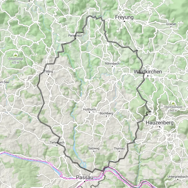
Embark on a thrilling gravel ride passing through Perlesreut, Bubikberg, and Eisenberg.
If you're seeking an off-road adventure near Ringelai, this gravel route is perfect for you. With a total ascent of 2,664 meters and a distance of 104 kilometers, it offers a thrilling and challenging ride through scenic landscapes and remote areas.
Cycling routes nearby:


Nearby regions: