The Naton Forest Loop
A road cycling route starting from Ringelai
Discover the natural beauty of Niederbayern on this road cycling route through the enchanting Naton Forest.
Map
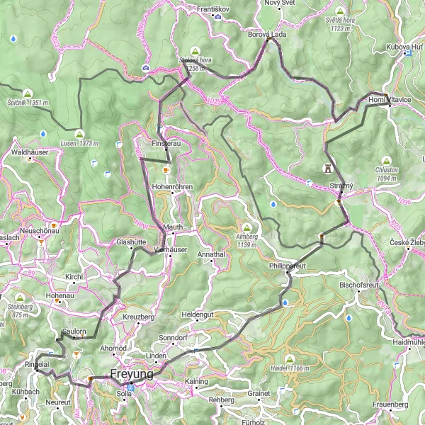
The Naton Forest Loop is a scenic road cycling route that takes you through the mesmerizing Naton Forest in Niederbayern, Germany. Offering stunning views of rolling hills, dense forests, and picturesque villages, this route is perfect for nature enthusiasts and adventure seekers. With a total elevation gain of 1855 meters and a distance of 88 kilometers, this moderately difficult ride is suitable for well-trained amateurs. Prepare for a challenging yet rewarding experience as you navigate through winding roads and conquer some steep climbs. Along the way, you'll encounter several highlights that add to the allure of this route.
road
88 km
1855 m
Tough
Route profile
Highlights on the route
0 km
0 km
Start: Ringelai Village centerRingelai: Immersing in nature's embrace while cycling in Ringelai
Ringelai, situated in Niederbayern, Germany, offers a delightful setting for road and gravel cyclists. Surrounded by lush greenery and natural beauty, Ringelai provides an ideal environment for leisurely rides and exploration. Cyclists can enjoy well-maintained roads that wind through rolling hills and charming villages. Gravel cyclists can venture onto the scenic forest trails and immerse themselves in nature, discovering hidden treasures along the way. Ringelai serves as a great starting point for unforgettable cycling experiences in the enchanting Bavarian countryside.17 km
17 km
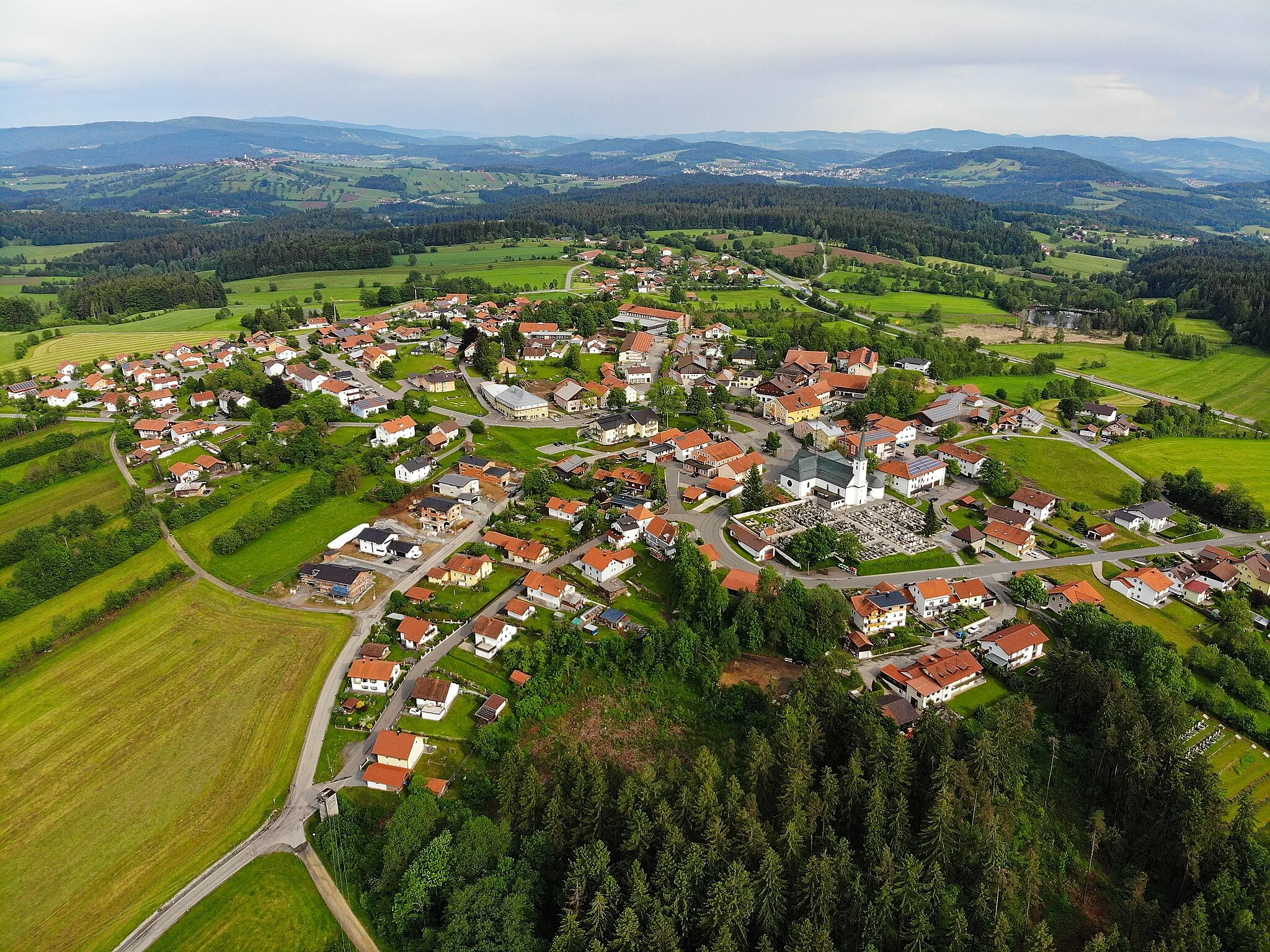
MauthVillageStop by Mauth, a charming village known for its traditional Bavarian architecture and friendly locals.
28 km
28 km
Siebensteinkopf1263 mPeakExperience the breathtaking panoramic views from the summit of Siebensteinkopf.
38 km
38 km
Borová LadaVillageAdmire the beauty of Borová Lada, a small village surrounded by untouched wilderness.
54 km
54 km
Žlíbský vrch1133 mPeakTake a break at Žlíbský vrch and soak in the serene ambiance of this peaceful spot.
59 km
59 km
Strážný1115 mVillageExplore the charming town of Strážný and discover its rich cultural heritage.
66 km
66 km
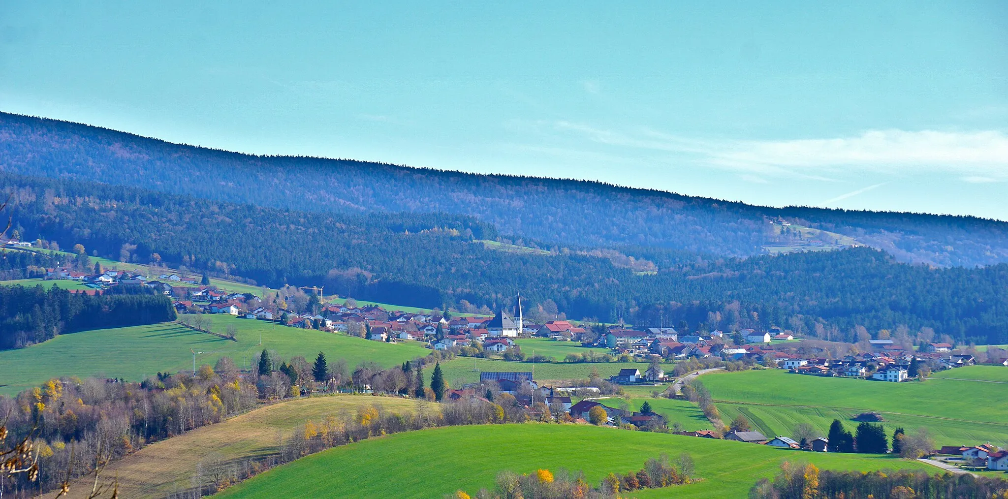
PhilippsreutVillageVisit Philippsreut, a town renowned for its splendid mountain scenery and ski resorts.
70 km
70 km
Mühlberg890 mPeakEnjoy a peaceful moment at Mühlberg, a quaint village surrounded by lush greenery.
79 km
79 km
FreyungTownExperience the vibrant atmosphere of Freyung, a town known for its exciting festivals and outdoor adventures.
82 km
82 km
Augustin Kanzel575 mPeak88 km
88 km
Finish: Ringelai Village centerRingelai: Immersing in nature's embrace while cycling in Ringelai
Cycling routes from Ringelai:
Cycling routes nearby: