Serene Cycling in Niederbayern, Germany
Cycling routes from Konzell
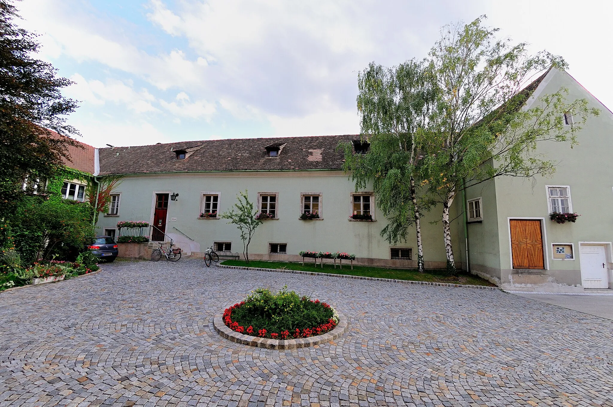
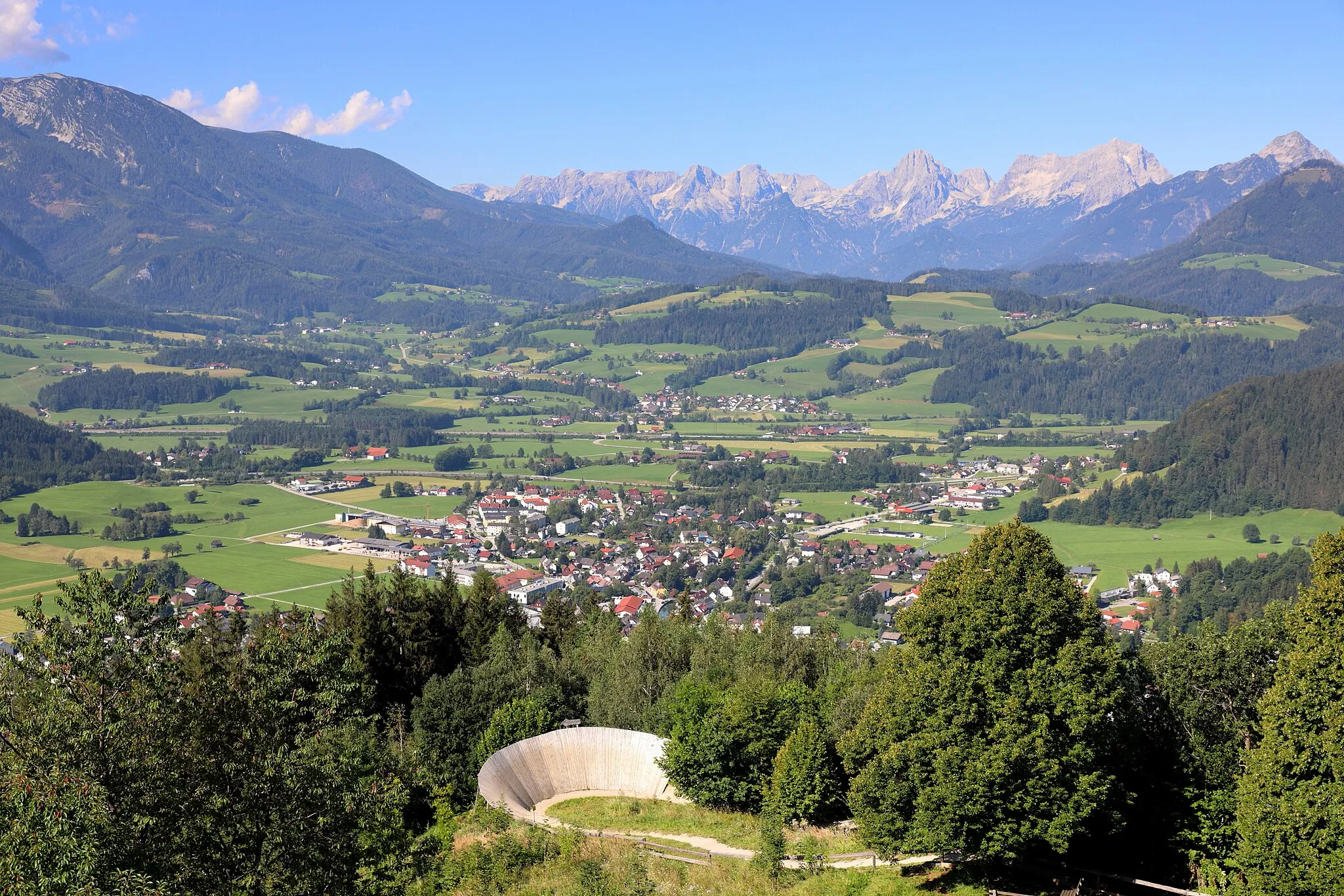
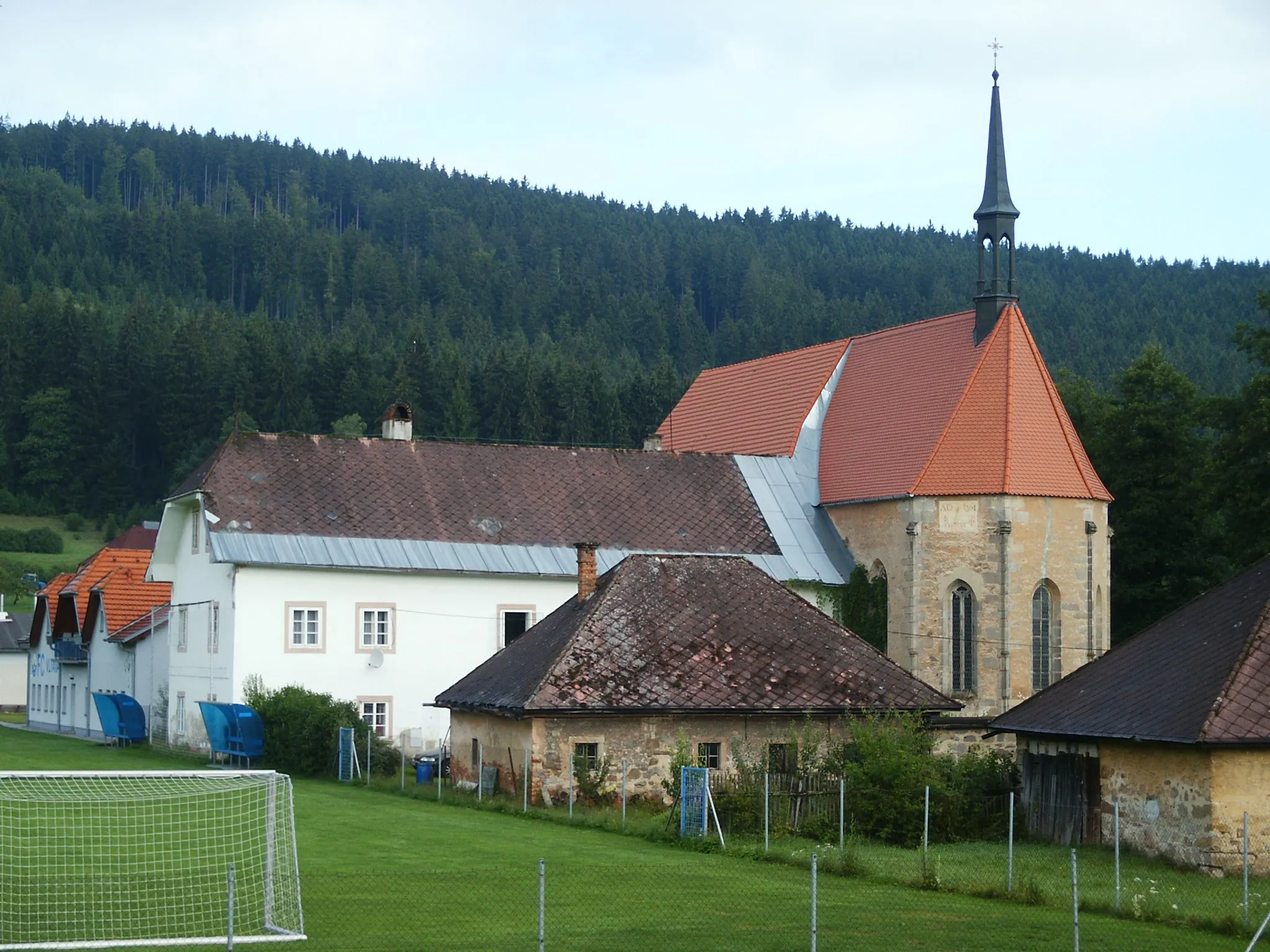
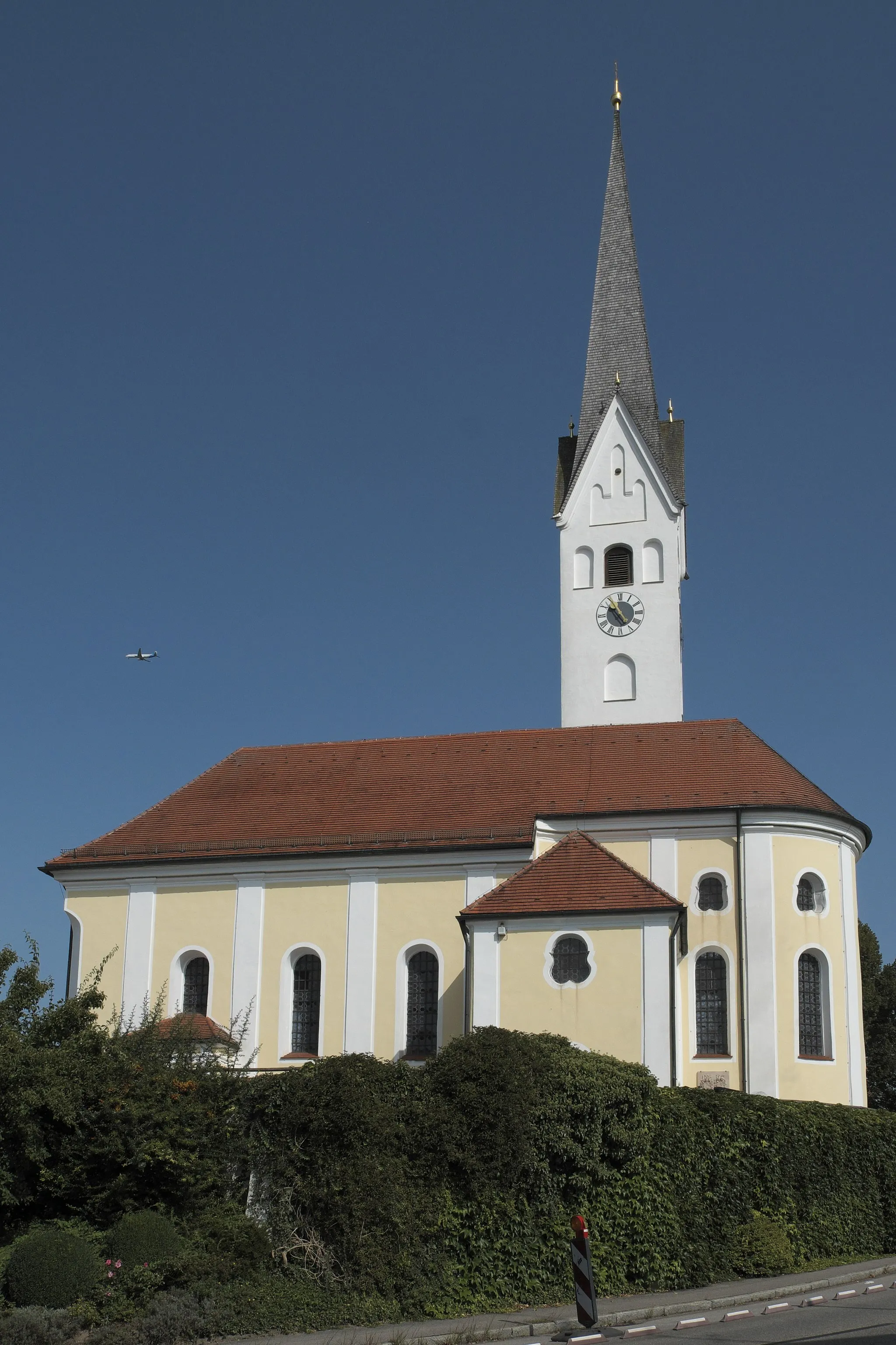
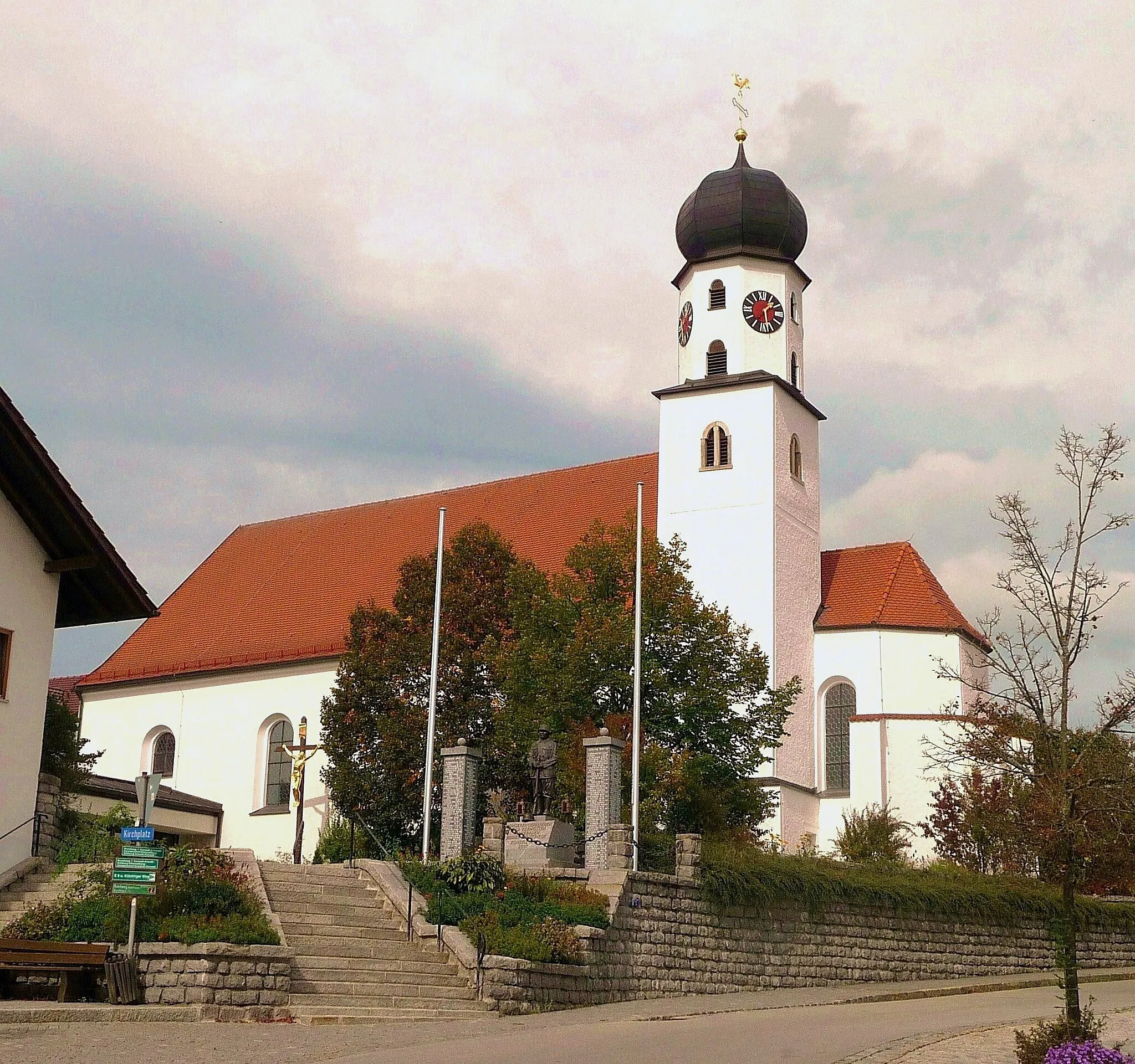
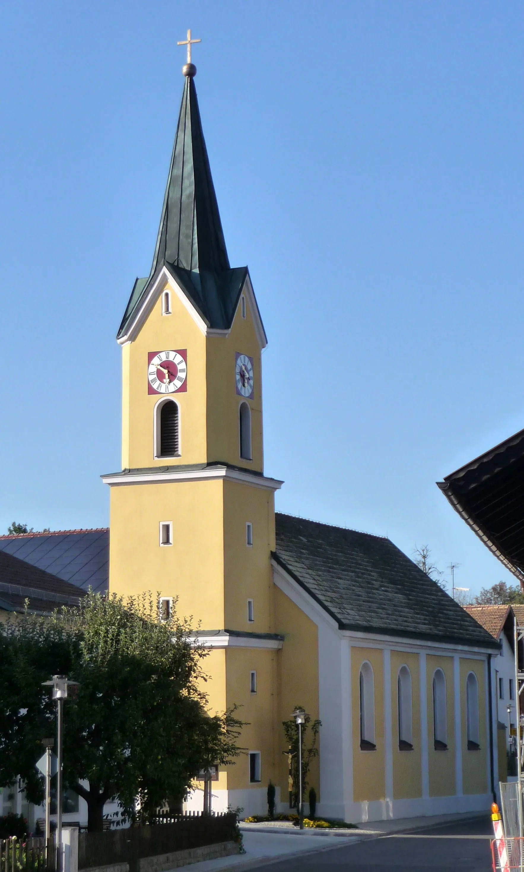
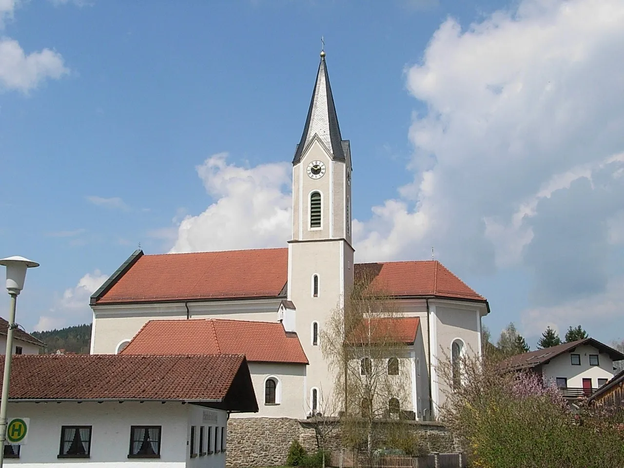
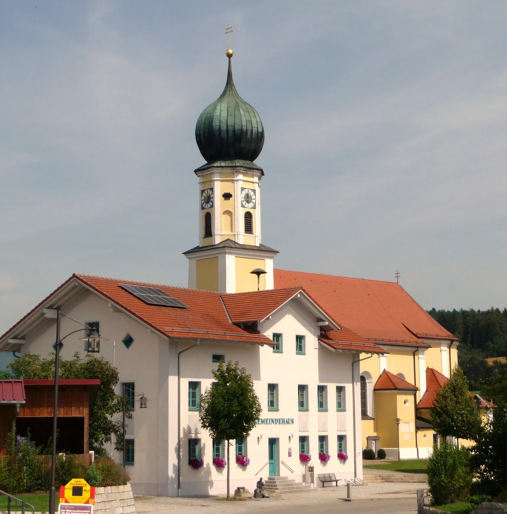
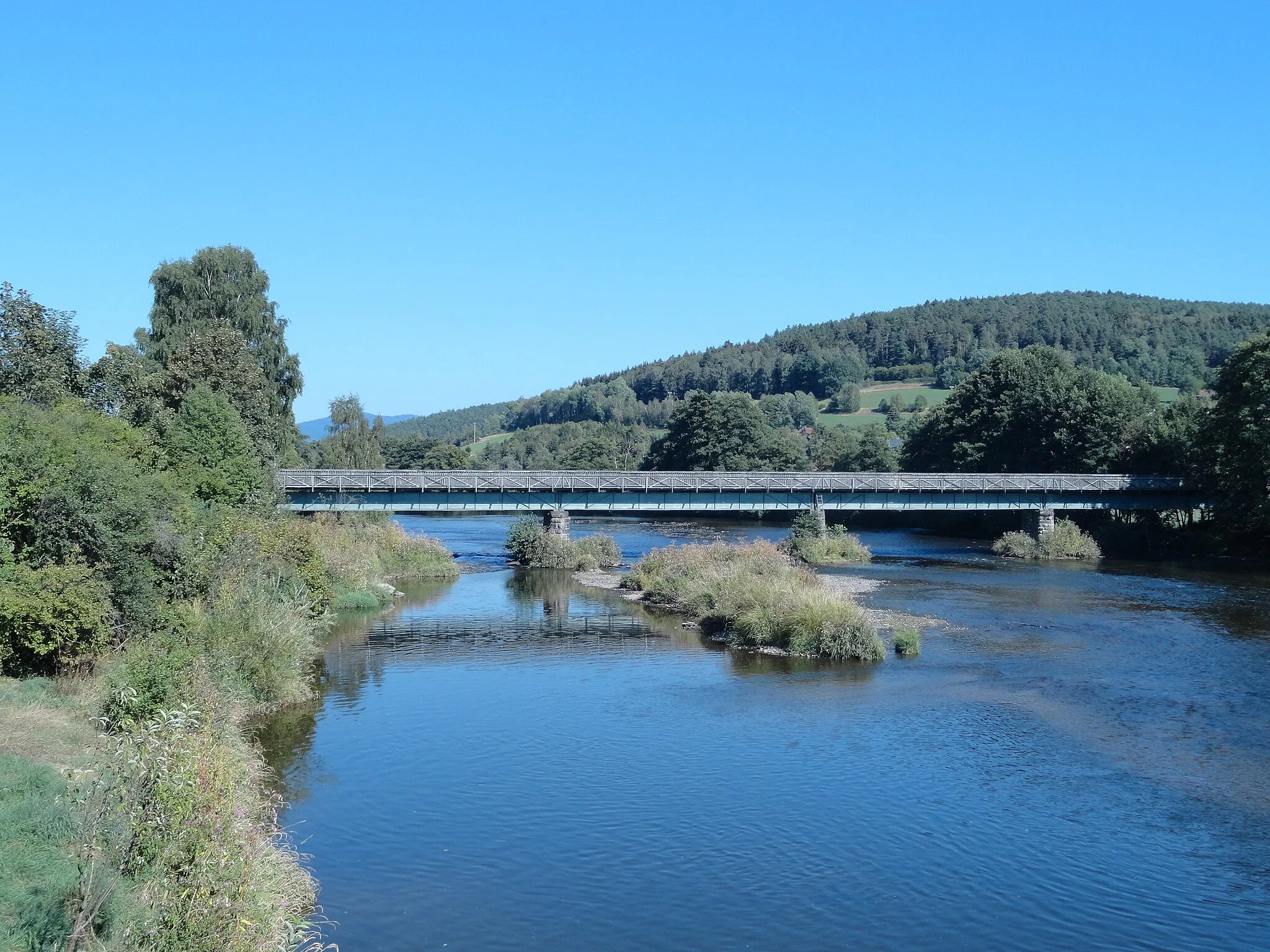
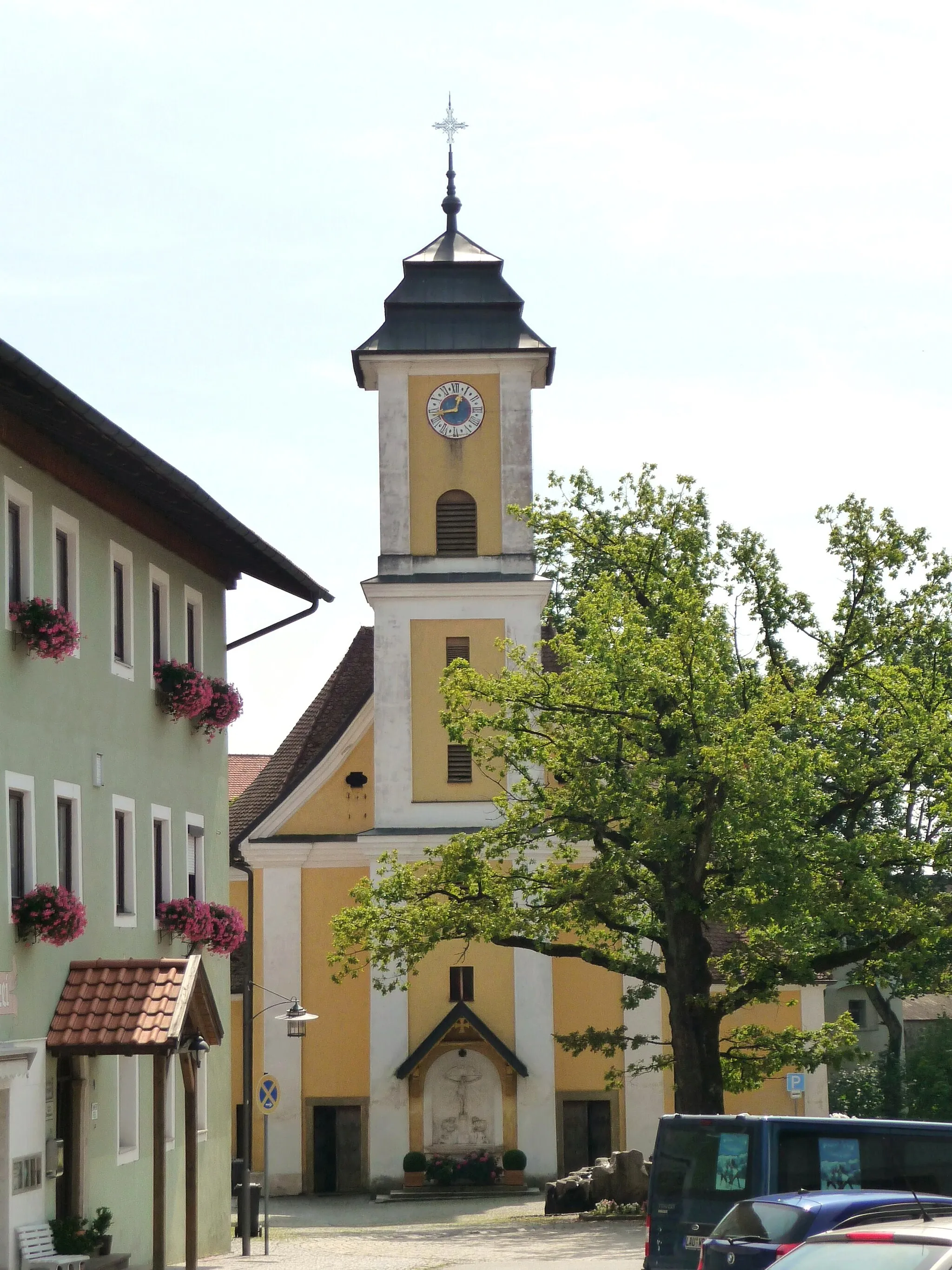
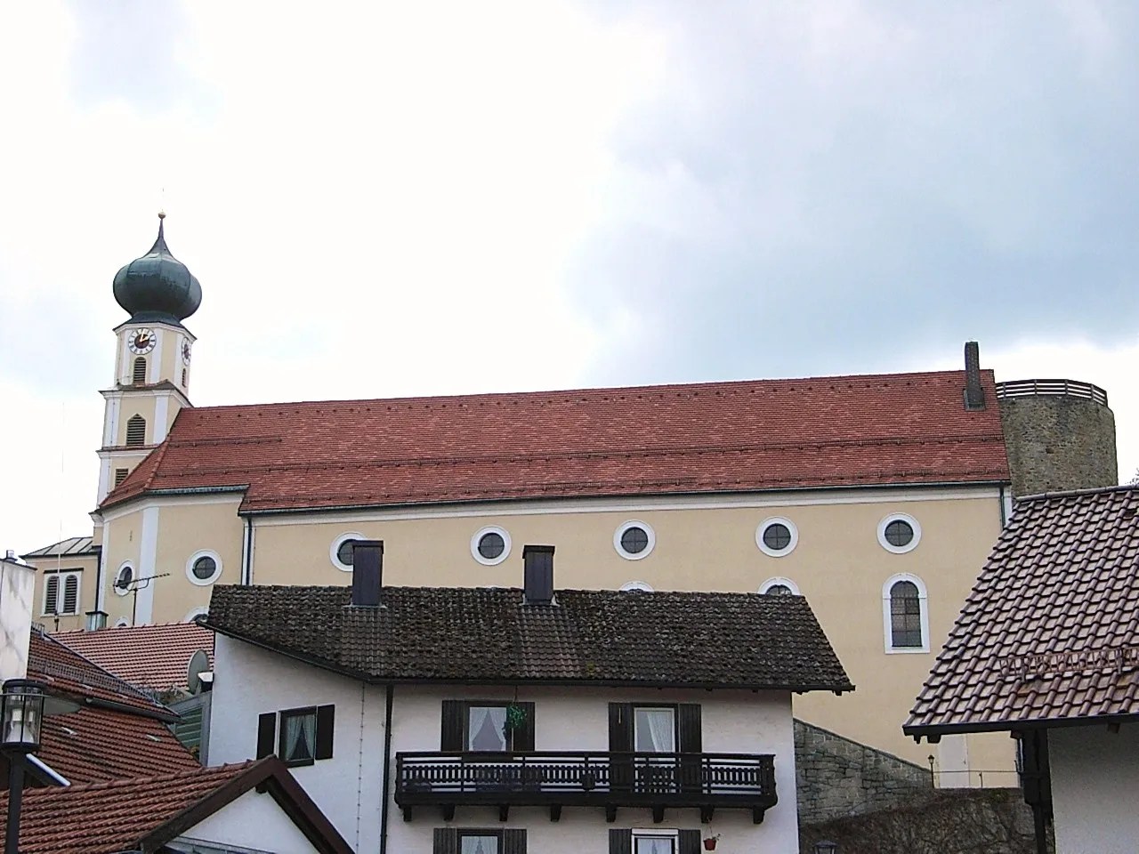
Konzell in Germany's Niederbayern region offers a pleasant cycling experience for riders of all levels. This locality is known for its well-maintained road and gravel routes that wind through picturesque countryside. Cyclists can enjoy the serenity of the local nature reserves or challenge themselves on climbs like the Wassertalberg. Konzell also provides easy access to nearby cycling destinations, such as the Bavarian Forest National Park. With its diverse cycling options and stunning landscapes, Konzell is a great choice for cyclists looking to explore Niederbayern.
Experience the beauty of Niederbayern while cycling on well-paved roads
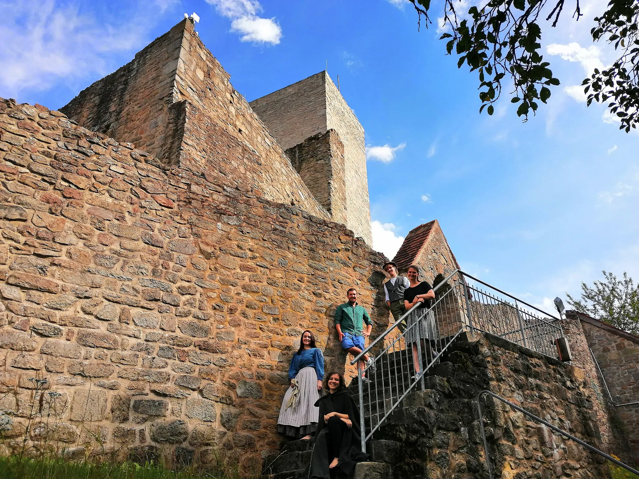
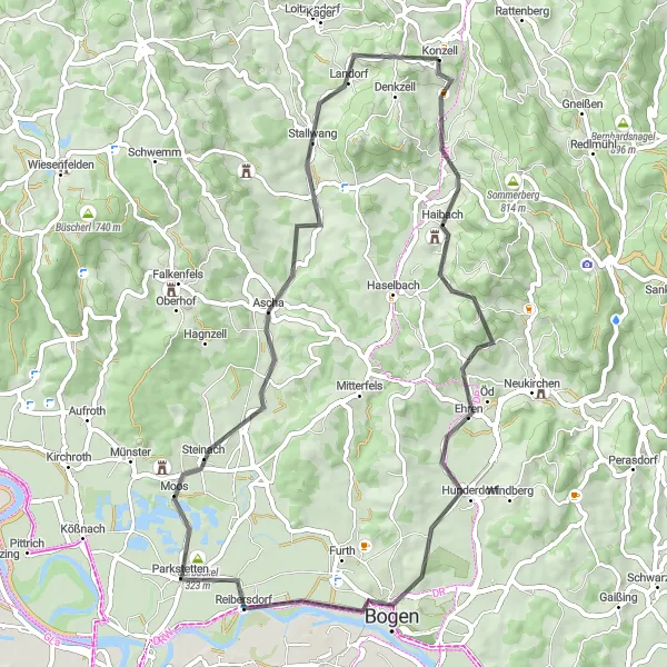
If you prefer smooth road cycling, this 56-kilometer route near Konzell is perfect for you. With a manageable ascent of 661 meters, you'll have the opportunity to explore some of the most scenic spots in the region. Ride alongside the mighty Danube River, visit the historic Burgruine Haibach, admire the architecture of Bogenberg, explore the charming village of Parkstetten, conquer Garbuckel, pass through Rattiszell, and finally, return to Konzell. Make the most of this road biking adventure by enjoying the pleasant weather and soaking in the remarkable surroundings.
Conquer some of the most challenging roads in Niederbayern on this ultimate cycling adventure.
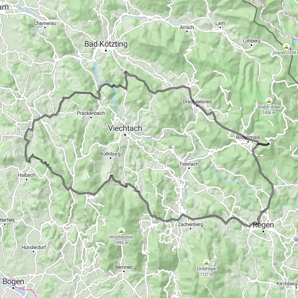
Prepare for a epic 106-kilometer road cycling challenge, tackling arduous climbs and exhilarating descents, as you ride through highlights such as Wettzell, Pluto, and Sommerberg. This route is not for the faint-hearted but promises spectacular views and an unforgettable cycling experience in the heart of beautiful Niederbayern.
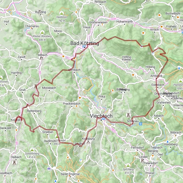
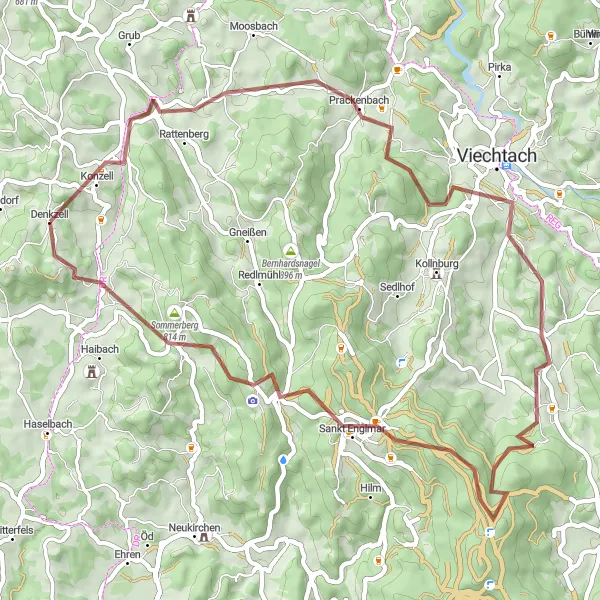
Experience the thrill of gravel cycling in Niederbayern's scenic landscapes
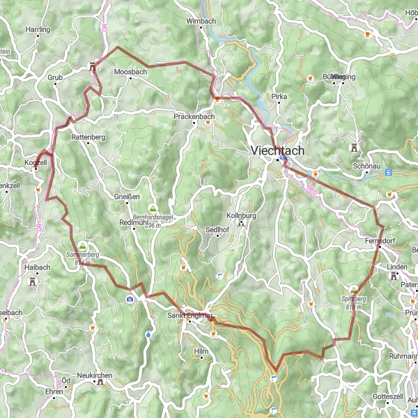
Embark on a thrilling 67-kilometer gravel cycling adventure near Konzell, unveiling the captivating beauty of the region. With an elevation gain of 1628 meters, this route promises a challenging yet rewarding experience as you explore Schloss Altrandsberg, Wacht, Fichtental, Fernsdorf, Spitzberg, Knogl, Sankt Englmar, Elisabethszell, Sommerberg, and Auggenbach. Challenge your riding skills as you navigate through varying terrains and witness the unspoiled charm of Niederbayern's countryside. Soak in the breathtaking views of magnificent castles, picturesque hills, tranquil forests, and enchanting villages, making this gravel adventure an unforgettable journey for cycling enthusiasts.
Experience the scenic beauty of Niederbayern while conquering challenging gravel terrains.
Embark on a thrilling gravel ride through the backwoods of Niederbayern, passing highlights such as Bad Kötzting, Großer Riedelstein, and Viechtach. This route is perfect for adventurous cyclists seeking the thrill of off-road riding in a picturesque setting.
Enjoy a pleasant road ride through the scenic landscapes surrounding Loitzendorf.
This 39-kilometer road ride takes you through the beautiful countryside near Konzell, providing picturesque views of the region. With a moderate ascent and stunning scenery, this route is ideal for riders of all levels who want to experience a delightful road cycling adventure.
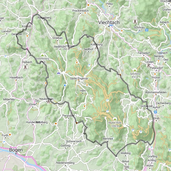
Embark on a challenging road cycling journey near Konzell
Get ready for an exhilarating road cycling adventure near Konzell, Niederbayern. This route covers a distance of 84 kilometers and presents several steep climbs along the way. The diverse terrain and scenic landscapes make it a perfect challenge for seasoned riders. The highlights of the route include Konzell, Käsplatte, Kirchberg, Hahnburg, Bernried, Höhenberg, Perasdorf, and Winterberg. These locations offer breathtaking views and opportunities to immerse yourself in the cultural heritage of the region.
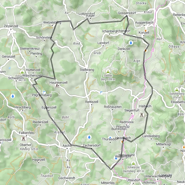
Experience the natural beauty & cultural landmarks surrounding Konzell
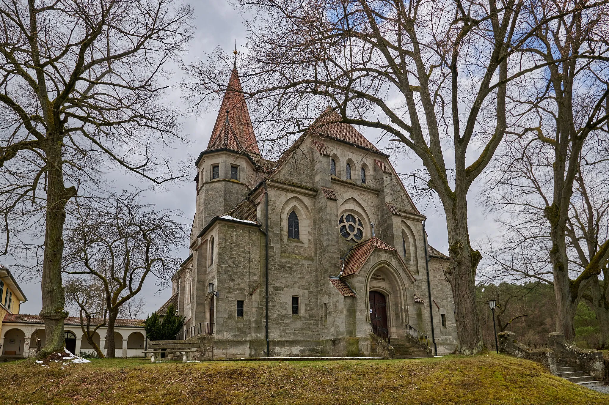
Embark on a captivating 64-kilometer road cycling adventure near Konzell, offering mesmerizing views of the Bavarian countryside. With an elevation gain of 850 meters, this route promises challenging uphill sections and rewarding downhill descents. Discover the quaint village of Loitzendorf, admire the panoramic vistas from Lindenberg, ride through Thierlstein known for its cultural landmarks, explore the charming Katzenbühl, conquer Willmering, cycle along the scenic paths of Lamberg, pass through Zandt, and finally, return to Konzell, a place known for its warm hospitality and traditional Bavarian architecture.
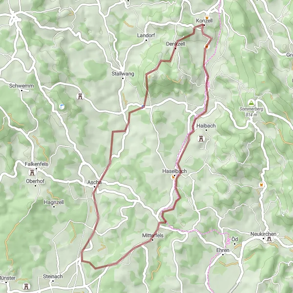
Konzell Gravel Adventure
Ride through the beautiful gravel roads near Konzell
Experience the scenic gravel roads near Konzell, Niederbayern. This route offers a challenging ascent and covers a total distance of 57 kilometers. You will ride through picturesque countryside, passing through charming towns and villages along the way. The route's highlights include Konzell, Prackenbach, Distelberg, Einweging, Kälberbuckel, Markbuchener Sattel, Sankt Englmar, Elisabethszell, and Blumerberg. Take a stop at these idyllic spots to immerse yourself in the beauty of the Bavarian landscape.
Mitterfels Gravel Adventure
Embark on a gravel adventure through the beautiful countryside near Mitterfels
The Mitterfels Gravel Adventure is a 35 km route that takes cyclists through the scenic countryside near Mitterfels. With a total ascent of 523 m, this route is suitable for riders of all skill levels. Along the way, cyclists will have the opportunity to admire the breathtaking Teufelsfelsen rock formation and enjoy the tranquility of the Gallner Berg. This route is perfect for gravel enthusiasts looking to explore the natural beauty of the region.
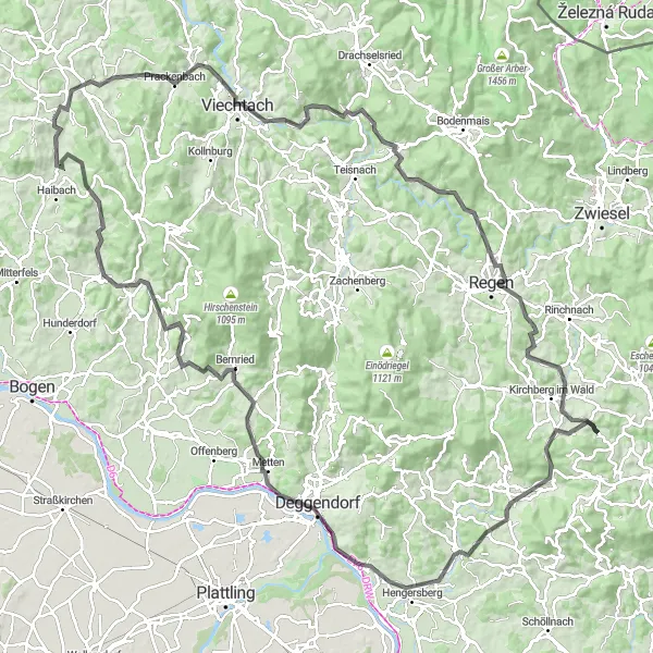
Embark on an epic 140-kilometer journey passing through stunning landscapes
Embark on a challenging 140-kilometer road cycling expedition near Konzell, revealing the most awe-inspiring landscapes in Niederbayern. With an ascent of 2561 meters, this route is designed for experienced cyclists seeking an adrenaline-packed adventure. Begin your journey in Konzell and embark on an incredible route that includes highlights such as Wacht, Böbrach, Bölmersberg, Regen, Untermitterdorf, Hangenleithner Hügel, Auerbach, Hengersberg, Geiersberg, Deggendorf, Höhenberg, Perasdorf, Elisabethszell, and Sommerberg. Experience varied terrain, challenging climbs, hairpin turns, and breathtaking descents as you conquer this epic expedition on two wheels.
Cycling routes nearby:
Nearby regions: