Cycling paradise in Oberpfalz
Cycling routes from Zandt
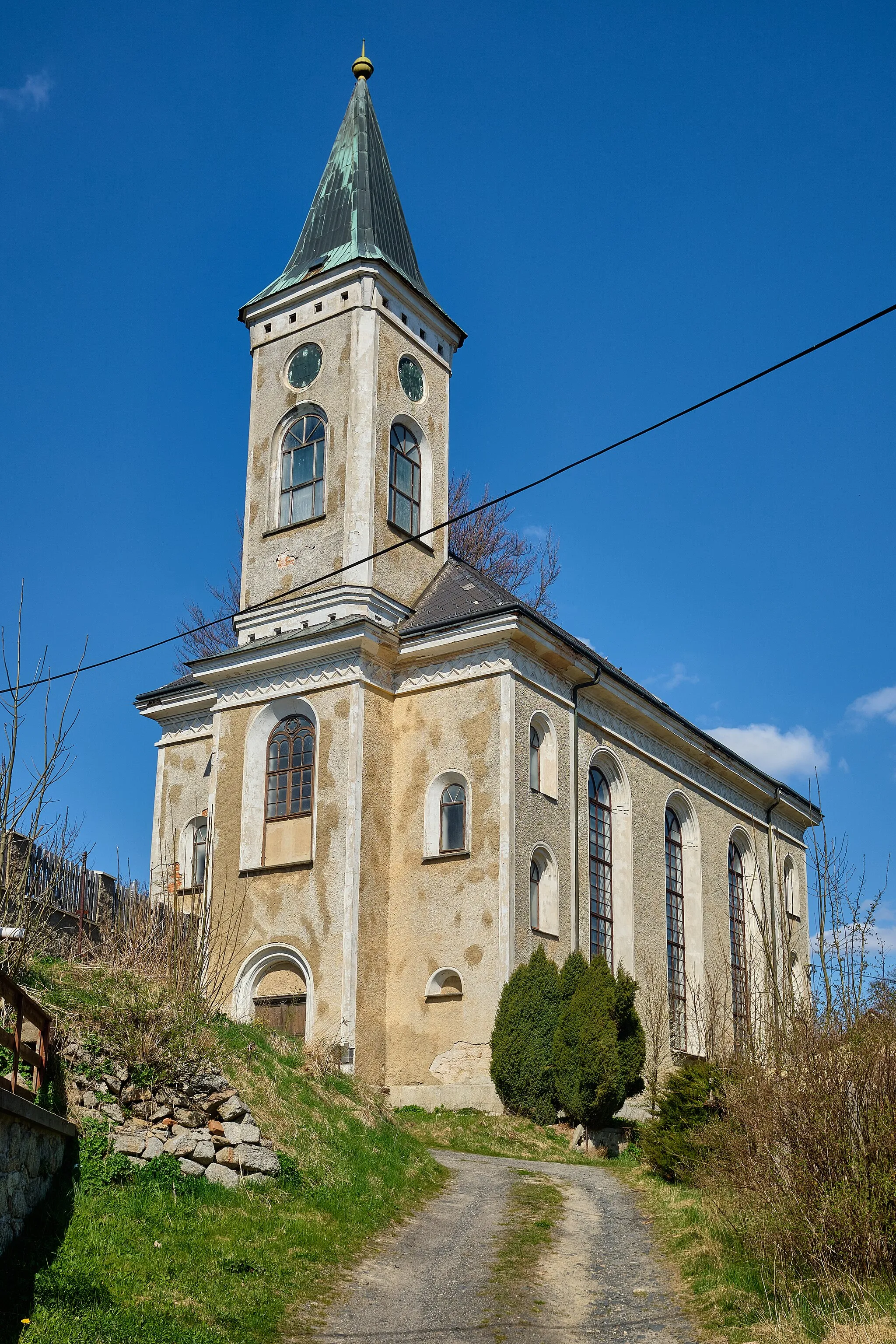
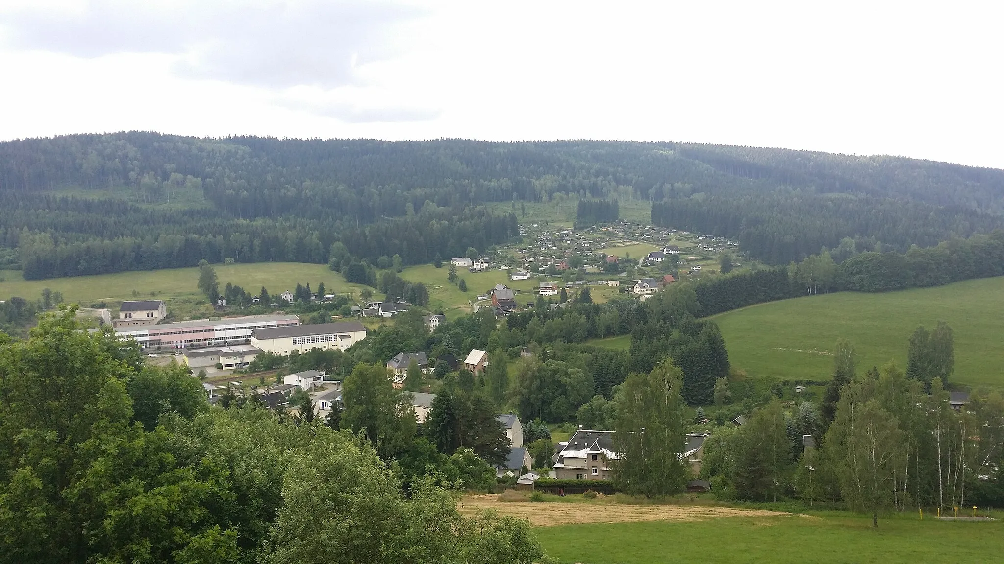
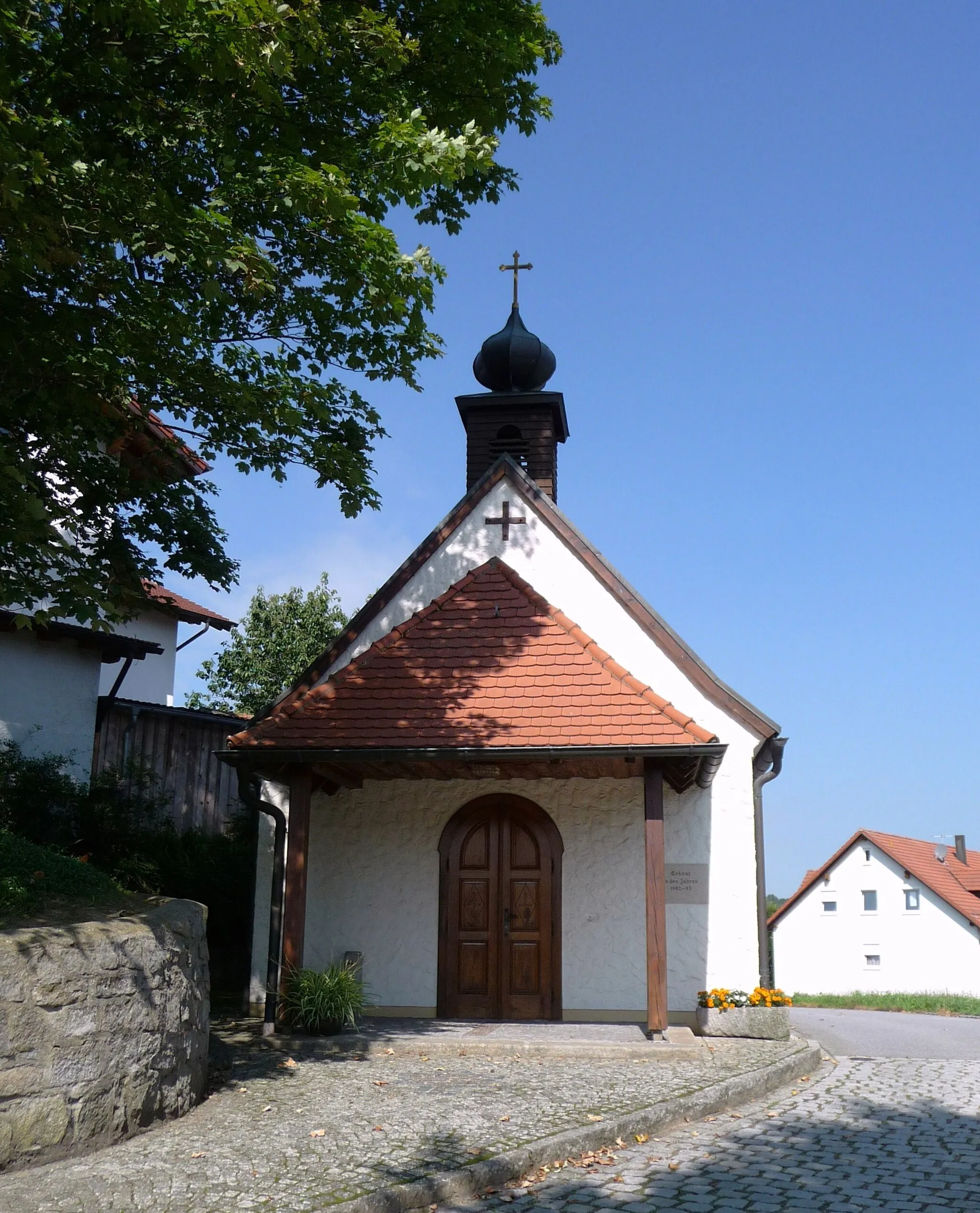
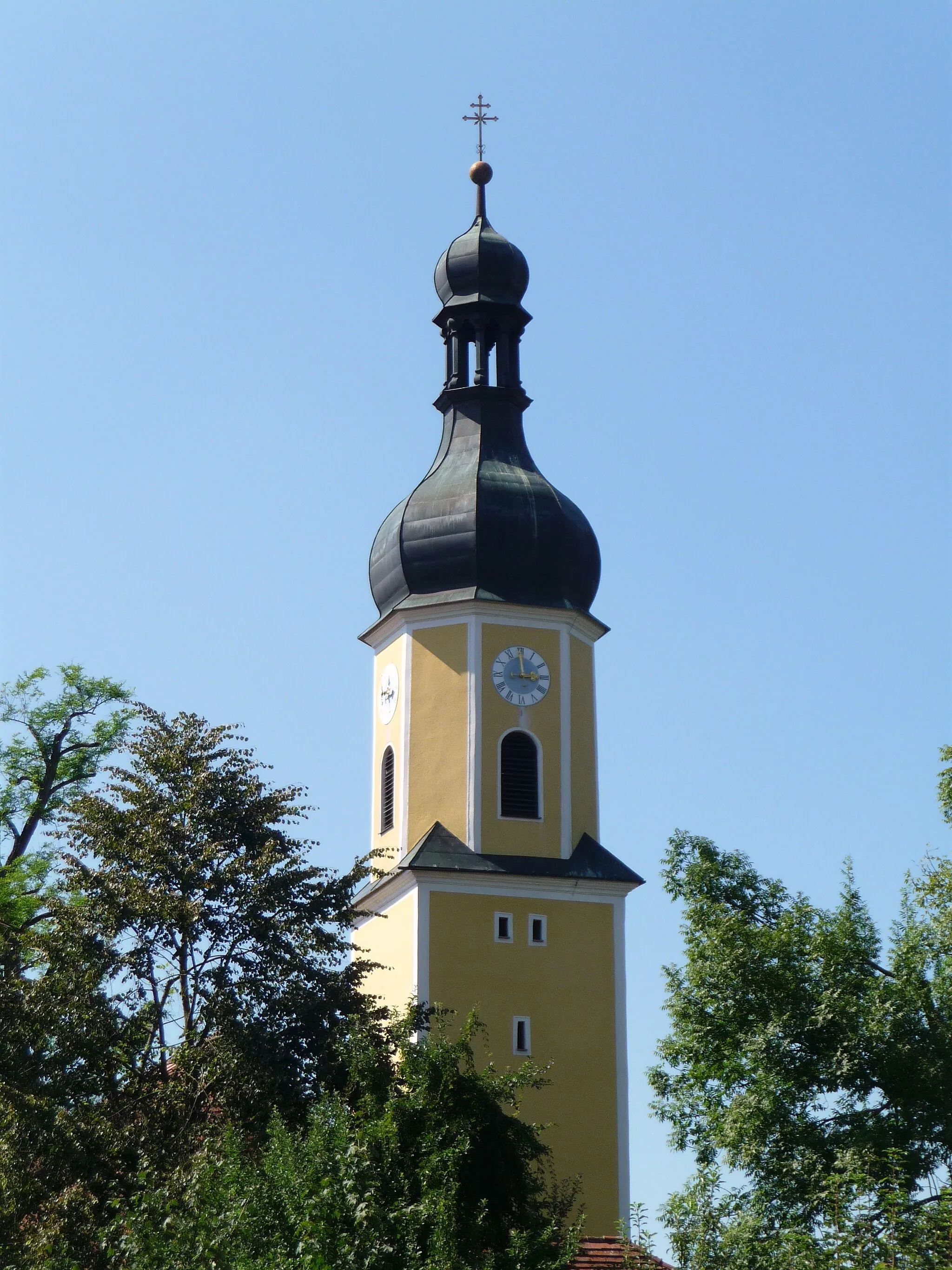
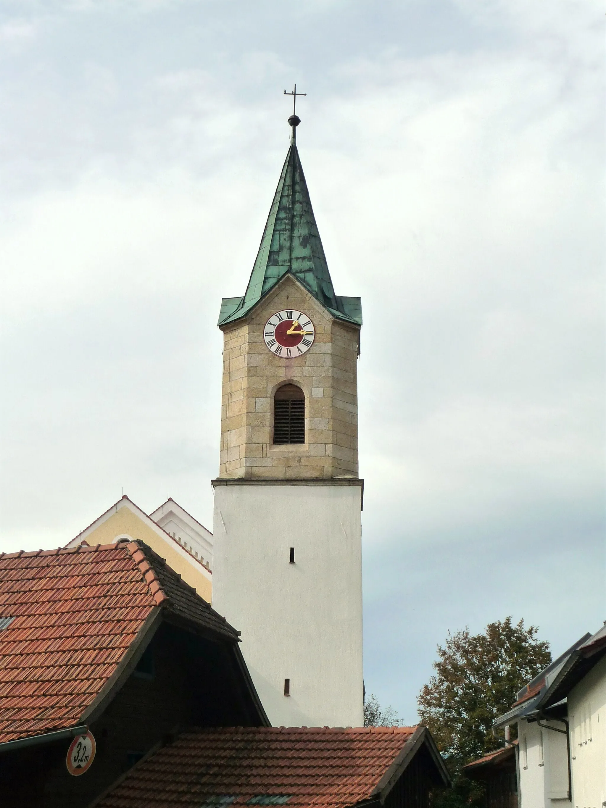
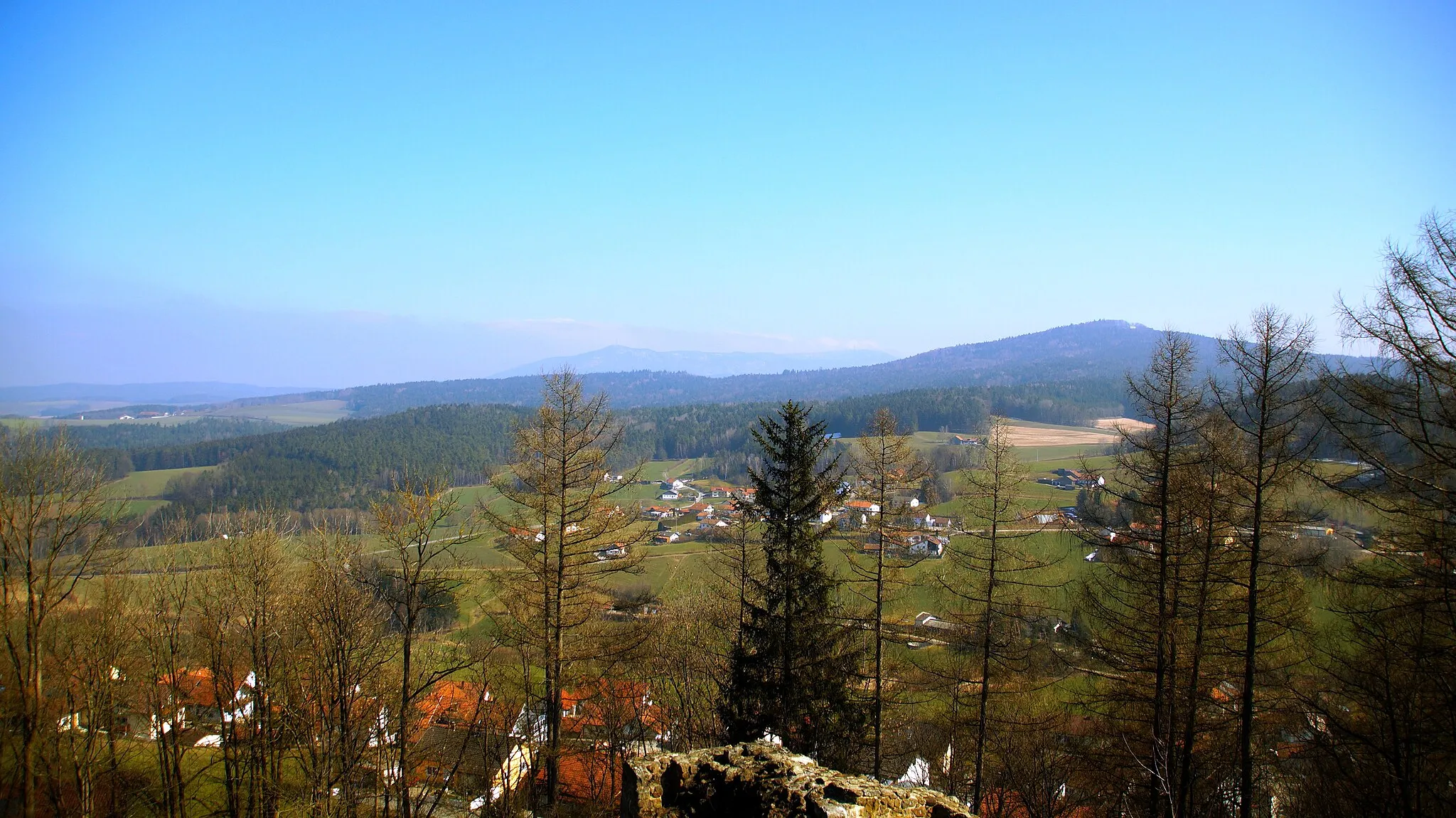
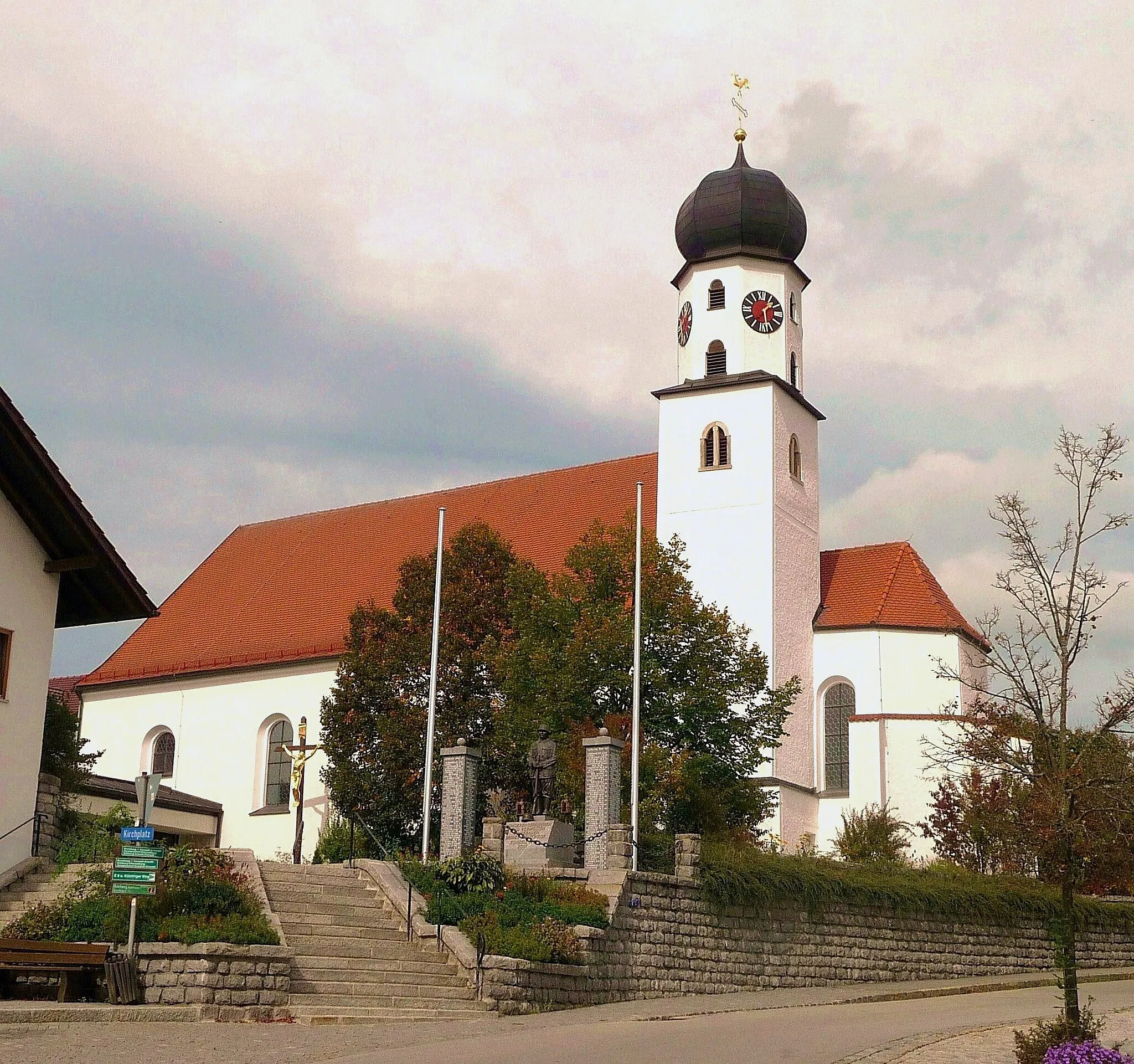
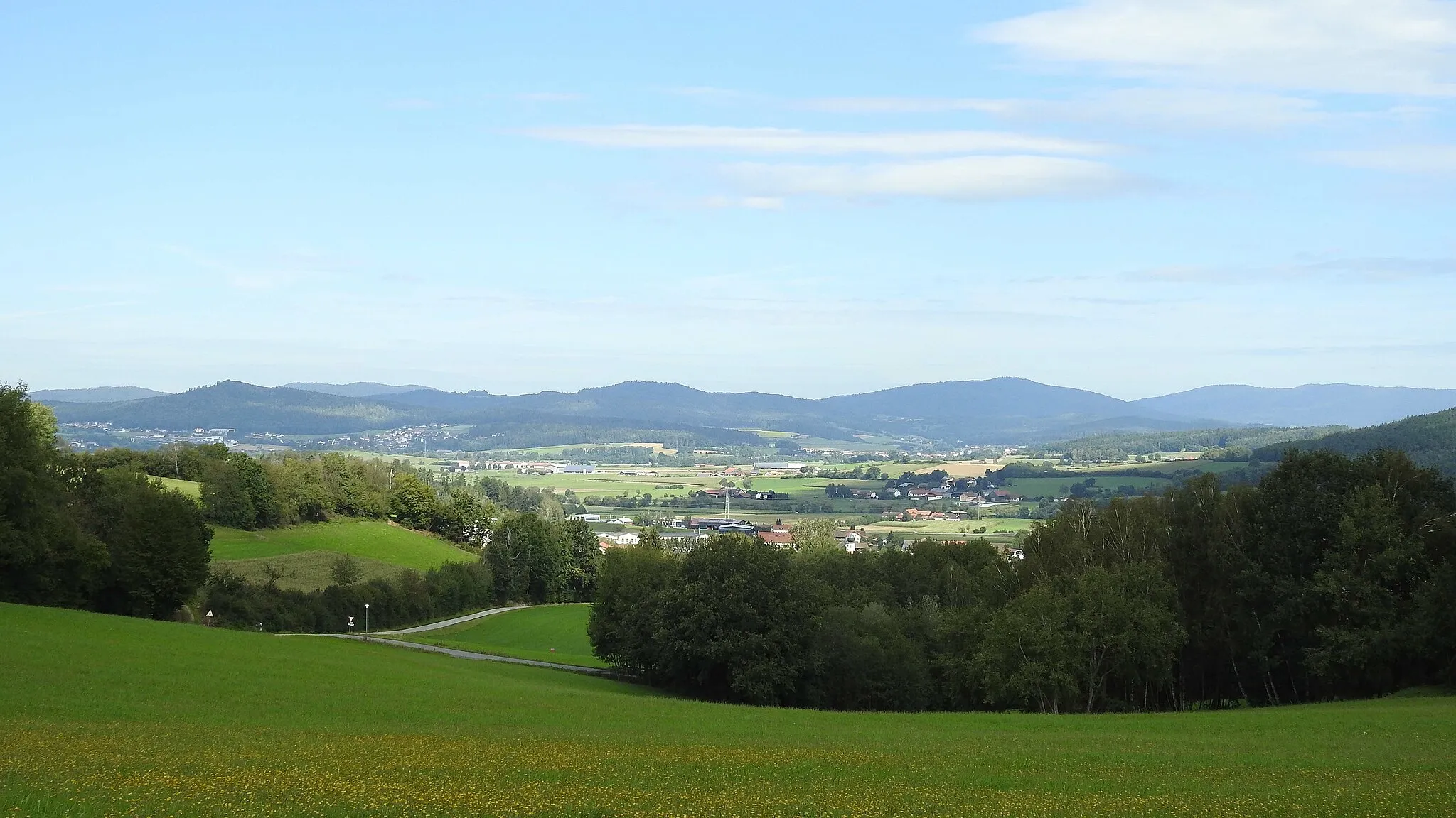
Zandt is a locality in Oberpfalz, Germany. It is a hidden gem for cycling enthusiasts, offering a mix of challenging climbs and scenic routes. Road cyclists will enjoy the hilly terrain and beautiful views, while gravel cyclists can explore the network of gravel paths that crisscross through the countryside. Zandt is a great place to experience the natural beauty of Oberpfalz while enjoying a thrilling cycling adventure.
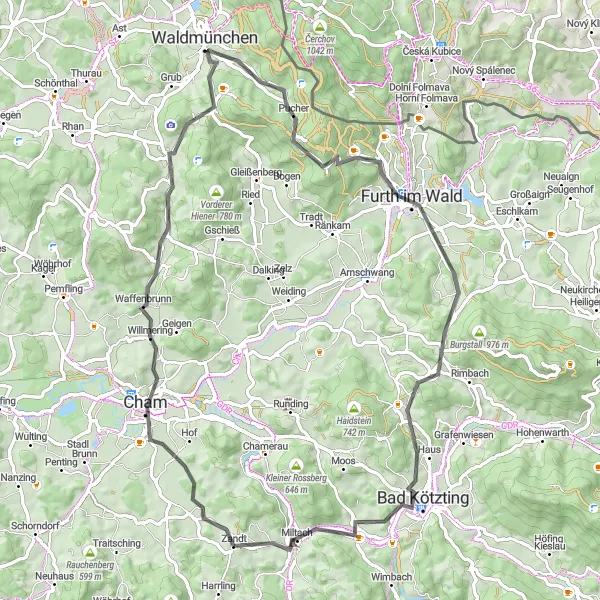
Embark on a challenging road cycling journey from Zandt to Riegelholzberg.
This road cycling route takes you from the scenic village of Zandt to the towering peak of Riegelholzberg. With a total distance of 82 kilometers and an elevation gain of 1300 meters, this route is ideal for experienced cyclists looking for a challenging and rewarding ride. Along the way, you'll pass through charming Bavarian towns, navigate steep ascents, and enjoy breathtaking panoramic views of the surrounding landscapes.
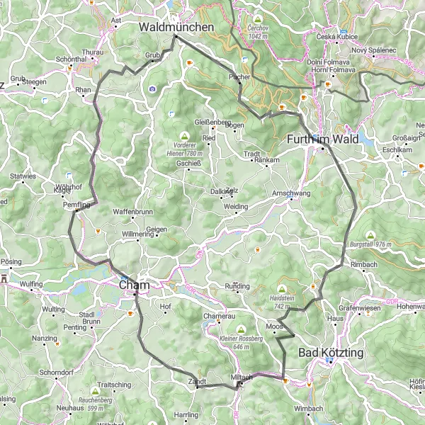
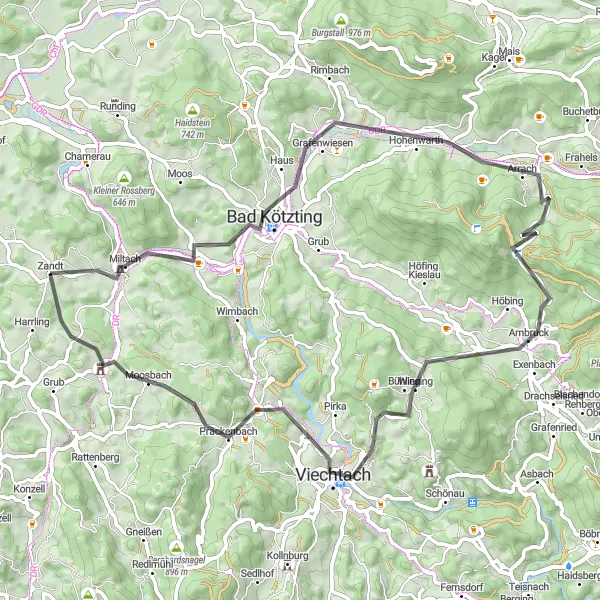
Chamerau and Bad Kötzting Loop

Explore the beauty of Chamerau and Bad Kötzting while cycling through stunning gravel roads.
This scenic 35-kilometer-long gravel route takes you through the charming towns of Chamerau and Bad Kötzting. Enjoy the quiet countryside and picturesque landscapes as you cycle along well-maintained gravel roads. The route includes a total ascent of 633 meters, providing a moderate challenge for cyclists. With its unique highlights including the Chamerau and Bad Kötzting town centers, this route offers a delightful blend of natural beauty and cultural attractions.
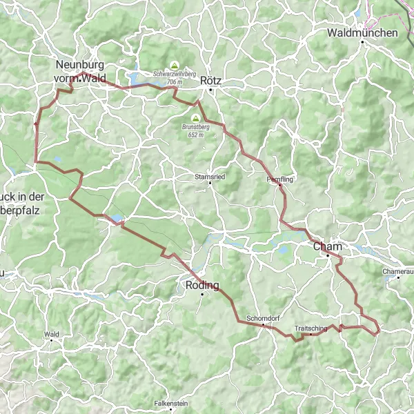
Embark on an adventurous gravel cycling expedition from Zandt to Blumerberg.
This gravel cycling route takes you from the peaceful village of Zandt to the scenic countryside destination of Blumerberg. With a total distance of 58 kilometers and an elevation gain of 1251 meters, this route offers a mix of challenging terrain and beautiful landscapes. Suitable for gravel enthusiasts, this route provides an exciting off-road experience, allowing you to explore the natural wonders of the Oberpfalz region.
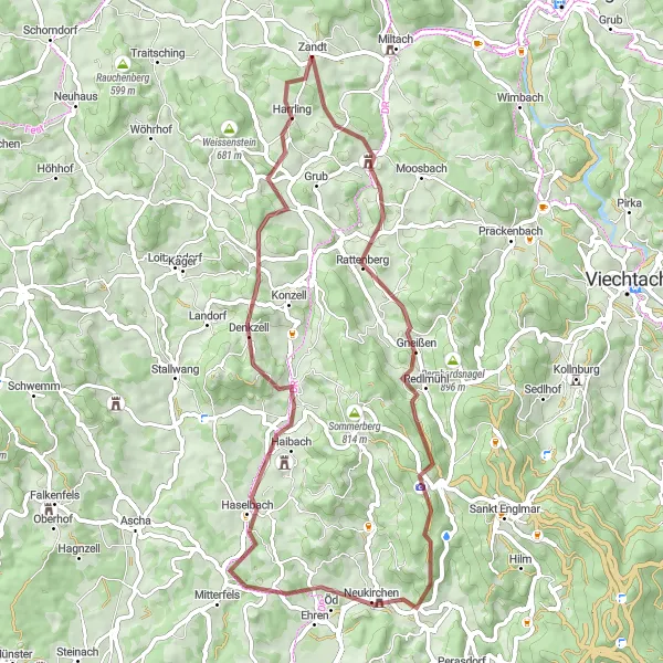
Discover Gravel Delights
Embark on a memorable gravel ride that explores the untouched countryside surrounding Zandt
Uncover the hidden gems of the Oberpfalz region with this 95 km gravel route near Zandt. With an ascent of 1275 meters, this thrilling ride is ideal for gravel enthusiasts looking to immerse themselves in the untouched natural beauty of the area.
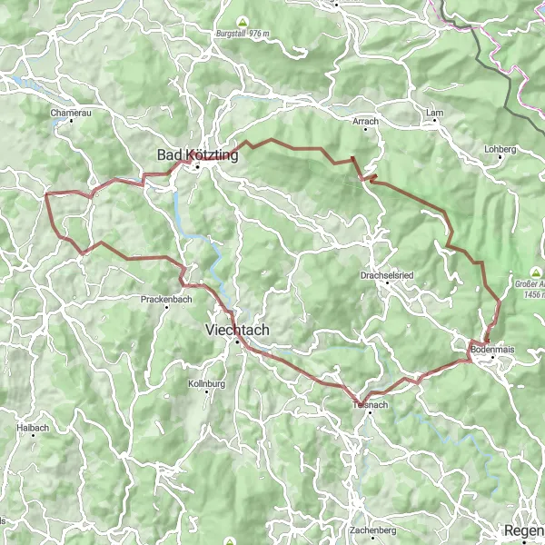
Experience the rough gravel roads and challenging climbs near Zandt
Embark on an exhilarating gravel adventure near Zandt in Oberpfalz. This 104 km route offers a thrilling ride with a total ascent of 1875 meters. As you pedal through the scenic landscapes, keep an eye out for some exciting highlights along the way.
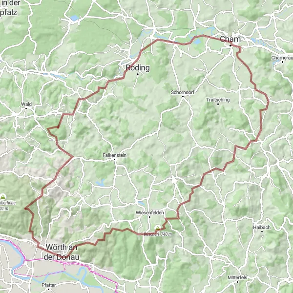
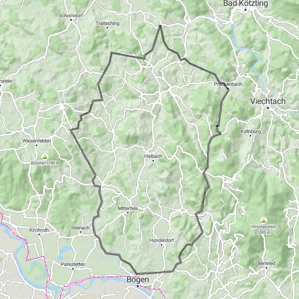
Embark on an adventurous and scenic gravel cycling route from Zandt to Schloss Altrandsberg.
This gravel cycling route takes you from the charming village of Zandt to the historic Schloss Altrandsberg. With a total distance of 83 kilometers and an elevation gain of 1929 meters, this route offers a mix of challenging climbs and scenic landscapes. As you navigate the gravel trails, you'll pass through charming Bavarian towns, enjoy breathtaking panoramic views, and discover hidden gems along the way.
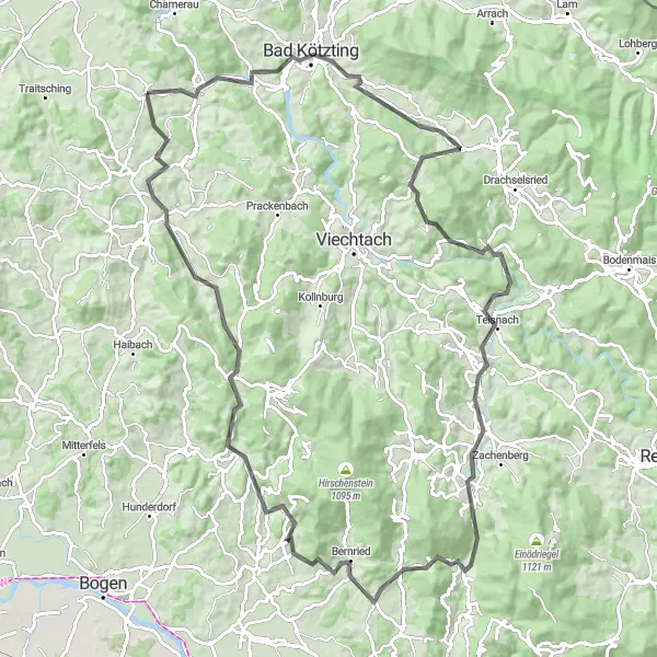
Embark on an epic road cycling journey from Zandt to Obergschwandt.
This road cycling route offers a challenging and rewarding adventure from Zandt to Obergschwandt. With a total distance of 104 kilometers and an elevation gain of 2071 meters, this route is suited for experienced cyclists seeking a physically demanding and visually spectacular ride. Along the way, you'll pass through picturesque Bavarian villages, conquer demanding ascents, and soak in breathtaking panoramic views of the surrounding landscapes.
Idyllic Road Ride
Immerse yourself in the serene beauty of the countryside on this road cycling route near Zandt
Enjoy a 67 km road cycling route near Zandt that promises stunning views and tranquil moments. With a total ascent of 1287 meters, this route is a great option for well-trained amateurs seeking a rewarding cycling experience.
Wind through the beautiful countryside from Zandt to Bogen.
This road cycling route takes you from the picturesque village of Zandt to the charming town of Bogen. Along the way, you'll admire stunning landscapes, navigate some challenging ascents, and pass through quaint Bavarian villages. With a total distance of 83 kilometers and an elevation gain of 1555 meters, this route is best suited for experienced cyclists seeking a scenic and challenging ride.
Fantastic Road Tour
Embark on a road cycling adventure through captivating landscapes near Zandt.
Prepare for a scenic road cycling journey through beautiful landscapes near Zandt. This 74 km route with an ascent of 1215 meters offers a mix of sweeping vistas, charming villages, and nature's tranquility.
Cycling routes nearby:

Nearby regions: