Zandt to Obergschwandt Road Cycling Route
A road cycling route starting from Zandt
Embark on an epic road cycling journey from Zandt to Obergschwandt.
Map
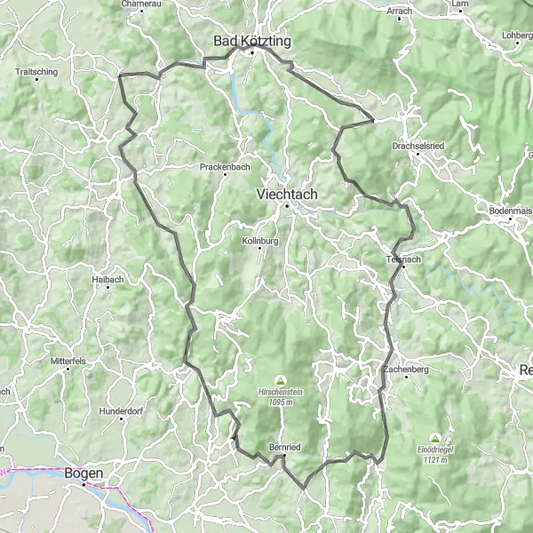
This road cycling route offers a challenging and rewarding adventure from Zandt to Obergschwandt. With a total distance of 104 kilometers and an elevation gain of 2071 meters, this route is suited for experienced cyclists seeking a physically demanding and visually spectacular ride. Along the way, you'll pass through picturesque Bavarian villages, conquer demanding ascents, and soak in breathtaking panoramic views of the surrounding landscapes.
road
104 km
2071 m
Savage
Route profile
Highlights on the route
0 km
0 km
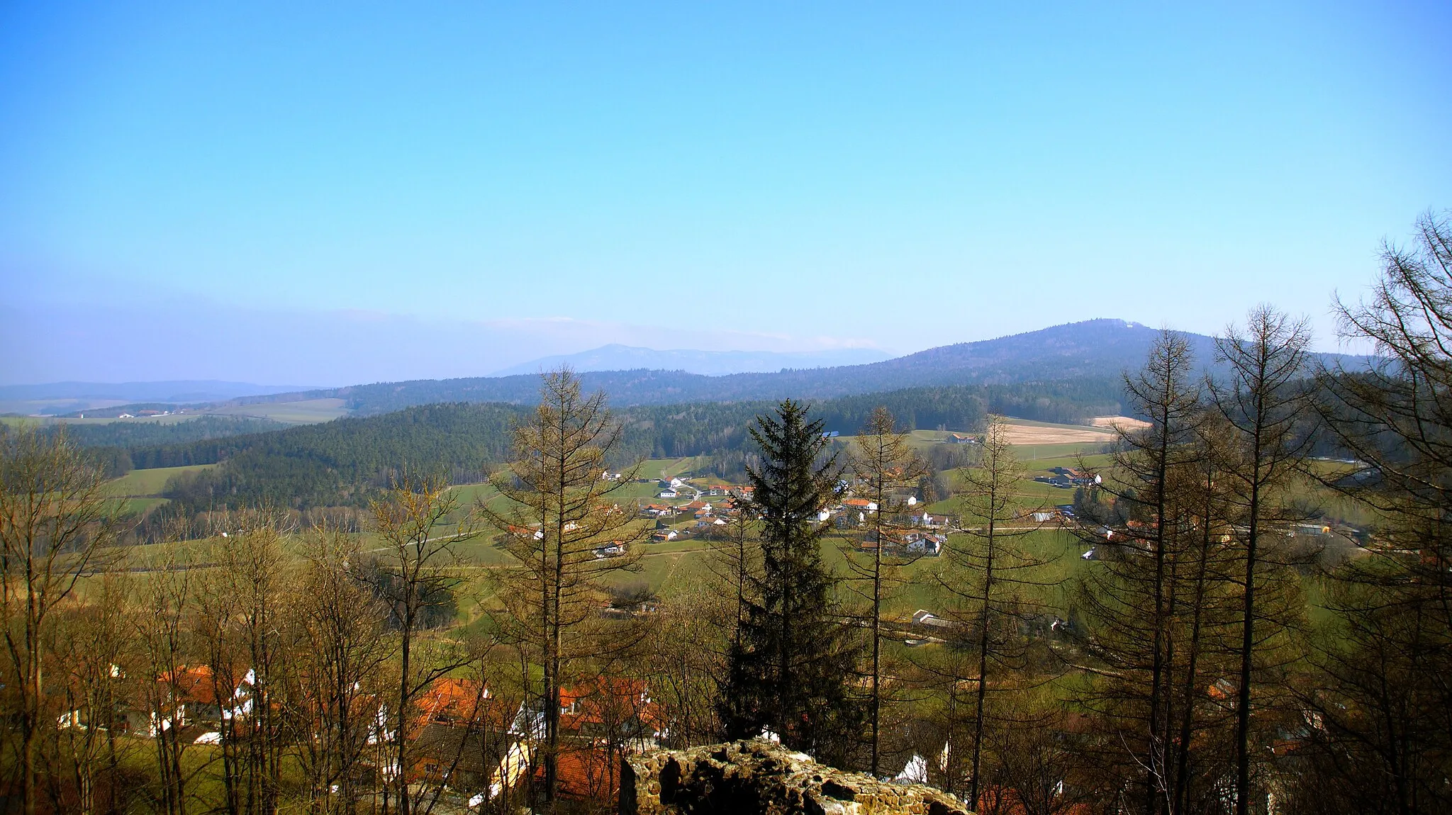
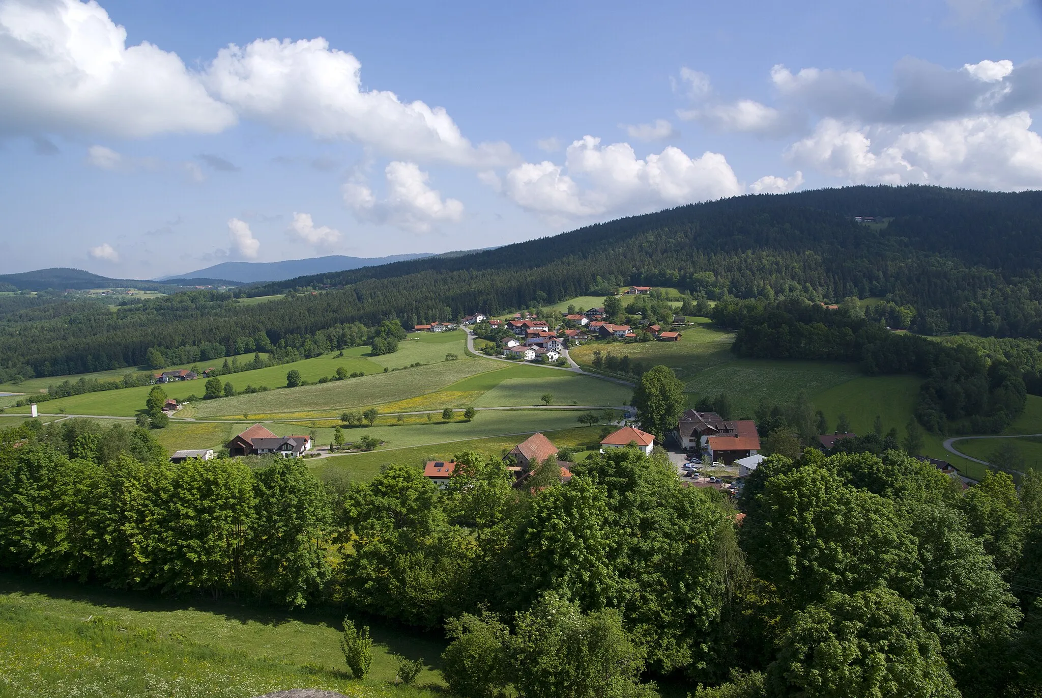
Start: Zandt Village centerZandt: Cycling paradise in Oberpfalz
Zandt is a locality in Oberpfalz, Germany. It is a hidden gem for cycling enthusiasts, offering a mix of challenging climbs and scenic routes. Road cyclists will enjoy the hilly terrain and beautiful views, while gravel cyclists can explore the network of gravel paths that crisscross through the countryside. Zandt is a great place to experience the natural beauty of Oberpfalz while enjoying a thrilling cycling adventure.7 km
7 km
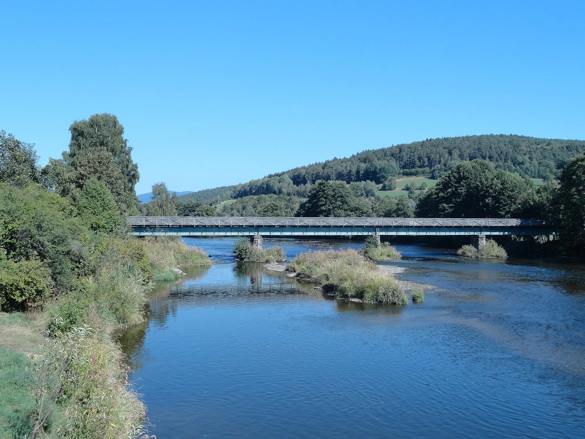
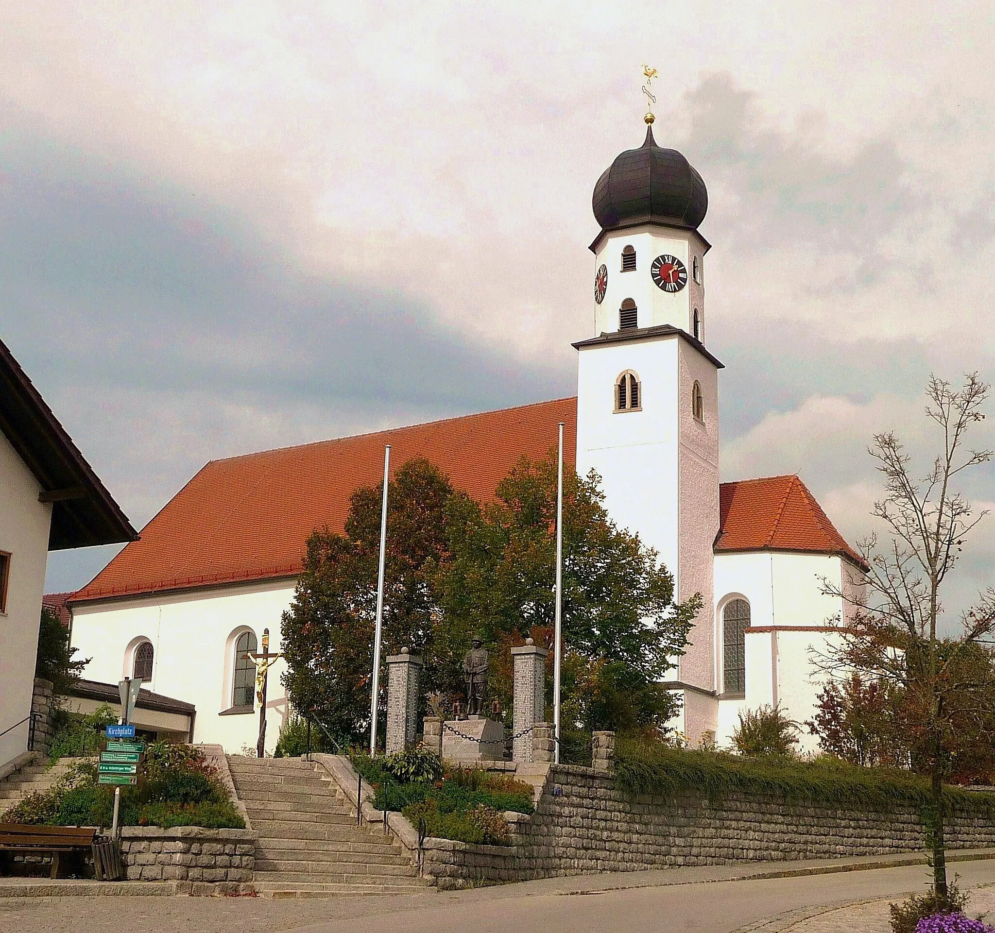
BlaibachVillageBegin your journey in the idyllic village of Blaibach, known for its picturesque surroundings and the famous Blaibach Concert Hall.
29 km
29 km
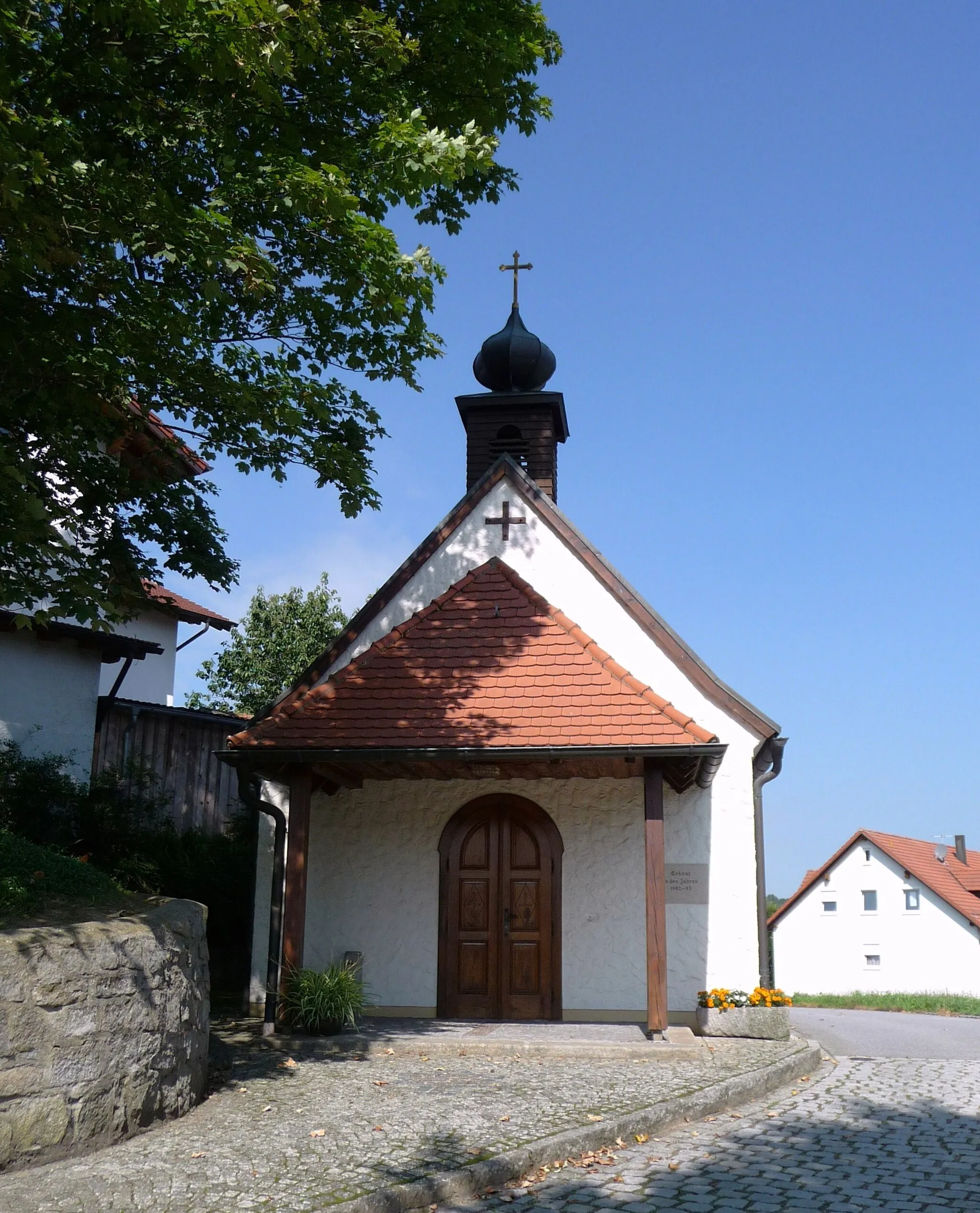
Burg NeunußbergCastleExplore the enchanting Burg Neunußberg, a medieval castle that offers stunning views and a glimpse into the region's history.
36 km
36 km
Ochsenberg581 mPeakDiscover the majestic Ochsenberg, a hill known for its impressive rock formations and panoramic views of the surrounding countryside.
43 km
43 km
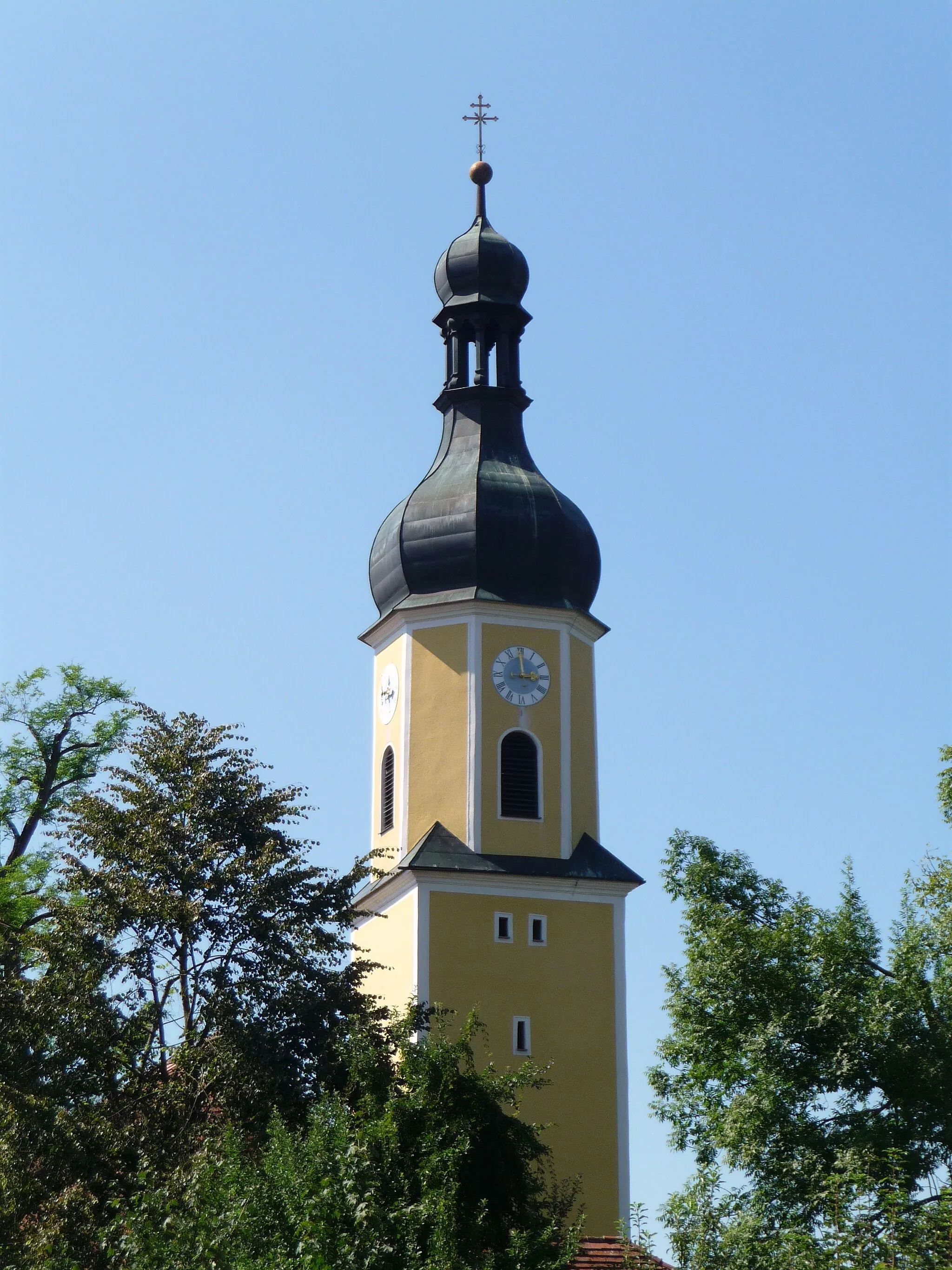
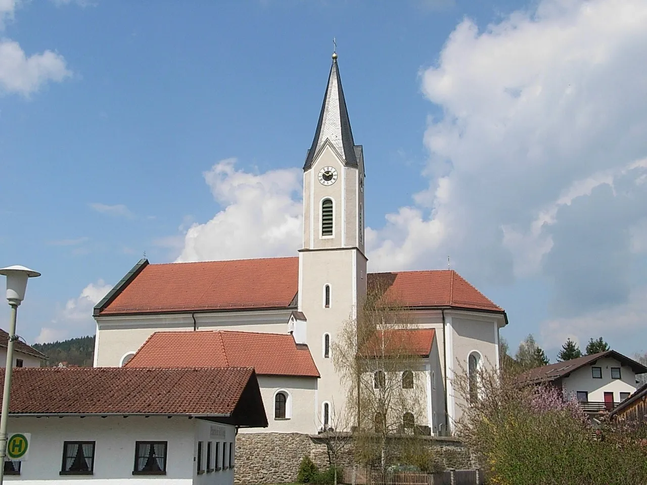
PatersdorfVillageTake in the tranquil atmosphere of Patersdorf, a charming village nestled in the mountains and surrounded by pristine nature.
53 km
53 km
Hocheck727 mPeakMarvel at the breathtaking vistas from Hocheck, a peak that offers sweeping views of the Bavarian Forest National Park.
66 km
66 km
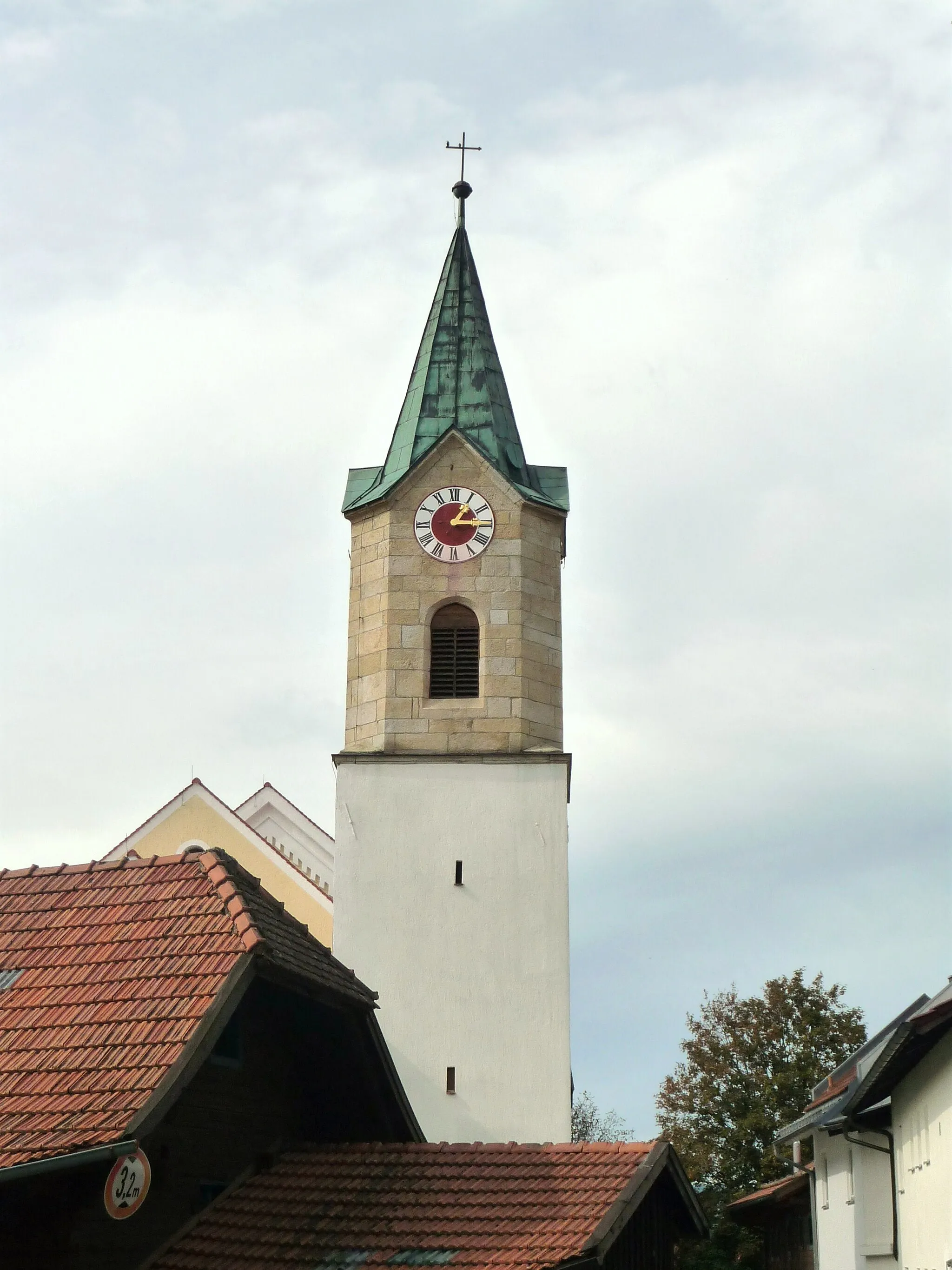
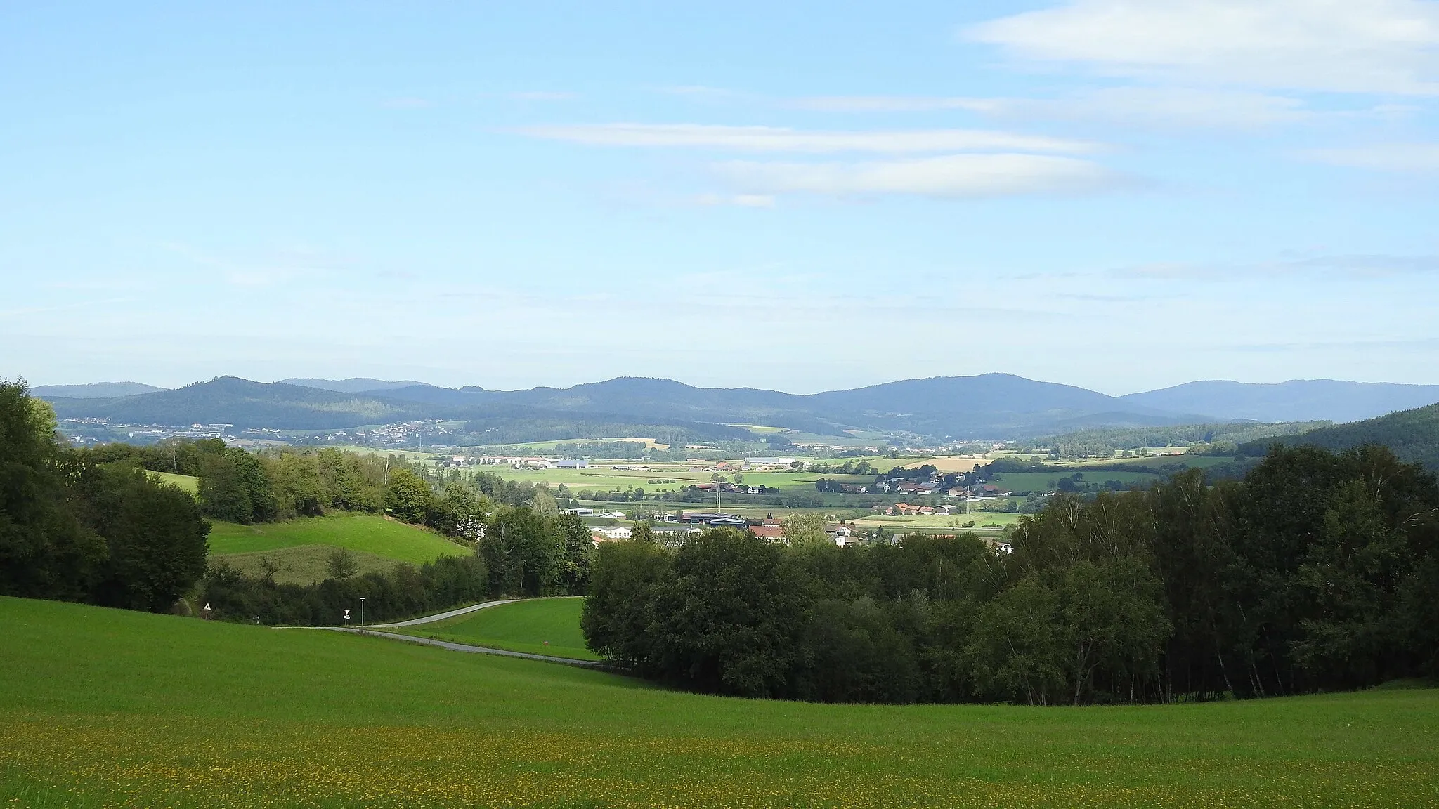
BernriedVillageDiscover the scenic beauty of Bernried, a village located on the shores of the picturesque Regen River.
68 km
68 km
Höhenberg690 mPeakClimb to the summit of Höhenberg, a challenging ascent that rewards you with stunning panoramic views.
76 km
76 km
PerasdorfVillageImmerse yourself in the peacefulness of Perasdorf, a small village surrounded by rolling hills and lush meadows.
80 km
80 km
Urberberg614 mPeakPass through Urberberg, an elevated area offering breathtaking views and a sense of tranquility.
97 km
97 km
ObergschwandtVillageEnd your journey in Obergschwandt, a quaint Bavarian village renowned for its traditional timber-framed houses and peaceful atmosphere.
104 km
104 km
Finish: Zandt Village centerZandt: Cycling paradise in Oberpfalz
Cycling routes from Zandt:
Chamerau and Bad Kötzting Loop Zandt Gravel Adventure Idyllic Road Ride Discover Gravel Delights Fantastic Road Tour Zandt to Bogen Road Cycling Route Zandt to Blumerberg Gravel Cycling Route Zandt to Riegelholzberg Road Cycling Route Zandt to Obergschwandt Road Cycling Route Zandt to Schloss Altrandsberg Gravel Cycling Route
Cycling routes nearby: