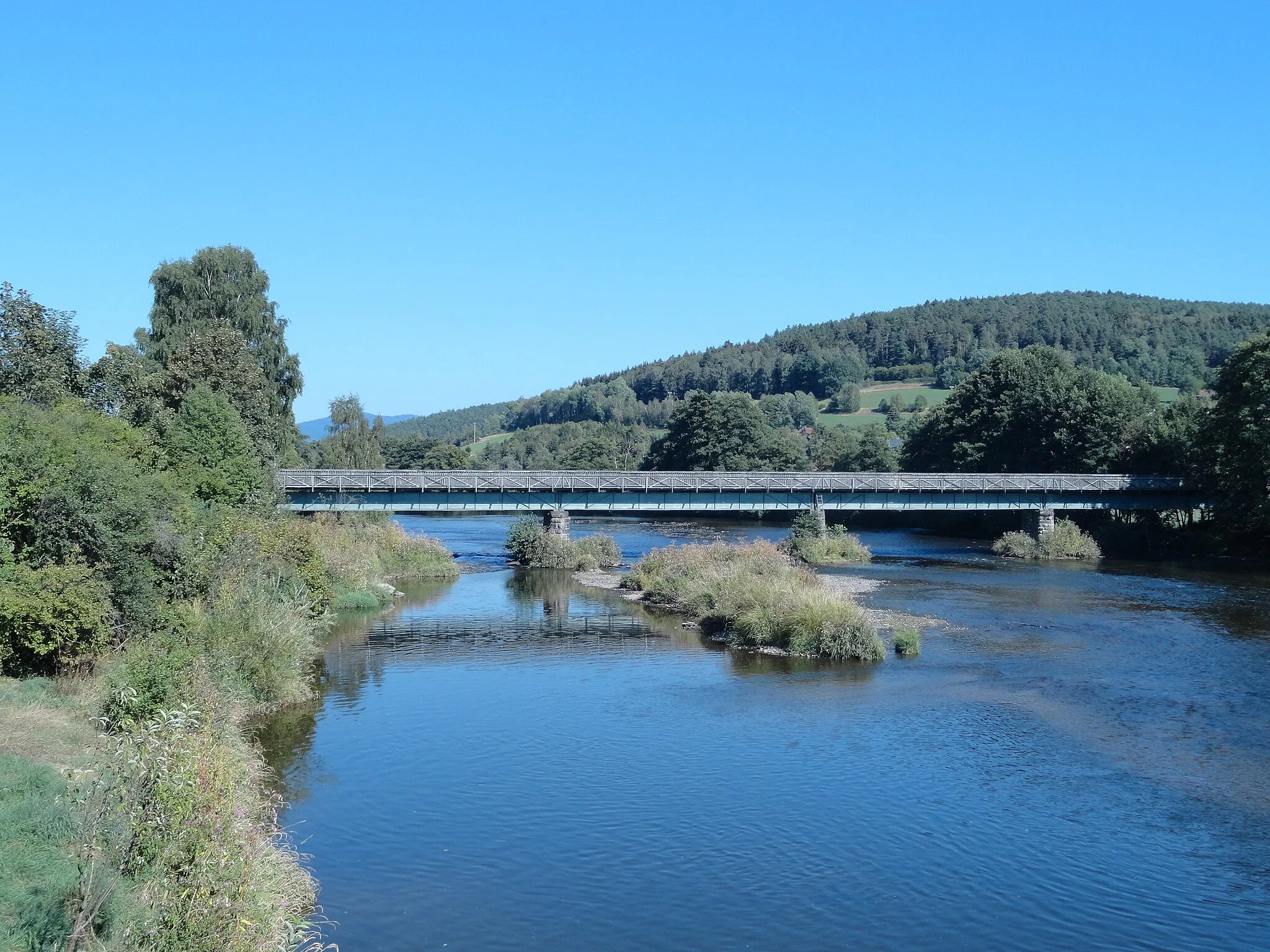
Scenic road and gravel cycling in Oberpfalz, Germany.
Cycling routes from Traitsching
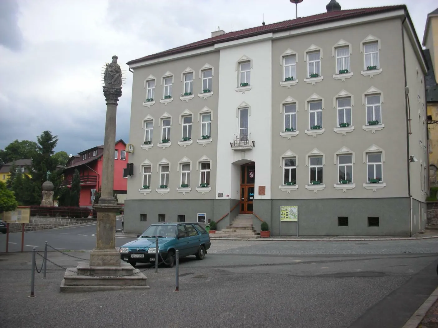
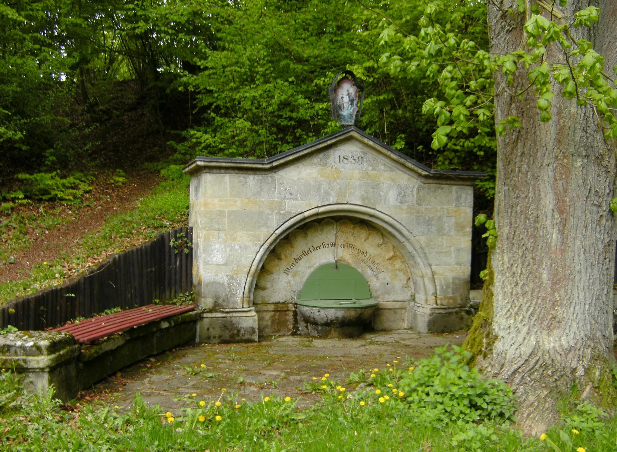
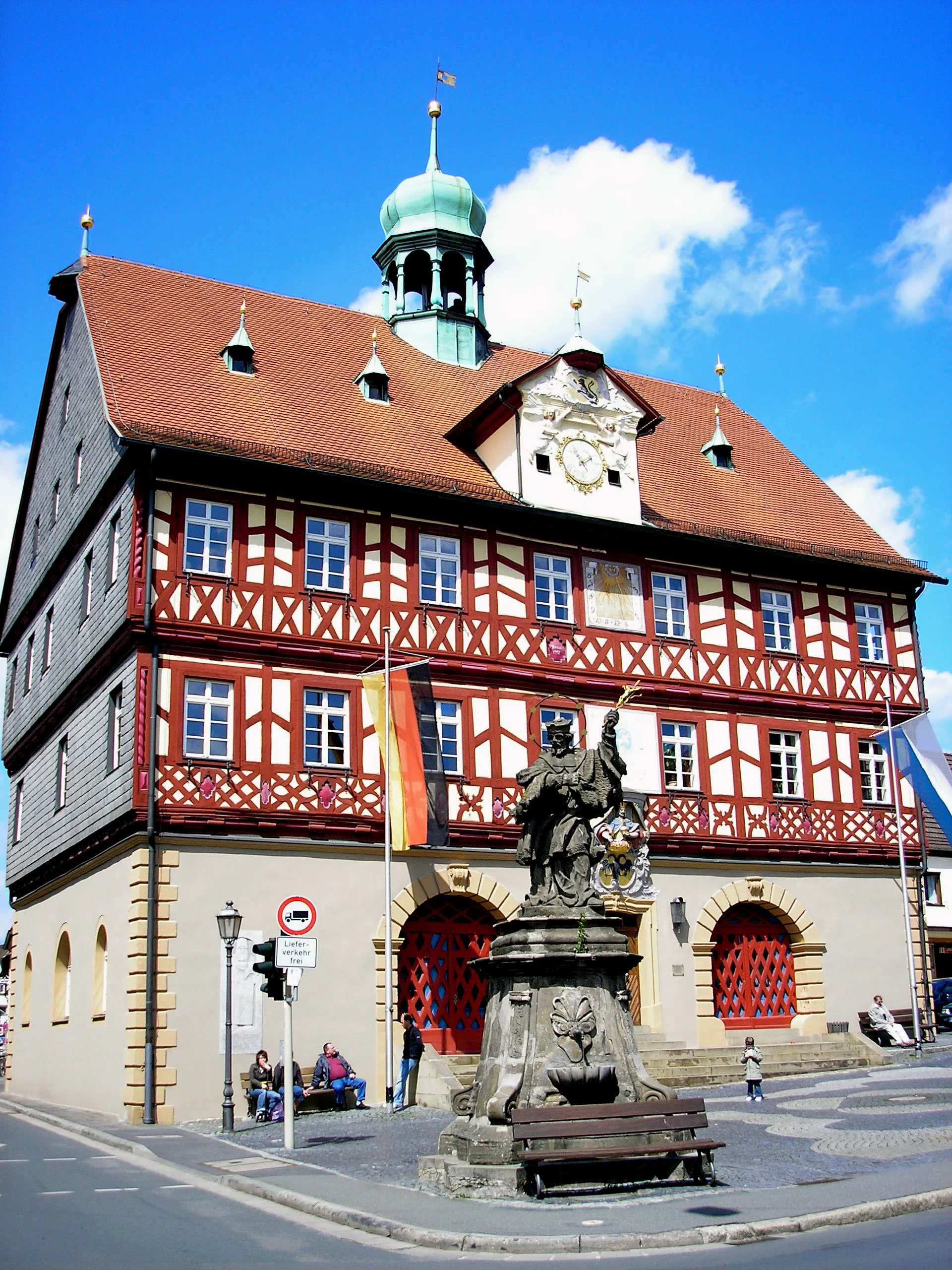
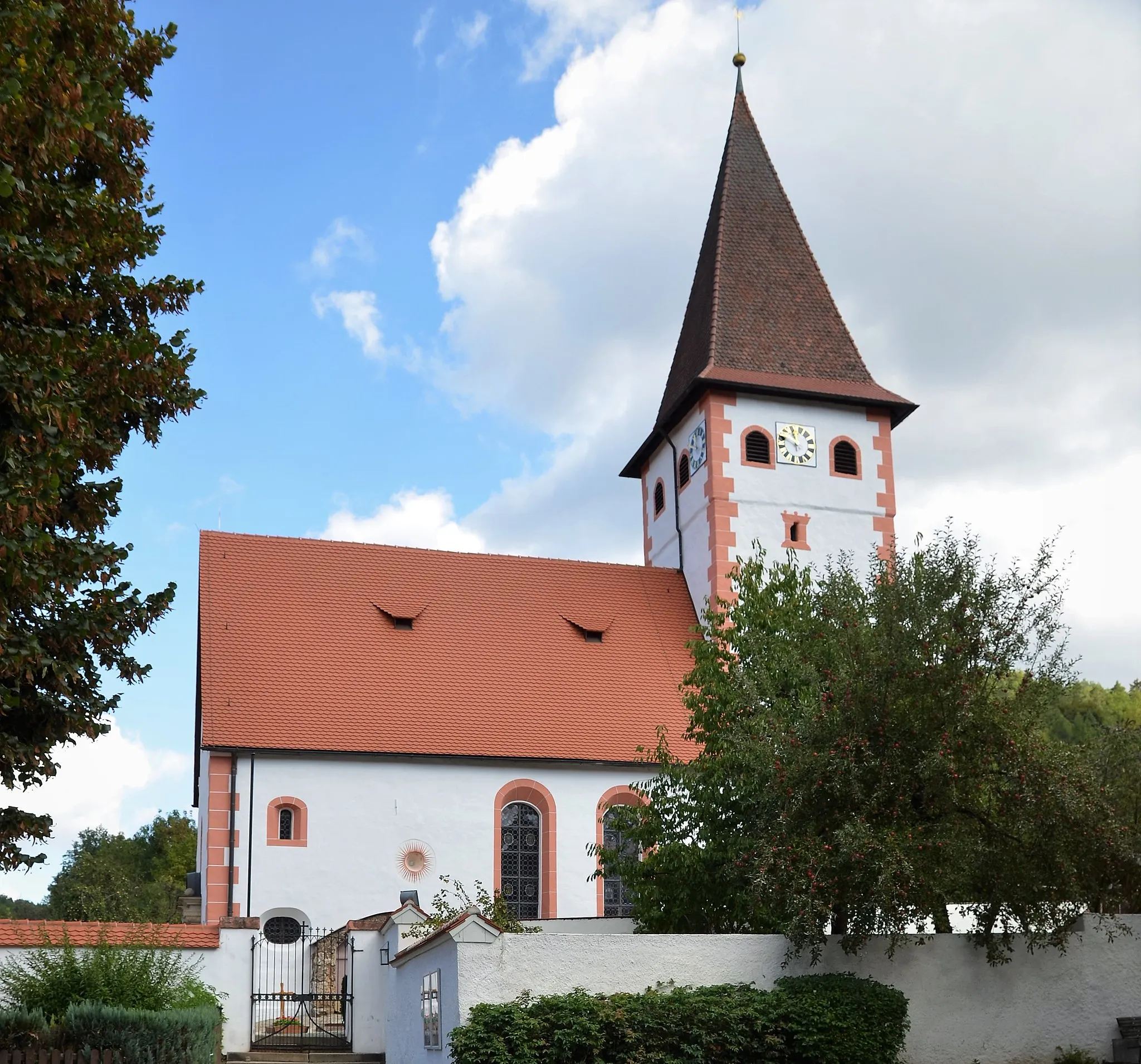
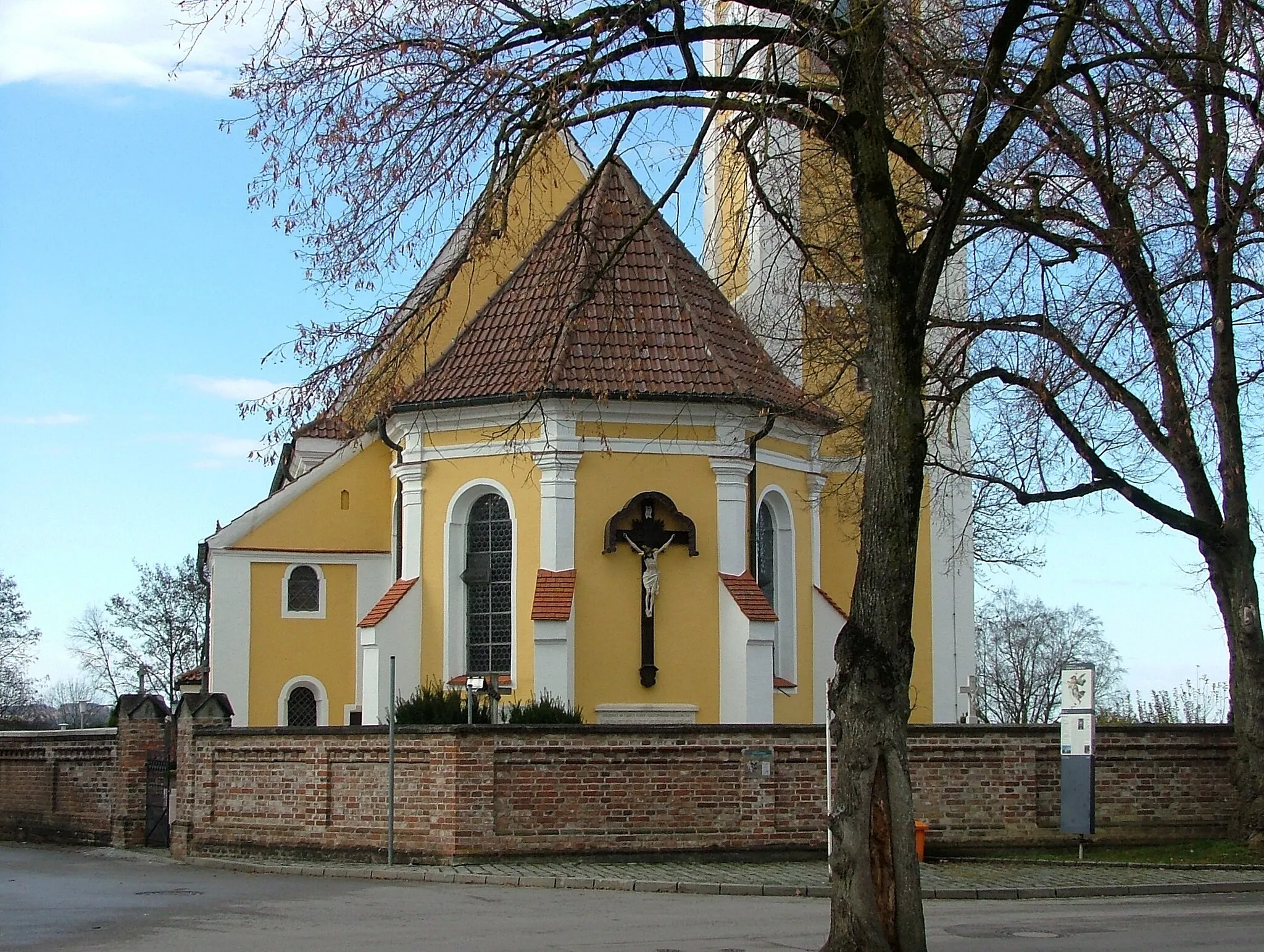
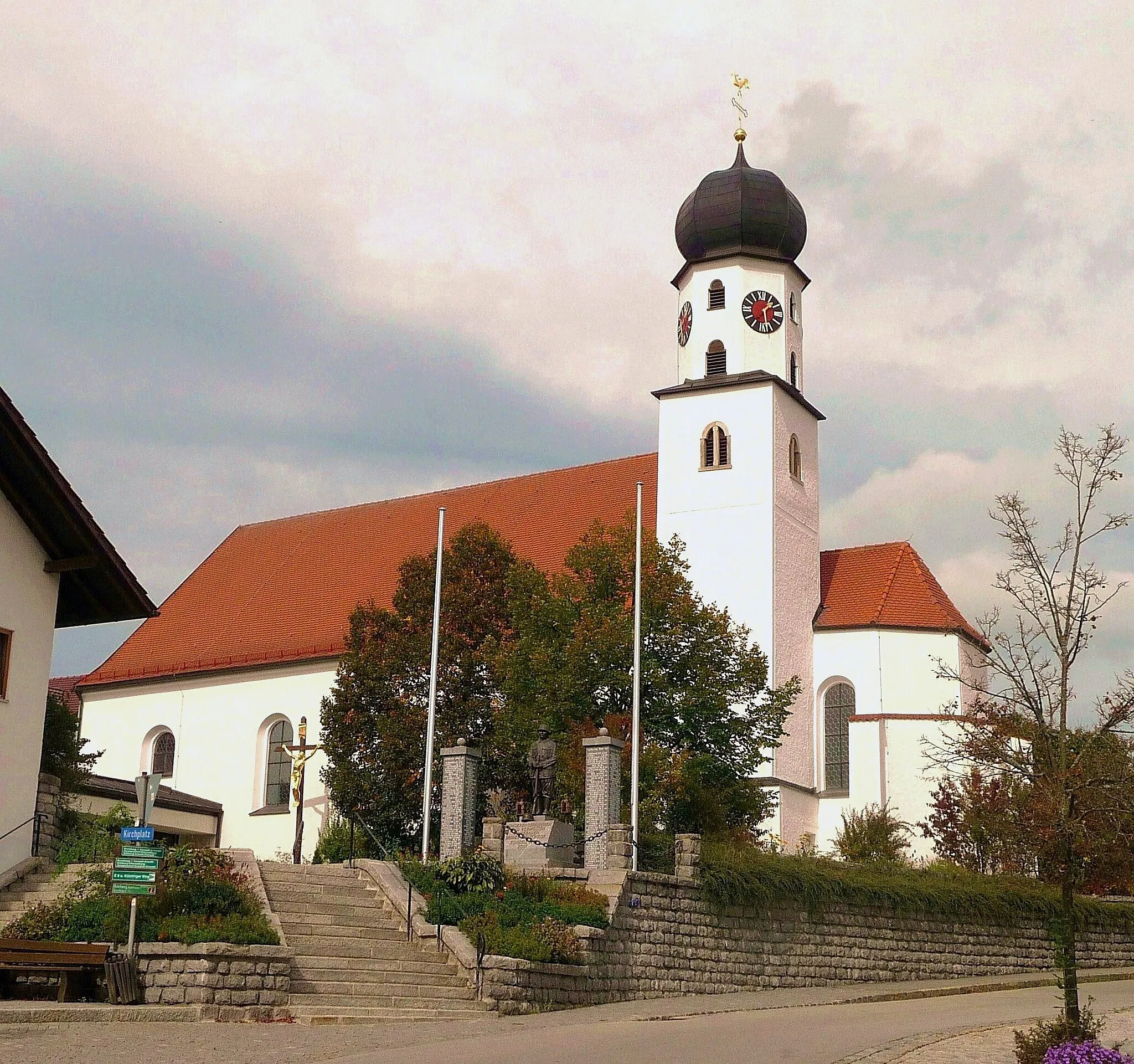
Traitsching in Oberpfalz, Germany, is a great locality for road and gravel cycling. The area has well-maintained roads with minimal traffic, making it ideal for cyclists. There are also several picturesque routes to explore, including the famous Waldaufstieg and the Hirschberg hill climb.
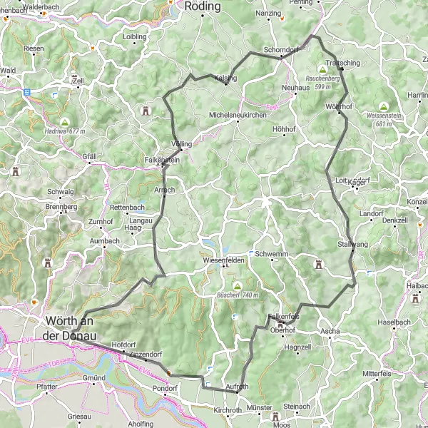
Embark on an adventurous cycling route through the scenic landscapes of Rattiszell and Falkenstein.
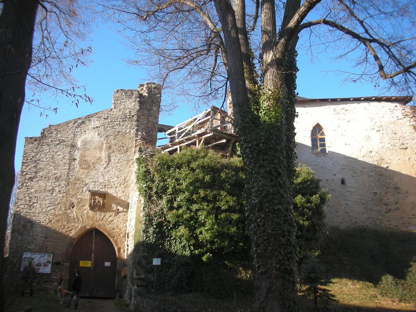
This road cycling route starting near Traitsching takes you on a thrilling adventure through the picturesque landscapes of Rattiszell and Falkenstein. With a distance of 81 kilometers and an ascent of 1366 meters, it provides a challenging experience for intermediate-level cyclists. The highlights along the route include Schanzenberg, Rattiszell, Tiefenthal, Burg Falkenstein, Schweinsberg, and Weinberg. These places offer a mix of natural beauty, historical sites, and breathtaking viewpoints. Overall, this route allows you to immerse yourself in the stunning landscapes and rich history of Rattiszell and Falkenstein, while enjoying an exhilarating cycling journey across the Oberpfalz countryside.
Traitsching and Surroundings
Experience the countryside of Traitsching on this scenic road cycling route.
This round-trip cycling route near Traitsching allows you to explore the beautiful countryside and villages in the Oberpfalz region of Germany. With a distance of 53 kilometers and an ascent of 1102 meters, it offers a moderate challenge for amateur cyclists. The highlights along the route include Gossersdorf, Blumerberg, Rattiszell, Viechtberg, Traitsching, and Schanzenberg. These places offer breathtaking views, charming rural landscapes, and historical attractions. Overall, this route provides a fantastic opportunity to immerse yourself in the natural beauty and rich cultural heritage of Traitsching and its surrounding areas.
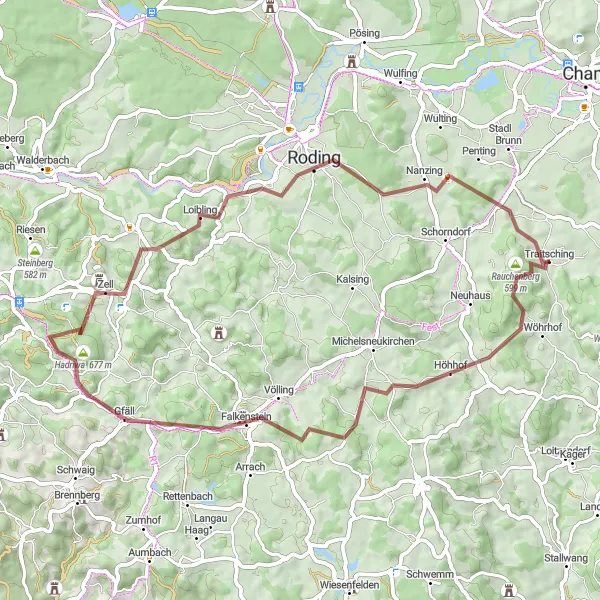
Embark on a scenic gravel tour to the charming towns of Roding and Loifling.
This gravel cycling route starting near Traitsching takes you on a scenic tour to the charming towns of Roding and Loifling. With a distance of 56 kilometers and an ascent of 1212 meters, it offers an exhilarating challenge for experienced gravel riders. The highlights along the route include Rauchenberg, Burg Falkenstein, Hadriwa, Geiselberg, Roding, Weinberg, and Loifling. These places offer stunning natural landscapes, historic attractions, and tranquil countryside views. Overall, this route provides the opportunity to explore the beauty of Roding and Loifling while embarking on a thrilling gravel biking journey through the Oberpfalz region.
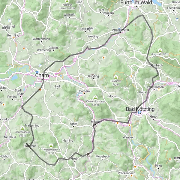
Experience the scenic beauty of Traitsching region while passing through Cham and the charming town of Bad Kötzting.
This scenic road cycling route near Traitsching covers a distance of 72km with an ascent gain of 969m. Explore the natural beauty and cultural highlights of Cham, Buchfeld, Arnschwang, Bad Kötzting, Venus, Miltach, and Geigenmühle. The route offers a moderate difficulty level of 3 out of 5, ideal for recreational cyclists seeking a memorable ride. With its charming towns, stunning landscapes, and the historic town of Cham, this route attains an epicness level of 3 out of 5.
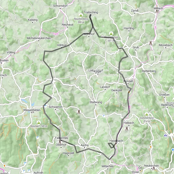
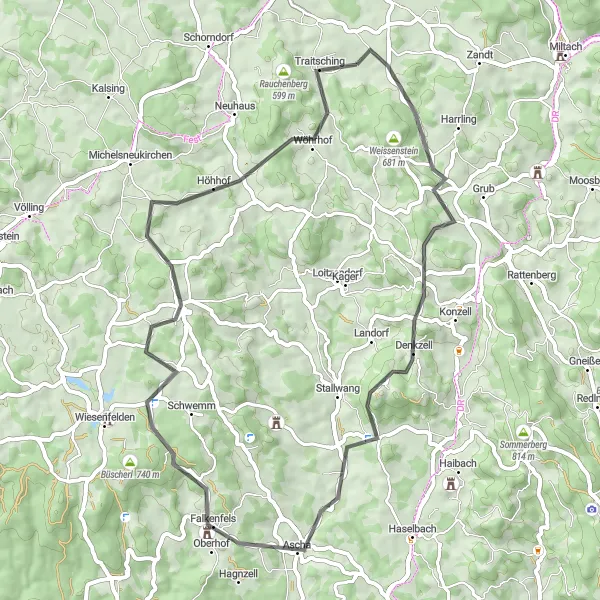
Embark on a cycling adventure through the charming villages of Konzell and Falkenfels.
This road cycling route starting near Traitsching will take you on a journey to the idyllic villages of Konzell and Falkenfels. With a distance of 61 kilometers and an ascent of 1196 meters, it provides a challenging yet rewarding experience for experienced amateur cyclists. The highlights along the route include Traitsching, Schanzenberg, Konzell, Schützberg, Einfürst, Falkenfels, Steinriegel, Untergosszell, and Fundberg. These places offer a mix of natural beauty and cultural heritage, with opportunities to explore traditional Bavarian architecture, historic sites, and breathtaking viewpoints. Overall, this route allows you to immerse yourself in the charm and history of Konzell and Falkenfels, while enjoying a fulfilling cycling experience across the Oberpfalz countryside.
Traitsching-Miltach-Traitsching
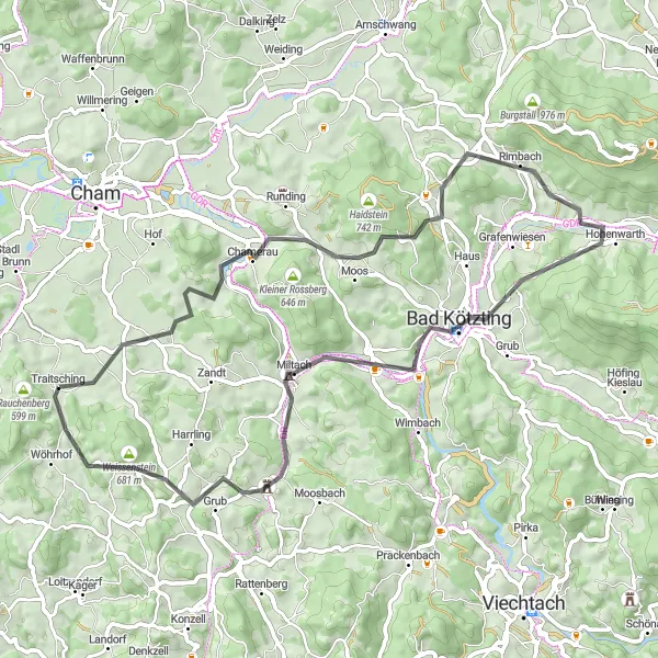
Explore the hilly landscapes of Oberpfalz from Traitsching to Miltach.
This round-trip cycling route starting near Traitsching takes you through the beautiful Oberpfalz region of Germany. With a total ascent of 1030 meters and covering a distance of 62 kilometers, this route is suitable for well-trained amateur cyclists. The route offers stunning landscapes and a few challenging climbs, providing a delightful experience for those looking to explore the region on two wheels. Starting in Traitsching, you will pass through several highlights including Schanzenberg, Chamerau, Schlossberg, Hohenwarth, Bad Kötzting, and Köpfelsberg before returning to Traitsching. These highlights offer unique attractions and picturesque views along the route.
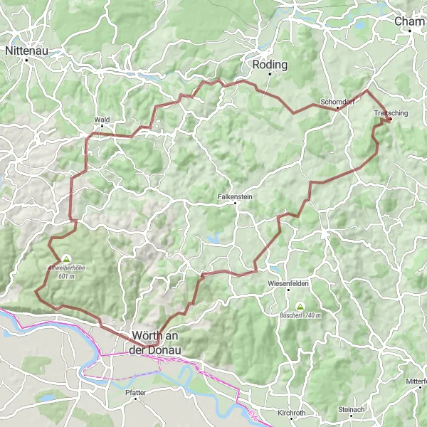
Embark on a thrilling gravel adventure passing by Rauchenberg, Klingerberg, Herrnberg, Altweiberhöhe, and the iconic Burgruine Lobenstein.
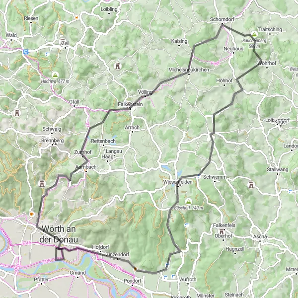
This 91km gravel route near Traitsching promises an exhilarating adventure for gravel cycling enthusiasts. With an ascent gain of 1823m, this challenging route will take you through diverse landscapes and historical sites. Highlights along the way include Traitsching, Rauchenberg, Klingerberg, Witzenzell, Wörth an der Donau, Herrnberg, Bach an der Donau, Altweiberhöhe, Dangelsdorfer Berg, Burgruine Lobenstein, Weinberg, and Loifling. Rated with a difficulty level of 5 out of 5, this route is suitable for experienced cyclists with excellent technical skills. The epicness rating for this route is 4 out of 5, thanks to the jaw-dropping landscapes and unique historical attractions.

Explore the mesmerizing Traitsching countryside while passing by Schloss Altrandsberg, Bogen, and the legendary Teufelsfelsen.
Embark on an 80km road cycling journey through the sublime landscapes near Traitsching. This route features an ascent gain of 1378m and takes you past captivating highlights such as Traitsching, Schanzberg, Schloss Altrandsberg, Klinglbach, Urberberg, Bogen, Teufelsfelsen, Haunkenzell, and Einfaltsberg. The difficulty level of this route is rated 4 out of 5, making it suitable for experienced amateur cyclists. With its mix of historic castles, stunning viewpoints, and natural beauty, this route offers an epicness level of 4 out of 5.
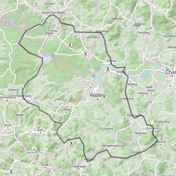
Embark on an adventurous road cycling journey passing by the historical Burgruine Sengersberg and the charming village of Pösing near Traitsching.
Discover the beauty of Sengersberg and Pösing on this road cycling route near Traitsching. The route covers a total distance of 77km with an elevation gain of 1313m. Highlights along the way include Schweinsberg, Burgruine Sengersberg, Walderbach, Neubäu am See, Haselberg, Pösing, Nanzing, and Rauchenberg. This route is rated with a difficulty level of 3 out of 5, making it suitable for well-trained amateur cyclists. Experience the epicness of this route, which is rated 4 out of 5, thanks to the historical landmarks and beautiful landscapes you will encounter.
Experience the stunning sights of Fundberg, Wiesenfelden, and the majestic Schloßberg on this beautiful road cycling route near Traitsching.
This road cycling route near Traitsching takes you through picturesque landscapes and charming villages. Enjoy the challenge of a 1333m ascent over a distance of 74km. Highlights of the route include Fundberg, Wiesenfelden, Wörth an der Donau, and Schloßberg. The difficulty level of this ride is rated 4 out of 5, making it suitable for well-trained amateur cyclists. With a diverse mix of natural beauty and cultural landmarks, this route offers an epic cycling experience rated 4 out of 5.
Cycling routes nearby:


Nearby regions: