Gravel Adventure to Rauchenberg and Burgruine Lobenstein
A gravel cycling route starting from Traitsching
Embark on a thrilling gravel adventure passing by Rauchenberg, Klingerberg, Herrnberg, Altweiberhöhe, and the iconic Burgruine Lobenstein.
Map
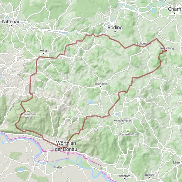
This 91km gravel route near Traitsching promises an exhilarating adventure for gravel cycling enthusiasts. With an ascent gain of 1823m, this challenging route will take you through diverse landscapes and historical sites. Highlights along the way include Traitsching, Rauchenberg, Klingerberg, Witzenzell, Wörth an der Donau, Herrnberg, Bach an der Donau, Altweiberhöhe, Dangelsdorfer Berg, Burgruine Lobenstein, Weinberg, and Loifling. Rated with a difficulty level of 5 out of 5, this route is suitable for experienced cyclists with excellent technical skills. The epicness rating for this route is 4 out of 5, thanks to the jaw-dropping landscapes and unique historical attractions.
gravel
91 km
1823 m
Savage
Route profile
Highlights on the route
0 km
0 km
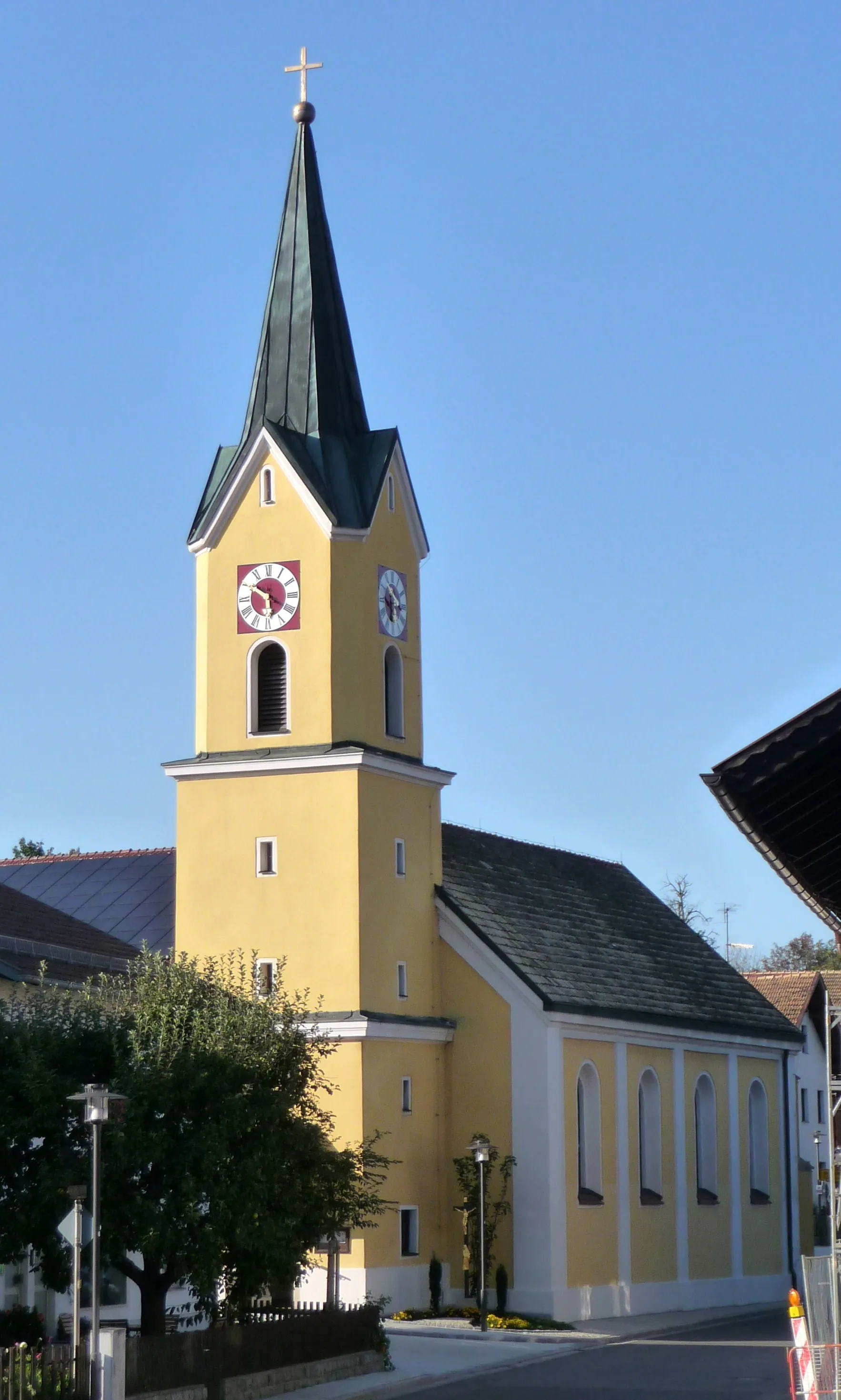
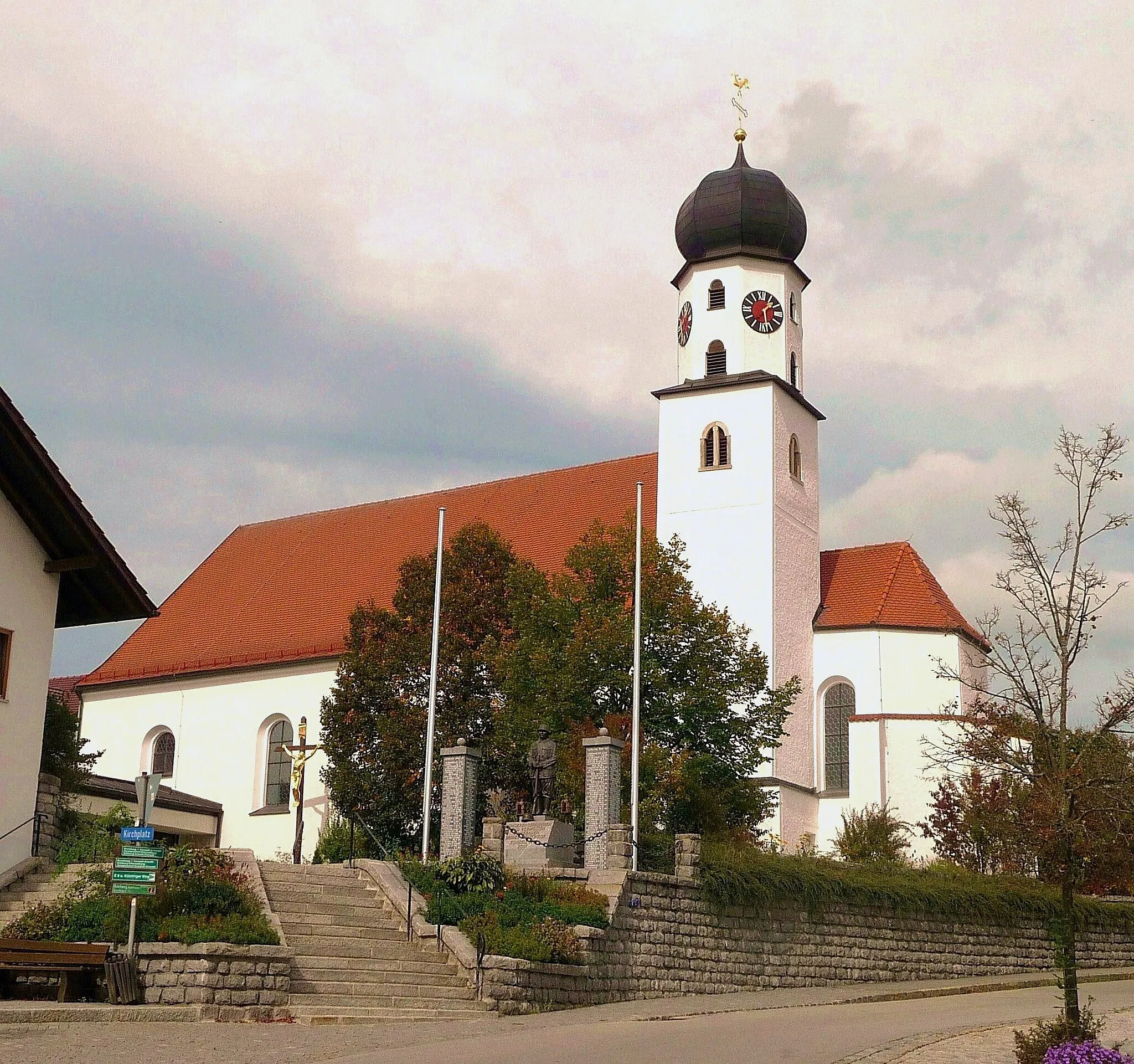
Start: Traitsching Village centerTraitsching: Scenic road and gravel cycling in Oberpfalz, Germany.
Traitsching in Oberpfalz, Germany, is a great locality for road and gravel cycling. The area has well-maintained roads with minimal traffic, making it ideal for cyclists. There are also several picturesque routes to explore, including the famous Waldaufstieg and the Hirschberg hill climb.0 km
0 km
TraitschingVillageTraitsching is a picturesque village with charming timber-framed houses.
1 km
1 km
Rauchenberg599 mPeakRauchenberg offers breathtaking panoramic views and is a favorite among cyclists.
13 km
13 km
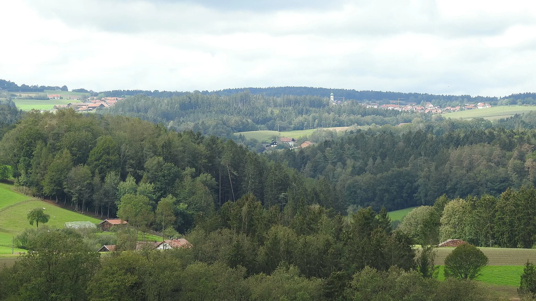
Klingerberg637 mPeakKlingerberg is renowned for its challenging gravel paths and rugged terrain.
14 km
14 km
WitzenzellVillageWitzenzell is a small village surrounded by beautiful nature, perfect for gravel cycling.
32 km
32 km
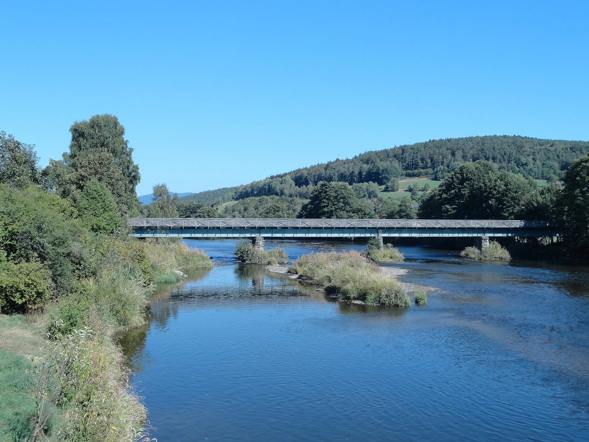
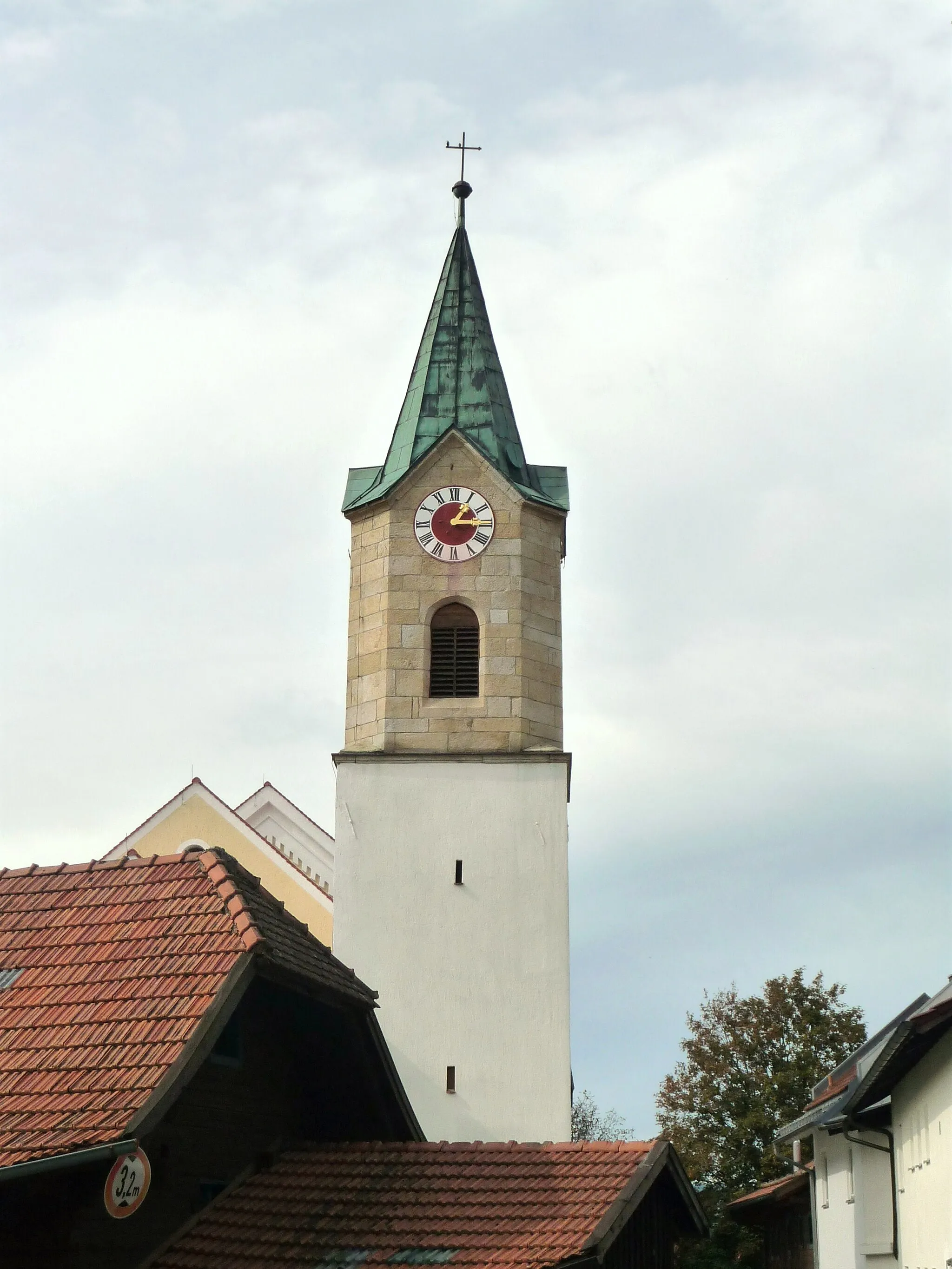
Wörth an der DonauTownWörth an der Donau boasts rich cultural heritage and a scenic location along the river.
32 km
32 km
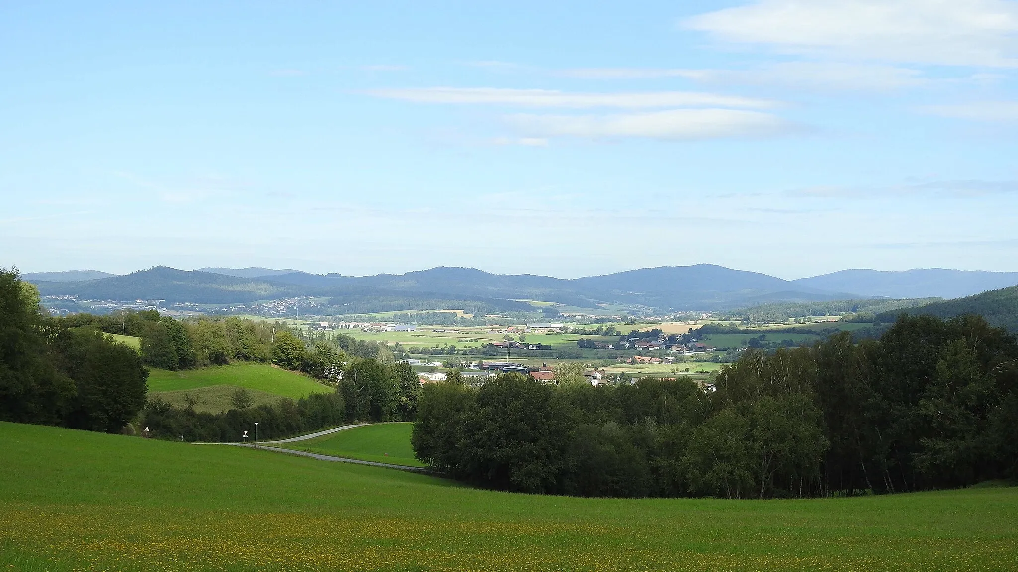
Herrnberg399 mPeakHerrnberg is a peaceful mountain offering stunning views and enjoying natural serenity.
41 km
41 km
Bach an der DonauVillageBach an der Donau is a charming riverside town with captivating landscapes in every lslgleigungr.
47 km
47 km
Altweiberhöhe601 mPeakAltweiberhöhe is a spectacular viewpoint atop a hill, offering breathtaking vistas.
62 km
62 km
Dangelsdorfer Berg605 mPeakDangelsdorfer Berg is a challenging hill for grit-thirsty gravel cyclists, known for its rewarding views.
66 km
66 km
Burgruine LobensteinCastleBurgruine Lobenstein is an ancient castle ruin boasting commanding views of the surrounding countryside.
87 km
87 km
Weinberg432 mPeakWeinberg is a picturesque hill with vineyards stretching as far as the eye can see.
89 km
89 km
LoiflingVillageLoifling charms with its idyllic countryside setting and stunning vistas over the landscape.
91 km
91 km
Finish: Traitsching Village centerTraitsching: Scenic road and gravel cycling in Oberpfalz, Germany.
Cycling routes from Traitsching:
Traitsching and Surroundings Discovering Konzell and Falkenfels Exploring Rattiszell and Falkenstein Gravel Adventure to Michelsneukirchen and Neubäu am See A Scenic Gravel Tour to Roding and Loifling Wiesenfelden and Schloßberg Road Ride Burgruine Sengersberg and Pösing Road Adventure Charming Castles and Breathtaking Views Road Ride Gravel Adventure to Rauchenberg and Burgruine Lobenstein Cham and Bad Kötzting Scenic Road Ride Traitsching-Miltach-Traitsching
Cycling routes nearby: