Immerse yourself in the tranquility of Prackenbach's countryside on your cycling adventure.
Cycling routes from Prackenbach
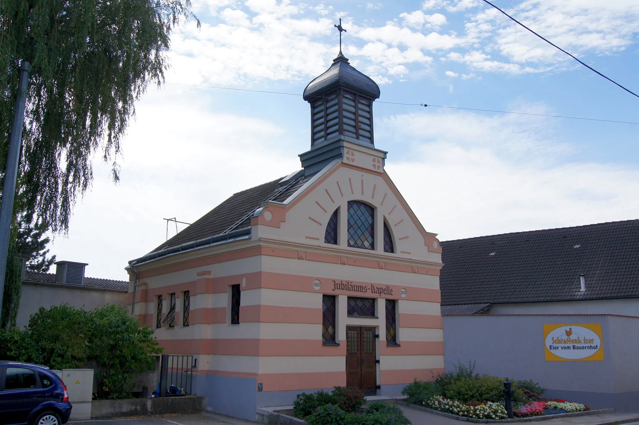
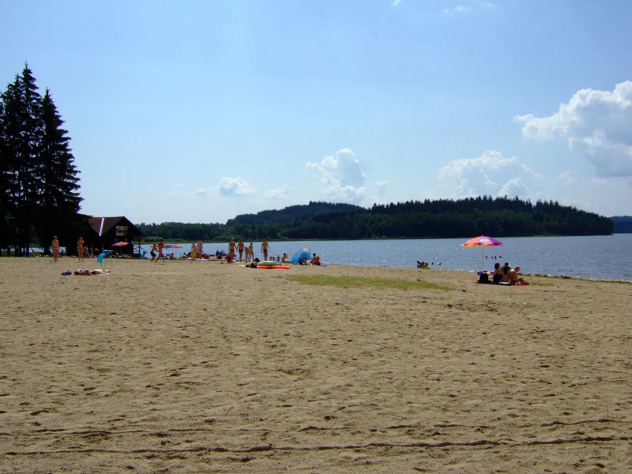
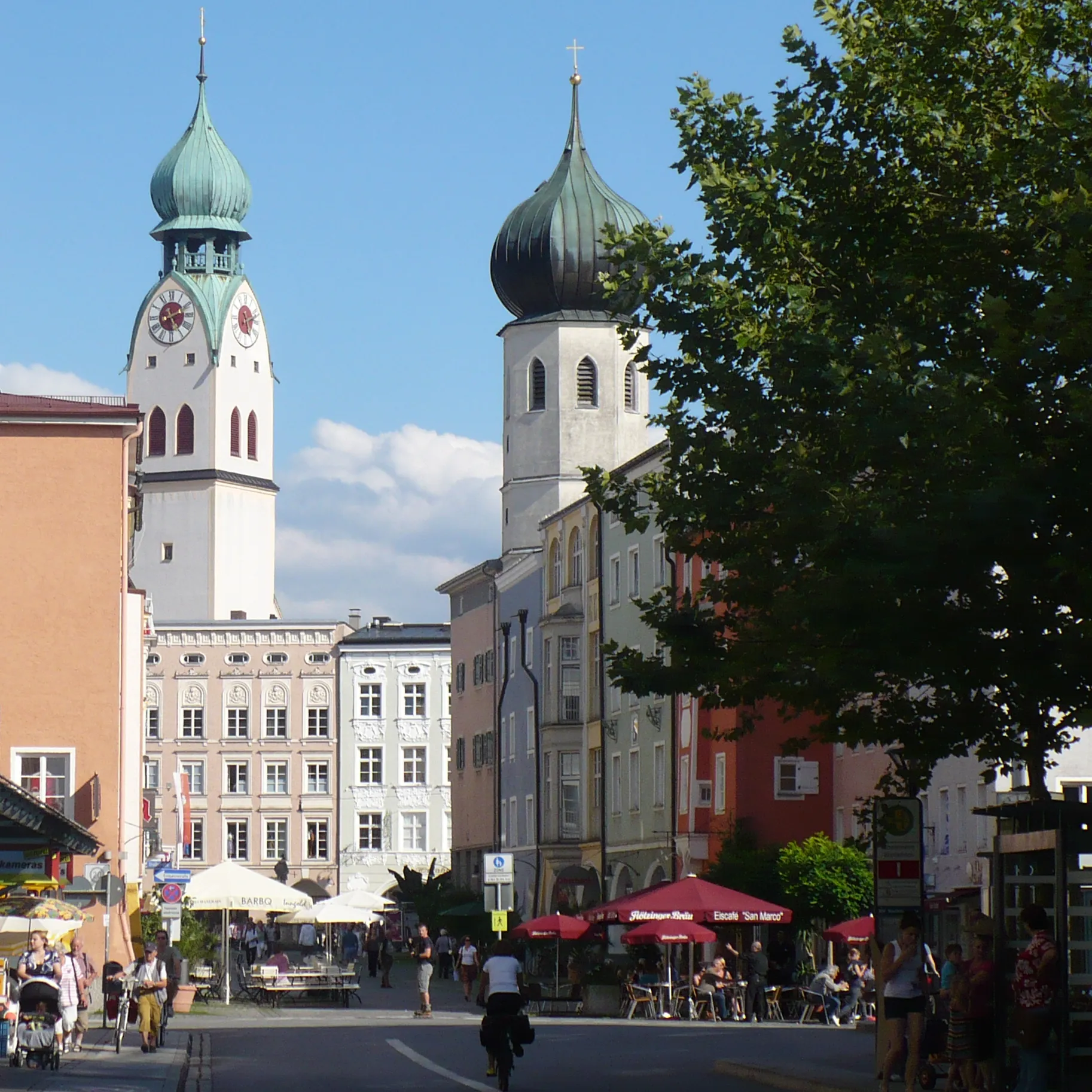
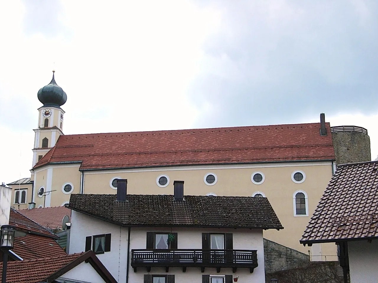
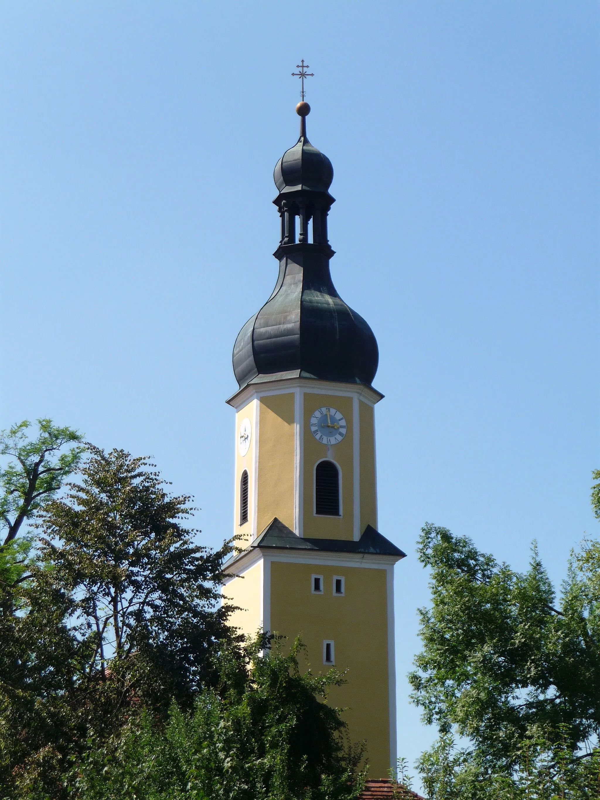
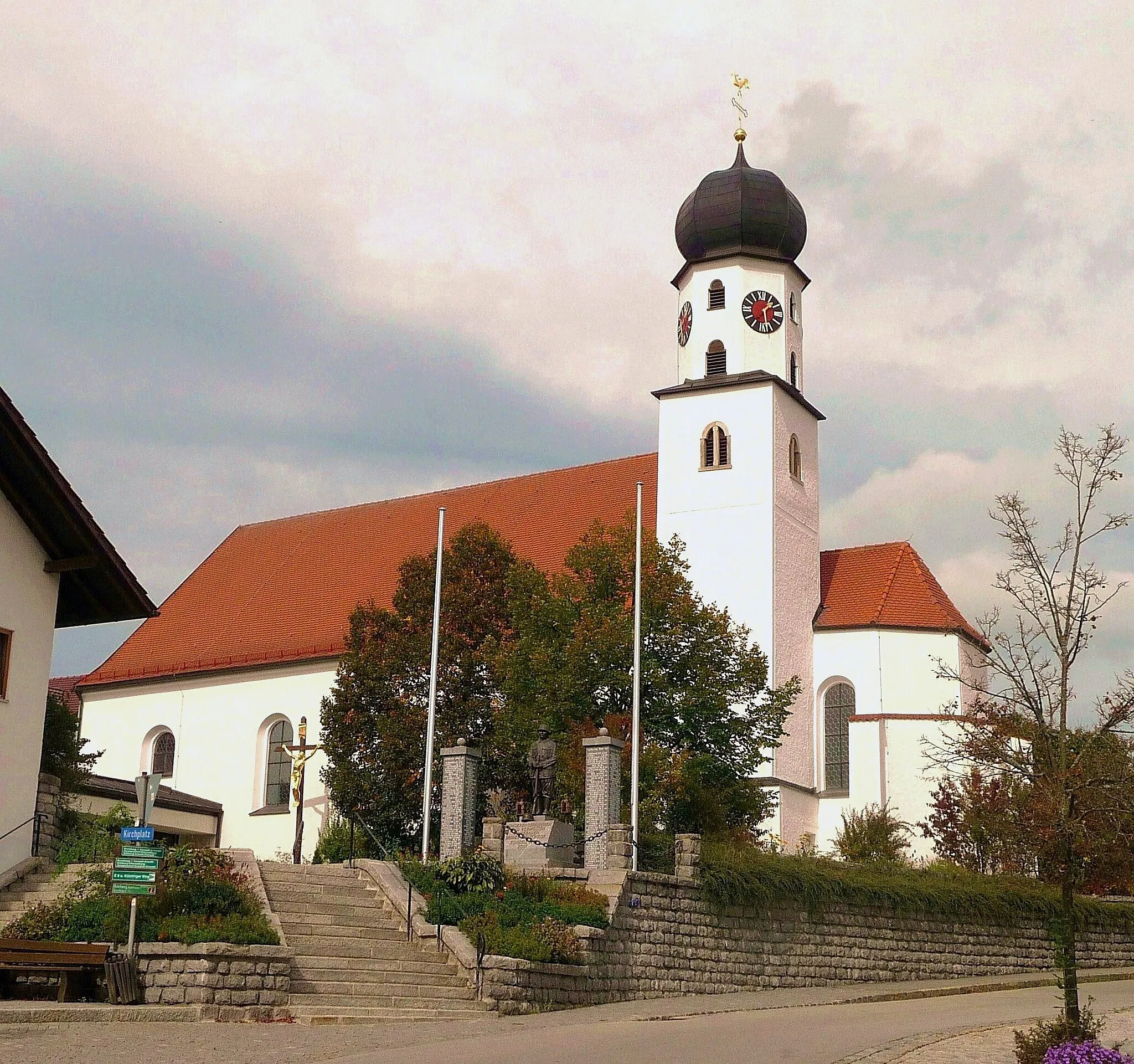
Prackenbach is a locality in Niederbayern, Germany. While not particularly renowned for its cycling-related offerings, Prackenbach provides cyclists with scenic routes through its picturesque countryside. The region has a mix of paved and gravel roads, suitable for both road and gravel cycling. Prackenbach's proximity to the Bavarian Forest National Park makes it a convenient starting point for nature enthusiasts. It offers opportunities for outdoor activities such as hiking and mountain biking. Prackenbach receives a rank of 2 as cycling infrastructure is limited, but the natural beauty compensates for it.
Immerse yourself in the natural beauty of Prackenbach
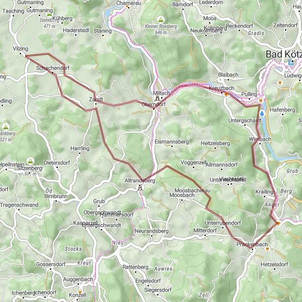
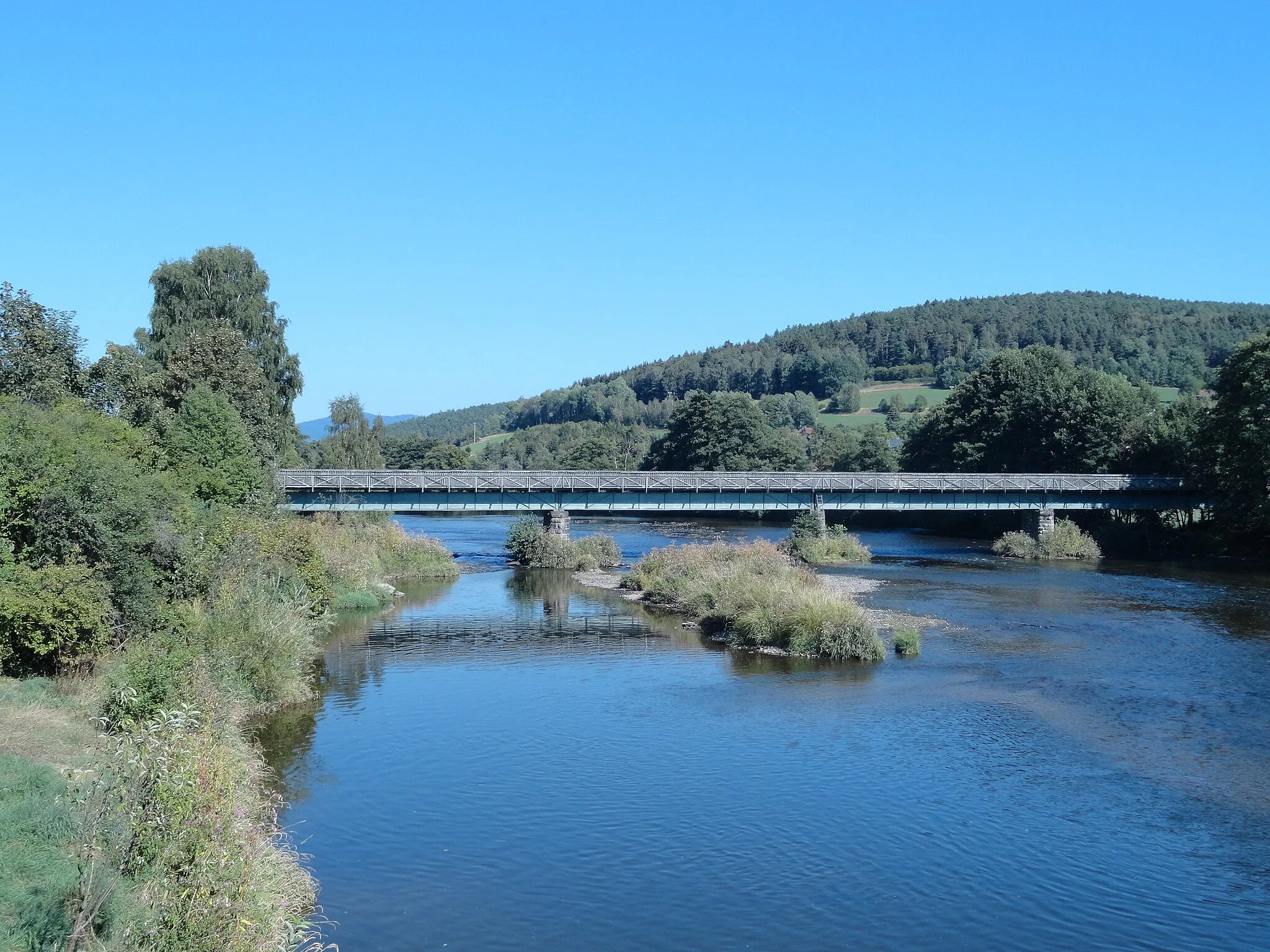
Experience the natural beauty of Prackenbach on this delightful 39-km gravel ride. With an ascent of 566m, this route showcases the charming town of Vilzing and winds through picturesque landscapes. Explore the peaceful Blaibach, where you can enjoy a refreshing break by the scenic river. Fichtental provides a serene escape with its tranquil atmosphere and idyllic scenery.
Gravel Adventure
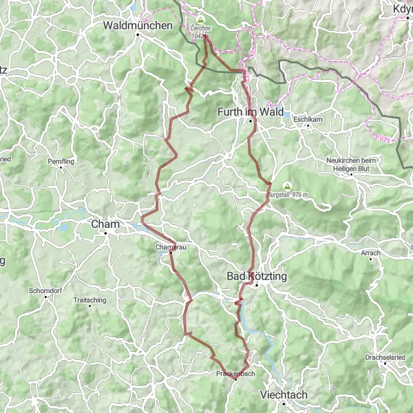
Get off the beaten path on this thrilling 85-kilometer gravel cycling adventure through Chamerau and Furth im Wald.
Experience the thrill of venturing off the beaten path on this 85-kilometer gravel cycling adventure near Prackenbach. With an ascent of 1585 meters, you'll encounter highlights such as Chamerau and Furth im Wald. The difficulty level is set at 4 out of 5, making it suitable for very well-trained amateur cyclists. With an epicness score of 4 out of 5, this route promises to deliver a truly exhilarating off-road experience.
Experience the thrilling Wacht and Himmelberg on this challenging road cycling route near Prackenbach.
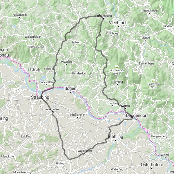
Embark on a thrilling road adventure near Prackenbach with this challenging route. With a total ascent of 1381 meters and a distance of 71 kilometers, you'll encounter stunning highlights such as the Wacht and Himmelberg along the way. The difficulty level is rated at 4 out of 5, making it suitable for very well-trained amateur cyclists. This epic route scores a 4 out of 5 for its breathtaking scenery and exciting challenges.
Embark on a 135-kilometer road cycling adventure and enjoy breathtaking views of Sankt Englmar and Himmelberg.
Experience the panoramic delights near Prackenbach on this 135-kilometer road cycling route. With an ascent of 1471 meters, prepare to be captivated by highlights such as Sankt Englmar and Himmelberg. Rated at a difficulty level of 4 out of 5, this route is suitable for very well-trained amateur cyclists. The epicness score is 4 out of 5, making it a truly remarkable journey with stunning vistas at every turn.

Embark on an epic road journey, where the highlight is Zwiesel lookout
Embark on a challenging road adventure through magical landscapes spanning 93km. Zwiesel lookout stands tall as the ultimate reward, providing breathtaking panoramic views. This route encompasses a rigorous ascent of 1896m, taking you through picturesque towns and serene nature trails.
The Wacht Gravel Ride

A thrilling gravel route with a unique highlight: Wacht
Explore the scenic beauty of Niederbayern on this 42 km gravel route. The highlight of this ride is Wacht, a hidden gem that offers stunning views of the surrounding landscape. Experience a challenging ascent of 985m and immerse yourself in the tranquility of nature.

Conquer the epic Pluto and Weizriegel on this 139-kilometer road cycling adventure near Prackenbach.
Embark on the ultimate road challenge near Prackenbach with this 139-kilometer route. With a challenging ascent of 2831 meters, you'll conquer the epic climbs of Pluto and Weizriegel. The difficulty level is set at 5 out of 5, making it a truly demanding ride even for well-trained amateurs. Rated at an epicness level of 4 out of 5, expect breathtaking views and an unforgettable cycling experience.
Scenic Tour

Embark on a scenic 67-kilometer road cycling tour and discover the beauty of Neukirchen beim Heiligen Blut and Viechtach.
Embark on a scenic road cycling tour near Prackenbach and be captivated by the beauty of Neukirchen beim Heiligen Blut and Viechtach. With an ascent of 1372 meters and a distance of 67 kilometers, this route offers a moderate challenge suitable for experienced amateur cyclists. Rated at an epicness level of 3 out of 5, expect stunning landscapes and picturesque towns along the way.
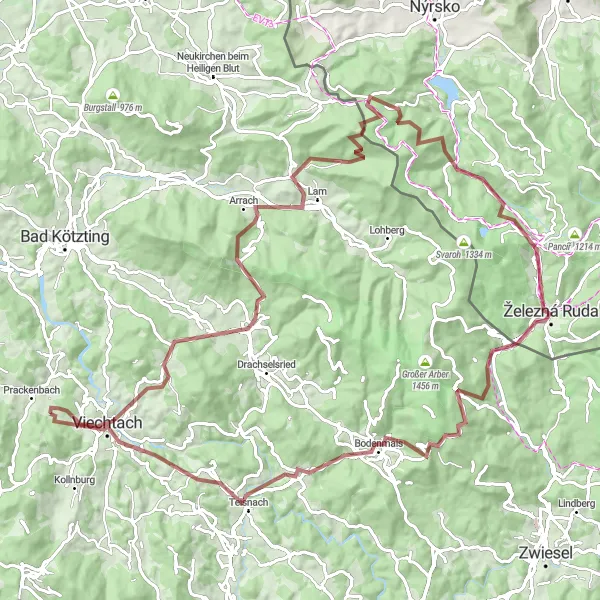
A spectacular gravel trail winding through magnificent trails
Embark on a thrilling 106-km gravel adventure through the scenic splendor of Southern Bavaria. With an ascent of 2912m, this route takes you through hidden gems and stunning vistas. Experience the tranquility of nature in Arnbruck and enjoy panoramic views at Lomničky, a fairy-tale-like village. The route also showcases the mesmerizing beauty of Teisnach and offers thrilling downhill rides in Hamry.
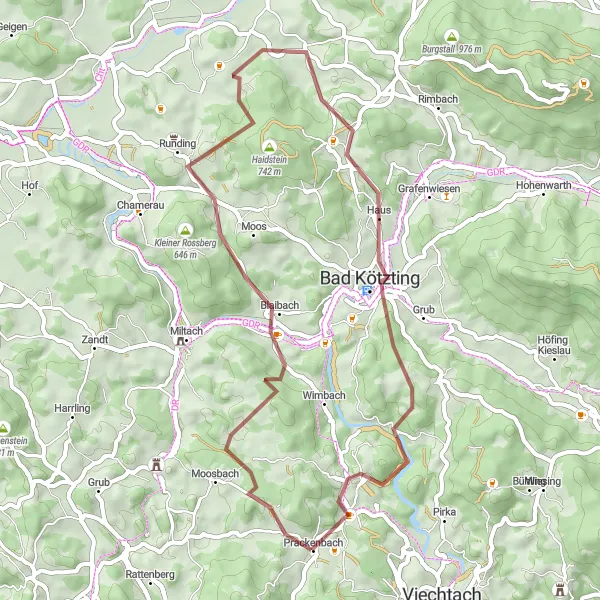
Discover hidden gems en route to Bad Kötzting
Embark on a captivating 48-km gravel journey through picturesque towns and tranquil landscapes leading to Bad Kötzting. With an ascent of 1125m, this route takes you on an unforgettable cycling odyssey. Don't miss the opportunity to visit Blaibach, home to a stunning castle and rich historical heritage. The Aussichtsplatzform lookout offers sweeping views over the Bavarian Forest National Park.
Cycling routes nearby:


Nearby regions: