The Escapade of Southern Bavarian Gravel
A gravel cycling route starting from Prackenbach
A spectacular gravel trail winding through magnificent trails
Map
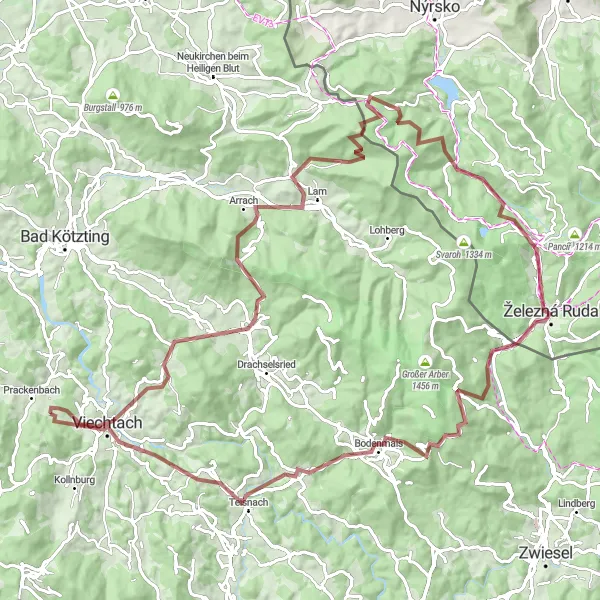
Embark on a thrilling 106-km gravel adventure through the scenic splendor of Southern Bavaria. With an ascent of 2912m, this route takes you through hidden gems and stunning vistas. Experience the tranquility of nature in Arnbruck and enjoy panoramic views at Lomničky, a fairy-tale-like village. The route also showcases the mesmerizing beauty of Teisnach and offers thrilling downhill rides in Hamry.
gravel
106 km
2912 m
Tough
Route profile
Highlights on the route
0 km
0 km
Start: Hetzelsdorf Village centerPrackenbach: Immerse yourself in the tranquility of Prackenbach's countryside on your cycling adventure.
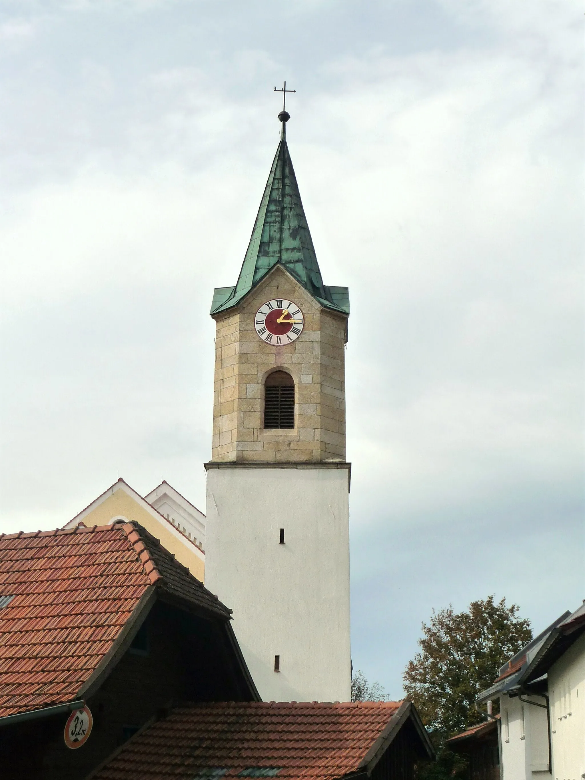
Prackenbach is a locality in Niederbayern, Germany. While not particularly renowned for its cycling-related offerings, Prackenbach provides cyclists with scenic routes through its picturesque countryside. The region has a mix of paved and gravel roads, suitable for both road and gravel cycling. Prackenbach's proximity to the Bavarian Forest National Park makes it a convenient starting point for nature enthusiasts. It offers opportunities for outdoor activities such as hiking and mountain biking. Prackenbach receives a rank of 2 as cycling infrastructure is limited, but the natural beauty compensates for it.3 km
3 km
Wacht507 mPeakWacht features quaint cottages and idyllic scenery ideal for photography enthusiasts.
16 km
16 km
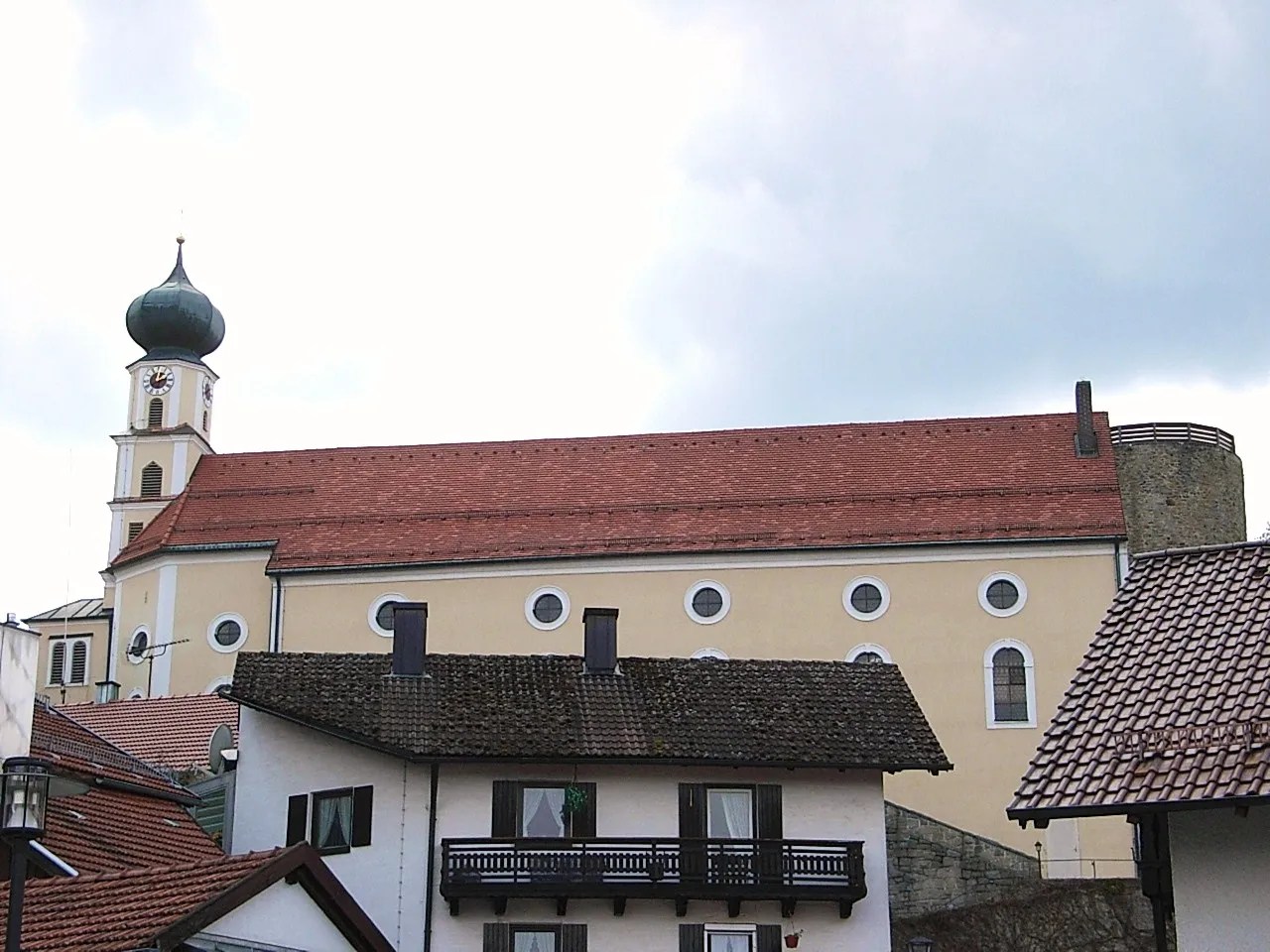
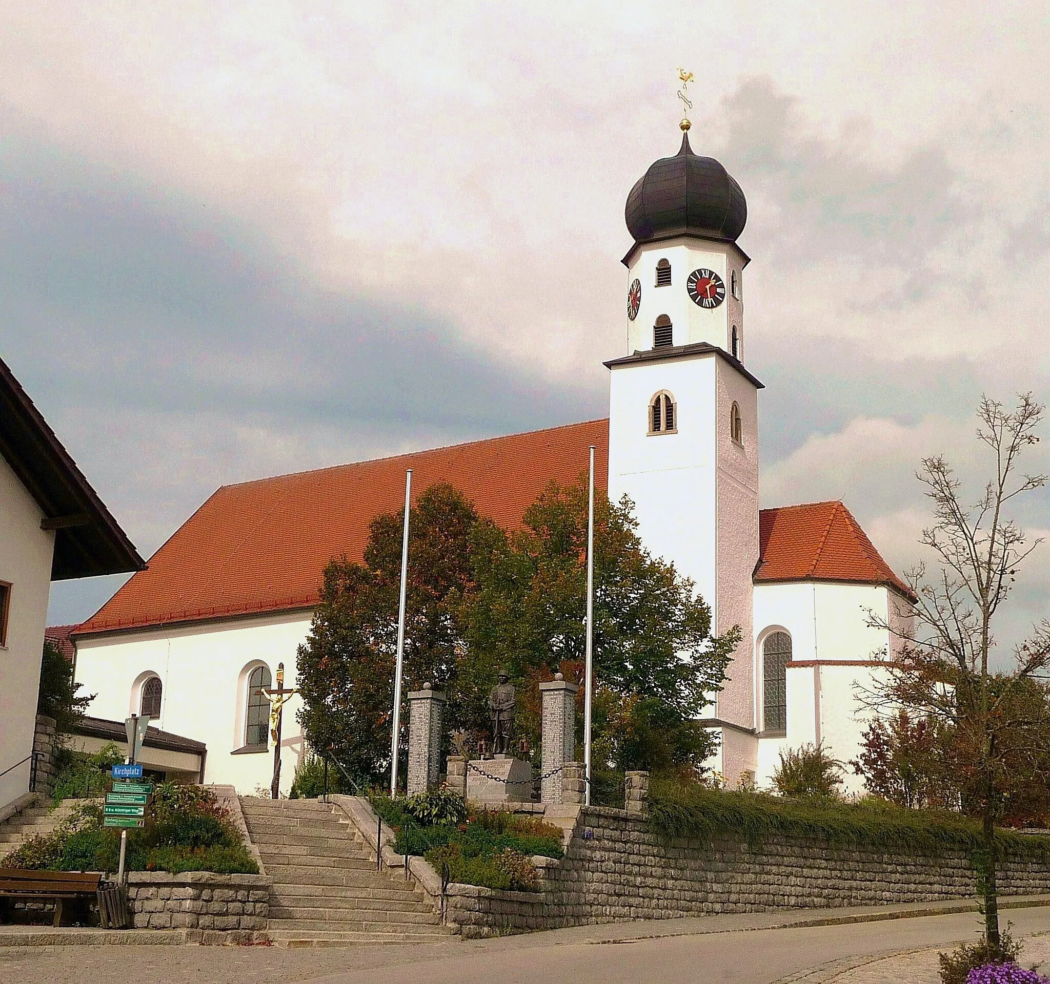
ArnbruckVillageArnbruck is a tranquil village nestled amidst lush green meadows and breathtaking mountain vistas.
25 km
25 km
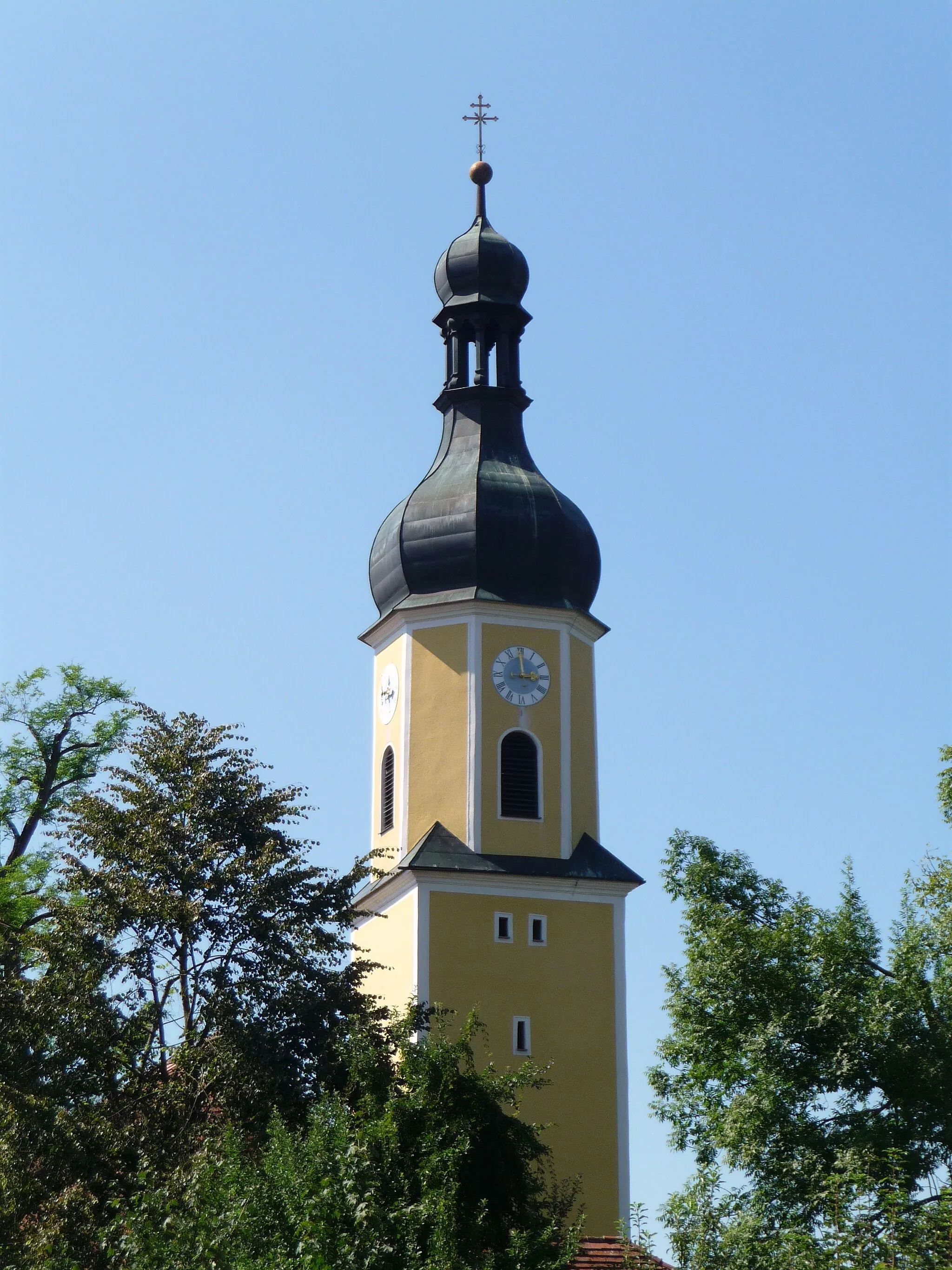
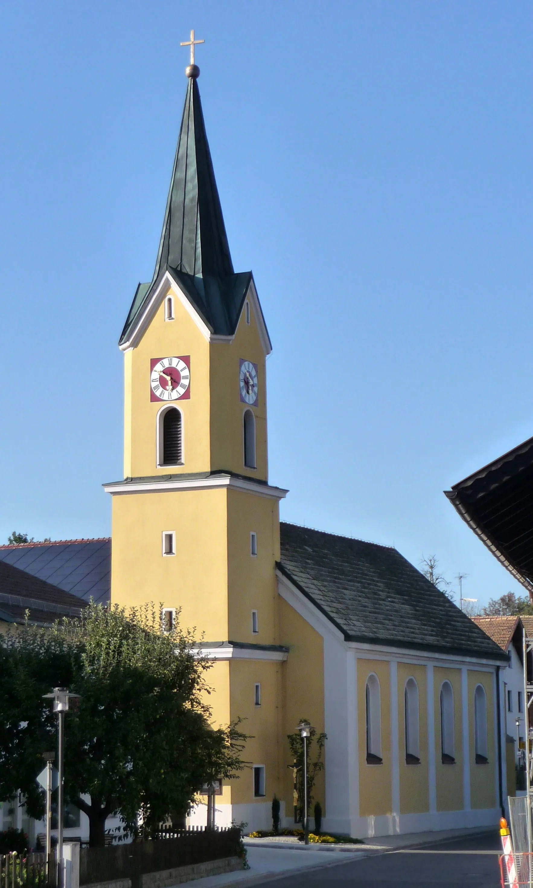
ArrachVillageArrach is a hidden gem known for its pristine landscapes, charming streets, and lively festivals.
39 km
39 km
Lomničky1027 mPeakLomničky is a fairy-tale-like village surrounded by picturesque meadows, offering memorable photo opportunities.
50 km
50 km
HamryVillageHamry holds a special charm with its enchanting forests and exhilarating downhill trails.
58 km
58 km
Špičácké sedlo975 mMountain PassŠpičácké sedlo is a famous landmark featuring panoramic views over Southern Bavaria and the Bohemian Forest.
65 km
65 km
Bayerisch EisensteinVillageBayerisch Eisenstein serves as a gateway to the majestic Bavarian Forest National Park, where nature reigns supreme.
75 km
75 km
Hahnenriegel1108 mPeakHahnenriegel offers plenty of opportunities for scenic hikes and breathtaking views of the surrounding Bavarian countryside.
85 km
85 km
Sternknöckel818 mPeakSternknöckel is a hidden gem with stunning views and secluded cycling trails.
91 km
91 km
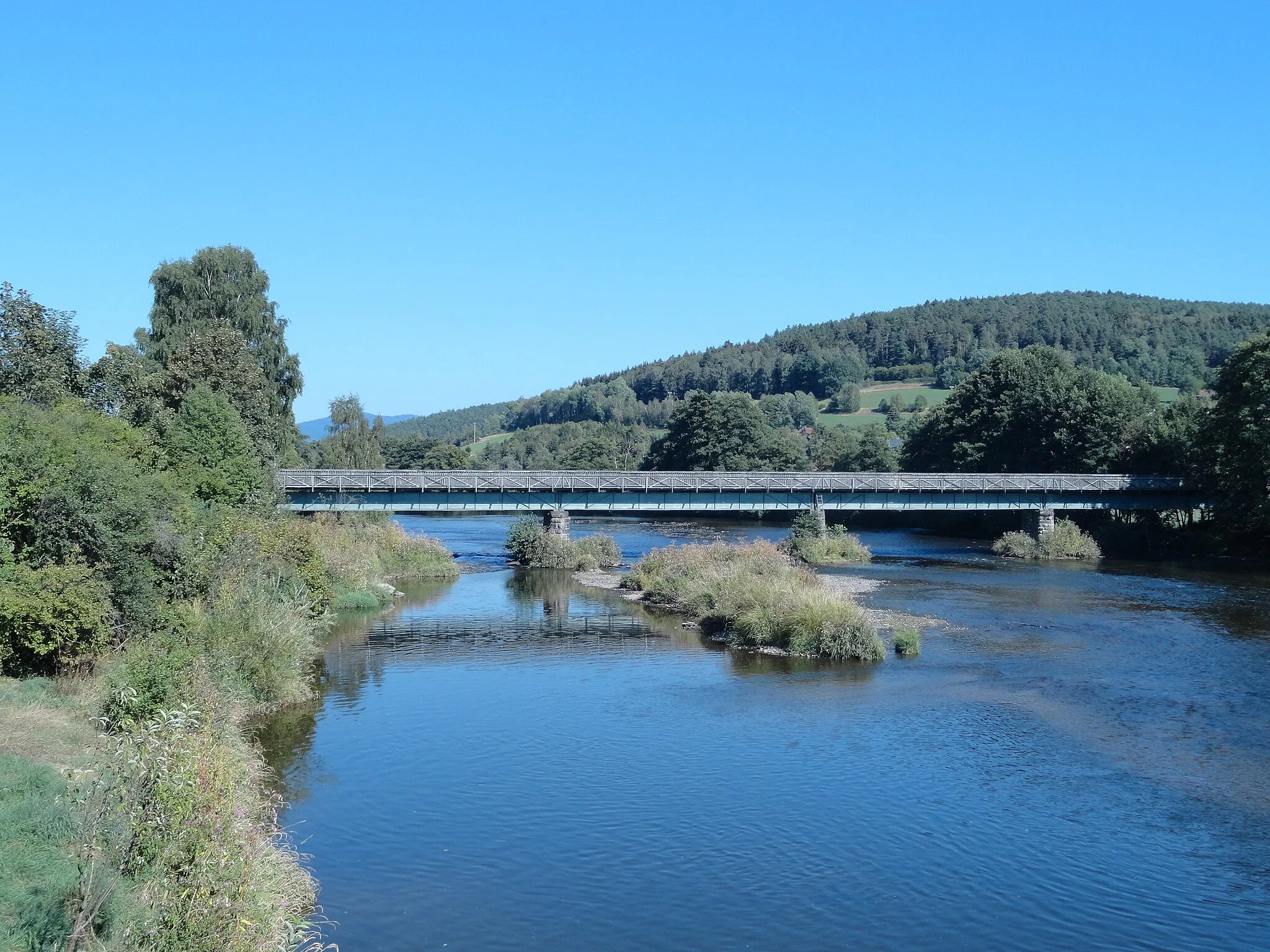
TeisnachVillageTeisnach is a picturesque town nestled amidst forests and is a fantastic spot for a leisurely break.
101 km
101 km
ViechtachTownViechtach is a vibrant town located by the river Vils, offering numerous cultural and historical attractions.
106 km
106 km
Finish: Hetzelsdorf Village centerPrackenbach: Immerse yourself in the tranquility of Prackenbach's countryside on your cycling adventure.
Cycling routes nearby: