The Wacht Gravel Ride
A gravel cycling route starting from Prackenbach
A thrilling gravel route with a unique highlight: Wacht
Map

Explore the scenic beauty of Niederbayern on this 42 km gravel route. The highlight of this ride is Wacht, a hidden gem that offers stunning views of the surrounding landscape. Experience a challenging ascent of 985m and immerse yourself in the tranquility of nature.
gravel
42 km
985 m
Tough
Route profile
Highlights on the route
0 km
0 km
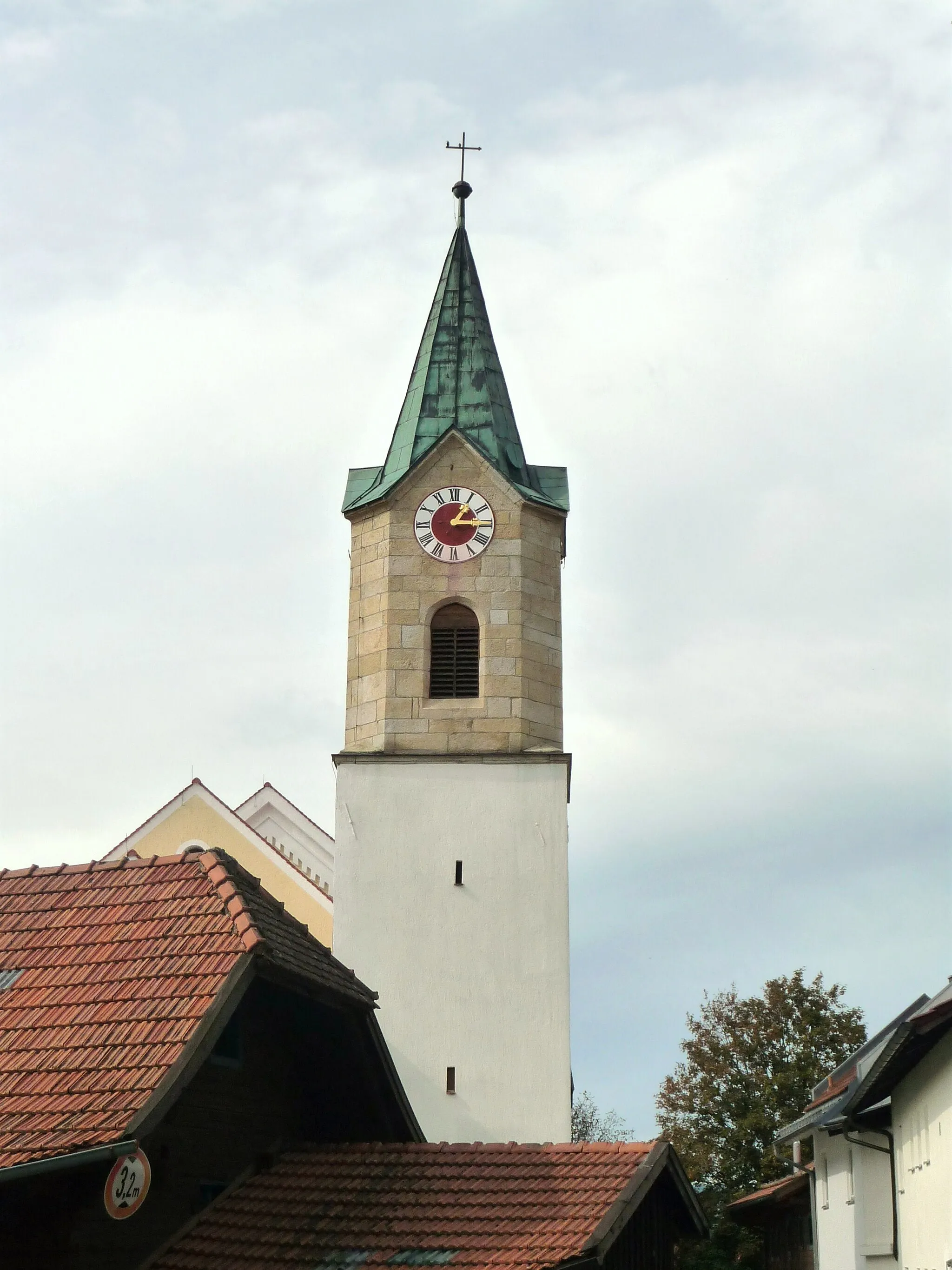
Start: Prackenbach Village centerPrackenbach: Immerse yourself in the tranquility of Prackenbach's countryside on your cycling adventure.
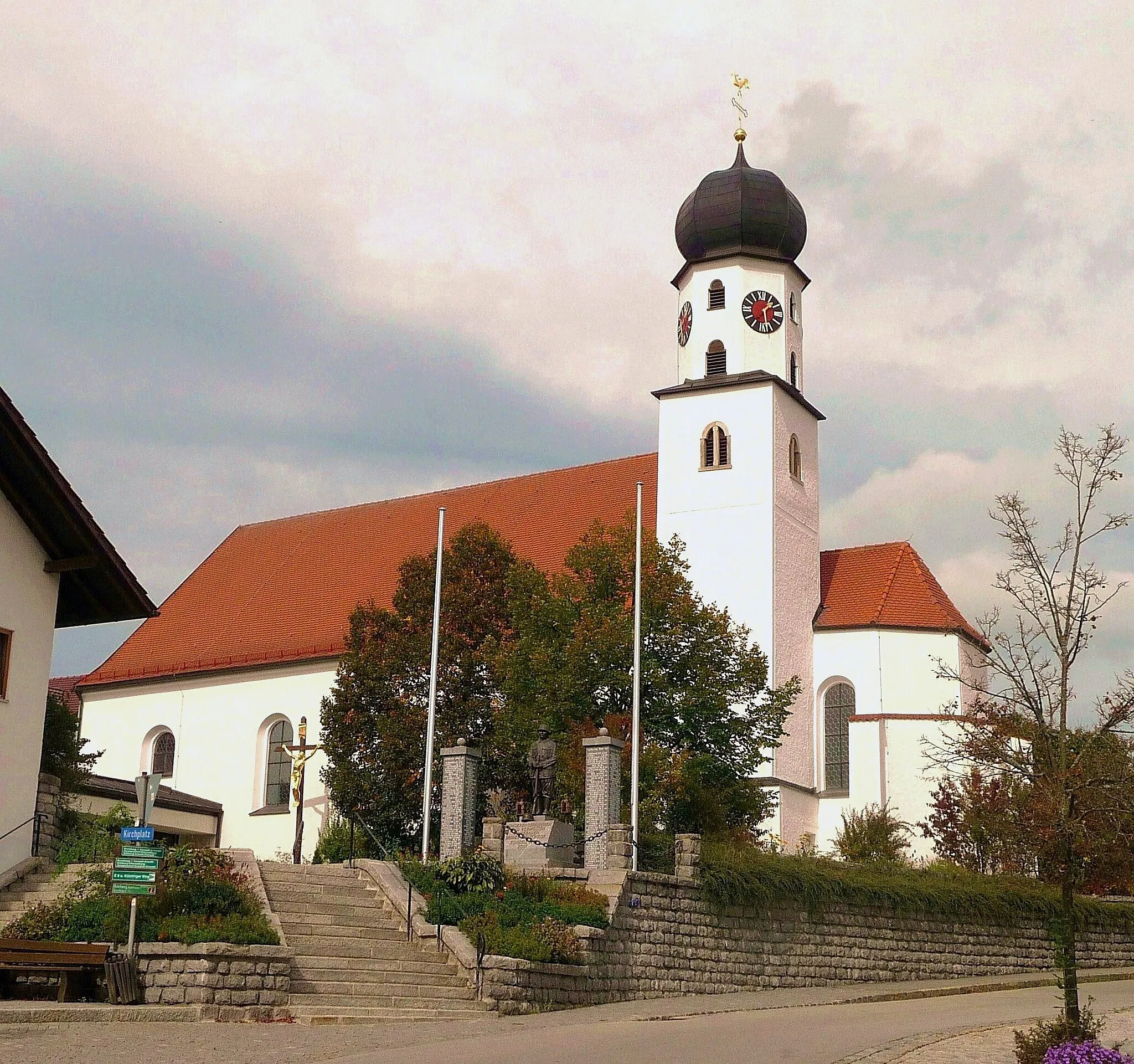
Prackenbach is a locality in Niederbayern, Germany. While not particularly renowned for its cycling-related offerings, Prackenbach provides cyclists with scenic routes through its picturesque countryside. The region has a mix of paved and gravel roads, suitable for both road and gravel cycling. Prackenbach's proximity to the Bavarian Forest National Park makes it a convenient starting point for nature enthusiasts. It offers opportunities for outdoor activities such as hiking and mountain biking. Prackenbach receives a rank of 2 as cycling infrastructure is limited, but the natural beauty compensates for it.3 km
3 km
Wacht507 mPeakWacht offers breathtaking views of the surrounding landscape.
4 km
4 km
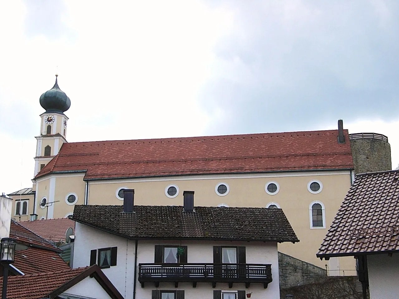
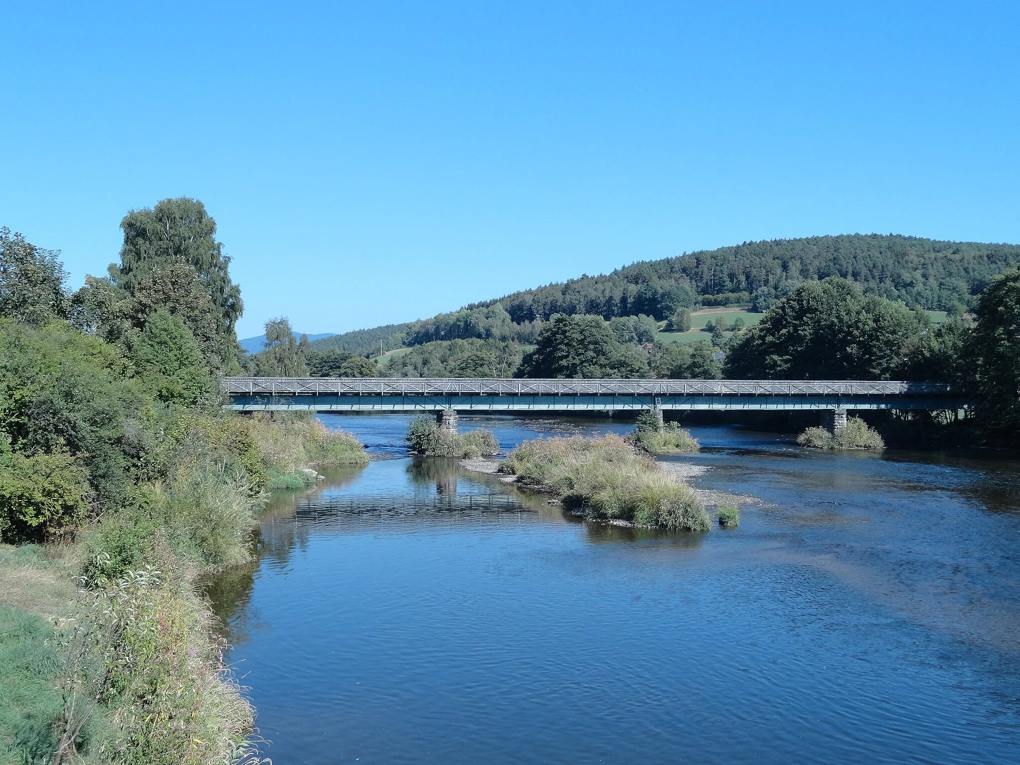
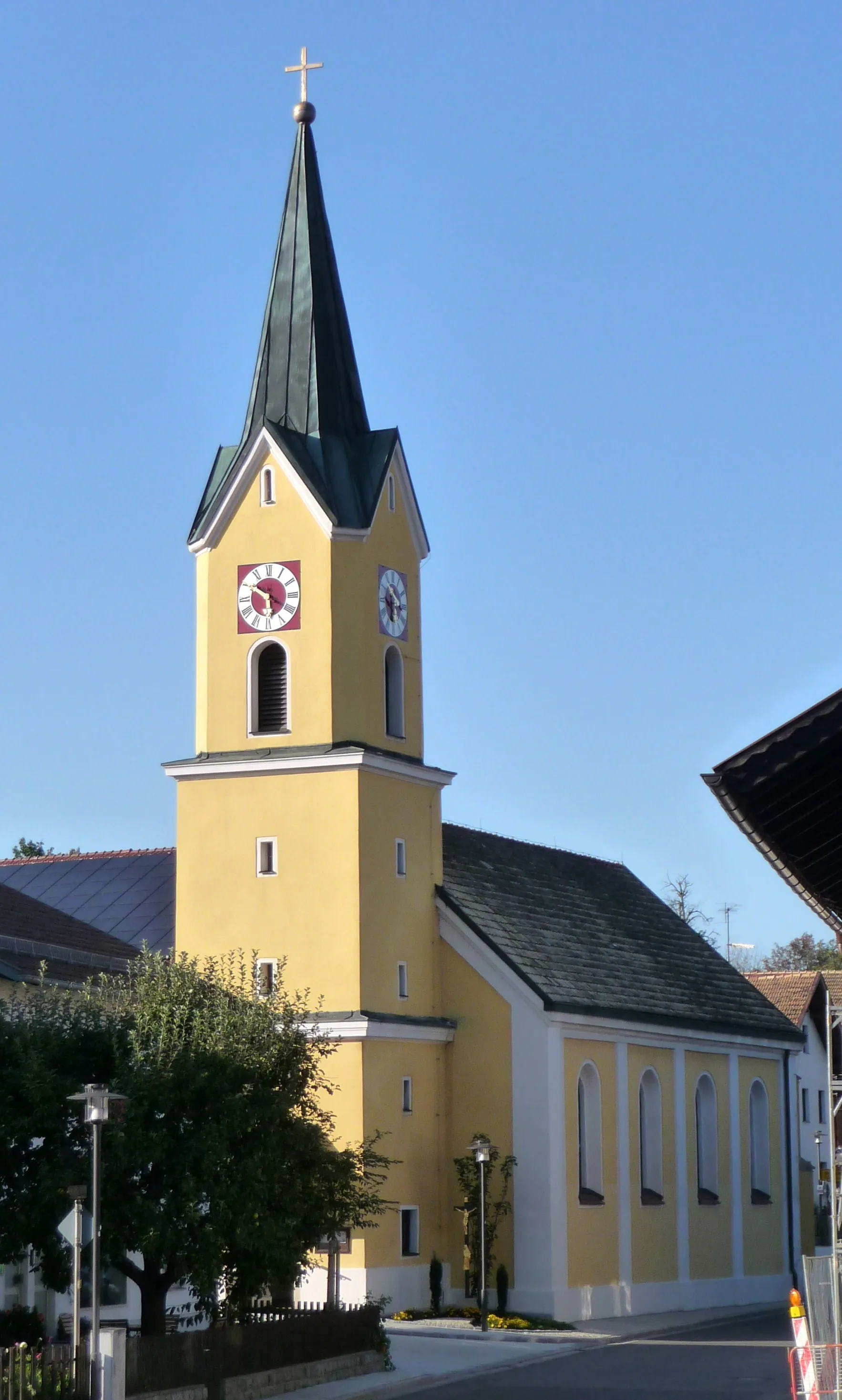
ViechtachTownViechtach is a charming town worth exploring along the route.
10 km
10 km
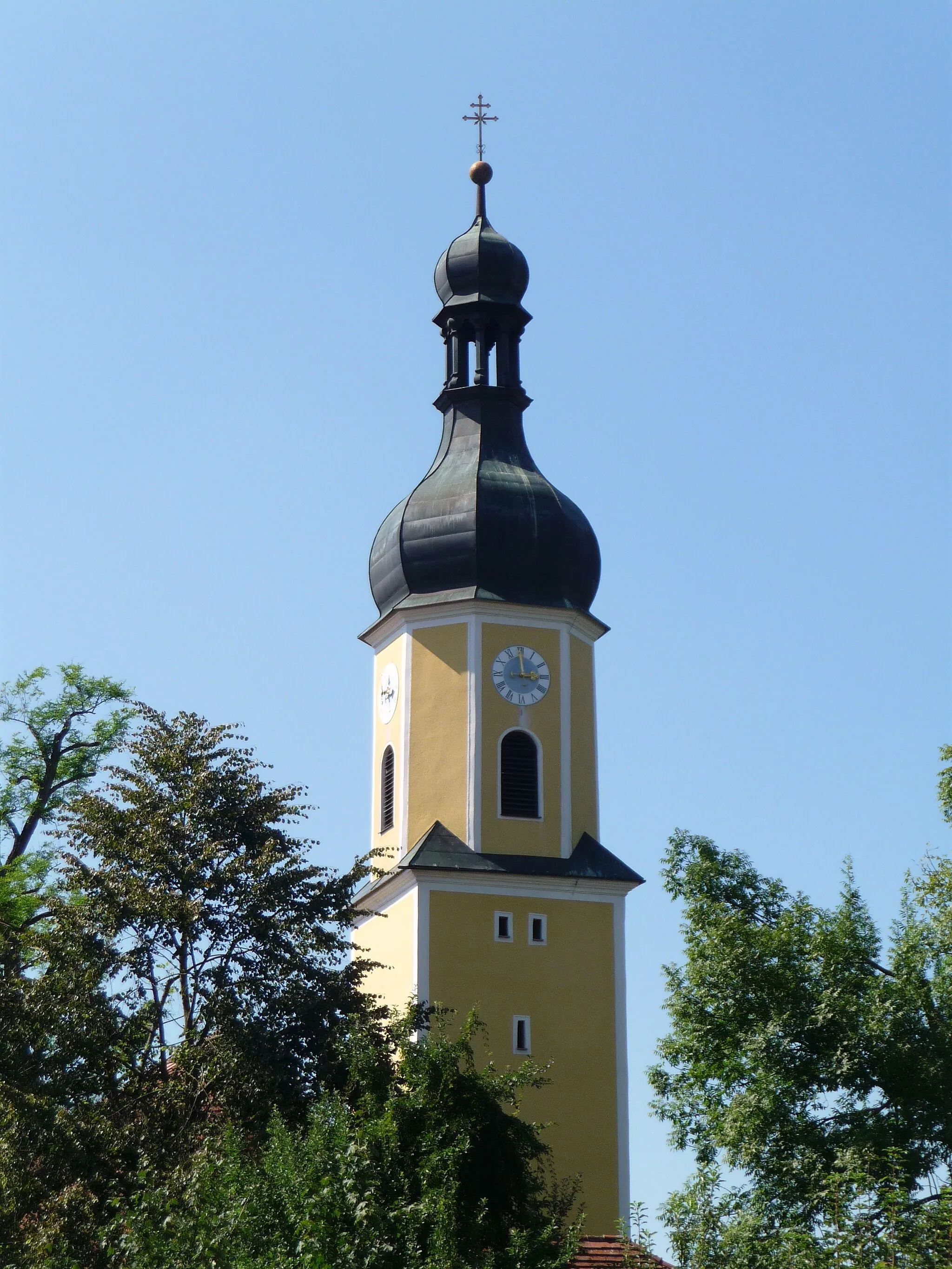
KirchaitnachVillageKirchaitnach is a quaint village with traditional Bavarian architecture.
22 km
22 km
Hirschenstein1095 mPeakHirschenstein is a lesser-known highlight offering secluded trails.
29 km
29 km
Sankt EnglmarVillageSankt Englmar is a picturesque mountain village with stunning views.
34 km
34 km
Käsplatte978 mPeakKäsplatte is a must-stop for panoramic views and delicious local cheese offerings.
41 km
41 km
ObermühleHamletObermühle is a historic mill with a fascinating backstory and beautiful surroundings.
42 km
42 km
Finish: Prackenbach Village centerPrackenbach: Immerse yourself in the tranquility of Prackenbach's countryside on your cycling adventure.
Cycling routes nearby: