The Zwiesel Road Adventure
A road cycling route starting from Prackenbach
Embark on an epic road journey, where the highlight is Zwiesel lookout
Map

Embark on a challenging road adventure through magical landscapes spanning 93km. Zwiesel lookout stands tall as the ultimate reward, providing breathtaking panoramic views. This route encompasses a rigorous ascent of 1896m, taking you through picturesque towns and serene nature trails.
road
93 km
1896 m
Tough
Route profile
Highlights on the route
0 km
0 km
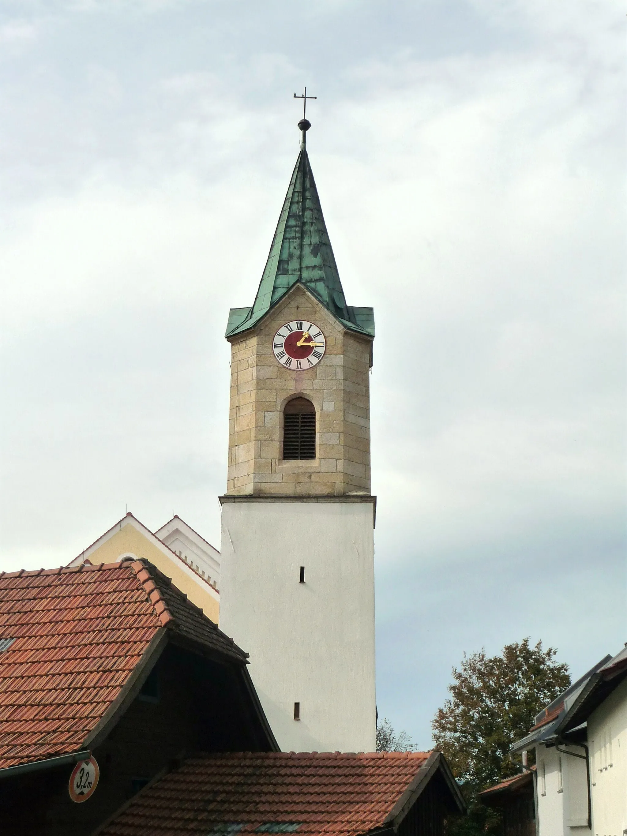
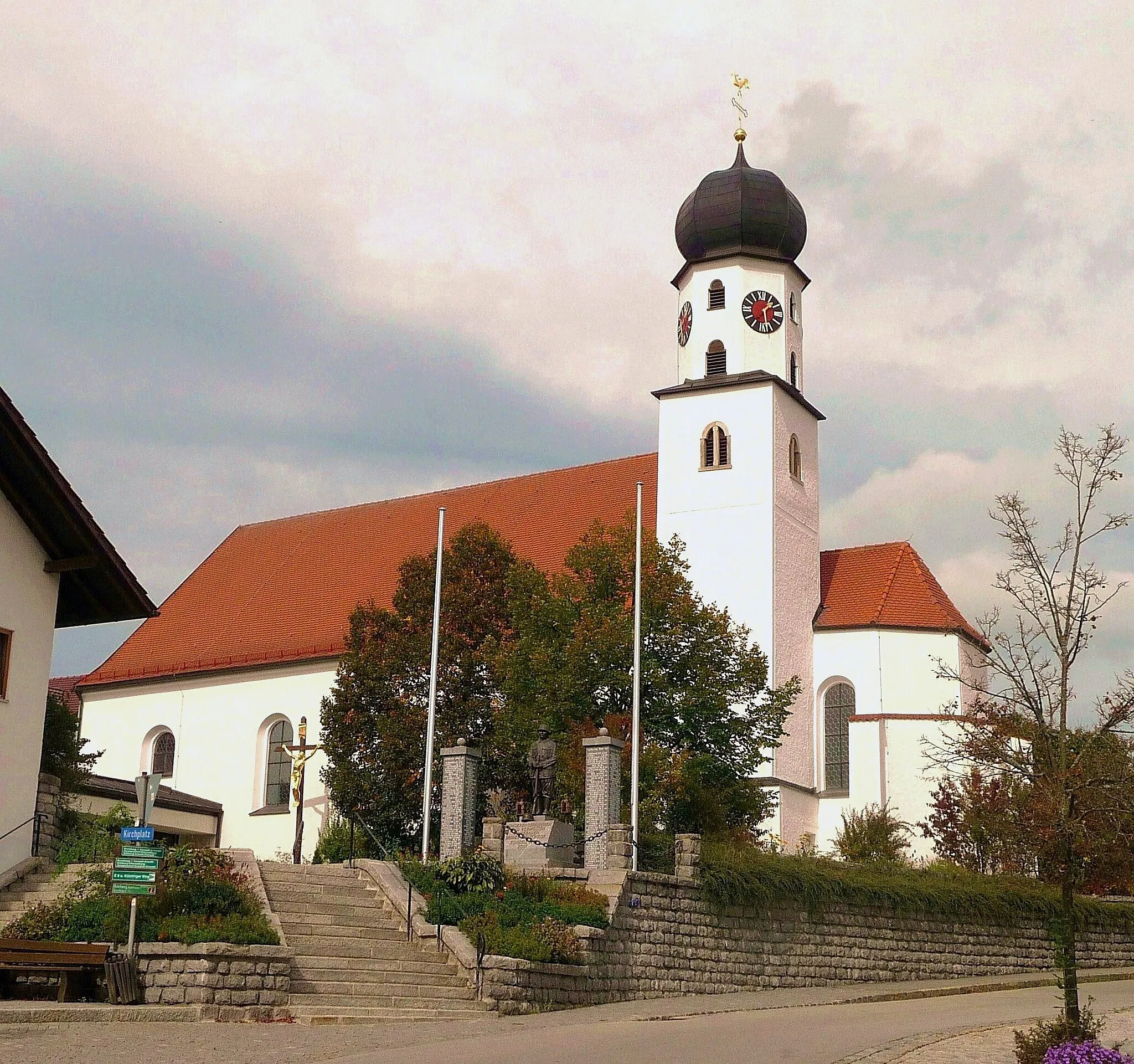
Start: Prackenbach Village centerPrackenbach: Immerse yourself in the tranquility of Prackenbach's countryside on your cycling adventure.
Prackenbach is a locality in Niederbayern, Germany. While not particularly renowned for its cycling-related offerings, Prackenbach provides cyclists with scenic routes through its picturesque countryside. The region has a mix of paved and gravel roads, suitable for both road and gravel cycling. Prackenbach's proximity to the Bavarian Forest National Park makes it a convenient starting point for nature enthusiasts. It offers opportunities for outdoor activities such as hiking and mountain biking. Prackenbach receives a rank of 2 as cycling infrastructure is limited, but the natural beauty compensates for it.11 km
11 km
PlutoViewpointPluto is a small village with a rich history and charming streets.
32 km
32 km
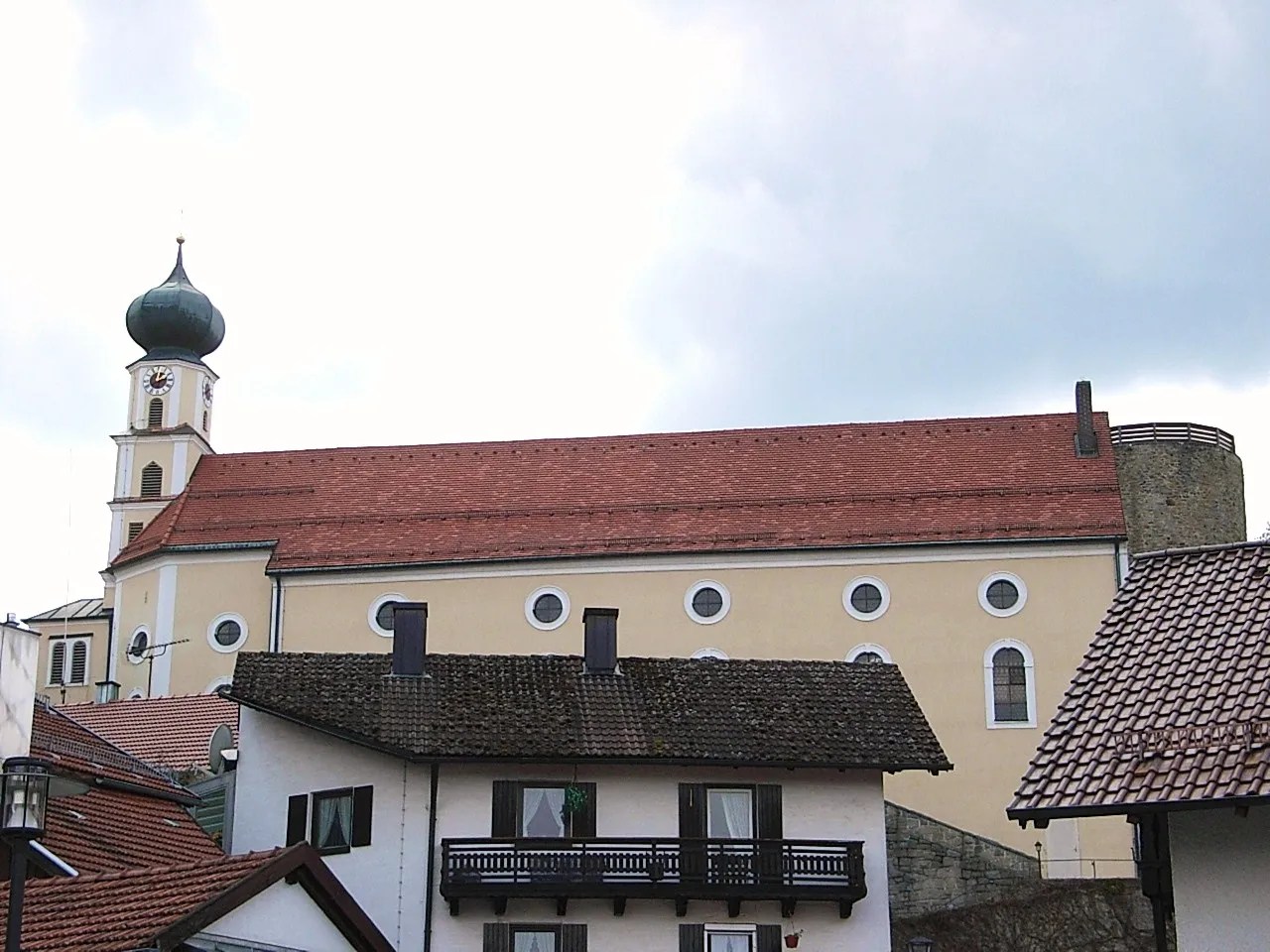
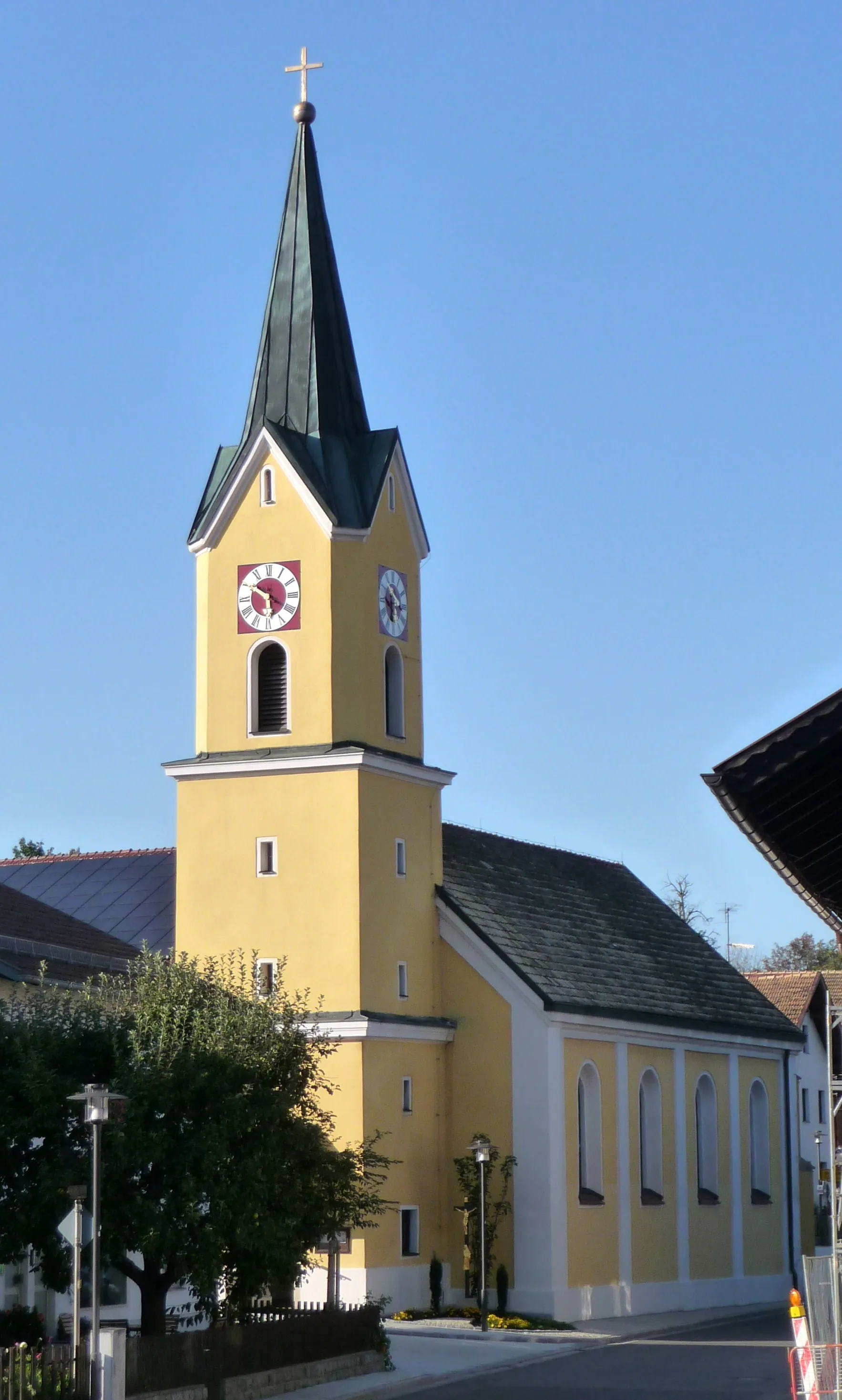
BodenmaisVillageBodenmais is a delightful town known for its traditional glassmaking craftsmanship and vibrant culture.
46 km
46 km
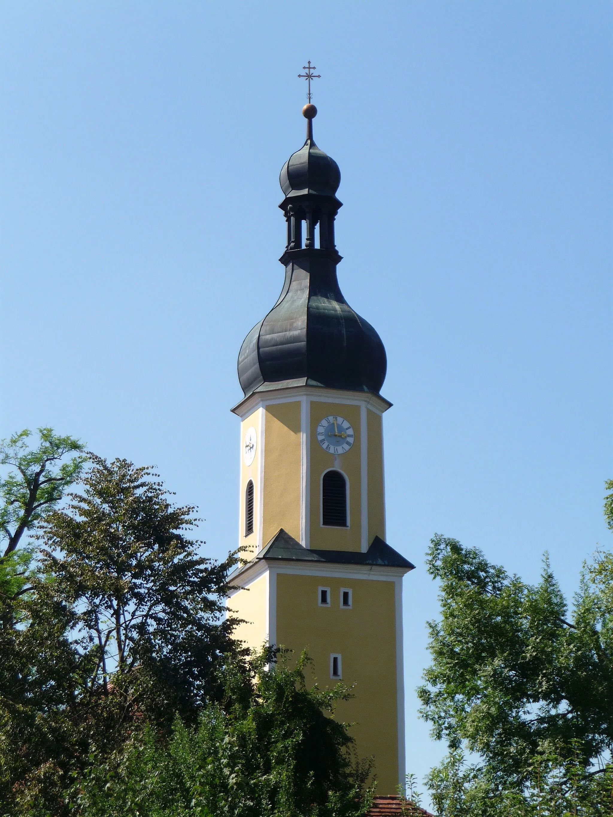
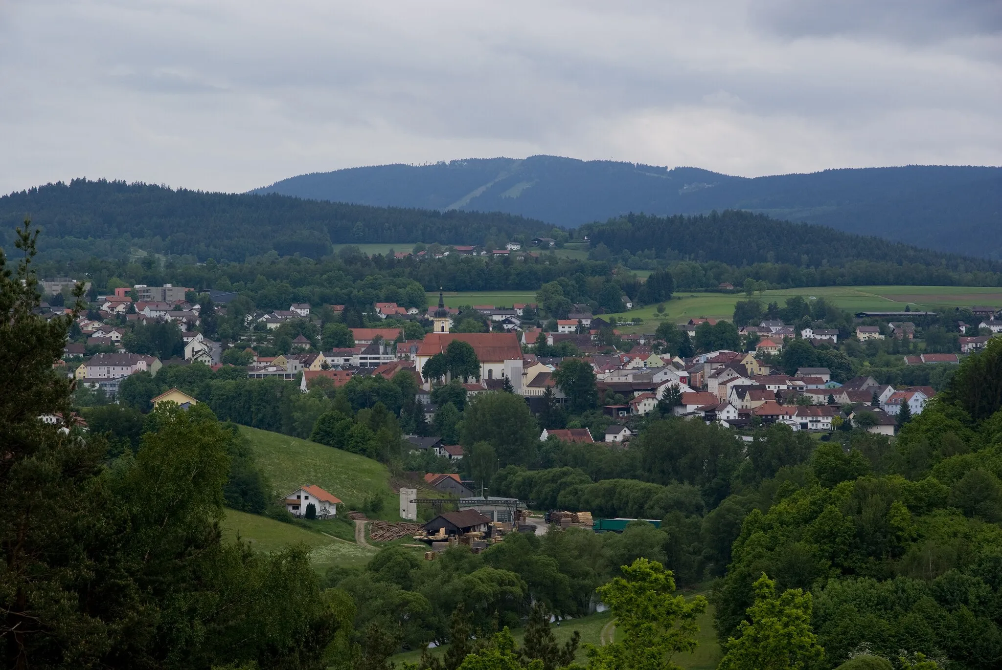
ZwieselTownZwiesel is famous for its picturesque beauty and the mesmerizing landscapes that surround it.
48 km
48 km
Ausblick ZwieselViewpointThe Ausblick Zwiesel viewpoint offers unobstructed panoramic views of the Bavarian forest.
57 km
57 km
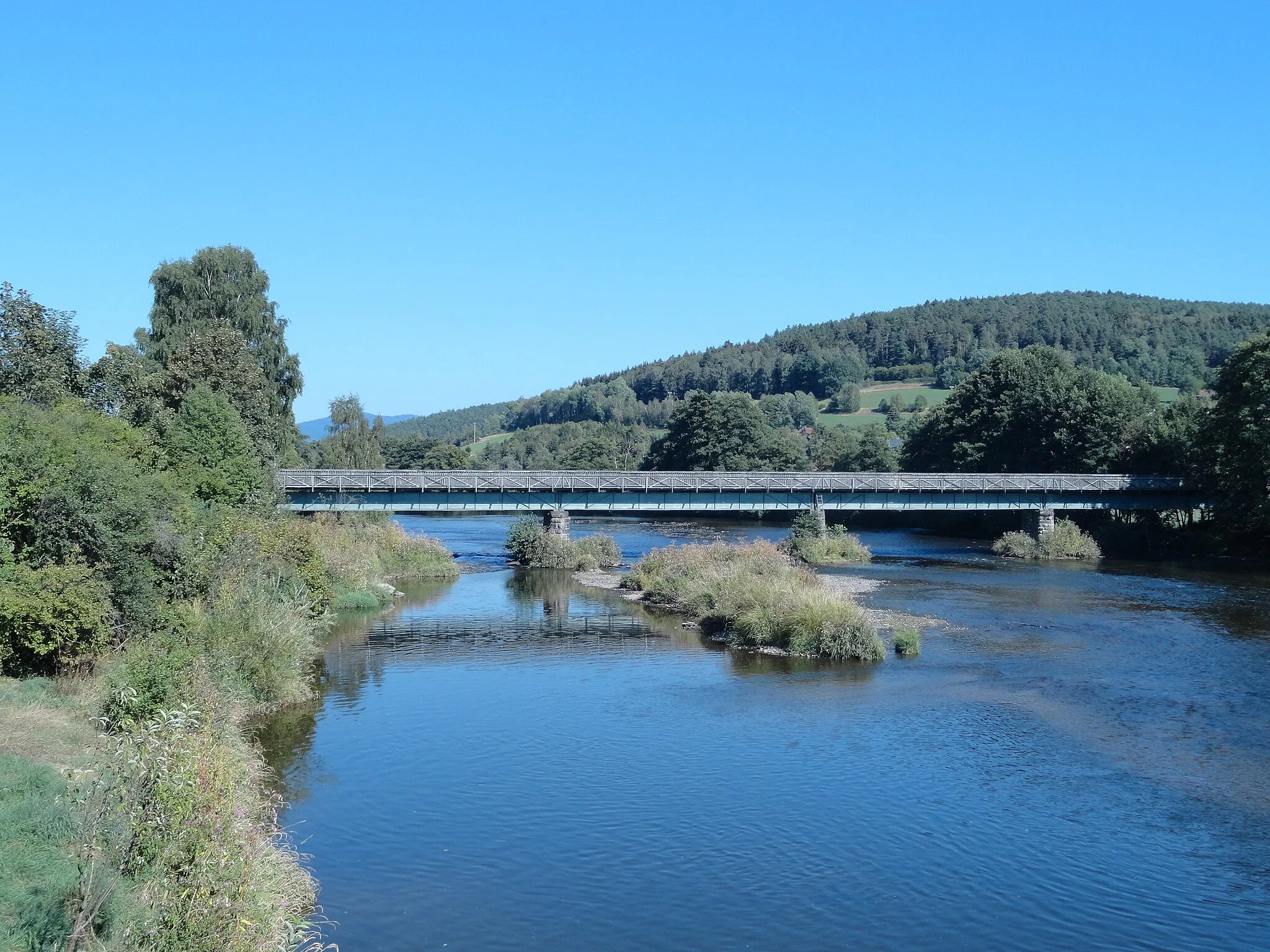
RegenTownRegen is a historic town renowned for its well-preserved medieval architecture and tranquil ambiance.
68 km
68 km
Buchberg687 mPeakBuchberg is an enchanting hill offering panoramic views and a haven for nature enthusiasts.
77 km
77 km
Spitzberg810 mPeakSpitzberg rewards riders with stunning vistas and unique flora.
83 km
83 km
KirchaitnachVillageKirchaitnach is a picturesque village with its charming pastel-colored houses and scenic surroundings.
90 km
90 km
Distelberg641 mPeakDistelberg features picturesque winding roads and idyllic landscapes.
92 km
92 km
HetzelsdorfVillageHetzelsdorf boasts untouched natural beauty and rustic charm that will leave you breathless.
93 km
93 km
Finish: Prackenbach Village centerPrackenbach: Immerse yourself in the tranquility of Prackenbach's countryside on your cycling adventure.
Cycling routes nearby: