Explore the Beauty of Rimbach
A road cycling route starting from Niederviehbach
Immerse yourself in the natural beauty of Rimbach and its surroundings.
Map
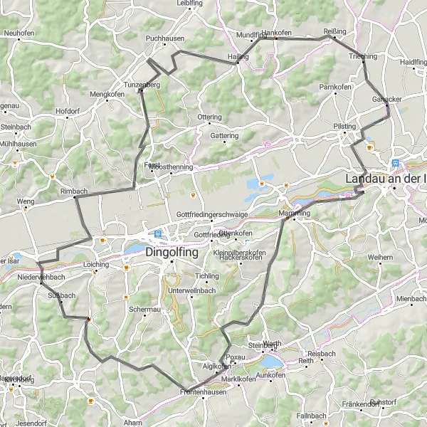
Discover the captivating landscapes of Rimbach and its neighboring areas on this road cycling route. With a total ascent of 814m and a distance of 90km, this route offers a moderate challenge for cyclists of all skill levels.
road
90 km
814 m
Tough
Route profile
Highlights on the route
0 km
0 km
Start: Niederviehbach Village centerNiederviehbach: Serene cycling routes amidst rolling countryside
Niederviehbach is a peaceful locality located in the Niederbayern region of Germany. As a road and gravel cyclist, Niederviehbach offers serene cycling routes through picturesque landscapes. The region is known for its rolling hills and countryside views, providing cyclists with a mix of relaxing rides and more challenging ascents. One popular spot for cyclists in the area is the Wallersdorf Hill, which offers a challenging climb and rewarding vistas from the top. With its peaceful surroundings and cyclist-friendly atmosphere, Niederviehbach is an ideal destination for cyclists seeking tranquility and natural beauty.8 km
8 km
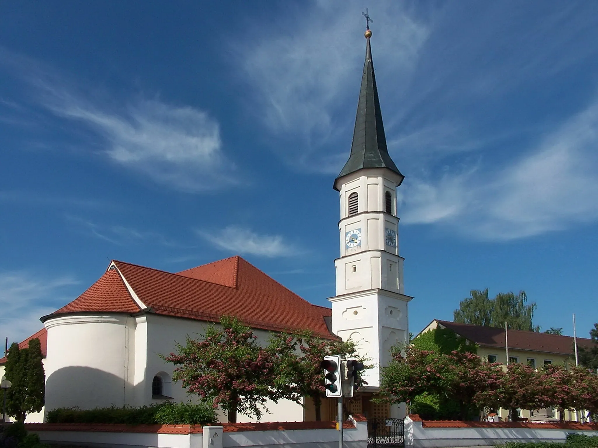
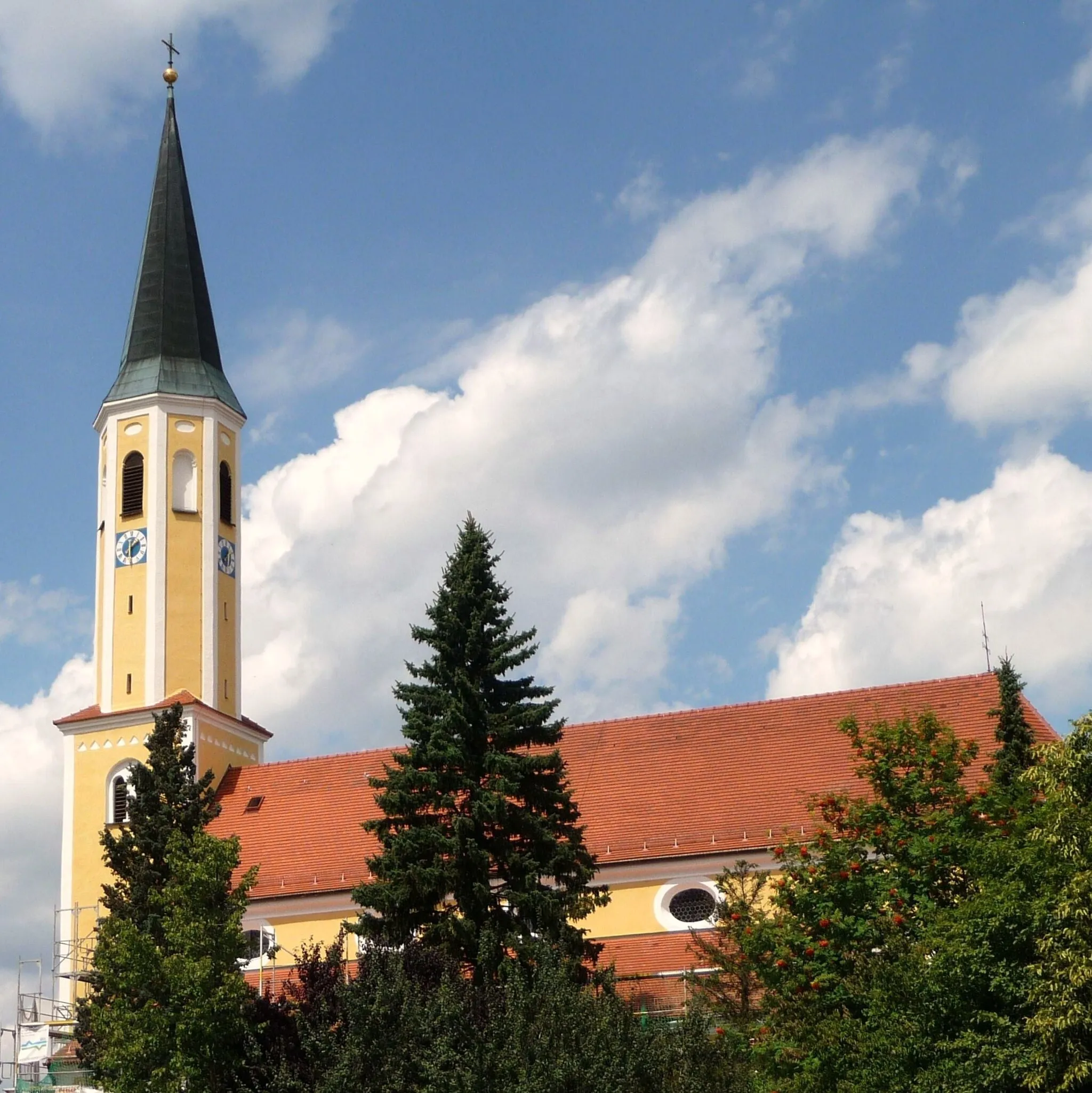
RimbachVillageBegin your journey in Rimbach, a quaint village surrounded by lush green fields. Admire the traditional Bavarian houses and enjoy the peaceful atmosphere of this charming area.
20 km
20 km
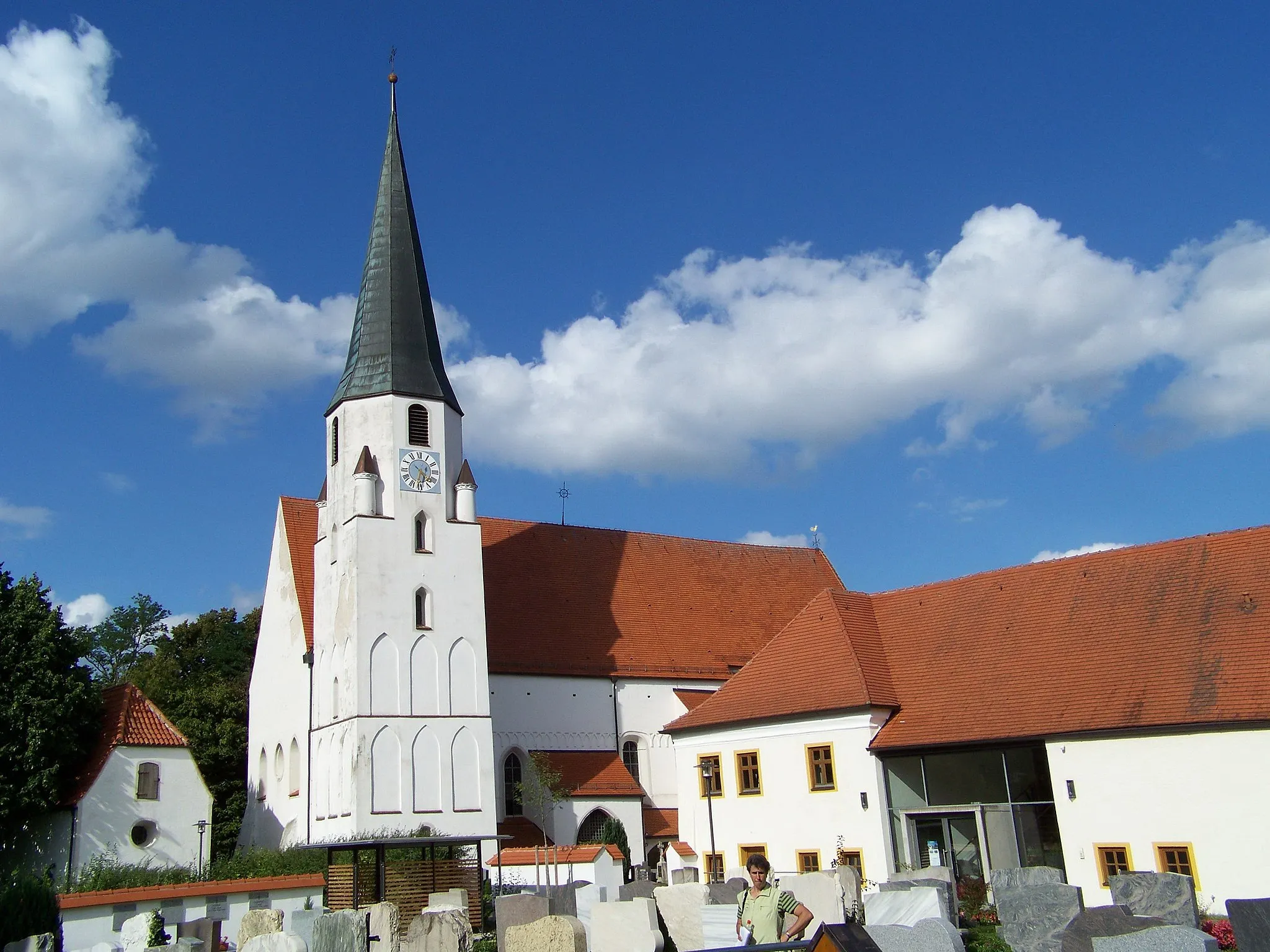
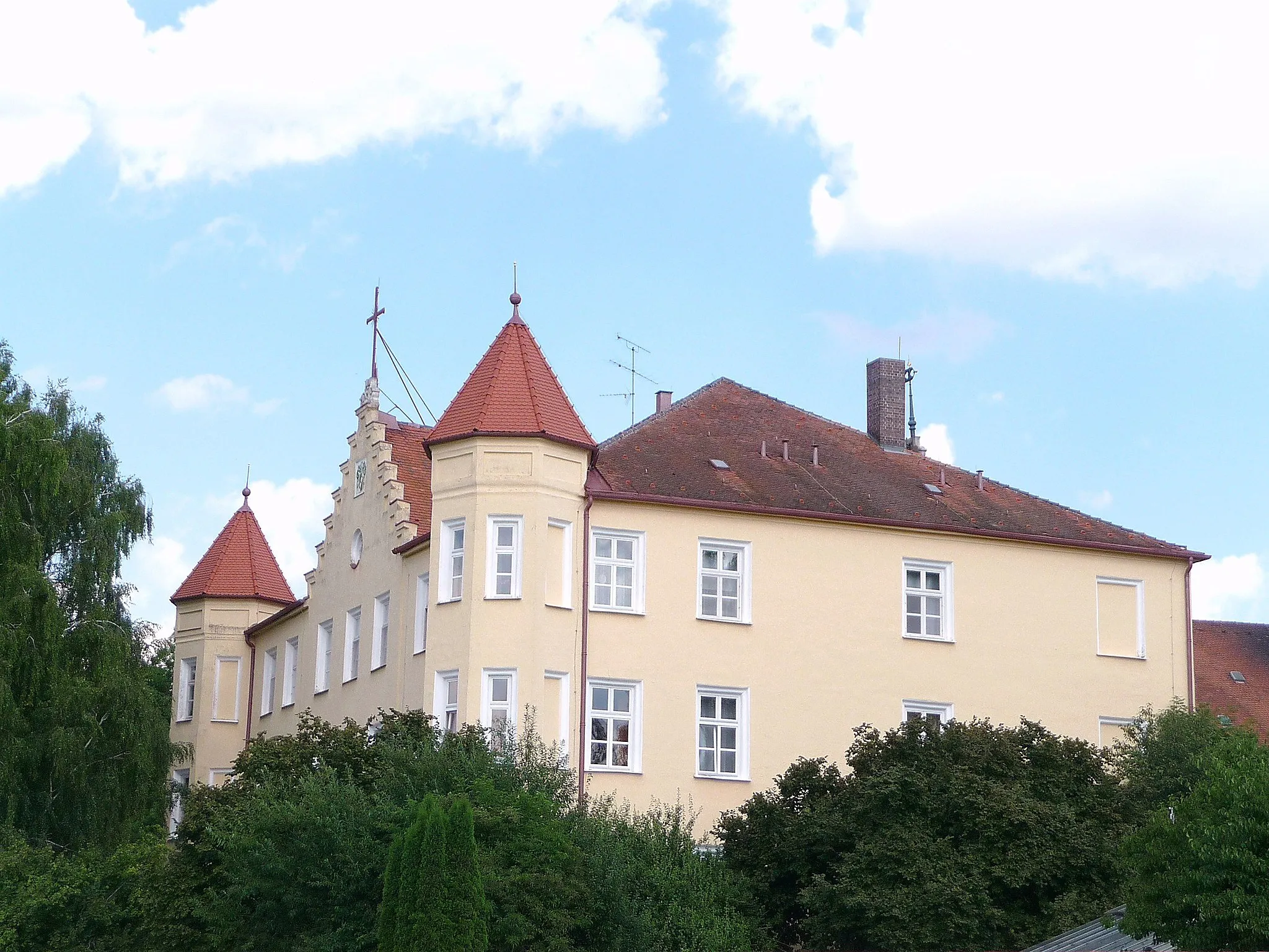
Schloss TunzenbergCastleVisit Schloss Tunzenberg, a picturesque castle nestled amidst beautiful gardens. Explore the palace grounds and learn about its fascinating history.
44 km
44 km
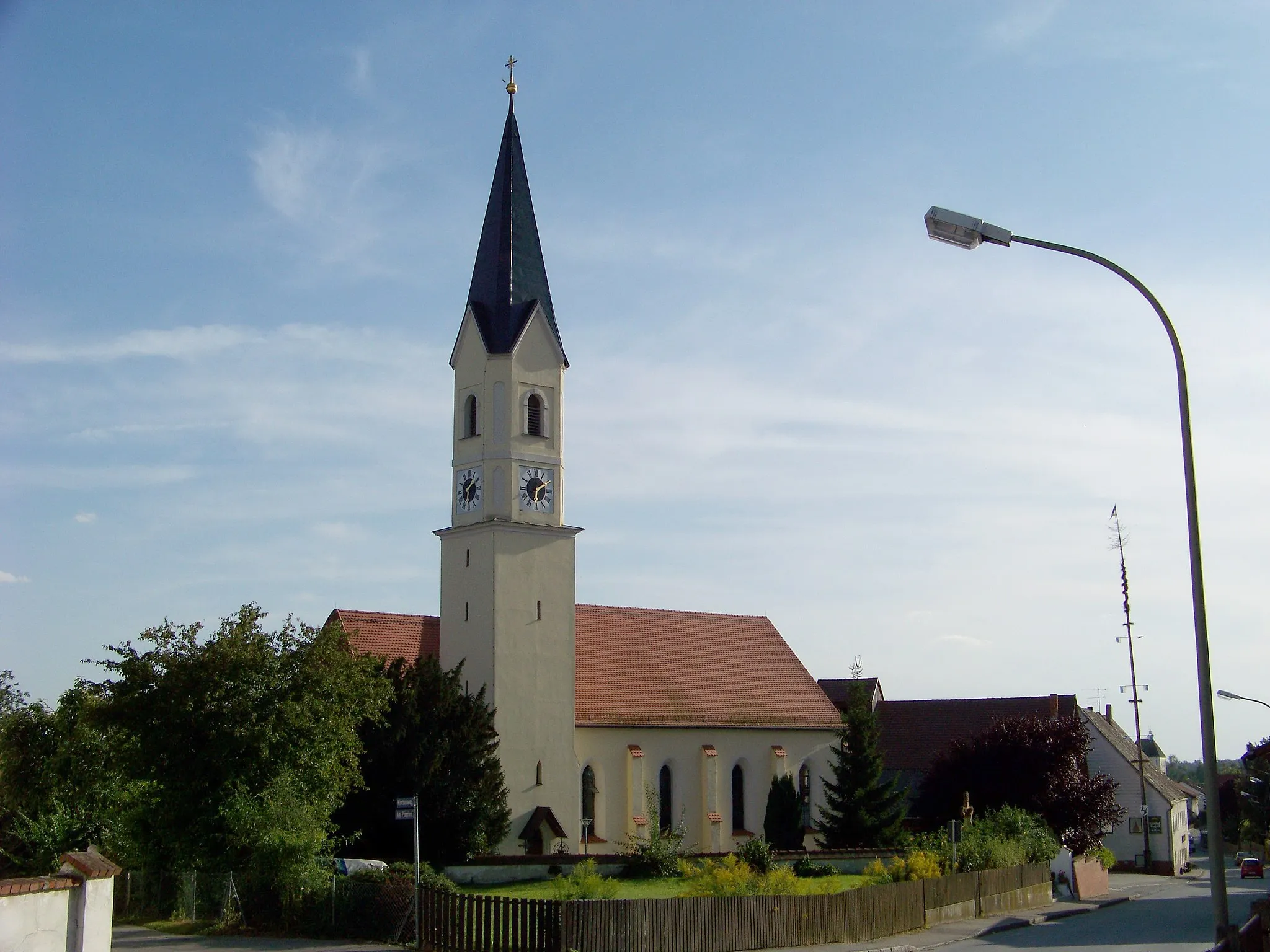
GanackerVillageMake a stop in Ganacker, a scenic rural village known for its traditional farming practices. Interact with the friendly locals and learn about their way of life.
55 km
55 km
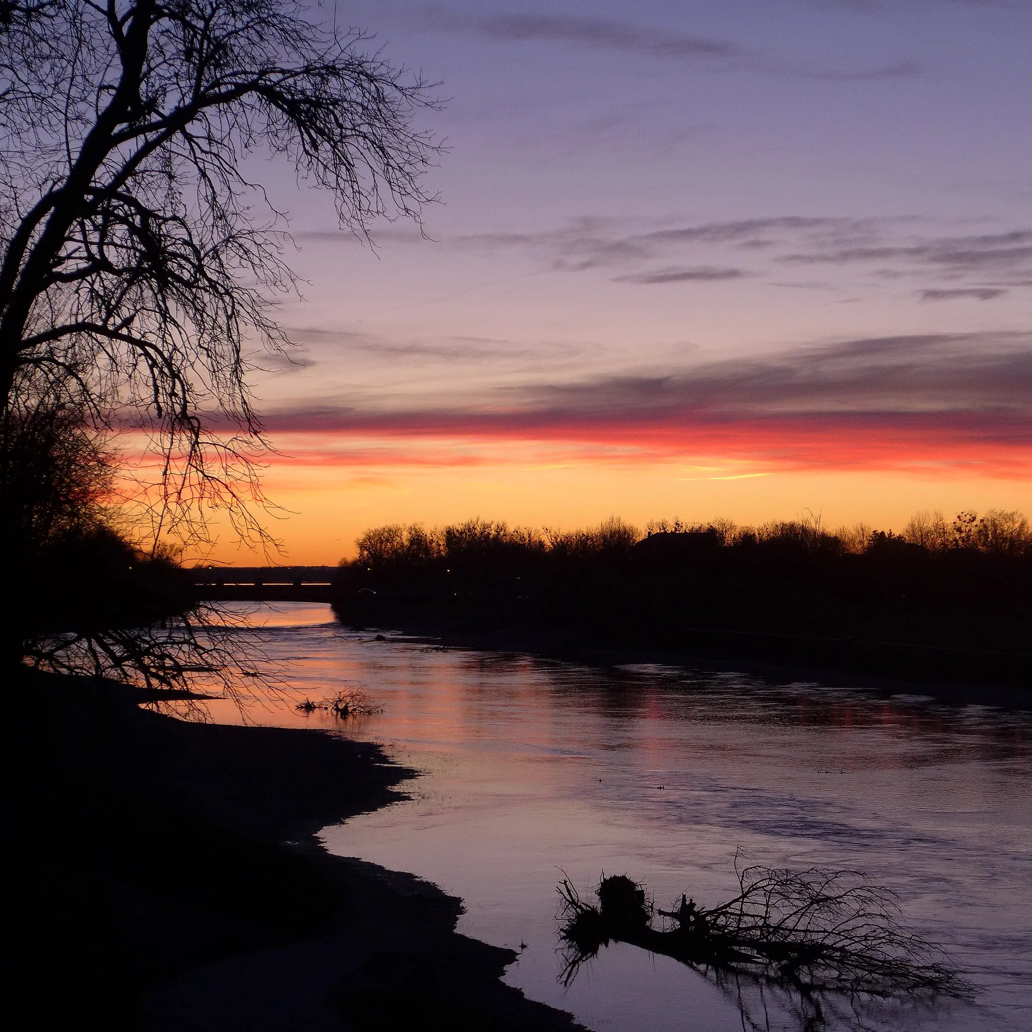
UsterlingVillagePass through Usterling, a small town located on the banks of the river. Take a moment to appreciate the peacefulness of this riverside setting.
74 km
74 km
FrontenhausenVillageOnce again, experience the charm of Frontenhausen as you cycle through the town center. Enjoy the picturesque streets lined with traditional Bavarian houses.
85 km
85 km
WeigendorfVillageEnd your ride in Weigendorf, a serene village surrounded by picturesque landscapes. Take a moment to relax and soak in the natural beauty of the area.
90 km
90 km
Finish: Niederviehbach Village centerNiederviehbach: Serene cycling routes amidst rolling countryside
Cycling routes from Niederviehbach:
Gravel Loop to Niederviehbach Scenic Gravel Ride from Niederviehbach Road Ride to Mengkofen Challenging Gravel Loop with Hilltop Views Discovering Rural Landscapes by Gravel Bike Scenic Gravel Ride to Gottfrieding Discover the Charms of Dingolfing Explore the Beauty of Rimbach Venture through Vilsbiburg and Beyond The Ultimate Challenge: Niederviehbacherau
Cycling routes nearby: