The Ultimate Challenge: Niederviehbacherau
A road cycling route starting from Niederviehbach
Conquer the legendary climb to Niederviehbacherau and test your cycling skills.
Map
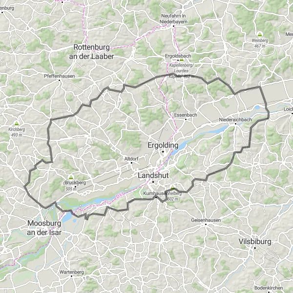
Embark on a challenging road cycling route that takes you to the legendary Niederviehbacherau. With a total ascent of 1026m and a distance of 111km, this route is reserved for experienced cyclists seeking an epic adventure.
road
111 km
1026 m
Savage
Route profile
Highlights on the route
0 km
0 km
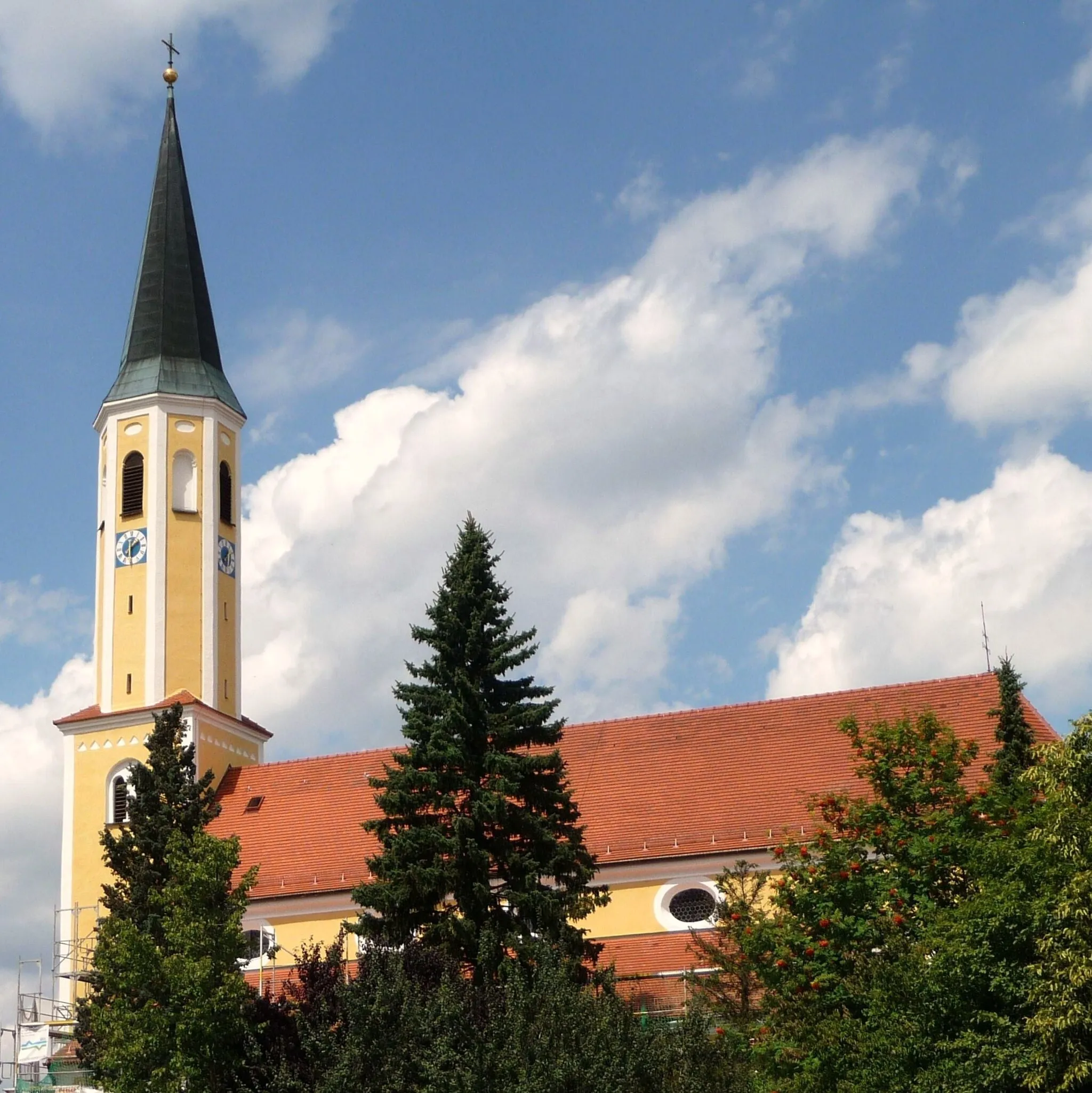
Start: Niederviehbach Village centerNiederviehbach: Serene cycling routes amidst rolling countryside
Niederviehbach is a peaceful locality located in the Niederbayern region of Germany. As a road and gravel cyclist, Niederviehbach offers serene cycling routes through picturesque landscapes. The region is known for its rolling hills and countryside views, providing cyclists with a mix of relaxing rides and more challenging ascents. One popular spot for cyclists in the area is the Wallersdorf Hill, which offers a challenging climb and rewarding vistas from the top. With its peaceful surroundings and cyclist-friendly atmosphere, Niederviehbach is an ideal destination for cyclists seeking tranquility and natural beauty.14 km
14 km
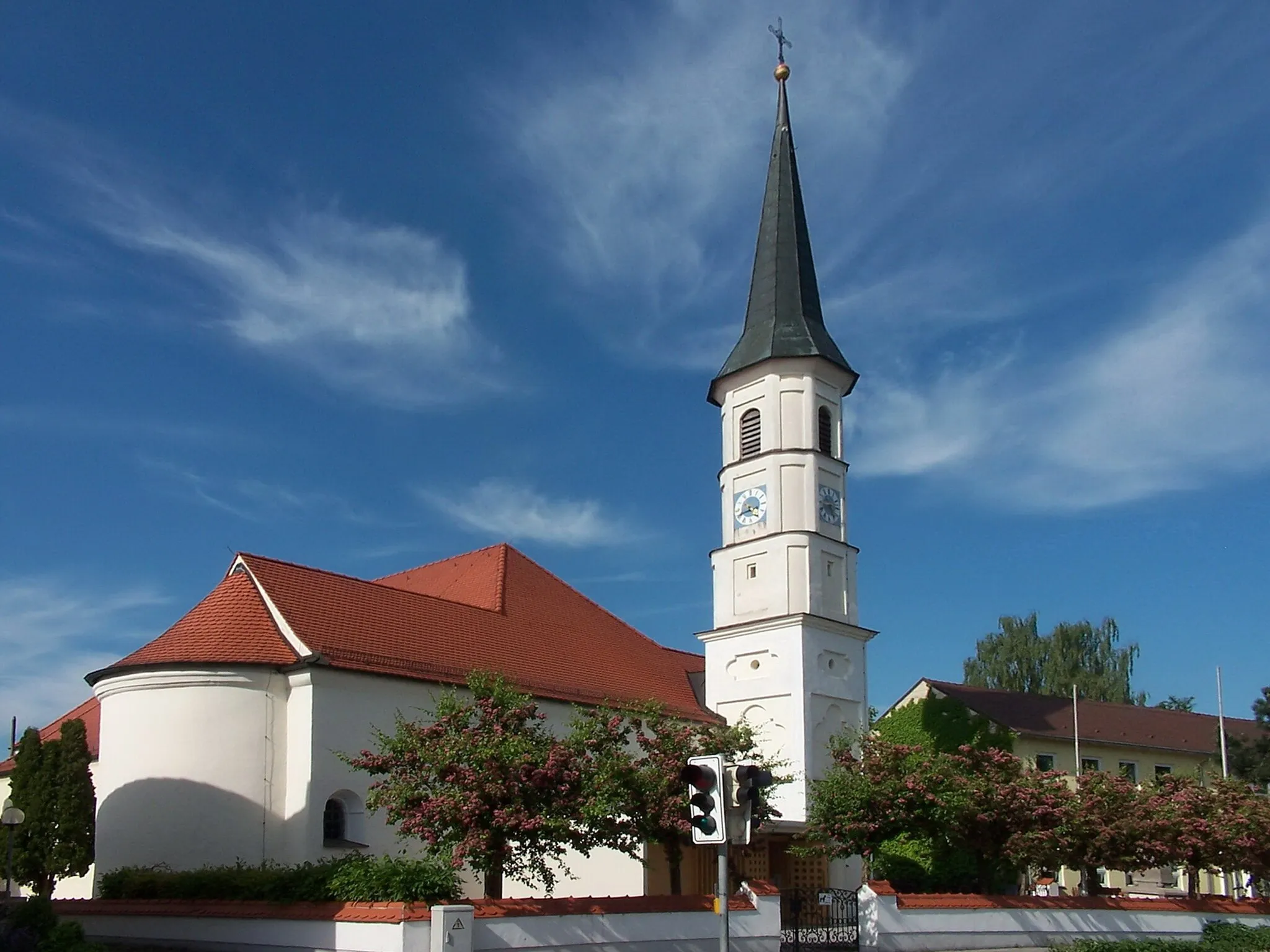
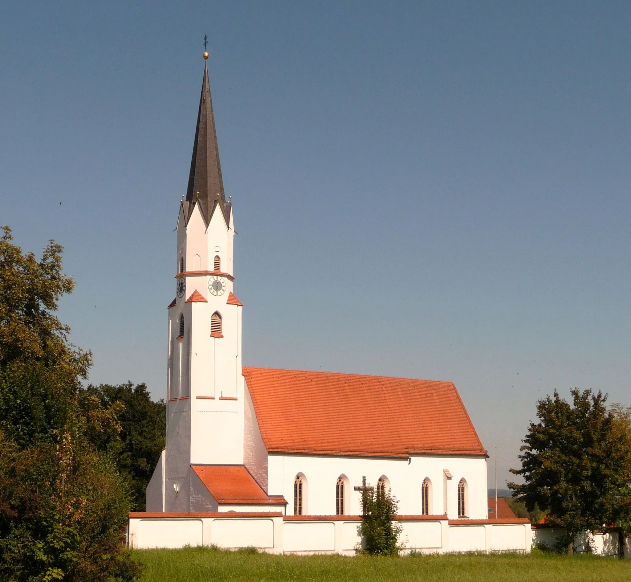
AdlkofenVillagePass by Adlkofen, a small town known for its stunning landscapes and well-preserved historic buildings. Take a moment to appreciate the natural beauty of the area.
26 km
26 km
KumhausenVillageVisit Kumhausen once again and enjoy the scenic views as you continue your journey. Take a break at a local cafe and recharge before tackling the challenging route ahead.
37 km
37 km
Schusterberg462 mPeakExperience the thrill of conquering Schusterberg, a steep climb that rewards you with breathtaking views at the top. Challenge your cycling skills and push yourself to the limit.
48 km
48 km
Salzberg471 mPeakReach Salzberg, a small village known for its traditional Bavarian architecture. Admire the charming houses and take a moment to rest and hydrate in this charming setting.
61 km
61 km
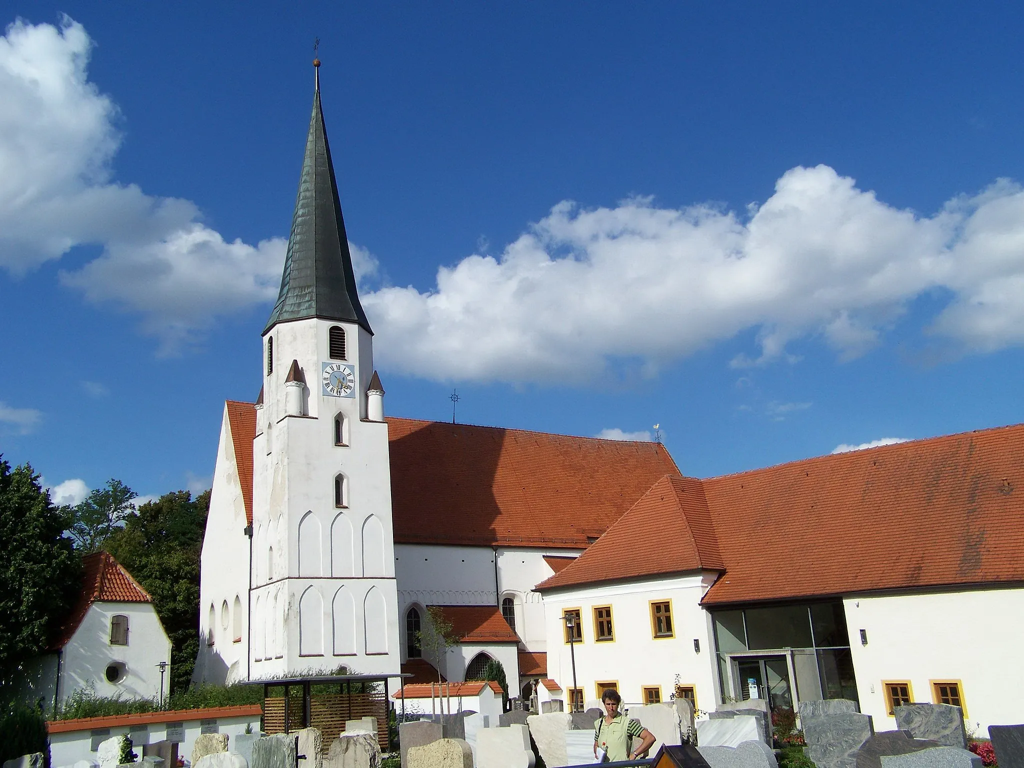
GammelsdorfVillageCycle through Gammelsdorf, a historic town with medieval architecture. Learn about its fascinating history and appreciate the well-preserved heritage of the area.
83 km
83 km
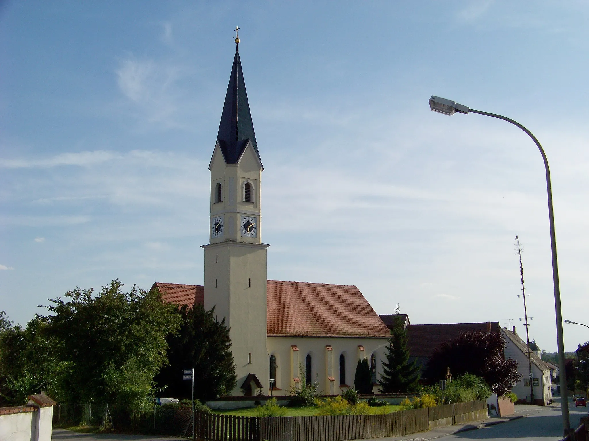
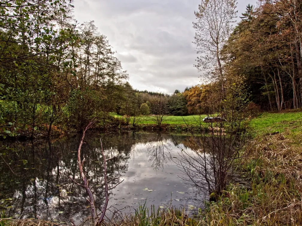
HohenthannVillagePass through Hohenthann, a peaceful village surrounded by rolling hills and fields. Enjoy the tranquility of the countryside as you continue towards your ultimate destination.
103 km
103 km
PostauVillageExperience the picturesque landscapes of Postau, a rural village with a rich agricultural heritage. Take a moment to admire the traditional Bavarian farmhouses and enjoy the fresh country air.
110 km
110 km
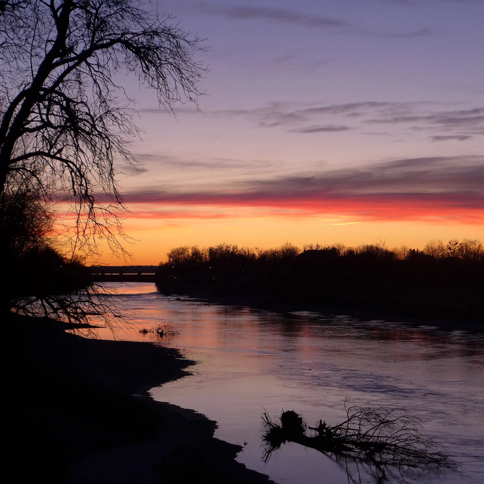
NiederviehbacherauHamletArrive at Niederviehbacherau, one of the most legendary cycling spots in the country. Challenge yourself to conquer the steep climb and be rewarded with breathtaking panoramic views from the top.
111 km
111 km
Finish: Niederviehbach Village centerNiederviehbach: Serene cycling routes amidst rolling countryside
Cycling routes from Niederviehbach:
Gravel Loop to Niederviehbach Scenic Gravel Ride from Niederviehbach Road Ride to Mengkofen Challenging Gravel Loop with Hilltop Views Discovering Rural Landscapes by Gravel Bike Scenic Gravel Ride to Gottfrieding Discover the Charms of Dingolfing Explore the Beauty of Rimbach Venture through Vilsbiburg and Beyond The Ultimate Challenge: Niederviehbacherau
Cycling routes nearby: