Simbach am Inn Route
A road cycling route starting from Rotthalmunster
Cycle through scenic landscapes to Simbach am Inn on this moderate road cycling route.
Map
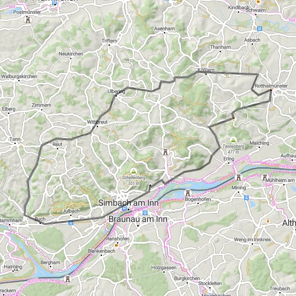
The Simbach am Inn Route takes you on a journey through the scenic countryside near Rotthalmünster. With a distance of 66 km and an ascent of 679 m, this road cycling route is suitable for cyclists of intermediate level. Along the route, you will pass through Weiheröd, Simbach am Inn, Schloßberg, Reut, and Kößlarn. Each of these places offers its own unique charm and attractions. From the peaceful surroundings of Weiheröd to the historic landmarks of Simbach am Inn, this route has something for everyone.
road
66 km
679 m
Tough
Route profile
Highlights on the route
0 km
0 km
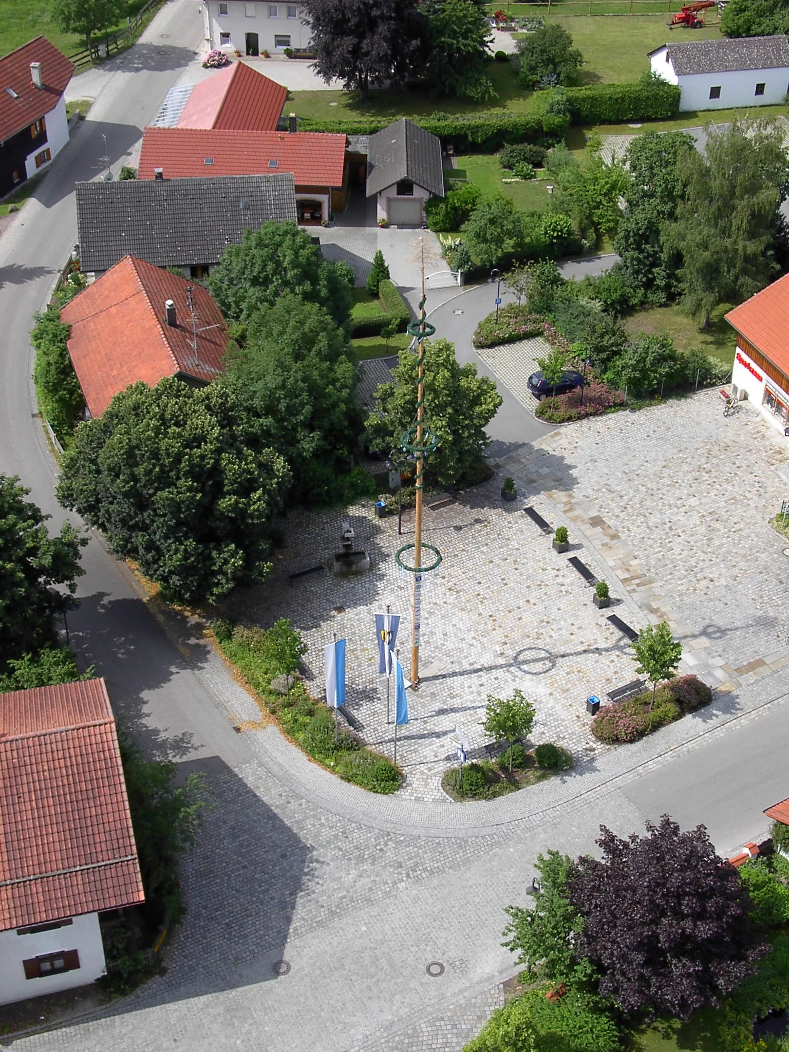
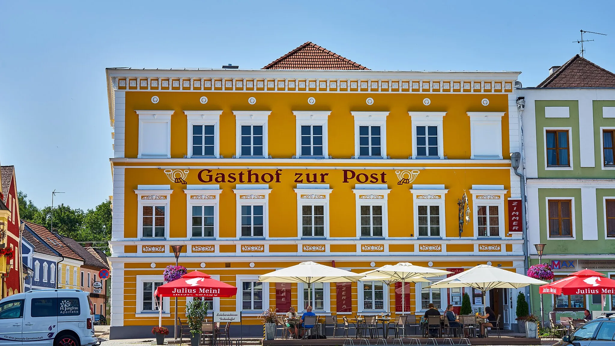
Start: Rotthalmünster Village centerRotthalmünster: Take a relaxing ride along the Rott Valley Cycle Path in Rotthalmünster.
Rotthalmünster, located in Niederbayern, Germany, is a locality that provides decent cycling opportunities for both road and gravel cyclists. The roads in and around Rotthalmünster are generally in good condition, albeit with occasional traffic. The landscape consists of rolling hills, charming villages, and beautiful countryside. One notable cycling spot near Rotthalmünster is the Rott Valley Cycle Path, an approximately 30 km long route that follows the picturesque Rott River. Overall, Rotthalmünster offers pleasant cycling routes suitable for riders of various skill levels.3 km
3 km
WeiherödHamletStop by Weiheröd and enjoy the tranquility of the surrounding nature.
21 km
21 km
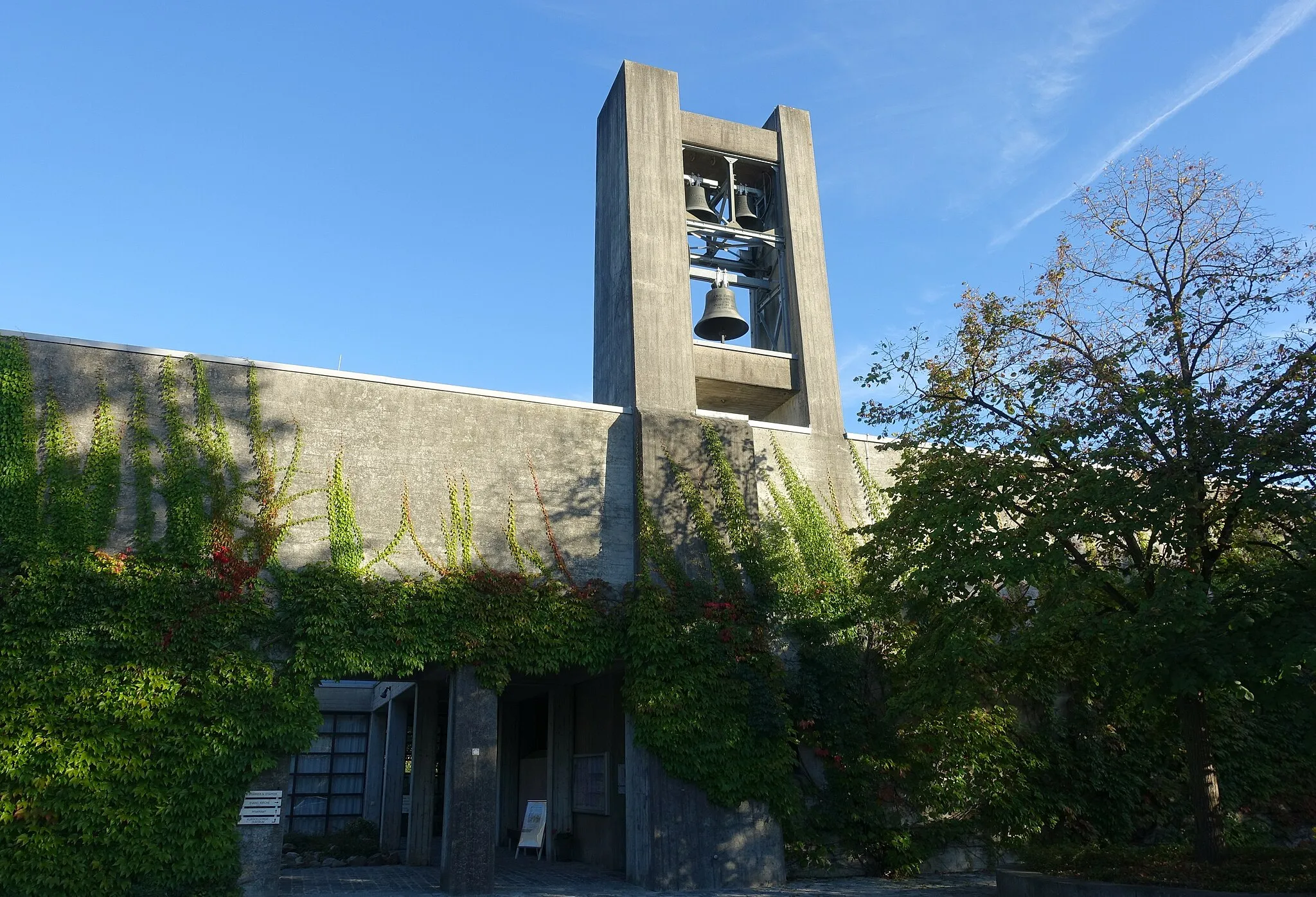
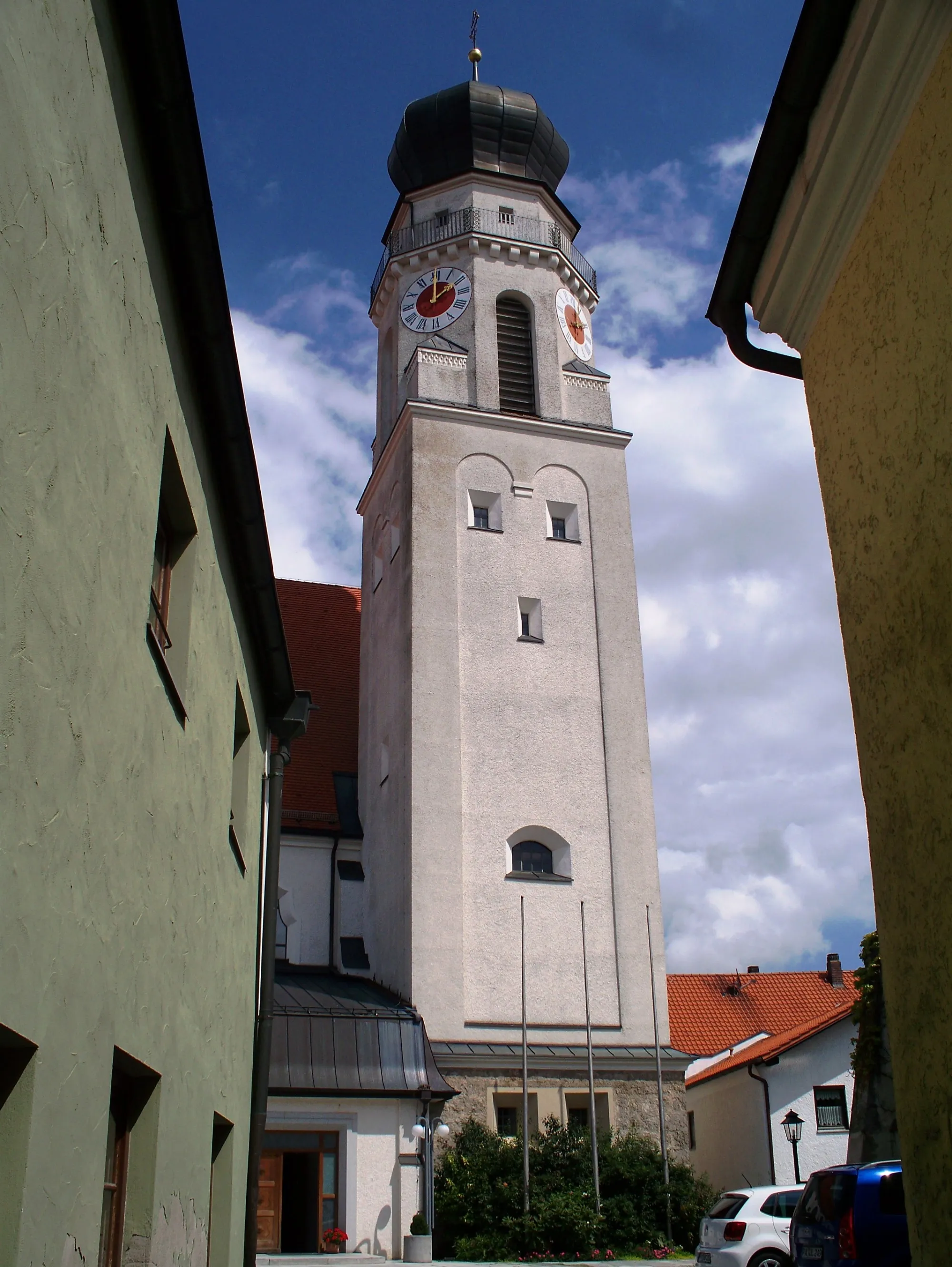
Simbach am InnTownVisit Simbach am Inn and explore its rich history and cultural heritage.
26 km
26 km
SchloßbergViewpointClimb up Schloßberg and be rewarded with panoramic views of the surrounding countryside.
40 km
40 km
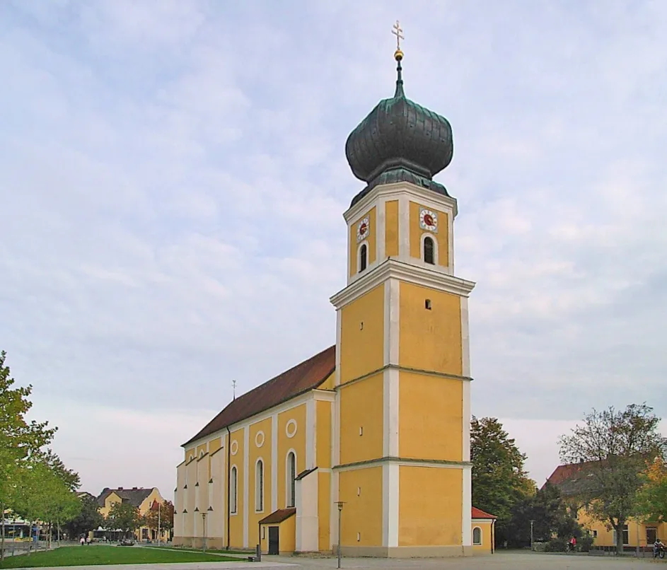
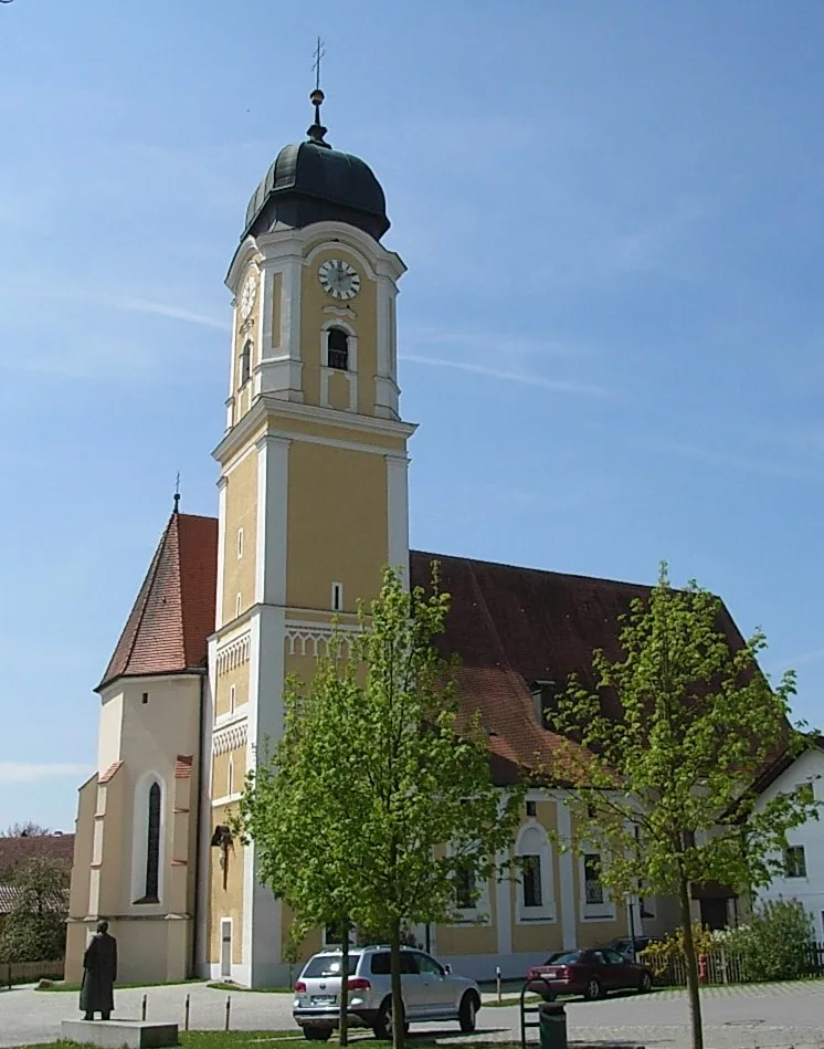
ReutVillageDiscover the charming village of Reut and its traditional Bavarian architecture.
58 km
58 km
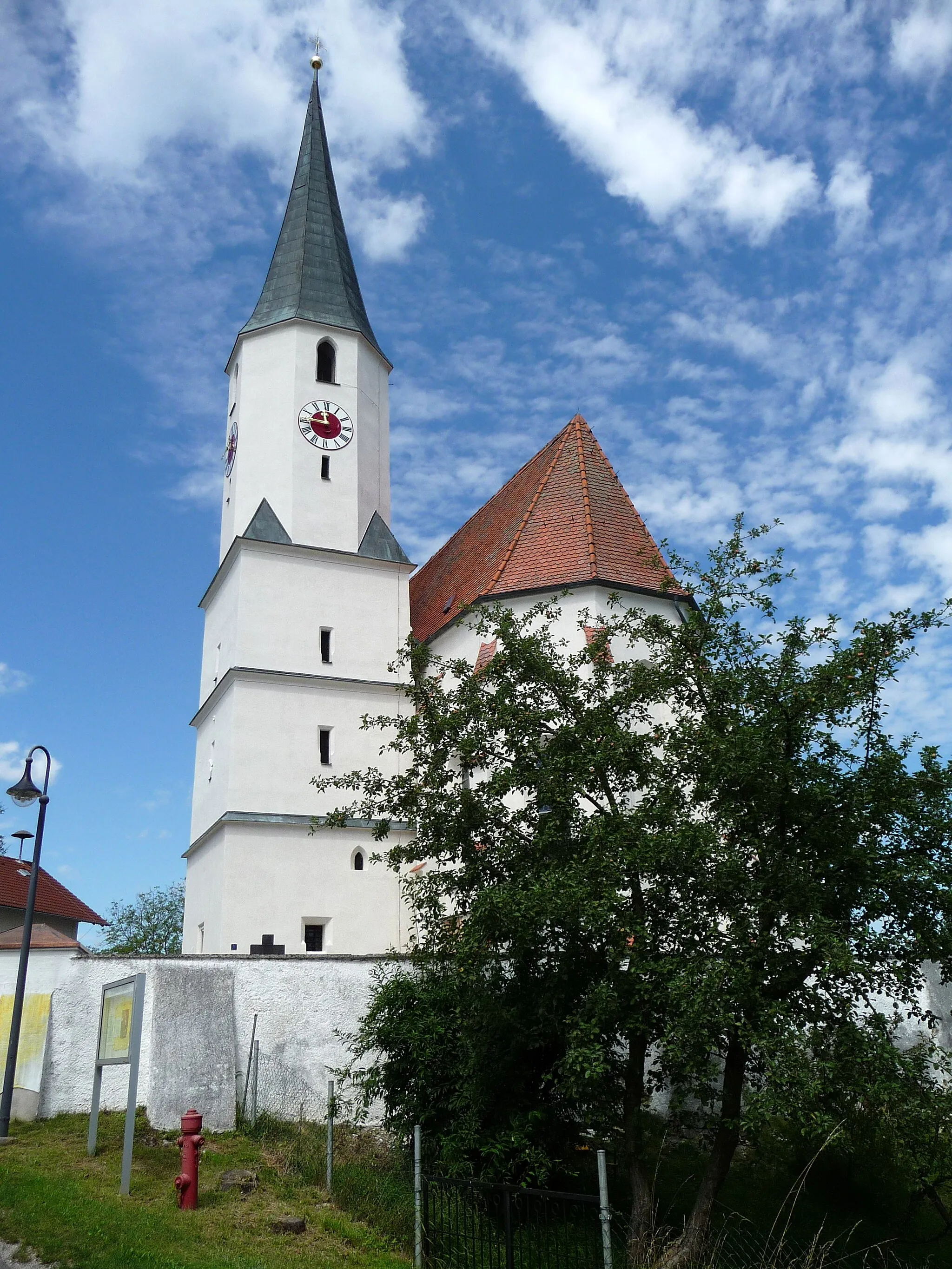
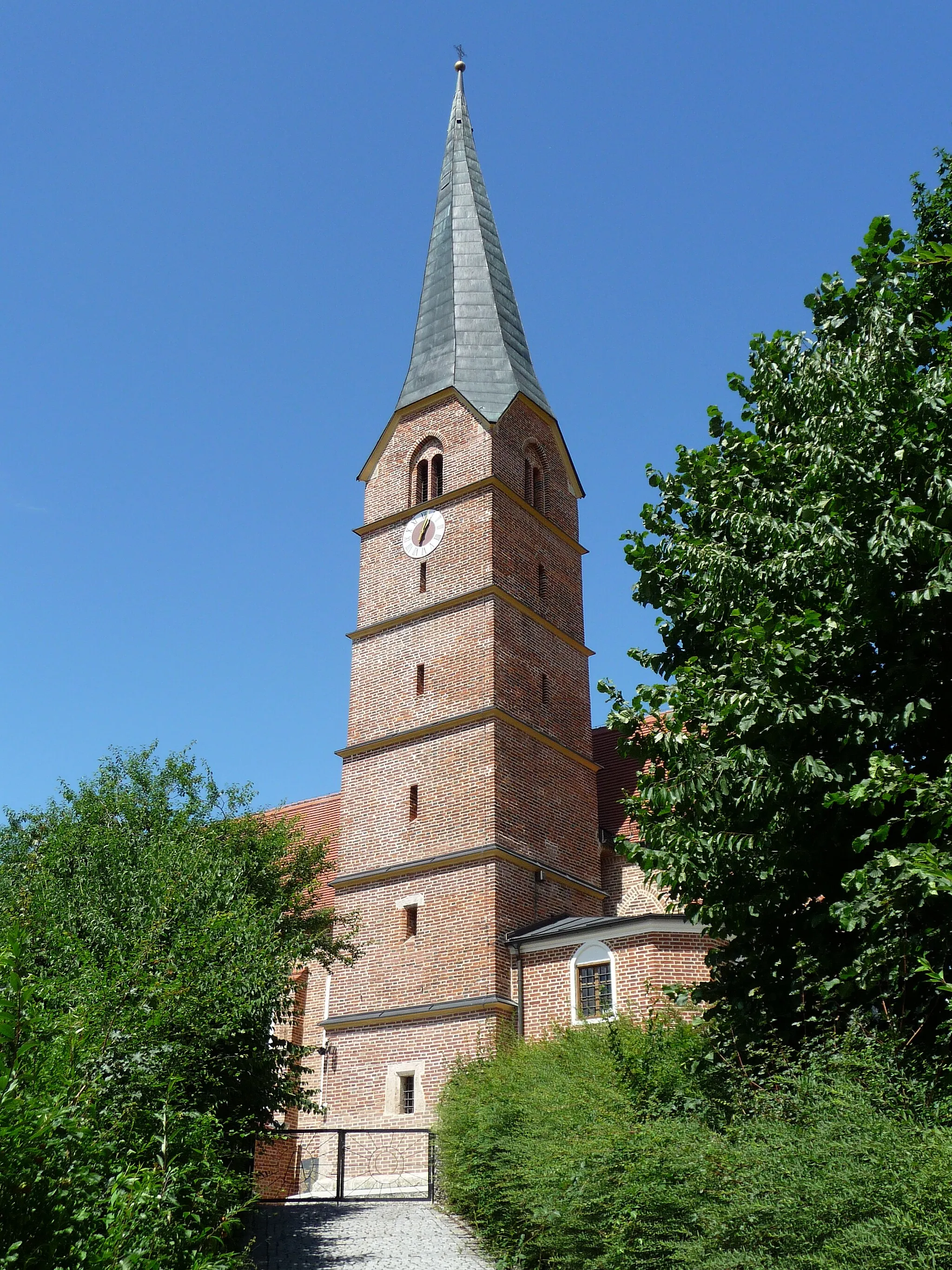
KößlarnVillagePass through the picturesque town of Kößlarn and admire its well-preserved historic buildings.
66 km
66 km
Finish: Rotthalmünster Village centerRotthalmünster: Take a relaxing ride along the Rott Valley Cycle Path in Rotthalmünster.
Cycling routes from Rotthalmunster:
The Gravel Adventure in Rotthalmünster The Hidden Gems of Pocking Neuhaus Expedition The Challenging Road to Fürstenzell Weihmörting Gravel Adventure Exploring Kirchheim im Innkreis Rotthalmünster Round-Trip Ruhstorf Loop Ering Adventure The Majestic Journey to Obernberg am Inn Kößlarn Gravel Exploration Ering Gravel Adventure Malching Loop Simbach am Inn Route Ranshofen Historical Ride
Cycling routes nearby: