Challenging Road Cycling Route
A road cycling route starting from Grossgmain
Conquer the challenging roads of Oberbayern
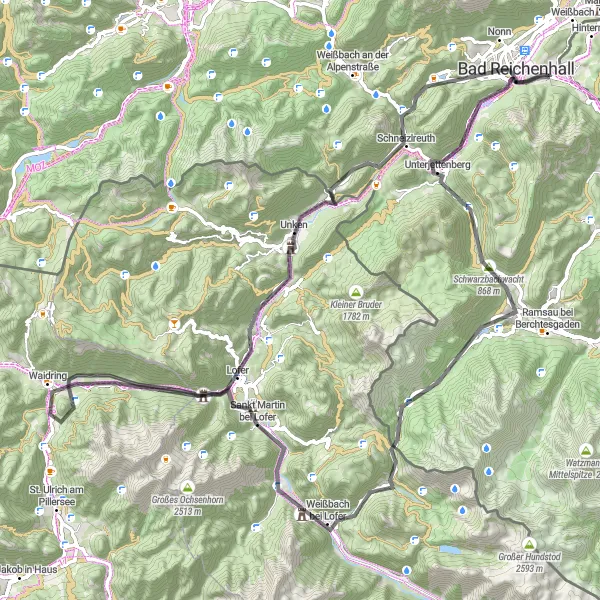
Map
Get ready to test your cycling skills on this challenging road cycling route through Oberbayern. With a climb of 2219m and a distance of 95km, this route is suitable for experienced cyclists seeking a more demanding challenge. Along the way, you'll encounter steep climbs, scenic descents, and breathtaking vistas of the region's stunning landscapes.
road
95 km
2219 m
Savage
Route profile
Highlights on the route
0 km
0 km
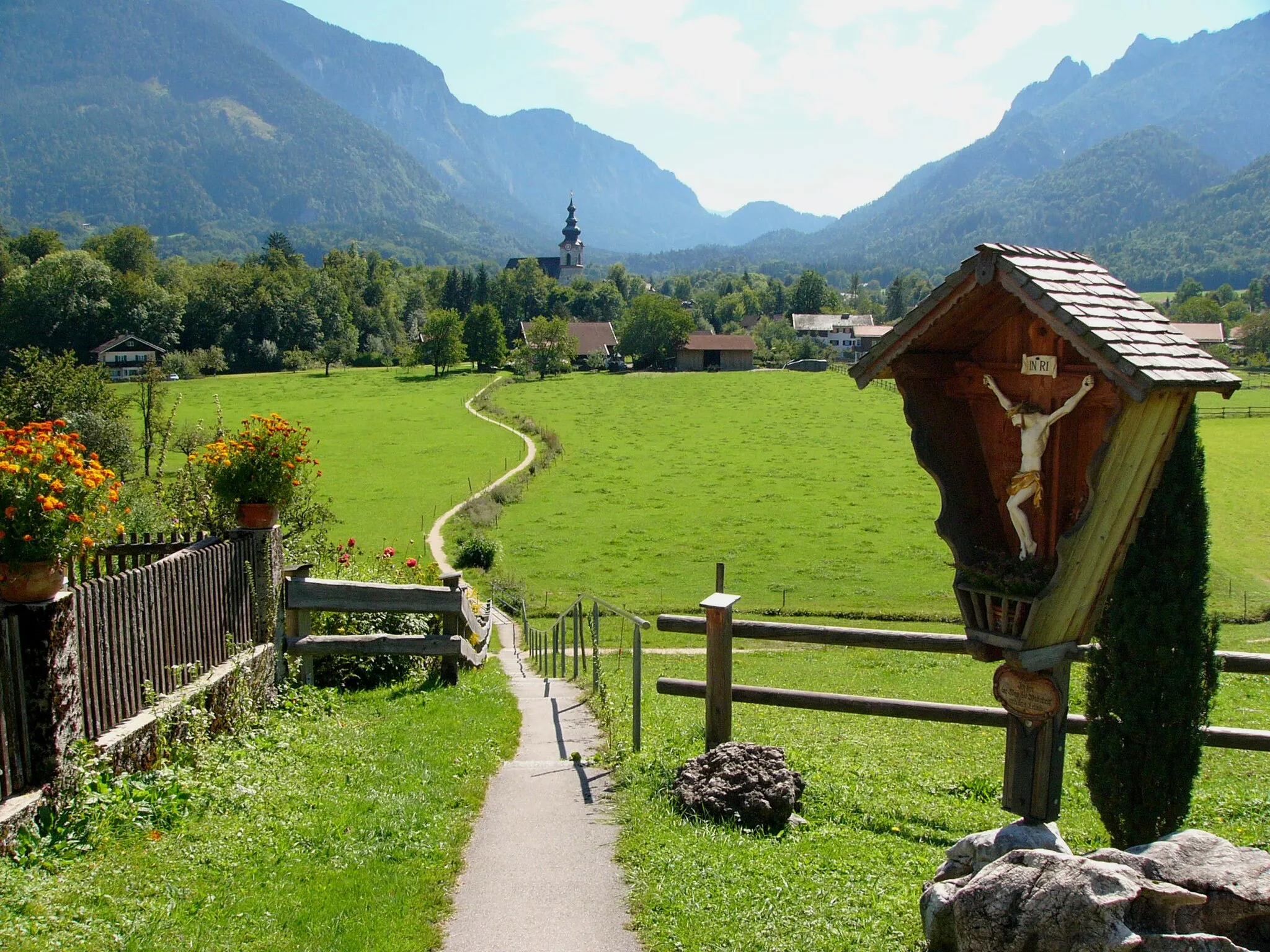
Start: Bayerisch Gmain Village centerGrossgmain: Cycling Adventure in the Alpine Paradise of Grossgmain, Oberbayern, Germany
Grossgmain is a serene locality situated in Oberbayern, Germany, characterized by its stunning alpine landscapes and tranquil atmosphere. From a cyclist's perspective, Grossgmain offers challenging routes through the majestic alpine peaks, making it a must-visit destination for mountain and gravel cyclists. The locality is home to the famous climb to Jennerbahn, which is known for its demanding ascent and breathtaking panoramic views at the top. Grossgmain provides cyclist-friendly amenities like bike rentals, guided tours, and cyclist-friendly accommodations. In addition to cycling opportunities, the locality also offers various tourism attractions, such as natural reserves, spas, and cultural sites, making it an ideal destination for outdoor enthusiasts and tourists alike.15 km
15 km
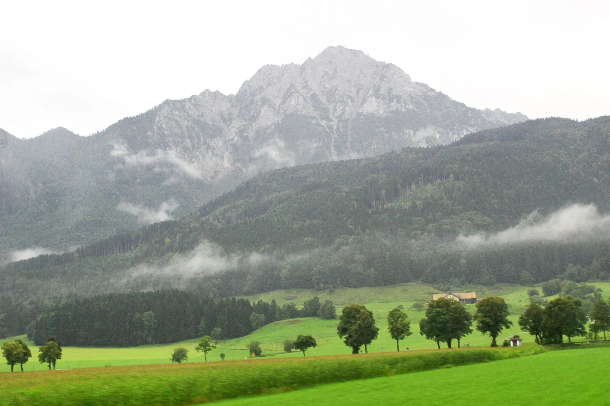
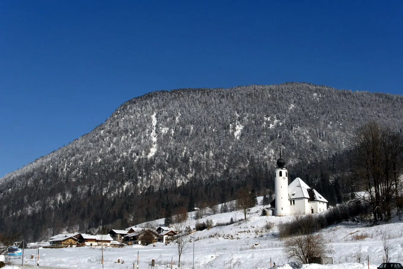
Schwarzbachwacht868 mMountain PassSchwarzbachwacht offers stunning views of the surrounding valleys and peaks, making it a perfect spot for nature enthusiasts.
26 km
26 km
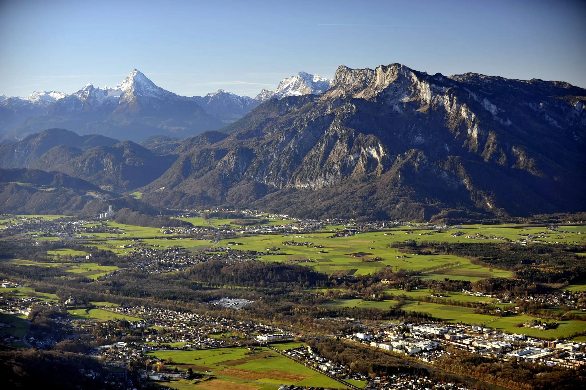
HirschbichlstraßeViewpointHirschbichlstraße is a legendary cycling route with its challenging gradients and picturesque scenery.
35 km
35 km
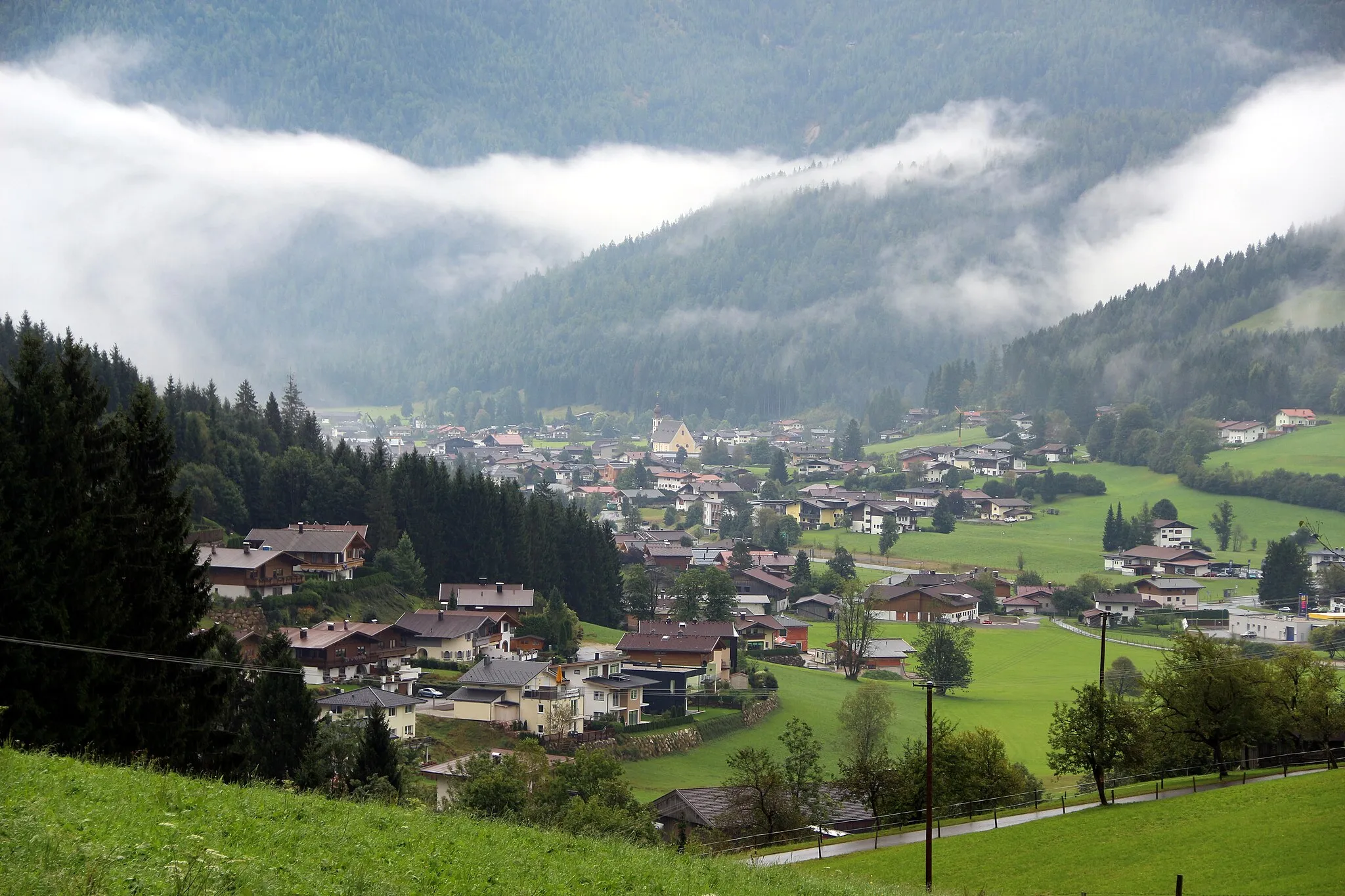
Weißbach bei LoferVillageWeißbach bei Lofer is a hidden gem where you can enjoy breathtaking views of the alpine landscape.
47 km
47 km
Pass Strub675 mMountain PassPass Strub is a historic mountain pass that offers a thrilling cycling experience with its winding roads and majestic views.
57 km
57 km
WaidringVillageWaidring is a charming village surrounded by stunning mountain peaks, providing a perfect backdrop for your ride.
76 km
76 km
UnkenVillageUnken is a picturesque village with traditional Bavarian charm and beautiful mountain landscapes.
80 km
80 km
Steinpass615 mMountain PassSteinpass is a challenging climb that rewards you with mesmerizing views of the surrounding valleys.
93 km
93 km
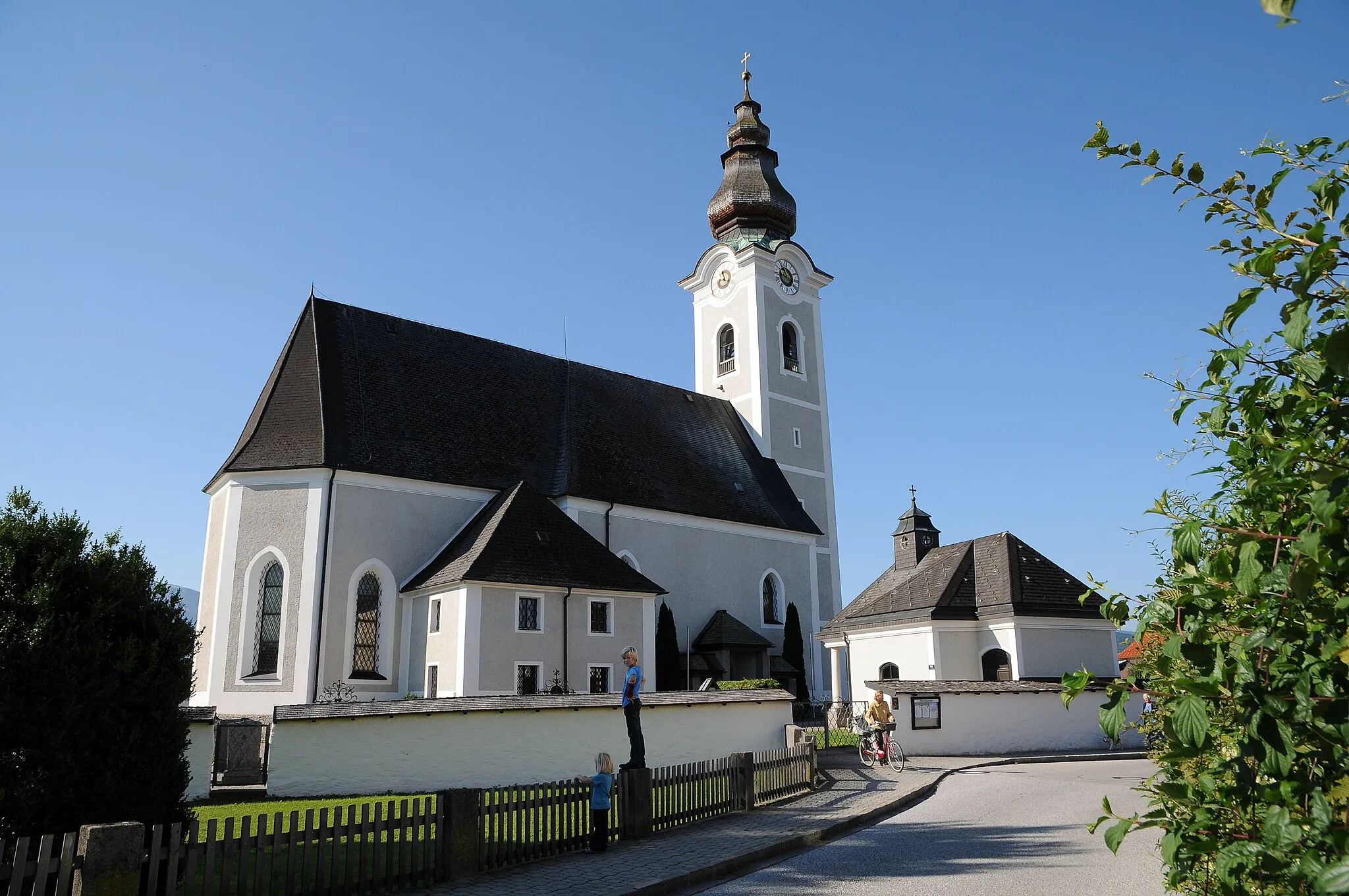
Bad ReichenhallTownBad Reichenhall is a vibrant town known for its cultural events, charming architecture, and natural beauty.
94 km
94 km
Dötzenkopf1001 mPeakDötzenkopf offers scenic views and a peaceful atmosphere, making it an ideal spot for a rest during your ride.
95 km
95 km
Finish: Bayerisch Gmain Village centerGrossgmain: Cycling Adventure in the Alpine Paradise of Grossgmain, Oberbayern, Germany
Cycling routes from Grossgmain:
Short Gravel Ride in Oberbayern Grossgmain Circular Road Route Challenging Road Cycling Route Grossgmain Extended Road Route Scenic Gravel Cycling Tour Grossgmain Gravel Adventure Road Cycling in Grossgmain Alpine adventure from Grossgmain to Ramsau bei Berchtesgaden Grossgmain Gravel Adventure Extended Gravel Route through Oberbayern Gravel Adventure in the Bernau Forest Alpine Adventure Road Cycling Route
Cycling routes nearby: