Historical Gravel Route
A gravel cycling route starting from Bad Staffelstein
Discover the rich history of Bad Staffelstein and its surroundings on this gravel route.
Map
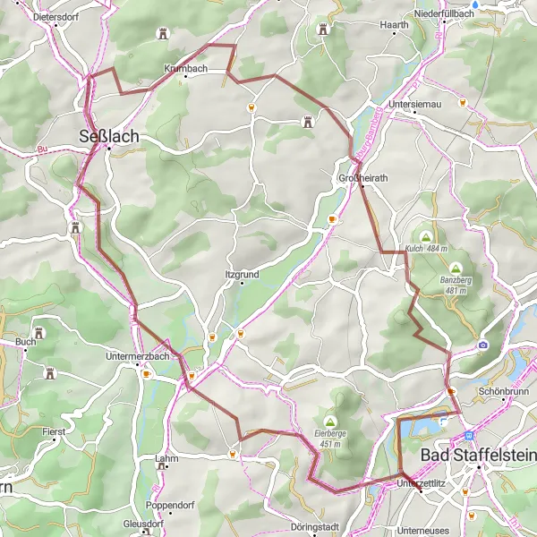
This distinctive gravel route takes you through fascinating historical sites such as Untermerzbach, Hahn, and Seßlach. With a moderate ascent of 577 meters over a distance of 48 kilometers, this route is suitable for well-trained amateur cyclists. Enjoy the scenic beauty and immerse yourself in the history and culture of the region.
gravel
48 km
577 m
Tough
Route profile
Highlights on the route
0 km
0 km
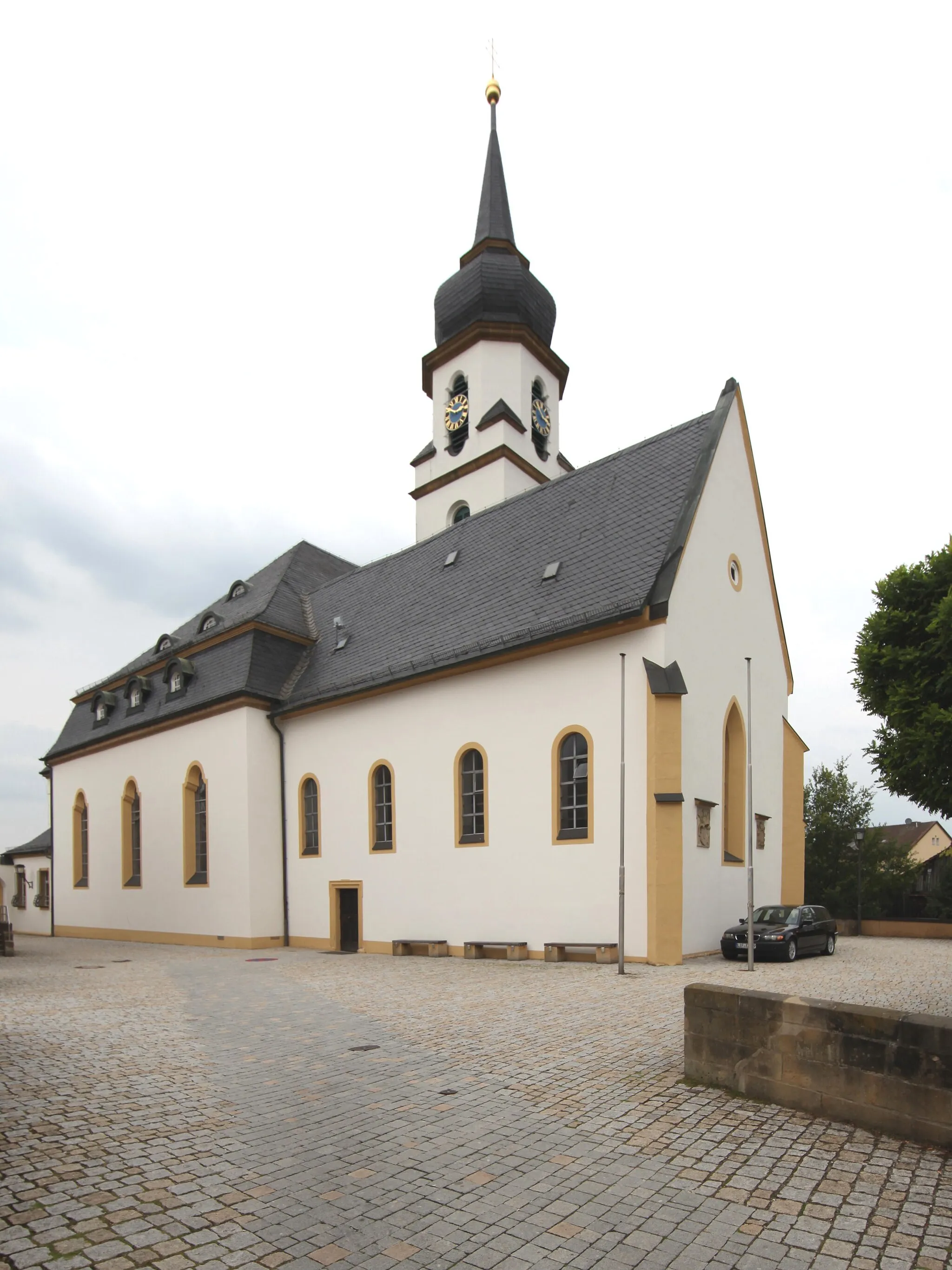
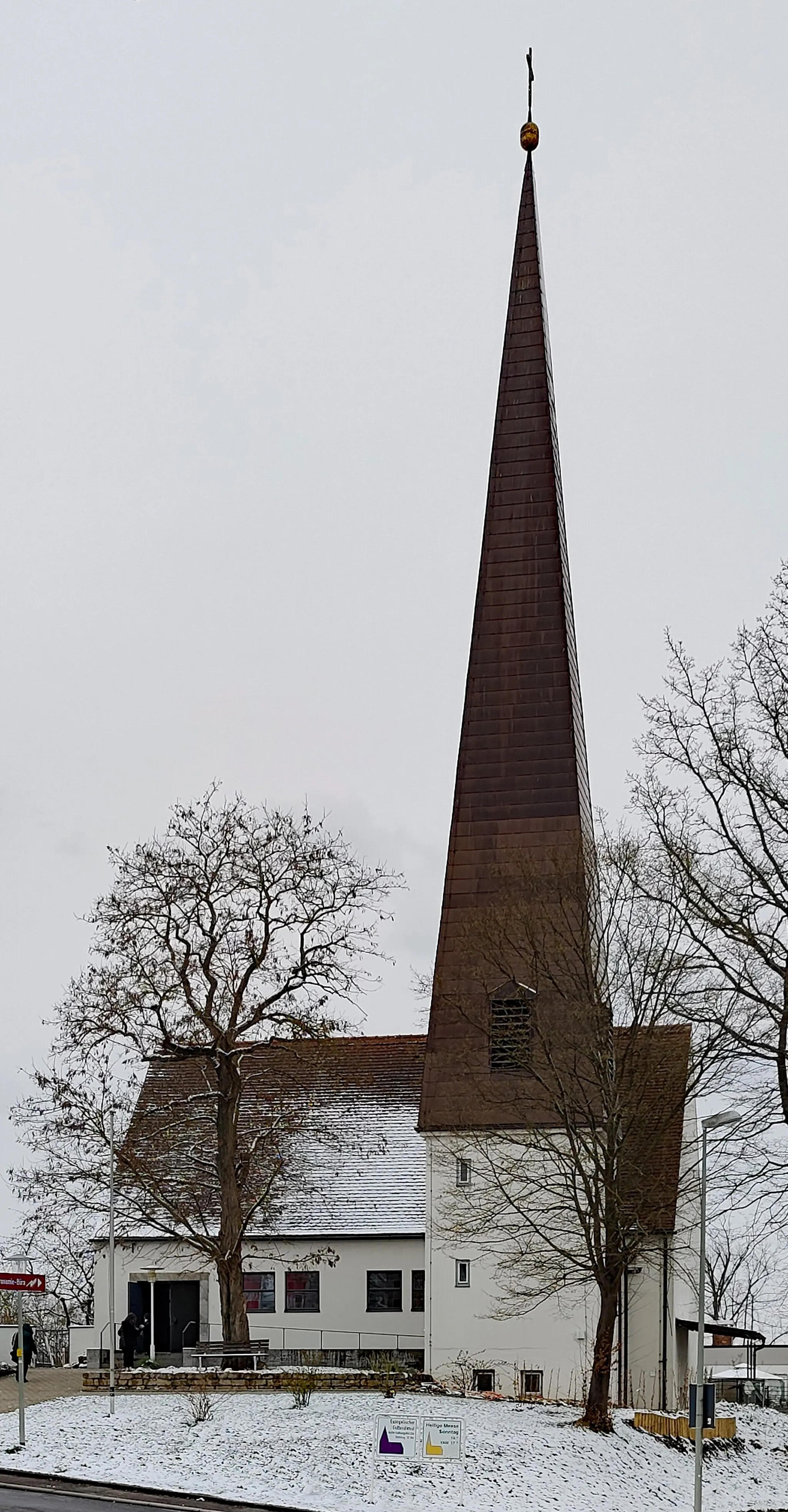
Start: Unterzettlitz Village centerBad Staffelstein: Discover picturesque landscapes and rejuvenating thermal baths in Bad Staffelstein, Germany.
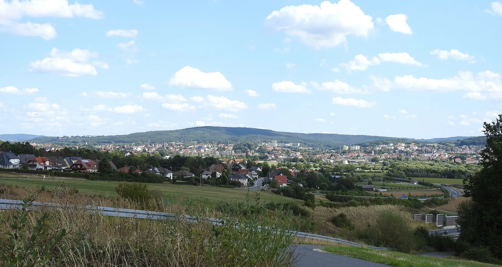
Bad Staffelstein, located in the Oberfranken region of Germany, is renowned for its stunning natural landscapes and hot springs. As a road and gravel cyclist, you can enjoy exploring the scenic routes that encompass the surrounding areas. Notable nearby climbs include the Staffelberg, an iconic limestone plateau providing a challenging ascent. Bad Staffelstein is a cycling-friendly locality with opportunities to combine outdoor activities with relaxation in its rejuvenating thermal baths.12 km
12 km
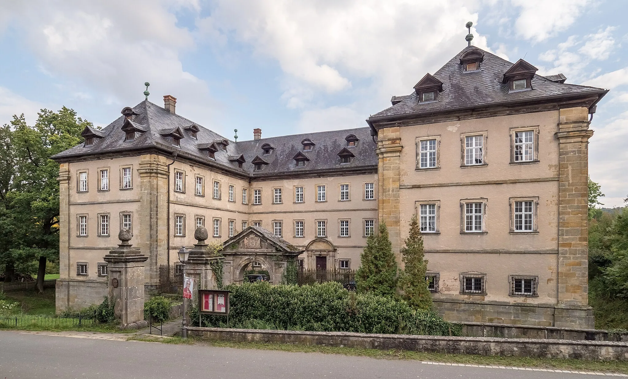
UntermerzbachVillageVisit the charming village of Untermerzbach and explore its medieval buildings.
17 km
17 km
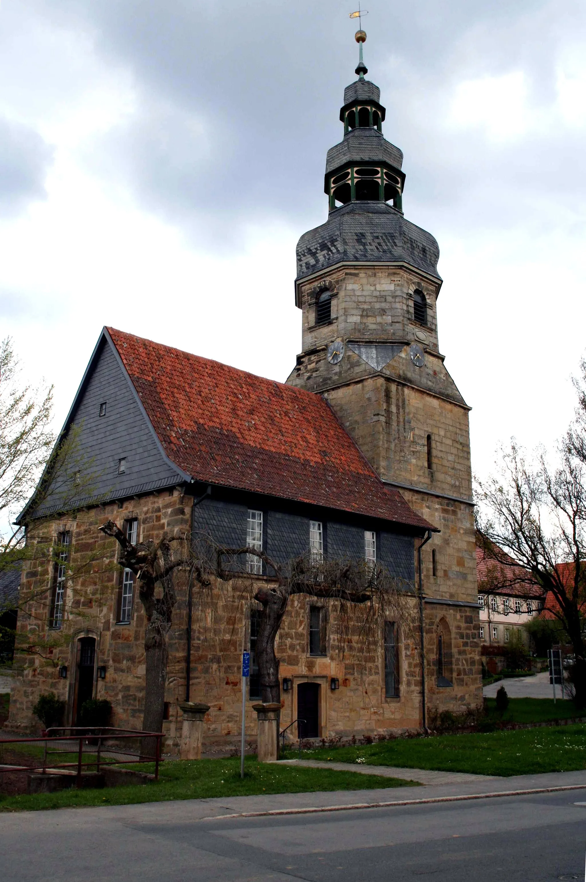
Hahn307 mPeakStop at the historic Hahn town and admire its well-preserved half-timbered houses.
19 km
19 km
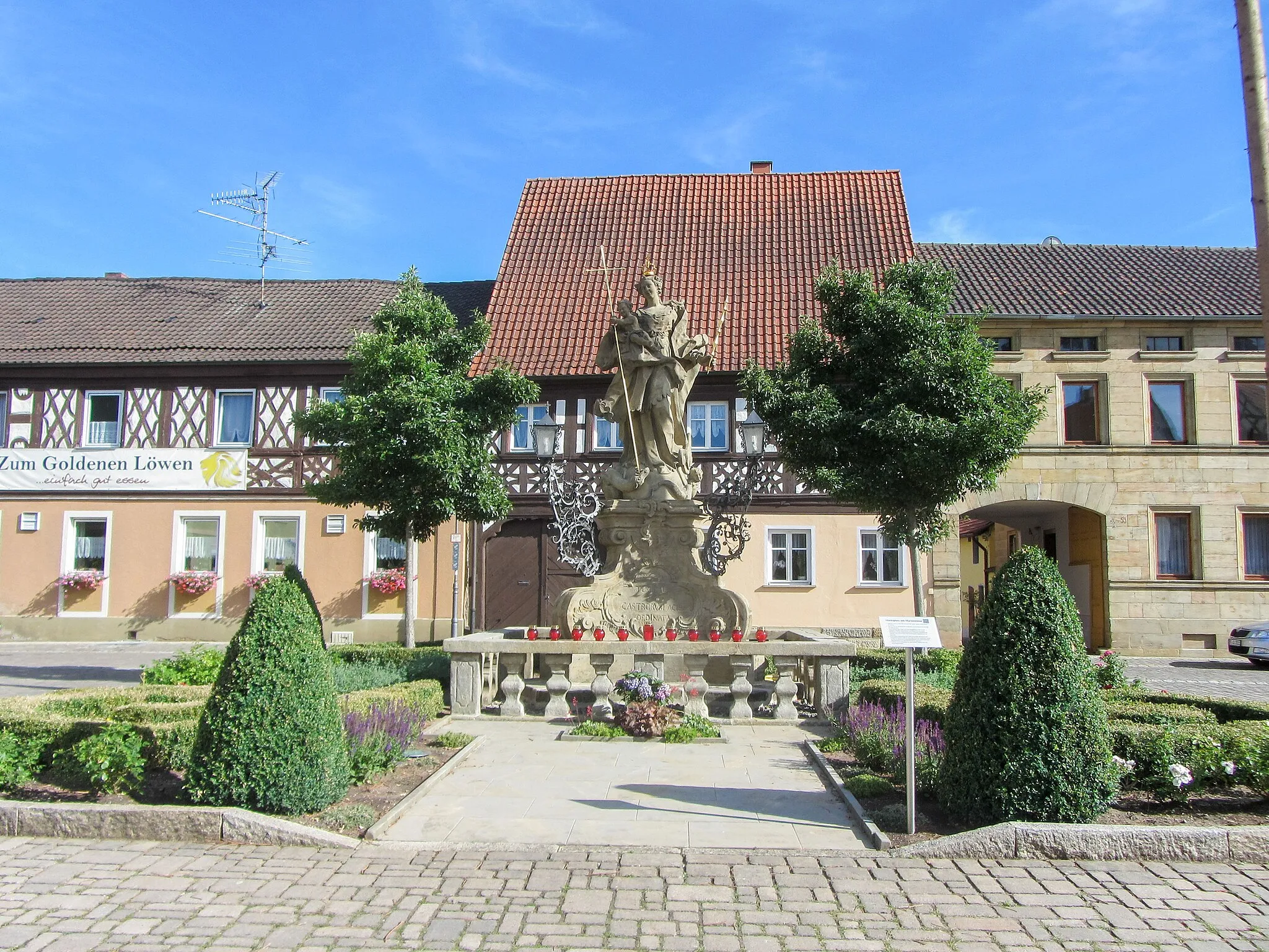
SeßlachTownDiscover the picturesque town of Seßlach and its beautifully preserved medieval city walls.
35 km
35 km
GroßheirathVillageMake a break in Großheirath and indulge in local Franconian cuisine.
37 km
37 km
Kulch484 mPeakExperience the quaint village of Kulch and enjoy the scenic views along the way.
43 km
43 km
UnnersdorfVillagePass through Unnersdorf and admire its traditional Franconian architecture.
46 km
46 km
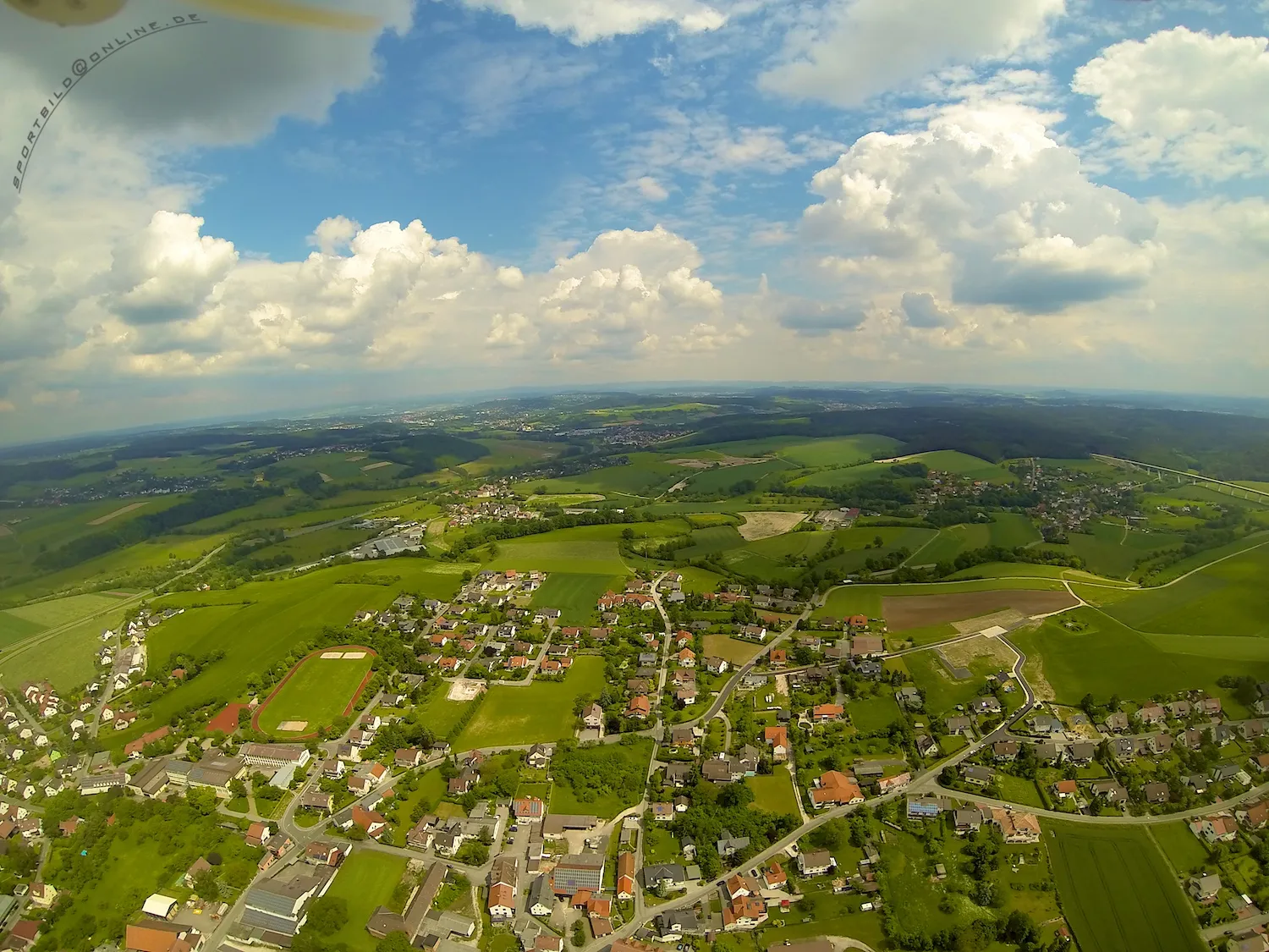
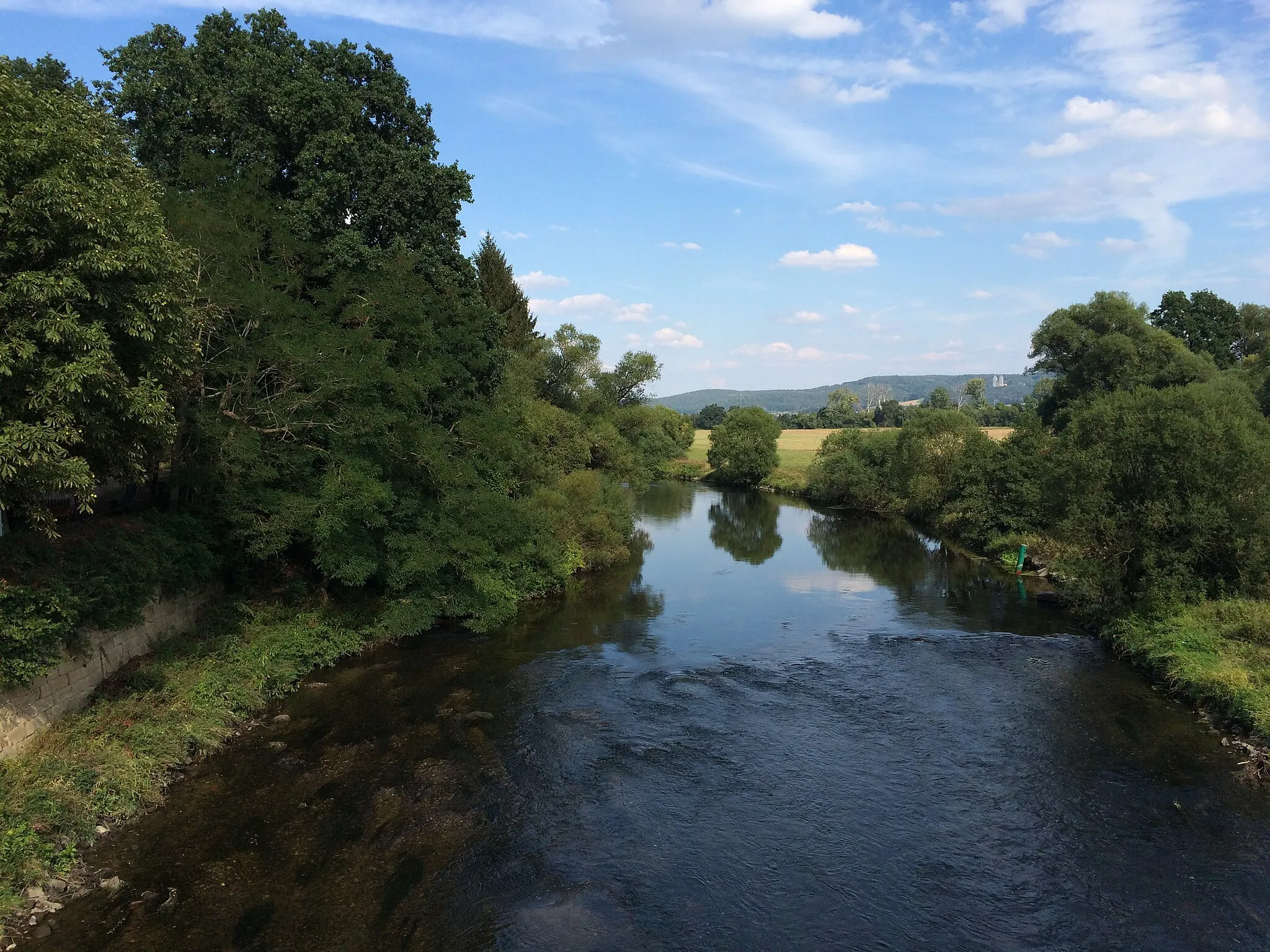
TrimeuselViewpointReach the stunning Trimeusel and soak in the idyllic surroundings.
48 km
48 km
Finish: Unterzettlitz Village centerBad Staffelstein: Discover picturesque landscapes and rejuvenating thermal baths in Bad Staffelstein, Germany.
Cycling routes from Bad Staffelstein:
Historical Gravel Route Scenic Road Tour Nature Gravel Loop Countryside Road Escape Mountain Adventure Gravel Tour Road Cycling Route: Bad Staffelstein Highlights Gravel Cycling Route: Bad Staffelstein Highlights Road Cycling Route: Oberfranken Landscapes Gravel Cycling Route: Picturesque Villages Road Cycling Route: Historical Attractions
Cycling routes nearby: