The Hilltop Challenge
A road cycling route starting from Burgebrach
Embark on a challenging ride with breathtaking hilltop views
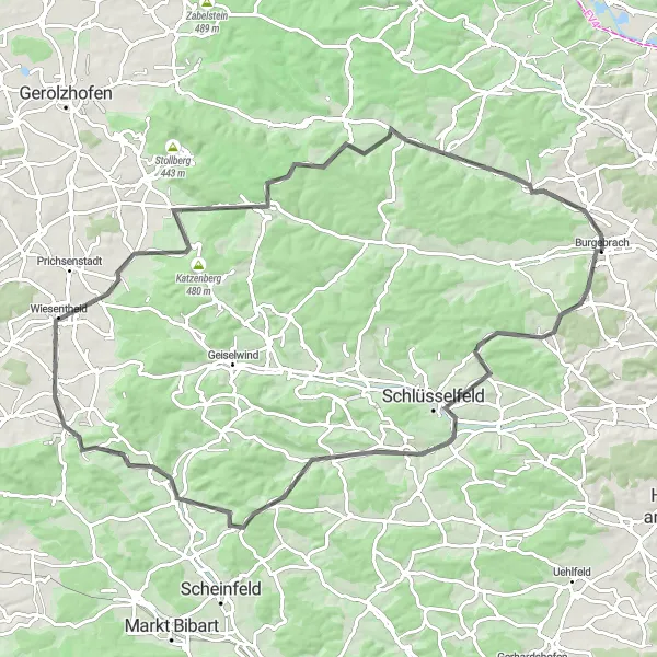
Map
Get ready to push your limits as you tackle this challenging cycling route with significant elevation gains near Burgebrach. Climb up steep hills, conquer winding roads, and be rewarded with breathtaking views from the top. This route is perfect for those seeking an adrenaline-pumping adventure and stunning panoramic vistas.
road
90 km
1000 m
Tough
Route profile
Highlights on the route
0 km
0 km
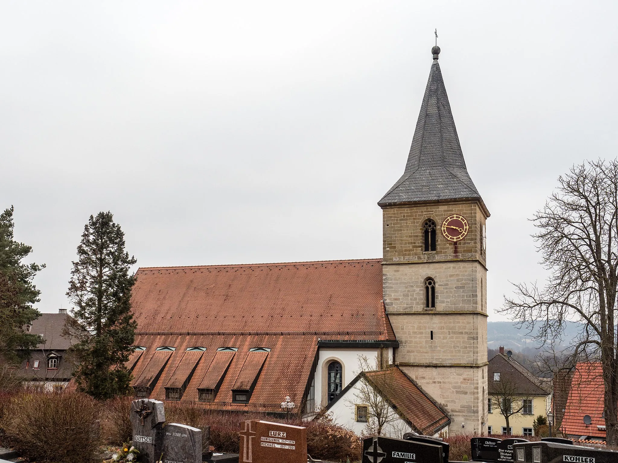
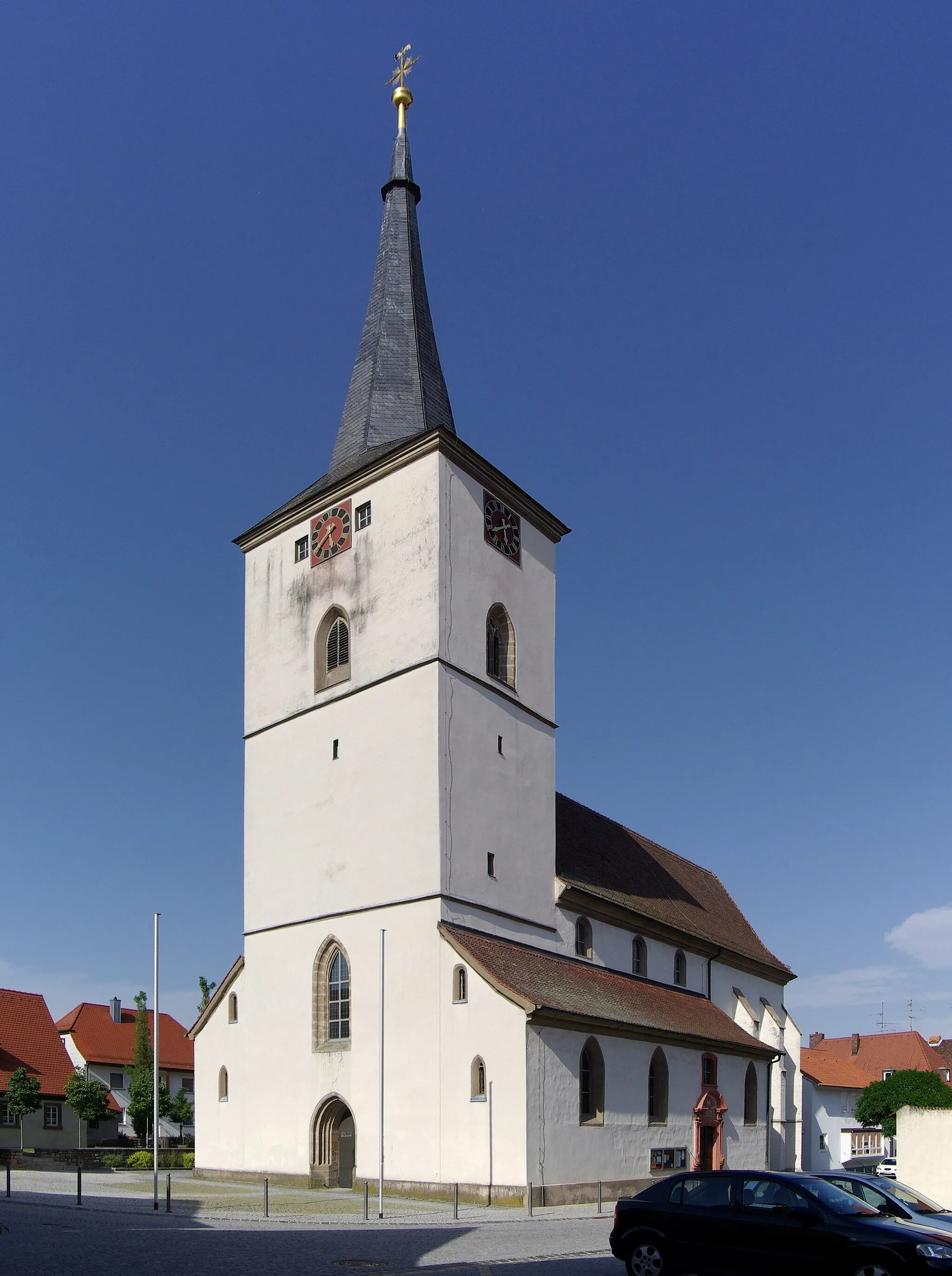
Start: Burgebrach Village centerBurgebrach: Discover the Charms of Franconian Countryside
Burgebrach in Oberfranken, Germany, offers a moderate cycling experience for road and gravel cyclists. The region consists of rolling hills and beautiful countryside, with well-paved roads that are ideal for cycling. Burgebrach is surrounded by picturesque vineyards and enchanting forests, providing a delightful backdrop for cycling adventures. While not home to any famous climbs, the area offers various routes for cyclists to explore, catering to different fitness levels. Burgebrach is a hidden gem for cyclists looking to discover the beauty of Bavaria and indulge in their love for outdoor exploration.0 km
0 km
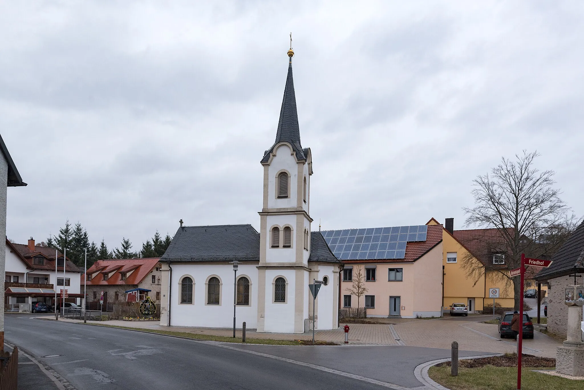
BurgebrachVillageStart your journey in Burgebrach, a charming town with a rich history dating back centuries.
15 km
15 km
ThüngfeldVillageMarvel at the scenic beauty of Thüngfeld, a peaceful village nestled amongst rolling hills and lush greenery.
35 km
35 km
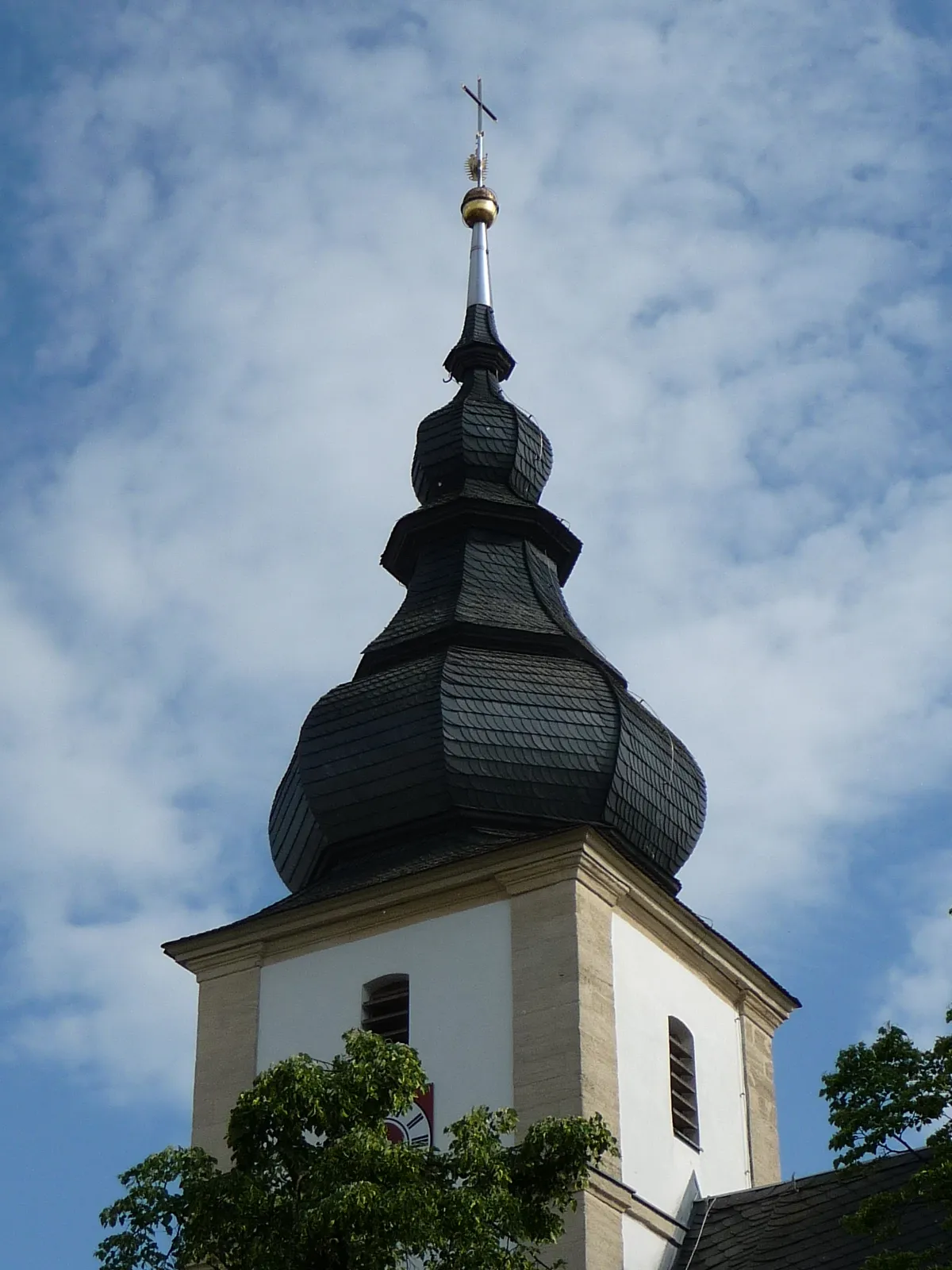
OberscheinfeldVillageReach Oberscheinfeld, a hidden gem offering magnificent views over the surrounding countryside.
37 km
37 km
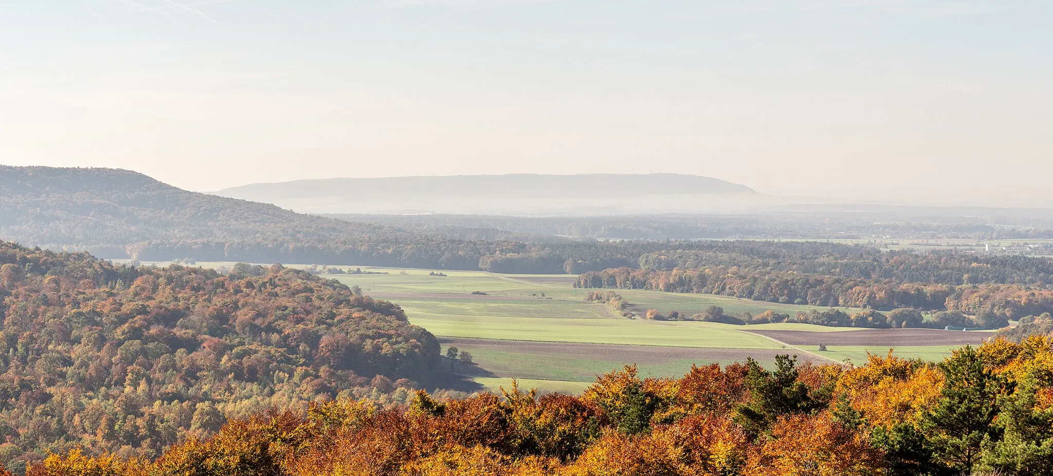
Rotes Hörnle445 mPeakStop at Rotes Hörnle, a renowned vantage point that provides breathtaking panoramic views of the entire region.
50 km
50 km
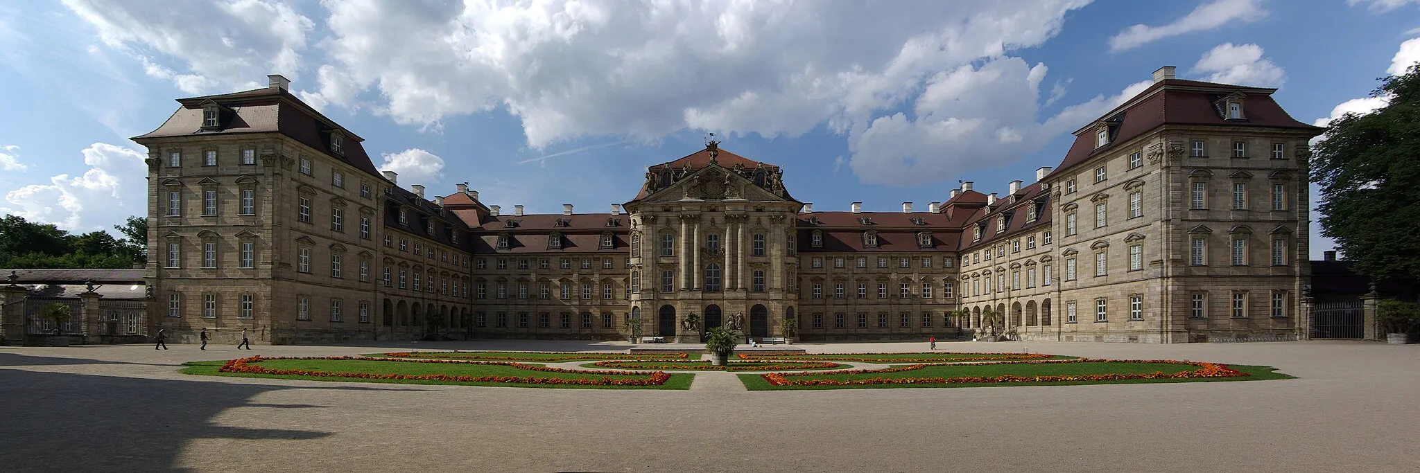
WiesentheidVillageExperience the charm of Wiesentheid, a quaint town with a stunning castle and picturesque streets.
63 km
63 km
Baumwipfelpfad TurmViewpointTake a detour to Baumwipfelpfad Turm, a unique treetop walkway offering unparalleled views of the surrounding forest.
65 km
65 km
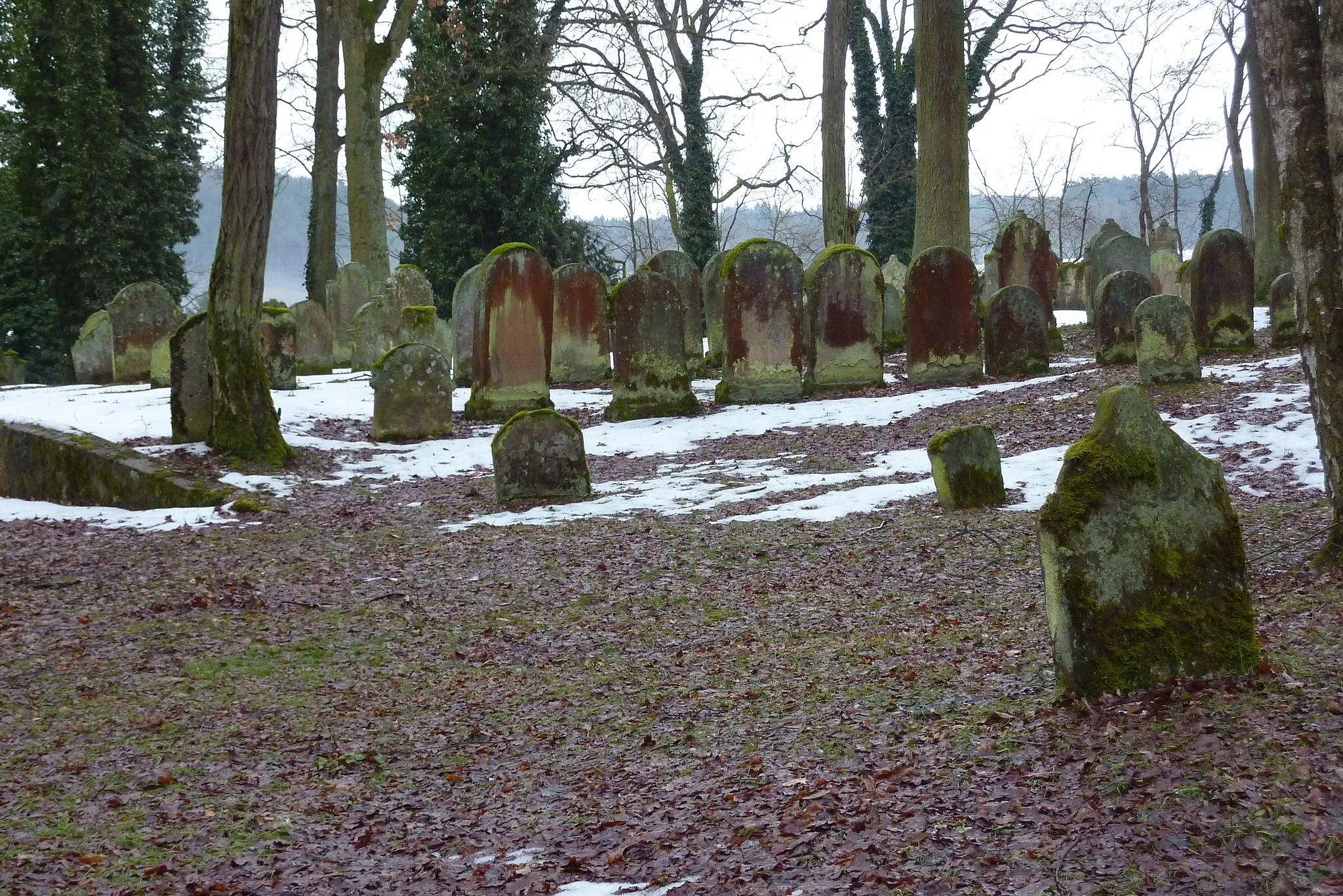
EbrachVillageExplore the historic monastery in Ebrach, known for its beautiful architecture and tranquil atmosphere.
84 km
84 km
Schönbrunn im SteigerwaldVillageAdmire the idyllic beauty of Schönbrunn im Steigerwald, a charming village surrounded by lush green fields and vineyards.
90 km
90 km
Finish: Burgebrach Village centerBurgebrach: Discover the Charms of Franconian Countryside
Cycling routes nearby: