Nature Escape
A gravel cycling route starting from Buttenheim
Immerse yourself in nature and discover hidden gems
Map
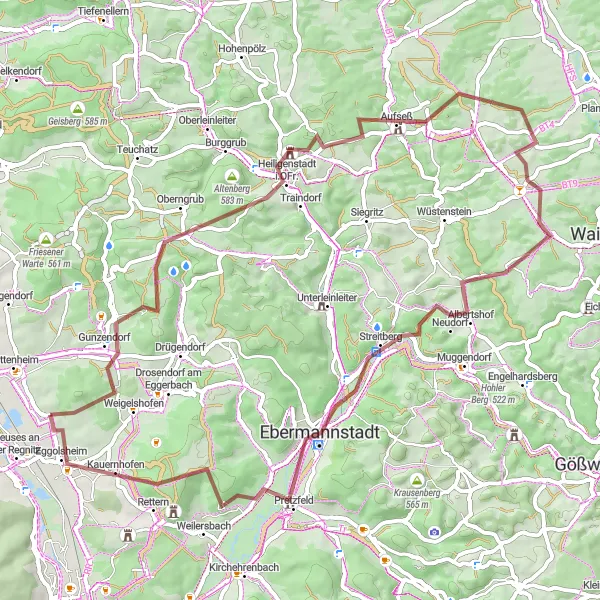
Embark on a gravel adventure through Oberfranken's scenic landscapes on this 64-kilometer cycling route. With an ascent of 1237 meters, the route provides a challenge suitable for well-trained amateur cyclists. Surrounded by picturesque hills and forests, riders will feel a sense of tranquility as they immerse themselves in nature. Highlights along the route include the Schießberg lookout point, the charming town of Gunzendorf, and the striking Galeriefelsen. The overall difficulty of this route is rated as 4 out of 5, as riders will face steep climbs and technical sections. The route has an epicness rating of 3 out of 5, showcasing the natural beauty and hidden gems of the area.
gravel
64 km
1237 m
Tough
Route profile
Highlights on the route
0 km
0 km
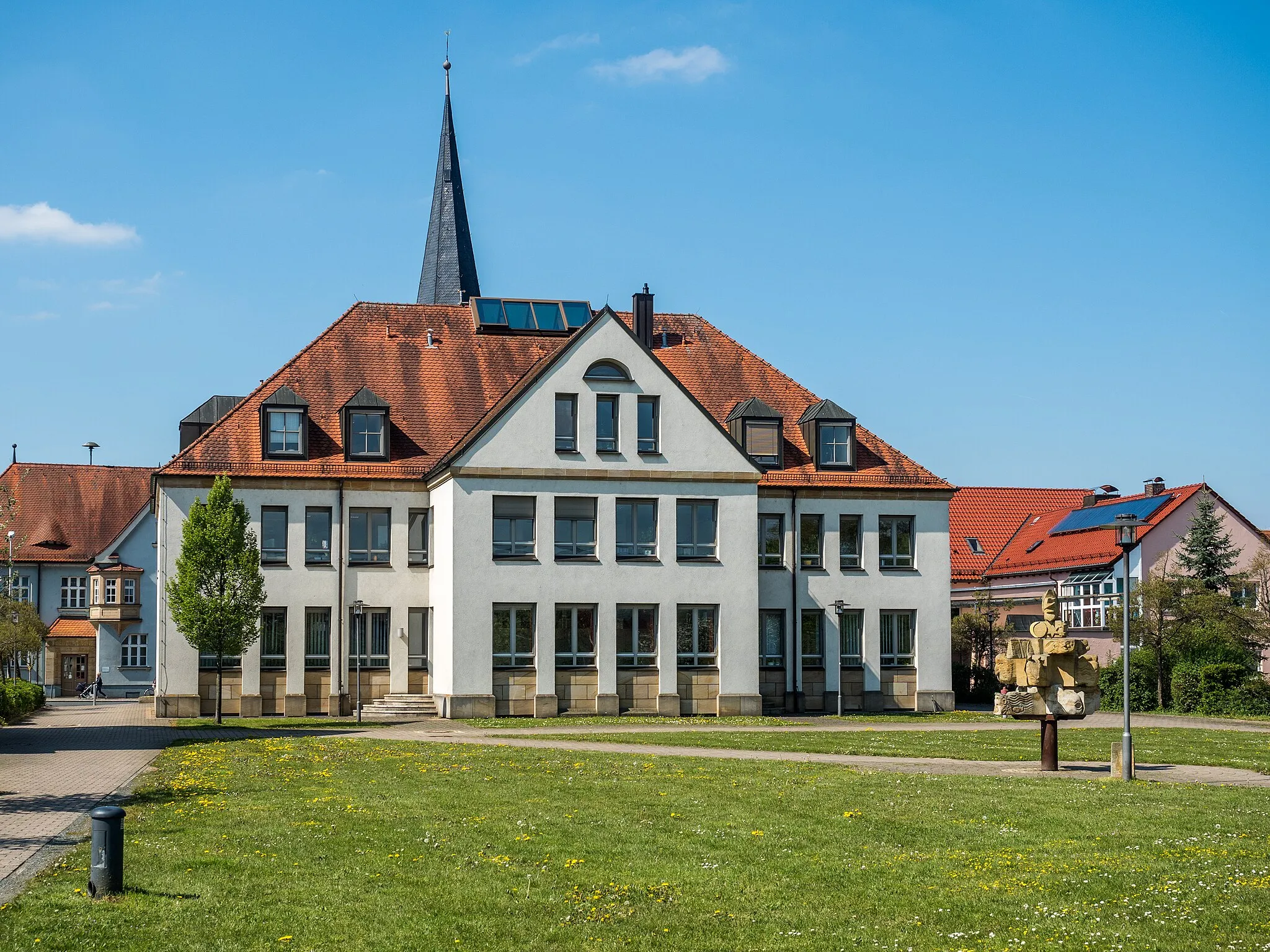
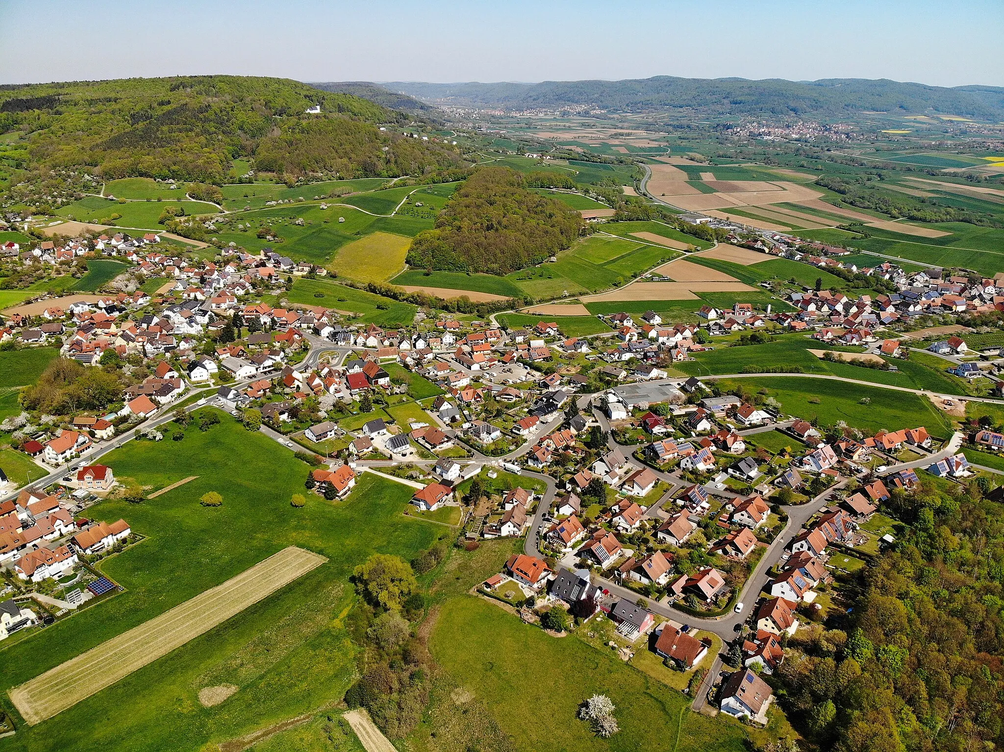
Start: Unterstürmig Village centerButtenheim: Enjoying the tranquility and natural beauty of Buttenheim on two wheels.
Buttenheim, located in Oberfranken, Germany, is a charming locality nestled in the picturesque countryside. As a cyclist, you can enjoy peaceful rides through rolling hills, vineyards, and quaint villages. Buttenheim provides a variety of cycling routes suitable for both road and gravel cyclists, with options for different skill levels. With a rank of 3, Buttenheim caters to cycling enthusiasts who appreciate tranquil rides amidst stunning natural beauty. Nearby, you can explore the Ochsenkopf mountain range, offering a range of climbs and trails suitable for various cycling preferences.1 km
1 km
Schießberg421 mPeakThe Schießberg lookout point offers stunning views of the surrounding landscapes, providing riders with a memorable experience and a chance to snap some breathtaking photos.
5 km
5 km
GunzendorfVillageGunzendorf, with its picturesque charm and well-preserved architecture, is a wonderful place to stop for a refreshing break and an opportunity to explore local history and culture.
15 km
15 km
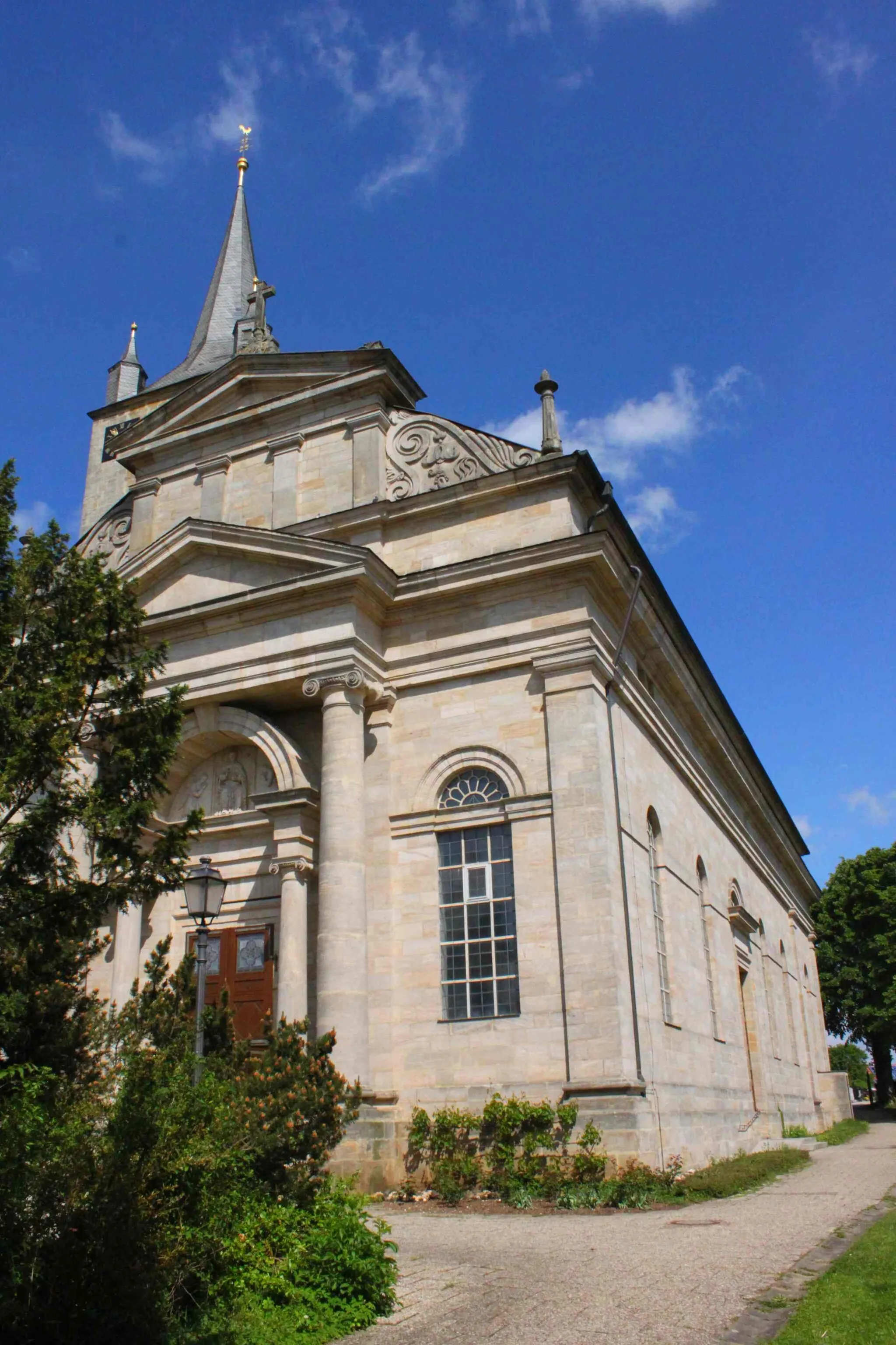
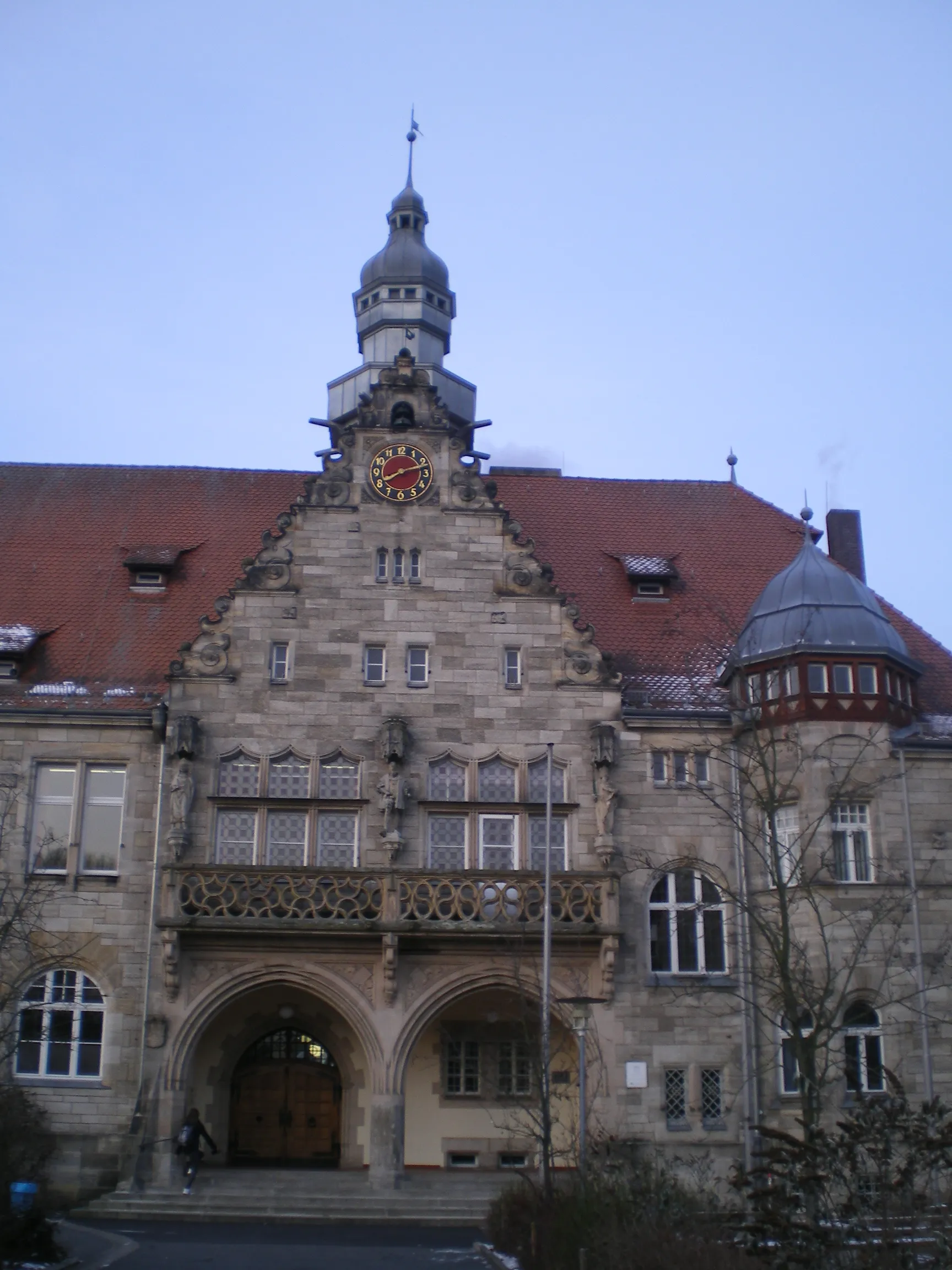
Heiligenstadt i.OFr.VillageHeiligenstadt i.OFr., nestled at the foot of a hill, is a small town with cobbled streets and historical buildings, inviting riders to stroll around and discover its hidden gems.
22 km
22 km
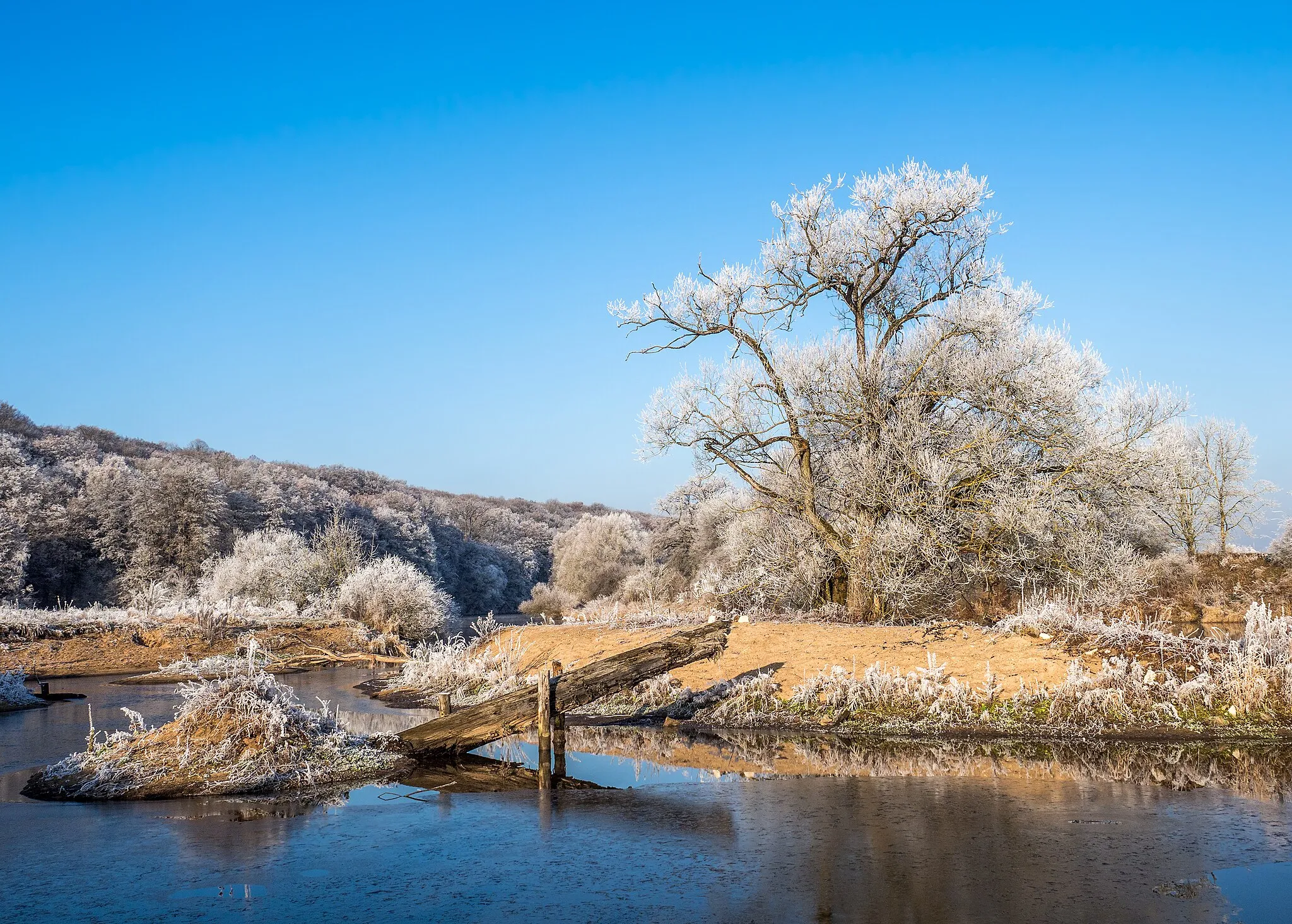
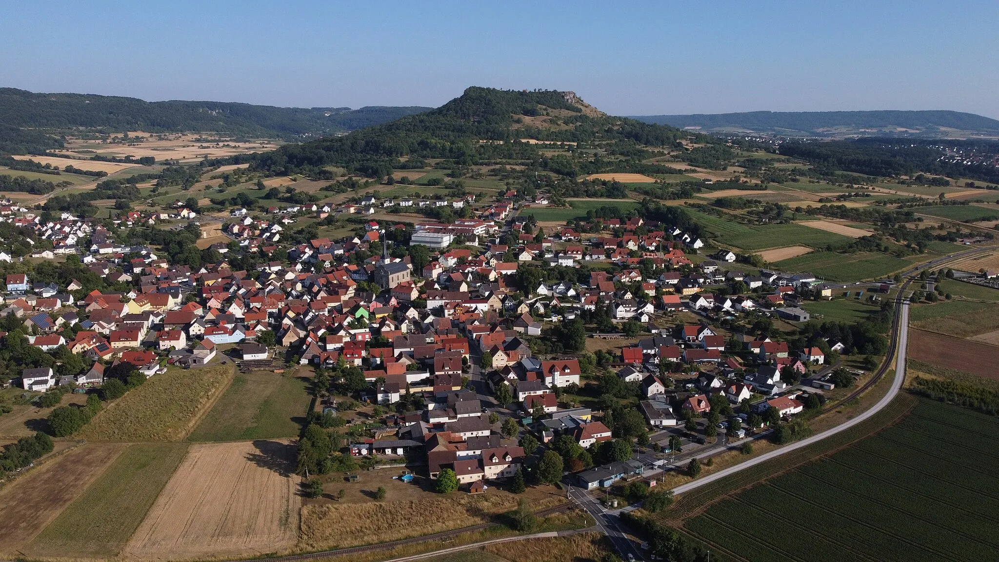
GaleriefelsenViewpointGaleriefelsen, a majestic rock formation, provides a peaceful and scenic resting spot and showcases nature's unique wonders.
39 km
39 km
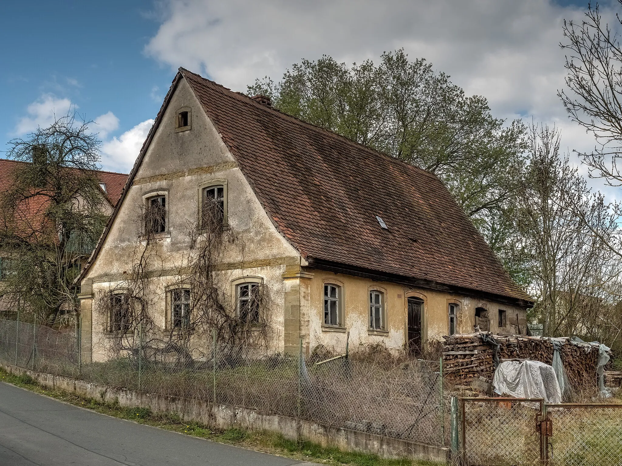
VoigendorfVillageVoigendorf welcomes cyclists with its idyllic countryside setting and charming rural character, offering riders a chance to experience traditional Bavarian village life.
42 km
42 km
Lindenberg499 mPeakLindenberg, a hidden gem in the region, boasts an impressive church and provides riders with a glimpse into the local architectural heritage.
52 km
52 km
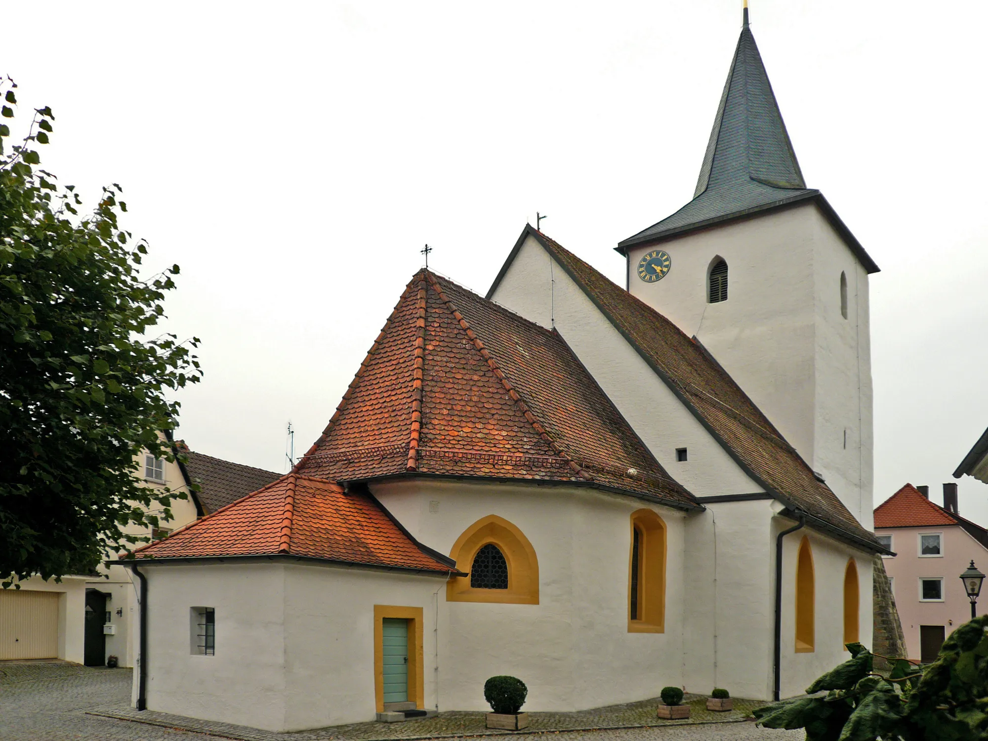
PretzfeldVillagePretzfeld is a historic town that captivates visitors with its well-preserved medieval buildings, picturesque marketplace, and rich cultural heritage.
59 km
59 km
Högelstein497 mPeakHögelstein, a striking rock formation surrounded by lush greenery, makes for a perfect spot to take a break and absorb the beauty of nature.
64 km
64 km
Finish: Unterstürmig Village centerButtenheim: Enjoying the tranquility and natural beauty of Buttenheim on two wheels.
Cycling routes from Buttenheim:
Gravel Adventure The Forchheim Adventure Nature Escape Dragonerspitz Challenge Eggenberg and Beyond Exploring Nature's Trail The Bamberg Challenge The Lindesberg Loop The Ebermannstadt Loop The Hirschaid Loop Bamberg and the Rolling Hills Buttenheim to Bamberg and back Buttenheim to Gößweinstein and Betzenstein
Cycling routes nearby: