Karst Landscape Gravel Challenge
A gravel cycling route starting from Grafenberg
A challenging gravel route through the breathtaking karst landscapes of Oberfranken.
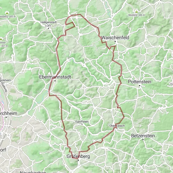
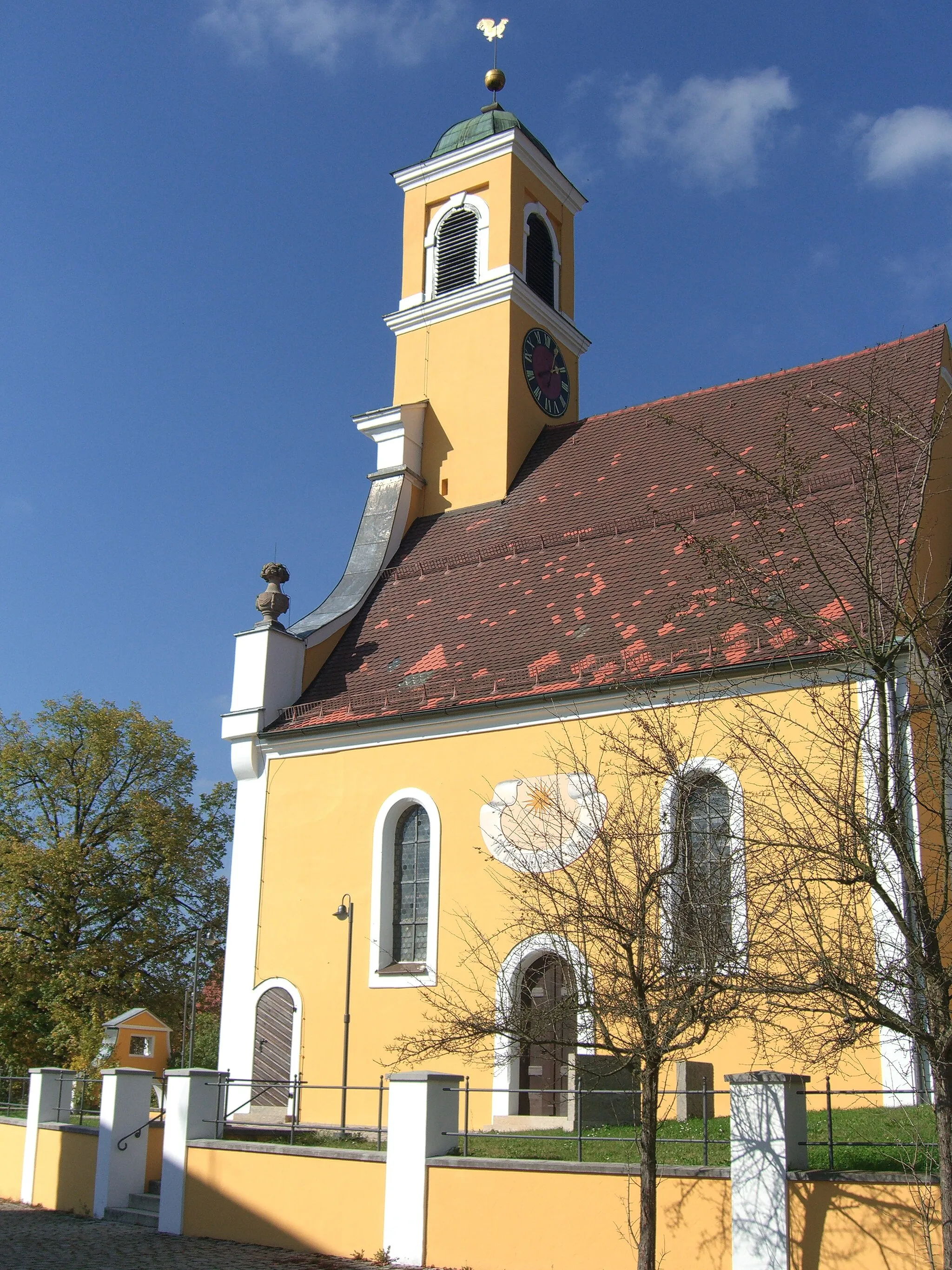
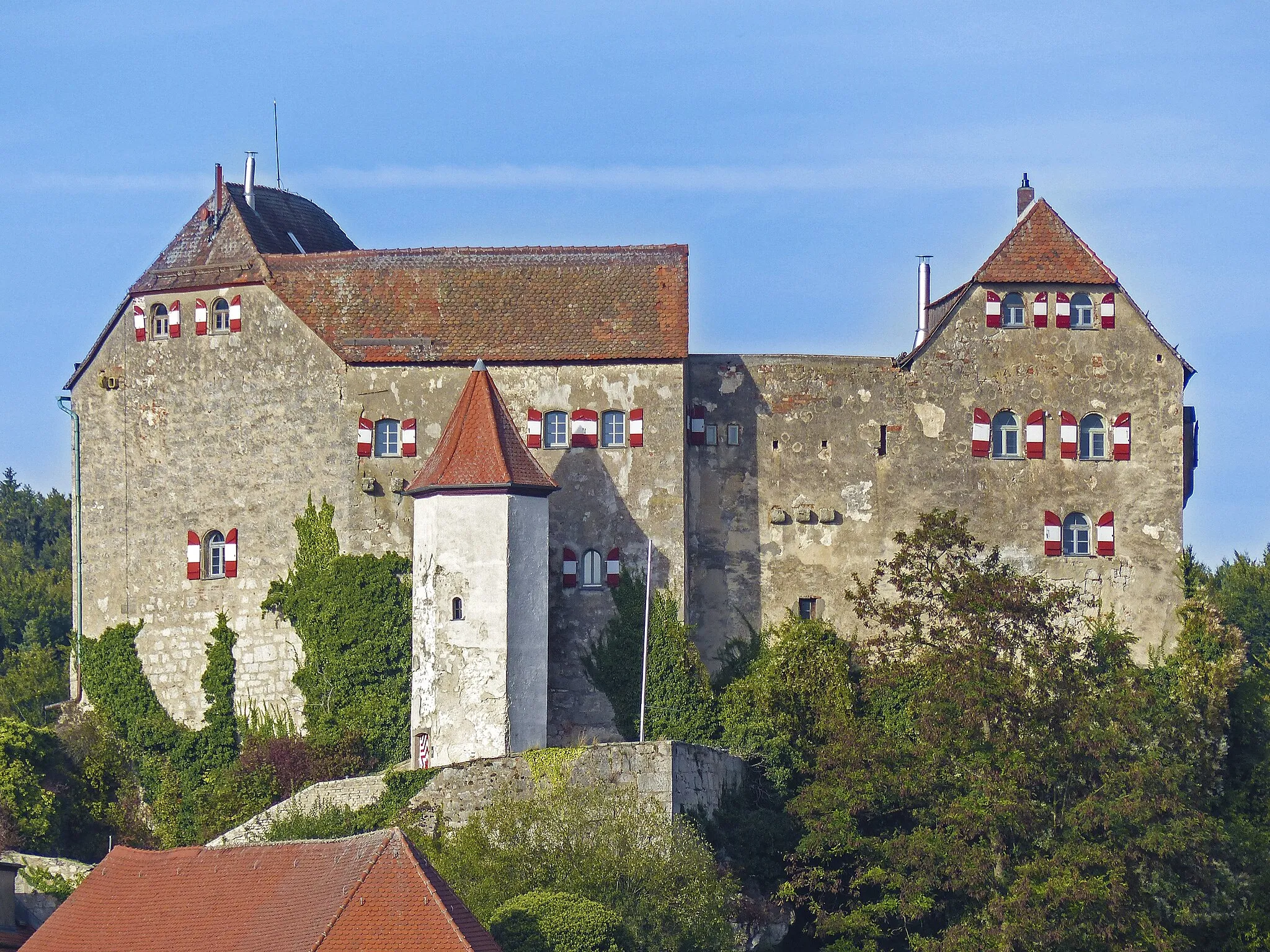
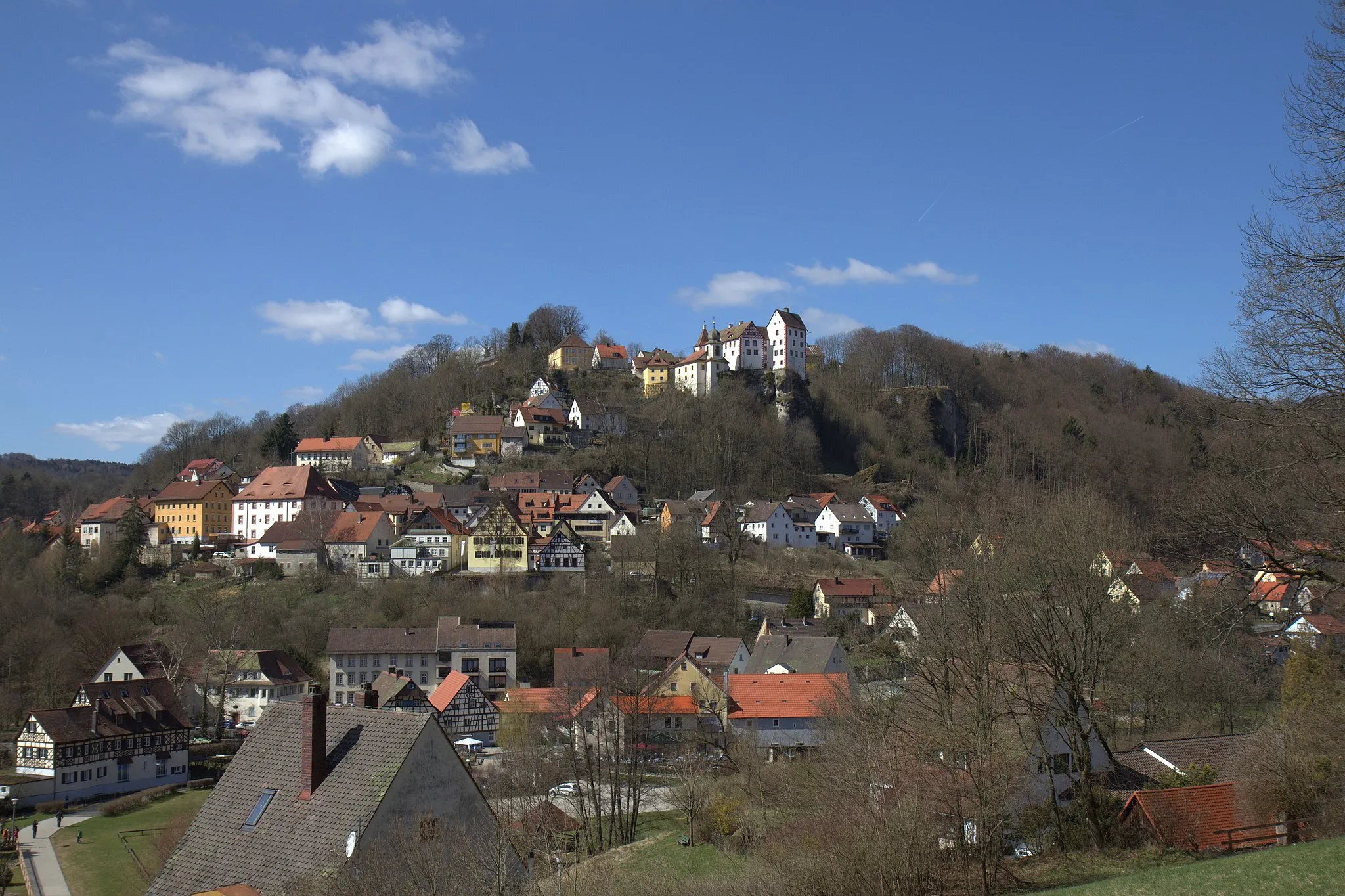
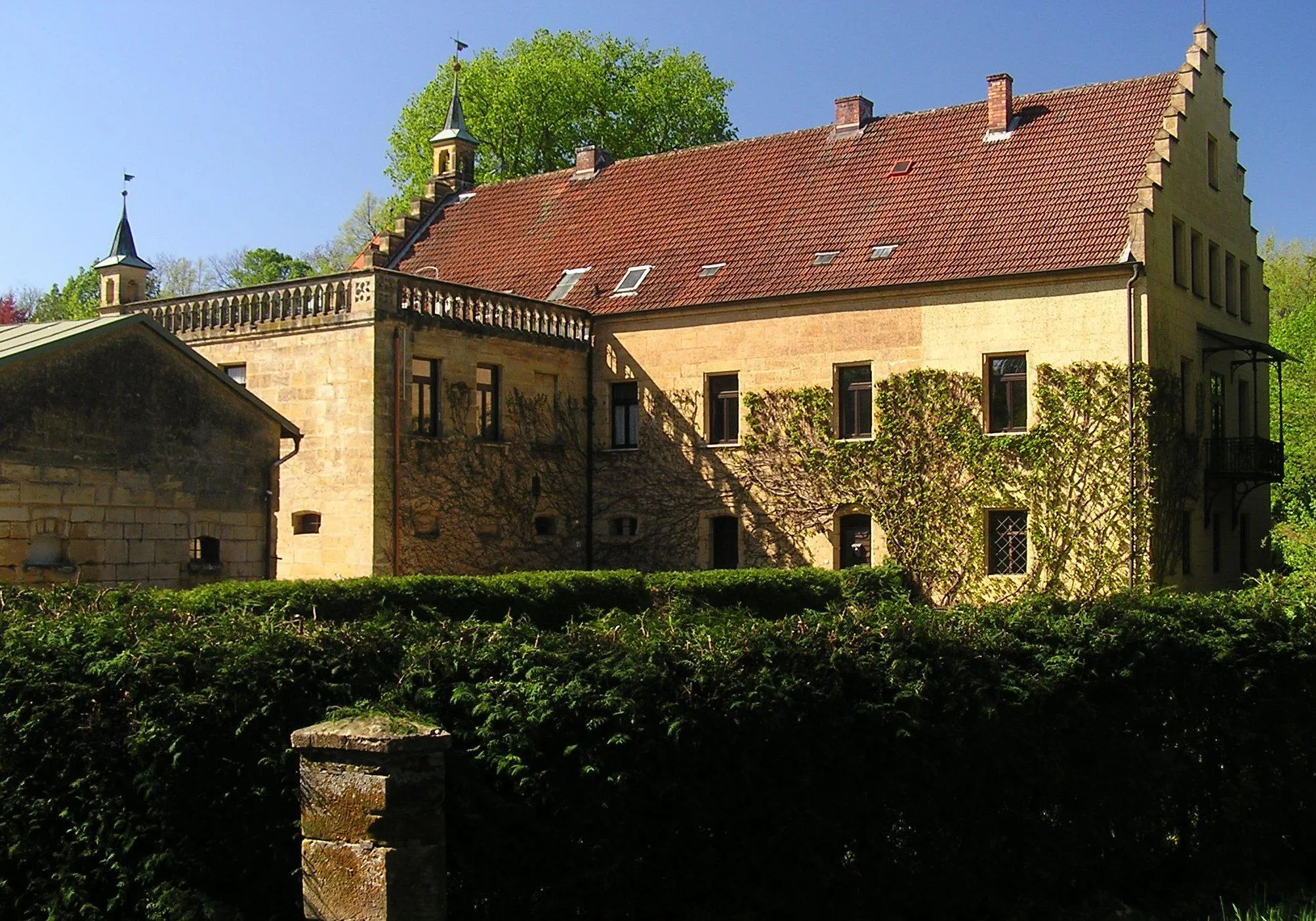
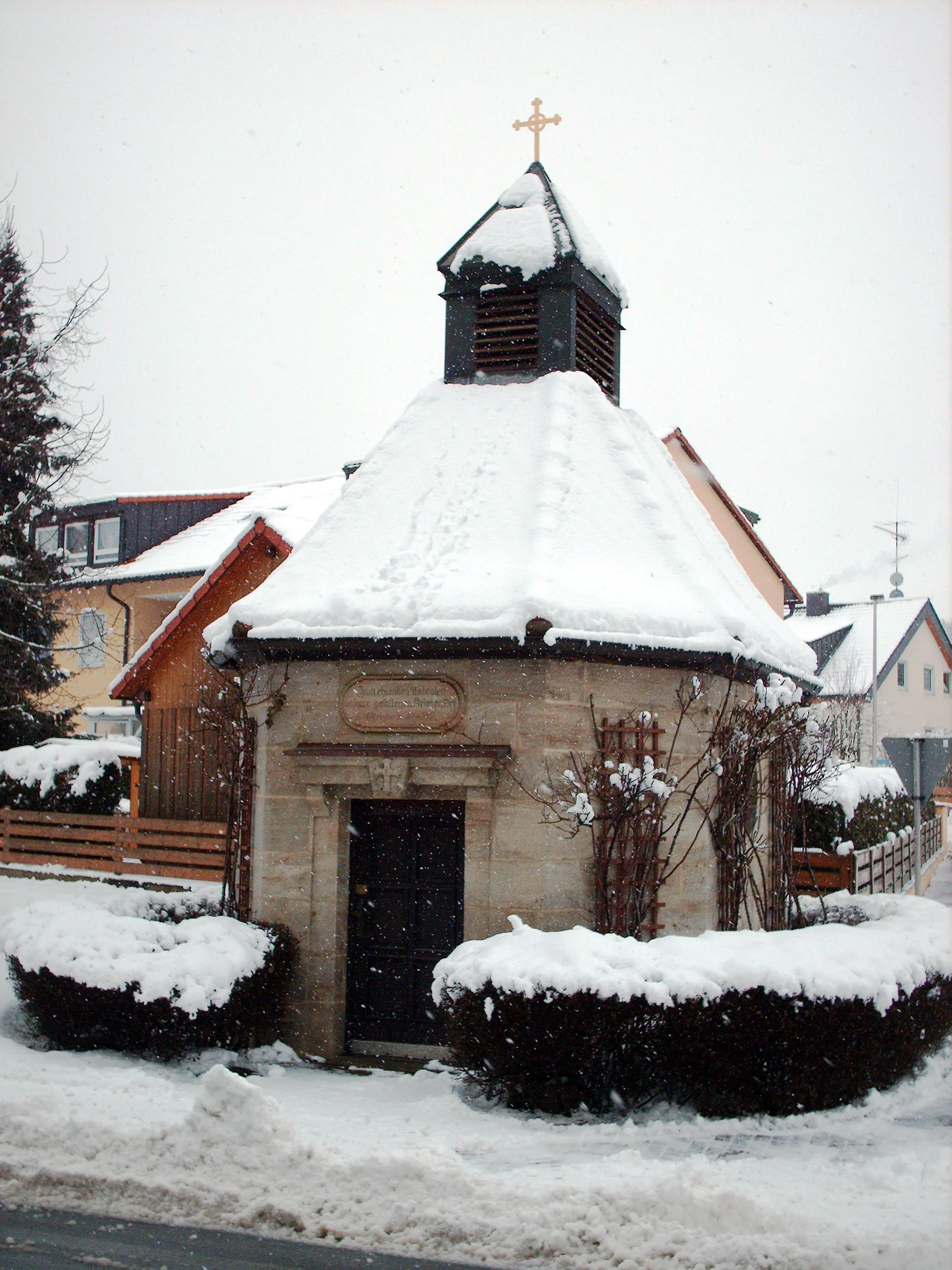
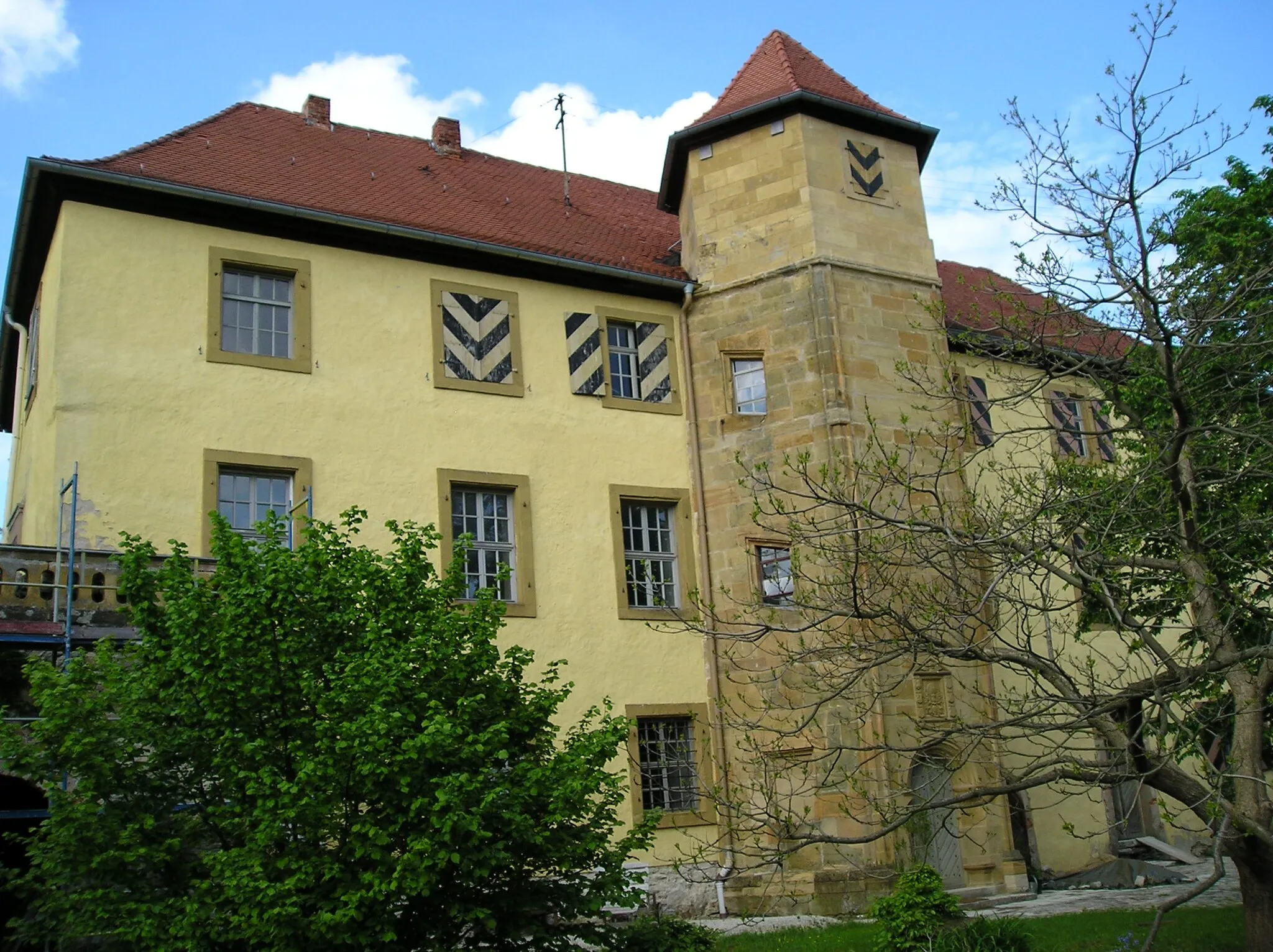
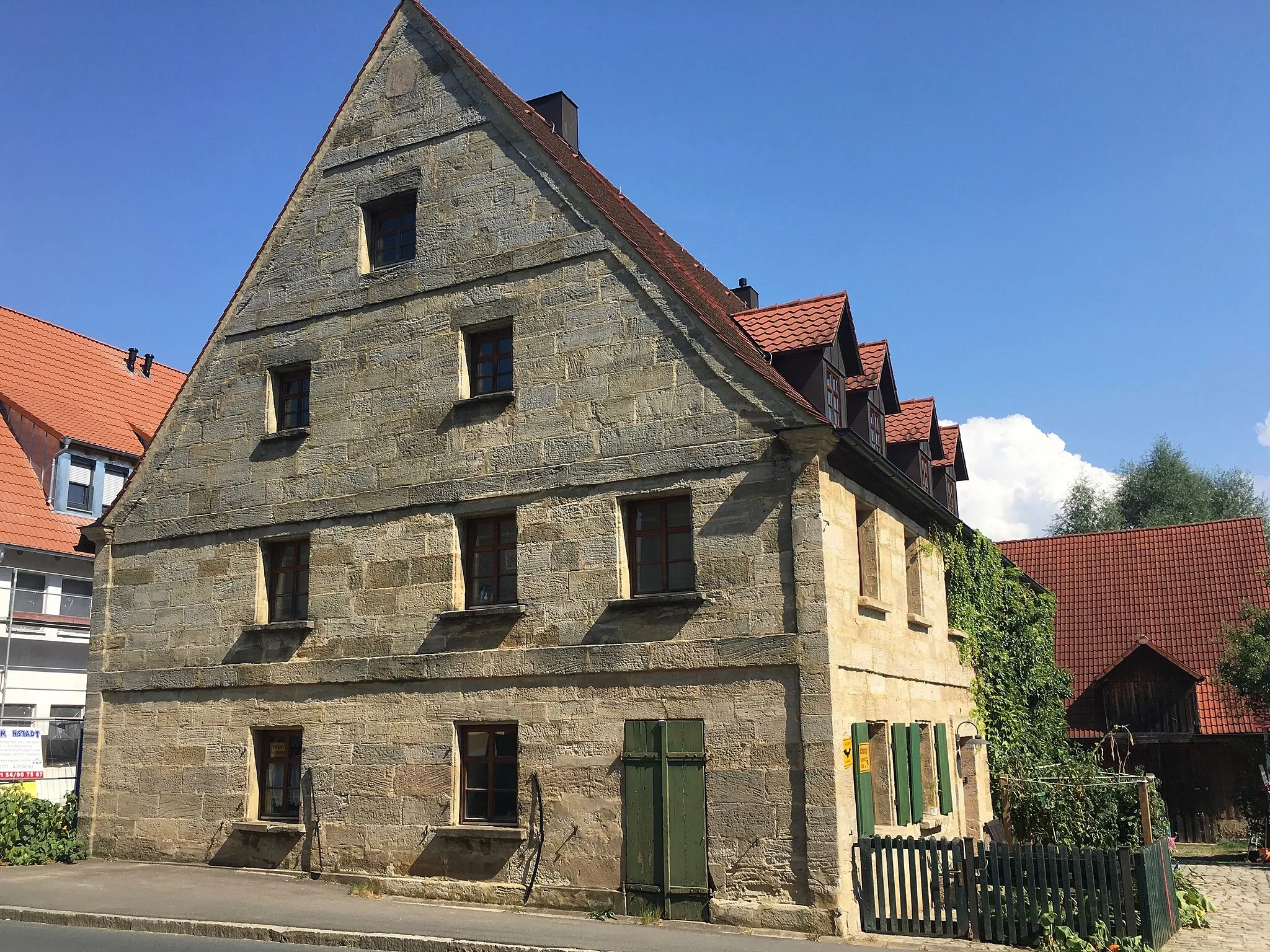
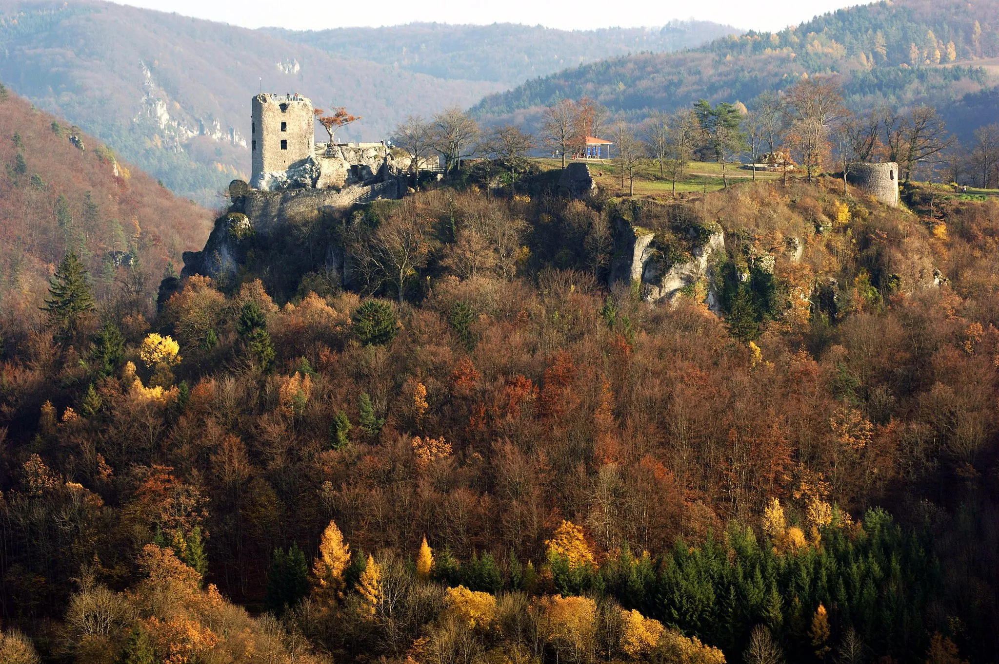
Embark on a thrilling and challenging gravel route through the mesmerizing karst landscapes of Oberfranken. Spanning 84km with an ascent of 1631m, this route is perfect for experienced riders seeking an epic adventure. Highlights of this breathtaking journey include Haidhof, Brand, Unterleinleiter, Totenstein, and Freistein. With a difficulty rating of 5 and an epicness score of 4, this route is not for the faint-hearted but guarantees unparalleled cycling satisfaction. Unveil the secrets of karst landscapes: The Karst landscapes of Oberfranken are a unique and awe-inspiring natural phenomenon. This gravel route will take you through hidden caves, limestone cliffs, and crystal-clear streams, providing you with an unforgettable experience of nature's wonders. Discover the remote village of Haidhof and relish the breathtaking views of the brandywine-dominated landscape. Explore Brand, a picturesque village renowned for its traditional architecture and warm hospitality. Pass through Unterleinleiter and indulge yourselves in the beauty of the limestone cliffs that dominate this stunning karst region. Enjoy the challenge of climbing Totenstein and reward yourself with panoramic vistas over the magnificent karst landscapes. Discover the iconic Freistein and its impressive limestone formations that testify to millions of years of geological history.
Highlights on the route
Cycling routes from Grafenberg:
Cycling routes nearby: