Gräfenberg Circuit
A road cycling route starting from Grafenberg
Experience the scenic beauty of Oberfranken on this challenging road cycling route.
Map

The Gräfenberg Circuit is a challenging road cycling route that offers stunning views of the Oberfranken region. With a total distance of 61 kilometers and an elevation gain of 1091 meters, this route is suitable for experienced cyclists looking for a challenging ride. The route starts near Gräfenberg and takes cyclists through picturesque villages and countryside. Highlights along the route include the Signalstein, Kleingesee, Bronn, Plech, Hohe Reuth, Simmelsdorf, Wache, and the Kriegerdenkmal. These highlights offer opportunities to take a break, enjoy the scenery, and learn about the local history and culture.
road
61 km
1091 m
Tough
Route profile
Highlights on the route
0 km
0 km
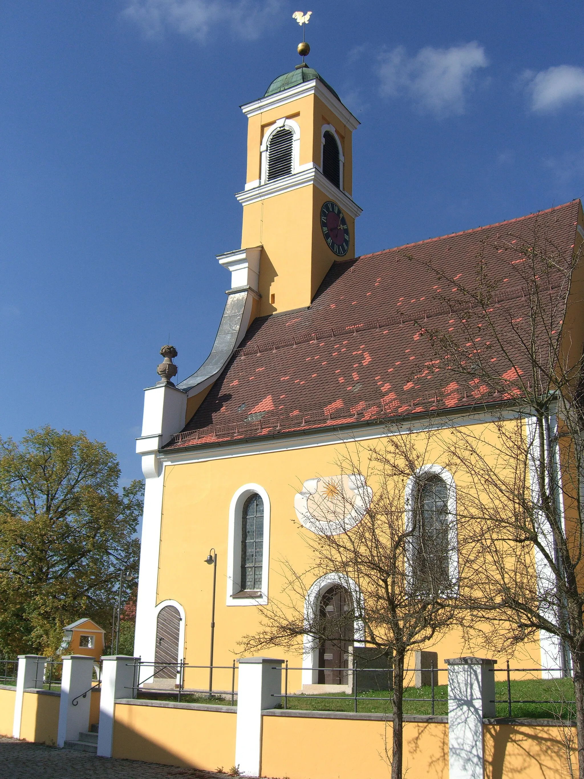
Start: Gräfenbergerhüll Village centerGräfenberg: Home to the legendary Gräfenberg-Mugello-Straße climb and scenic landscapes.
Gräfenberg, located in Oberfranken, Germany, is a cycling paradise known for its legendary climb, the Gräfenberg-Mugello-Straße. This challenging ascent attracts experienced cyclists seeking a thrilling ride and rewarding views at the top. Apart from the famous climb, Gräfenberg offers a range of cycling routes suitable for both road and gravel cyclists. The locality is surrounded by scenic landscapes and picturesque villages, making it an ideal base for cycling enthusiasts. With its cycling-friendly atmosphere and renowned climb, Gräfenberg earns a high rank among cycling destinations.7 km
7 km
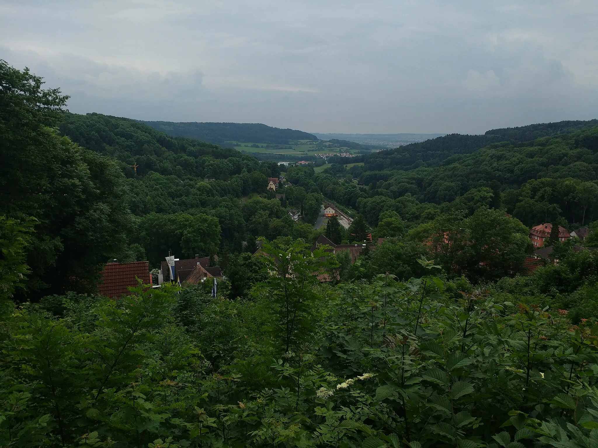
SignalsteinViewpointAt 7 kilometers into the route, you will reach the Signalstein, which offers panoramic views of the surrounding area.
12 km
12 km
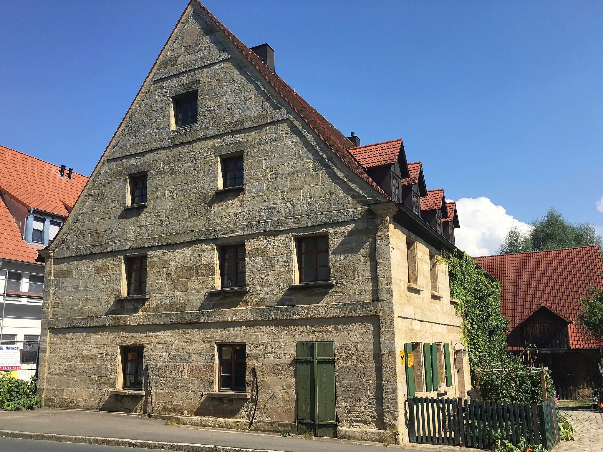
KleingeseeVillageKleingesee, at 12 kilometers into the route, is a charming village with traditional Franconian architecture.
23 km
23 km
BronnVillageBronn, at 23 kilometers into the route, is known for its beautiful landscapes and rural charm.
37 km
37 km
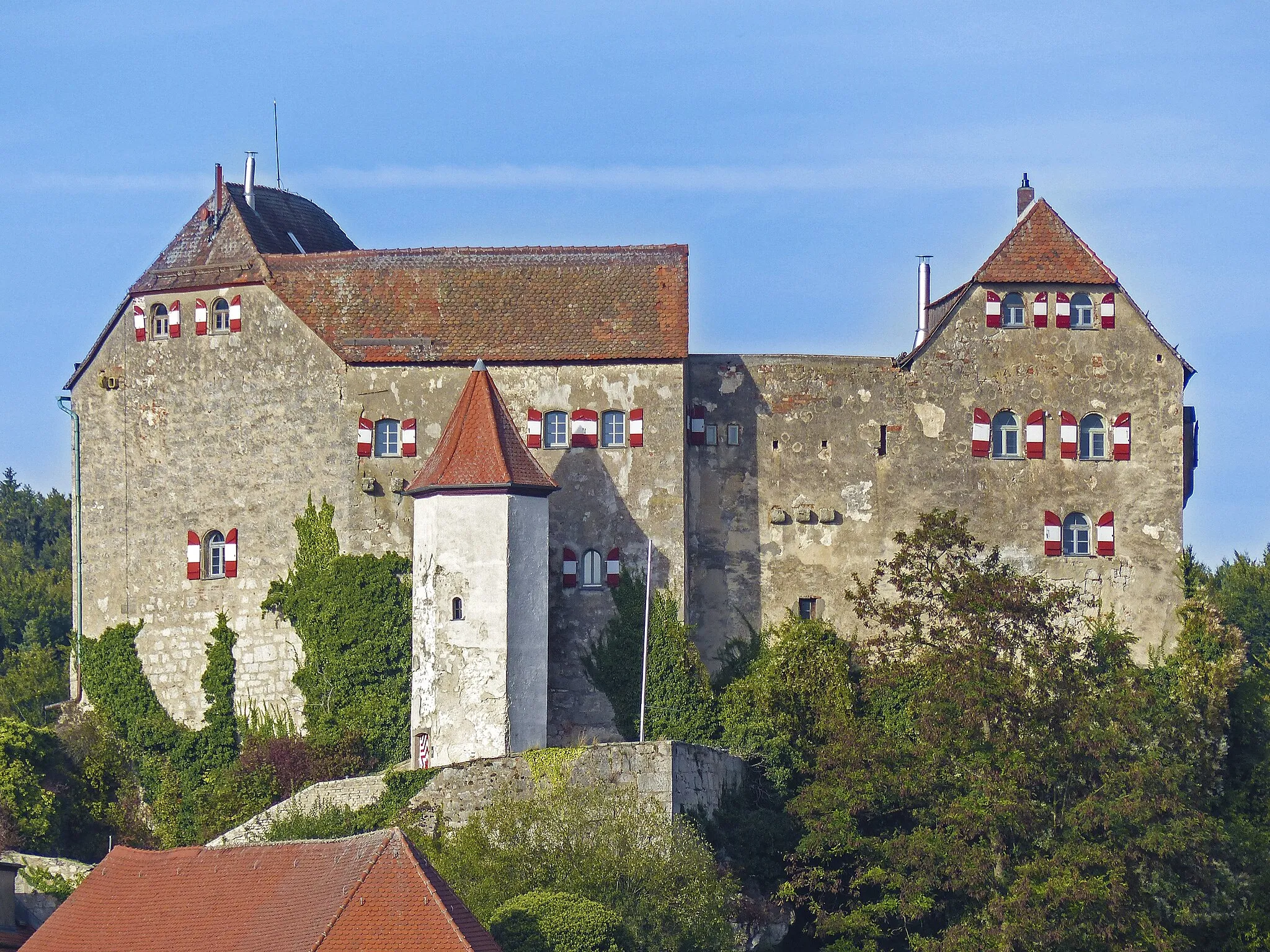
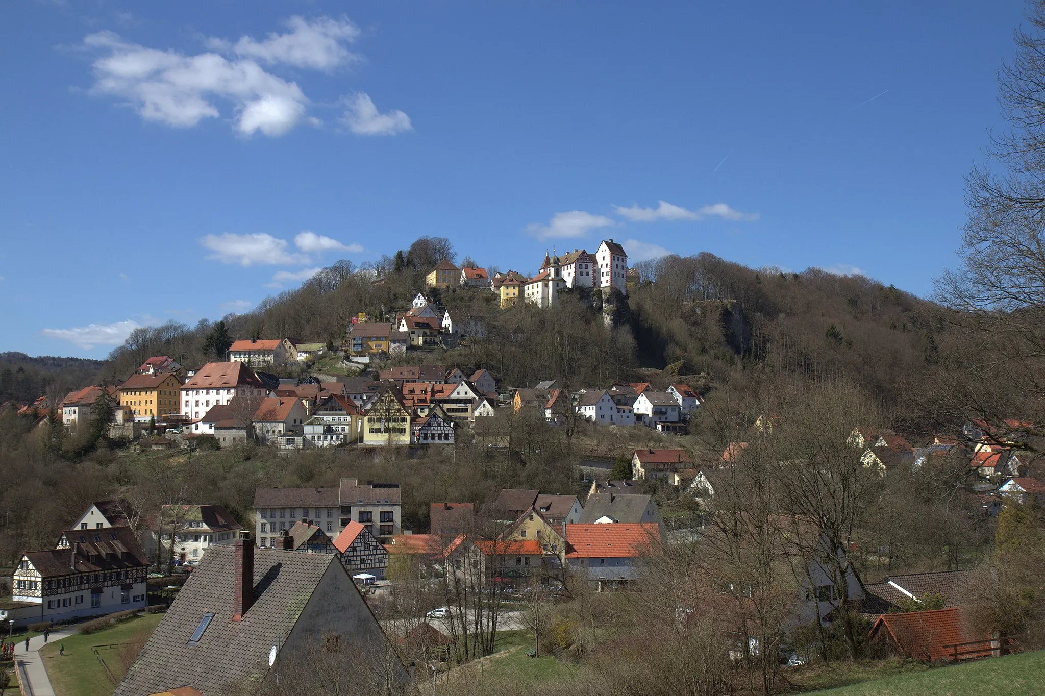
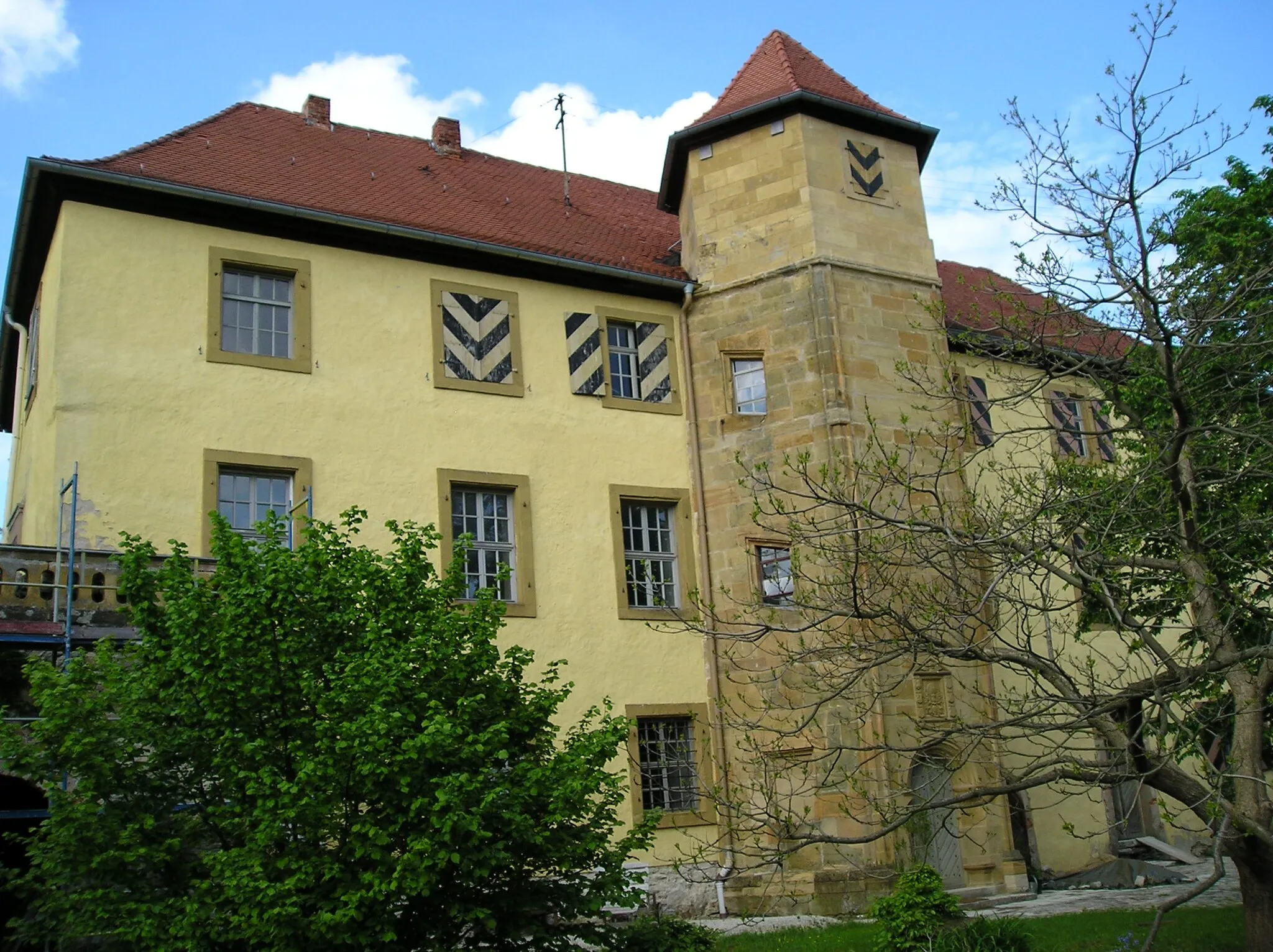
PlechVillagePlech, at 37 kilometers into the route, is a historic town with a picturesque old town center.
42 km
42 km
Hohe Reuth637 mPeakHohe Reuth, at 42 kilometers into the route, offers breathtaking views of the surrounding hills and valleys.
50 km
50 km
SimmelsdorfVillageSimmelsdorf, at 50 kilometers into the route, is a quaint village with traditional Franconian architecture.
53 km
53 km
Wache492 mPeakWache, at 53 kilometers into the route, is home to a historic watchtower that offers panoramic views of the region.
58 km
58 km
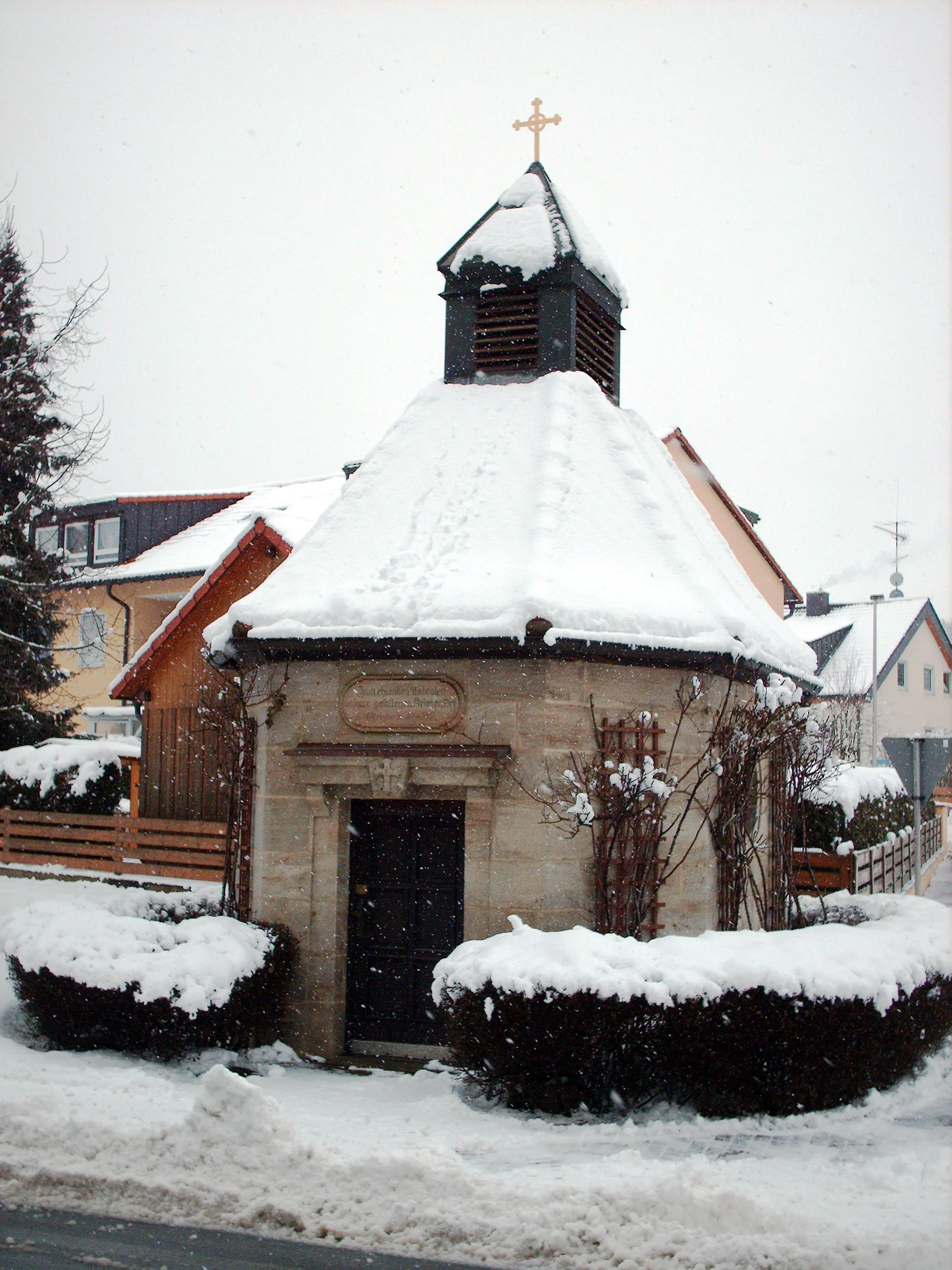
KriegerdenkmalAttractionAt 58 kilometers into the route, you will find the Kriegerdenkmal, a war memorial with a significant historical significance.
61 km
61 km
Finish: Gräfenbergerhüll Village centerGräfenberg: Home to the legendary Gräfenberg-Mugello-Straße climb and scenic landscapes.
Cycling routes from Grafenberg:
Gräfenberg Gravel Adventure Oberfranken Road Cycling Challenge Discover Upper Trubach Valley The Beauty of Hiltpoltstein Karst Landscape Gravel Challenge From Gräfenberg to Weißenohe and back Gräfenberg Circuit Scenic adventure through Signalstein and Simmelsdorf Adventure through Hiltpoltstein and Betzenstein Gräfenberg Explorer Gräfenberg Loop
Cycling routes nearby: