Countryside Road Cycling Tour
A road cycling route starting from Gundelsheim
Explore the stunning countryside near Gundelsheim on this road cycling tour.
Map
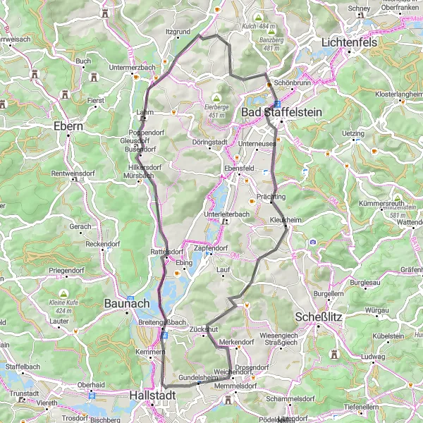
Discover the peaceful countryside near Gundelsheim with this road cycling tour. The route covers a distance of 66 kilometers and includes a total ascent of 461 meters. Along the way, you'll encounter highlights such as Breitengüßbach, Rattelsdorf, Himmelreich, Bad Staffelstein, Ansberg, Oberoberndorf, and Zückshut. Immerse yourself in the natural beauty and cultural heritage of each stop, and enjoy the tranquility of the countryside.
road
66 km
461 m
Tough
Route profile
Highlights on the route
0 km
0 km
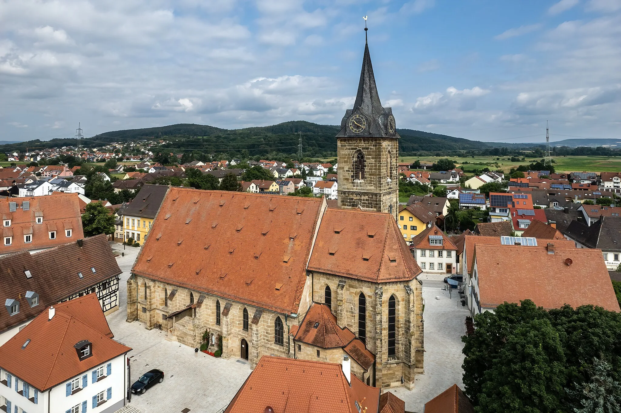
Start: Gundelsheim Village centerGundelsheim: Conquer the Challenging Staffelberg Climb in Scenic Oberfranken
Gundelsheim is a locality in the Oberfranken region of Germany. From a cyclist's perspective, Gundelsheim offers a mix of scenic routes and challenging terrains. The area features rolling hills, vineyards, and picturesque landscapes, providing cyclists with beautiful views during their rides. Additionally, Gundelsheim is located near the famous climb of Staffelberg, known for its steep incline and stunning vistas. With its combination of scenic beauty and challenging climbs, Gundelsheim is a must-visit destination for cycling enthusiasts.6 km
6 km
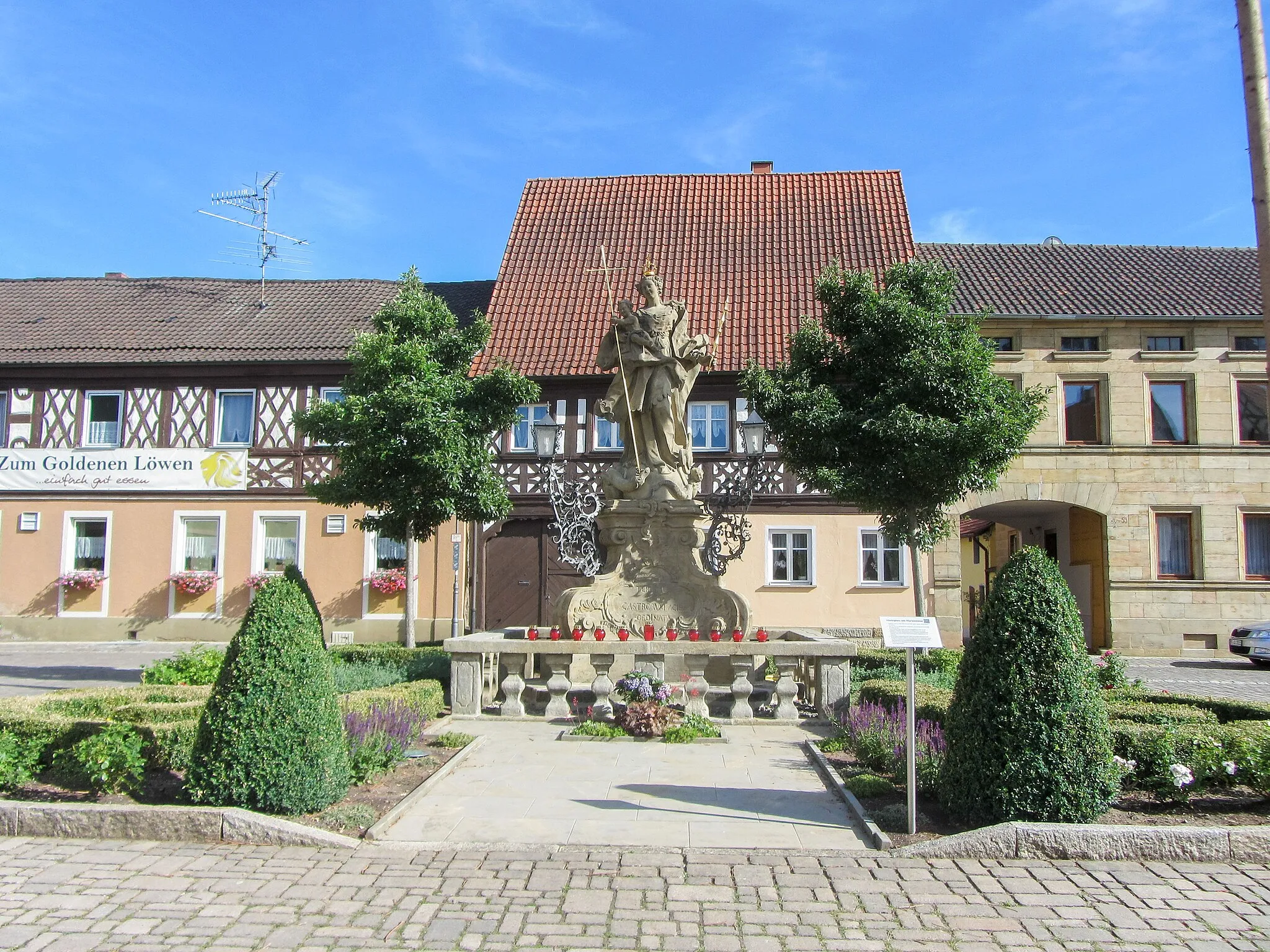
BreitengüßbachVillageVisit Breitengüßbach, a charming village with historical buildings and beautiful surroundings.
12 km
12 km
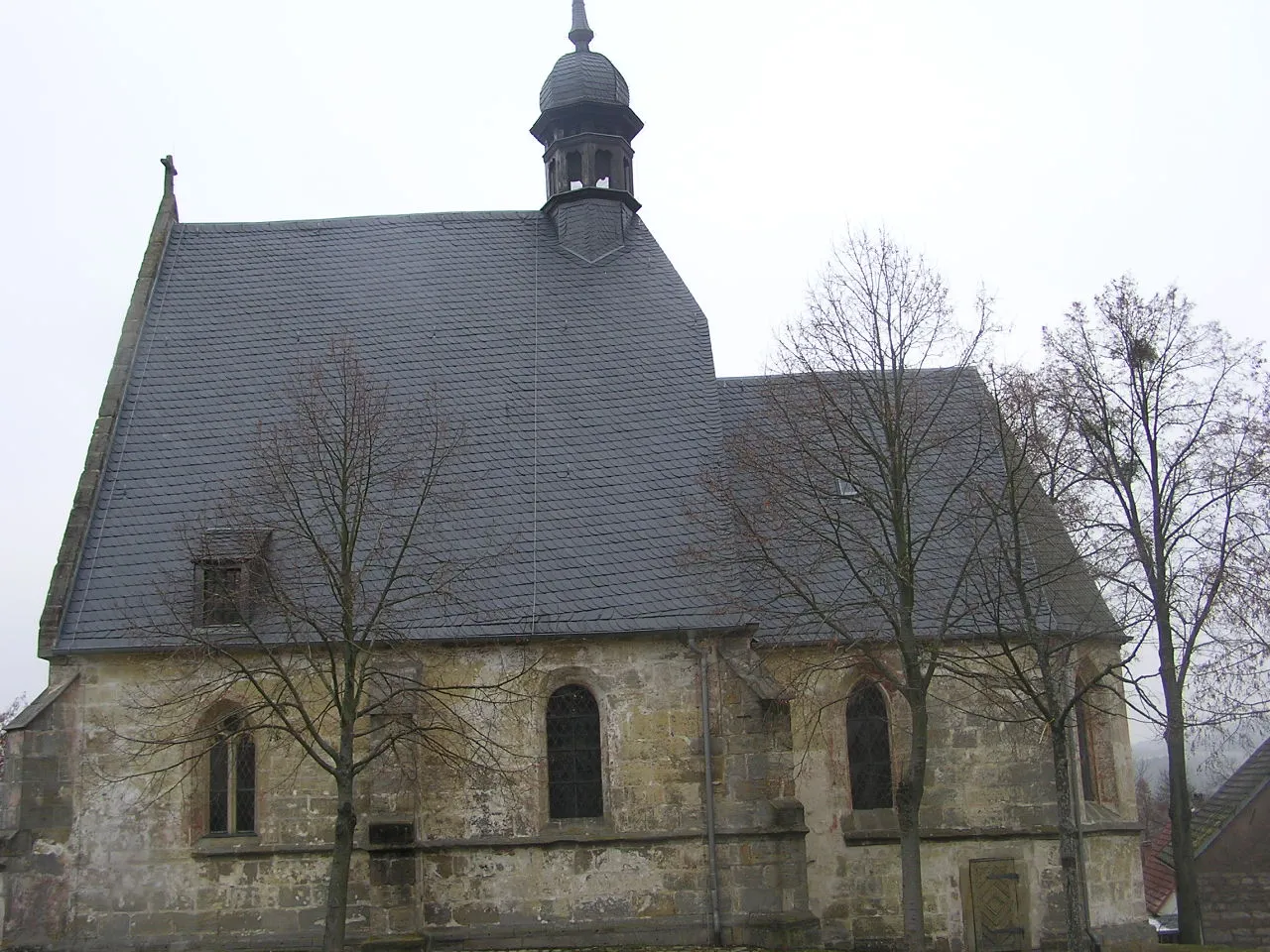
RattelsdorfVillageExplore Rattelsdorf, a quaint town known for its picturesque landscapes and friendly atmosphere.
26 km
26 km
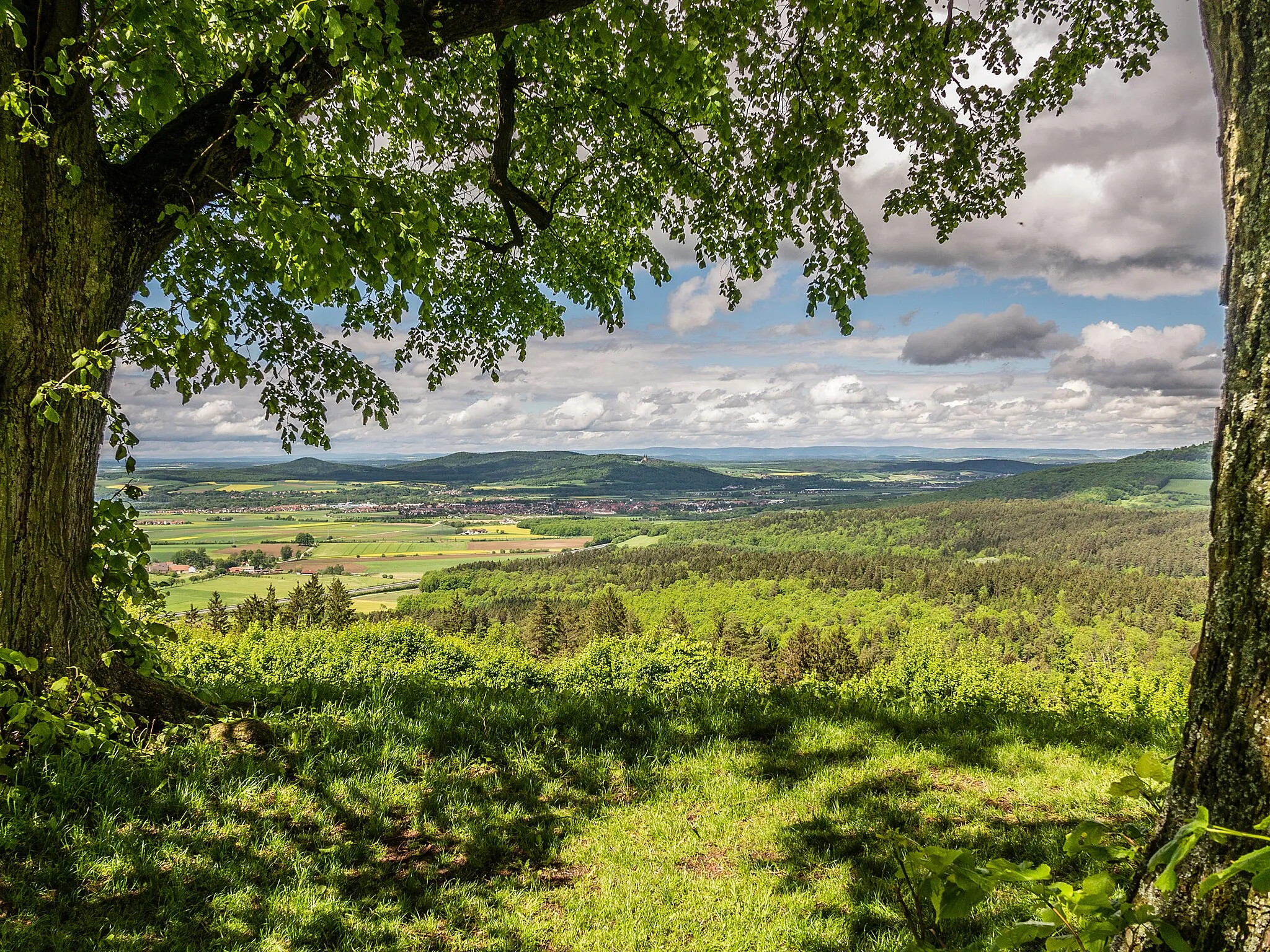
HimmelreichViewpointPass through Himmelreich, a small village surrounded by rolling hills and lush green meadows.
39 km
39 km
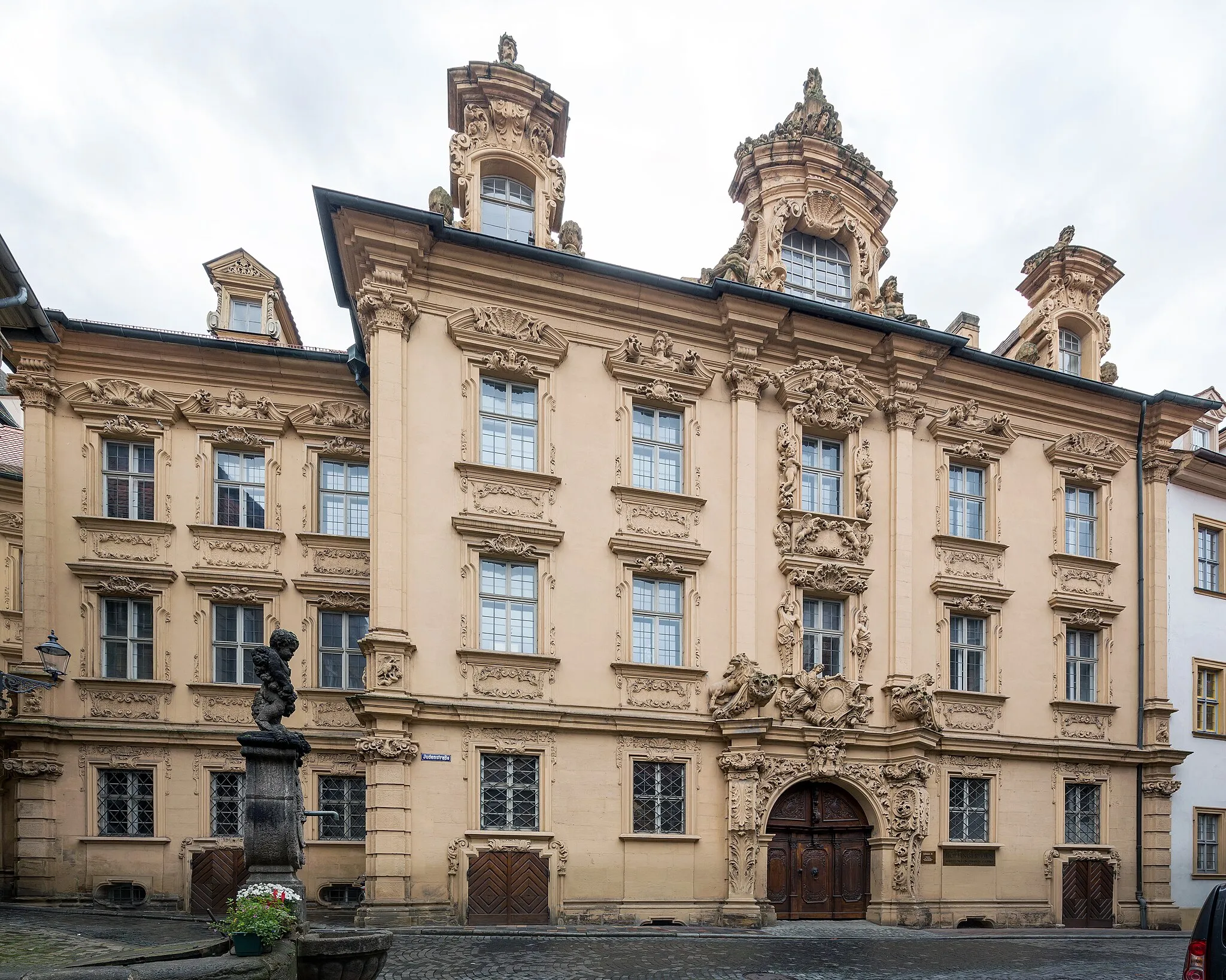
Bad StaffelsteinTownDiscover Bad Staffelstein, a famous spa town renowned for its healing thermal waters and beautiful landscape.
45 km
45 km
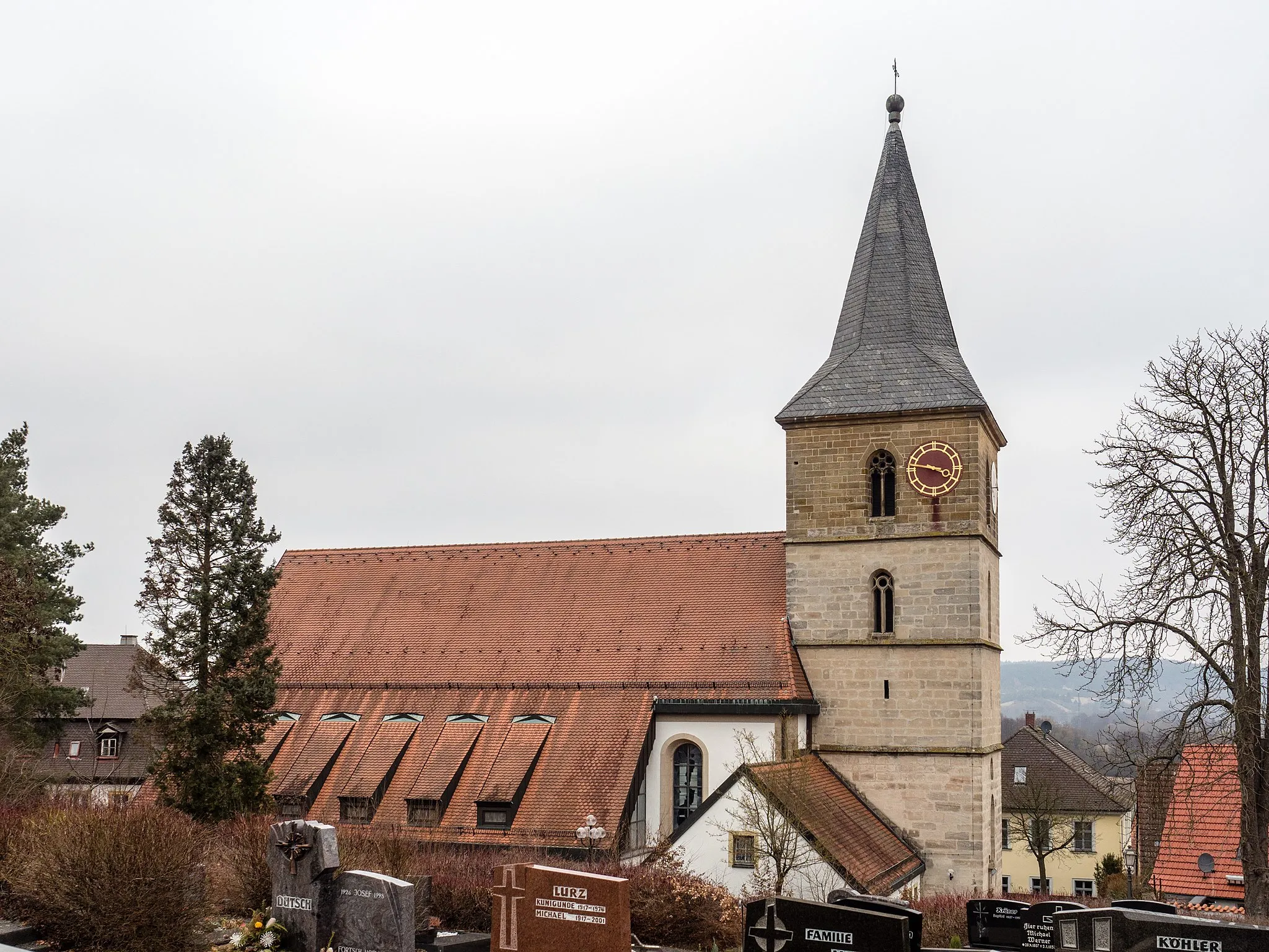
Ansberg460 mPeakMake a stop at Ansberg and admire its historical buildings, including the impressive St. Nikolaus Church.
52 km
52 km
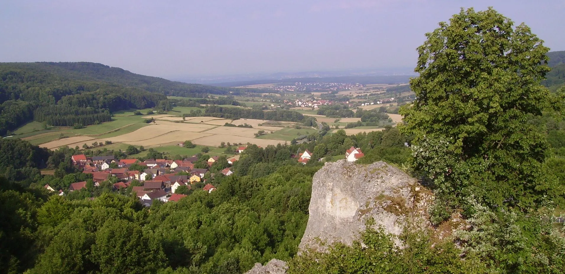
OberoberndorfVillageClimb Oberoberndorf and enjoy panoramic views of the surrounding countryside.
60 km
60 km
ZückshutVillageEnd your tour at Zückshut and take in the beauty of its scenic landscapes.
66 km
66 km
Finish: Gundelsheim Village centerGundelsheim: Conquer the Challenging Staffelberg Climb in Scenic Oberfranken
Cycling routes from Gundelsheim:
Cycling routes nearby: