Scenic Road Cycling Journey
A road cycling route starting from Gundelsheim
Embark on a scenic road cycling journey through picturesque landscapes near Gundelsheim.
Map
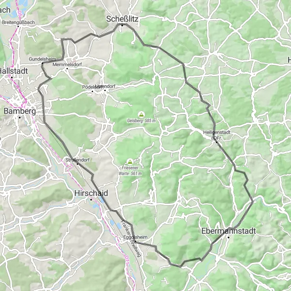
Take on the challenge of this road cycling route near Gundelsheim and explore the beauty of the surrounding landscapes. With a distance of 81 kilometers and an ascent of 841 meters, this journey is suitable for experienced cyclists. Along the way, you'll come across attractions such as Scheßlitz, Heidenstein, Totenstein, hydraulischer Widder, Ebermannstadt, Högelstein, Rotenberg, Strullendorf, and Gartenstadt. Immerse yourself in the nature and history of each location, and enjoy the rewards of reaching your road cycling goals.
road
81 km
841 m
Tough
Route profile
Highlights on the route
0 km
0 km
Start: Gundelsheim Village centerGundelsheim: Conquer the Challenging Staffelberg Climb in Scenic Oberfranken
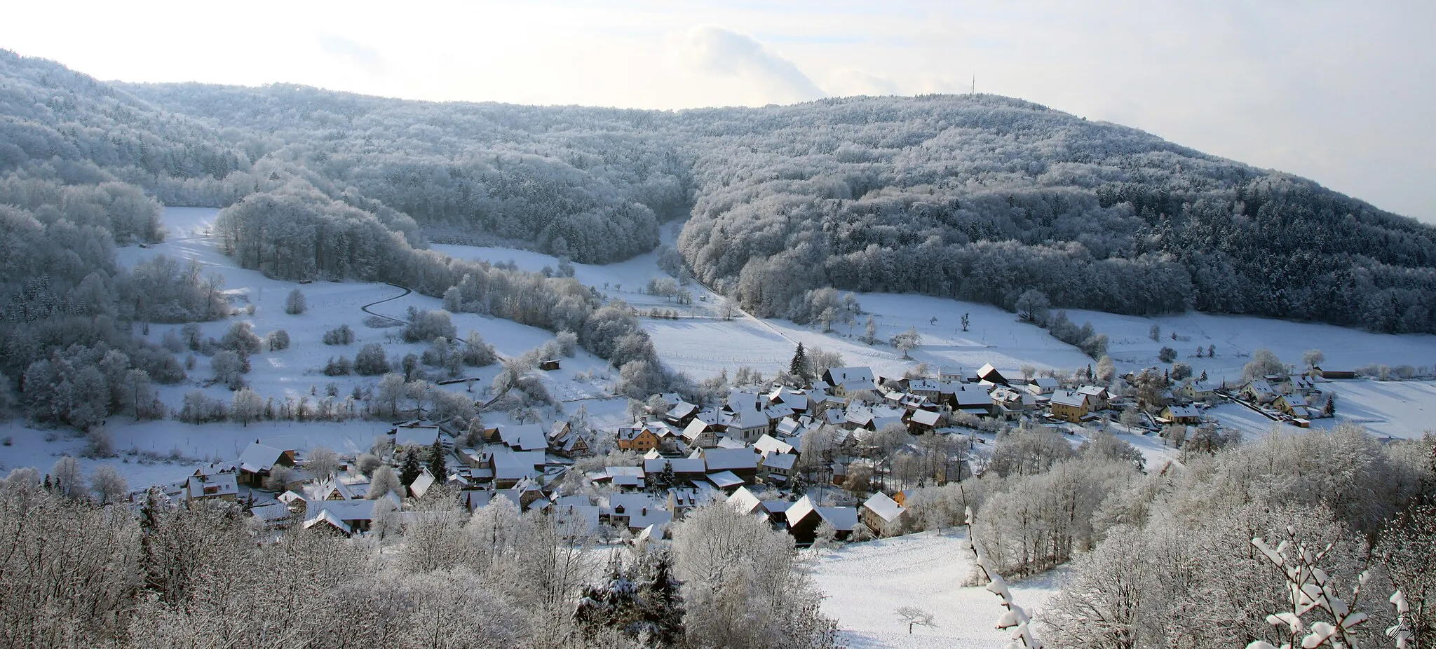
Gundelsheim is a locality in the Oberfranken region of Germany. From a cyclist's perspective, Gundelsheim offers a mix of scenic routes and challenging terrains. The area features rolling hills, vineyards, and picturesque landscapes, providing cyclists with beautiful views during their rides. Additionally, Gundelsheim is located near the famous climb of Staffelberg, known for its steep incline and stunning vistas. With its combination of scenic beauty and challenging climbs, Gundelsheim is a must-visit destination for cycling enthusiasts.12 km
12 km
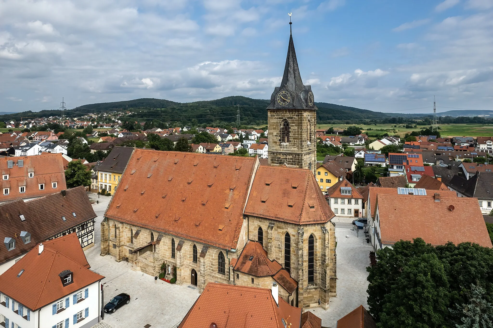
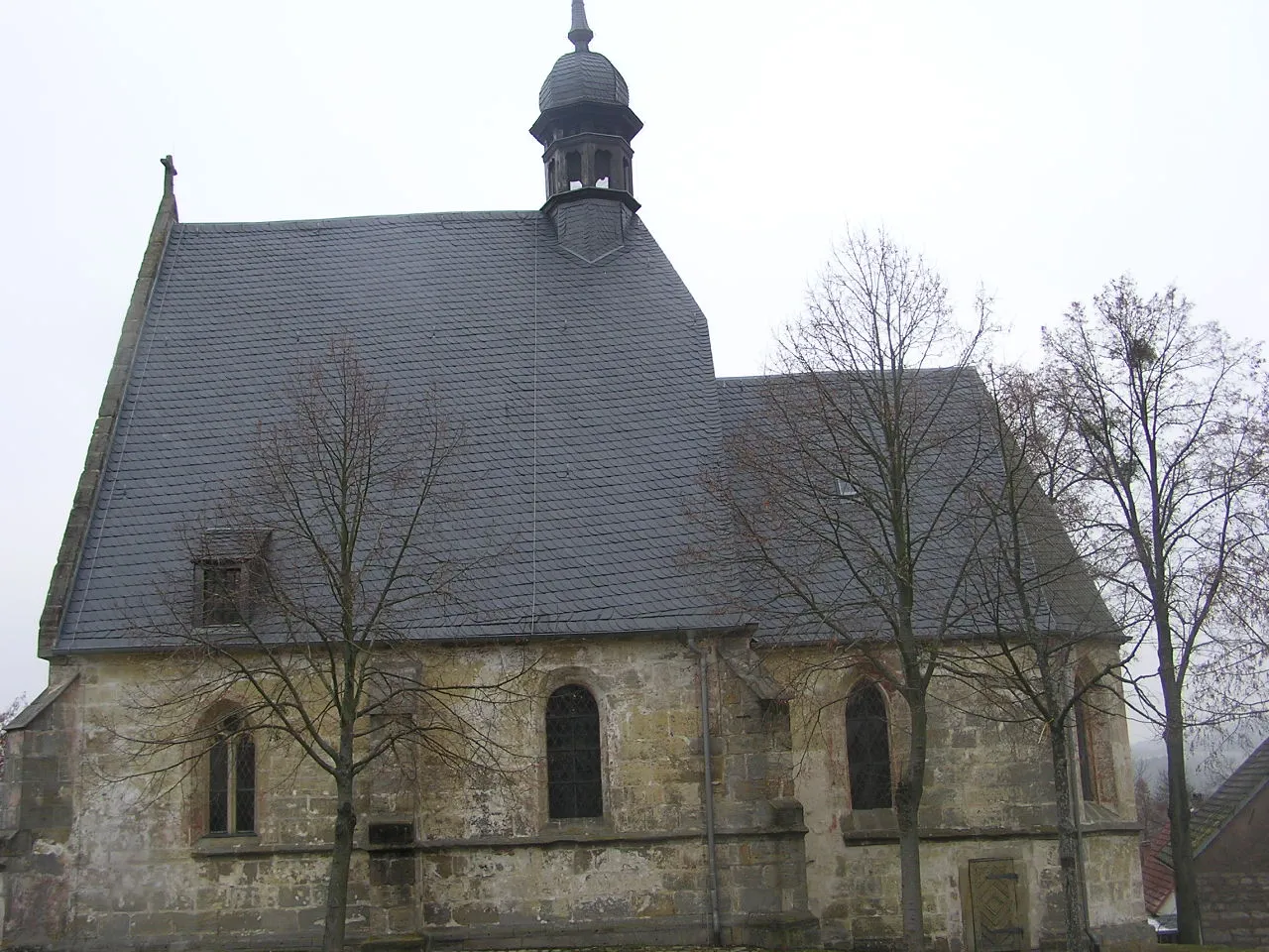
ScheßlitzTownScheßlitz offers a combination of historical sites and natural beauty, including the picturesque Schloss Seehof.
16 km
16 km
Heidenstein578 mPeakExperience the stunning views from Heidenstein and witness the beauty of the surrounding area.
33 km
33 km
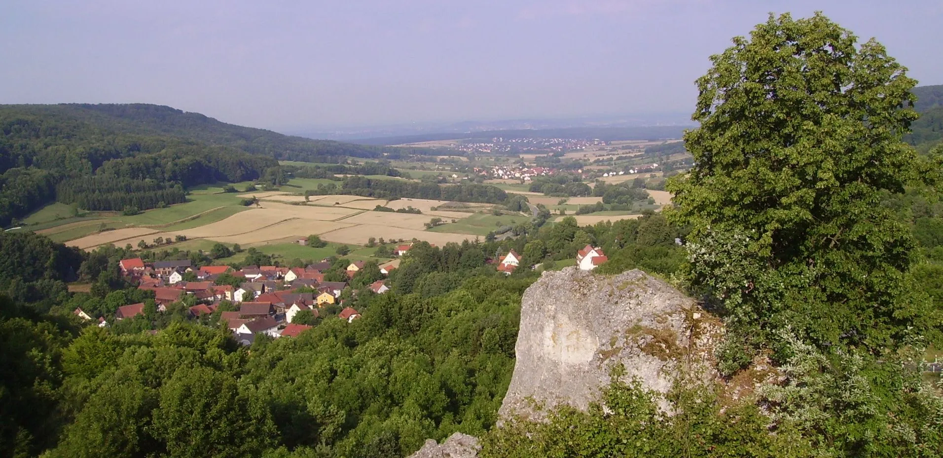
TotensteinViewpointDiscover Totenstein, a unique rock formation that offers panoramic vistas of the countryside.
35 km
35 km
hydraulischer WidderAttractionLearn about the fascinating hydraulischer Widder, a historical water-powered ram pump located along the route.
43 km
43 km
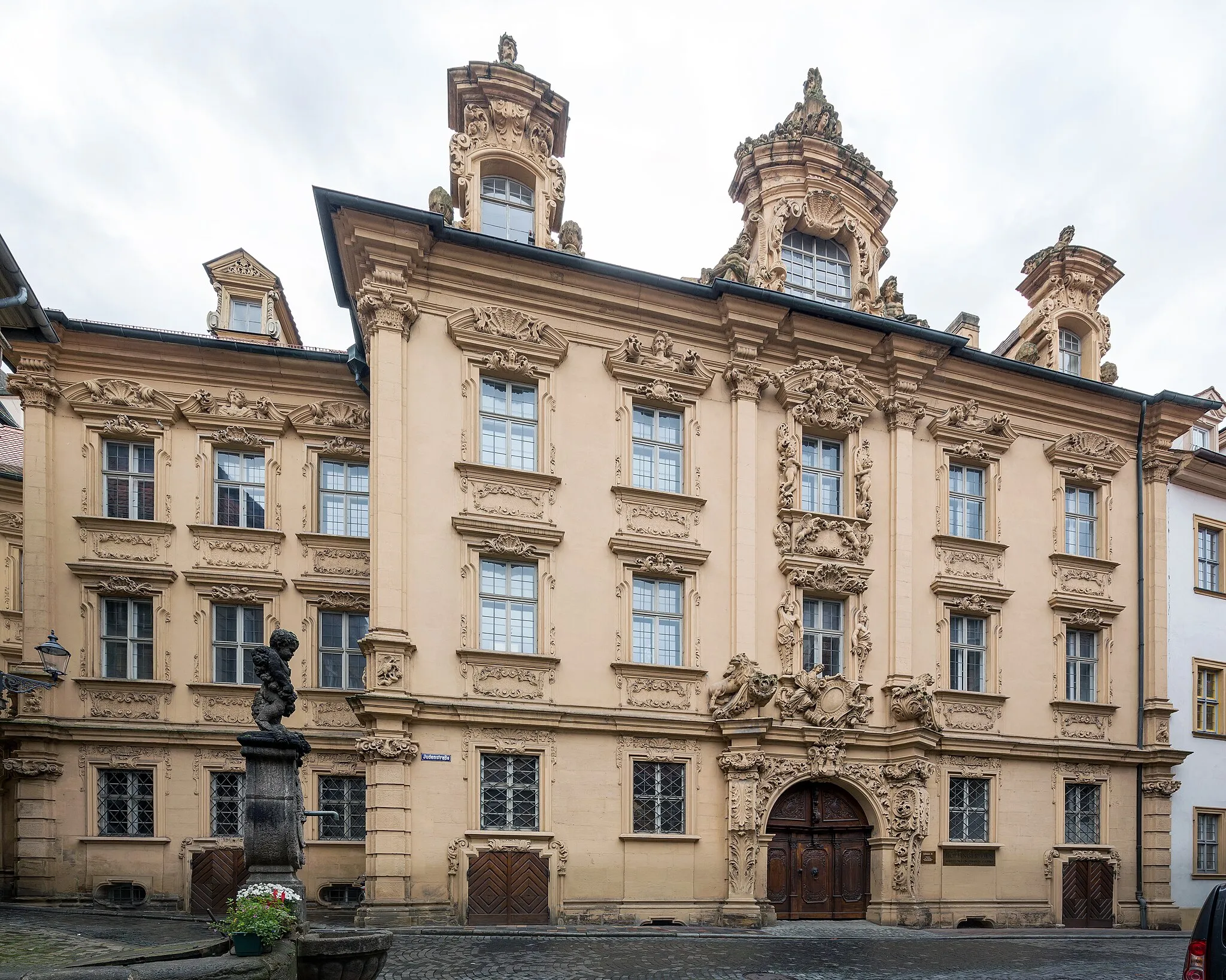
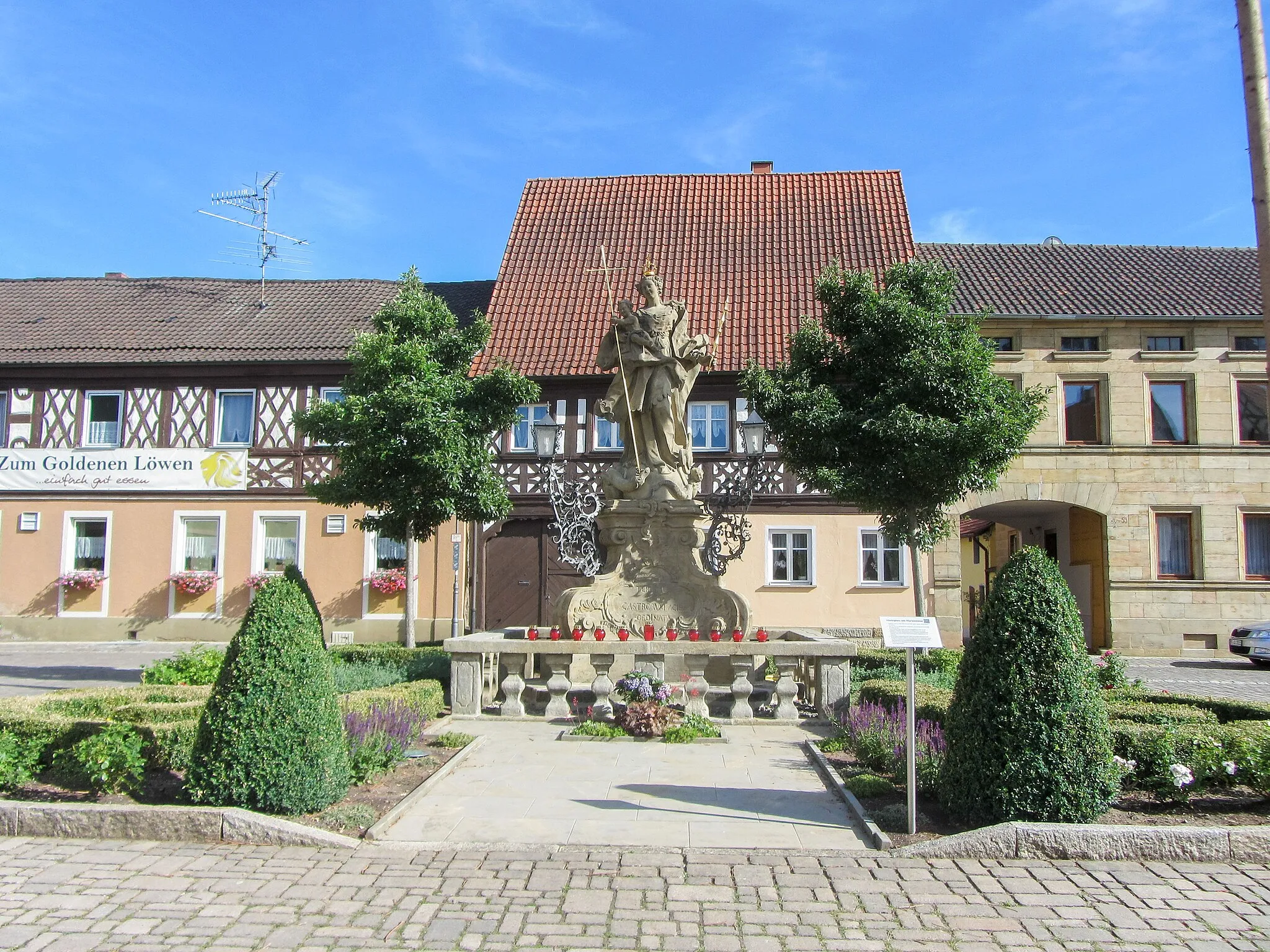
EbermannstadtTownExplore the historical town of Ebermannstadt and admire its charming architecture and vibrant atmosphere.
53 km
53 km
Högelstein497 mPeakTake in the breathtaking views from Högelstein, a popular lookout point along the route.
66 km
66 km
Rotenberg289 mPeakClimb Rotenberg, a challenging but rewarding hill with stunning views at the top.
68 km
68 km
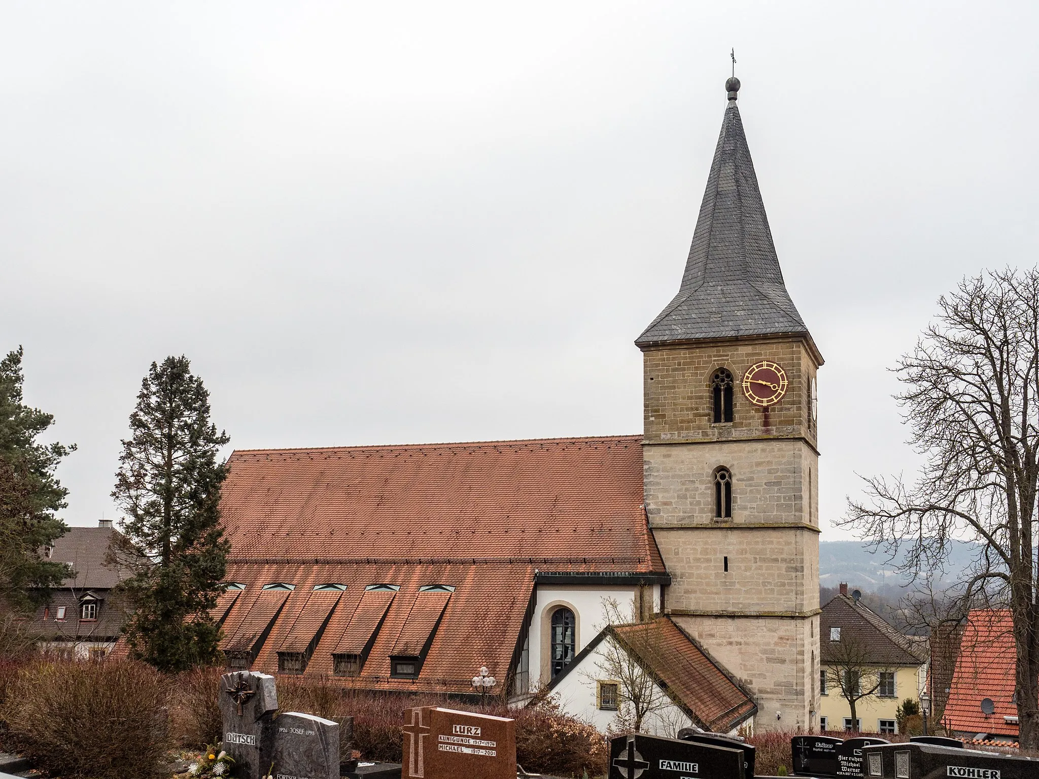
StrullendorfVillagePass through Strullendorf, a cozy village surrounded by lush green landscapes.
76 km
76 km
GartenstadtSub-urbEnd your journey in Gartenstadt, an idyllic neighborhood known for its beautiful gardens and tranquil atmosphere.
81 km
81 km
Finish: Gundelsheim Village centerGundelsheim: Conquer the Challenging Staffelberg Climb in Scenic Oberfranken
Cycling routes from Gundelsheim:
Cycling routes nearby: