Gravel adventure in Oberfranken
A gravel cycling route starting from Marktrodach
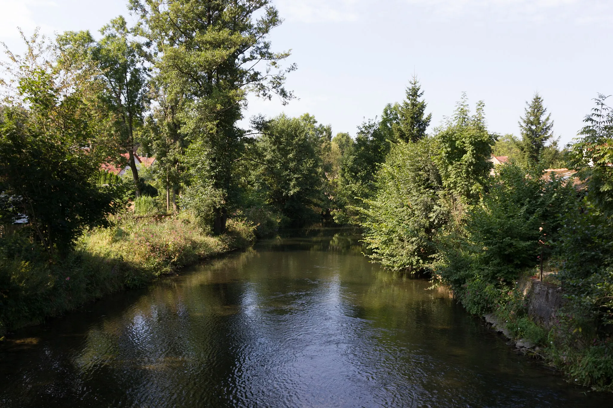
Embark on a thrilling gravel adventure through Oberfranken's diverse landscapes
Map
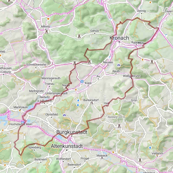
This exhilarating gravel route in Oberfranken showcases the region's diverse landscapes. With a challenging level of difficulty, it is recommended for experienced gravel cyclists. The route covers a distance of 61 kilometers with an ascent of 1064 meters, offering plenty of opportunities to test your skills and endurance.
gravel
61 km
1064 m
Tough
Route profile
Highlights on the route
0 km
0 km
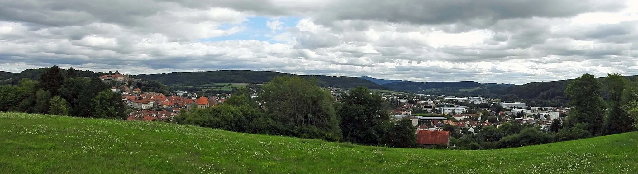
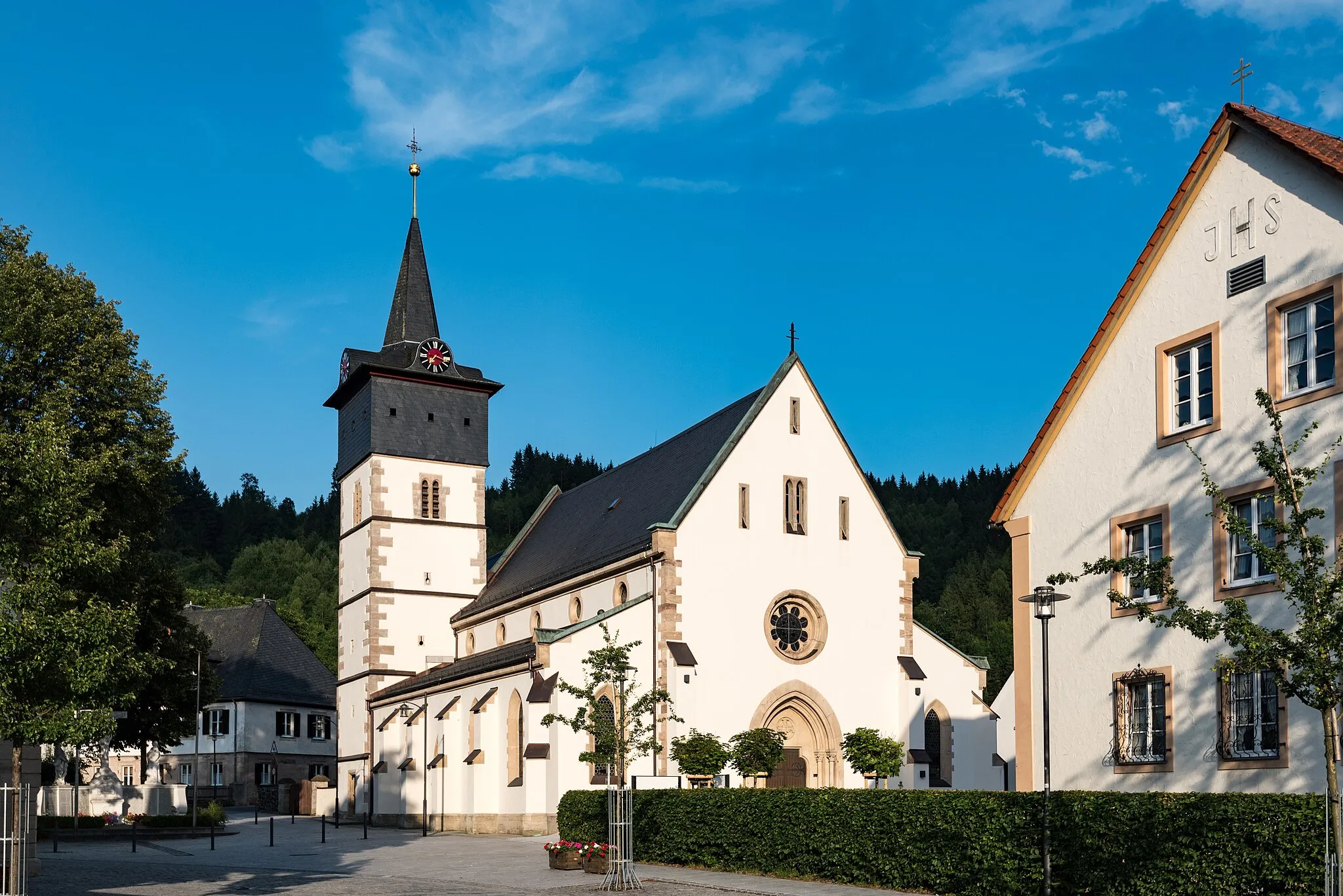
Start: Marktrodach Village centerMarktrodach: Embark on the legendary Frankenwald cycling route from Marktrodach and discover the enchanting landscapes of Oberfranken.
Marktrodach is a delightful locality located in Oberfranken, Germany. Road and gravel cyclists can enjoy the serene countryside with its rolling hills and well-maintained roads. The pristine forests and meandering streams provide a refreshing backdrop for cycling enthusiasts. Marktrodach is also known for being the starting point of the legendary Frankenwald cycling route, which takes cyclists through picturesque landscapes and quaint villages. With its charming atmosphere and cycling-friendly infrastructure, Marktrodach is a perfect destination for cyclists looking to explore the beauty of Oberfranken.3 km
3 km
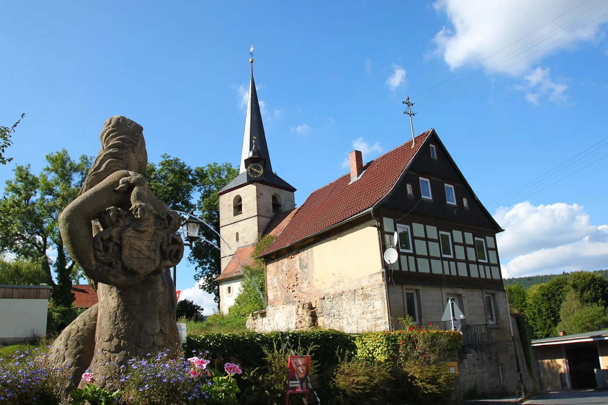
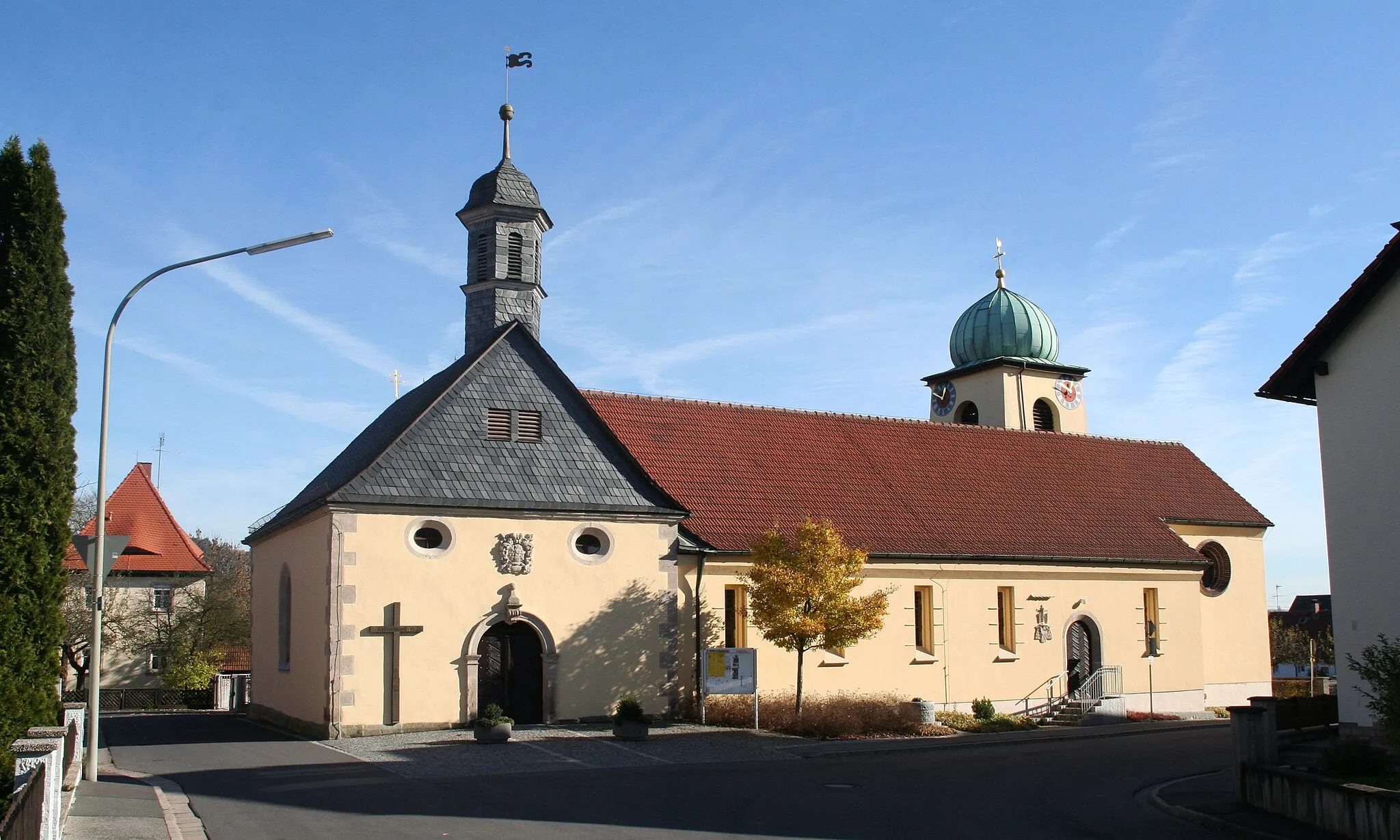
VogtendorfVillageVogtendorf is a small village with a rich history and traditional Franconian charm.
10 km
10 km
Wachtelberg494 mPeakWachtelberg is a notable peak along the route, known for its stunning views and rugged terrain.
23 km
23 km
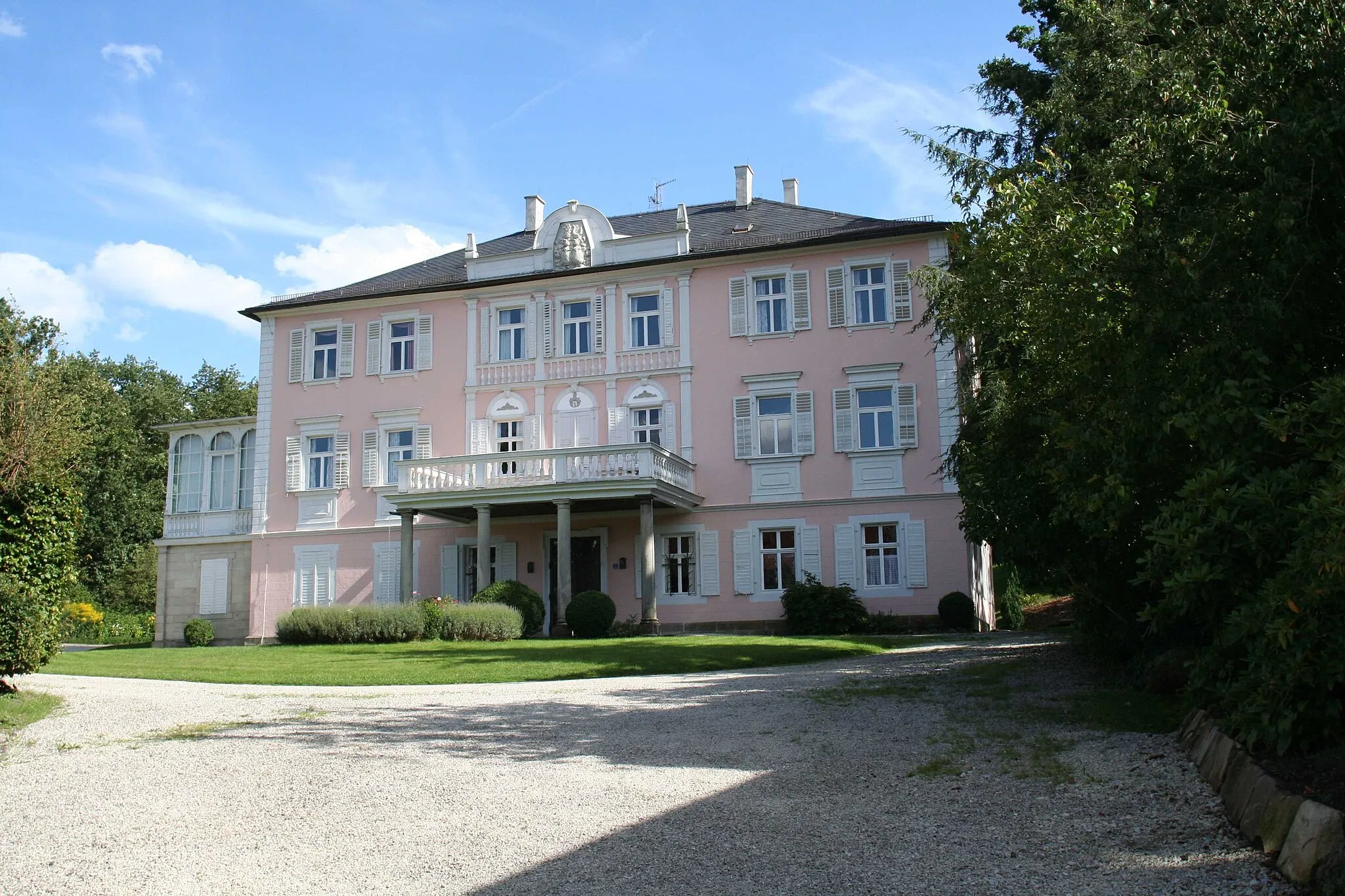
Schloss StrössendorfCastleSchloss Strössendorf is a historical castle surrounded by beautiful gardens and scenic landscapes.
28 km
28 km
Eulenberg429 mPeakEulenberg is a hilltop viewpoint offering breathtaking panoramic vistas of the surrounding countryside.
39 km
39 km
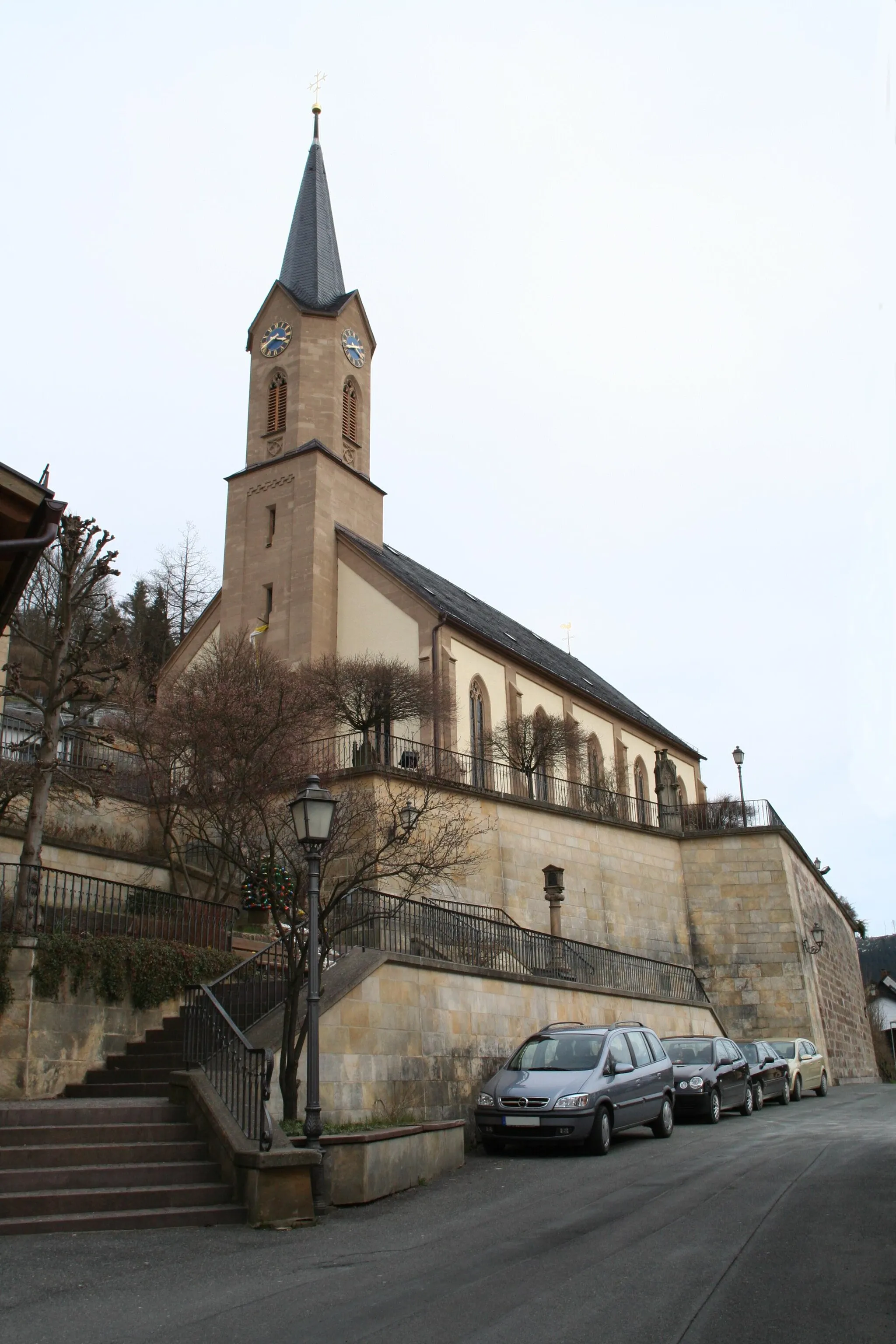
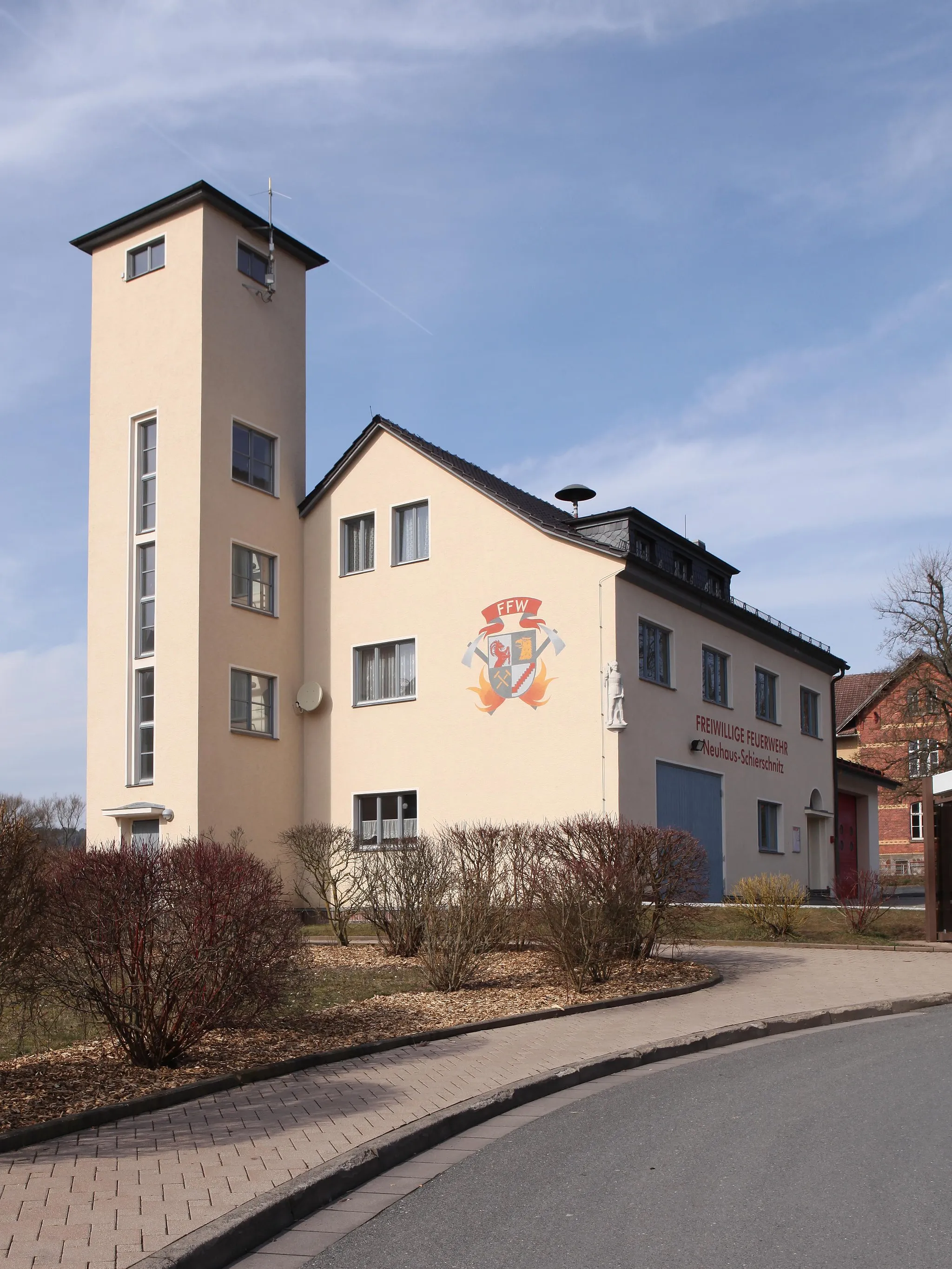
UnterlangenstadtVillageUnterlangenstadt is a charming village with traditional half-timbered houses and a cozy atmosphere.
59 km
59 km
Hohe Wart468 mPeakHohe Wart is a majestic lookout point providing panoramic views of the rolling hills and forests.
61 km
61 km
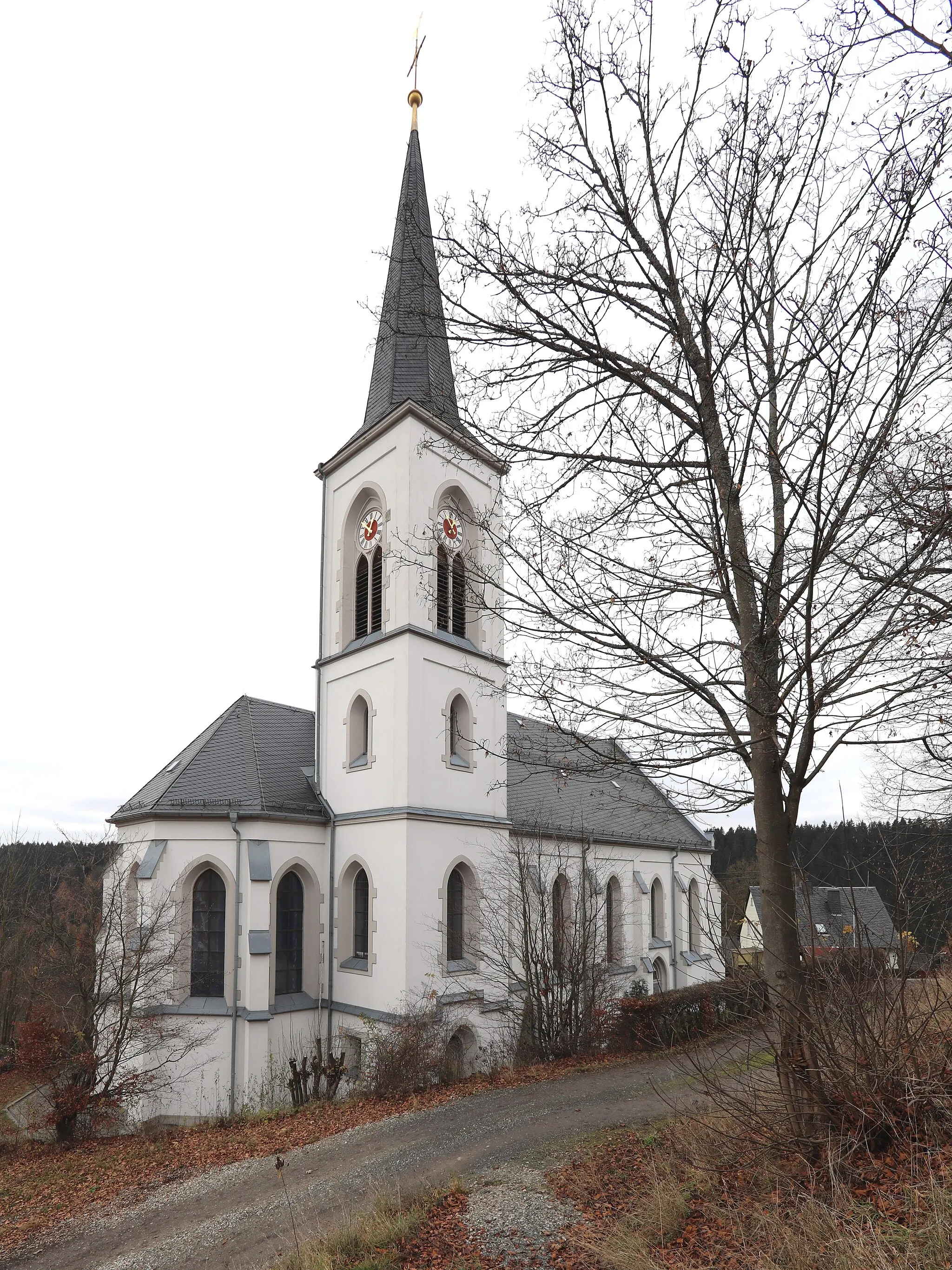
MarktrodachVillageMarktrodach is a picturesque town featuring a blend of historical architecture and natural beauty.
61 km
61 km
Finish: Marktrodach Village centerMarktrodach: Embark on the legendary Frankenwald cycling route from Marktrodach and discover the enchanting landscapes of Oberfranken.
Cycling routes from Marktrodach:
Cycling routes nearby: