Gifting Hills
A road cycling route starting from Marktrodach
A challenging road route with scenic hilltops
Map
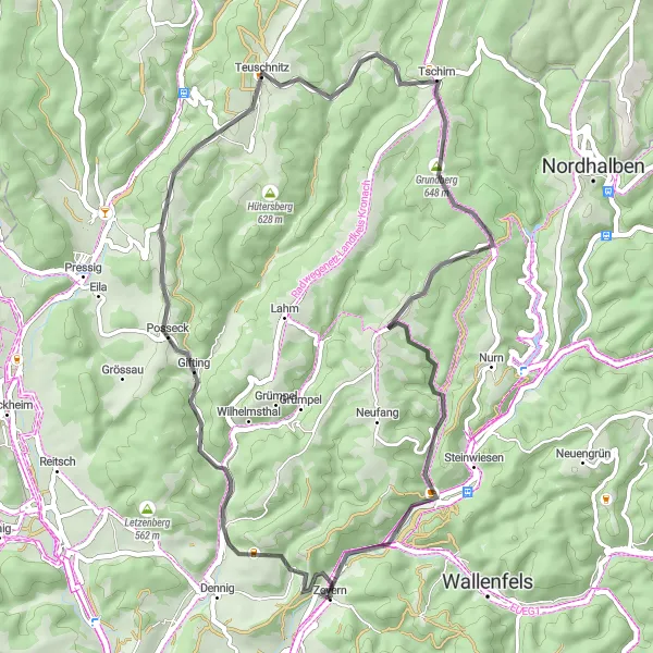
The Gifting Hills route is a 48-kilometer road route that includes several challenging hill climbs. With a total ascent of 955 meters and beautiful panoramic views along the way, it offers an exciting ride for experienced cyclists. Explore the region and conquer the ascent to experience the thrill of reaching the top.
road
48 km
955 m
Tough
Route profile
Highlights on the route
0 km
0 km
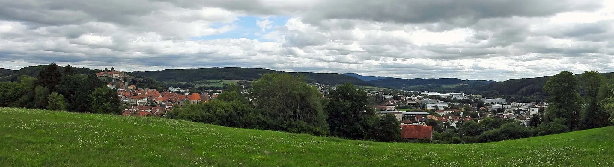
Start: Zeyern Village centerMarktrodach: Embark on the legendary Frankenwald cycling route from Marktrodach and discover the enchanting landscapes of Oberfranken.
Marktrodach is a delightful locality located in Oberfranken, Germany. Road and gravel cyclists can enjoy the serene countryside with its rolling hills and well-maintained roads. The pristine forests and meandering streams provide a refreshing backdrop for cycling enthusiasts. Marktrodach is also known for being the starting point of the legendary Frankenwald cycling route, which takes cyclists through picturesque landscapes and quaint villages. With its charming atmosphere and cycling-friendly infrastructure, Marktrodach is a perfect destination for cyclists looking to explore the beauty of Oberfranken.10 km
10 km
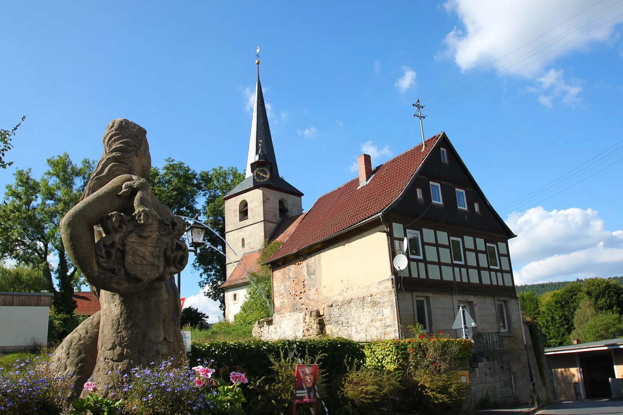
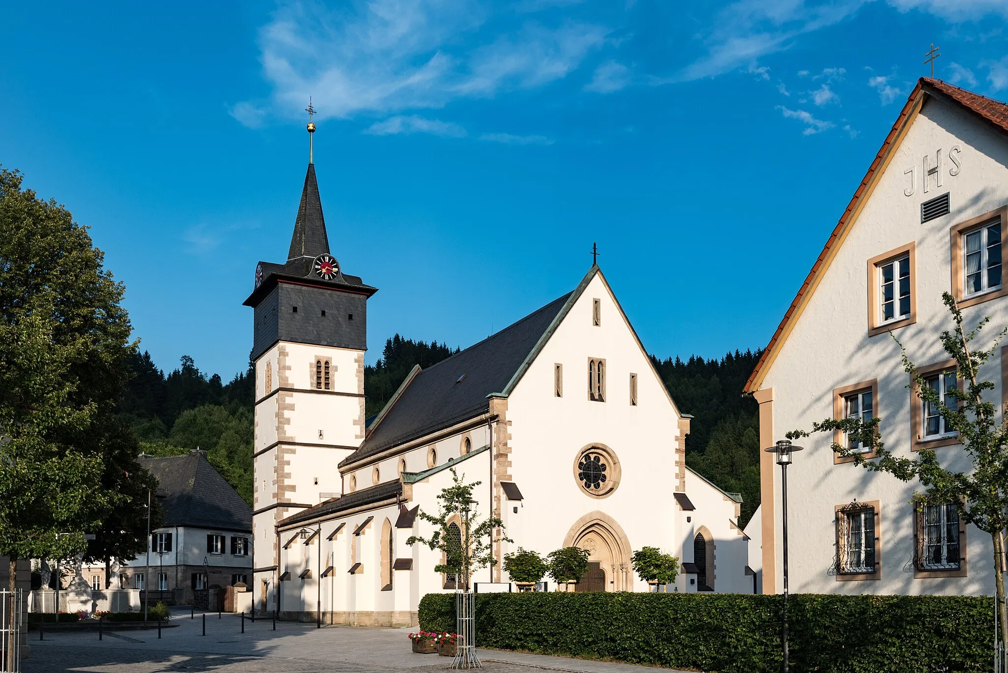
GiftingVillagePass through Gifting, a small village with charming traditional houses and idyllic countryside.
14 km
14 km
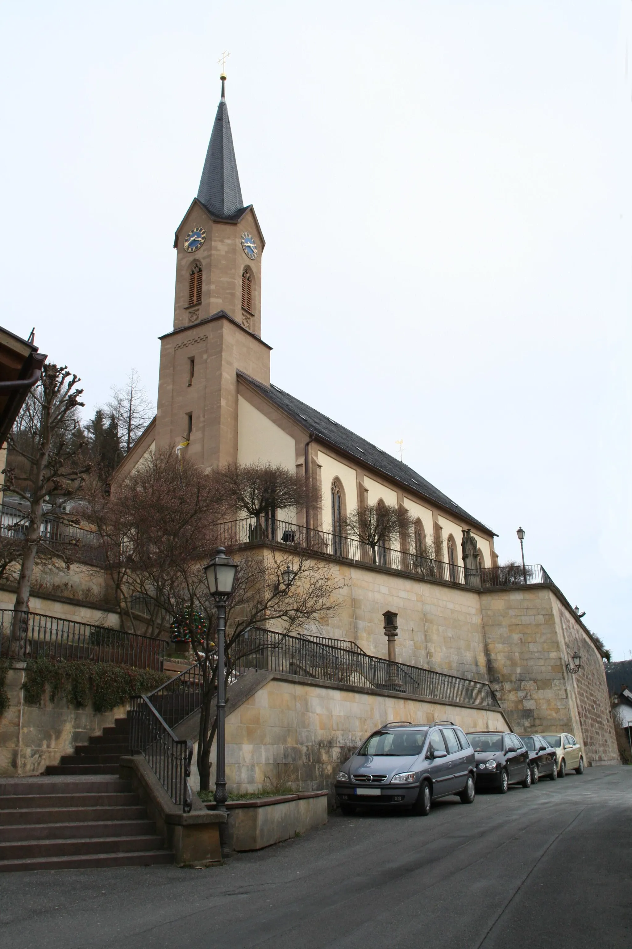
Rotenberg532 mPeakClimb up to Rotenberg, a hilltop that rewards cyclists with breathtaking panoramic views of the surroundings.
20 km
20 km
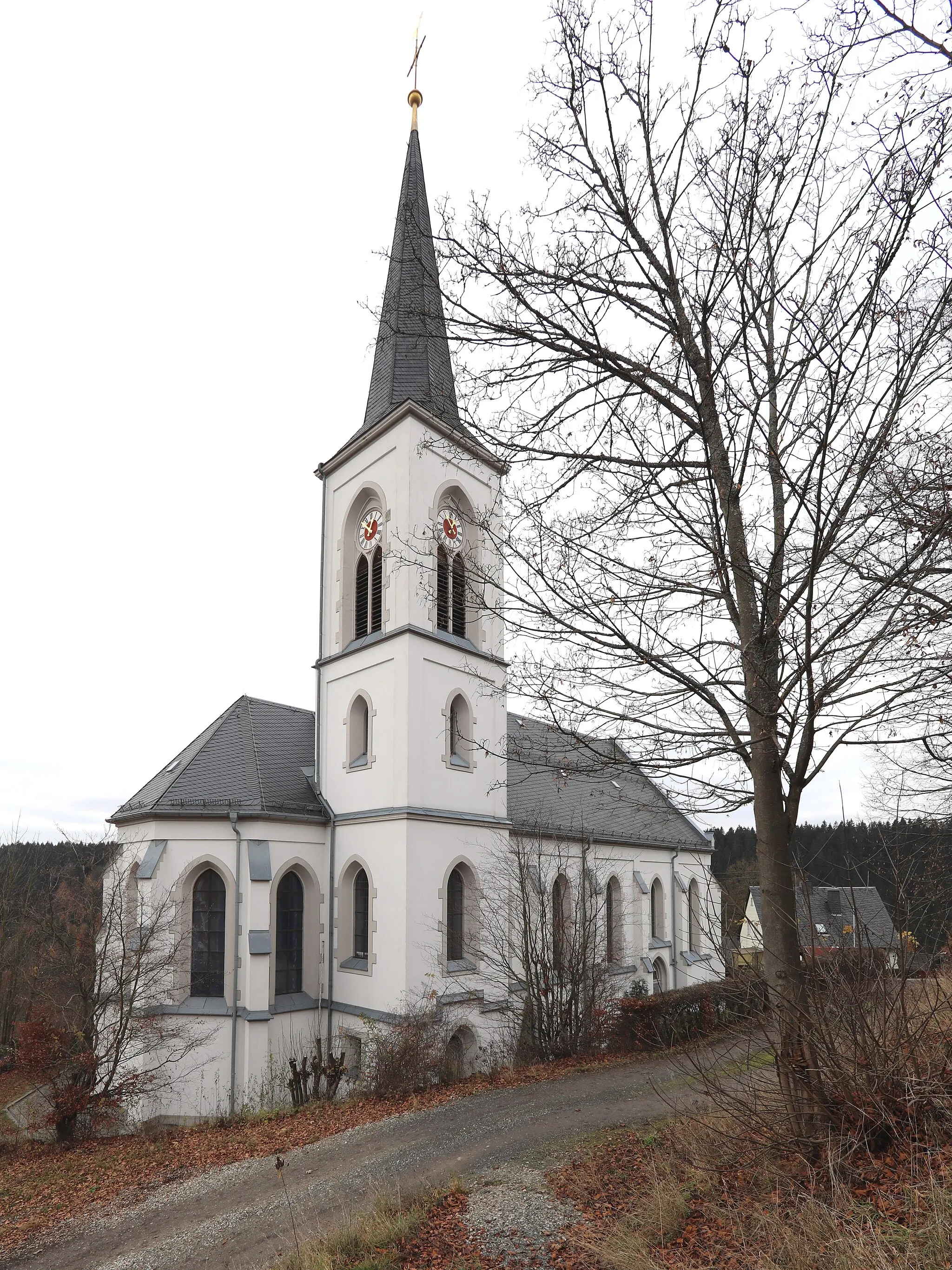
TeuschnitzVillageExperience the scenic beauty of the Teuschnitz region, with its rolling hills and peaceful atmosphere.
30 km
30 km
Grundberg648 mPeakDiscover Grundberg, a hidden gem known for its tranquil forests and picturesque scenery.
36 km
36 km
Wasserturm BirnbaumViewpointStop by the Wasserturm Birnbaum, a historic water tower that serves as a landmark in the area.
48 km
48 km
Finish: Zeyern Village centerMarktrodach: Embark on the legendary Frankenwald cycling route from Marktrodach and discover the enchanting landscapes of Oberfranken.
Cycling routes from Marktrodach:
Cycling routes nearby: