Elsenberg Adventure: Gravel Escape
A gravel cycling route starting from Pinzberg
Challenge yourself with a gravel adventure through Elsenberg's scenic landscapes.
Map

Get ready for an exhilarating gravel adventure as you cycle through the breathtaking landscapes of Elsenberg. With an ascent of 670 meters and a distance of 57 kilometers, this route is suitable for experienced cyclists. Highlights along the way include Elsenberg, Rangener Berg, Wache, Hüttenbach, Alter Rotenberg, Eckenhaid, Gugel, and Pinzberg.
gravel
57 km
670 m
Tough
Route profile
Highlights on the route
0 km
0 km
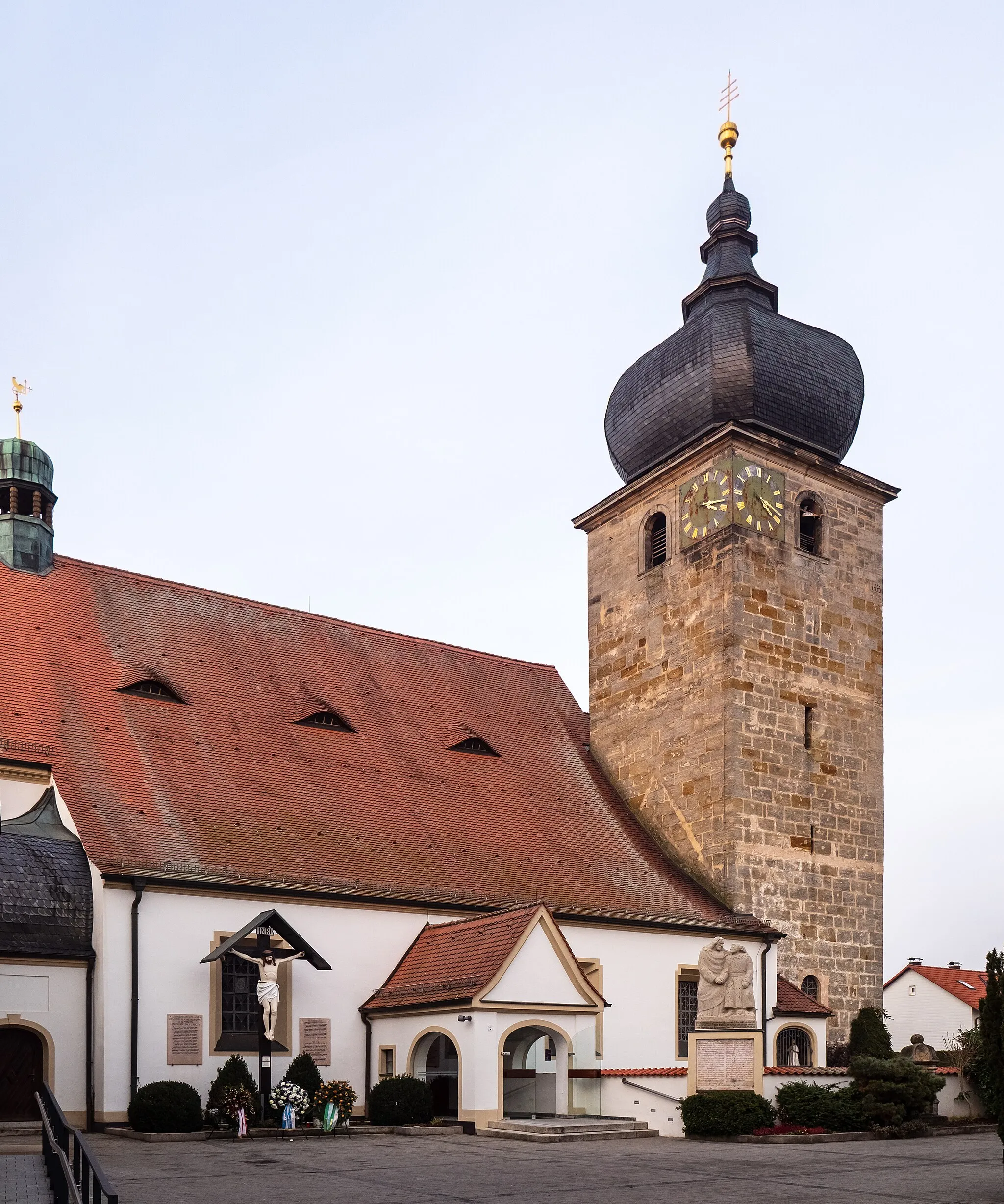
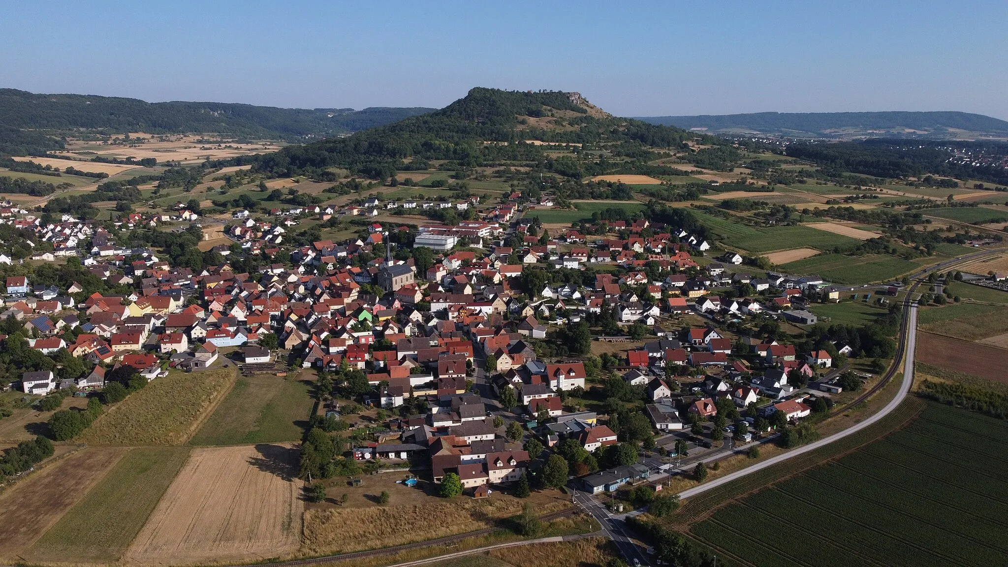
Start: Pinzberg Village centerPinzberg: Discover the beauty of Franconian Switzerland on two wheels
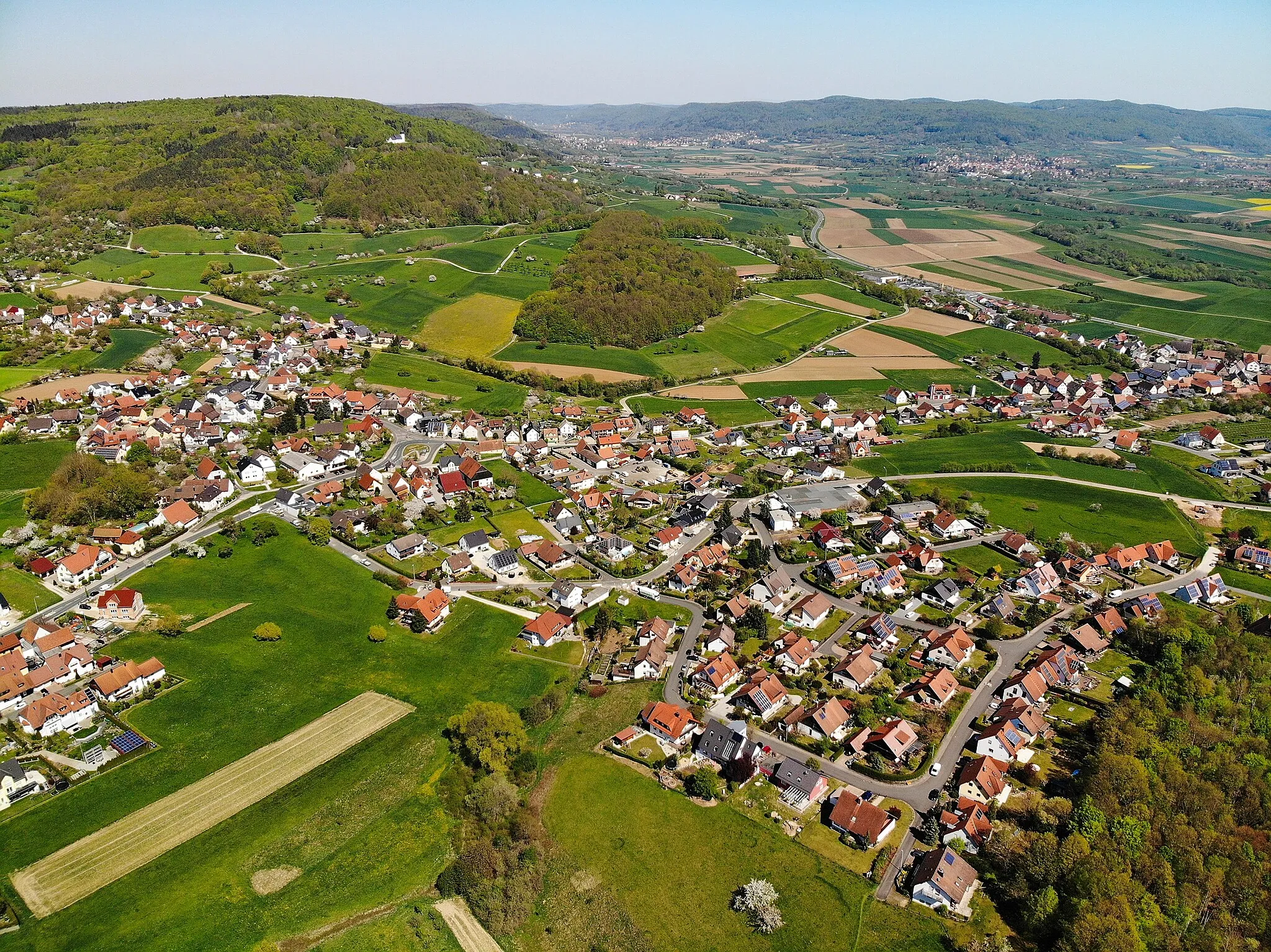
Pinzberg is a quiet village in Oberfranken, Germany, offering a peaceful and pleasant cycling experience. The streets of Pinzberg are well-maintained and relatively flat, making it suitable for casual rides and family outings. The surrounding countryside is characterized by rolling hills and idyllic landscapes, providing ample opportunities for scenic cycling routes. One famous cycling spot near Pinzberg is the Franconian Switzerland, a region known for its picturesque rock formations and challenging climbs. KiKo, a popular cycling event in Germany, also takes place in this region. While Pinzberg may not offer any notable cycling landmarks, its proximity to Franconian Switzerland makes it an excellent base for outdoor enthusiasts.1 km
1 km
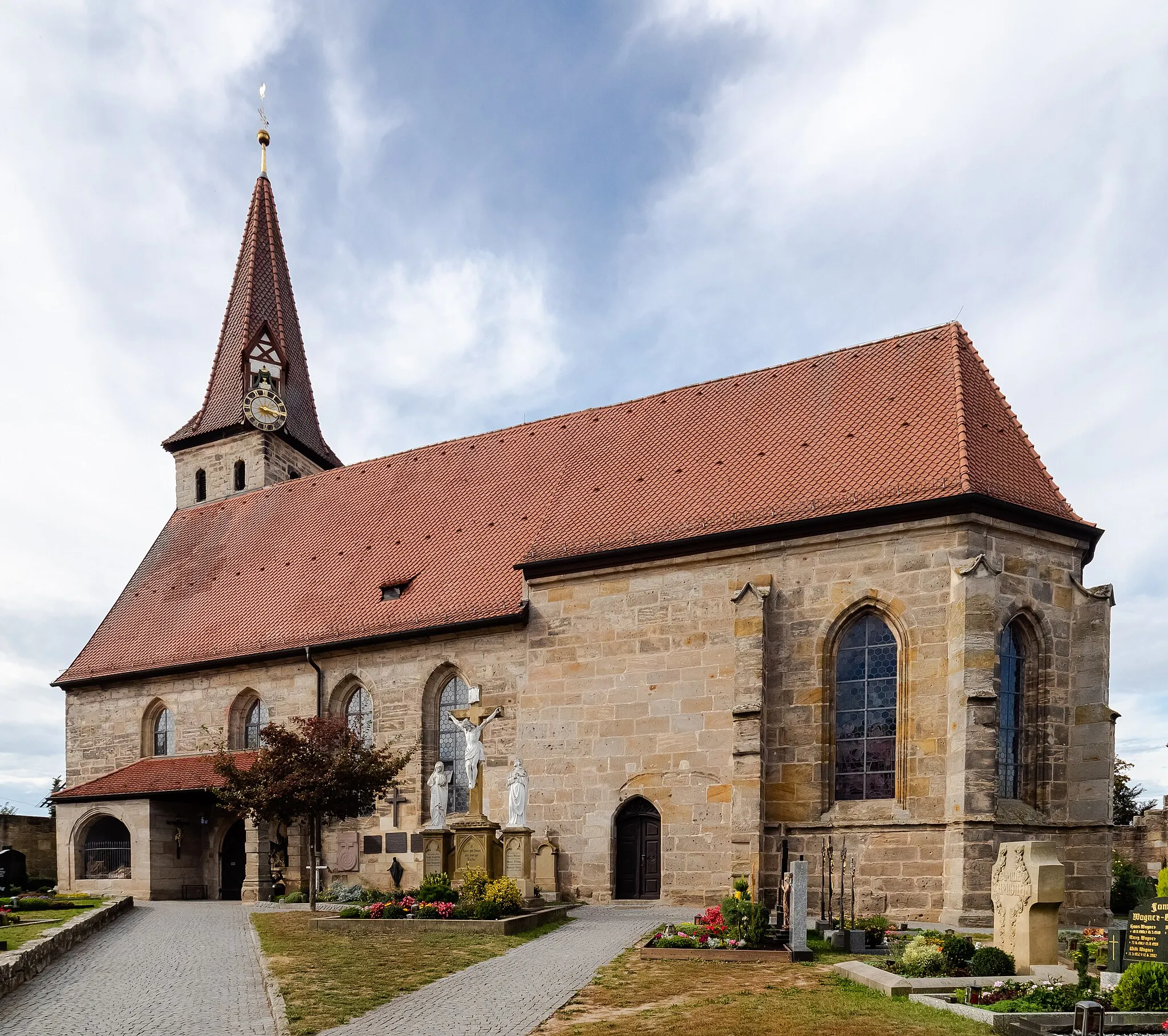
ElsenbergVillageElsenberg offers a challenging terrain with steep climbs and rewarding panoramic views at the top.
8 km
8 km
Rangener Berg529 mPeakRangener Berg is a haven for gravel enthusiasts, offering thrilling descents and breathtaking vistas.
21 km
21 km
Wache492 mPeakStop at Wache, a historic landmark with stunning architecture, to learn about the region's history and culture.
23 km
23 km
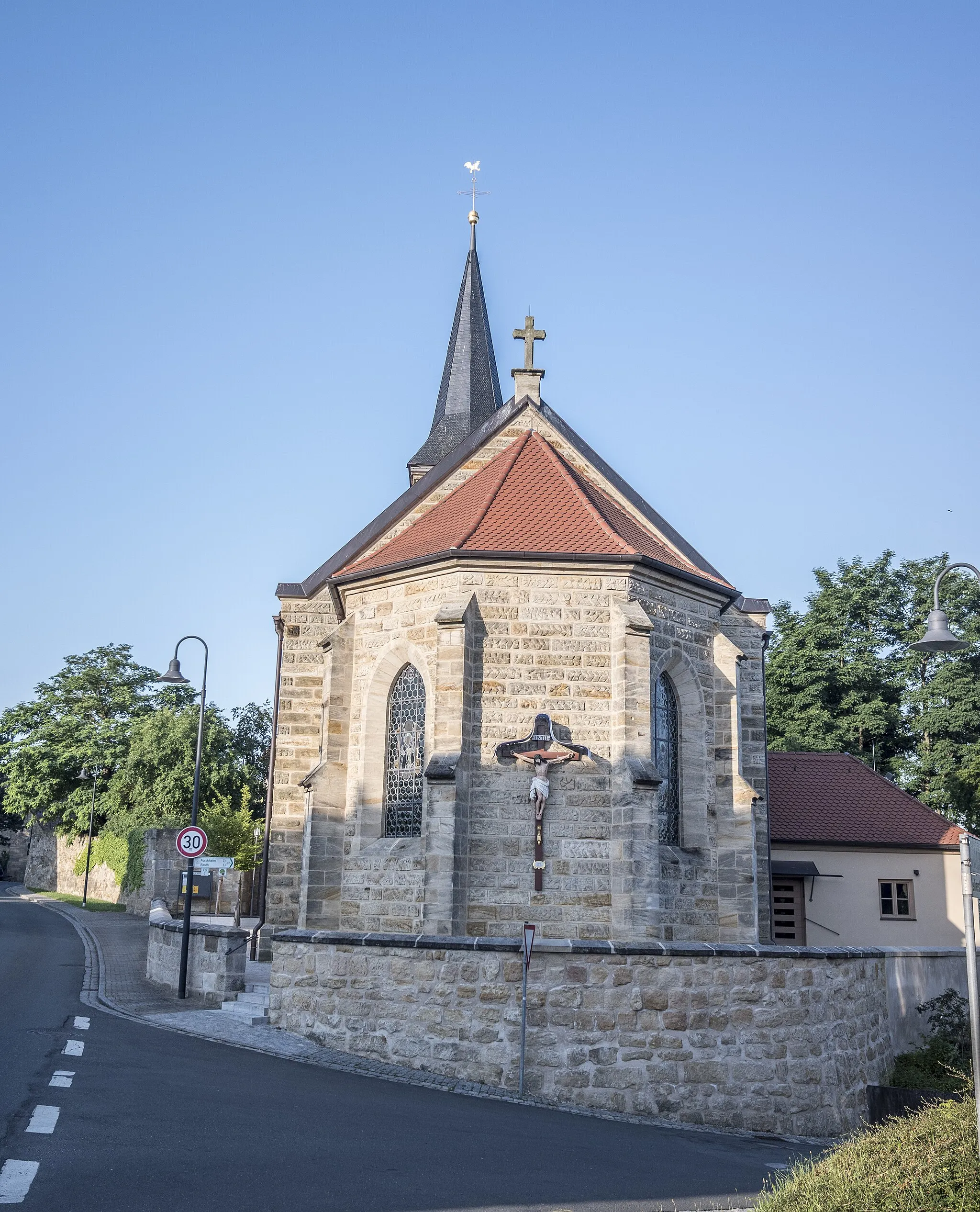
HüttenbachVillageHüttenbach is a quaint village with picturesque landscapes and charming rural atmosphere.
29 km
29 km
Alter Rotenberg505 mPeakCycling through Alter Rotenberg, you'll witness the beauty of the region's rolling hills and lush green meadows.
37 km
37 km
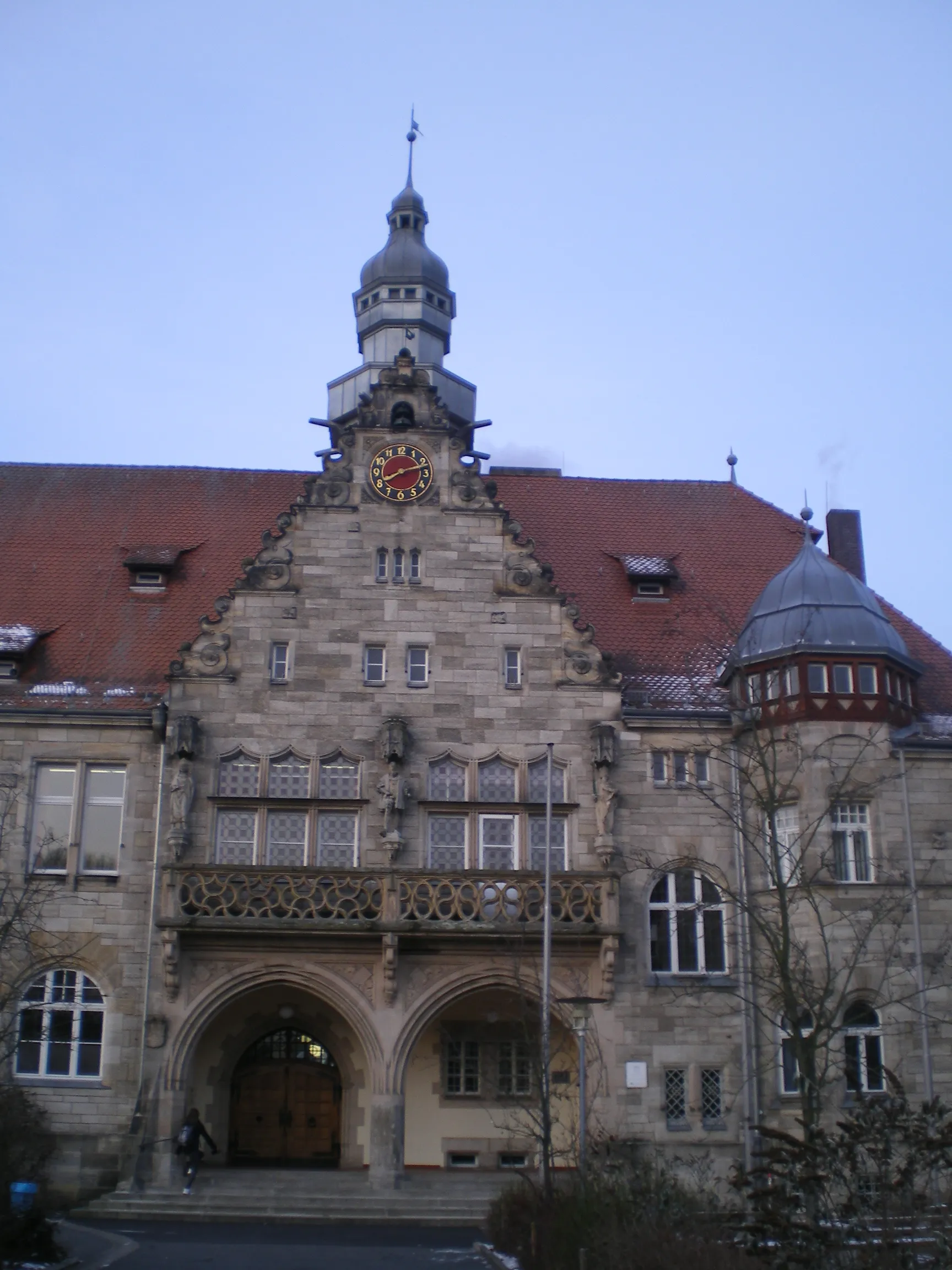
EckenhaidVillageEckenhaid is a hidden gem with tranquil surroundings, perfect for those seeking a peaceful cycling route.
46 km
46 km
Gugel375 mPeakGugel offers a unique cycling experience with its mix of scenic countryside views and historic landmarks.
57 km
57 km
PinzbergVillagePinzberg serves as the starting and endpoint of this route, offering beautiful scenery and peaceful cycling trails.
57 km
57 km
Finish: Pinzberg Village centerPinzberg: Discover the beauty of Franconian Switzerland on two wheels
Cycling routes from Pinzberg:
Elsenberg Adventure: Gravel Escape Hagenbach Castle and Mountain Legends Hidden Gems and Magnificent Views Gravel Adventure to Sambach Pinzberg Loop: Gravel Adventure Möhrendorf Tour: Scenic Road Cycling Challenging Road Adventure Scenic Road Tour to Gugel Eichelberg Challenge: Road Cycling Adventure Hardt Loop: Legendary Road Cycling Challenge
Cycling routes nearby: