Challenging Road Adventure
A road cycling route starting from Pinzberg
Embark on a challenging road adventure through the scenic landscapes near Pinzberg.
Map
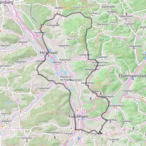
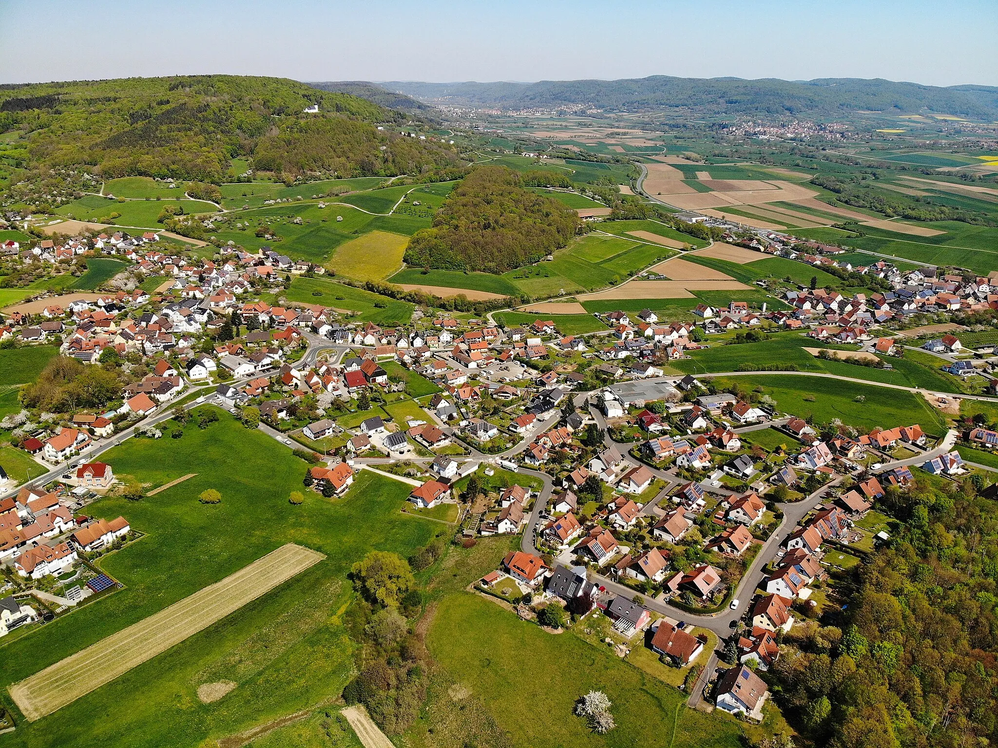
Indulge in an adrenaline-pumping road adventure through the picturesque landscapes surrounding Pinzberg. This 67-kilometer route with an ascent of 783 meters promises to push your limits. Begin by conquering the ascent to Buckenhofen, a feat rewarded with stunning views. Test your skills as you navigate the Trailsdorf trails, known for their thrilling climbs and descents. Wernsdorf-Blick offers panoramic vistas that will take your breath away. Dragonerspitz and Ehrlersheim are two hidden treasures showcasing the beauty of the region. This route is rated as a 4 out of 5 in difficulty, designed for well-trained cyclists seeking a challenge. With an epicness score of 3 out of 5, it offers a combination of scenic beauty and thrilling trails.
road
67 km
783 m
Tough
Route profile
Highlights on the route
0 km
0 km
Start: Elsenberg Village centerPinzberg: Discover the beauty of Franconian Switzerland on two wheels
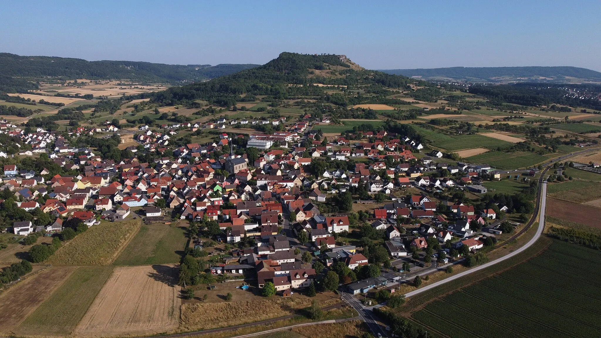
Pinzberg is a quiet village in Oberfranken, Germany, offering a peaceful and pleasant cycling experience. The streets of Pinzberg are well-maintained and relatively flat, making it suitable for casual rides and family outings. The surrounding countryside is characterized by rolling hills and idyllic landscapes, providing ample opportunities for scenic cycling routes. One famous cycling spot near Pinzberg is the Franconian Switzerland, a region known for its picturesque rock formations and challenging climbs. KiKo, a popular cycling event in Germany, also takes place in this region. While Pinzberg may not offer any notable cycling landmarks, its proximity to Franconian Switzerland makes it an excellent base for outdoor enthusiasts.9 km
9 km
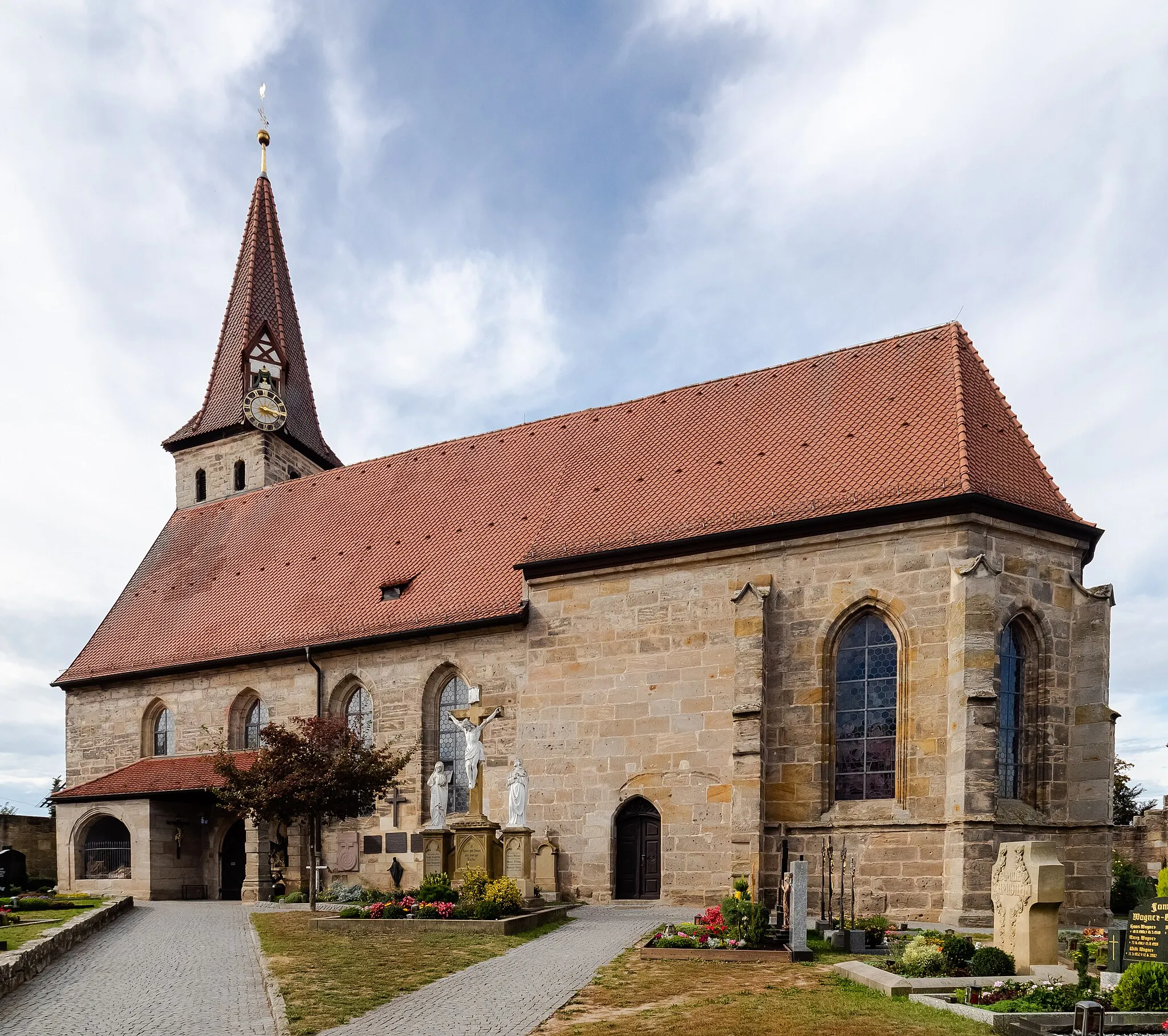
BuckenhofenVillageExperience the challenging ascent to Buckenhofen and savor the rewarding views.
16 km
16 km
TrailsdorfVillageChallenge yourself on the thrilling Trailsdorf trails, known for their technical climbs and descents.
32 km
32 km
Wernsdorf-BlickViewpointReach the Wernsdorf-Blick viewpoint and soak in breathtaking panoramic vistas.
36 km
36 km
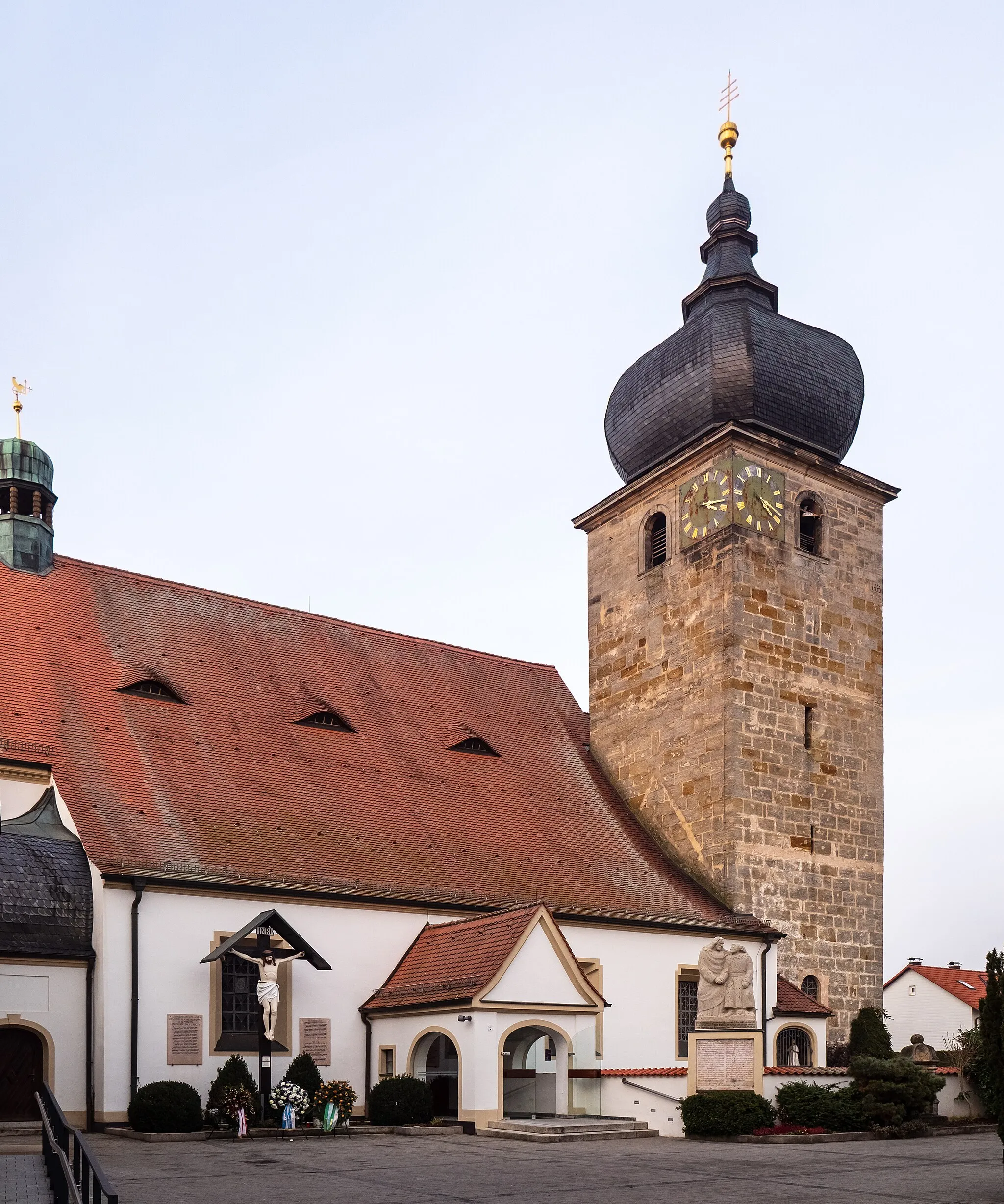
MistendorfVillageMistendorf offers a serene setting with beautiful landscapes and quiet roads.
42 km
42 km
TiefenhöchstadtVillageTiefenhöchstadt is a hidden gem on this route, offering tranquility amidst striking landscapes.
44 km
44 km
DragonerspitzViewpointVisit Dragonerspitz for glimpses of untouched natural beauty and awe-inspiring views.
56 km
56 km
Högelstein497 mPeakHögelstein rewards dedicated cyclists with its stunning vistas and a sense of accomplishment.
59 km
59 km
EhrlersheimVillageEhrlersheim boasts a combination of rolling hills, charming landscapes, and historic heritage.
66 km
66 km
GosbergVillageGosberg flaunts its architectural marvels amidst breathtaking natural surroundings.
67 km
67 km
Finish: Elsenberg Village centerPinzberg: Discover the beauty of Franconian Switzerland on two wheels
Cycling routes from Pinzberg:
Elsenberg Adventure: Gravel Escape Hagenbach Castle and Mountain Legends Hidden Gems and Magnificent Views Gravel Adventure to Sambach Pinzberg Loop: Gravel Adventure Möhrendorf Tour: Scenic Road Cycling Challenging Road Adventure Scenic Road Tour to Gugel Eichelberg Challenge: Road Cycling Adventure Hardt Loop: Legendary Road Cycling Challenge
Cycling routes nearby: