Pressig Gravel Adventure
A gravel cycling route starting from Pressig
Experience an adventurous gravel ride near Pressig, exploring beautiful landscapes and serene spots.
Map
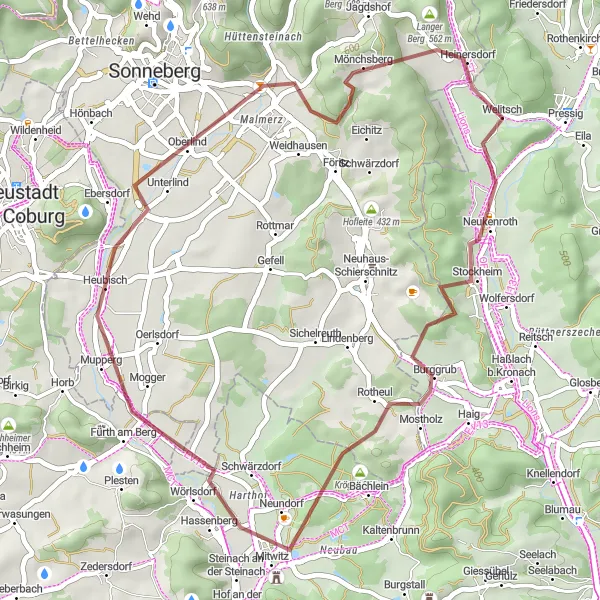
This gravel cycling route takes you off the beaten path to explore the natural beauty of Pressig and its surrounding areas. With an ascent of 460 m and a distance of 40 km, it offers a shorter but exciting adventure for gravel cyclists. Highlights include Stockheim, a charming town with traditional half-timbered houses, and Krögel, a picturesque spot surrounded by nature. The route also passes by Oberlind, offering beautiful landscapes and peaceful surroundings. Overall, this gravel route allows riders to experience the tranquility and serenity of Pressig in a unique way.
gravel
40 km
460 m
Chill
Route profile
Highlights on the route
0 km
0 km
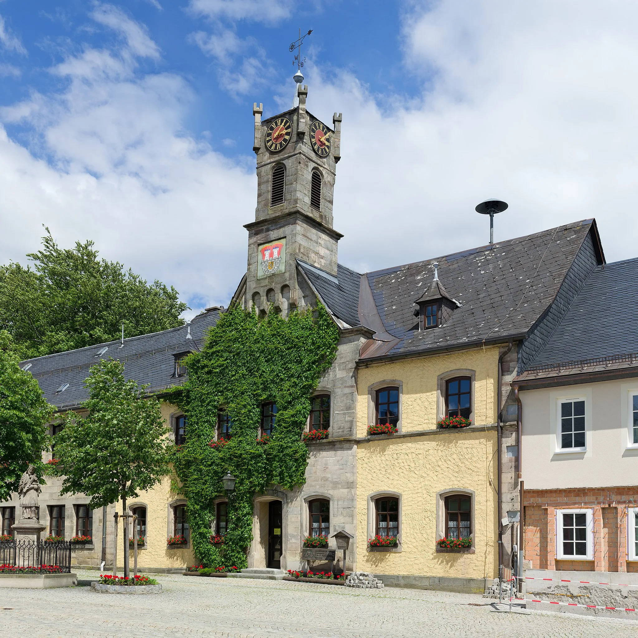
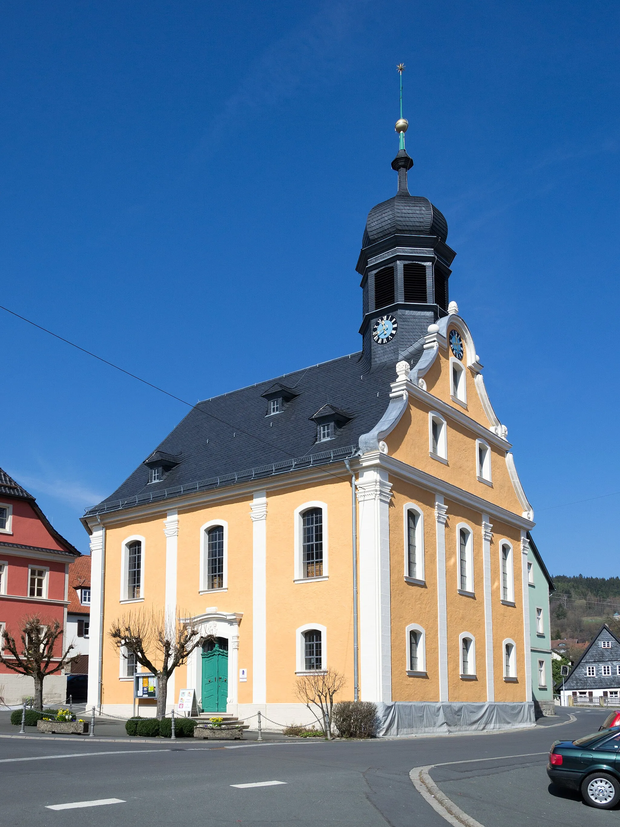
Start: Welitsch Village centerPressig: Tranquility and nature in Oberfranken, Germany
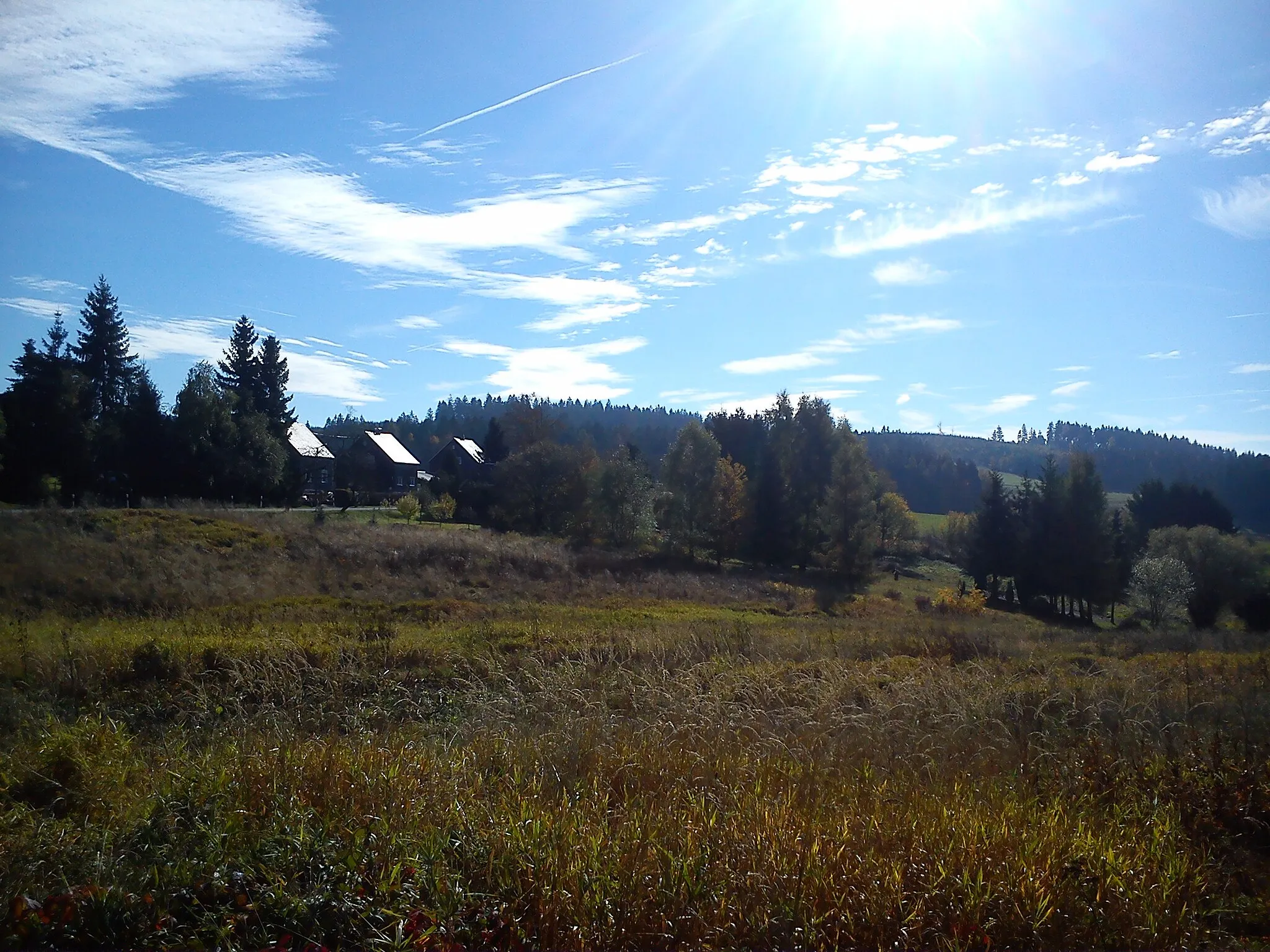
Pressig, located in Oberfranken, Germany, is a scenic locality for road and gravel cycling. The region features picturesque landscapes with rolling hills and dense forests. Cyclists can enjoy peaceful routes that take them through idyllic villages and along serene rivers. Pressig itself is a tranquil town with traditional Bavarian charm. Nearby, cyclists can tackle the famous climb of Geiersberg. Overall, Pressig offers a pleasant cycling experience for both road and gravel cyclists.4 km
4 km
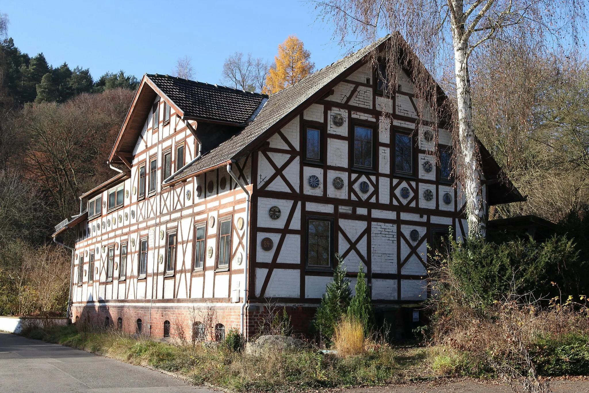
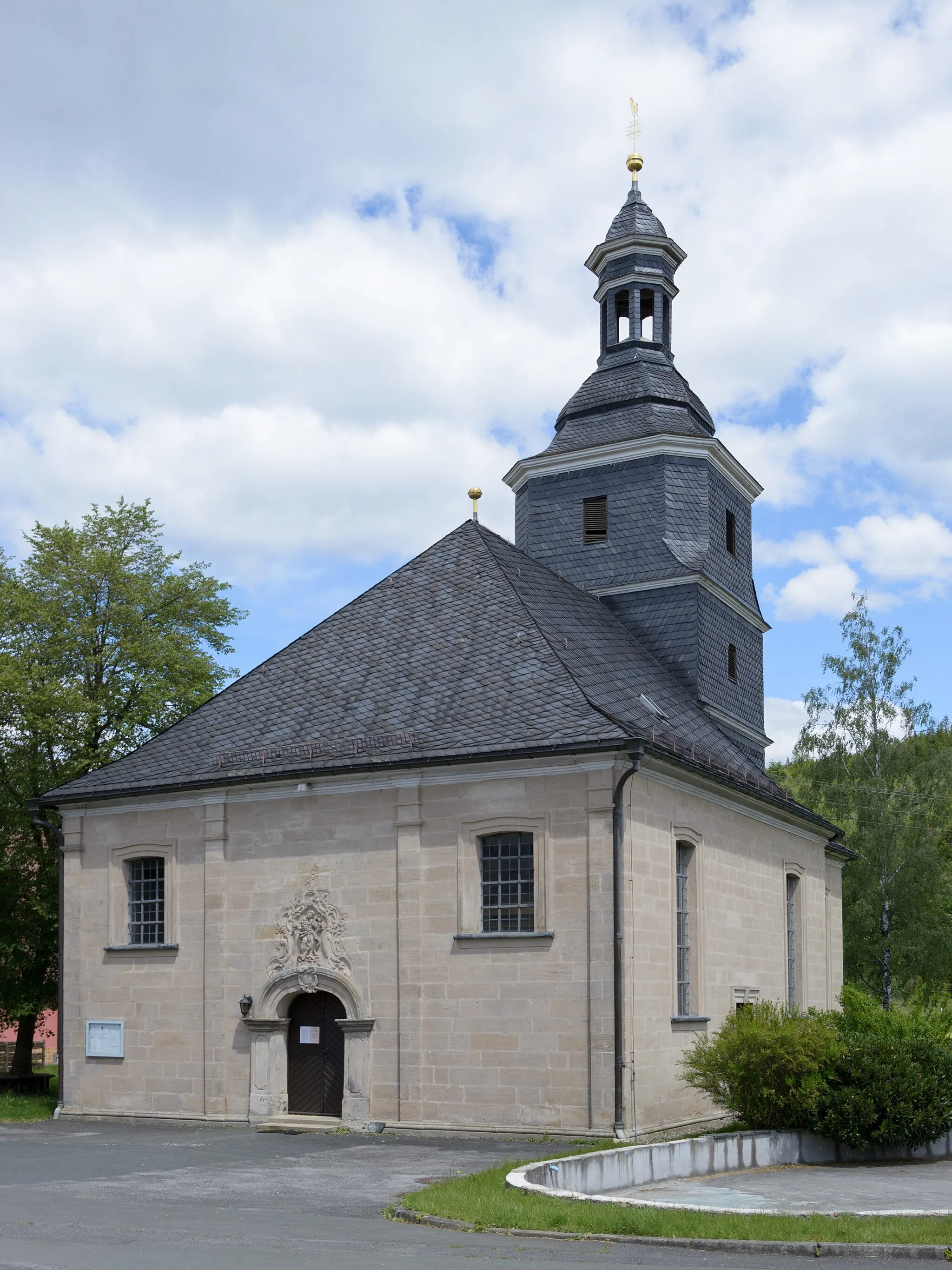
StockheimVillageStockheim is a charming town with traditional half-timbered houses.
12 km
12 km
Krögel354 mPeakKrögel is a picturesque spot surrounded by nature.
28 km
28 km
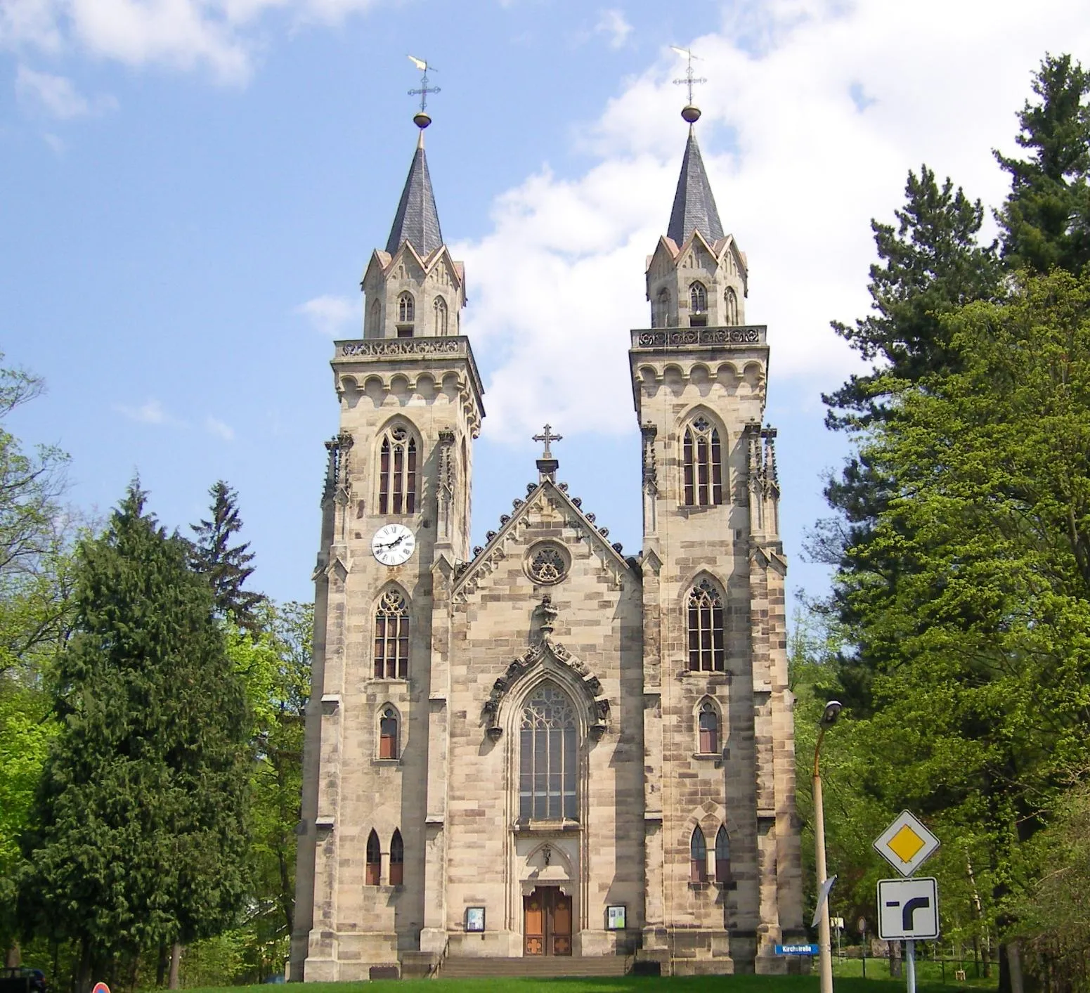
OberlindVillageOberlind offers beautiful landscapes and peaceful surroundings.
30 km
30 km
Goethe-BlickViewpointGoethe-Blick features panoramic views of the surrounding countryside.
36 km
36 km
Müllersberg580 mPeakMüllersberg is a scenic spot with stunning views.
40 km
40 km
WelitschVillageWelitsch offers tranquility and beautiful landscapes for cyclists.
40 km
40 km
Finish: Welitsch Village centerPressig: Tranquility and nature in Oberfranken, Germany
Cycling routes from Pressig:
Exploring Nature and Historical Sites Pressig Road Route Challenging Pressig Road Ride Gravel Adventure in Oberfranken Scenic Explore and Challenging Climbs Scenic Pressig Road Tour Ancient Castle Tour Pressig Gravel Adventure Pressig Epic Road Ride Exploring Forest Trails and Charming Villages Heinersdorfer Höhe and Lehesten Loop Steinbach am Wald and Schnappenhammer Adventure
Cycling routes nearby: