Nature's Haven for Cyclists
Cycling routes from Selbitz
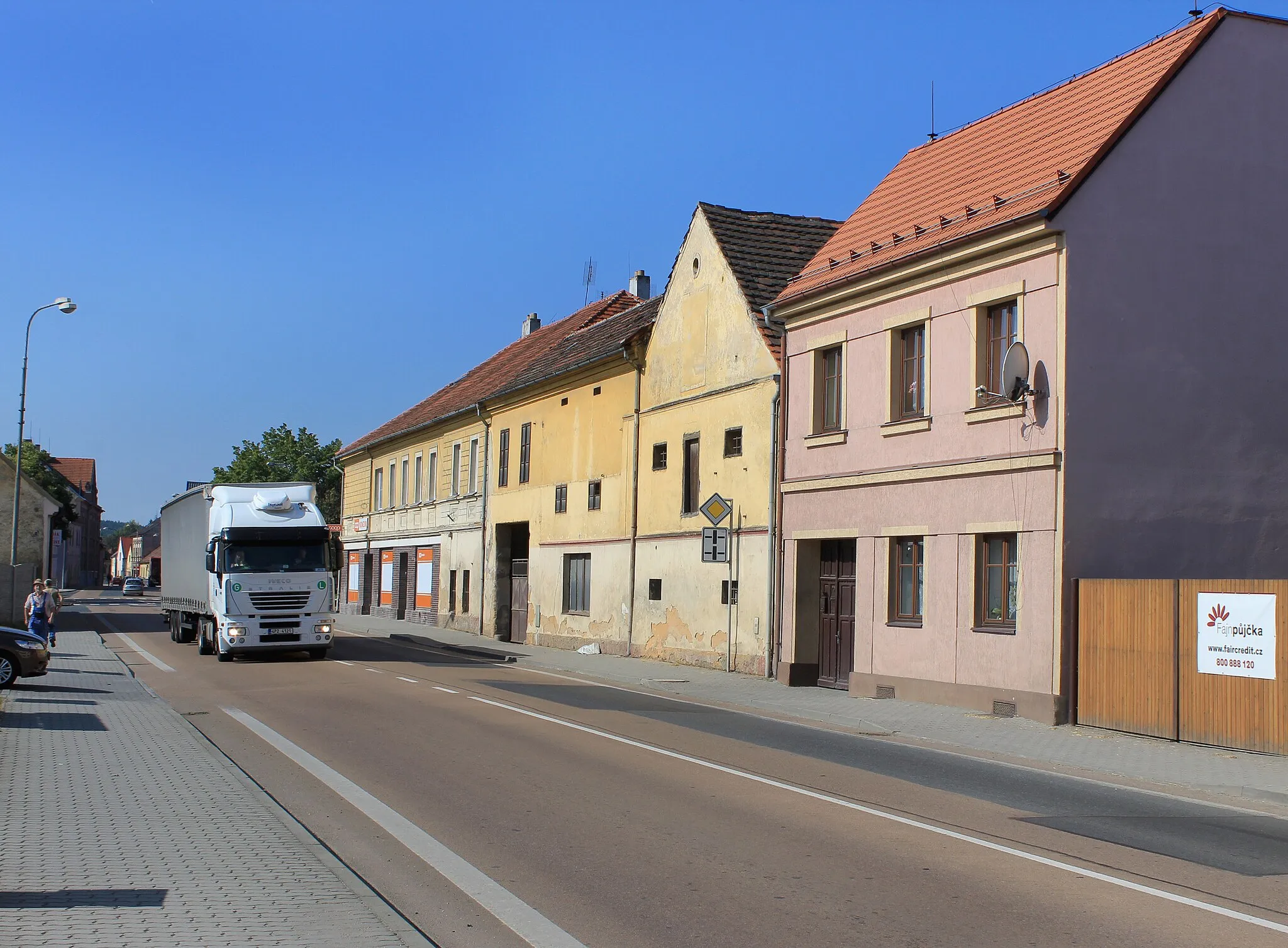
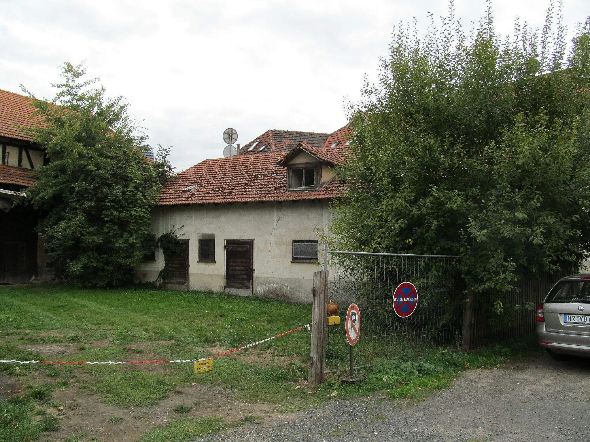
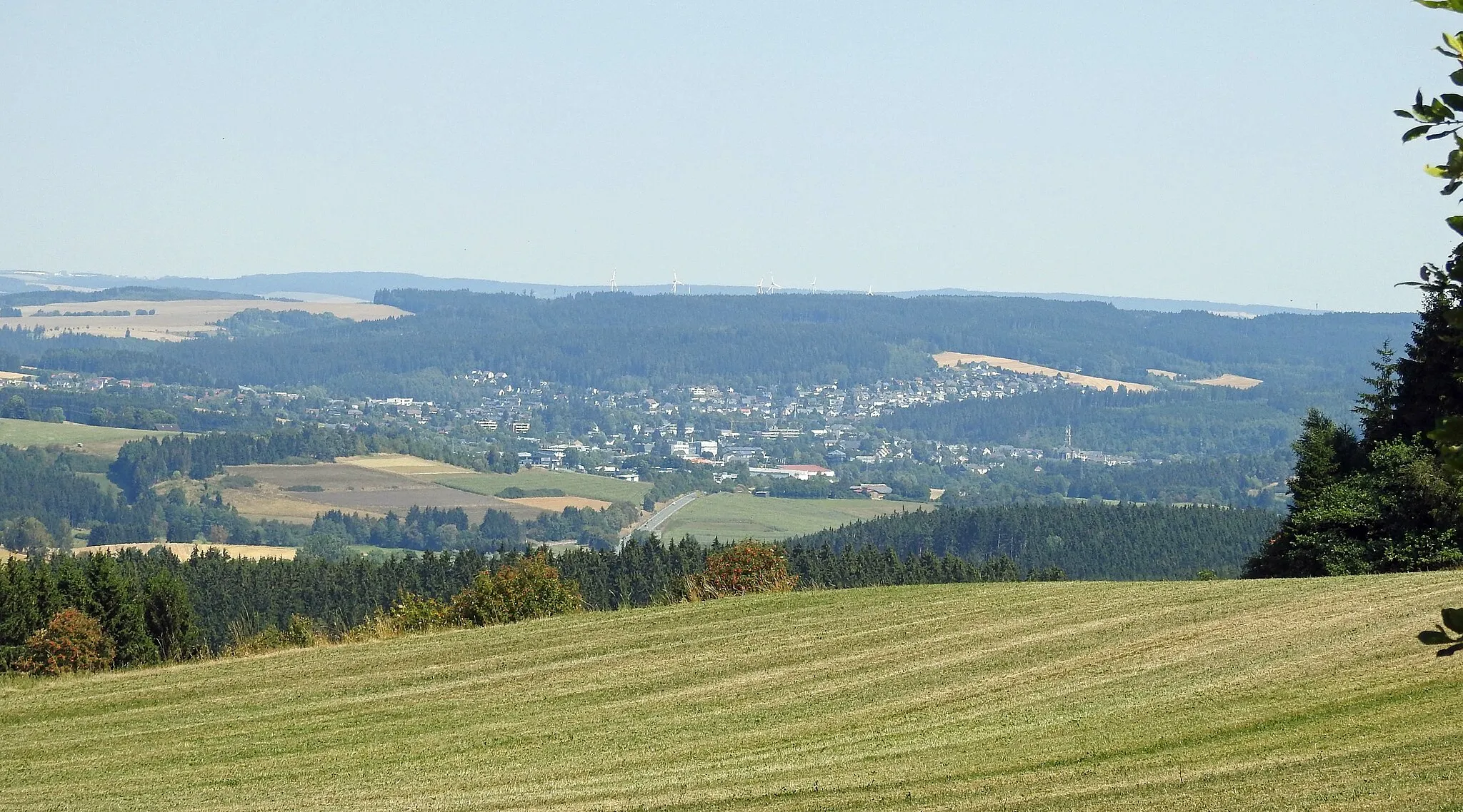
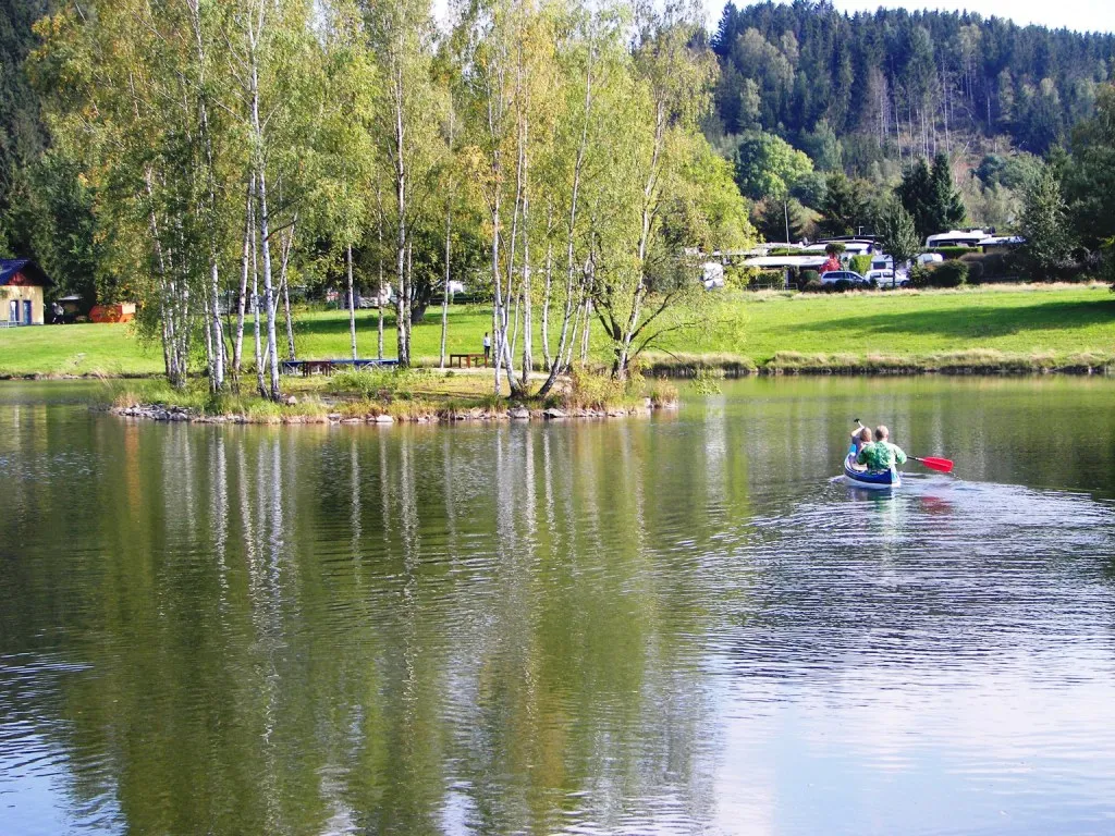
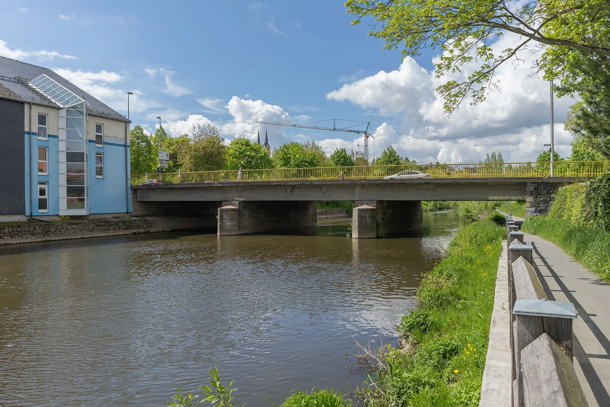
Selbitz, situated in Oberfranken, Germany, is a cyclist-friendly locality with a mix of road and gravel cycling routes. The area offers diverse terrains, including flat stretches and challenging climbs, suitable for both beginners and experienced riders. Selbitz is known for its beautiful forested areas, such as the Hof Forest, perfect for exploring on two wheels. With its well-maintained cycling infrastructure and natural attractions, Selbitz is an ideal destination for cyclists looking for adventure and tranquility.
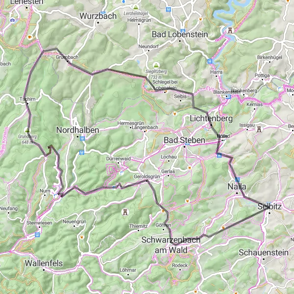
The franconian gravel adventure
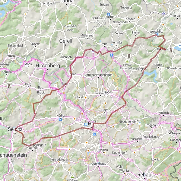
Experience the rugged beauty of Selbitz on an exciting 76km gravel ride with 1263m climb.
Discover the diverse terrain around Selbitz on this exhilarating gravel route. From the Jean-Paul-Rock formation to the idyllic Leupoldsgrün village, every kilometer is filled with picturesque landscapes and challenging ascents. The route showcases the perfect mix of natural beauty and thrilling cycling.
Embark on a thrilling 123km road cycling journey with 1923m of ascent near Selbitz.
This dynamic road cycling route near Selbitz offers a special blend of scenic beauty and challenging climbs that will delight even the most seasoned cyclists. From the rugged terrain of Sparnberg to the captivating views from Rauher Bühl, every kilometer reveals a new adventure waiting to be discovered.
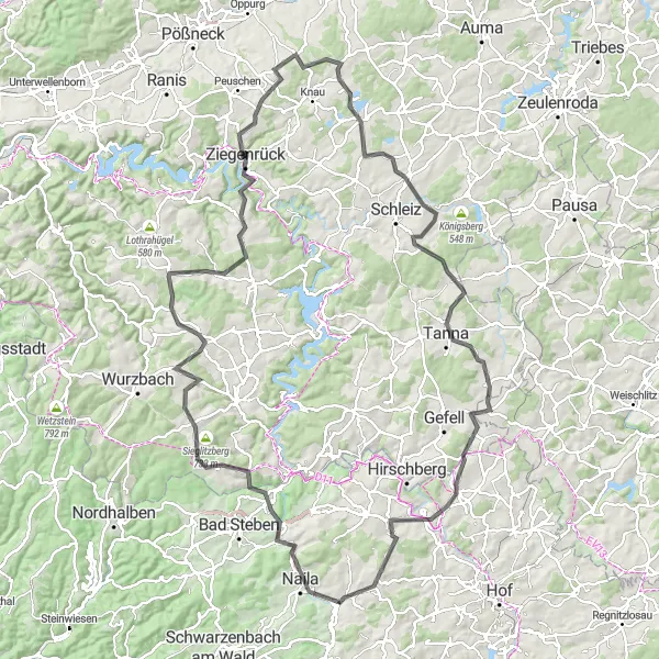
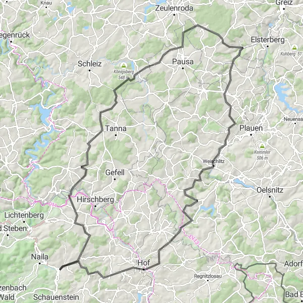
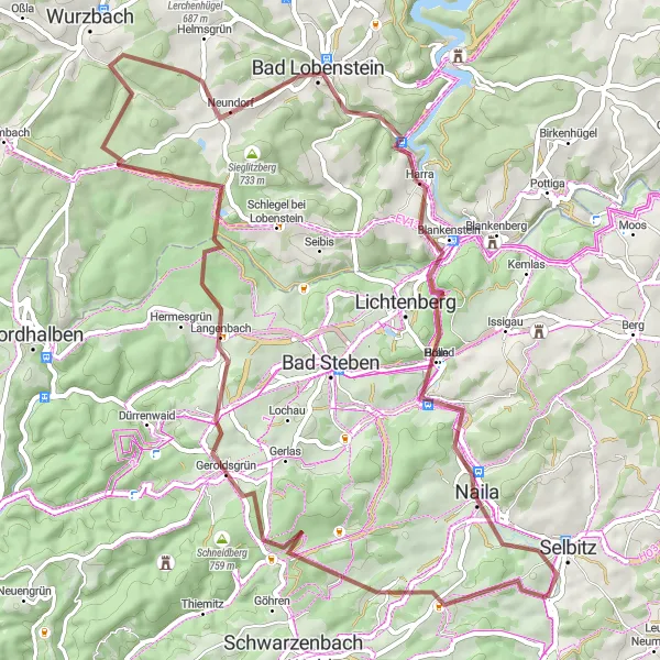
Experience the beautiful landscapes and historic villages of Upper Franconia on this challenging road cycling route near Selbitz.
The Lichtenberg Loop is a challenging road cycling route that takes you through picturesque landscapes and historic villages in Upper Franconia. With a total ascent of 1888 meters over a distance of 128 kilometers, this route is suitable for well-trained amateur cyclists who are looking for a demanding ride.
The Gravel Adventure
Embark on a thrilling gravel adventure through the scenic countryside near Selbitz.
The Gravel Adventure is a thrilling 58-kilometer route that takes you off the beaten path and into the scenic countryside near Selbitz. With a total ascent of 1250 meters, this gravel route is suitable for well-trained amateur cyclists who enjoy off-road cycling and beautiful natural landscapes.
The Schauenstein Ride
Discover the cultural heritage and scenic beauty of Schauenstein on this road cycling route near Selbitz.
Discover the cultural heritage and scenic beauty of Schauenstein on this 44-kilometer road cycling route near Selbitz. With a total ascent of 703 meters, this route is suitable for moderately trained cyclists who want to take in the picturesque landscapes and experience the charm of a historical town.
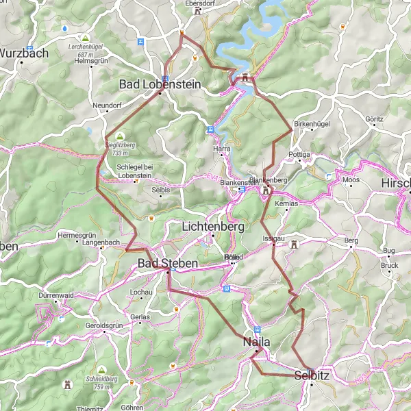
Selbitz - Naila - Spitzberg - Lichtenberg - Söllhügel - Harra - Gänsebühl - Gupfen - Berg - Neuhaus
Experience the scenic beauty of Selbitz and its surroundings on this thrilling round-trip cycling route.
This round-trip cycling route near Selbitz takes you through picturesque villages and beautiful landscapes. With a total distance of 60 kilometers and an ascent of 1103 meters, this route offers a moderate challenge suitable for well-trained amateur cyclists. Along the way, you will encounter several highlights, including Naila, Spitzberg, Lichtenberg, Söllhügel, Harra, Gänsebühl, Gupfen, Berg, and Neuhaus.
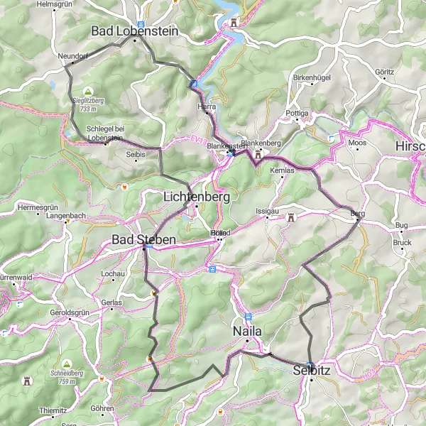
Selbitz Round Trip (Road)
Experience the challenging ascent of Döbraberg and enjoy the scenic beauty of Naila.
Embark on a road cycling adventure starting near Selbitz, where you will conquer the daring ascent of Döbraberg. Along the way, enjoy highlights such as Schwarzenbach am Wald and Kämmleinsfelsen. The overall route spans 73 km with a total ascent of 1314 m. Experience the charm of quaint villages and the natural beauty of the region.
The Hof Hills
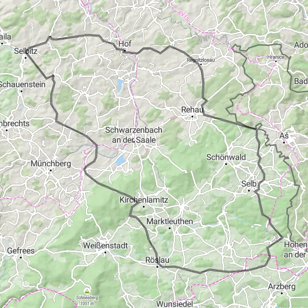
Conquer the challenging hills around Hof on this road cycling route near Selbitz.
The Hof Hills is a challenging road cycling route that takes you through the scenic landscapes and rolling hills around Hof. With a total ascent of 1742 meters over a distance of 113 kilometers, this route is suitable for well-trained amateur cyclists who are looking for a challenging and rewarding ride.
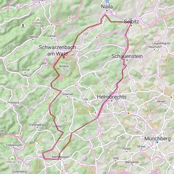
Exploring the Gravel Paths
Embark on an adventurous gravel ride through the scenic paths near Selbitz.
Embark on an adventurous 65-kilometer gravel ride that takes you through the scenic paths near Selbitz. With a total ascent of 1265 meters, this route is suitable for well-trained amateur cyclists who enjoy off-road cycling and the tranquility of nature.
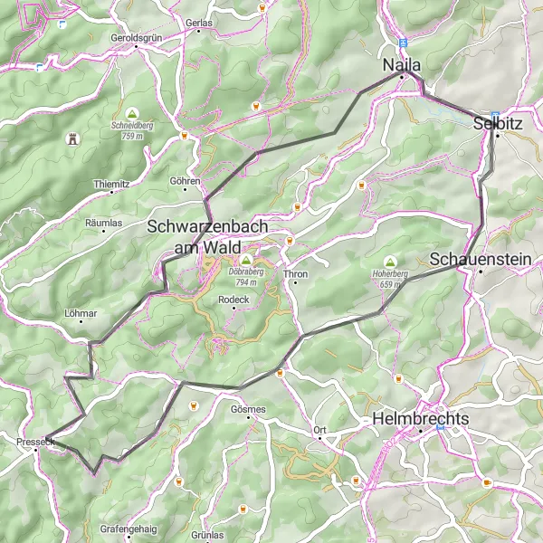
Immerse yourself in the serene beauty of the Marktleugast region on this gravel cycling tour.
Experience an epic gravel journey starting near Selbitz and heading towards Marktleugast. With an exhilarating route spanning 54 km and an ascent of 897 m, this tour offers an ideal balance of challenge and scenic beauty. Highlights along the way include picturesque spots such as Schauenstein and Naila. Explore the region's tranquil countryside and take in breathtaking views dotted with charming villages and historical attractions.
Cycling routes nearby:


Nearby regions: