Discover a hidden gem in Naila.
Cycling routes from Naila
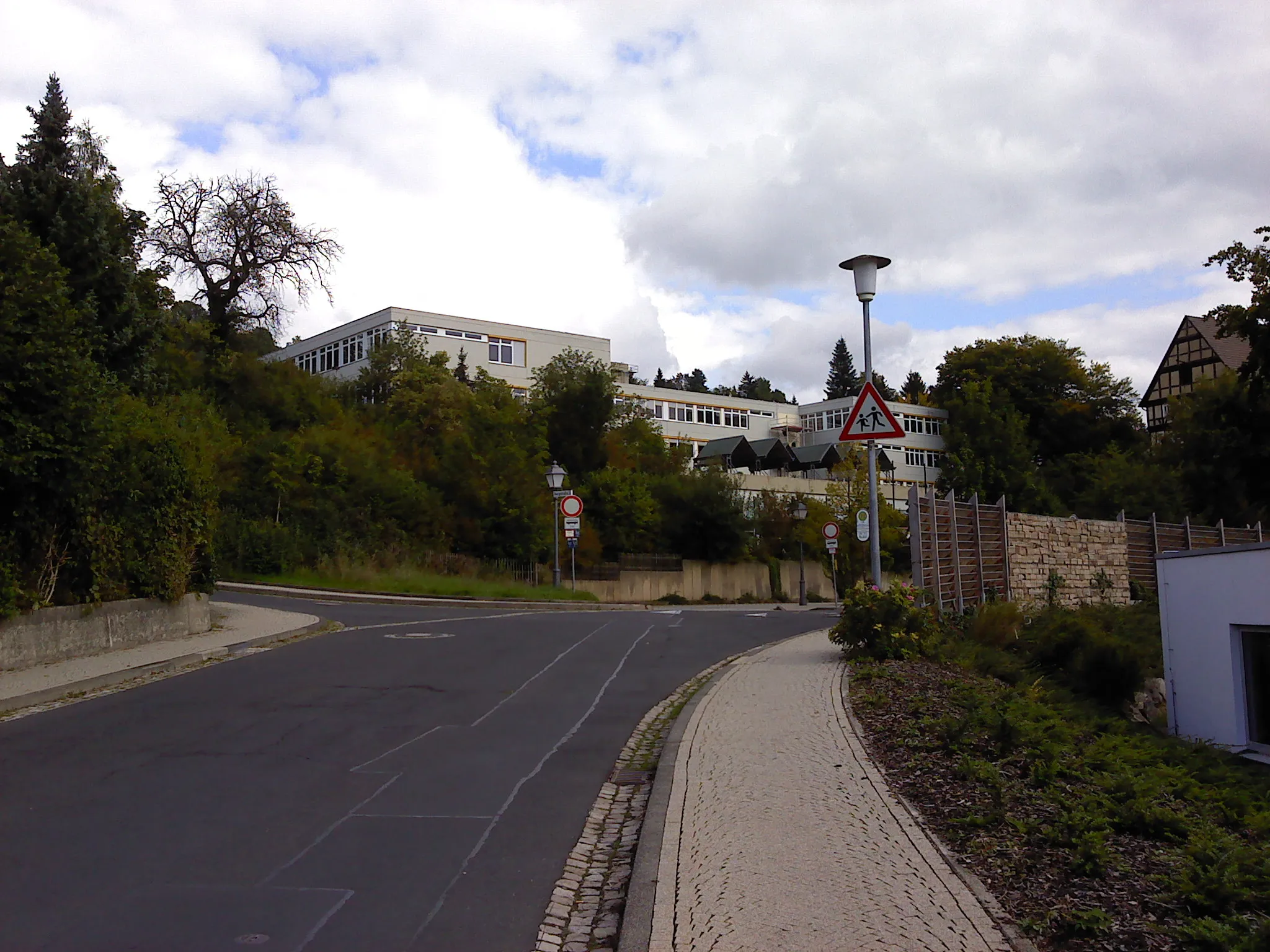
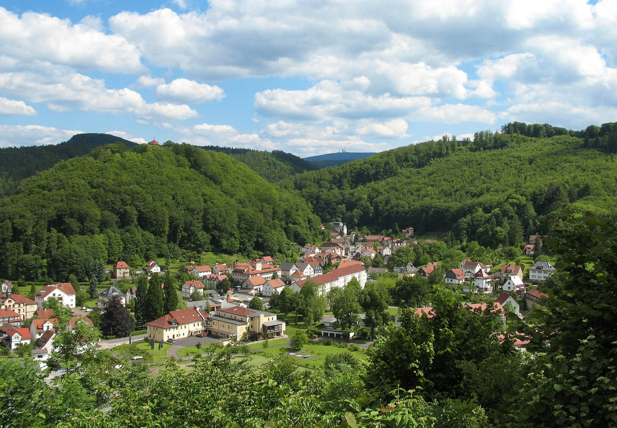
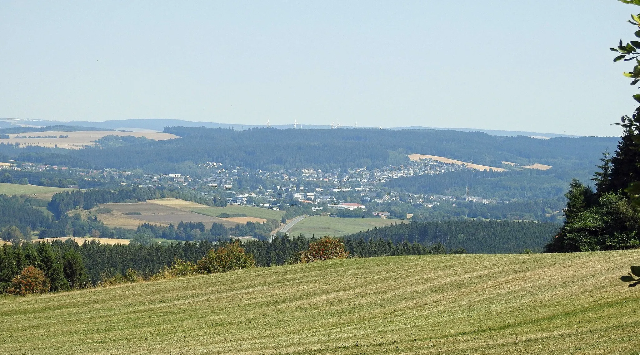
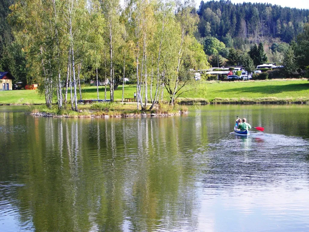
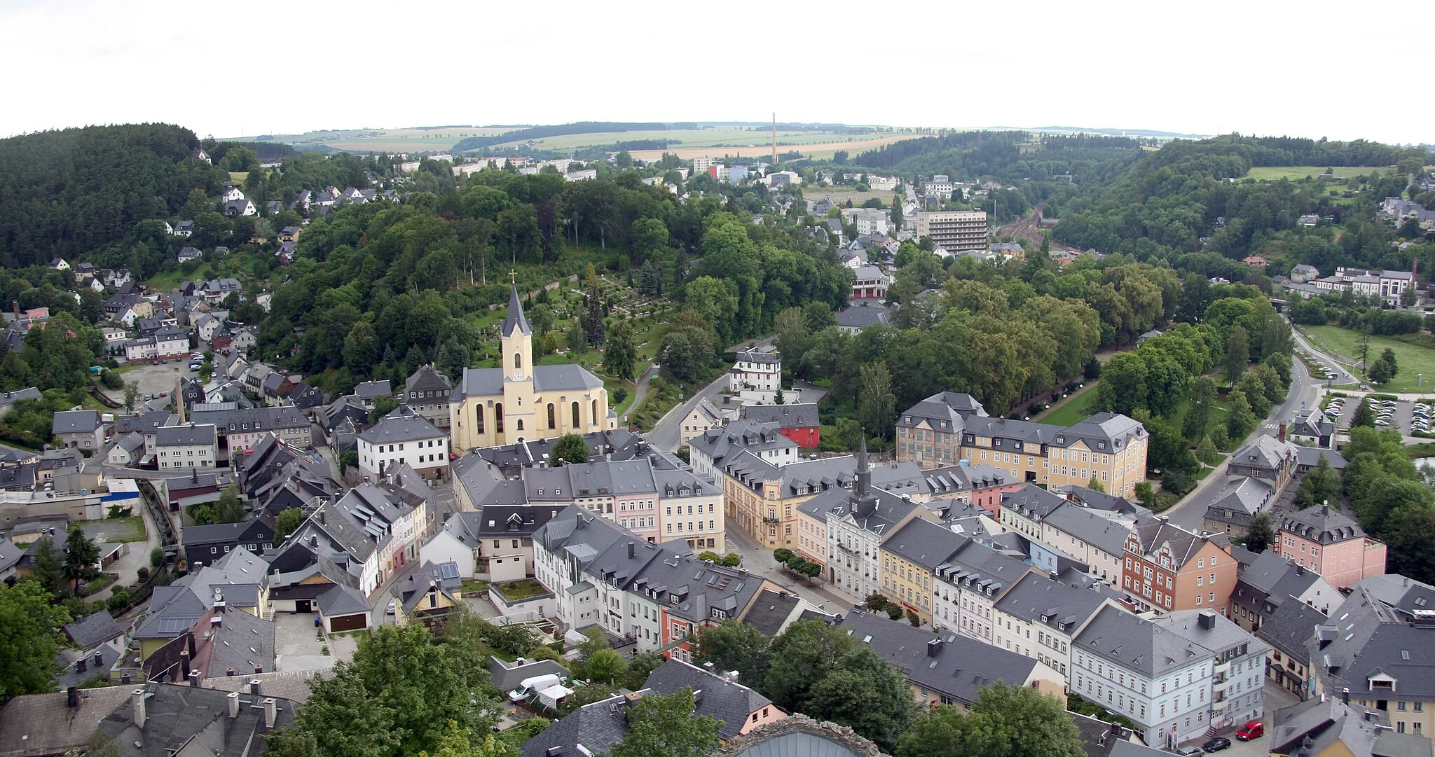
Naila, located in Oberfranken, Germany, is an excellent cycling destination for road and gravel cyclists. The region offers a variety of scenic landscapes and well-maintained roads, making it a perfect choice for cyclists. Naila is surrounded by hills and forests, providing a tranquil and refreshing environment. Cyclists can venture through picturesque routes and explore the beauty of the region. Although Naila does not boast any world-famous climbs, it appeals to cyclists who enjoy exploring lesser-known cycling spots.
Franken Forest Adventure

Experience the breathtaking beauty of Franken Forest on this challenging road cycling route.
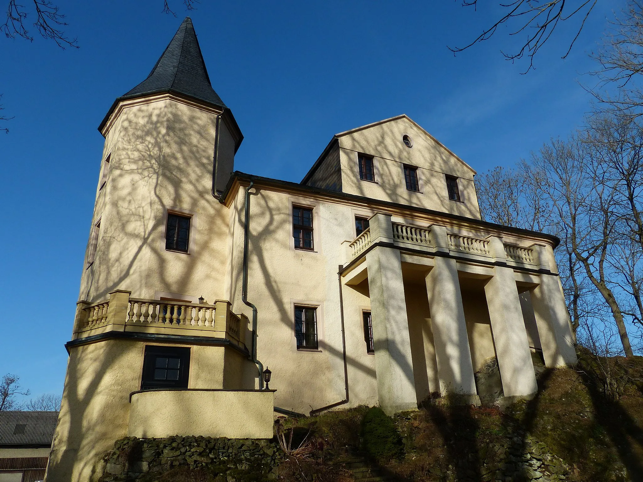
Embark on an adventurous journey through the Franken Forest, discovering quaint villages, historic landmarks, and stunning natural scenery along the way. This road cycling route covers a distance of 131 km and includes a total ascent of 2340 m, providing a thrilling challenge for experienced cyclists. Highlights of the route include visiting the Schnappenhammer, a historic ironworks site offering insights into the region's industrial heritage, and cycling up Pressiger Berg for panoramic views from the top. Explore Probstzella, a charming town, and take a leisurely break to soak in the healing thermal baths of Bad Lobenstein. The route also passes Lichtenberg Castle, where you can explore a medieval fortress. Naila-Froschgrün offers beautiful nature reserves for cyclists to enjoy the tranquility of the forest. Enjoy the diverse landscapes and emerge more connected to nature, culture, and history by the end of this thrilling cycling adventure.
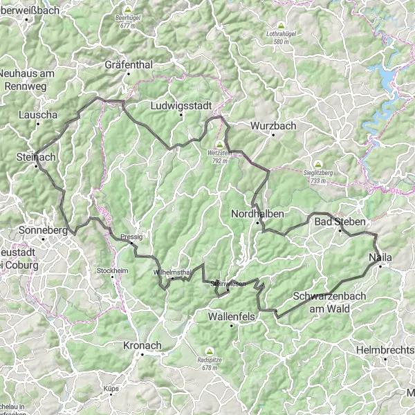
A challenging road route with stunning countryside views
Embark on a thrilling road cycling adventure through the gorgeous landscapes near Naila in Oberfranken, Germany. This 140km route offers a challenging ascent of 2532m, making it ideal for well-trained amateur cyclists looking to push their limits. The route takes you through picturesque towns and villages, with highlights including the idyllic Lippertsgrün at 5km, historical Steinwiesen at 28km, and the majestic Wilhelmsthal at 41km. Ride through scenic trails, conquer the Hessenhöhe at 65km, and appreciate the charm of Vorwerk at 78km. Adrenaline rushes await at Suhle at 88km, Lehesten at 102km, and Wetzstein at 106km. Experience the beauty of Buckenberg at 118km, visit Nordhalben at 119km, take in the views from Landeshügel at 131km, and relax at Bad Steben at 132km. Finally, complete your journey at the enchanting Naila-Froschgrün at 140km.
Hilly Loop to Platte and Schnaid
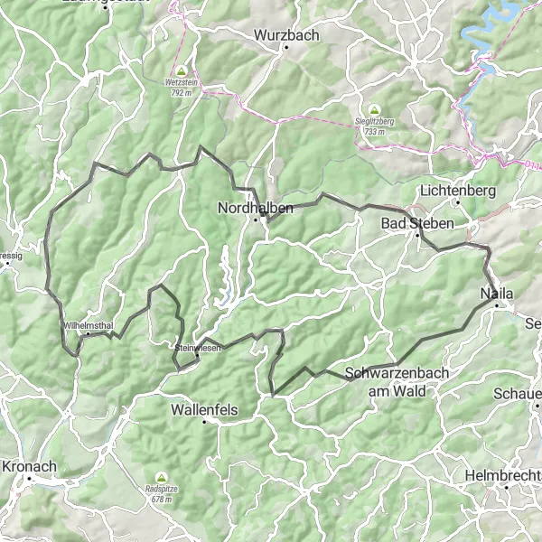
Climb up to Wasserturm Birnbaum
This 92 km road route near Naila takes you on a hilly adventure through beautiful landscapes. The highlights include the scenic viewpoint Platte and the picturesque village of Schnaid. Don't miss the climb up to Wasserturm Birnbaum, providing stunning views of the surroundings. The difficulty level of this ride is rated as 3 out of 5, suitable for experienced cyclists. Epicness rating is 3 out of 5, with challenging segments along the way.
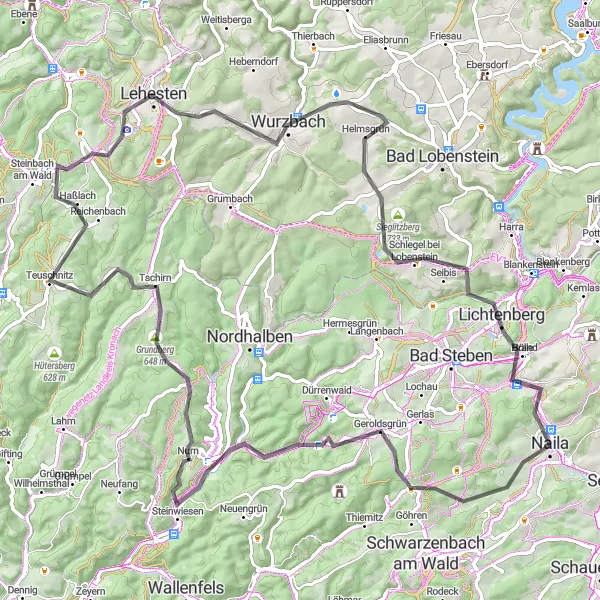
Embark on a challenging road cycling tour through Oberfranken, taking in the beautiful Lehesten area.
This 90-kilometer road cycling route offers a challenging adventure for experienced cyclists. With an ascent of 1717 meters, prepare for some elevation gain. Along the way, you'll pass through Geroldsgrün, known for its idyllic landscapes, Kämmleinsfelsen, a stunning rock formation perfect for a stop and photo opportunity, and Tschirn, a scenic village nestled in the Franconian Forest. The route also includes the iconic Lehesten, a hidden gem famous for its natural beauty. Ride through Culm and Söllhügel, both known for their panoramic views, before returning to Naila-Froschgrün for a triumphant finish.
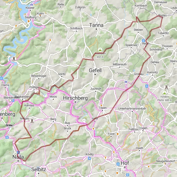
Embark on an adventurous gravel tour near Naila, exploring the scenic highlights of the area.
Immerse yourself in the natural beauty of Naila's surroundings with this 75-kilometer gravel tour. The route includes an ascent of 1151 meters, providing a challenge for experienced riders. Highlights of the journey include Blankeneck, a charming village known for its tranquility, Pottiga, a peaceful hamlet surrounded by beautiful landscapes, and Rosenbühl, a perfect spot for breathtaking views. Pass through Rodau and Töpen, two picturesque towns that showcase the Franconian lifestyle. Along the way, make sure to visit Jean-Paul-Felsen, a famous rock formation, and conclude the adventure in Naila, where you can enjoy the town's vibrant atmosphere and cultural heritage.
Gravel Exploration near Naila
Discover the beauty of gravel roads and scenic landscapes
Embark on a gravel adventure near Naila, Germany, and explore the picturesque surroundings. This 81km route is perfect for gravel enthusiasts seeking a moderate challenge, with an ascent of 1381m. Enjoy the convenience of starting your journey in Naila at the 0km mark and take in the beauty of Solg at 25km. The enchanting Goldberg at 40km offers sweeping views and rich historical significance. Explore the charming town of Marktschorgast at 40km and admire the captivating landscapes of Marktleugast at 54km. Finally, conclude your adventure in Schwarzenbach am Wald at 71km.
Gravel Adventure around Naila
Explore the picturesque landscapes and cultural highlights around Naila on this gravel adventure.
Embark on a scenic gravel cycling journey around Naila and marvel at the stunning landscapes that Oberfranken has to offer. This 46 km route takes you through charming villages, lush forests, and rolling hills, providing an exhilarating experience for gravel bike enthusiasts. With a total ascent of 688 meters, expect some challenging climbs along the way, but the rewarding panoramic views make it all worthwhile. Immerse yourself in the rich history of the region and discover highlights such as Jean-Paul-Felsen, Joditz, Selbitz, and Schöne Aussicht. Whether you're a local or visiting from afar, this route guarantees an unforgettable adventure.
Enjoy a scenic loop near Naila, passing through Feilitzsch.
Embark on a gravel cycling adventure in the Feilitzsch area near Naila. This 44-kilometer route includes an ascent of 617 meters, making it suitable for intermediate riders. Along the way, you'll encounter the iconic Jean-Paul-Felsen after 13 kilometers and Feilitzsch, a charming village known for its traditional architecture. The ride concludes in Naila, where you can explore the town's cultural heritage and vibrant atmosphere.
Explore the beautiful towns of Wallenfels and Rothenlübbnitz
Covering a distance of 114 km, this road route near Naila offers a scenic journey through picturesque landscapes and charming small towns. Don't miss the opportunity to visit Bernstein am Wald and admire its unique architecture and cultural heritage. Take a break in Wallenfels and explore its idyllic streets and historical sites. The difficulty level of this route is rated as 4 out of 5, suitable for experienced cyclists looking for a challenge. Epicness rating is 4 out of 5, as the route includes challenging climbs and beautiful vistas.
A delightful road route perfect for a quick escape
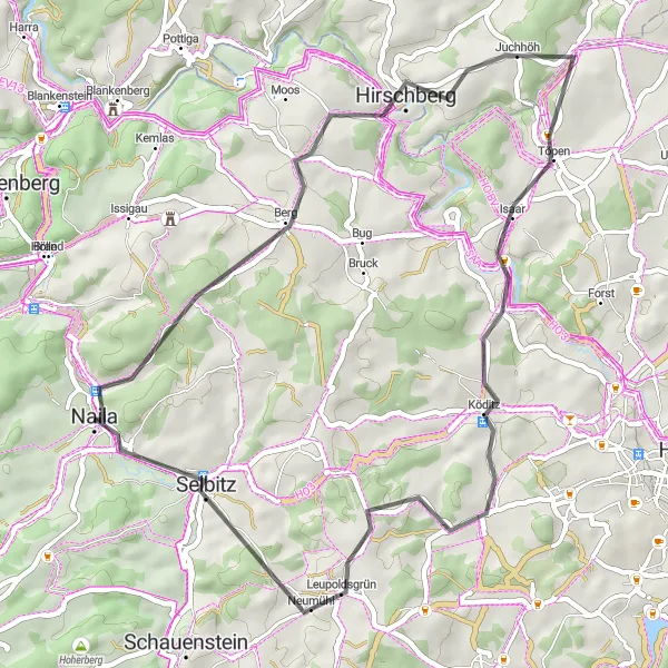
Escape on a scenic road cycling adventure near Naila, Germany, on this delightful 48km route. With a manageable ascent of 845m, this route is ideal for a quick getaway or beginners looking for a shorter ride. Enjoy the scenic beauty of Hirschberg at 13km and marvel at the charming Hexenhaus at 14km. Töpen awaits at 22km, offering a calming atmosphere and lush vegetation. Garbühl provides a picturesque setting and refreshing views at 24km, followed by Köditz with captivating landscapes at 30km. The majestic Hoher Stein awaits at 38km before you return to the enchanting Naila at 48km.
Cycling routes nearby:


Nearby regions: