Gravel Exploration near Naila
A gravel cycling route starting from Naila
Discover the beauty of gravel roads and scenic landscapes
Map
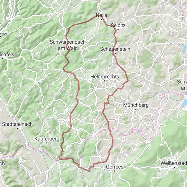
Embark on a gravel adventure near Naila, Germany, and explore the picturesque surroundings. This 81km route is perfect for gravel enthusiasts seeking a moderate challenge, with an ascent of 1381m. Enjoy the convenience of starting your journey in Naila at the 0km mark and take in the beauty of Solg at 25km. The enchanting Goldberg at 40km offers sweeping views and rich historical significance. Explore the charming town of Marktschorgast at 40km and admire the captivating landscapes of Marktleugast at 54km. Finally, conclude your adventure in Schwarzenbach am Wald at 71km.
gravel
81 km
1381 m
Tough
Route profile
Highlights on the route
0 km
0 km
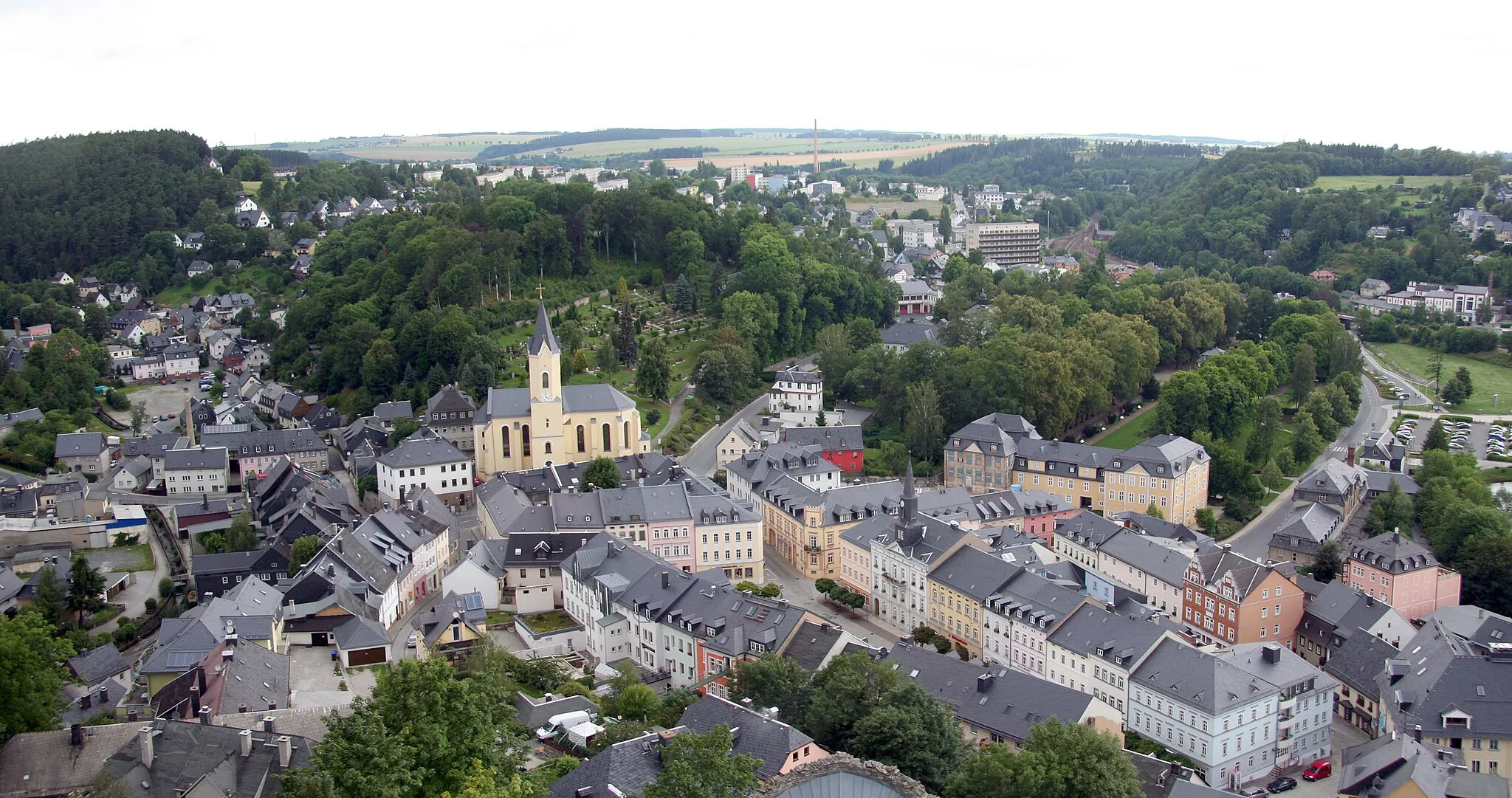
Start: Naila City centerNaila: Discover a hidden gem in Naila.
Naila, located in Oberfranken, Germany, is an excellent cycling destination for road and gravel cyclists. The region offers a variety of scenic landscapes and well-maintained roads, making it a perfect choice for cyclists. Naila is surrounded by hills and forests, providing a tranquil and refreshing environment. Cyclists can venture through picturesque routes and explore the beauty of the region. Although Naila does not boast any world-famous climbs, it appeals to cyclists who enjoy exploring lesser-known cycling spots.0 km
0 km
NailaTownNaila is a charming town that serves as the perfect starting point for your gravel adventure.
25 km
25 km
SolgVillageSolg is a tranquil village renowned for its beautifully kept gardens and excellent cider.
40 km
40 km
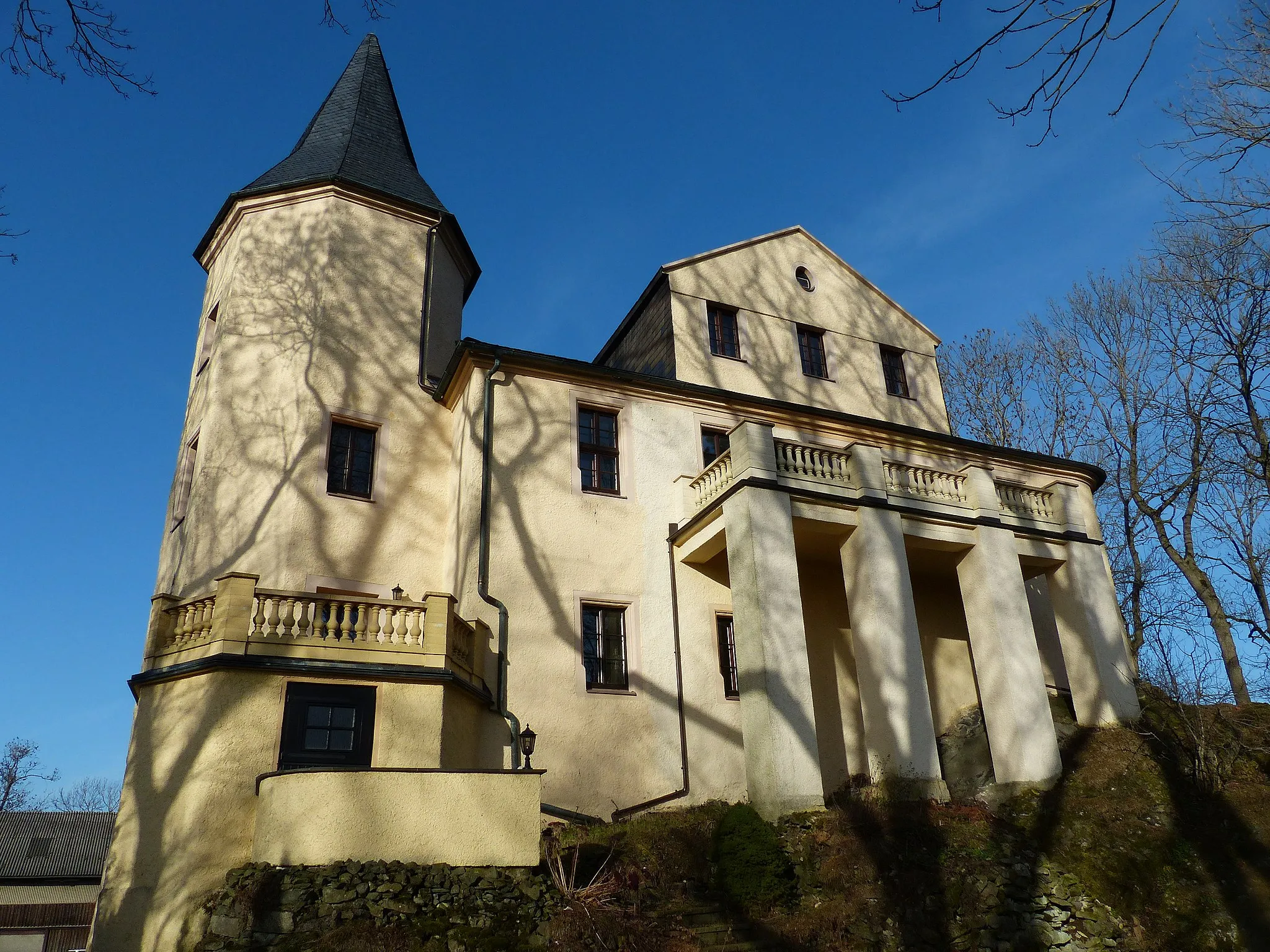
Goldberg548 mPeakGoldberg is a historic castle ruin perched on a hill, offering panoramic views of the surrounding countryside.
40 km
40 km
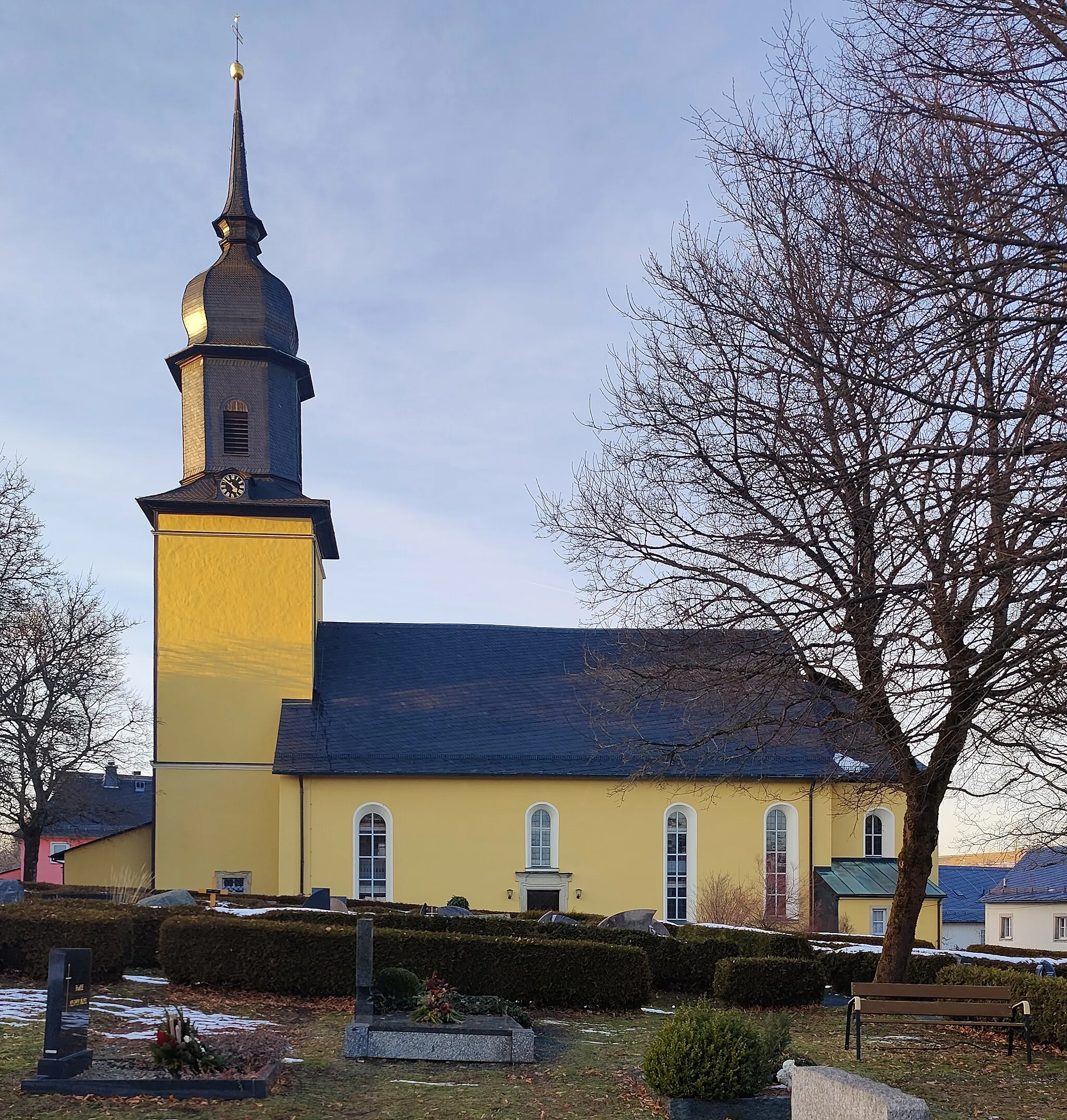
MarktschorgastVillageMarktschorgast is a quaint town known for its picturesque charm and friendly locals.
54 km
54 km
MarktleugastVillageMarktleugast is a hidden gem nestled among rolling hills, providing the perfect setting for a peaceful retreat.
71 km
71 km
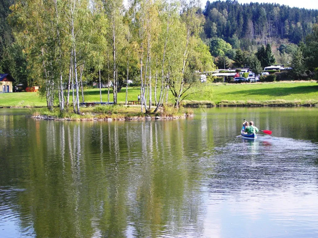
Schwarzenbach am WaldTownSchwarzenbach am Wald offers a tranquil setting with its verdant forests and crystal-clear lakes.
81 km
81 km
Finish: Naila City centerNaila: Discover a hidden gem in Naila.
Cycling routes from Naila:
Around Jean-Paul-Felsen Scenic Feilitzsch Loop Challenging Tour Through Oberfranken Adventure through Naila's Surroundings Discovering Helmbrechts and Beyond Hilly Loop to Platte and Schnaid The Lippertsgrün Escape Gravel Exploration near Naila Short and Sweet Hexenhaus Ride Scenic Loop to Bernstein am Wald and Tschirn Franken Forest Adventure Gravel Adventure around Naila
Cycling routes nearby: